On this beautiful snowshoe trail, you get a view of the north face of Matterhorn, not seen from other parts of Zermatt. We liked the first half of the trail best, with almost constant views of the Matterhorn and a full panorama of the area. There’s a nice cafe at the mid-point for lunch. Then a long walk back around the mountain on a snowy access road, still attractive but not the most inspiring.
Although the Gornergrat snowshoe trail would be our top choice in Zermatt, this trail was also very lovely and fun with the family. Please check snow conditions before heading out. If avalanche warnings are high, this trail may be closed.
See also How to snowshoe in Switzerland for beginners and What to pack & wear on a winter hike
| Location: | Zermatt Switzerland |
| Address: | Matterhorn Glacier Paradise cable car – Schluhmattstrasse 28, 3920 Zermatt Trail starts at Schwarzsee station. |
| By car: | must park in Täsch and ride train to Zermatt – Bahnhofstrasse 1, 3929 Täsch 3hr40 from Zurich to Tasch |
| By transit: | from Zermatt train station, either 15 min walk to shuttle to cable car 3hr15 from Zürich |
| Trail: | 9 km one way, about 3.5 – 4 hrs |
| Condition: | marked snowshoe trail, not groomed |
| Skill: | moderate |
| Open: | Dec through early April, assuming snow |
| Prices 2024: | Cable car fare: CHF 43/adult Discounts with Swiss Travel Pass, for SBB GA & Half-fare. Kids under 9 and Junior card ride free. |
| More info: | www.zermatt.ch • webcams |
Location
This snowshoe trail is in Zermatt in southern Switzerland.

Hiking map
To reach this snowshoe trail, you ride a gondola from Zermatt to Schwarzsee. Then you snowshoe down to Stafel, where you’ll find a restaurant. Then you join the service road/winter walking trail, which leads to Furi, where you can catch the gondola back to Zermatt. You can optionally continue walking from Furi to Zermatt, adding on another 2hrs to your trail.
The first part of this trail from Schwarzsee to Stafel is the North Face trail #144. The second part is trail #122 Furi – Stafel. I don’t know why the Zermatt website separates this trail into two parts; you have to do both sections because there are no mountain lifts or transport between Stafel and Füri.
Getting to Zermatt
By car: Drive to Täsch and park at Matterhorn Terminal Täsch (Bahnhofstrasse 1, 3929 Täsch), a large parking structure at the train station. Then you need to ride the train from Täsch to Zermatt. It runs every 20 mins and takes about 12 mins. You need a train ticket for this.
By public transport: Take a train to Zermatt.
Getting to the cable car
The cable car is located at the south end of Zermatt. From the main train station, it’s a 1.8 km walk through the village. In winter, there is a free shuttle that runs about every 8-10 mins and has several stops through town, including the train station. Take the green shuttle direction Kleine Matterhorn.
Planning your day
Gondola tickets
You’ll need a one-way ticket from Zermatt to Schwarzsee to reach the trail. Then you need another one-way ticket from Füri to Zermatt at the end of your hike. You could also hike down from Füri to Zermatt, so best to buy this second ticket when you get to Füri instead of all together.
In 2024, these tickets will cost you about CHF 43/adult.
For winter hiking, you get a 50% discount for SBB Half Fare Card, Swiss Travel Pass, GA and children aged 9 to 15 without Junior cards. No discount with a GA one-day pass. Children with a SBB Junior Card and those under 9 ride free. Check their website for current prices.
Operating times
The gondola generally runs from 8:30 to 16:45. But gondolas can close due to weather conditions, so check current conditions and operating times.
Equipment Rental
You can rent snowshoes at the sport shop next to the gondola.
Photo story of the trail
Arriving at Schwarzsee
From Zermatt, you ride in an individual gondola car up the mountain and exit at Schwarzsee mid station. The gondola keeps going up the mountain for skiers. But if you are walking, make sure to get off at Schwarzsee. You’ll see the trail below the station. You can’t really see the Schwarzsee lake because it’s frozen and covered with snow.

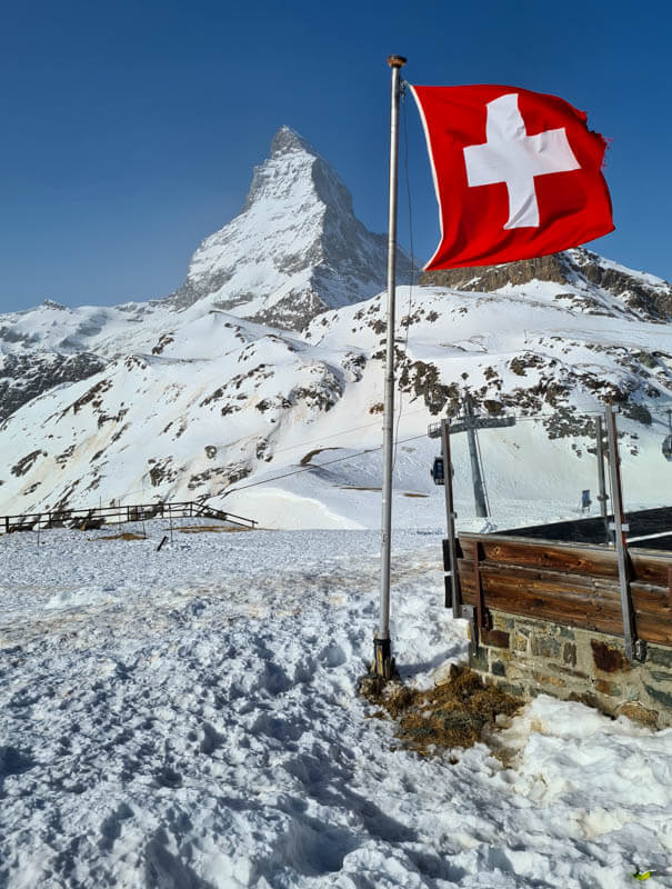
I recommend a short detour over to the Schwarzsee hotel/restaurant so you can get this pic with the Swiss flag.
Then walk down the ski slope and take a pic with this Zermatt sign. There is a selfie camera here – just scan your gondola ticket and you have 10 seconds to get into position. Then you can pick up your pic later.

The trail starts on a groomed path marked with pink poles. This is for both hikers and those with snowshoes. This trail will fork later with the hikers forking right, down to the next gondola station.
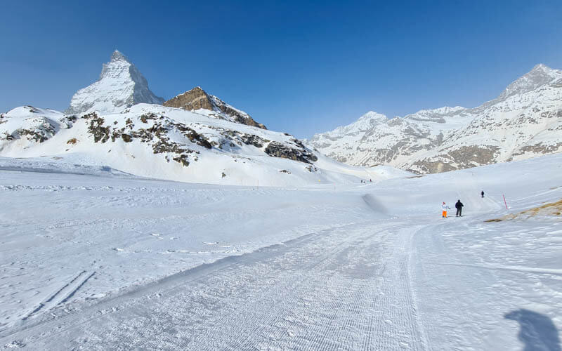
Looking back up the trail. We were worried at this point, not sure if we were following the right trail. You are. Just keep following the groomed path down the mountain. It will be obvious when it forks to the left.

Pretty wind swept snow up here. The day before this gondola was closed for high winds. I hear this happens often.
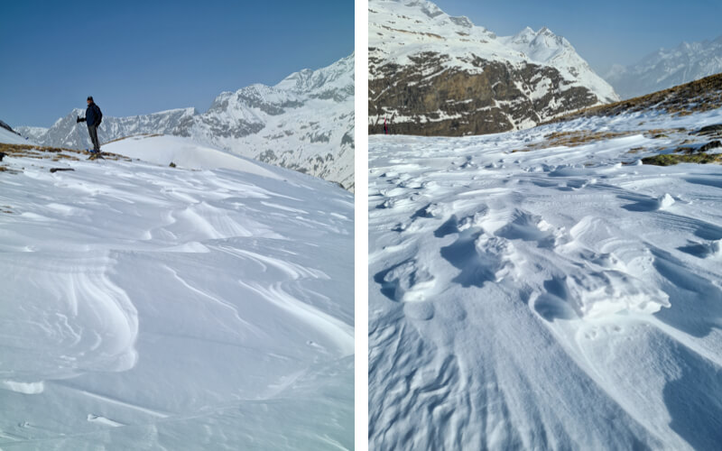
Still groomed for a bit.
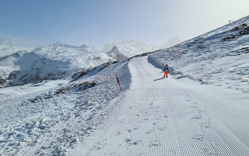
Wrapping around to the north face of the Matterhorn.

Crossing the ski piste.
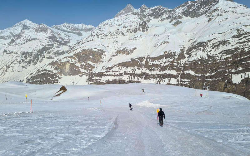
Very flat on this part. The snow was very old by the time we were there, so all stomped down.

So many epic pics to take on this hike.

Now we start heading down the mountain again.
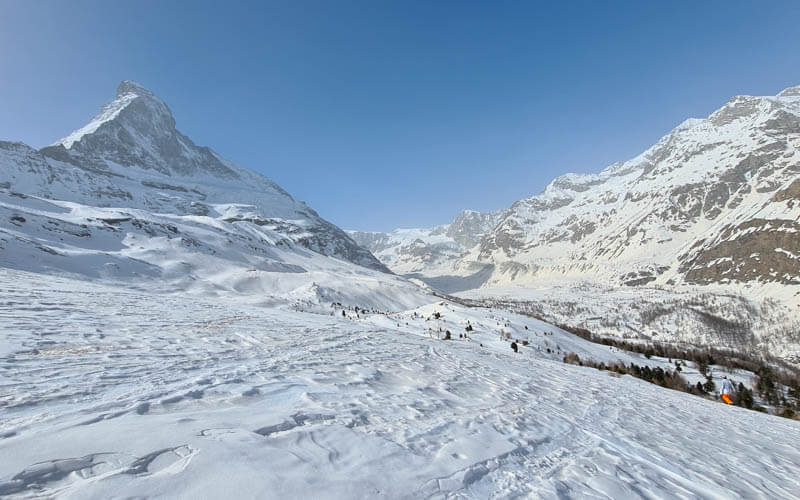
Some parts are a bit steep, some are rolling.
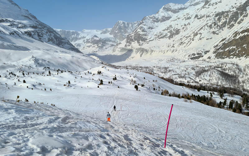
Very pretty landscape over here and so quiet away from the ski piste.
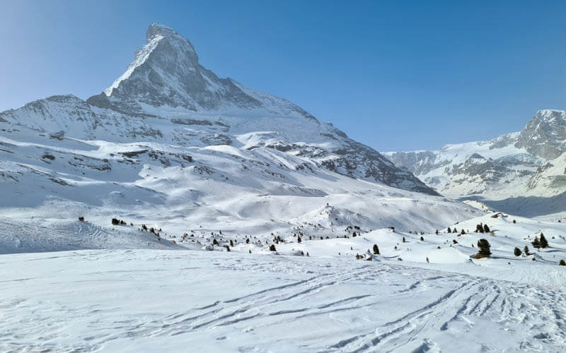
Now a really steep section down to Stafel. This was hard on my knees and I slipped a lot, even with snowshoes. We saw people on this section with just hiking shoes, not recommended. They were having a tough time sinking into the snow. Plus their deep footprints tore up the snowshoe trail, making it difficult to walk on.
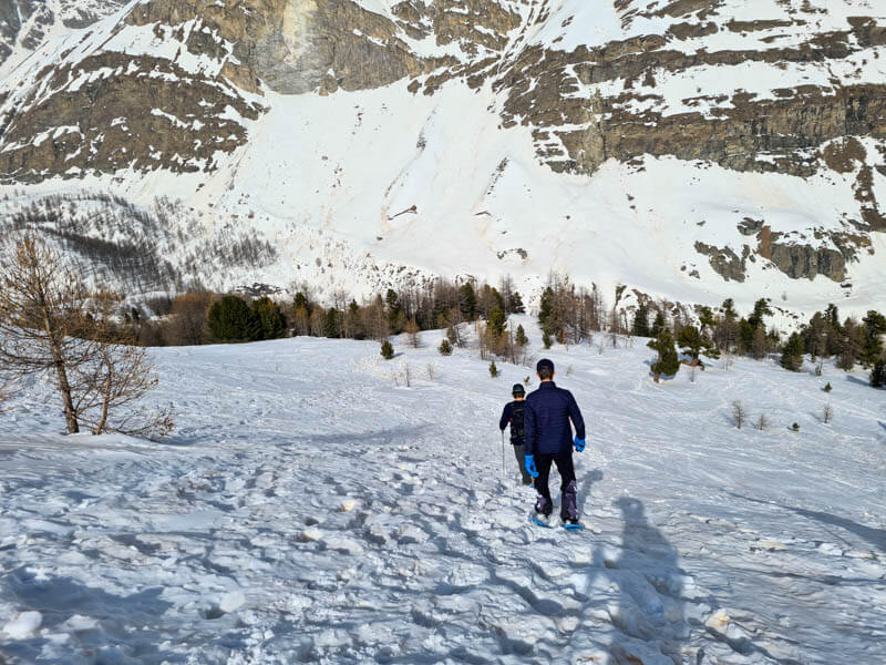
Reaching Stafel, where you find this small restaurant serving the skiers. They had nicer food than most ski huts, with chicken wings, lentil hummus burrito, curry carrot soup, apple strudel with ice cream, etc. I’d definitely eat there again.
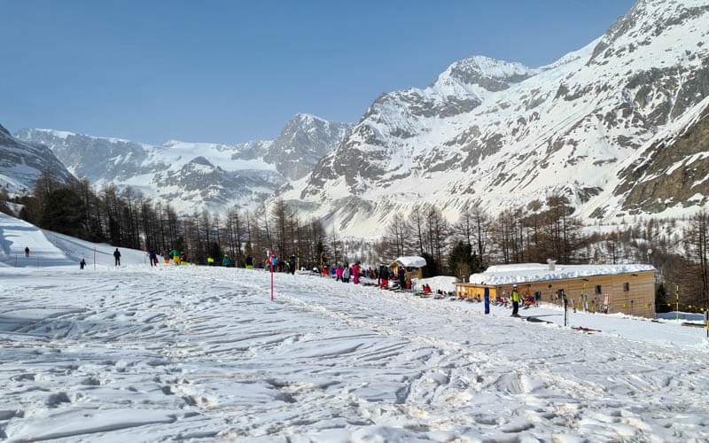
Now we join the road / winter walking path down to Füri, not my favorite part of the day. It’s just a very long road back to town.
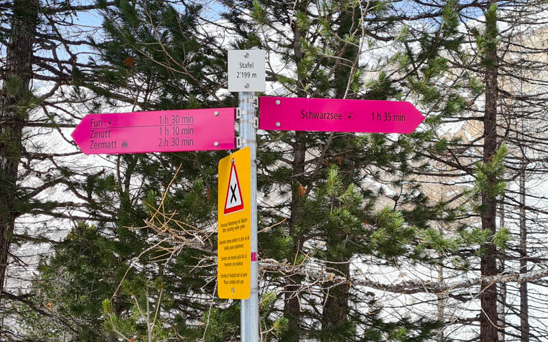
Here’s the sign but there’s only one road. You won’t get lost.
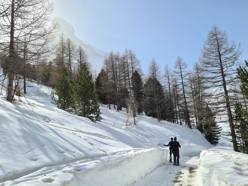
In Feb, the snow was already melting on the road in the sunny parts. Sometimes we thought about taking off our snowshoes but some parts in the shade were really icy. So we were happy to have the traction of the snowshoes.

It’s still a pretty walk, just nothing compared to the first part of the hike with the Matterhorn views. Honestly, after about 30 mins, I was so done with this hike and couldn’t wait for this road to end.

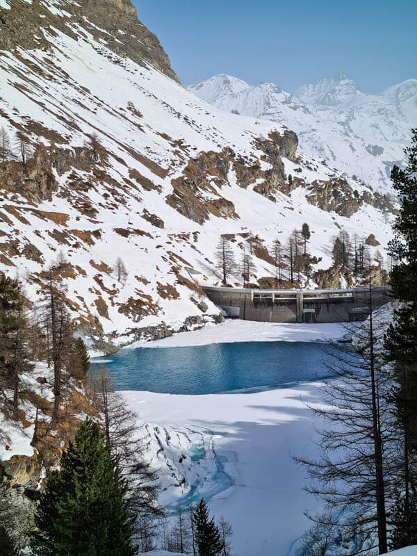
This reservoir was a highlight of this section.
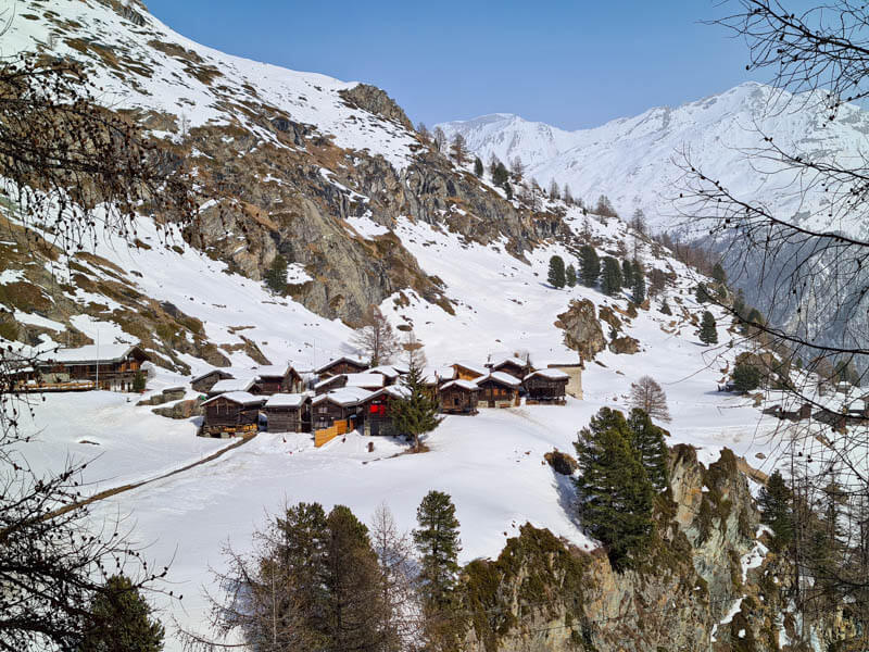
These rustic houses on the cliffs were also quite lovely.
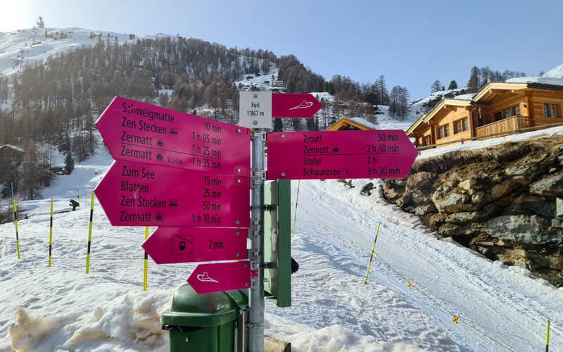
Last sign pointing us to the gondola at Füri, where you can buy a ticket and ride down to Zermatt. If you want to keep walking, follow the pink signs down to Zermatt on the winter walking path. I’ve done that in summer and it was lovely. But it’s a long way in winter (signs says 2hr10) after already doing the snowshoe trail.
I hope you like this trail! See more Swiss snowshoe trails we recommend.
See more activities in Zermatt.
See also Winter Walks in Switzerland





