The beautiful “Silener Höhenweg” trail traverses a big mountain, leading through meadows and forests, ending in the pretty alpine village Golzern.
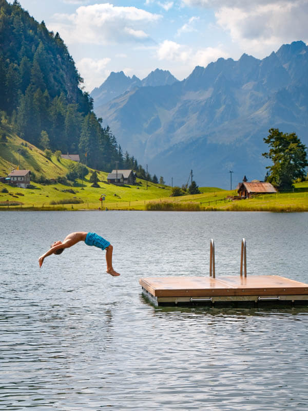
It’s good for hot summer days, since a good portion of the hike is in the forest. Also at the end of the hike, you can jump in the idyllic Golzernsee lake, a great way to cool off.
We had a great time on this trail when our kids were 10 and 13 years old. It was a bit of work, but not too long or difficult. It’s a good one for casual hikers and families with older children that want a relatively short outing.
But it’s not good for those uncomfortable with heights, as it does have a couple exposed sections with steep slopes to one side and a handrail.
| Region: | Canton Uri / Lake Lucerne region, Switzerland |
| Starting point: | Luftseilbahn Chilcherberge cable car: Brandistrasse 7, 6473 Silenen |
| By car: | Best to park at Bristen-Golzen cable car: Talweg 37 6475 Silenen From Zurich 1h10, Lucerne 45 mins |
| By public transport: | bus stop Silenen, Dägerlohn From Zurich 1hr30, Lucerne 1h17 |
| Trail: | 8.5 km (including visiting lake) |
| Time: | about 3 hours |
| Difficulty: | moderate / 370m up, 130m down |
| Condition: | dirt footpath, rocky, stairs, short exposed section |
| Elevation: | highest point 1470m |
| Open: | usually late May to mid-October, weather dependent |
| Cost 2024: | round trip hiking ticket CHF 17.80/adult No discounts with Swiss travel cards |
| Extras: | no services along trail / at end: restaurants, swimming, changing rooms & WC at lake |
| More info: | www.lsb-golzern.ch • www.chilcherbergen.ch • webcam • forecast |
Gallery


Trail overview
Here is the hiking map for the Silenen/Golzern area.
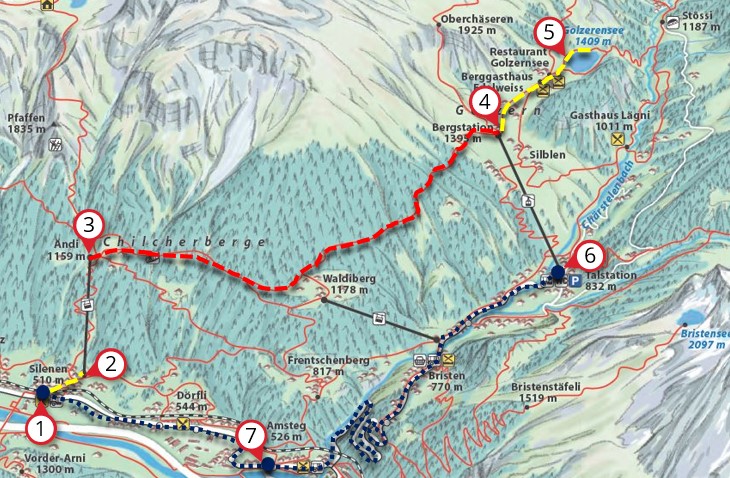
From the Silenen bus stop (1), it’s a 10 min walk to the Silenen-Chilcherberg cable car (2). At the top of this cable car (3), the “Höhenweg Silenen” trail starts, leading toward the alpine village Golzern.
When you reach the Golzern cable car (4), you can optionally continue walking to the Golzernsee lake (5), which has a swimming area, a few picnic areas with grills, changing rooms, and WC. There are a couple restaurants in the nearby village.
Then walk back to the Golzern-Bristen cable car (4) and ride down to Bristen (6). You may have left your car here. Or catch the bus down to Amsteg (7), then another bus to the Erstfeld, Bahnhof train station to continue home.
Trail map
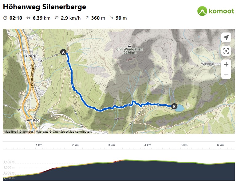
Here is the trail map. I’ve included the extra 1.5 km through the Golzern village to the lake and back to the cable car. But if you want to just end at the Golzern cable car, the hike is only about 5km long.
View trail map on Komoot • SchweizMobil • OutdoorActive
If you hike from Silenen to Golzen, the hike is mostly uphill, gaining 400m of elevation. We prefer this direction because you end at the lake, where you can cool off and relax. But you could hike in the opposite direction.
Easier hike
You can visit the Golzernsee more directly by riding the Bristen-Golzern cable car up and walk on the service road out to the lake, about 30 mins. This path is possible with all-terrain strollers and easy enough for small children. See details for this walk.
Longer hiking options
When you arrive at Lake Golzern, you can keep hiking down the mountain to Bristen instead of riding the cable car down. We did this one time and really enjoyed walking back along the river. See sample trail map.
If you enjoy a tough climb, you may like the hike from the Silenen cable car up to the Seewlisee lake, 10k round trip 1040m up and down.
Another great option is the Höhenweg Maderanertal, which starts in Golzern and hikes up the alpine valley to a mountain hut. See more hikes in the Golzern area.
How to get there
This hike is accessed by a cable car in Silenen, south of Lucerne near the Gotthard tunnel.

This is a one way hike. So in any case, you will need to connect your start and end point by public transportation. I suggest starting the hike at Silenen and ending in Golzern. If you are hiking the other direction, starting in Golzern, you need to reverse the directions.
By public transport:
Take a train to Erstfeld, Bahnhof, then a bus to Silenen, Dägerlohn. Then a 10 min walk to the Chilcherberg cable car (see on map). The hike starts at the top of this cable car.
The hike ends in Golzern. Ride the cable car down the mountain to Bristen. The Bristen, Talstation Golzern bus stop is directly at the cable car station. Take bus 470 to Amsteg, Post (only runs every 2 hours, check schedule), then a bus to Erstfeld, Bahnhof, where you can catch the train home.
By car:
I suggest parking at your end point, so you don’t have to stress about the bus schedule later. We parked next to the cable car in Bristen (Talweg 37, 6475 Silenen), as shown below. Don’t forget to pay for parking.
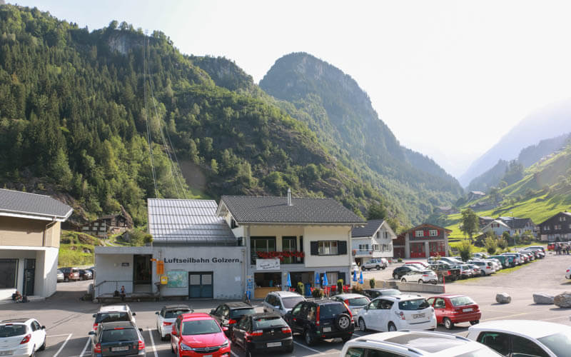
Note: this road leading up from Amsteg to Bristen is a steep, winding one-lane mountain road with occasional passing zones. If your nerves cannot take that drive, you may consider parking in Silenen instead and riding the bus down at the end of your hike.
From Bristen, we took the bus to Amsteg, Post, then bus 1 to Silenen, Dägerlohn. Then a 10 min walk to the Chilcherberg cable car (see on map). We rode up to the trail, hiked over to Golzen, then rode the cable car down to Bristen where our car was parked.
Note that the bus connection only runs every 2 hours, so time your arrival carefully to arrive in plenty of time to catch the bus.
Also, the bus ticket is included in the Rundfahrtbillett “Silener Höhenweg” hiking ticket. So you may want to purchase that ticket in Bristen before riding the bus over to Silenen.
Planning your day
Tickets
You can purchase a combo ticket for this hike, Rundfahrtbillet Silener Höhenweg. This ticket includes the tickets for both cable cars and the bus in between.
The ticket price varies depending on where you start your journey and if you have a Swiss travel card like GA, Half Fare or Swiss Travel Pass.
In 2024, a combo ticket costs CHF 17.80/adult, CHF 8.90/child age 6-15, under 6 free (includes bus from Silenen, Amsteg or Bristen).
You can purchase this combo ticket on the bus or either cable car. We were able to purchase it on the bus. But when we asked about it at the Chilcherberg cable car in Silenen, they were a little confused. If you are starting in Bristen, I’d purchase it there.
Opening Times
The Golzern cable car officially runs only every half-hour from about 6:00 to 20:00, and closed for lunch. But the day we were there, it was so busy that it ran continually on demand.
The Chilcherberg cable car in Silenen runs on demand from 7:00 to 20:00. It carries 4 people at a time.
Sample schedule
Here was our schedule for a day trip from Zurich.
- Leave Zurich at 7:20. Arrive Bristen 8:40.
- Catch bus at 8:58, arrive in Silenen at 9:22.
- Catch the cable car up at 9:45. We had to wait for a few other people to ride up before us.
- Hike to lake (about 2-2.5 hrs), arrive around 12:30.
- Swim and picnic.
- Leave lake at 15:00, hike about 15 mins to Golzen cable car.
- Catch cable car down at 15:30.
- Drive back to Zurich, arrive home 17:00.
Photo story of the trail
1. Riding up the cable car
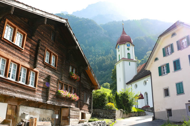
From the Silenen bus stop, it’s a 10 min walk up and through the village to the cable car.

It’s a cute, sleepy village
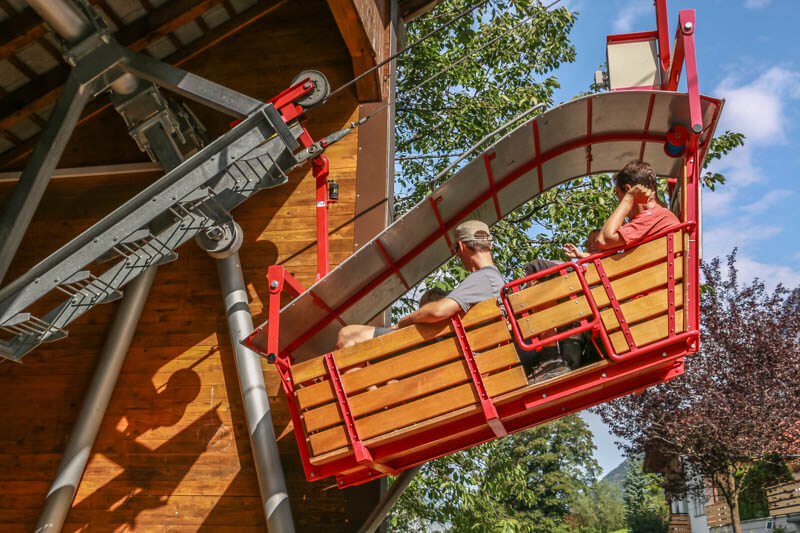
Here’s the open air Silenen-Chilcherberge cable car. I couldn’t believe the cable car when I saw it. The cable car just barely fits four people.

There’s no attendant at the valley station. You just wait your turn, get in, then close and lock the door. Then the car goes up to the top, where you can pay in cash if you don’t already have your hiking round trip ticket.
It’s an exciting ride, but maybe too much if you are afraid of heights.
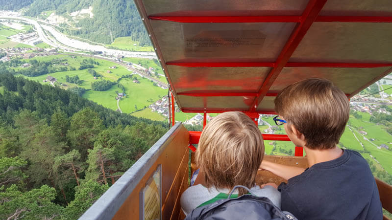
Looking back down to the valley we started in.
2. Starting the trail
From the cable car station, follow the trail to the right, direction Golzeren.
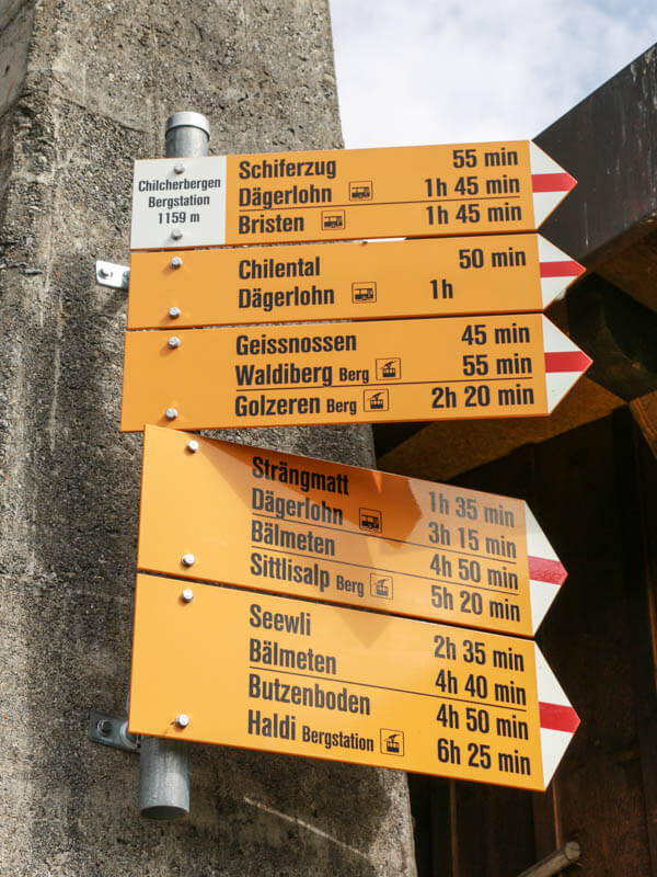
The trail is a narrow footpath.
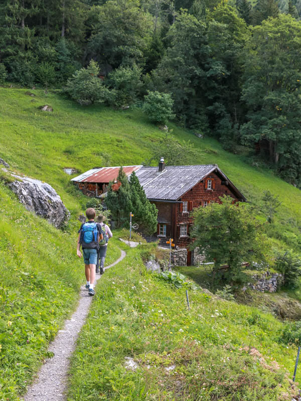
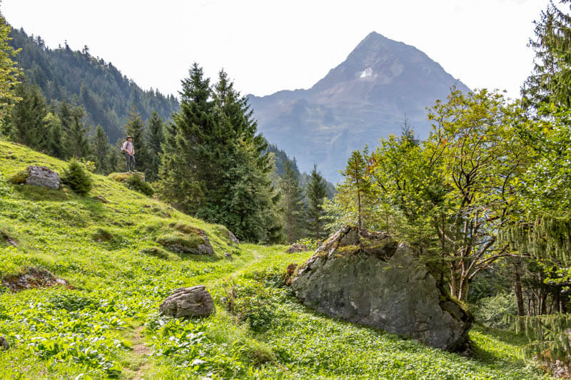
It starts by traversing these alpine meadows.
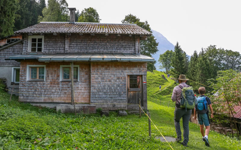
Passing by a few alpine huts.
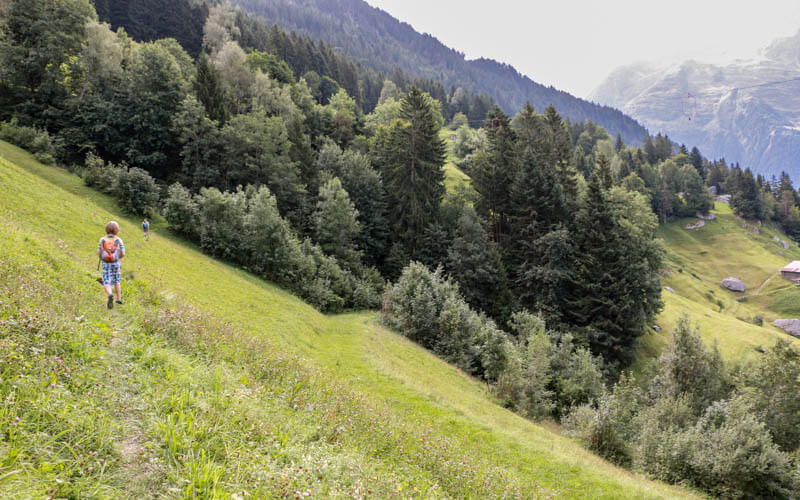
Looking back along the trail.
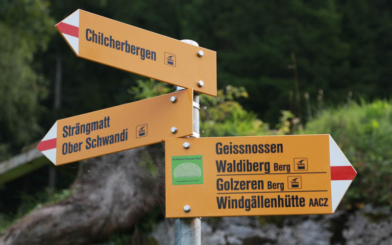
When the trail splits, keep following signs to Golzeren.
Big mountain peaks in view on this section.
3. Across the bridge
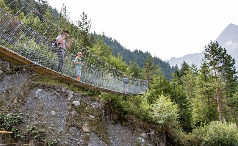
This suspension bridge was a fun surprise. Very bouncy!
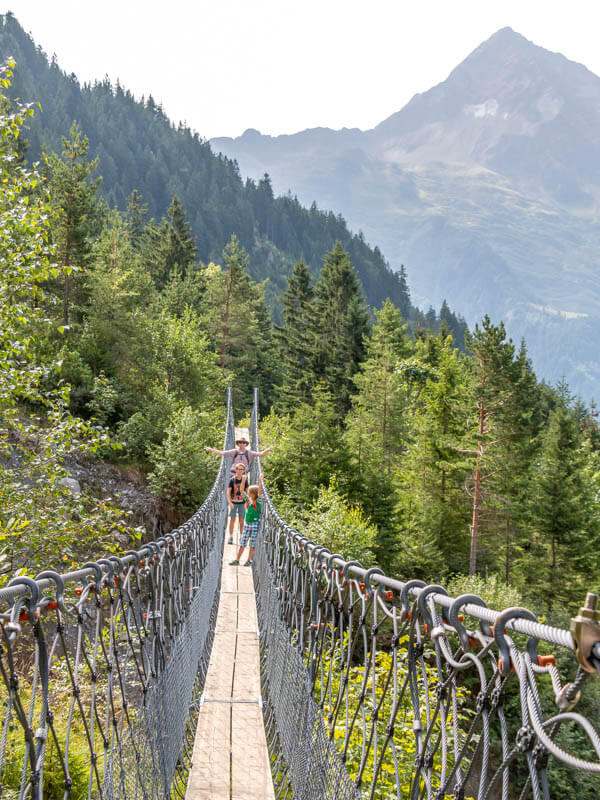
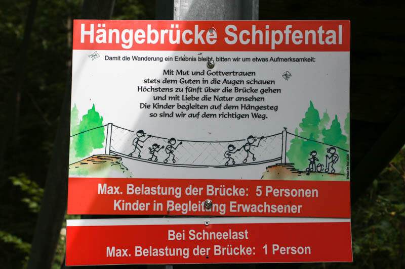
Maximum 5 people at a time on the bridge.
I went below the bridge to snap a few pics.
4. Into the forest
You briefly join a service road, then head into the forest for a long while.

Gaining some elevation here.
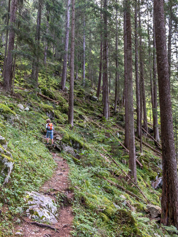
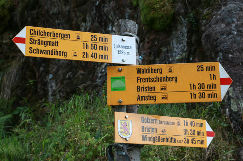
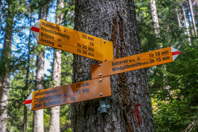
Make sure to check each trail sign to make sure you are going the right way. In most cases, you are taking the fork to the left.
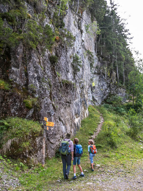
Continue direction Golzern Bergstation.
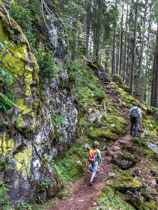
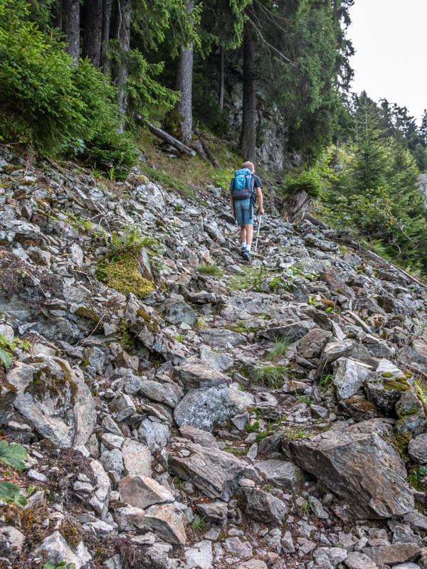
Rocky in some parts.
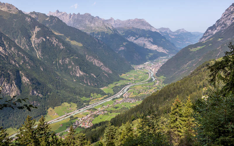
Last look at the valley before we head deeper into the forest.
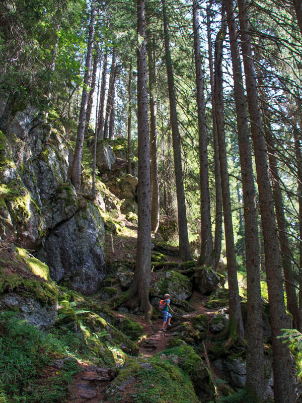
Lots of cool shade and lush moss in this area.
A couple clearing where we could see the mountains
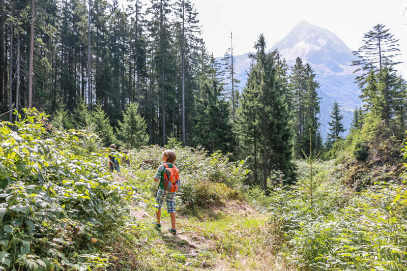
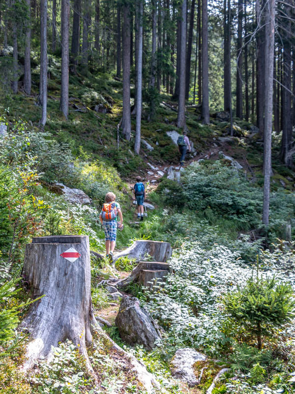
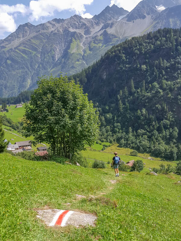
Follow those white/red/white trail markers.
Keep on target: Golzeren Berg.
Such a lovely forest and so cool on a hot day.
4. Exposed sections
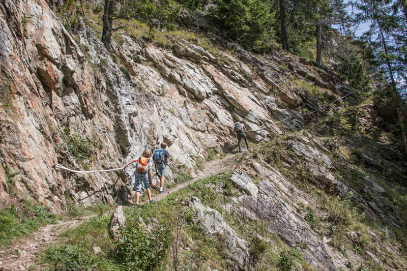
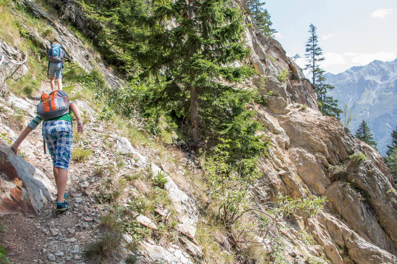
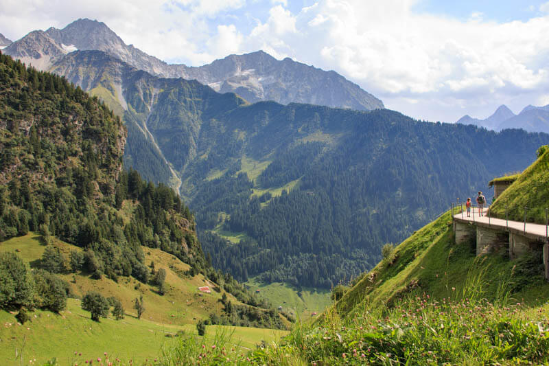
Now the trail gets a bit exposed, with steep slopes to one side and a rope handrail on the other.
Walk carefully here.
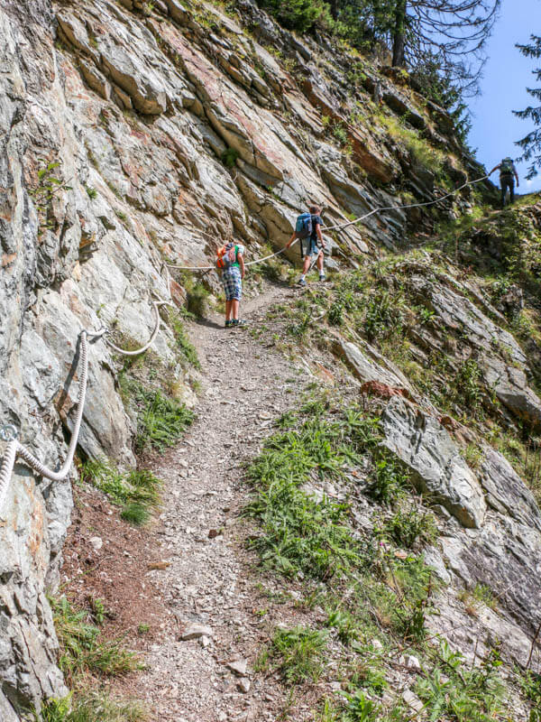
The ground can be slippery with loose rock. Take your time.
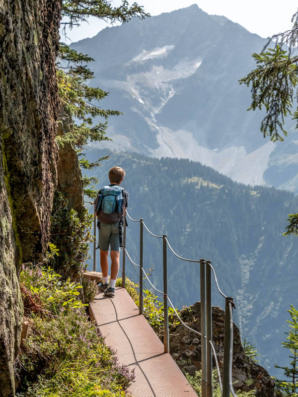
A couple parts have a railing on the steep side, thankful for that.
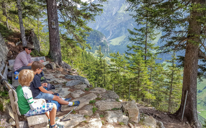
A few benches along the way, nice for a picnic in the shade.
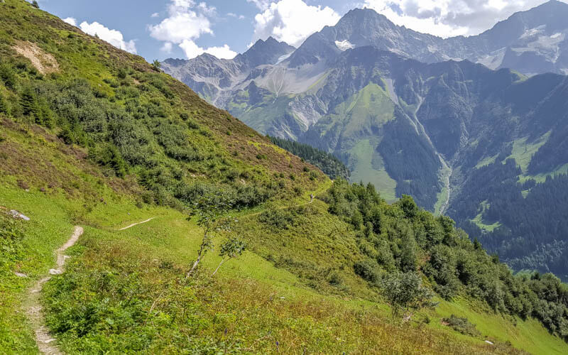
Exiting the forest and wrapping around the mountain.
Looking back on the trail, showing the steep slope to one side.

Now descending towards the alpine village.
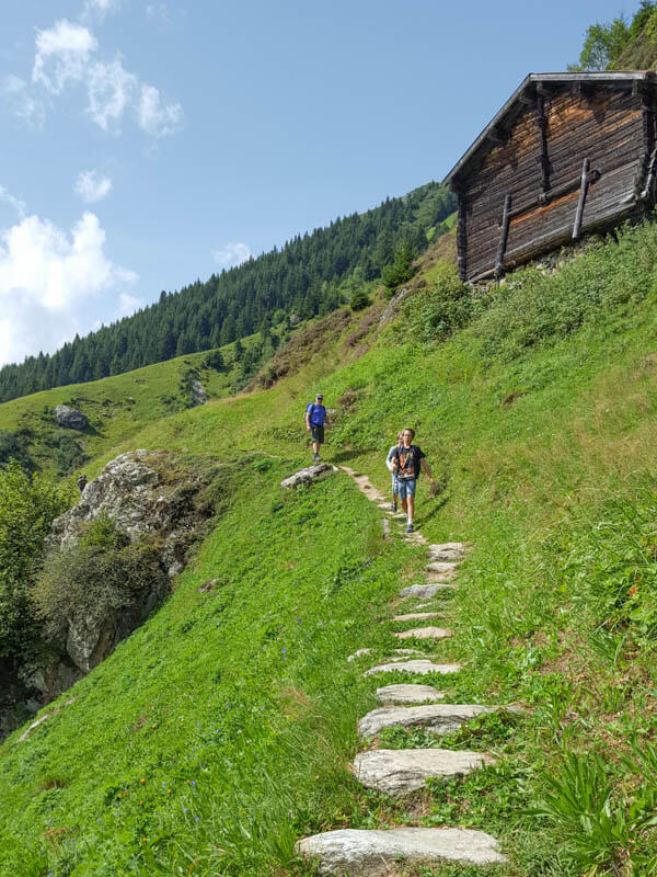
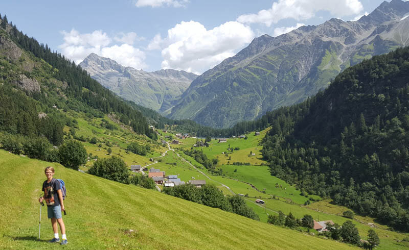
5. Arriving in Golzern
Our destination now in view, the Golzern alpine village.
Final descent.
6. Golzernsee lake
You can walk directly to the cable car. But we chose to keep walking to the lake. Just follow the service road that goes through the village as shown here.

The road turns into a footpath as you approach the lake.

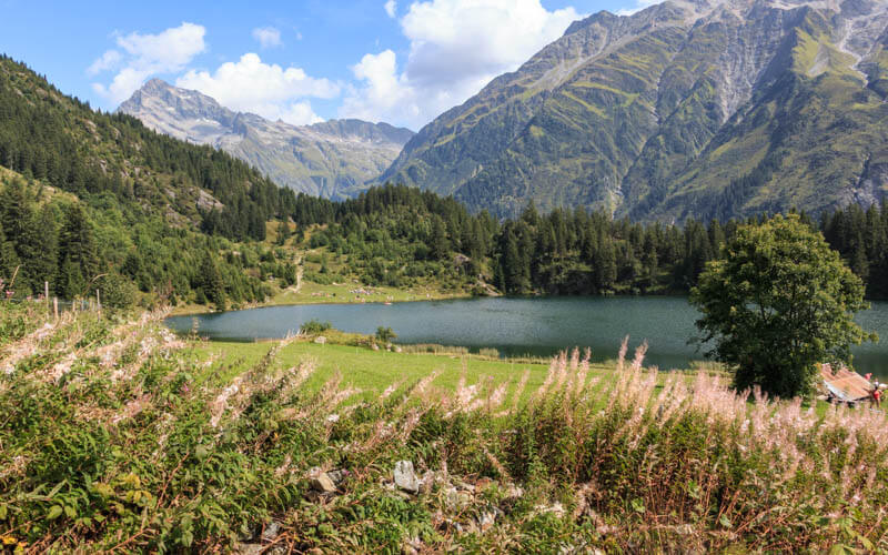
Such an idyllic place!
The path leads to the far side of the lake where there is a large grassy area for lounging and picnics.
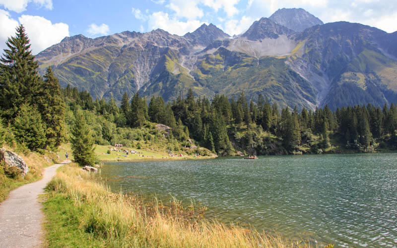
We were so happy to go swimming and cool off after the hike. The water is chilly but nice for swimming.
We walked back through the village to the Golzern-Bristen cable car (about 30 mins) and rode down to our car.
Hope you like this hike!





