This mountain trail is our favorite way to visit the Spilauersee alpine lake, offering many more scenic highlights than the shorter direct route.
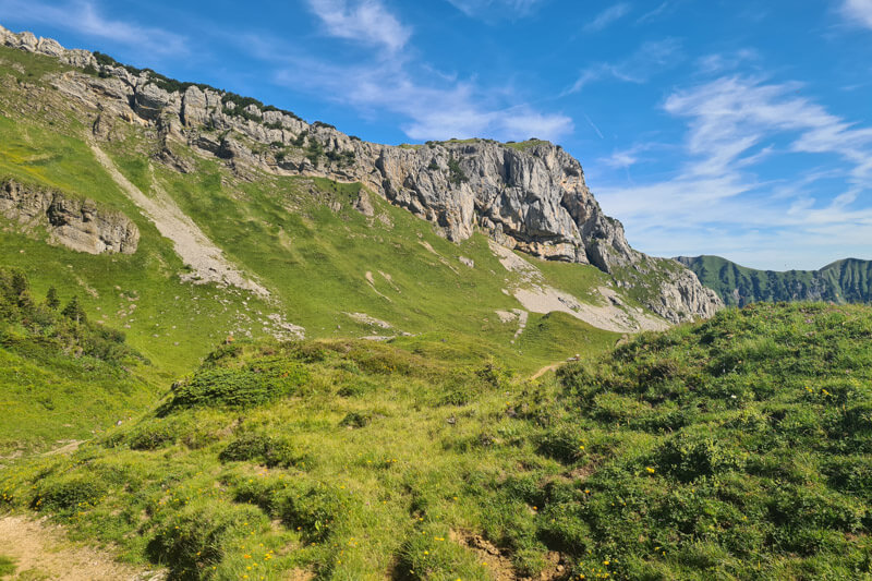
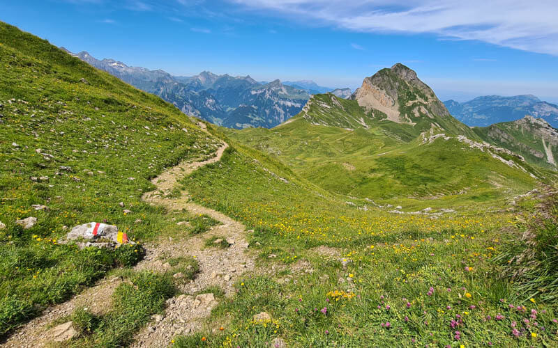
The trail climbs gradually through flower-filled meadows to the Schön Chulm mountain pass, where wide-open views stretch across the surrounding peaks and valleys.
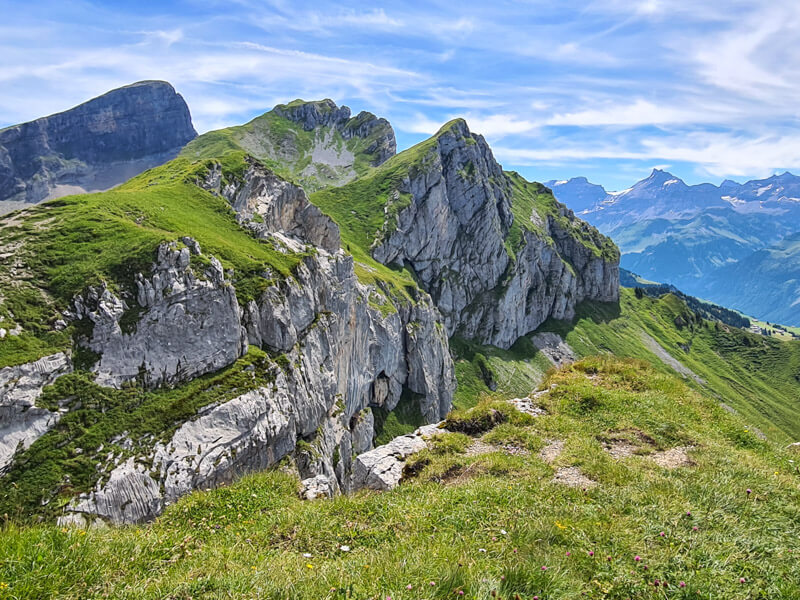
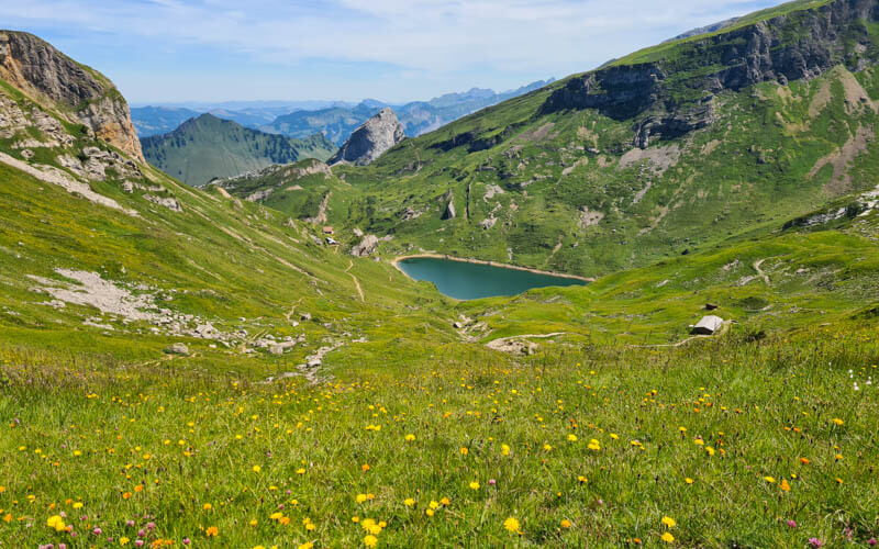
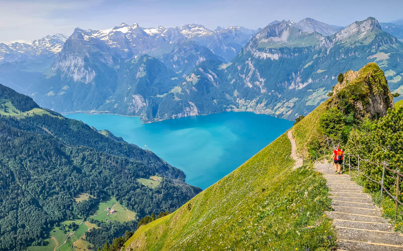
Short detours lead to the Hundstock summit and a spectacular cliff viewpoint, definitely recommended if you have time. Then you descend to the peaceful Spilauersee, an ideal place for a picnic and perhaps a cold dip on a hot summer day.
Along the way, you’ll pass a few alpine dairies, where you can buy locally made cheese and refreshments.
The hike involves a steady ascent and requires stamina, but it is not technical, exposed or very long. It’s a a good choice for older kids and casual hikers ready for a more challenging hike.
Quick info
| Region | Lake Lucerne Region |
| Starting point: | Chäppeliberg-Spilau cable car in Riemenstalden valley / Canton Uri |
| By car: | Metered parking next to the cable car From Luzern 1hr, Zürich 1hr15 |
| By public transport: | Bus stop: Reimenstadlen, Chäppliberg – best to reserved in advance From Luzern 1h30, Zürich 1h33 |
| Trail: | 3h • ⬇️trail map |
| Distance: | 7.2 km loop |
| Difficulty: | moderate • 480m up & down |
| Condition: | red/white mountain trail, rocky dirt path, no strollers |
| Elevation: | 1718m to 2130m |
| Open: | June to October |
| Cost: | Cable car CHF 16/adult, CHF 10/child – cash only! No discounts. |
| Services: | cafe near lake, restaurant at nearby mountain hut |
| More info: | www.spilau.ch • webcam • forecast |
Gallery




Trail overview
The trail is a 7.2 km loop starting at the top of the Chäppliberg-Spilau cable car.

For reference, the Spilauersee lake is 1.4 km from the cable car. The Lidernen mountain hut is 500m from the cable car but not part of the loop trail.
Hiking map
We prefer to hike this counter clockwise, so we can visit the lake and cheese hut around lunch time and closer to the end of the hike.
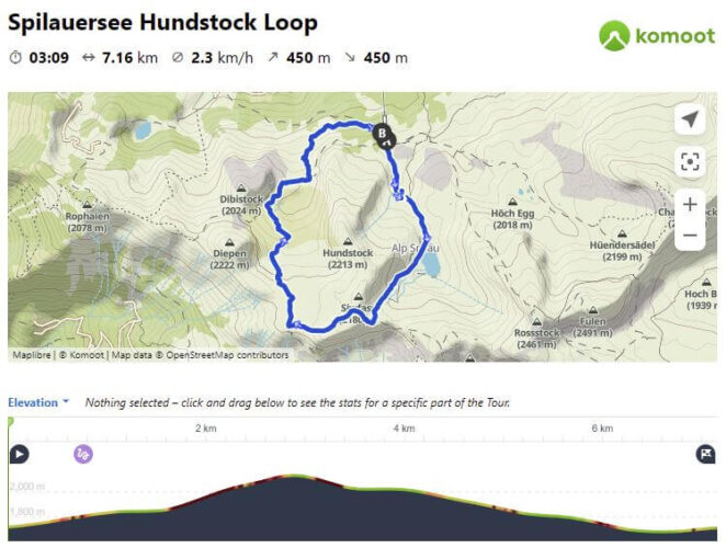
See trail on Komoot • SchweizMobil • OutdoorActive • AllTrails
Shorter option
It’s a relatively easy hike from the cable car to the Spilauer lake, 1.4 km each way, which is a good option with smaller children.
How to get there
This mountain area is located in the Uri canton, southeast of Lucerne.

This trail is reached by the Chäppeliberg-Spilau cable car near the end of the Riemenstalden valley – see location on map.
By car:
Drive to Sisikon, then turn east on Riemenhaldenstrasse, following the winding one lane road for about 15 mins to the cable car (GPS: 46°56’47.7″N 8°41’11.0″E).
There is metered parking on the street next to the cable car station. Don’t forget to pay the meter!

By public transport:
Take a train to Sisikon. Then PostAuto Bus 541 to Reimenstadlen, Chäppliberg
⚠️Since it’s a small bus with limited spots, they recommend making a seat reservation on their website or by phone (+41 817 75 00 Mon-Fri). Must be made by 3pm the day before.
⚠️This bus has a limited schedule, running only a few times a day. The schedule varies by month and day of the week.
In 2026, here are some of the regular departures. Check the schedule very carefully for your specific date of travel.
| Travel direction | Mon-Fri | Weekends |
|---|---|---|
| depart Sisikon train station | 8:00 12:00 15:00/15:45* | 7:45 8:45/9:08* 12:08 |
| depart from cable car station | 6:44 8:35 12:35 15:15/15:35* 16:15/16:35* 17:15, 17:35* | 8:15 9:15/35* 12:35 15:35/15:44* 16:35/16:44* |
* These departure times are different depending on the time of year. Check the schedule for your specific date of travel.
Sample schedule
The hike is about 3 hours, plus about 1 hour for lunch. If you are using the bus, you’ll either have to hike fast and skip lunch. Or spend a lot more time on the mountain, since the afternoon bus doesn’t leave until around 15:35.
For a weekday, I would catch the 8:00 bus from Sisikon, arriving the cable car at 8:23. Plan to catch the 15:15 bus from the cable car station back to Sisikon.
For a weekend, catch the 7:45 bus from Sisikon, arriving at the cable car at 8:08. If you hike fast, you might be able to catch the 12:35 bus back to Sisikon. Or catch the 8:45 bus in Sisikon and catch the 15:35 bus back.
Planning your day
Ticket prices
In 2026, a round trip ticket for the cable car costs CHF 16/adult and CHF 10/child. Large dogs also require a ticket.
Last time I was there, it was cash only. But they might accept Twint now. www.spilau.ch
Operating times
The cable car runs most of the year, but hiking season is usually June thru October.
The cable car has different hours depending on the season. In 2026, the cable car runs July to September 6.00 – 19.00, June & October 7.00 – 16.30.
What to wear and bring
Last time I was there, there were lots of horse flies and tall grass. On a very hot summer day, I wore shorts and regretted it when I started to get so many bug bites.
I would wear hiking shoes with good tread and bring hiking sticks for balance on the steeper parts of the trail.
Bring minimum 1 liter of water per person and snacks. Bring cash for the cable car and honesty shop.
Where to eat
Near the lake, there is Alp Spilau, a small cheese hut with a café and 6 beds for an overnight. See on map. You can pay with cash, card or Twint. They have a toilet.
A 500m walk from the cable car, there is the Lidernen mountain has a restaurant and is a family-friendly hut if you want to stay overnight. See our review of this hut here.
At about the halfway point of the hike near Schön Chulm (see on map), there is a dairy farm which has a self-service cupboard filled with coffee, cake, yogurt, beer, etc. You drop cash in their cash box. I don’t know when they have this available, so don’t count on it. Just a treat if it happens to be there.
There is a picnic area next to the cable car station gondola with tables. No other picnic areas along the trail.
Photo story of trail
Riding the cable car
Here is the Chäppliberg cable car station. The cable car only fits 4 people, so you might need to wait a bit. But they run it continuously if there is demand.

If there is a worker there (usually is in the mornings), you can pay them in cash and they’ll help you into the open-air cable car.
Otherwise, use the telephone to call the upper station so they will operate the cable car remotely (there is also a video camera so they can see you). When the car comes down, simply get in, lock the door and wait for them to start it. There will be a loud signal, indicating that the car is about to start moving. You can pay in cash at the top.
Below is the open air cable car. You can place your backpacks in the little cage outside the car. There are blankets on the seats if you are cold during the ride.

View as you ride the cable car.

Riding up out of the clouds. The mountains on the other side are part of Stoos.

As you ride up, you can see the Lidernenhütte, only about a 500m walk from the cable car station.

Starting the trail counterclockwise
When you exit the cable car station, start by walking towards this first hut.

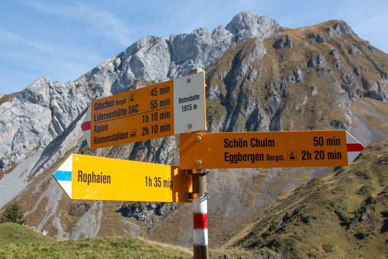
When you see this trail sign, turn left and follow signs towards Rotenbalm. It’s a little confusing at first, so you may need to check your trail map app to make sure you are on the correct trail.

It starts through meadows and forest (we are walking the opposite direction in this photo).
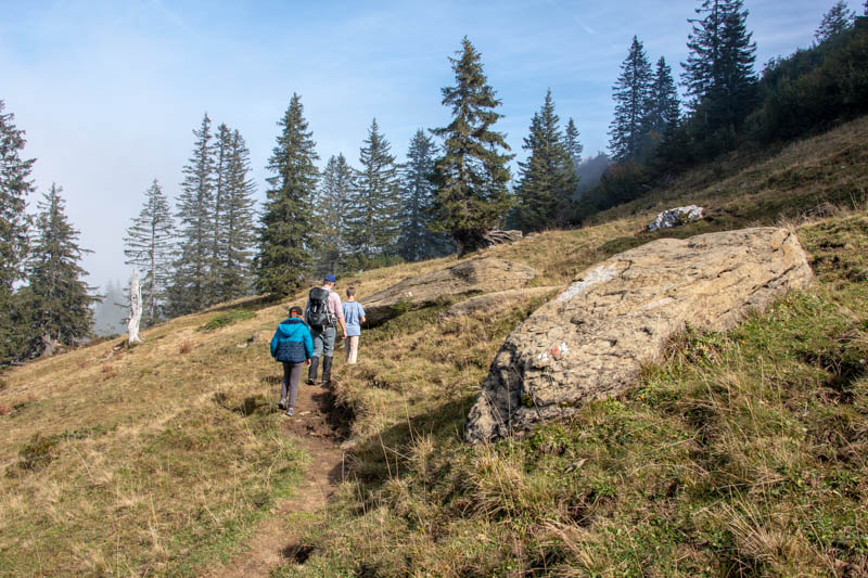
When you emerge from the forest, you’ll have a view of the Stoos ridge across the valley.
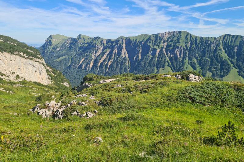
Then the trail wander through lots of boulders, walking on rocks with some tricky footing and a few steep switchbacks.
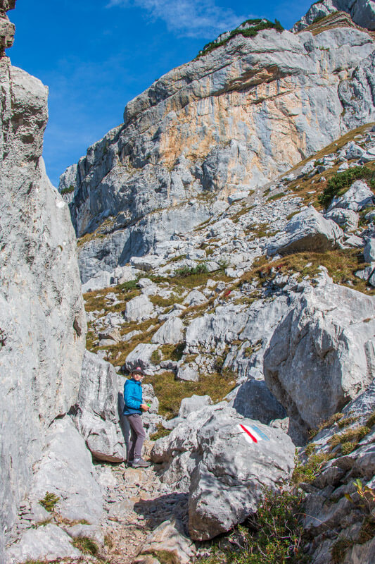
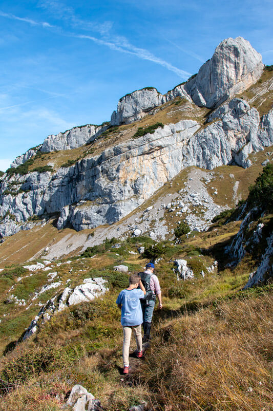
Rotenbalm
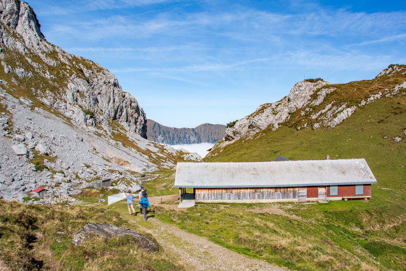
Soon after you leave the rocky section, you arrive at Rotenbalm, which has this alpine dairy barn.
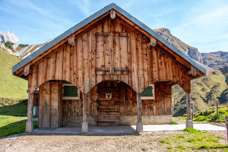
Another view of the Rotenbalm dairy, which is private. There are no services here. Just keep walking.
At Rotenbalm, the trail forks. Follow signs to Schön Chulm.
Hiking up to Schön Chulm pass
Start by following the service road, which will eventually turn into a footpath.

Lots of mountain peaks in view.
Follow the red/white trail markers.
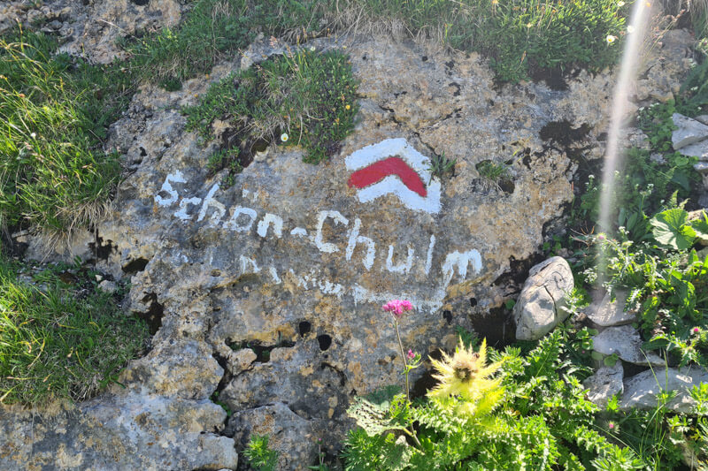
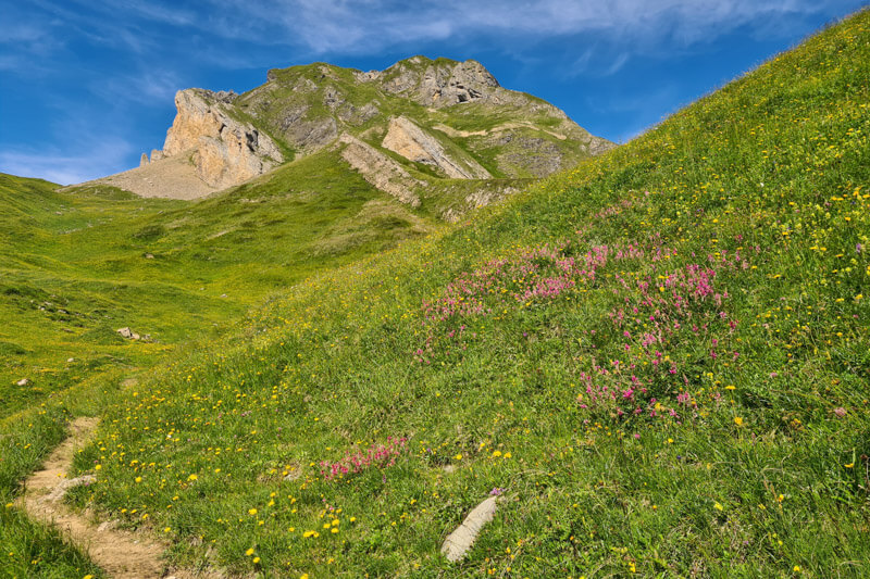
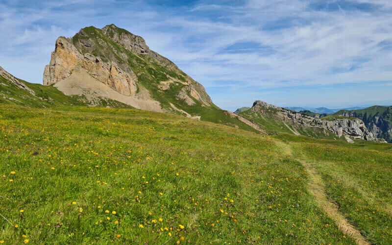
Wandering through meadows.
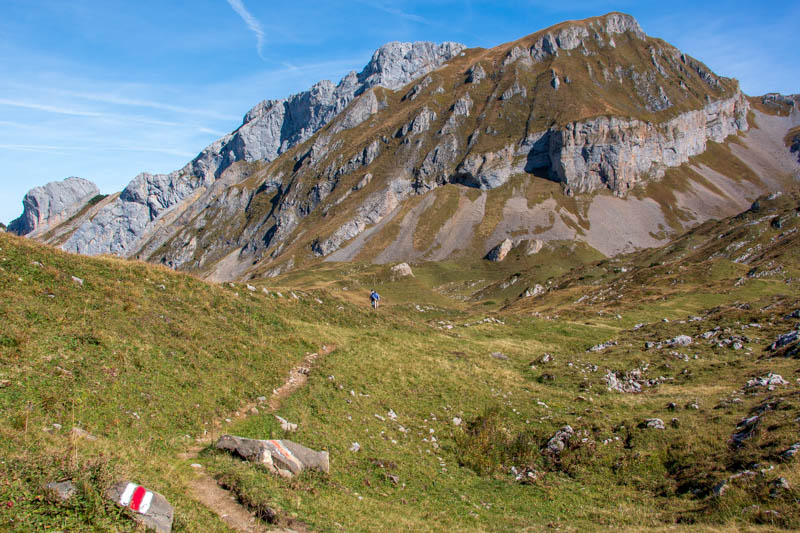
Looking back on the trail in late September.
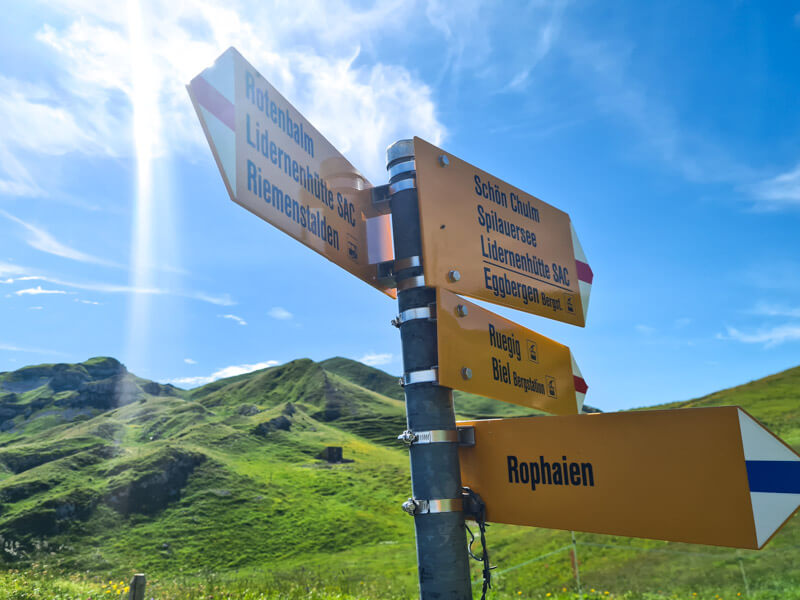
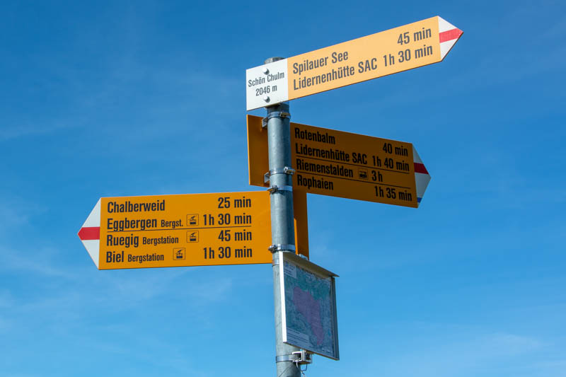
At any trail signs, continue to walk direction “Schön Chulm.”
In summer, you’ll usually see lots of cows. Avoid any mamas and babies!
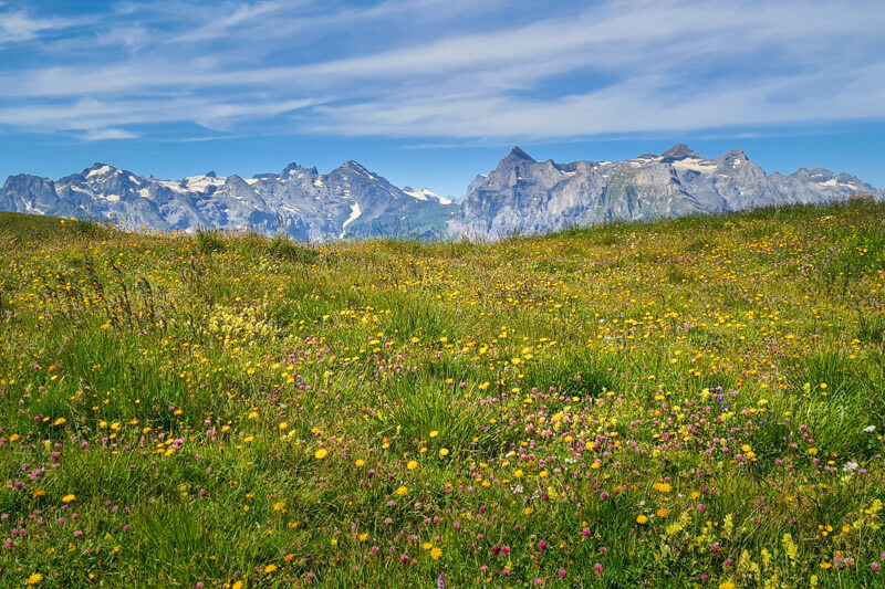
Lots of flowers in July.
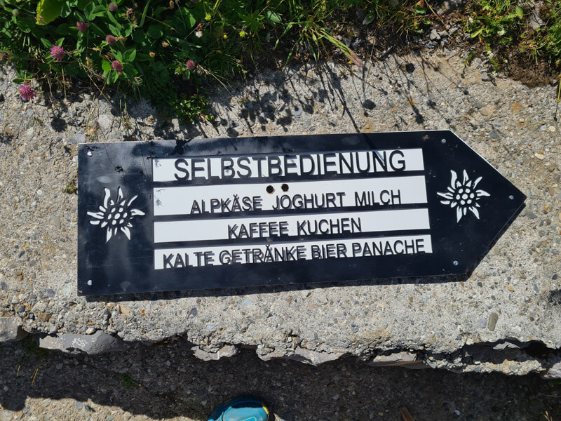
Self-service snacks
Right before you reach the pass, you’ll see a sign pointing you to an alpine dairy with an honesty shop.
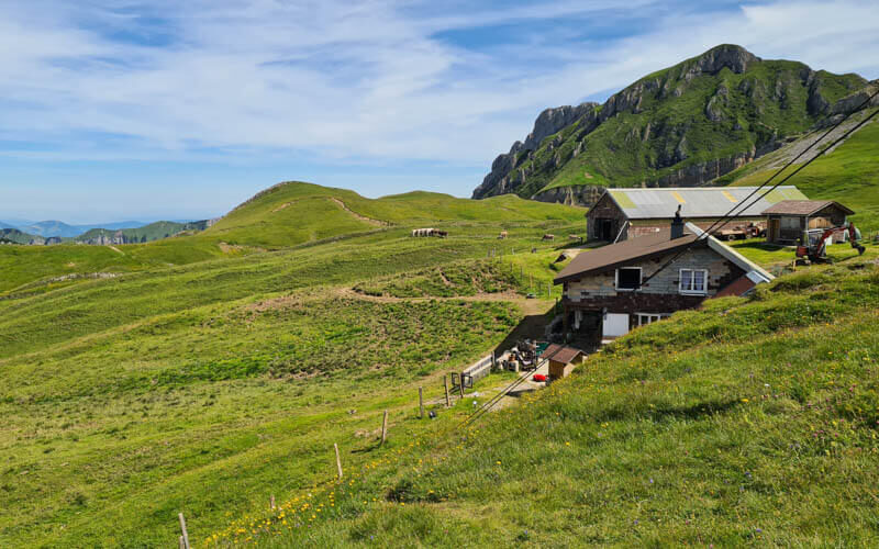
Here is the alpine dairy with the self-service snack shop. They do not have a café or public toilet. Don’t knock on their door.
The self-service refreshments cupboard usually has coffee, tea, beer, yogurt, homemade cake, and snacks. You can drop cash in the “Kasse” box. Coffee was CHF 3.50, cake CHF 2.50, beer CHF 4.50.
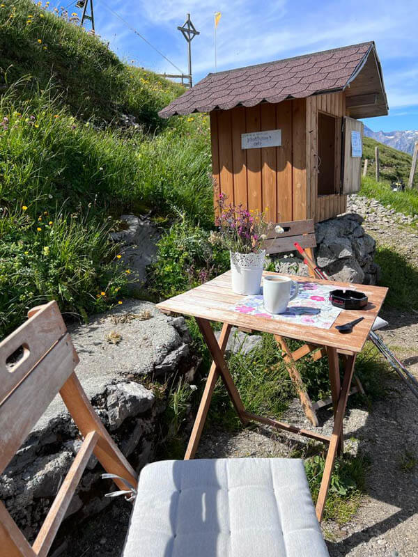
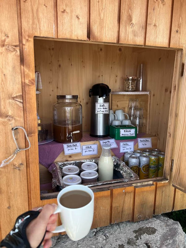
They have a little table and chair where you can enjoy your snack. I don’t when they are open (probably summer alp season from mid June to early September), so no guarantee that there will be food when you visit.
Arriving at the pass
Right above the dairy, you’ll reach the Schön Chulm pass. It took us about 2 hours to get here with breaks. You are halfway done.

View along the pass.
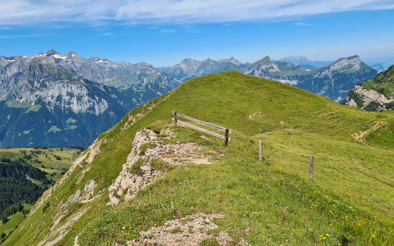
Looking down from the pass towards Eggberge. Some people we met on the trail had climbed up this side of the mountain to get to our trail.
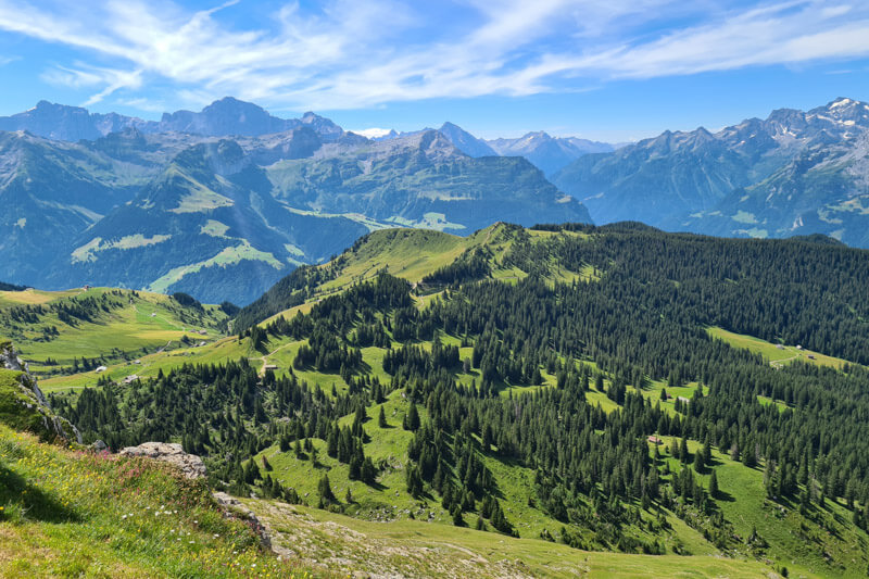
Now follow signs to Spilauer See.
Traverse to next mountain pass
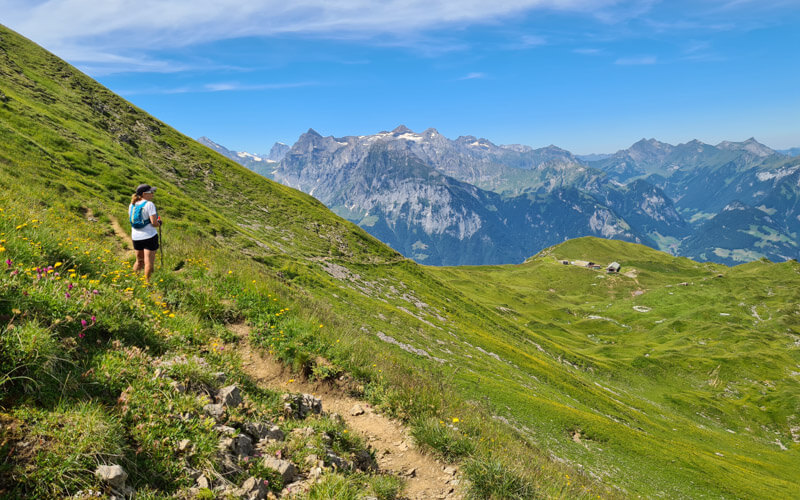
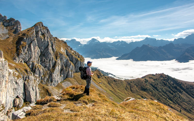
Now head up to the saddle below the Hundstock peak.

This is one of my favorite parts of the trail. The views are just so dramatic here.
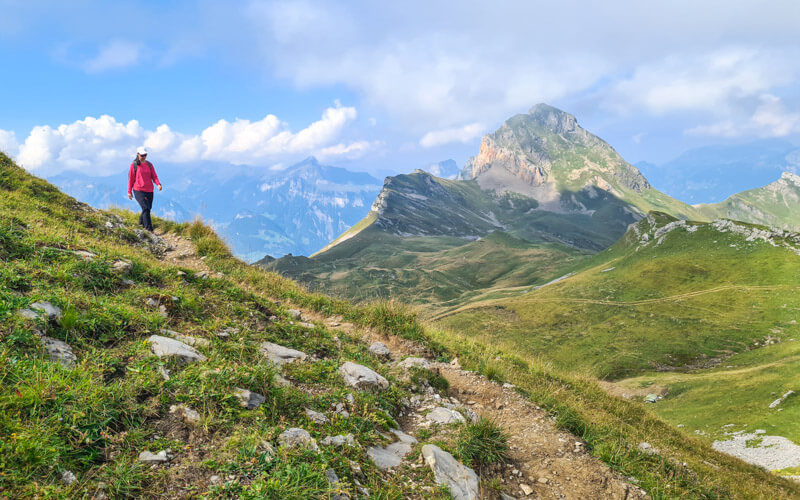

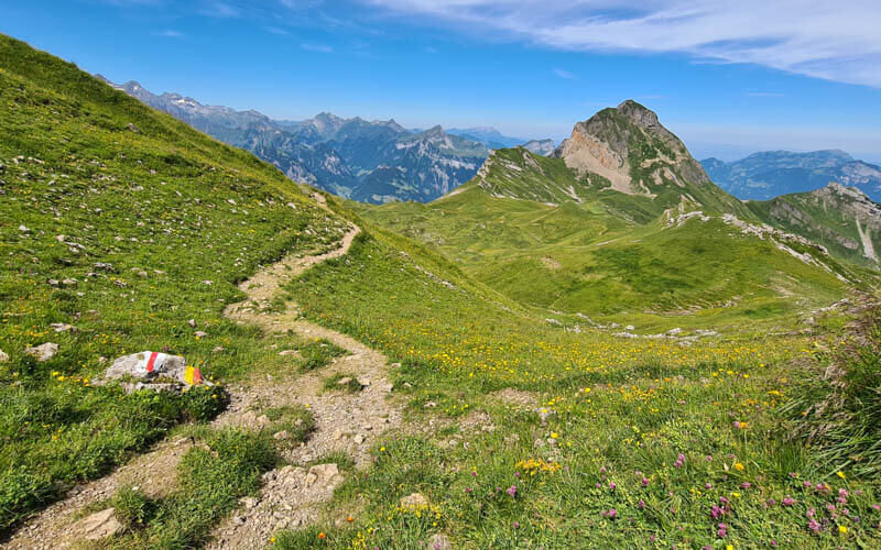
Last look at this side of the mountain before we descend to the lake.
Detour to Hundstock peak
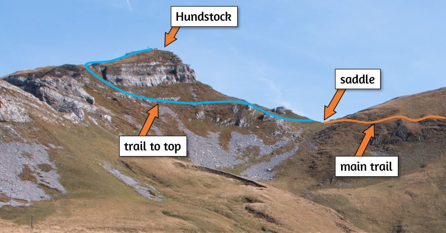
Once you reach the saddle, the main trail forks right and descends to the lake.
You can optionally take a detour to the top of Hundstock peak, shown in blue on my image. It takes about 30 mins round trip, about 1.2 km.
Descend to lake
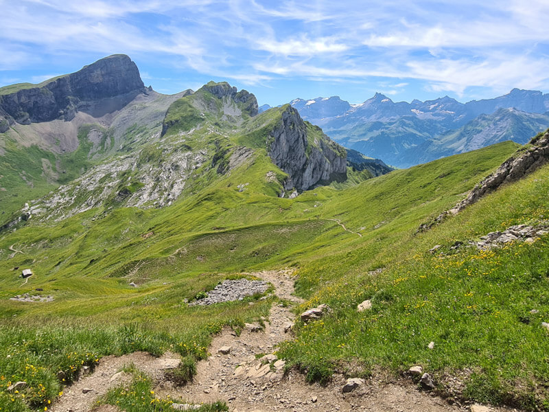
Now it’s all downhill to reach the lake. You wind down the hill shown here on a dirt path with some switchbacks. I found hiking sticks helpful on this part due to loose rock in some parts.
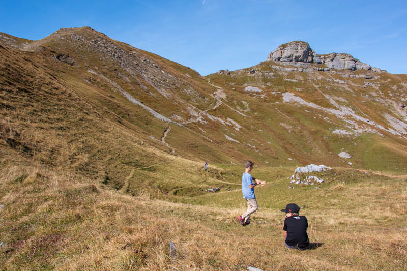
Looking up this trail in late Septemberg.
Detour to cliff viewpoint
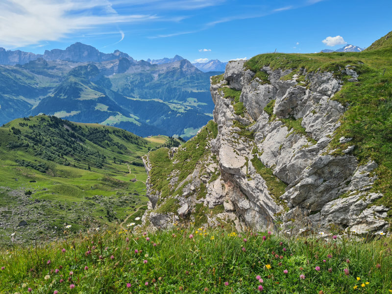
After a few mins descending, you can take a short detour to a cliff viewpoint (just 5 mins). The trail is not marked, but you’ll see a few unofficial footpaths leading to the cliff. See location on map. Proceed carefully so you do not get too close to the edge.
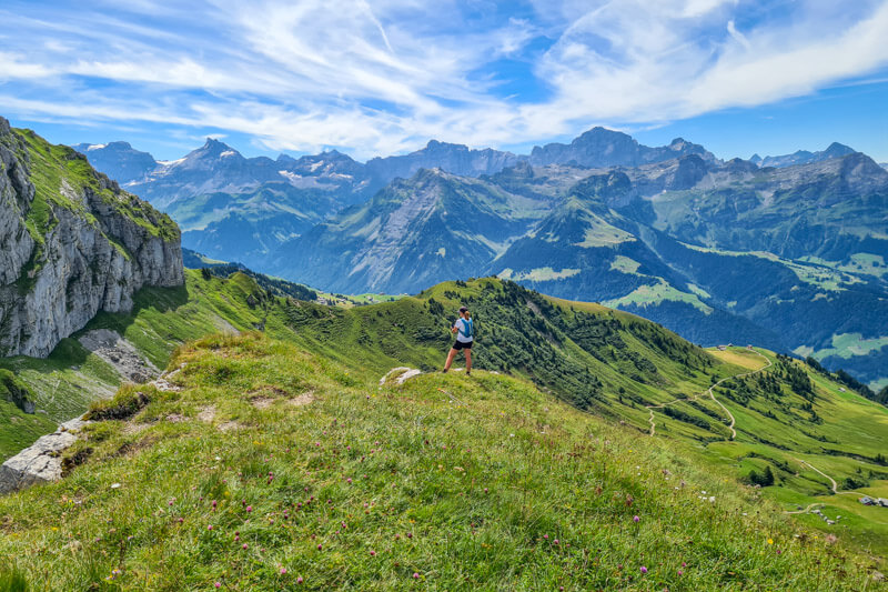
Here’s the view from the cliffs. Be careful and do not get to close to the edge!
That same view in late September.
Looking westward from the viewpoint.
Last descent to lake
Rejoin the trail and follow the footpath down to the lake.

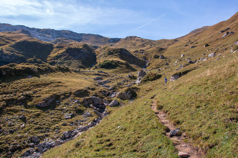
Same trail in late September.
Looking up the trail.
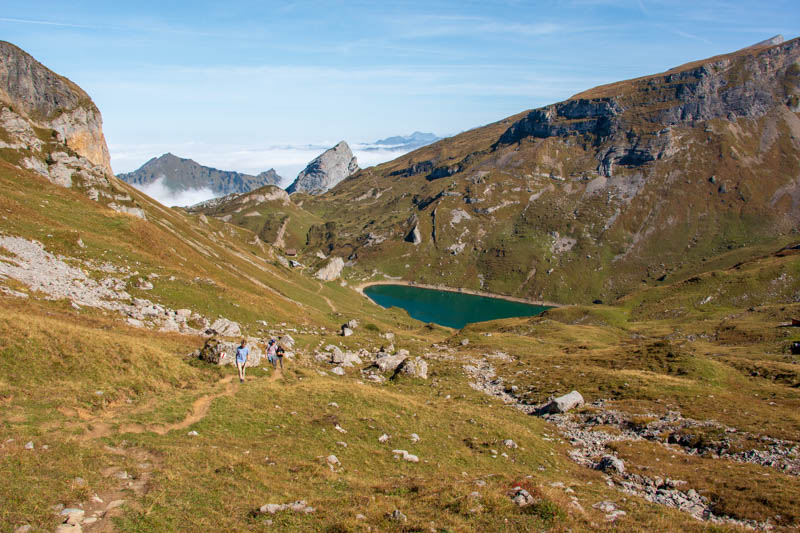
A few mins before you reach the water, the main trail goes directly to the Spilau Alp hut (you can see the hut in the pic on the left). Or you can follow one of the footpaths down to the lake and visit the hut later.

The footpath down to the water is a little less defined as shown here.
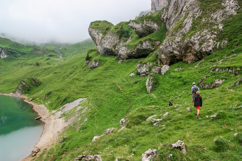
Arriving at the Spilauersee
If you follow the trail down to the water, you can walk along the lakeshore for a bit. But there is not a trail all the way around the lake.

We’ve seen people swimming here but it is very cold. If you go in the water, enter slowly so your body can adjust to the temperature and doesn’t get a shock.

Still pretty on a cloudy day.
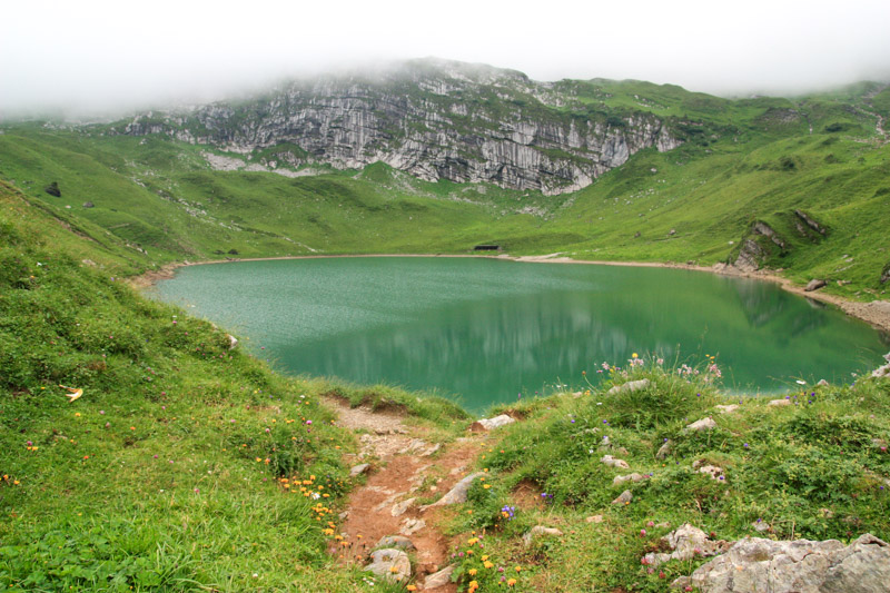
Alp Spilau hut for lunch
From the water, it’s about a 5 min hike up to the Alp Spilau hut, just above the lake, hidden by the big boulders (see location on map). Fyi, they don’t have a view of the lake.
During summer their “Beizli” cafe serve drinks and simple meals, like dried meat and cheese platters and soup. See menu. They aren’t always open, so bring snacks in case you can’t eat there. You can pay with cash or Twint.

With our order, we got to sample their cheese aged for a different amounts of time. You can buy their cheese. They have a large drinks menu, with lots of local fruity Schnaps.


Walking back to the cable car
Now follow signs to Gitschen Bergst,, which is the cable car station.

The trail leading to the cable car.
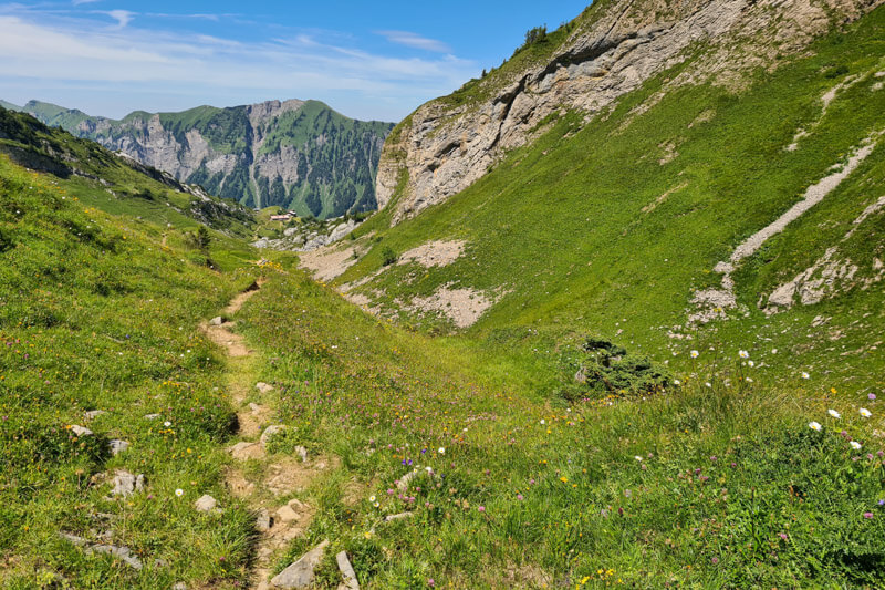
Looking back at the trail.

Along the way, you’ll pass this private hut. Sometimes they have a sign up inviting you to buy their cheese. On our last visit, this sweet lady was so excited to sell us some cheese, weighing it on her old fashioned scale (cash only). Her niece was visiting and helped us communicate when our Swiss German skills weren’t sufficient.
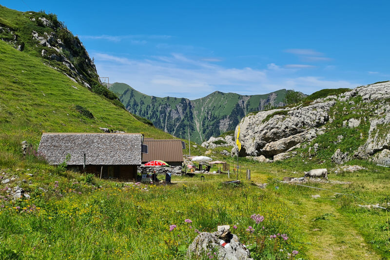

Back at the cable car station, all done. It took us about 4 hours with some breaks. If there is no worker, use the same procedure, calling on the telephone, then loading yourself into the cable car and locking the door.

If you want a proper meal, continue walking over to the Lidernenhütte. Otherwise, buy some of the local cheese here and wait for the cable car.
I hope you like this hike! If you really like this area, considering staying overnight at the Lidernen hut, just a 500m walk from the gondola station. See our post about the Lidernen hut.






7 responses
Best hike of our summer holiday, we loved it and our girls (7 and 8 years old) did too. Thanks!
Wow, your girls are hiking champs! So glad you enjoyed this hike.
Hello, do you know if it is possible to go down by foot or do we have to take the cable car down? Just trying to make the hike a little longer for adults without kids.
Thanks!
There’s a trail on the map leading down to the valley. But I haven’t taken it so I can’t vouch for it. It will be in the forest, so not amazing views I’d guess.
Thank you, as always! Great hike and the area. I would not know it was there if it was not for your blog. Please keep them coming!
You are right about the last part of the hike, not particularly enjoyable. But it is worth the views!
You’re welcome. Glad to know you share the opinion about the last part of the hike. Maybe that’s time to listen to an audio book.
Any idea if the cable car runs in the winter (February)?