This winter trail is a short and easy outing in the mountains. It’s a circular route that winds around the mountain, with panorama views of neighboring peaks like Rigi and Grosser Mythen.
This is a good choice for any non-skier, particularly parents that are waiting for their kids in ski school. It includes walking over the 100m long suspension bridge. After the hike, you can add a little excitement by sledding 3.5 km down the mountain.
| Location: | Canton Schwyz, Central Switzerland |
| Address: | Sattel-Mostelberg cable car: Eumatt, 6417 Sattel |
| Car: | Parking: 47°04’43.4″N 8°38’05.8″E From Zug 30 mins, Lucerne or Zürich 45 mins |
| Transit: | Bus stop: Sattel, Gondelbahn From Lucerne or Zürich 1hr20 |
| Trail: | 5.75 km loop, about 1hr45 walking time |
| Elevation: | highest point 1255m |
| Condition: | marked trail, snow not groomed |
| Skill: | easy (2/5), 140m up/down |
| Open: | Dec through March, assuming snow |
| Services: | restaurant at trail start and half-way point |
| Prices 2023: | Cable car return: Adult CHF 28 Discounts with Swiss travel cards, Free with GA |
| More info: | www.sattel-hochstuckli.ch • webcam & trail status |
Location
This winter hike is located at the Sattel Hochstuckli mountain resort in central Switzerland. See on Google Maps.

Trail overview
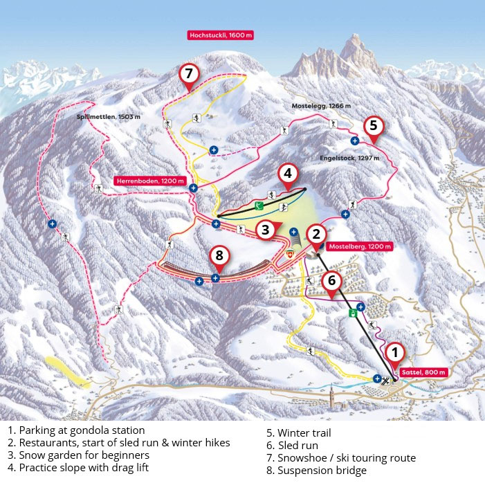
Here’s the Sattel Hochstuckli winter map. The hike starts at the top of the Sattel-Mostelberg cable car (2). At the top, you’ll find the ski resort and a couple restaurants.
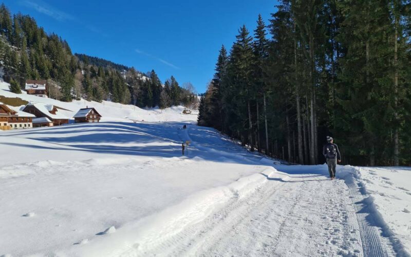
From the top of the Sattel-Mostelberg, this trail starts on the side of the ski piste for a few meters, then heads into the forest on a wide path. After about 20 mins, you break out of the forest and get big views across the valley. The trail continues to wrap around the mountain, dipping in and out of the forest.
At the halfway point, you reach the Blüemlisberg mountain restaurant, where you can stop for refreshments if it’s open. From there, the trail climbs more steeply upwards to the Mostelegg saddle. Then the trail heads down toward the Hochstuckli ski lifts.
Before you reach the ski learning area, the trail forks to your right leading to the suspension bridge (8). After the bridge, it’s a short walk up to the cable car, the end of your hike.
Trail map
Here is the hiking map. This is a loop trail, so you can walk either direction. We always walk counterclockwise.

See trail map on Komoot • SchweizMobil • OutdoorActive
Trail conditions
In winter, this trail is groomed, meaning they occasionally use a machine to rake and flatten the snow so you can walk with hiking shoes, not snowshoes. However, parts of the trail can get icy, especially in the forest. So we recommend bringing hiking sticks and traction cleats if you have them. But most people just walk in regular hiking boots, so don’t worry if you don’t have cleats.
Shorter trail option
If you want a shorter hike, you can do the 2 km Bridge LOOP Trail that starts across the suspension bridge, loops around the valley to the beginners snow garden and back up to the cable car.
Getting there
This hike starts at the top of the Sattel-Mostelberg gondola.
By car: Drive to Sattel and follow signs to the cable car (47°04’43.4″N 8°38’05.8″E). There is a large metered parking lot next to the cable car station. Parking costs CHF 6 for 5 hours. You can pay by cash or card before you leave.
By public transport: The Sattel, Gondelbahn bus stop is directly adjacent to the gondola station. Find your exact connection on SBB.ch.
Cable car ticket prices
To do this trail, you need a round-trip ticket on the gondola. In 2022, a round trip costs CHF 26/19/13 (adult/half-fare & GA/child 6-15). Dogs need a ticket for CHF 5.
If you want to sled down after the hike, you only need a one-way ticket for the gondola. In 2022, a one-way ticket costs CHF 18/13/9 (adult/half-fare & GA/child 6-15). Sled rental is CHF 10 payable in cash at the top gondola station.
You can buy your gondola tickets with cash or card at the valley station. See current prices on Sattel website.
Operating times
In winter the gondola runs from mid December to mid March, depending on snow conditions. The gondola runs daily from 8:30-17:00. On Saturdays, the gondola also runs 18:00 – 22:00 (& 23:00) so you can access the lantern winter walk and restaurants. See current opening hours.
What to wear & bring
For footwear, you should wear waterproof hiking shoes, preferably with good traction. You don’t need snowshoes. If you have traction cleats, bring them just in case parts of the trail are icy. I would suggest hiking sticks for balance.
You should wear warm layers appropriate to the weather forecast and waterproof outer layers to stay dry in the snow. See also What to pack & wear on a winter hike.
It’s a short hike and there are a few restaurants along the way. So you don’t need to bring a lot of supplies. But I would bring 1L of water/person and snacks.
Where to eat
Here are the restaurants in order as you see them on the trail. There are two restaurants next to the cable car: Berggasthaus Mostelberg and Mostler’s Q-Hof. Both are table-service restaurants with indoor/outdoor seating. At the halfway point on the trail, there is the Blüemlisberg goat farm, that serves drinks, desserts and simple meals like soup and a cold cheese/meat plate.
As you walk down from the Mostelegg saddle, there is a sign pointing a short 5 min detour to Skihaus Hochstuckli, a table-service restaurant. Near the long ski lifts, there is Berggasthaus Herrenboden, also a table-service restaurant.
Photo story of the trail
Riding up the gondola. Each pod fits about 10 people.
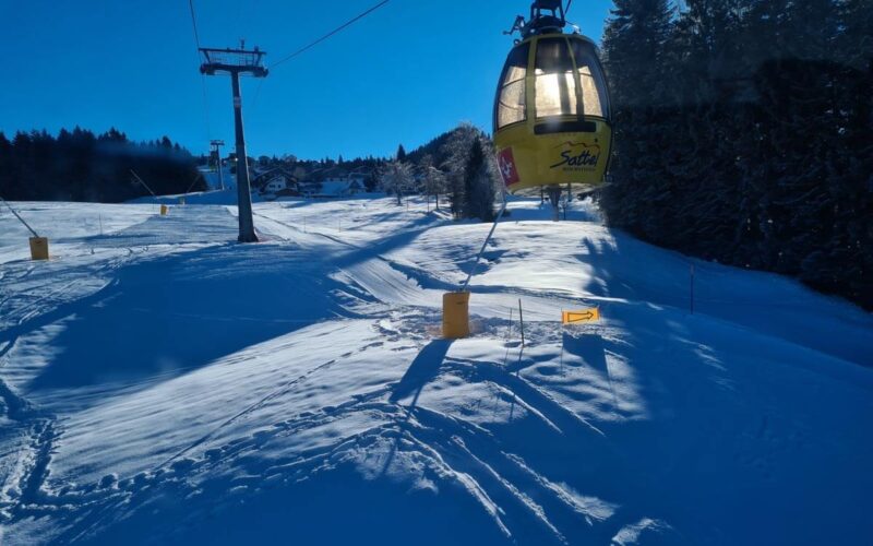
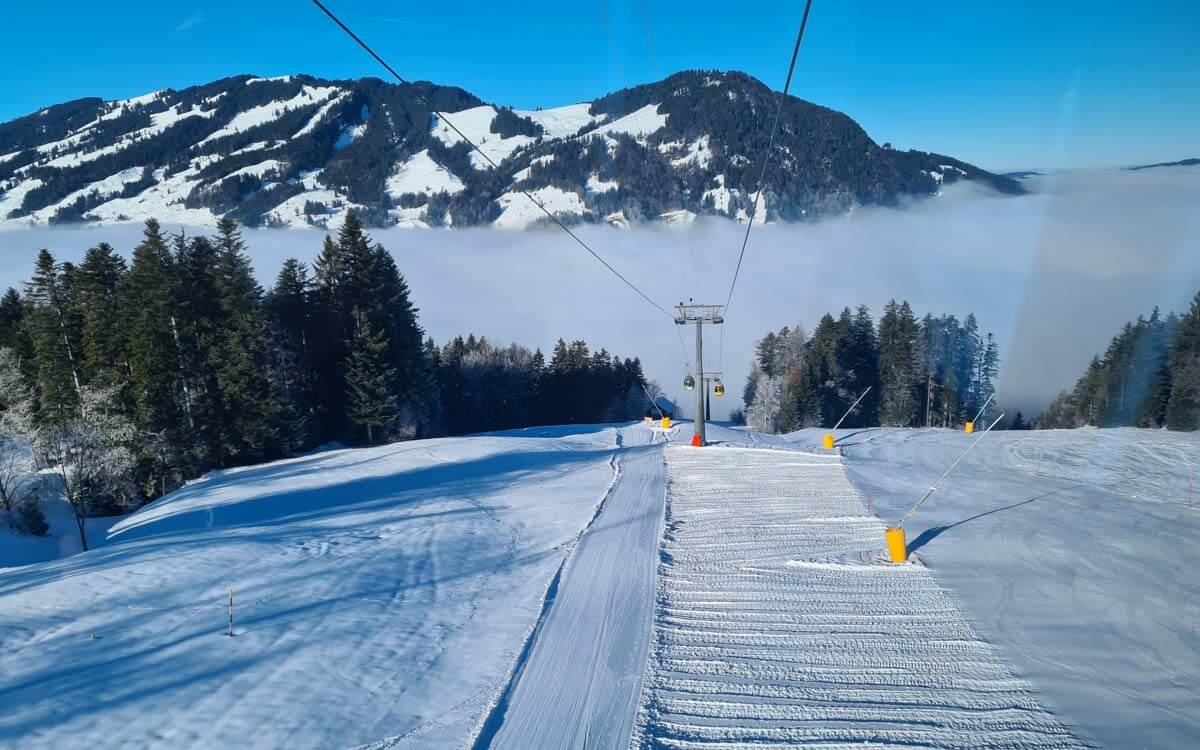
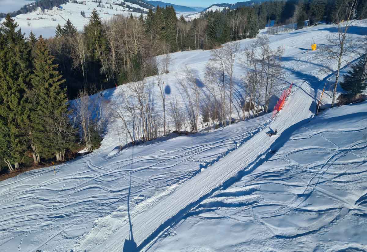
and looking back to the fog in the valley. Below you can see the sled run on the left and the ski slope on the right.
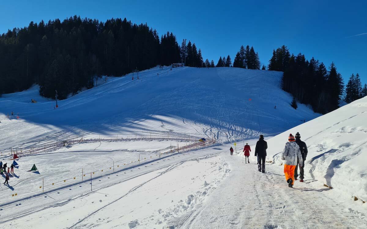
Starting the hike
Starting the winter trail, turning to the right, walking a bit on the ski trail.
Discover top exclusive offers today!
Click here to learn more and take advantage of these limited-time deals.
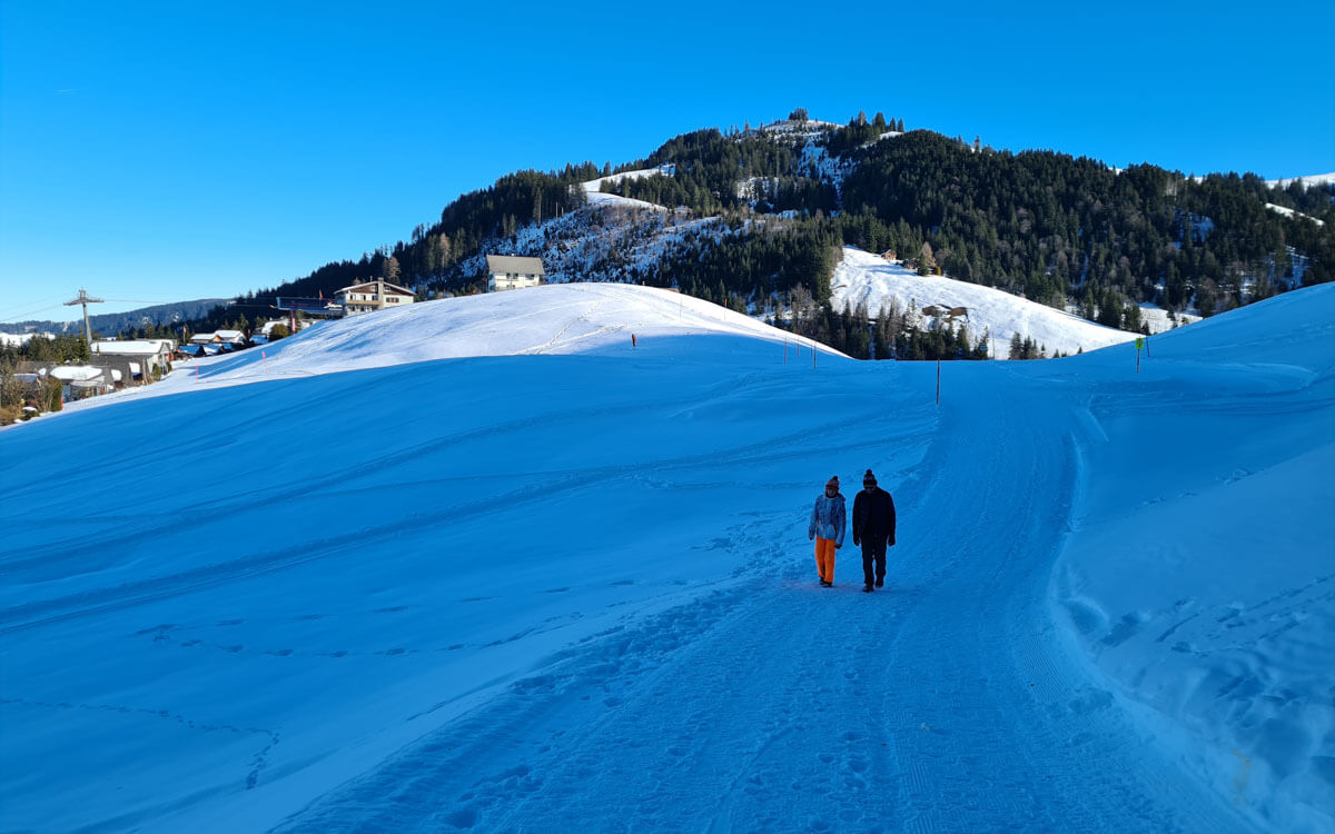
Looking back on the start on the trail. You can see the gondola in the distance on the left.
The first part of the trail starts in the forest. The snow was a bit old and icy in parts. My hiking sticks were helpful but I would have liked to have my traction cleats.
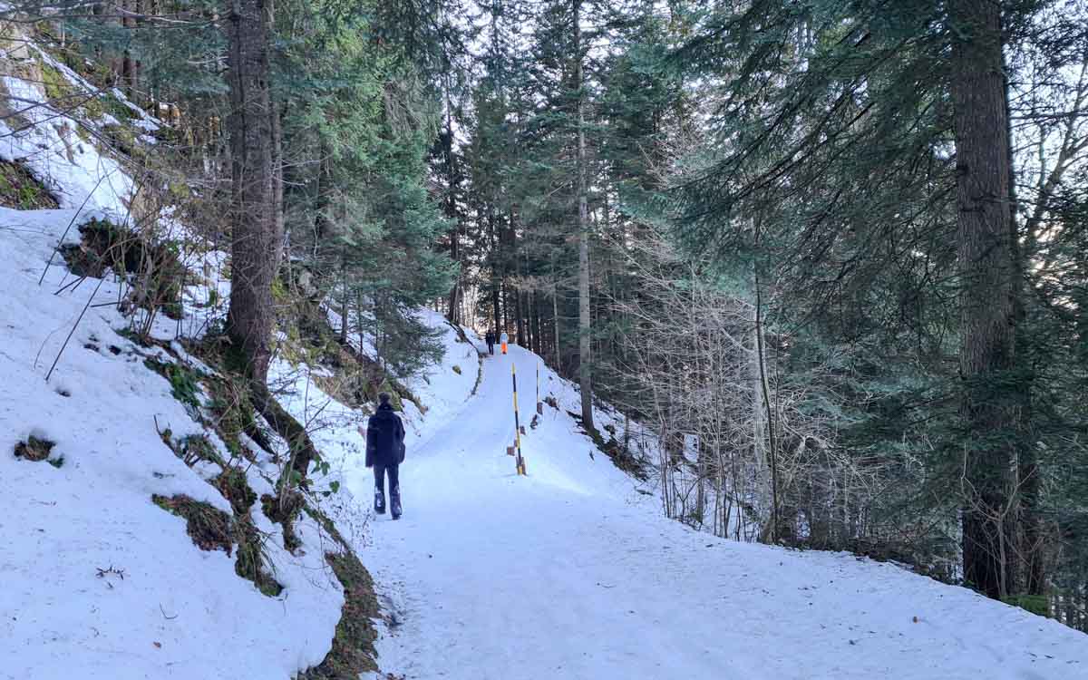
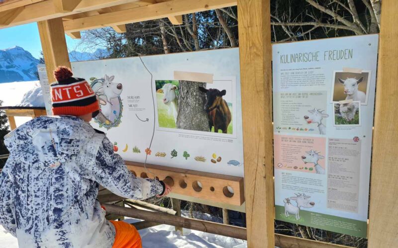
This trail has seven signboards along the way with activities from the Goat Adventure Trail for children. In summer, you get a booklet from the gondola station, which has info about goats, coloring pages and a place to record the answers to the questions at each signboard. The clues and booklet are available in English and German.

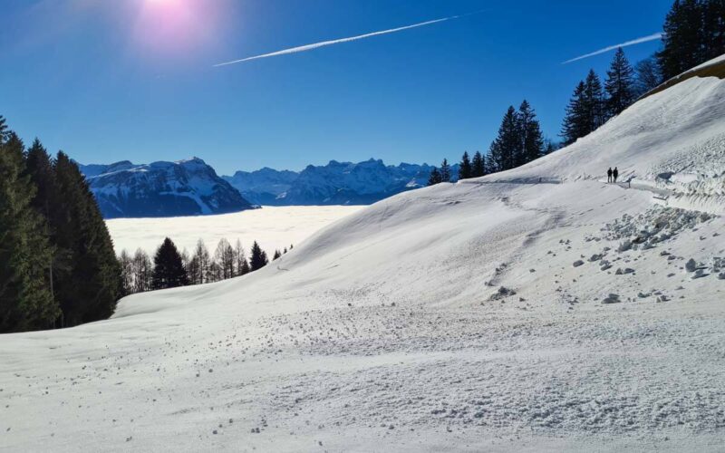
After about 15 mins in the forest, you get your first panorama view across the valley. You are very often above the clouds up here, even though the elevation isn’t super high.
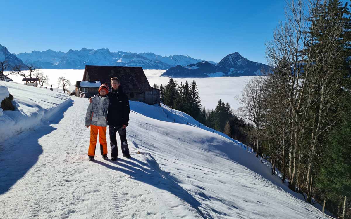
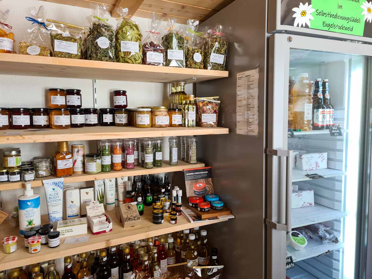
This farm at Engelstockweid has a self-serve honesty shop.
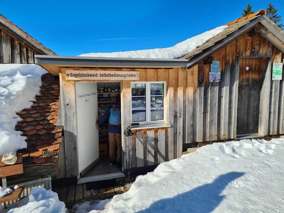
They have lots of products they make on the farm, like honey, jam, cheese, dried meats. You can pay with cash or Twint.
My boys wished they had their sleds on this part, so they could try their luck on the slope to the right. We saw a couple other families sledding here.

After another bit in the forest, you get this view of the impressive Grosser Mythen peak, which I recommend hiking to in summer.

Another activity from the Goat Adventure Trail.
The trail now stays mostly in the sun and winds around the mountain.

One of the best places to take pics.

Looking back on the trail. You can see that earlier that week, there was a mini avalanche and the snow slipped off the side of the mountain, covering the trail. Make sure to check the trail safety conditions before heading out.
Arriving at Blüemlisberg
Almost to the Blüemlisberg goat farm, seen on the left.
During winter, their café is open, serving serve drinks, desserts and simple meals.

After Blüemlisberg, we followed the road up the mountain. In early December, there wasn’t much snow on the road on this part.
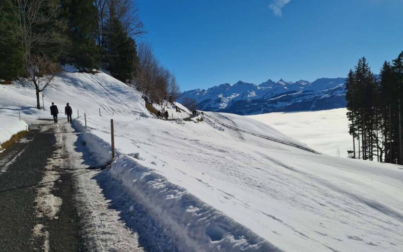
The road is a steady uphill until you reach the Mostelegg saddle, about 20 mins from Blüemlisberg

Downhill back to the gondola
After the saddle, it’s mostly downhill the rest of the way. You walk on a wide snowy path as shown here.
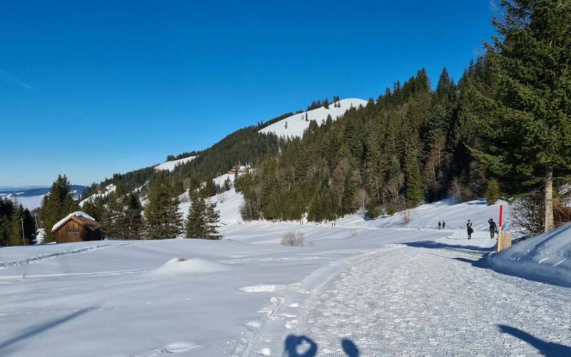
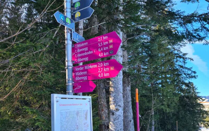
At this fork, stay to your right to continue walking. As noted on the sign, the Skihaus Hochstuckli is a short 5 min walk uphill to your right.

About 20 mins from the saddle, you’ll reach the ski hills. There is a table service restaurant here.

Detour to bridge
From the ski hill, keep following the path towards Mostelberg. If you continue straight, you can walk directly to the gondola station on the path shown here, passing by the beginning ski area.

Or at this sign, turn right towards Biberegg and hike over to the suspension bridge. I suggest this as more fun and not much longer.
After a few minutes walking, you’ll reach the suspension bridge shown here. FYI, you cannot bring a stroller over the bridge in this direction because the bridge is too narrow. Strollers must start from the other side.
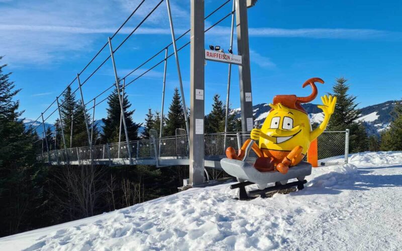
The suspension bridge is 100m long, 100m high and 80cm wide. See more suspension bridges in Switzerland.

Sledding down the mountain
After crossing the suspension bridge, it’s a short walk to the gondola station. You can rent sleds here (CHF 10, cash only) if want to sled down the mountain. Otherwise, you can ride the gondola down.







2 responses
Hi Tanja,
on the map you need to switch nb 5 with nb 6. 🙂 Winter Hike with Sledge run.
Thanks for catching that mistake. I’ll correct it asap!