This winter hike is easy, free and beautiful – a perfect combo for a fun snow outing for non skiers. Just an hour drive from Zürich or Lucerne, this winter hike starts on the pass and meanders along the ridge.
You’ll pass a few mountain restaurants along the way, so budget time to lounge on the sunny terraces and enjoy some refreshments. The snow is groomed on the trail, so you only need regular hiking shoes.
Quick info
| Region | Mythen Region, Central Switzerland |
| Starting point: | Ibergeregg pass |
| By car: | Metered parking (47°01’02.9″N 8°44’00.2″E) about 1hr from Zürich |
| By public transport: | bus stop: Ibergeregg, Passhöhe from Zürich or Luzern 1h45 or use the Rotenfluebahn gondola – Rickenbach SZ, Rotenfluebahn bus stop |
| Trail: | 2h • ⬇️trail map |
| Distance: | 7.2 km loop (shorter option below) |
| Difficulty: | moderate • 230m up & down |
| Condition: | groomed snow |
| Elevation: | 1410m to 1550m |
| Open: | Dec to March, assuming snow |
| Cost: | free |
| Services: | restaurants along the trail |
| More info: | www.ibergeregg.ch • webcam |
Ibergeregg overview
Ibergeregg is located in the mountains in central Switzerland, west of Lucerne and south of Zürich. It is accessed by narrow winding mountain road from either side of the pass.
This road is regularly cleared of snow, but check the Ibergeregg website for any alerts about traffic conditions. There is a bus service in summer, but not winter.
Here’s the winter map for Ibergeregg, just showing the winter walking trails. See an interactive map on the Mythen Region website.

Trail map
This trail map shows the winter trail starting at Ibergeregg leading to the Alp Zwäcken hut. Then up to the Rotenflue cable car and looking back to your starting point. I suggest hiking this counterclockwise, so the uphill climb is in the forest.
See trail map on Komoot • SchweizMobil
Shorter: Walk to the Alpwirtschaft Zwäcken (see on map) hut, then turn around and walk back. This version is about 3.5 km round trip.
More winter hikes in this area
At Ibergeregg, there are three “official” winter hiking routes. All routes are well marked with pink trail signs and painted poles on the sides of the trail.
- 564 – Ibergegg Rundweg – 4 km loop, 200m up/down. Starts from the Ibergeregg pass and loops down the mountain and back up.
- 561 – St Karl Ibergeregg Rundweg – 6 km loop, 340m up/down. Starts from the Ibergeregg pass and loops over to St Karl (accessible with the Illgau cable car).
- 562 – Rotenflue Rundweg – 2km loop, 35 mins, 80m up/down. You can hike over to the Rotenflue from Ibergeregg. But if you want to do just this loop, you would ride the Rotenflue gondola instead of driving to Ibergeregg.
How to get there
By car
The trail starts at the top of the Ibergeregg pass (47°01’02.9″N 8°44’00.2″E). There is a narrow winding mountain road on either side of the pass. I find the eastern approach a bit easier to drive. But just take whichever way is closer to you.
This road is regularly cleared of snow, but check the Ibergeregg website for any alerts about traffic conditions. Unfortunately, the bus does not run in winter.
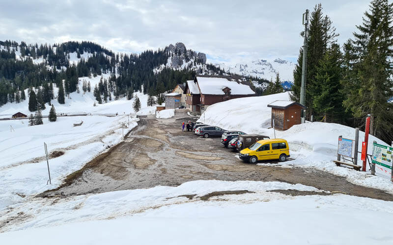
At the pass, there is lots of metered parking as shown here. Don’t forget to pay the parking fee. You can pay with the parking apps and Twint. Since there is a small ski hill here, the parking can fill up very quickly on weekends. There is a second parking lot slightly down the hill on the west side (see on map).
By public transport
The bus now runs to the Ibergeregg pass in winter. Bus stop: Ibergeregg, Passhöhe. It only runs a few times a day. Check schedule here.
Or you could instead ride the bus to the Rotenflue gondola – Rickenbach SZ, Rotenfluebahn bus stop, directly at the gondola station. In this case, you would start the trail at the far side of the loop instead of at Ibergeregg.
Planning your day
Costs
If you drive or take the bus to Ibergeregg, your only cost is parking fees or bus fare.
If you ride the Rotenflue gondola, you’ll need a return ticket. In 2024, it costs CHF 42/adult, CHF 16/child and SBB Half-fare. Free with GA and Junior Travelcard. See current prices.
Services
There are a few restaurants along the way, in order as you’ll pass them along the trail:
- Sonnenhütte (see on map)
- Alpwirtschaft Zwäcken (see on map)
- Skihaus Holzegg (see on map)
- Berggasthaus Holzegg (see on map).
If you detour up to Rotenflue, there is a restaurant up there as well.
What to wear & bring
You should dress warmly with layers and waterproof outer clothing. I would suggest wearing waterproof ankle hiking boots to keep out the snow and wetness. If conditions are icy, you may like to bring traction cleats and hiking sticks just in case.
Photo story of the trail
At the start of the trail near the parking, you’ll see this sign listing the restaurants along the trail. The green light indicates they are open, red means closed.

This map shows the winter trails in pink. We are starting at Ibergeregg, hiking to Zwäcken, then up to Rotenfluh and back.

The trail starts quite easy and flat as shown here.

After just a few minutes, you reach the Sonnenhütte restaurant. This one is popular, so you might want a reservation if you want to eat at a specific time.

The Sonnenhütte has a playground, also possible in winter.

You don’t have to walk far to get great views.
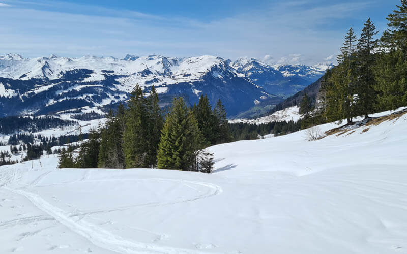
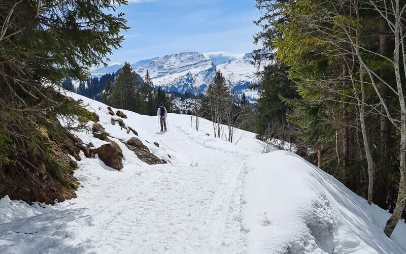
This first part of the path is very easy walking.

There’s a short part where you have to cross the ski piste. The sign is warning you not to cross when the light is blinking because grooming machines are on the piste and its dangerous to cross.

After about 20-30 mins, you arrive at the Alpwirtschaft Zwäcken hut, serving food and drinks during ski season. I like to stop here for lunch or at least coffee and cake.

After the hut, just keep walking straight towards the hill in front of you.

Fork left to reach RotenflueAfter a short bit in the forest, the trail splits as shown here. We prefer to do this loop counterclockwise, taking the right path now. That means will we do the uphill climb in the forest and downhill in the sun. But you can do the other direction if you like.

The path straight towards the peak ahead.
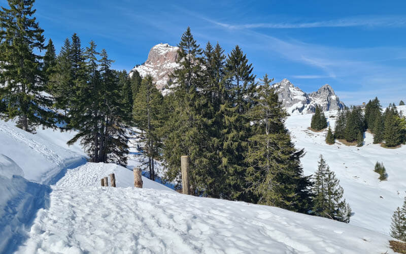
The path takes you to the forest, then you turn left and hike up through the forest.

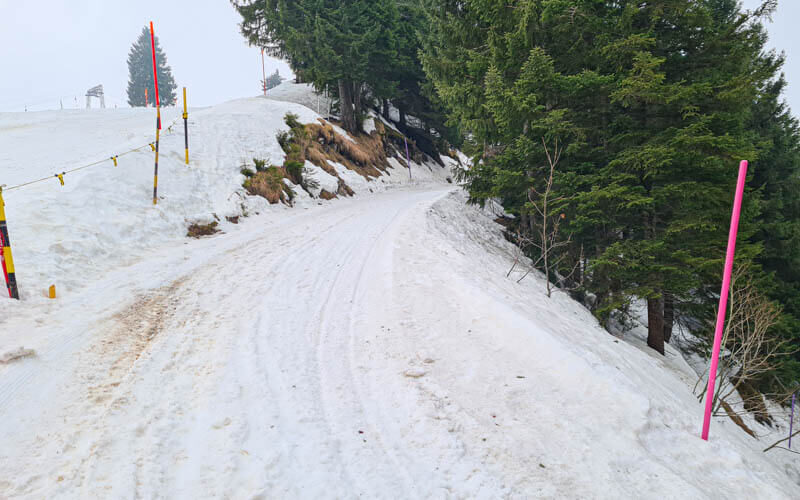
This part of the trail is on the sledding path, so you need to watch out for oncoming traffic. However, all the times we’ve been on this trail, the sledding path wasn’t open.
Don't miss out on today's trending deals!
Join thousands of users enjoying exclusive benefits right now.

After a couple minutes, you’ll see a short detour leading out to this viewpoint. I suggest checking it out.

Here’s the view of Lake Lucerne from that little viewpoint.

Then get back on the trail and continue uphill on that path shared with the sledders. This part is not amazing. It’s quite steep in parts and can be icy. So be very careful choosing your steps and use your sticks if you have them.
Views of the Grosser Mythen peak as you exit the forest. Absolutely gorgeous!!! You can hike that peak in summer.

Arriving at Rotenflue, highest point of loop
The uphill climb leads to the top of the Roftenflue cable car. If you rode the cable car up instead of starting at the pass, you will start your hike here.

There is a restaurant here with the best views of the trail.

There is a small playground here and you can often swing even in winter.

There is a short magic carpet for beginners. When we were there in mid March, kids were using this for sledding.
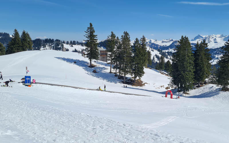
Walking back
Follow the trail past the restaurant, continuing the loop.
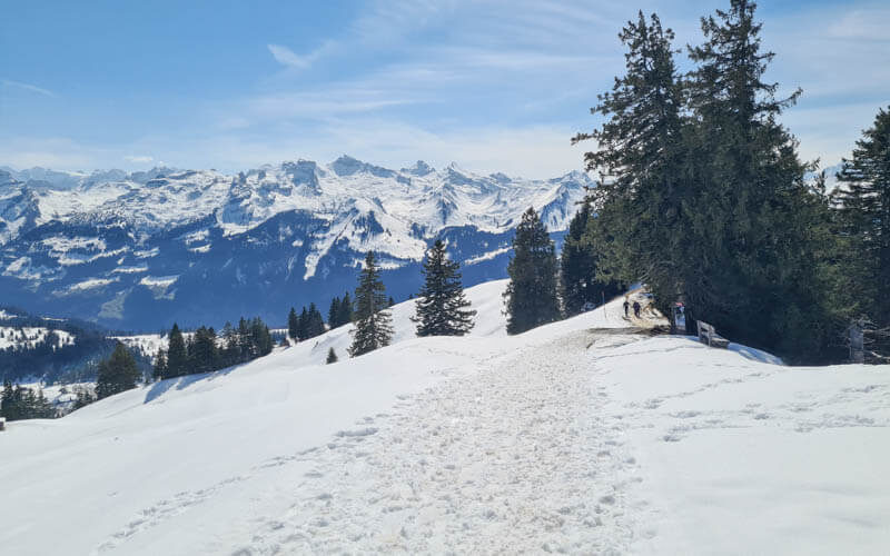
The best bench on the trail in my opinion.

The trail descends here to Berggasthaus Rotenfluh. It’s usually open on weekends, but it was closed in mid March.

Lots of paragliders start their flights here. It was fun to watch them take off.

The trail loops past a couple of the ski lifts. These were already closed when we were there in mid March.

Just keep following those pink poles.
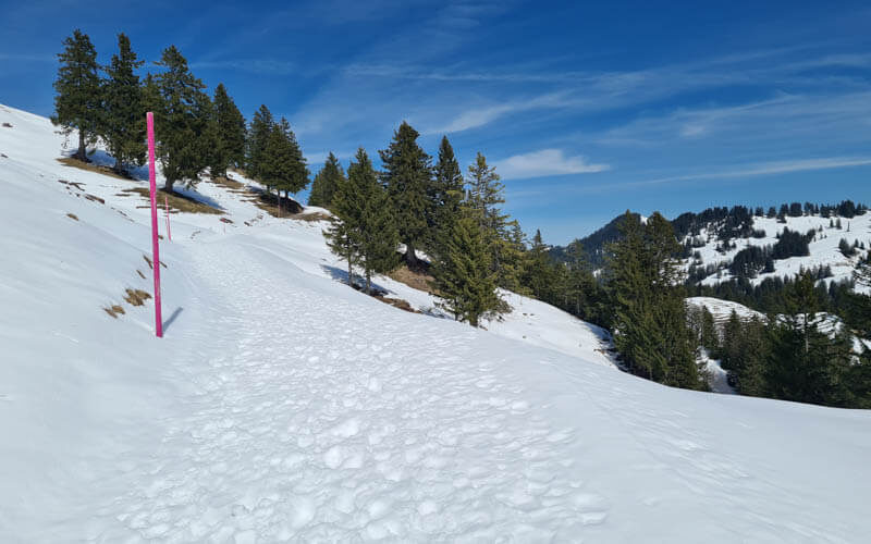
Looking back on the trail as it winds around the mountain.

Joining back on the trail towards Alp Zwäcken.
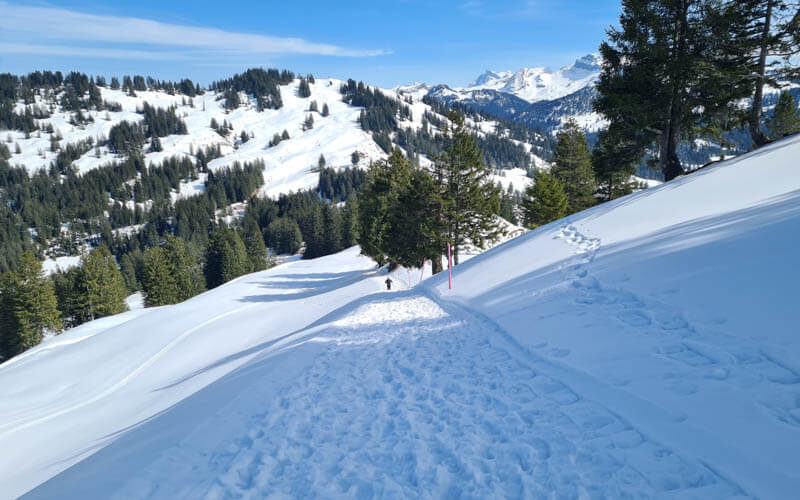
Such great views in both directions, you won’t mind walking back and forth.
Arriving back at the Sonnenhutte, almost done.






4 responses
Thanks Tanya for explaining the route in such detail, very helpful! We were there yesterday and it was fab! By the way, as it is announced on their website, now the bus does go to the Ibergeregg pass in winter 🙂 Thanks again!
Thanks for the tip about the bus! I’ll update the post.
Quick question: Do we need a Snowshoes for this trail or spikes could work?
https://www.decathlon.ch/de/p/schuhspikes-schnee-sh900-damen-herren-s-xl/_/R-p-312581?mc=8574173&c=SCHWARZ
I thought because the trail is so groomed probably spikes works best here and snowshoes are overkill?
This trail is usually possible just with hiking shoes, no snow shoes required. But I like carrying traction cleats in case it gets icy. The ones you linked to would be perfect.