This beautiful snowshoe trail loops around the alpine terrace of Haldi, with big mountain views, rolling fields and quiet forest. This is my favorite snowshoe trail so far in my short snowshoe career, which a pleasing variety of the terrain and gorgeous views. We were lucky to go right after a big snowstorm, so all the trees were still beautifully covered in snow.
The route is moderate difficulty, suitable for average hikers and older children. The uphill sections were a bit steep at times, causing us to take frequent breaks. But we didn’t mind a bit because we wanted to take so many pictures. We did the 7km loop, but there’s a shorter 3.7km route if you prefer.
Be aware that it’s a popular trail, so best to go early, even if you start in the shade. We were there on sunny Tuesday. At 9:30 we rode up with 6 other snowshoers and saw several others on the trail. On our way down at 13:30, there were over a dozen people waiting to ride up.
| Region: | Canton Uri, Central Switzerland |
| Address: | Haldi Cable Car |
| Car: | Parking: Wyergasse 1, 6467 Schattdorf From Lucerne 40 min, Zürich 1hr10 |
| Public transport: | Schattdorf, Dorf bus stop From Lucerne 1hr, Zürich 1h30 |
| Trail: | 7.1 km loop, about 3hr (also a 3.7km option) |
| Elevation: | highest point 1430m, 420m up/down |
| Skill: | moderate |
| Condition: | ungroomed marked snowshoe path |
| Services: | WC at cable car station, restaurants in alpine village |
| Cost: | Cable car return CHF 16/adult. GA, Half-fare and Junior cards accepted. |
| Open: | December to March, assuming snow |
| More info: | SwitzerlandMobility • webcam • trail status |
Trail Overview
Here is the Haldi winter hiking map. There are two snowshoe trails, red and blue. The color matches stripes painted on the the sticks marking the trail.
We did the longer red route. If you want to do a shorter route, fork off onto one of the trail options shown on the map.

The trail map below shows what Strava tracked when we did the hike. The stats on my map don’t exactly match the official trail info.
See official trail map on SchweizMobil.
See also How to snowshoe in Switzerland for beginners and What to pack & wear on a winter hike
How to get there
This snowshoe trail is located south of Lucerne, near Altdorf, easily accessible by car or bus. The trail is accessed by a cable car.
By car:
Drive to Wyergasse 1, 6467 Schattdorf, following signs to the Haldi Luftseilbahn (aka cable car). There is a small metered parking lot next to the cable car, with an underground section that you might not see at first look. It costs CHF 1/hr or CHF 6/day, coins only (no mobile app).
By public transport:
Take a bus to Schattdorf, Dorf. The cable car is a 2 min walk from the bus stop.
Tickets & Operating Times
In 2025, a return ticket costs CHF 16.80/adult. 50% discount for SBB GA and Half-fare cards, even in winter. Children under 6 or with a SBB Juniorcard ride free. You can pay with cash or card.
The cable car runs year round from 6:00 – 12:00 and 13:00 – 19:30, every 15 minutes but continuously on busy days. It fits 16 people per ride.
See current prices and opening times.
Photo Story
1. Riding up the cable car to Haldi
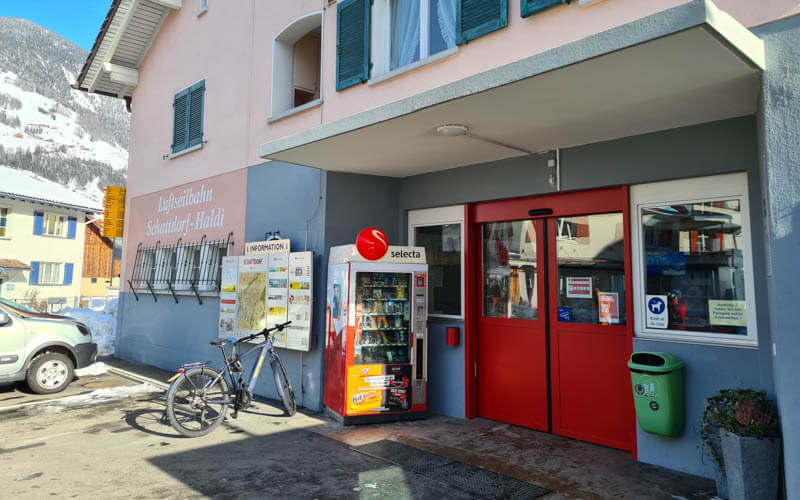
Here’s the Schattdorf-Haldi cable car station. Don’t forget to pay for your parking at the meter and put your receipt in your car window.
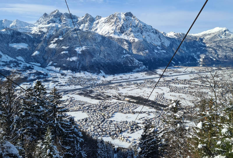
View from the top of the cable car back down to Schattdorf in the valley.
2. Starting the snowshoe trail
When you leave the cable car, you walk to the road and see this pink trail sign and map. Go left.

After a bit on the road, you head out onto this narrow snowshoe path. Even after a big snow, it gets trampled down quickly from other hikers.

After you leave the village, it’s uphill until you reach the far side of the loop, sometimes mild, sometimes steep but for long.
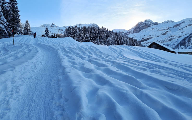
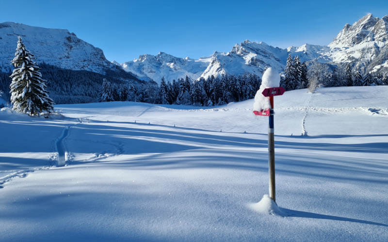
Follow the pink signs labeled 885. You won’t see a lot of these. Mostly the trail is marked simply with the pole with red and blue painted on top.

The snow was quite deep when we were there because we went a couple days after a big snow storm.
Looking for the best online services?
Explore top-rated platforms and secure your discount before it expires.
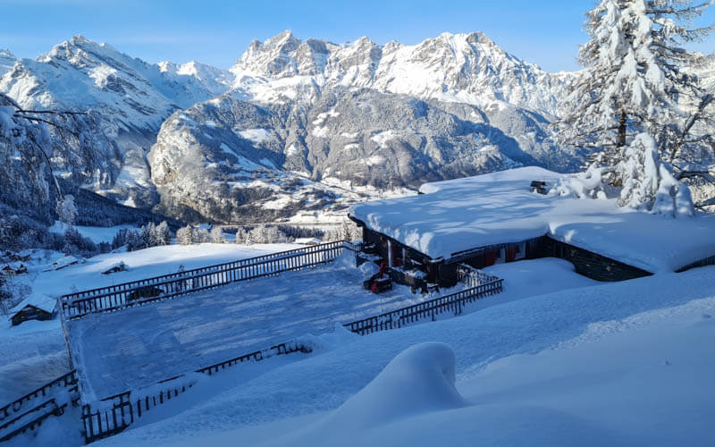
After about an hour, you’ll pass this restaurant. Unfortunately, it was closed because of the lockdown measures when we were there. But it would have been nice to stop for a break.
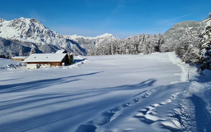
There are a couple forks in the snowshow trail. For the 7km loop, follow the path that leads up the hill.
Looking back on our trail along the edge of the forest.
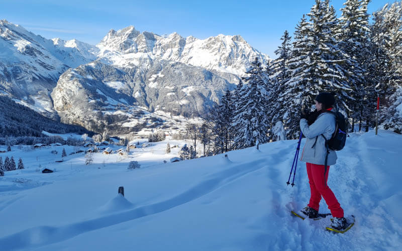
So many pretty views back down to the Haldi village.
3. Reaching the far end of the loop
Getting close to the mountains.

Pretty in every direction.

The sun starting to peek over the ridge. We were there in January when the sun was very low. We were also there in the morning. By the afternoon, most of this trail was in the sun.
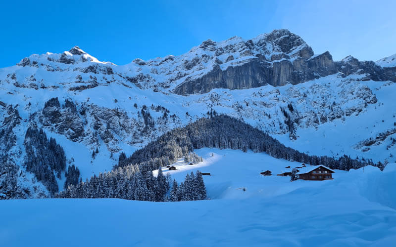
After about 1hr30, you reach the end of the loop and the trail loops back over these rolling hills. I loved this part!
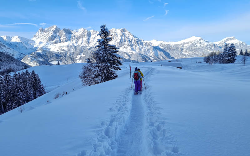
Looking back on the trail again.

After the field, the trail turns back toward the mountain, briefly joins a road, then heads into the forest. Watch the trail signs carefully. We had to look around for the trail a couple times.

The last rolling bit before you get to the village. So, so pretty!
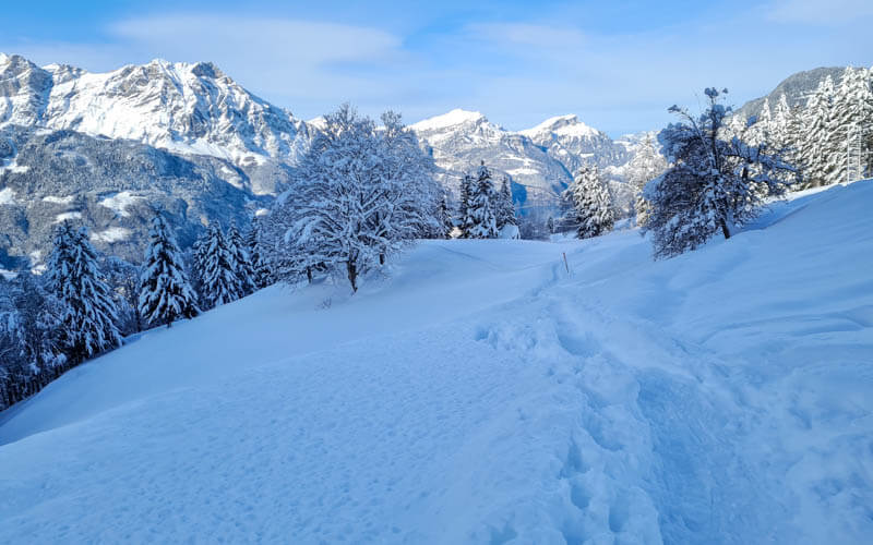
4. Back in the village
You’ll pass the ski hill, not running on the weekday we were there.
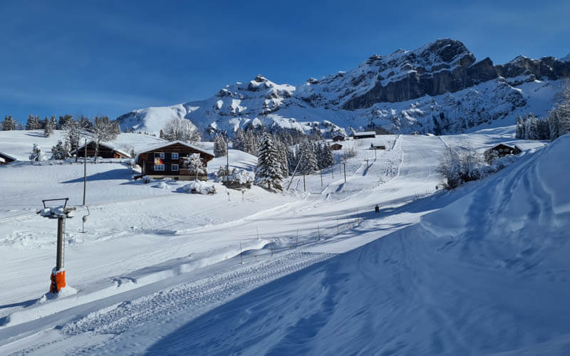
When you get close to the village, you join a groomed road.

On this last bit, you mostly stay on the groomed trail, but just keep following the red/blue sticks until you reach the cable car.

Well, that’s all for today. I hope you go and do this trail and love it as much I did!
You might also like…
See more Snowshoe trails and Winter Walks in Switzerland





