What a perfect hike for autumn in Switzerland! This loop trail at Wasserfallen has everything you might want: bright fall colors, interesting ridge trail, gorgeous views over the rolling Swiss countryside and famous mountain peaks in the distance, and restaurants serving traditional “wild” menus with mushrooms, chestnuts, and game meat. Since the highest point is only 1204m, this is a great choice for early spring and late fall when other mountains are closed or covered with snow.
Even better, Wasserfallen has a ropes climbing park, a nice add-on if you have children that need motivation to complete the hike. You can also ride a trotti scooter down the mountain for a little thrill. I’m already planning to come back in April to see what it looks like in spring. I hope you like it!
| Location: | near Basel Switzerland |
| Address: | Oberbiel 60, 4418 Reigoldswil |
| Car: | Parking: Oberbiel 60, 4418 Reigoldswil 35 mins from Basel, 1hr from Bern, 1hr20 from Zürich |
| Train: | Train station: Reigoldswil, Dorfplatz 55mins from Basel, 1hr50 or Bern, 2hr from Zurich |
| Trail: | 9.5 km, about 3.5 hours |
| Condition: | partial dirt road, partial narrow dirt path with rocks and stairs, yellow hiking trail, Swiss trail rating T1 |
| Skill: | moderate |
| Services: | restaurants along trail, ropes climbing park, trotti scooters |
| Cost 2023: | Gondola return CHF 24/adult, CHF 13.20/child 10% discount for families, no discount for travel cards, Junior cards partly accepted. |
| Open: | May through October 9:00 – 17:30 |
| More info: | www.region-wasserfallen.ch • webcam |
Location
Wasserfallen is a small mountain area in northern Switzerland near Basel.
We did the loop trail that starts at the top of the Wasserfallen gondola. The trail climbs to a high point at Chellenchöpfli, then joins the ridge, which dips down then climbs back up to the highest point at Passwang. Then to the Vogelberg restaurant (optional lunch). Then back down to Wasserfallen.

Trail map
It mostly follows the official Wasserfallen-Rundweg route 470. We shortened the trail a bit at the end, taking a more direct route from Vogelberg to Schattberg (you are allowed to giggle at this name), skipping the road to Bürten. I was perfectly happy with route we did and would recommend it. Here is the trail map, which you can download to your phone for offline use.
Getting to Wasserfallen
By car: Drive to Reigoldswil and follow signs to the Wasserfallenbahn gondola (Oberbiel 60, 4418 Reigoldswil, GPS: 47°23’26.9″N 7°41’45.0″E). There is free parking adjacent to the gondola station. FYI, after you leave the highway, you’ll be on narrow country road the rest of the way to Reigoldswil. It’s a beautiful drive but I was worried I was going the wrong way. Don’t worry. Wasserfallen is way out in the countryside and that’s how you get there.

It is possible to skip the gondola and drive up the mountain on a one lane road to Waldweid. You can park near the trail here: 47°22’29.3″N 7°43’03.9″E. I don’t know if it’s a private road but we saw at least three cars with hikers parking here.
By public transport: The nearest bus stop is Reigoldswil, Dorfplatz. From there, it’s a 900m walk through the village to the gondola station as shown below.
Opening hours
The Wasserfallen gondola is open for summer season from May through October. The gondola runs daily from 9:00 to 18:00. See current opening hours. If you want to see the fall colors, the best time to hike at Wasserfallen is mid-October.
Ticket prices
In 2021, a return ticket on the Wasserfallen gondola costs CHF 22/adult, CHF 13.20/child. You can pay with cash or cards. No discounts for SBB GA or Half-fare cards or other travel cards. If you have Junior cards for your kids, their website says they will accept it for one child per paying adult. There is a 10% discount for families. See current ticket prices.
If you plan to ride the scooter down, only buy a one-way ticket on the gondola (CHF 17) and pay for the scooter (CHF 12). You must be 12 years old to ride the scooter by yourself. Younger children can ride double with an adult.
Services
There are many mountain restaurants in this area, including these along the trail (in clockwise order): Berggasthaus Hintere Wasserfallen (near gondola station), Bergwirtschaft Waldweide, Bergrestaurant Vogelberg
Trail impressions
1. Riding up the Wasserfallen gondola
Here’s the Wasserfallen gondola station in the valley. You can buy your tickets inside and get a free map. There is a WC here.

Six people can fit in a gondola car but with Covid, best to ride only with your family or group.
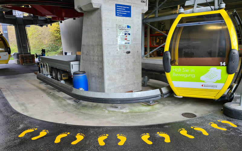
Here’s the view from the gondola, really beautiful in fall. We met other hikers that suggested next time we walk up instead because then you get to see the waterfalls that this areas is named after. We’ll try that in spring.

Here’s the gondola station at the top.
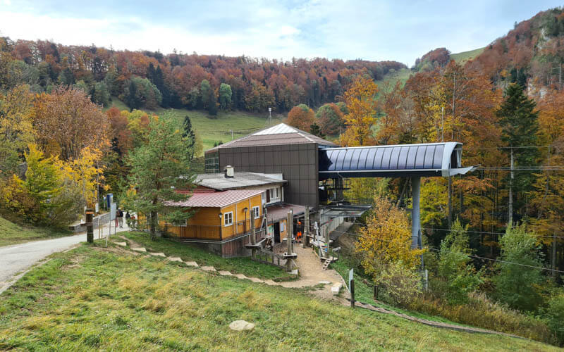
When you exit the gondola station, turn left to join the trail and take your first right heading up the mountain on the dirt road. There are so many signs, it’s hard to know where to go. Follow the signs with the green 470 Wasserfallen Rundweg marker. Here are your points of reference: Waldweide → Chellenchöpfli → Passwang → Vogelberg → Schattberg → Wasserfallen.

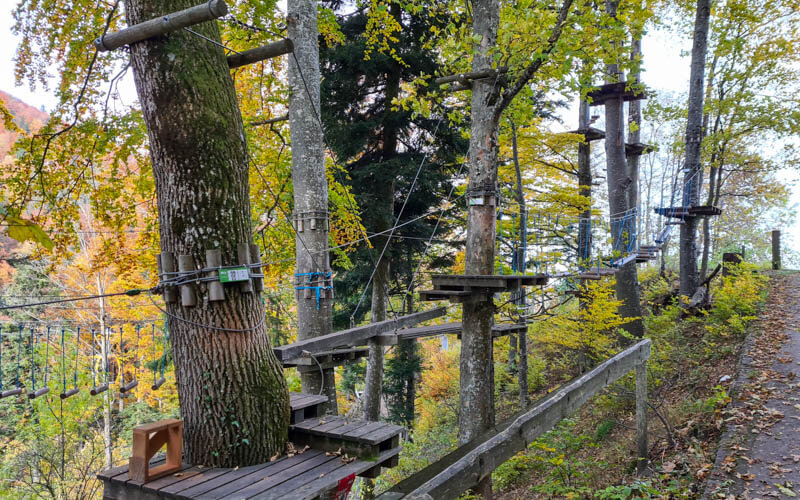
Right next to the gondola station, you’ll the ropes climbing park in the forest. We’ll definitely have to come back for this.
2. On the road to Waldweid
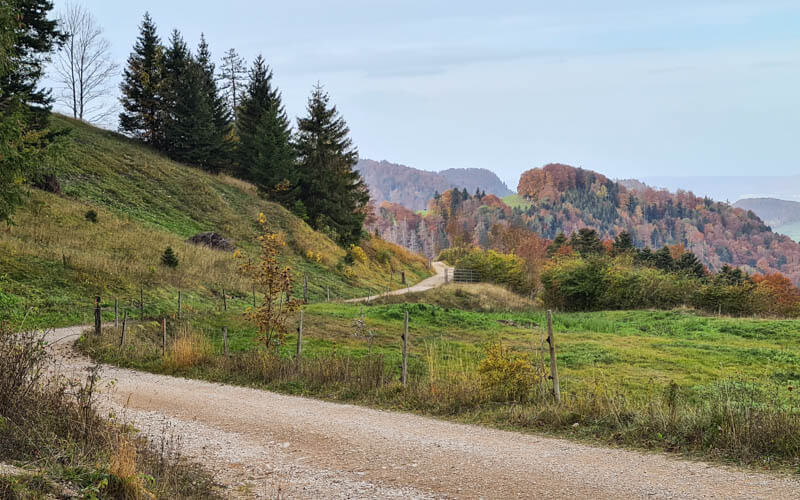
This first section of the trail is on a dirt road to Waldweid. It’s uphill the whole way, not super steep but it’s a bit of a workout.

Looking back down the road toward the gondola.
You’ll pass this big picnic area with three grills and big picnic tables.
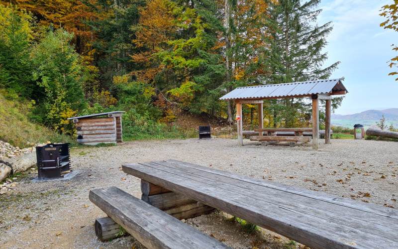
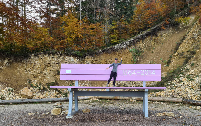
And one ridiculously large bench???
Another picnic area set up the hill.
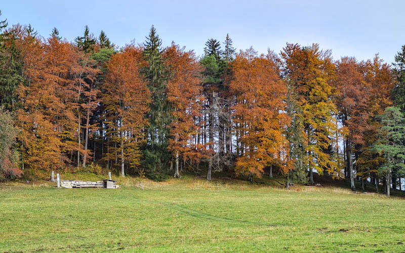
Such idyllic views around here.

Almost to Waldweid and the end of the road, but start of the trail. Ahead you can see the parking area I mentioned before. It looks like hikers had driven up the one lane mountain road to get here, not my first choice but cheaper than paying for the gondola. If you want to visit the Berggasthaus Waldwaid restaurant, there is a road that branches to your left (there is a sign) before you get to Waldweid.

At Waldweid 1021m, continue following the 470 signs toward Chellenchöpfli. You will enter the forest right after the parking area.

3. Up the forest to Chellenchöpfli
After Waldweid, you enter the forest on a path that narrows into a lumpy dirt foot path. The trees are absolutely gorgeous in fall, so colorful! It can be a bit slippery with the leaves, especially after rain.
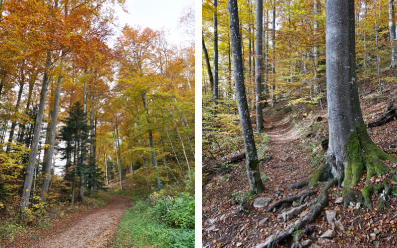
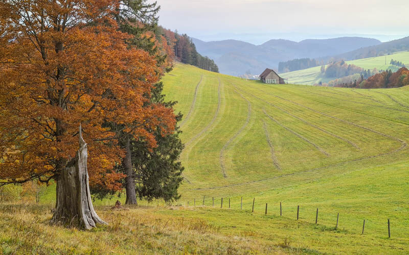
You pop out of the forest occasionally to get views like this.
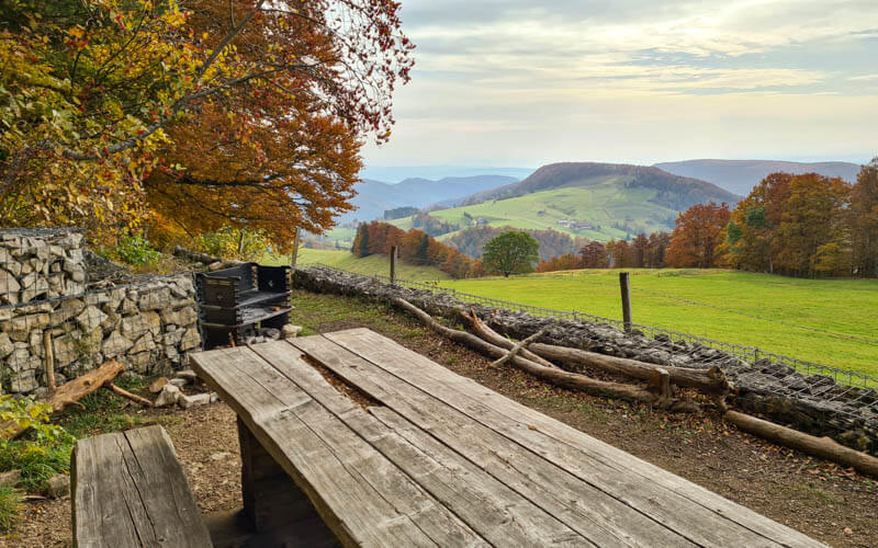
I think this is the best picnic area of the trail. It has a wide open view, nice picnic table and grill.
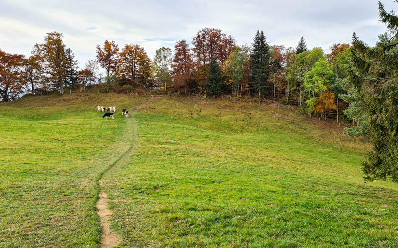
Right after the picnic area, turn left and head across this field. The turn right and walk along the ridge in the forest. You are still on route 470.
4. Along the forested ridge to Passwang
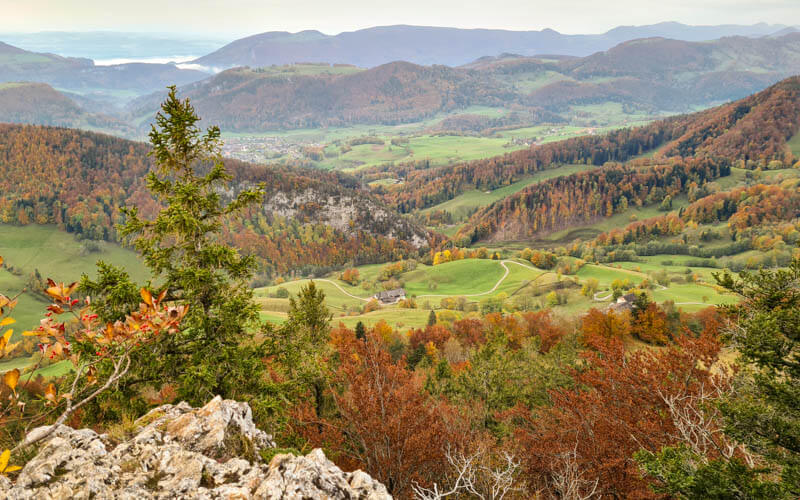
When you reach the ridge, you can peak through the forest and get views like this.
Discover top exclusive offers today!
Click here to learn more and take advantage of these limited-time deals.
Now you can also see where you are going. The trail goes down and to the left, joining that long line of trees that wind up the mountain to the highest point in the distance, which is Passwang.
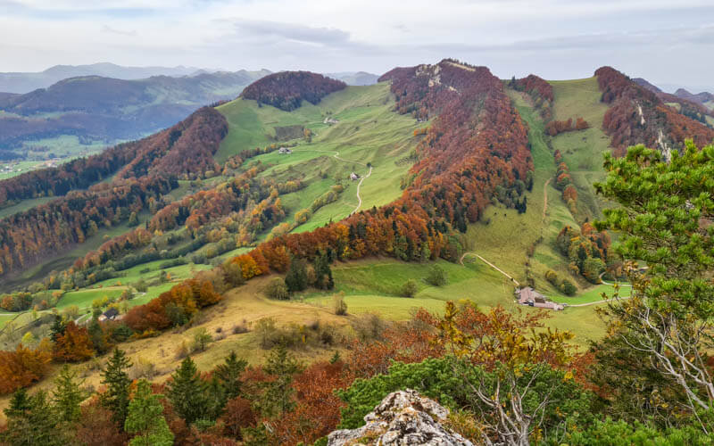
Now down through the forest.
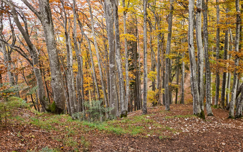
Follow signs to Passwang. You are still on route 470. You are also joining the the Solothurner Waldwanderweg and ViaSurprise for awhile.

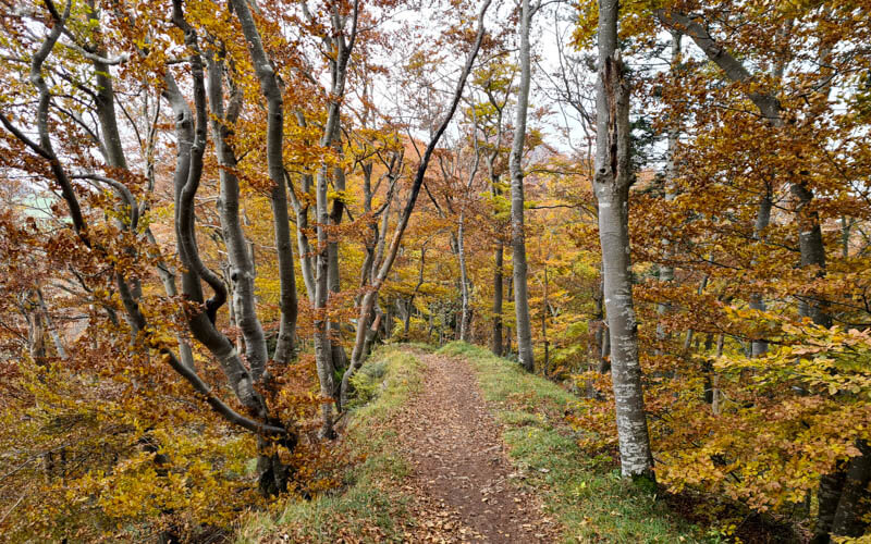
When you reach the ridge, it’s so pretty! It’s not a scary ridge like other ridge trails. It’s relatively safe and no steep drop offs unless you leave the trail to explore the cliffs.
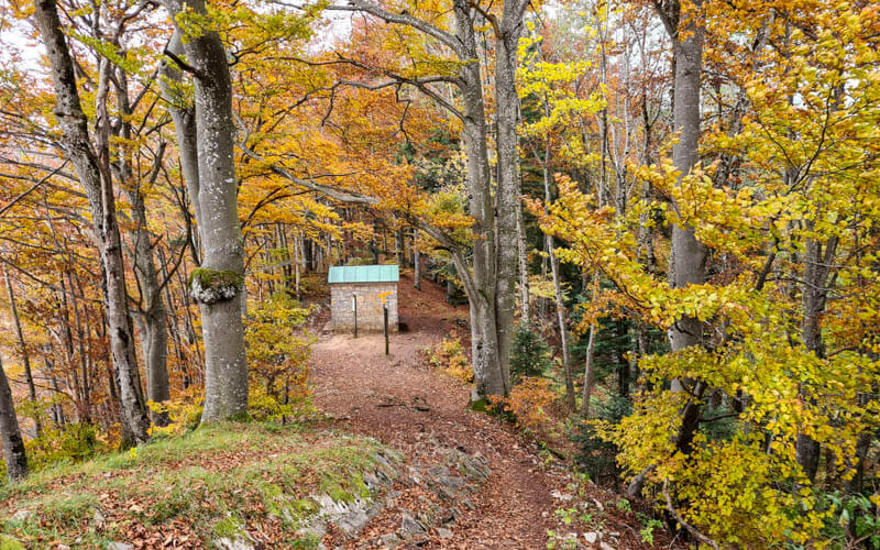
You’ll descend until you reach this small chapel (where single ladies can pray for a husband).
Now up up up along the ridge to Passwang. The trail conditions are the most difficult in this section, very narrow in parts and lots of rocks to walk over. But I think that makes it fun.

At one point you break out of the forest and you’ll see the Vogelberg restaurant below. You can walk down there now. But I suggest that you keep walking on the ridge to Passwang, then loop back on the road to the restaurant.

The viewpoint at Passwang 1204m.

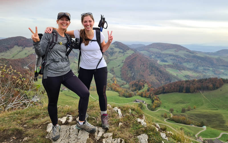
Better with friends!
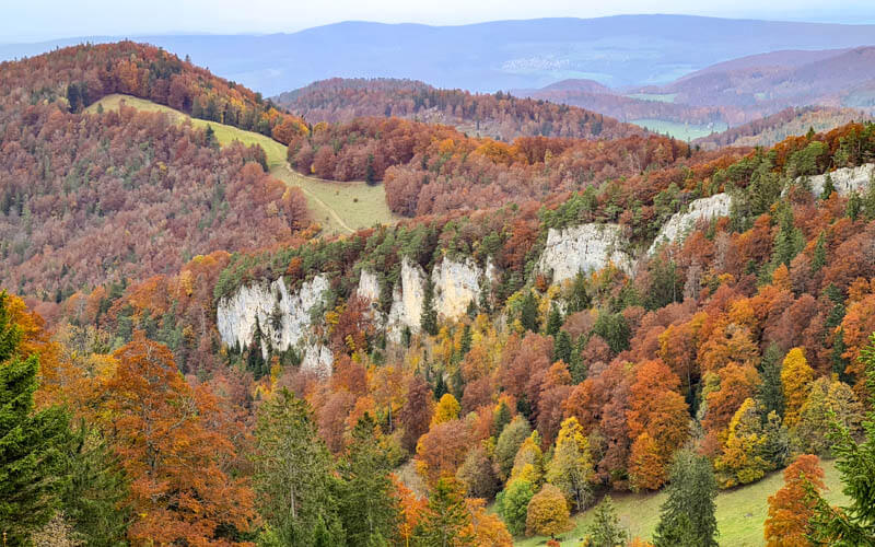
The colors!!!
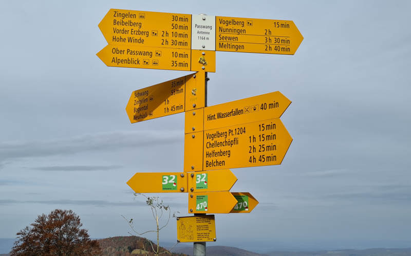
The path reaches a road and forks. Follow the paved road and signs to Vogelberg (with the restaurant icon), about 15 mins.
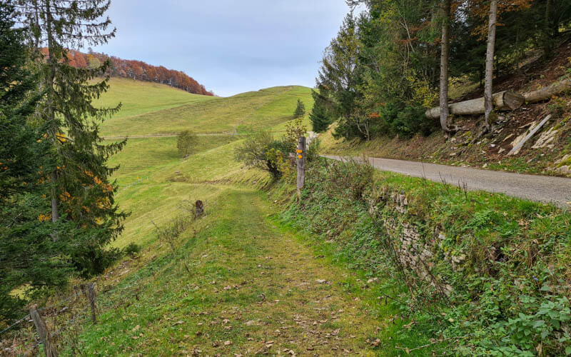
Here’s the road. A nice break from all the rocks.

The walking path splits from the road here, though not well marked. Both lead to the restaurant but the walking path is a bit nicer.
5. Lunch at Vogelberg
We ate at the Vogelberg Passwang Restaurant.
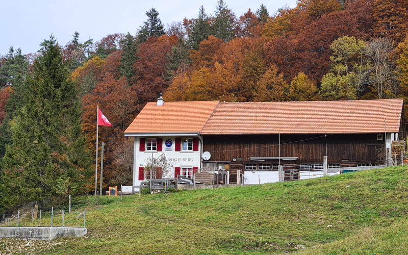
They have outdoor tables with a great view down the valley. They also have an indoor dining area with a few tables. In fall, they have a traditional wild menu. They are closed on Mondays during summer. They are open Tue – Fri from 9:00 to 18:00, until 22:00 on Fridays and Saturdays (reservation required for dinner +41 61 941 10 84). www.bergrestaurant-vogelberg.ch

6. Back down Wasserfallen (shorter version)
From Vogelberg, we took the trail back up the hill, signs pointing to Bürten (although you never go to Bürten). This is the most direct route back to Wasserfallen. This pic shows the path leading up the hill. The road on the right is where you just came from at Passwang.

There is another path leading straight from the restaurant into the forest, the official 470 route, , which heads to Bürten, then loops around to Wasserfallen. The map was confusing and we thought maybe we had to take the trail. You can but you don’t have to.
I suggest the route we took. Start by following signs to Bürten.

It’s only a few minute until you get to the top of the hill. Now you have a view of your whole hike. The highest point out there is the Chellenchöpfli. On the right is the forested ridge you walked to Passwang. Down in the valley to the left is the Wasserfallen gondola.

Follow the path into the forest.

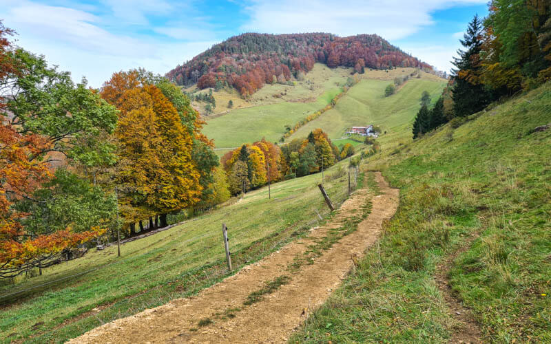
I was worried about the downhill, but the path is well built and not too steep. When a path forks off the road to the right, make sure to take it.
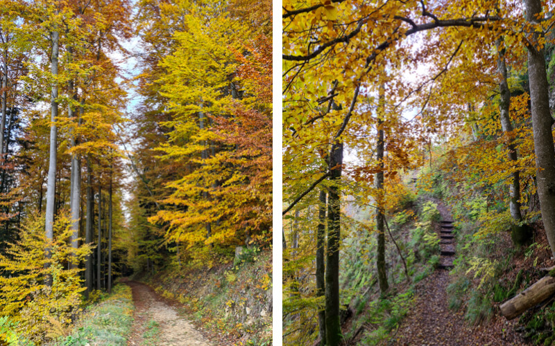
The path turns into a lumpy, muddy dirt road leading to the next restaurant.
Near the gondola, there is the Berggasthaus Hintere Wasserfallen, which
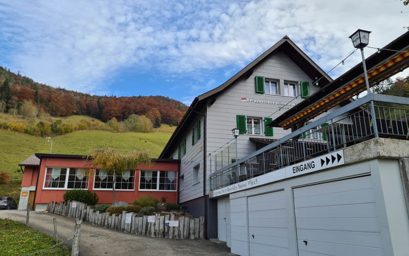
The restaurant has a playground with a big slide.
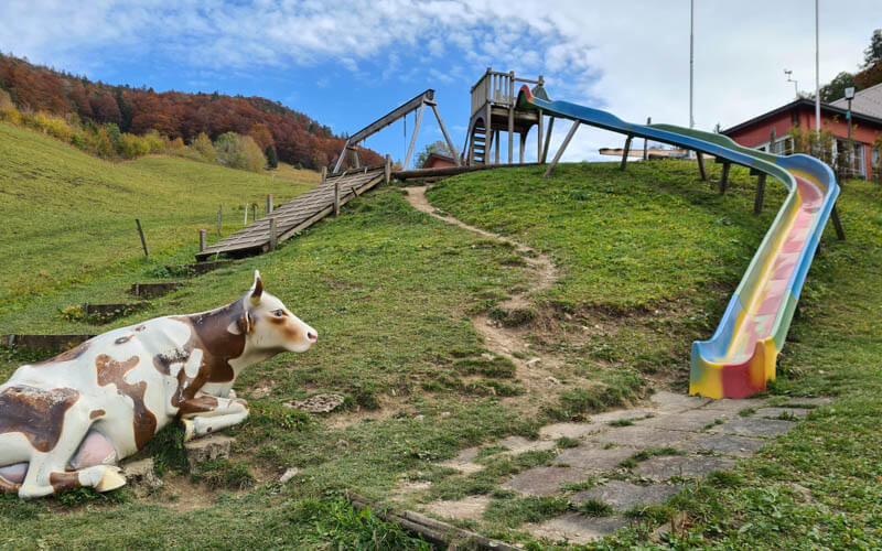
As you walk the last few steps, look back up the mountain you just came down.

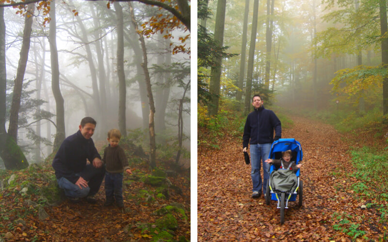
Side note: We visited Wasserfallen once before, way back in October 2006, right after the new gondola opened. My oldest son was only 2.5 and we brought the stroller, which is not the best choice for this area. We took the road portion of the trail to Restaurant Waldweide, which was doable. But after lunch, we ventured into the forest up to Chellenchöfli, which was basically impossible with the stroller, but we did it anyways. Not recommended.
You might also like: Fall hikes near Zürich







2 responses
Dear Tanja,
Thank you for all your articles! Your site is our #1 choice to check out places to hike.
This past weekend we did the Wasserfallen hike. Despite it being a ‘yellow’ Wanderweg, we found it much harder than quite a few ‘white-red’ paths, like the one running by the Oeschinensee. Maybe it was due to the trail conditions, with everything being wet and slippery due to the recent rain. Also, it has to be noted that at certain sections there are barbed wire fences running right beside the narrow, separating it from the meadows. It’s easy to slip, and it was due to sheer luck that I only tore my trousers on the barbed wire.
I find that the elevation profile provided by Komoot is useless. We followed your path to the T, but it looks quite a bit different (I only recorded the two big peaks, there was no trace of the jaggies seen on yours). The portion marked in deep red near the end, with readings of ~20% was, for example, a rather gentle slope; on the other hand, the steep climb and ascent at the end, which was even helped by steps and chains, is shown both in your elevation profile and in mine.
None of that is your fault, of course, I just wanted to leave a note to warn to fellow couch potatoes.
Thanks for leaving this detailed accounting of your experience on the trail. I agree that it could be quite tricky in slippery conditions, which is common in fall. I’m glad you weren’t injured and your trousers were the only casualty.