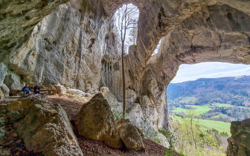
This hike starts at the top of the Weissenstein gondola and visits two beautiful panorama viewpoints overlooking the Jura region. It’s a proper hike, with rocky terrain and cliff overlooks, but well within the capabilities of most casual hikers. This is a good choice for spring because of the lower elevation and slightly warmer temps the Jura region gets compared to the Berner Oberland mountains you can see from here on a clear day.
This is one of our first hikes in this area and we were absolutely charmed, already planning more hikes to the nearby peaks. If you want the views without a long hike, you can lounge at the restaurant terrace or picnic near the first viewpoint, which seems to be a popular choice for many visitors. If you want to hike longer, I’ve got more options below.
| Location: | northwest Switzerland • Jura & Three Lakes region |
| Address: | Oberdorf-Weissenstein gondola |
| By car: | Metered parking at cable car – Weissensteinstrasse 187, 4515 Oberdorf 40 min from Bern, 1hr from Basel, 1hr15 from Zürich |
| By public transport: | Bus stop: Oberdorf SO 1hr05 from Bern, 1hr20 from Zürich or Basel |
| Trail: | 7 km (shorter and longer options below) |
| Elevation: | highest point 1370m, 220m up, 260m down |
| Condition: | narrow dirt path, no strollers |
| Skill: | moderate |
| Open: | best May to October |
| More info: | seilbahn-weissenstein.ch • webcam |
Location
This trail is located in northwest Switzerland near Solothurn. The trail is accessed with a cable car.
Overview of trail
This trail starts at the top of the Oberdorf-Weissenstein gondola, hikes out to the Roti and Balmfluechöpfli viewpoints. Then you hike down through the forest to the middle station Nesselboden, where you ride the gondola back to your starting point.

Here is the trail map you can download on your phone. See map on Komoot • SchweizMobil • AllTrails • OutdoorActive
Shorter hike: You can simply hike from Weissenstein to the Röti viewpoint and back, about 4 km (see map). See many more hiking options on the Weissenstein website.
Skip the gondola: If you prefer to skip the gondola, you can drive to the Balmberg pass and hike up, about 8.9 km, 370m up/down. See this helpful post from Our Swiss Experience for details. This hike is also described on SchweizMobil.
Longer option: The long distance Jura Crest Trail (Stage 6) passes by the Weissenstein and would be a good choice if you want to see more of this area.
Getting to Weissenstein
By public transport: Take a train to the Oberdorf SO train station, which is directly adjacent to the Weissenstein cable car. So convenient.
By car: Drive to Oberdorf, Solothurn and follow signs to the Weissenstein Seilbahn. The closest address I could find was Weissensteinstrasse 187, 4515 Oberdorf but it wasn’t in my GPS nav. So here is the GPS: 47°14’10.7″N 7°29’35.4″E.
There are three parking areas, which implies that it can get really popular on nice days. We parked in parking area 1, which is directly at the gondola entrance. Parking 2 and 3 are a short walk down the road. Parking costs CHF 1.50/hr and CHF 9/day, which I frankly find a little expensive when I’m already paying for the gondola fees.
Ticket prices
For this hike, you will be riding one way from Oberdorf to Weissenstein and one way ticket from the middle station Nesselboden down to Oberdorf.
Instead of single tickets, it’s more affordable to buy a round trip ticket for Oberdorf-Weissenstein, which in 2021 costs CHF 24/adult. There is 50% discount for SBB GA and Half-fare cards, children aged 6-15, pensioners, disabled persons and military. Under 6 rides free.
Families with at least one child aged 6-15 get a discount – 10% if you are using other discount cards like Halbtax or a Junior card, 25% if you are paying full fare. You get a 10% discount with a SBB RailAway Combo Offer, see details.
Operating Times
The Weissenstein gondola is generally open for summer season from May through end of October. The gondola runs daily 8:30 – 17:30, until 17:45 on Sundays and holidays.
It has individual gondola cars that are limited to 4 persons during Covid-19 times.

Photo story of trail
1. Riding up to Weissenstein
Here we are approaching the Nesselboden middle station, where we will end the hike later.

The cable car drops you off at the Weissenstein hotel. They have a restaurant with a nice outdoor terrace. The trail starts on the path next to the hotel. Follow signs to Röti.
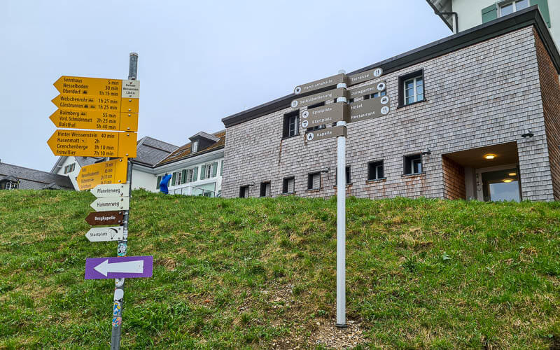
Here we are at the start of the path in a cloud. There is a parking lot here but not sure what the rules are for driving up here. It’s a one lane road, so it wouldn’t be my first choice.

The dirt path goes down a bit then up the hill as seen here.

When you get to the top of that hill, there is a smoother path and a rocky path in the trees. My family stayed on the smooth path and I rambled through the trees. There are several fire pits on the edge of the forest. Must be a popular place for picnics on a sunny day.
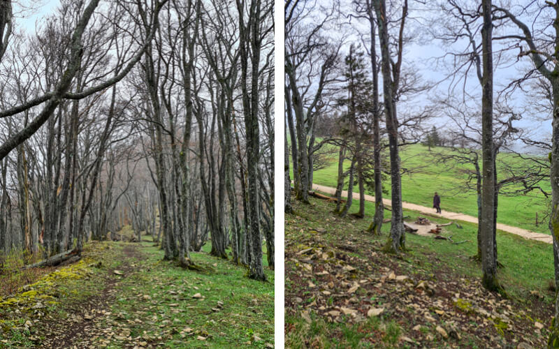
View to the north as you walk up. The village to the left is Welschenrohr, where we did the Wolf’s gorge and bear cave.

Looking back down the trail up to Röti.
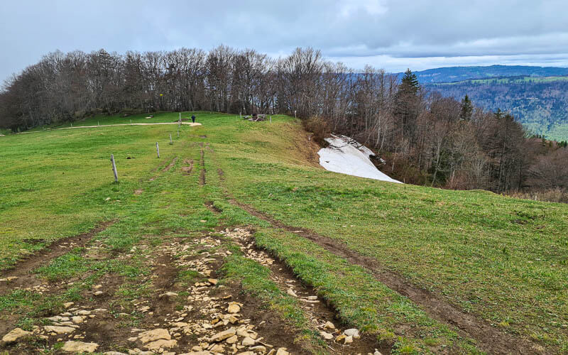
2. Arriving at the Röti viewpoint
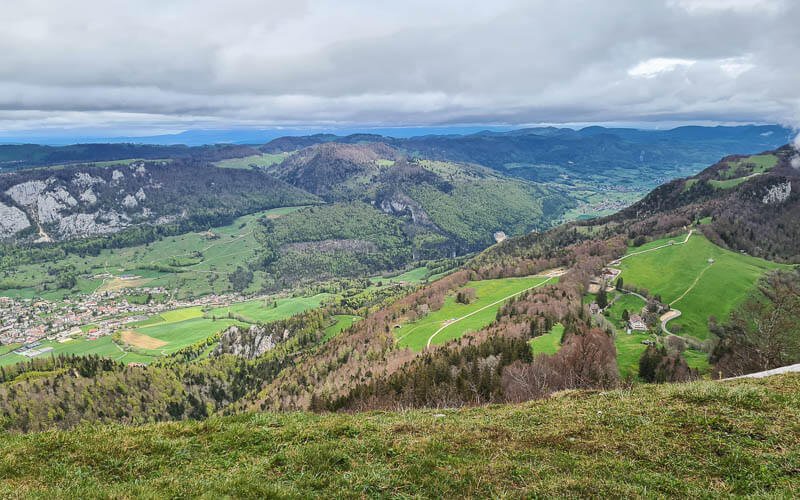
The view northeast from Roti at 1395m.
Celebrate getting up the hill before you continue hiking.
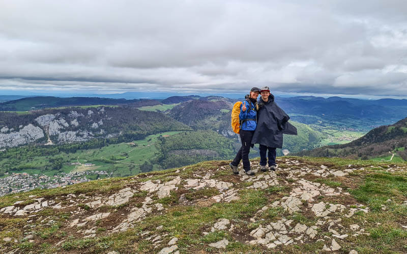
3. Hiking over to Balmfluechöpfli
Here’s the trail sign at Röti. Now follow signs to Balmfluechöpfli, another viewpoint.

The path continues along the cliffs for a bit. We were in a cloud, so it will be nicer when you go.
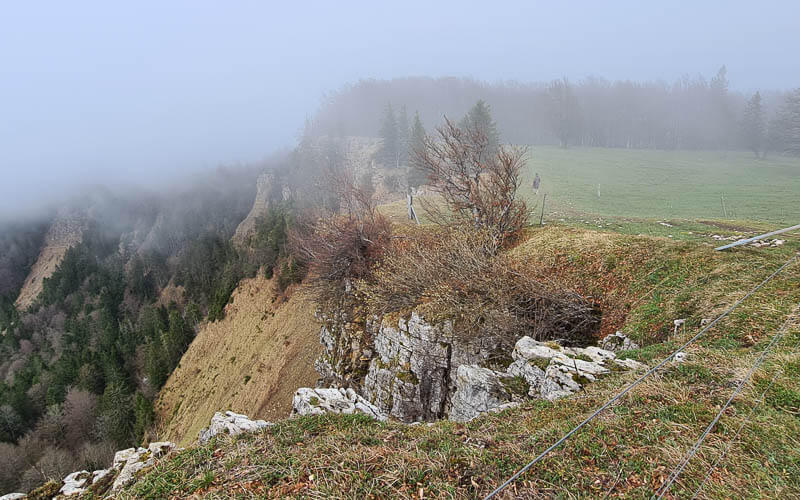
Then along the edge of the forest for a few minutes.
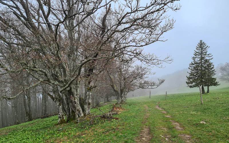
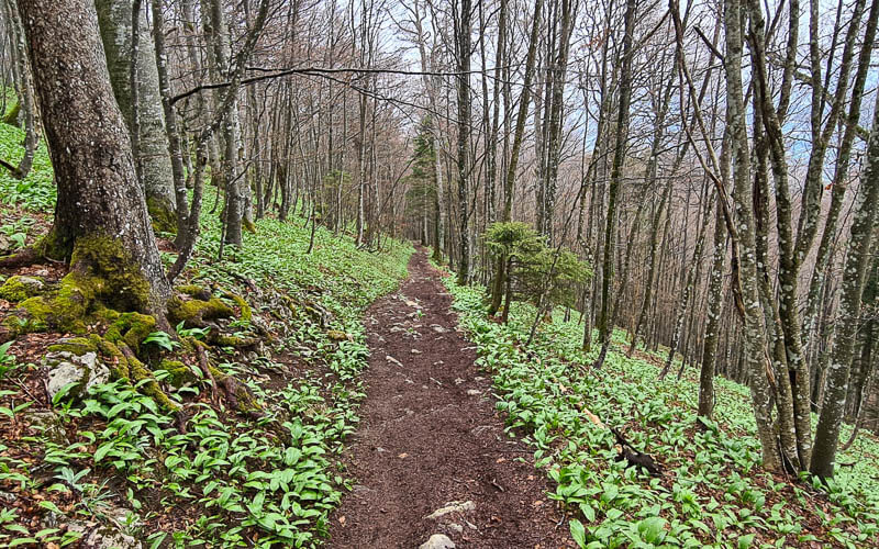
Then down down down through the forest. When we were there in mid-May, the forest floor was covered in bärlauch, aka wild garlic.
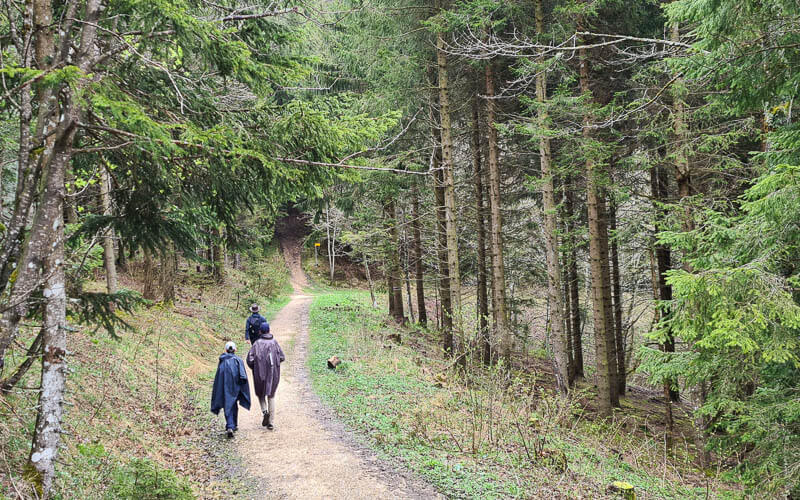
You exit the thick forest onto a wide dirt path and pass a couple trail signs. Keep following signs to Balmfluechöpfli. You can see in the pic below the path that forks off the main path into the forest and straight up the hill. That’s your path.
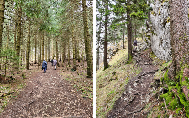
It’s a steep but short climb up the hill. The path is not great, a little slippery, not enough switchbacks.
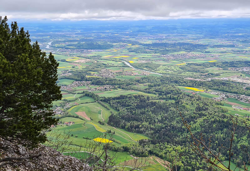
Then you arriving at this amazing viewpoint at Balmfluechöpfli. There is a safe section behind a barrier, but I forgot to take a picture of that. You can wander a bit along the cliffs for some pretty pics.

Loved seeing all the yellow rapeseed fields that are super bright in middle May.
4. From Balmfluechöpfli down to Nesselboden middle station
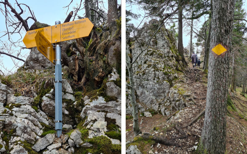
From Balmfluech start by walking down the trail you came up. After a couple minutes, you’ll see the trail sign shown here. Follow the sign to Forsthaus Rüttenen, which is not your destination but it is the right direction for now. Follow the ridge through the forest. (You could go down the path you came up and join the dirt road path, but I don’t think that’s as nice as this trail).
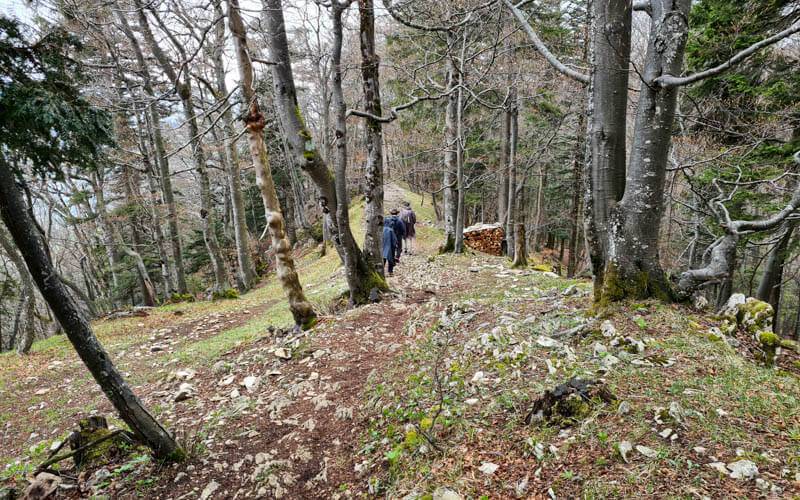
The trail along the ridge is very nice and will be even nicer when you go in summer.
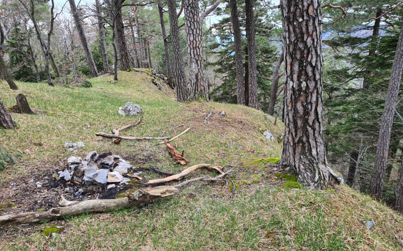
About 15 mins down the ridge, before you start heading down the mountain, there is an unofficial path forking up to this little grassy spot. It was a great place for our picnic. The wood was too wet to burn, so we huddled together for warmth and ate fast.
Go back to the main trail, which heads down the mountain. You will feel like you are going the wrong way, but this is correct. After about 10 mins, the trail will wrap around the mountain to your right instead of continuing to go downhill.
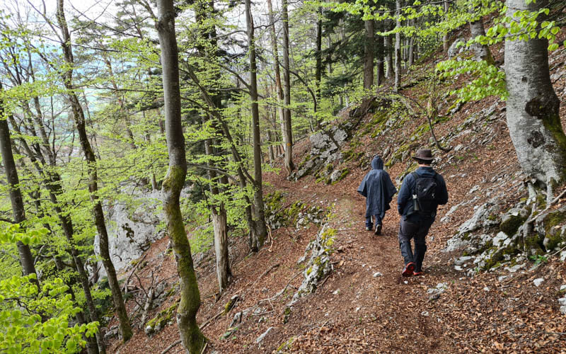
Making your way through the forest. Eventually you join the dirt road. Follow signs now to Nesselboden.
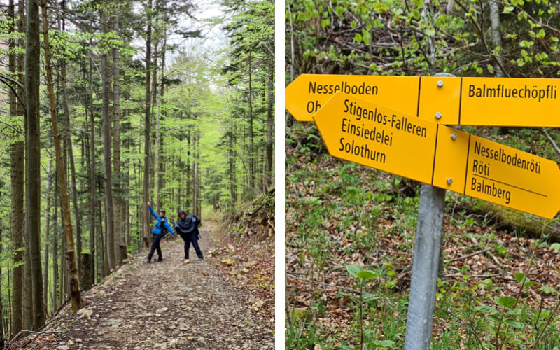
Last uphill to Nesselboden.
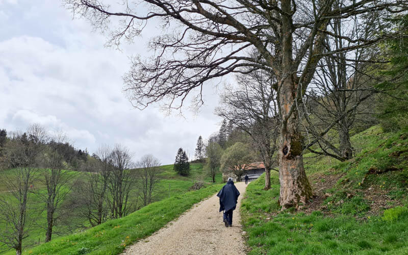
Arriving at the gondola middle station, Nesselboden at 1061m. You can buy tickets here if you need to. We rode from here down to Oberdorf to where our car was parked. If you want to keep walking, you can walk down to Oberdorf, which is another 2.25 km, 400m of elevation descent, about an hour of walking.

Video of the trail
Here’s a video of our Weissenstein hike.
I hope you like it. So many more hikes in this region to explore. We’ll definitely be back.