
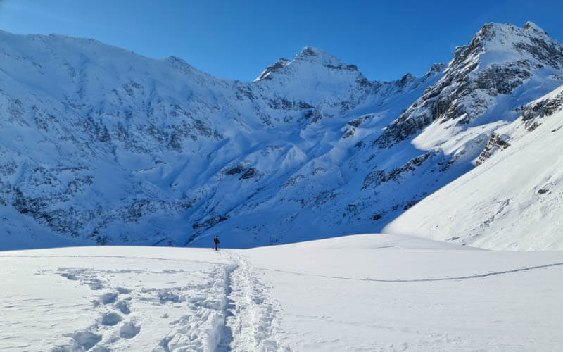
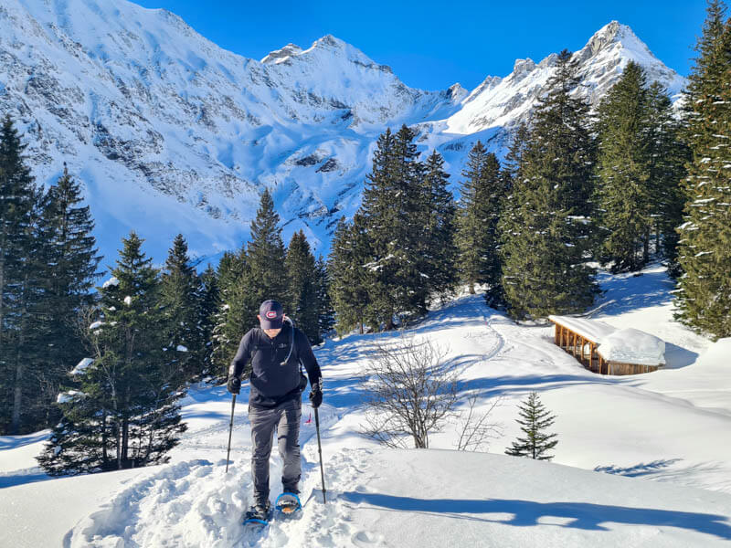
This snowshoe trail is near the Elm ski resort, but far from the ski slopes so everything is quiet and peaceful. The loop starts in the forest and emerges into beautiful snow meadows surrounded by tall mountain peaks.
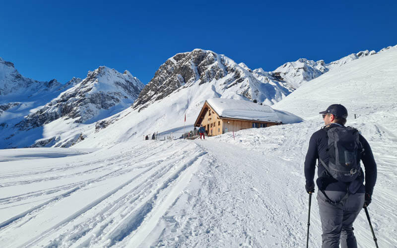
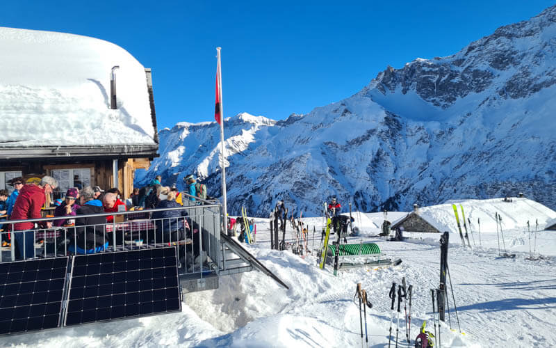
The trail leads to the Obererbs Ski Hut, a popular refuge for back-country skiers and winter hikers. Their terrace is a beautiful place to enjoy a hearty meal and soak in the sun.
| Region: | Glarnerland, Eastern Switzerland |
| Starting point: | Panixerstübli Restaurant – Walenbrugg 1, 8767 Elm |
| By car: | Street parking near Walenbrugg 1, 8767 Elm From Zürich 1hr50 |
| By public transport: | not convenient |
| Trail: | 5 km loop |
| Time: | about 4.5 hours |
| Difficulty: | moderate, 390m up and down |
| Condition: | marked snowshoe path |
| Elevation: | highest point 1680 |
| Open: | mid Dec through March, assuming snow |
| Cost: | free |
| Extras: | mountain hut with cafe and toilets |
| More info: | Obererbs hut website • nearby webcam • weather |
Gallery
Trail
This loop trail is an official snowshoe route, marked with pink poles. It starts from the parking area and hikes up to the Obererbs hut then back down.
See trail on Komoot • Schweiz Mobil Route 990
I think this trail is best done clockwise, so the steep uphill is on the ungroomed snowshoe path and your downhill is on the semi-groomed access road to the hut. Much easier than what we did the other way round.
The higher parts of the trail can be very sunny, making you strip off some layers. But the lower part of the trail are mostly shaded by the peaks, especially in December and January. So bring warm layers and thick gloves in case temps drop and you find yourself shivering.
How to get there
The trail is near Elm, at the end of the long valley after passing the ski resort.
The snowshoe trail official starts behind the Panixerstübli Restaurant – Walenbrugg 1, 8767 Elm. There are a few parking spots at the restaurant, but if the restaurant is open, those spots are reserved for customers. So you may park on the side of the road.
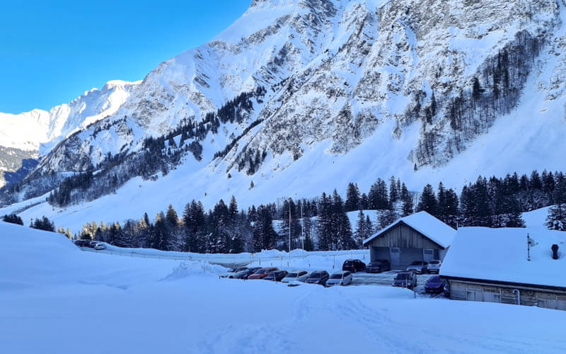
We noticed that a lot of people park further down the road near the Elm, Büelstafel bus stop (there is a parking area here). The service road up to the Obererbs hut starts there. So you can simply start by hiking up that winter road and join the snowshoe trail higher up.
Bus service on this line is infrequent (see schedule). Plus you have to call at least 60 mins ahead to request a stop at Elm, Büelstafel. Better to take a car.
Costs
You don’t need a cable car to reach this trail, so no additional costs.
You can rent snowshoes at the sport shop by the Elm ski resort down the road.
A little surprisingly, the Obererbs hut can be quite full on sunny weekends with other ski tourers and snowshoe hikers. So be prepared to wait for a table and squeeze in with other guests.
They have a cafe, toilets and rooms for an overnight stay.
Photo story of trail
We hiked the loop counterclockwise, so I’ll show my pictures in that order. But I suggest you hike clockwise, so you hike up the steepest part instead of down. With snowshoes, that would be easier traction-wise.
We did our hike in early January and started the hike at 11:00. The shadows were very long at this time of year. Not sure what to wear? See my Winter Hiking tips.
Starting the trail in the shade, quite chilly.
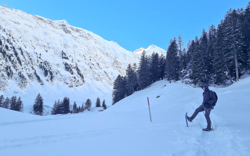
Mountain peaks sometimes in view as we climb through the forest.
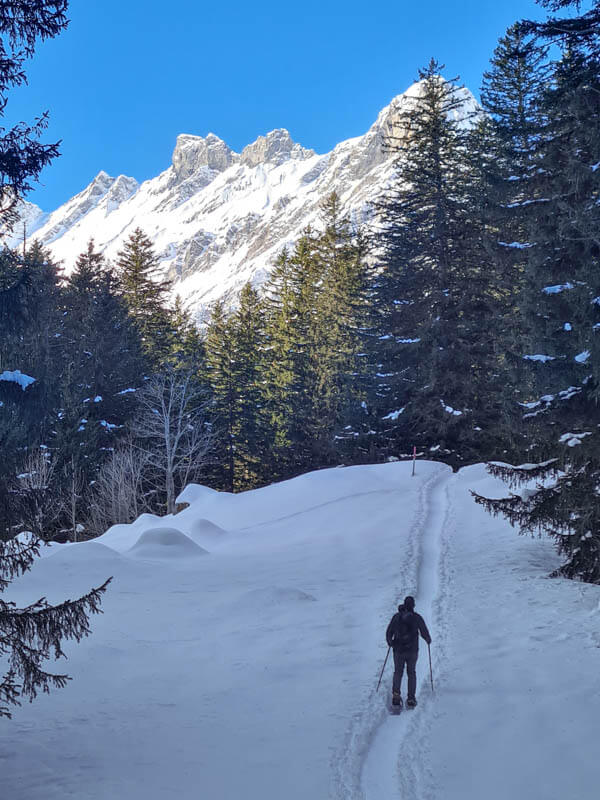
After about 20 mins, we reach the sun.

The lollipop trail forks here. We went right to do the loop counterclockwise.
A few minutes after the fork, the trail joins the snowy “road” that leads all the way to the hut. You could do this part without snowshoes when we went. A couple ski tourers skied past us on the trail.
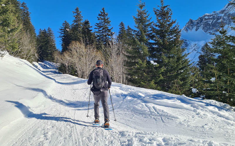
Follow the pink signs up the mountain.
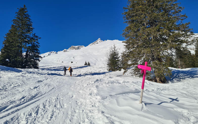
Looking back on the trail.
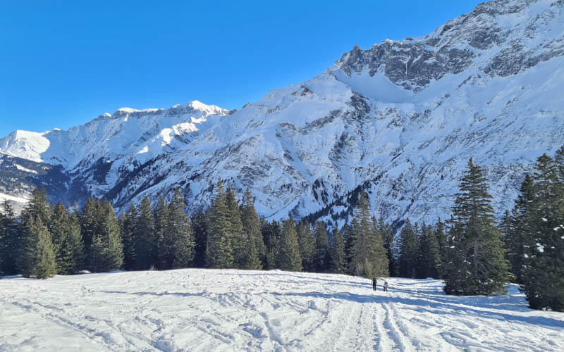
Continuing up the road. You can see how the road would quite good for the downhill if we were hiking the other direction.

Lots of snow the week before we got here.
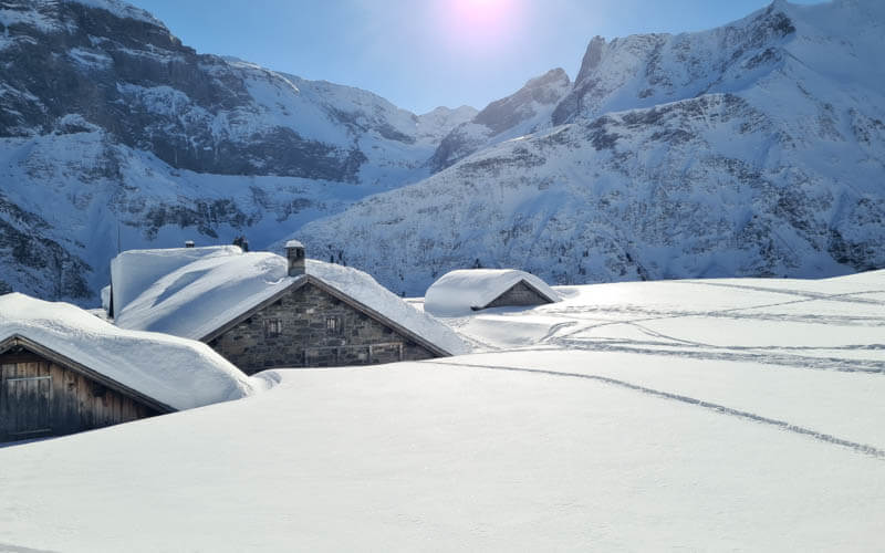
After about 1h20, we reached the Skihütte Obererbs.
We felt very welcome!
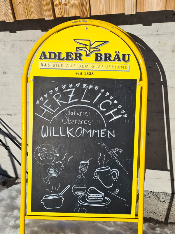
Lots of snowshoe hikers and ski tourers having lunch here.
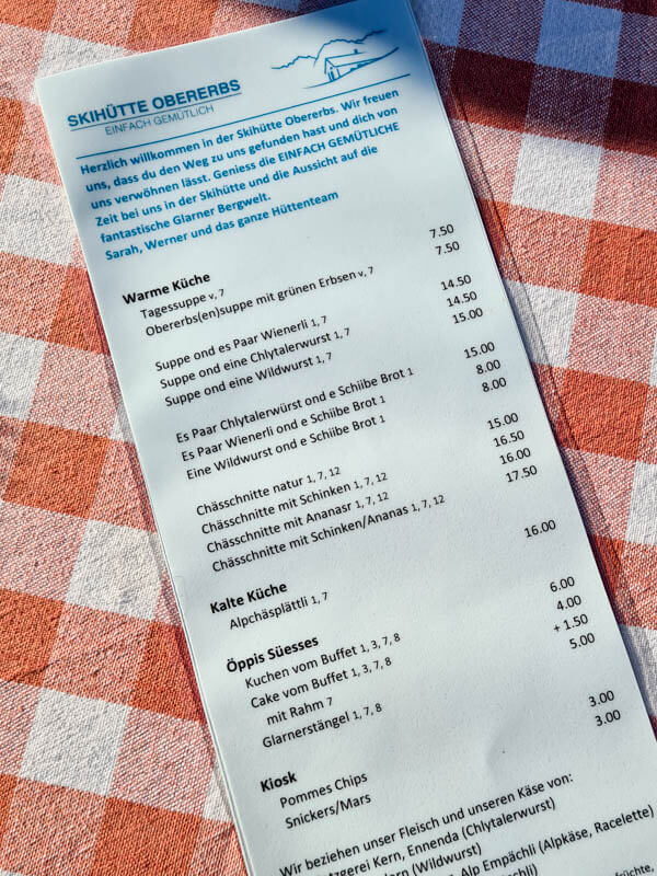
Simple hut menu.
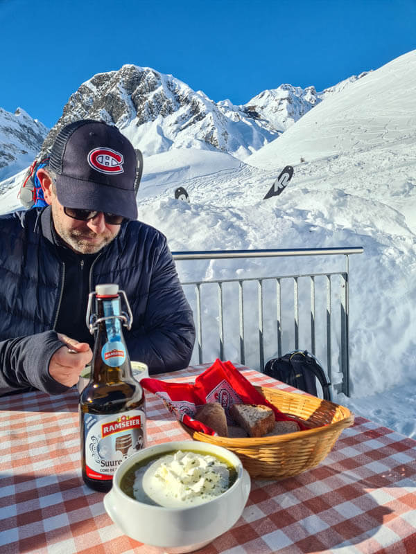
We had the pea soup, which was hearty and delicious.
Heading back on the trail, continuing the loop. This part is not a road, just a marked snowshoe route.

The prettiest part of the trail.
Then it got very steep and a bit difficult on snowshoes. I think this would be much easier going uphill.
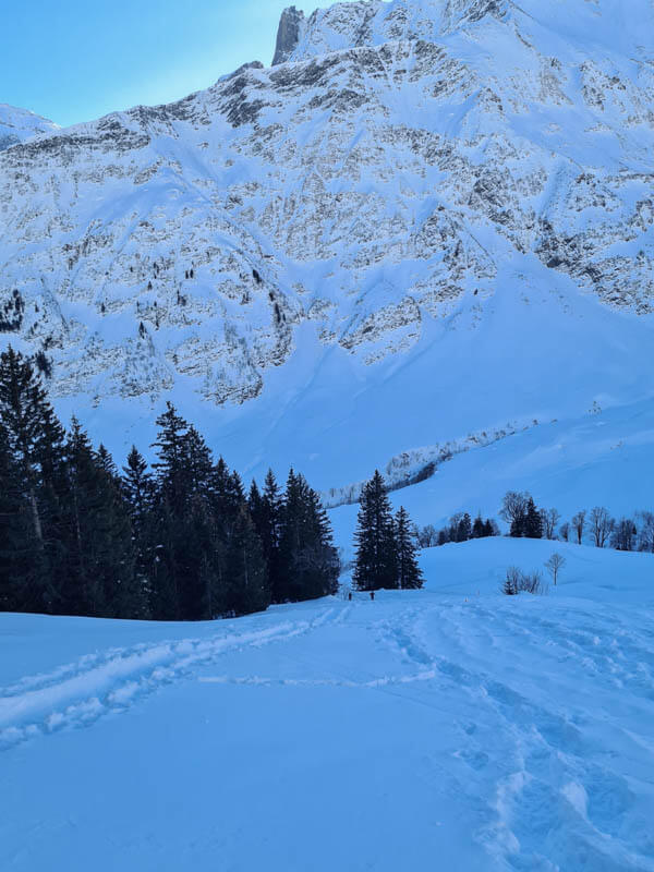
I made my own switchbacks so I could manage a bit better.
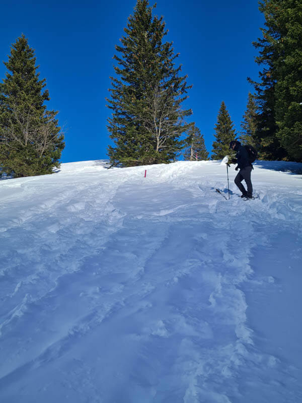
In the shade again, we got chilly and put on our layers and gloves.
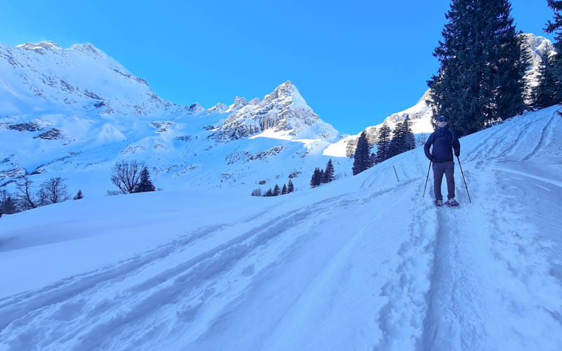
Such impressive mountains around this trail.
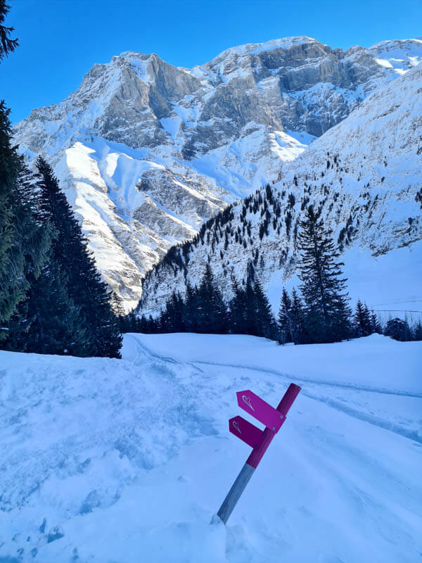
So happy for the clear blue skies!
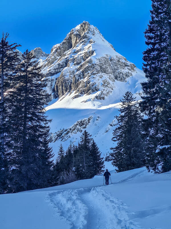
Almost done with the loop.

It took us about an hour to get down from the hut.
I hope you try this trail. I think you’ll love it!



