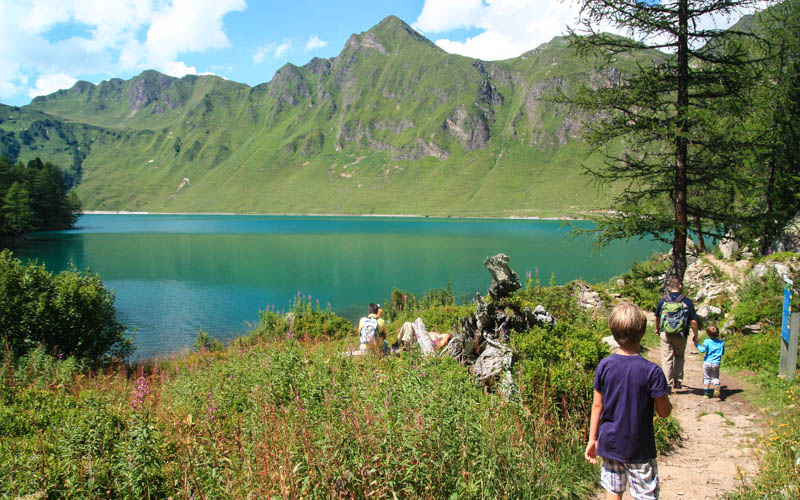
The Tomasee (aka Lai da Tuma) is a small mountain lake near Andermatt, a and source of the Rhine river (aka Rheinquelle).
The trail starts at the Oberalp pass and hikes steeply up a rocky path to reach this magical spring encircled by mountains. Despite its popularity, it’s a peaceful place with plenty of room to spread out.
After the lake, you can optionally hike a bit further to a mountain hut for lunch before looping back to your starting point.
If you’re up for a longer adventure, you can use this hike as a starting point for a hut-to-hut tour, linking to the Vier-Quellen-Weg visiting the source of four different rivers.
Weekend getaway? See more hikes in this Andermatt region.
Quick Info
| Region | near Andermatt • Canton Uri • Central Switzerland |
| Location: | Oberalp Pass |
| By car: | Parking at Oberalpass – 46°39’34.1″N 8°40’15.0″E From Lucerne 1hr15, from Zurich 1hr50 |
| By public transport: | Train stop: Oberalppass From Lucerne 2hr40, from Zurich 3h |
| Trail: | 4h30 • ⬇️ trail map |
| Distance: | 13.5 km |
| Difficulty: | moderate • 830m up & down |
| Terrain: | T2 • mountain trail with uneven rocky terrain |
| Elevation: | highest point 2367m |
| Open: | late June to early October |
| Cost: | parking or train fare to reach trail |
| Services: | restaurants at start and two mountain huts along the way |
| Where to stay: | |
| More info: | region webcams • Oberalppass weather |
Trail overview
This trail starts at the Oberalppass near Andermatt. This map shows an overview of the trail and some options.
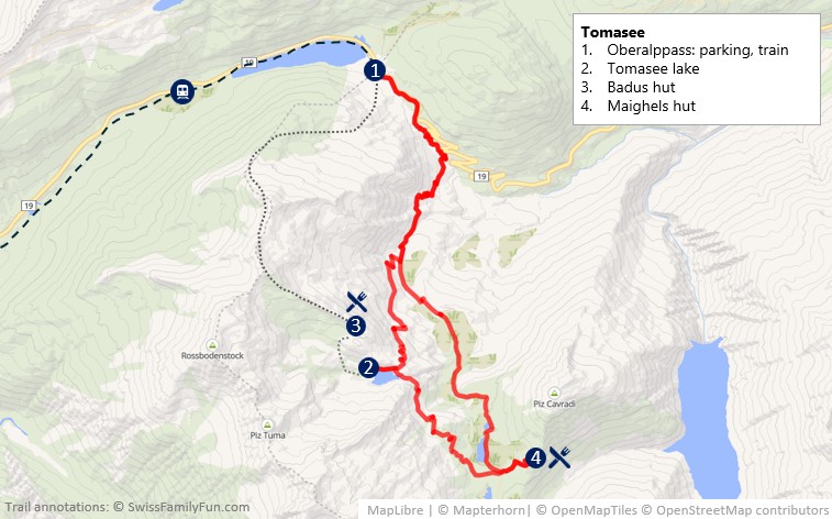
Flow of day:
- Our trail starts at the Oberalppass near Andermatt, which you can reach by car or train.
- From the pass, you first start downhill along the road. Note that the first part of the trail has been recently rerouted due to landslide. Follow signs showing the new trail. My maps here the new trail.
- After about 25 mins, you start the climb to the lake, about 90 mins more.
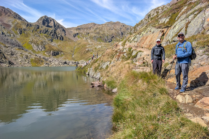
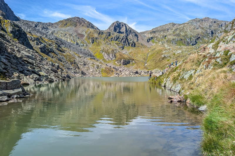
- When you reach the lake, continue on the trail along the water to the grassy area along the water for the best pics.
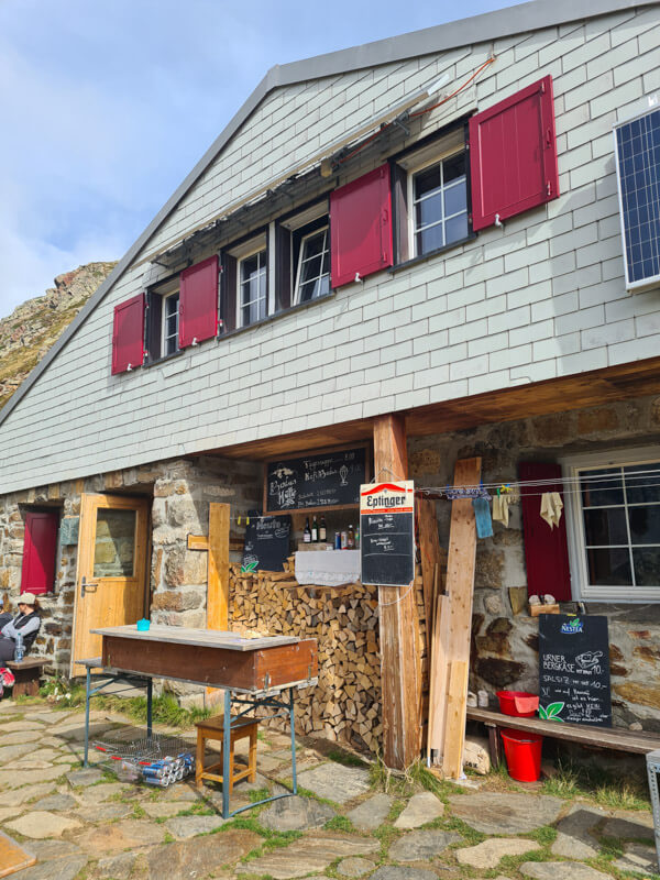
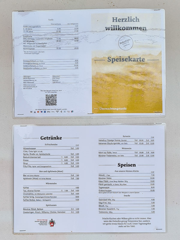
- You can optionally hike to the Badus hut above the lake for refreshments. From the lake, it’s about 1 km to the hut, ascending 161m. The hut has light snacks and drinks, not a full hot kitchen.
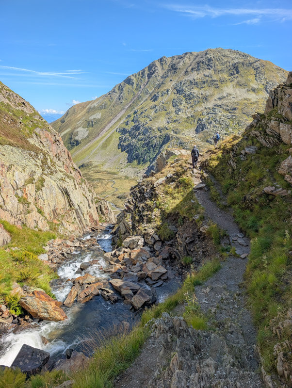
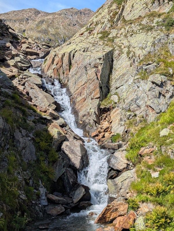
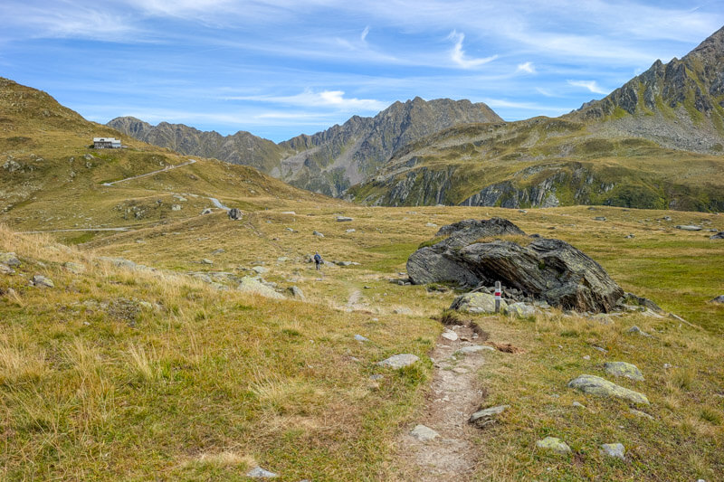
- After the lake, you can simply hike back the way you came (3.5h round trip walking time). But we suggest hiking back via the Maighels hut for lunch. On the way you’ll see some waterfalls and more lakes.
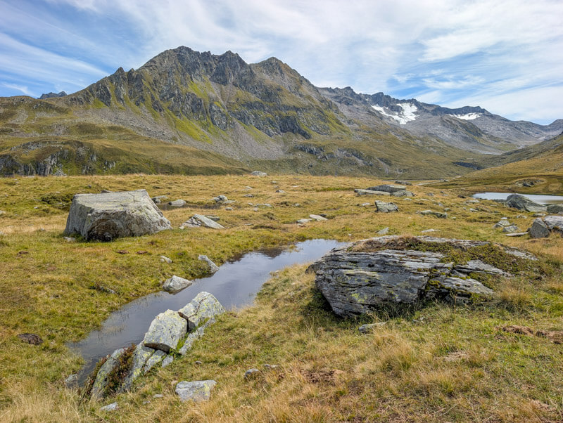
- After the hut, walk on a service road for a bit before rejoining the main trail leading back to the Oberalppass
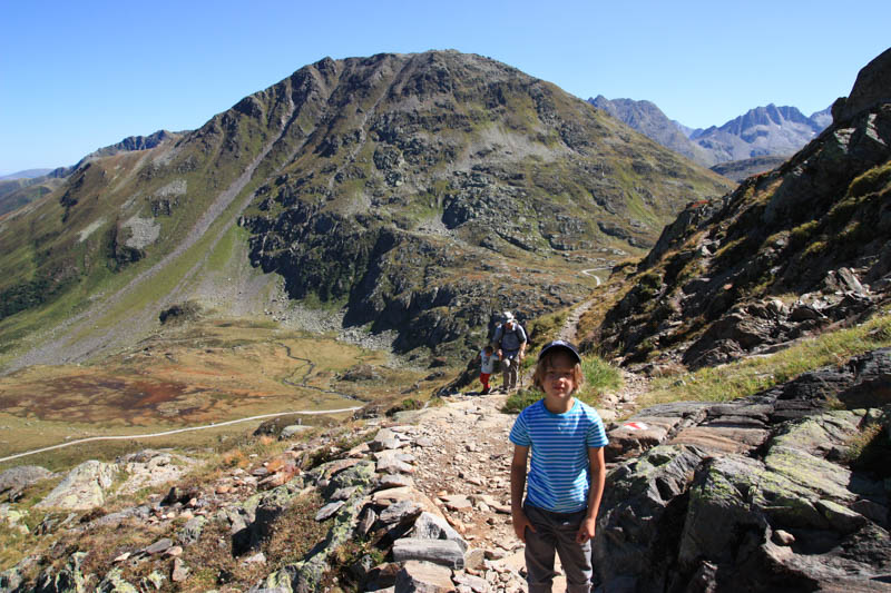
We did this trail once when our boys where little (youngest age 5) and hiked up and back. The ascent was very difficult for them and I was questioning my choices. But we saw a few other Swiss families with kids even younger than ours doing it just fine.
Hiking map
The map below shows the loop starting at the Oberalppass, leading to the Tomasee lake, returning via Maighels hut.
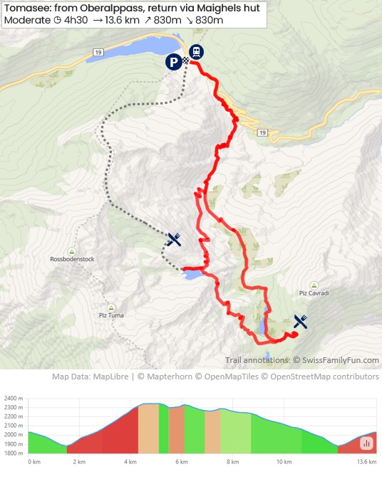
See trail map on SchweizMobil • Komoot • OutdoorActive
This is a dirt footpath, with uneven terrain and lots of rocks. No strollers.
Love this hike? Next time try hiking to the source of the Reuss river.
Shorter version: Up & Back
For a shorter day, hike up and back the same way. The return trail is 9.5 km, 688m up & down, about 3.5 hours walking time.
See “up and back” trail map on SchweizMobil • Komoot
Harder version: Loop over Pazolastock
We also like the loop starting from the Oberalppass, which hikes over the Pazolastock peak before reaching the Tomasee lake. It’s a 10 km loop with 900m elevation ascent/descent. It is a well built trail but has a few exposed areas.
See trail map. Get details for this trail here.
How to get there
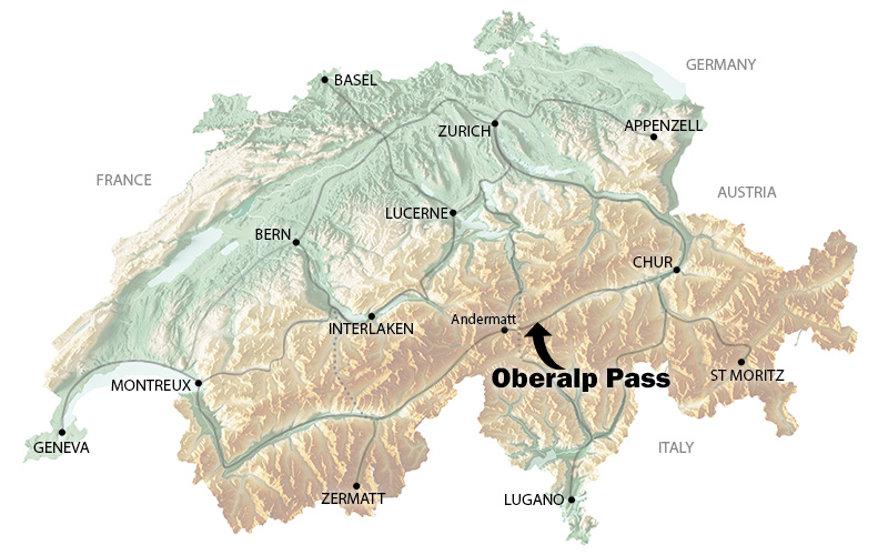
This trail starts at the Oberalppass near Andermatt, south of the Lucerne. You can reach this area by car or train.
By public transit:
Take a train to Göschenen > Andermatt > Oberalppass. The trail starts right near the train station.
- Timetable Luzern > Oberalppass. Travel time about 2h20.
- Timetable Zürich HB > Oberalppass. Travel time about 3h.
- Timetable Lugano > Oberalppass. Travel time about 2h20
By car:
Drive to the Oberalppass. There is a big parking lot next to the restaurants. You can pay for parking via the EasyPark app or at the meter.
If you are coming from Zürich/Luzern, you will drive towards the Gotthard tunnel. If there is a traffic backup at the tunnel, your GPS will usually have you get off the freeway at the Erstfeld Exit 37 or Amsteg Exit 38 and continue on local roads towards Göschenen and Andermatt.
Where to stay
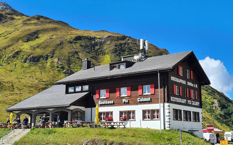
For an early start on the trail, Berggasthaus Piz Calmot is right at the Oberalppass parking. For room types, they have double, triple, and a family room with 2 twins and bunks. Some rooms have private bathrooms, others are shared.
For a convenient base for exploring the region, best at stay in Andermatt, which has a variety of accommodations, restaurants, and services.
For upscale accommodations, we loved our stay at the Alpine Apartments. It’s located part of new modern alpine village near the Andermatt train station, also home to the beautiful Radisson Blu Hotel (4*). For full luxury, you’ll be spoiled at The Chedi Andermatt (5*), with an Asian twist on Swiss tradition.
If you prefer to be in the charming village center, our top pics would be Boutique Hotel The River House (3*) or Sonne Andermatt Swiss Quality Hotel (3*), both a short walk from the train station.
Mountain hut stay
From Tomasee, you can reach these mountain huts for an overnight:
- Badus hut: 25 mins hike directly above the lake
- Maighels hut: 1h hike from the lake (2.5 km +140 -184)
- Vermighels hut: 3h from the lake (9.1 km +386m -704m)
- Cadlimo hut: 4h from the lake (10.3 km +804m -596m)
This hike is part of stage 1 of the multi-stage Vier-Quellen-Weg (shown below), which visits the source of four rivers (Rhein, Reuss, Ticino und Rhone), staying in mountain huts along the way, 86 km over 5 days.
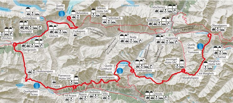
Photo story
1. Arriving at Oberalppass
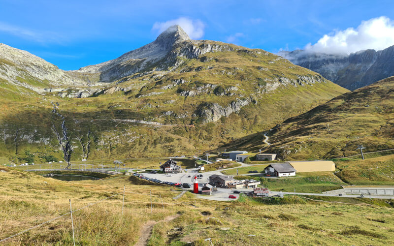
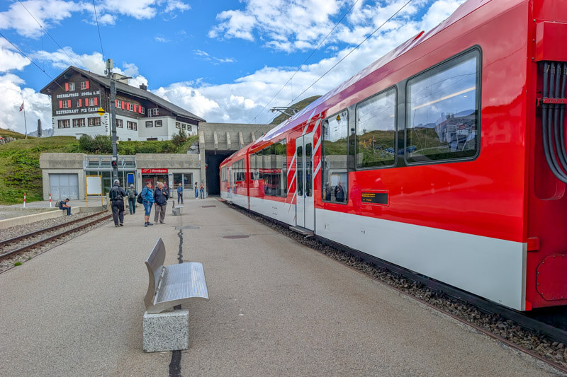
These pictures show the Oberalppass parking and train station.

Here’s the Oberalppass train station. There are free toilets here. No ticket office.
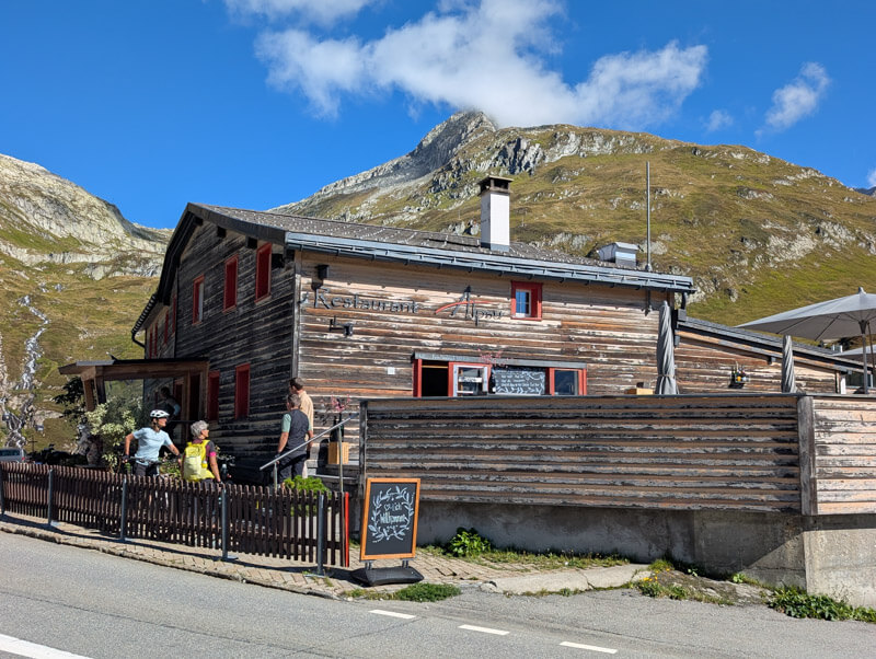
At the pass, there two restaurants and info center near the parking: Gasthaus Piz Calmot and Restaurant Alpsu.
2. Starting the trail
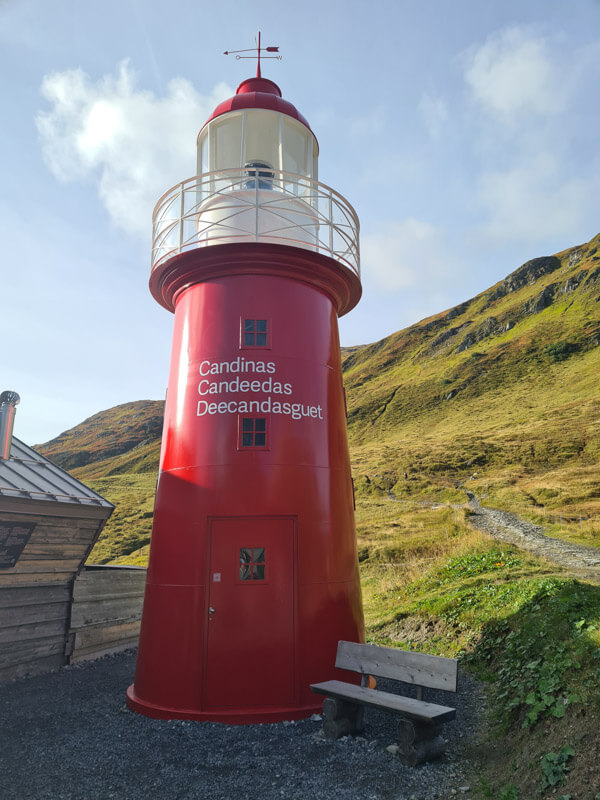
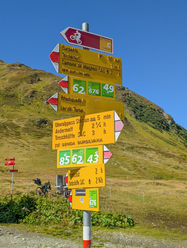
Our trail starts near the lighthouse, following signs to Lai da Tuma / Rheinquelle.
The trail starts downhill along the road.
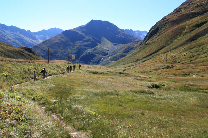
A pretty start.
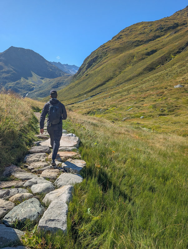
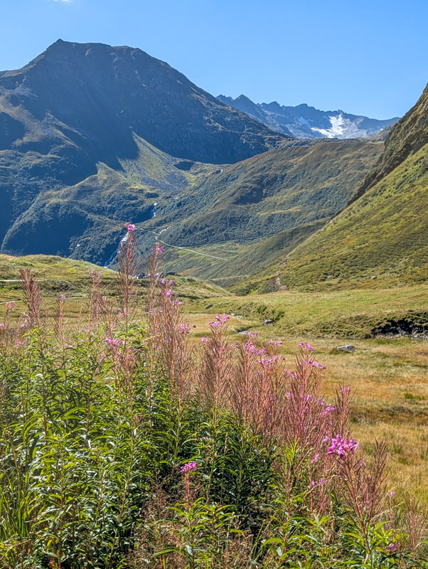
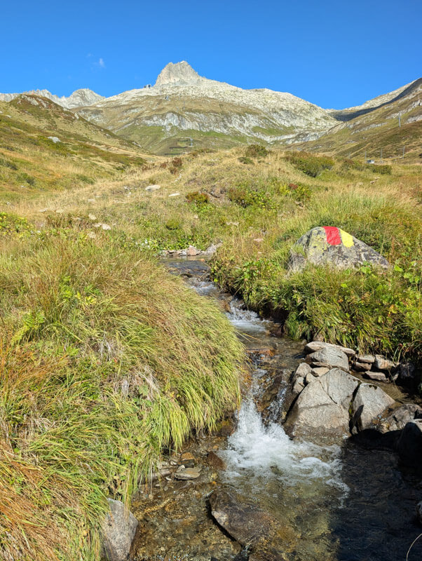
Here’s where the old trail is blocked and the new trail leads lower down the mountain. This is due to a rockslide that destroyed the upper trail.
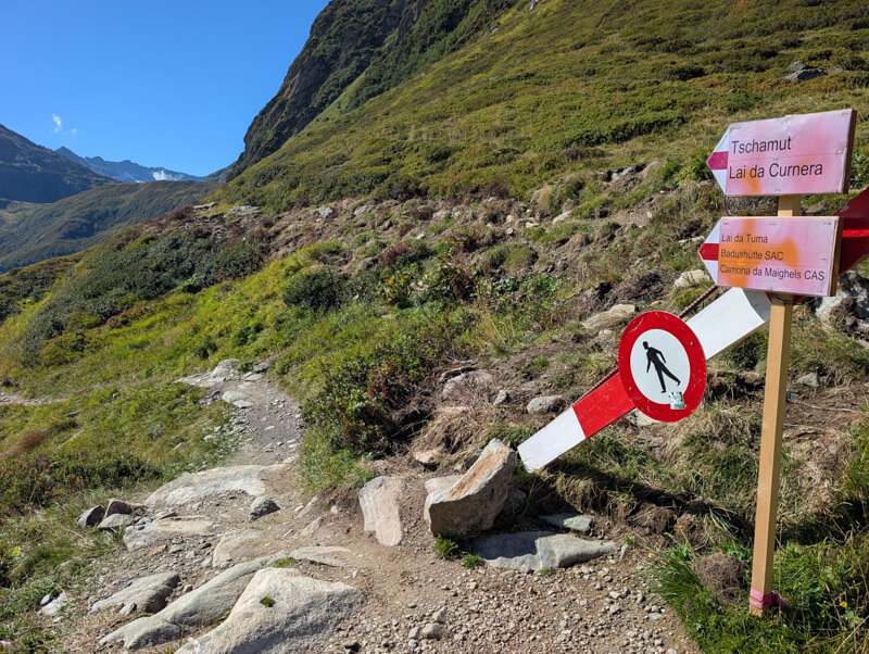
It’s a little discouraging to hike down when you know you’ll be hiking right back up very soon. But safety first.
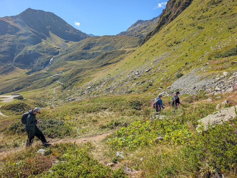
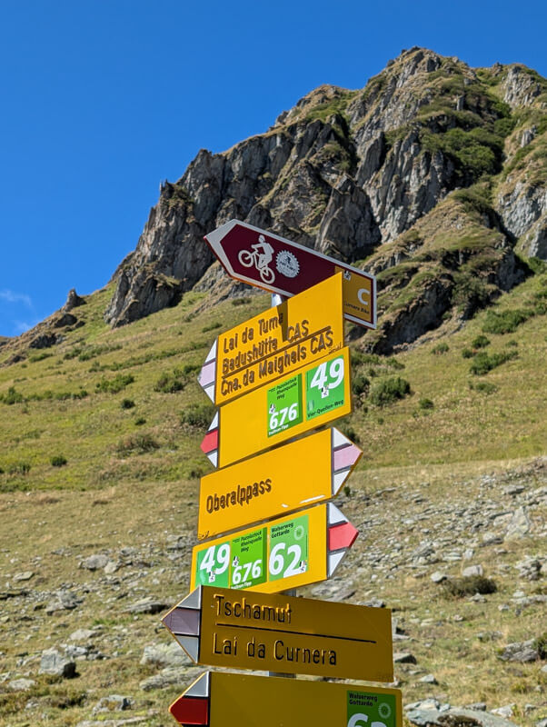
Continue following signs for Lai da Tuma.
Looking east at the road to the Oberalppass. This part is quite noisy with all the motorcycles and cars speeding up the road.
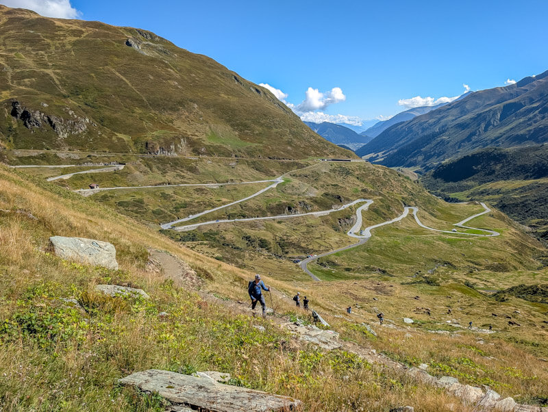
3. Uphill to the lake
Now the rerouting is over and you join the original trail again.
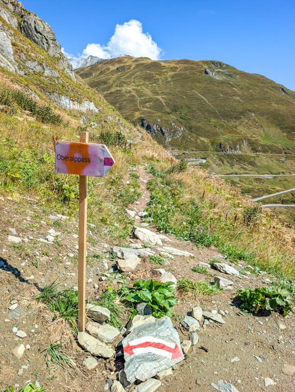
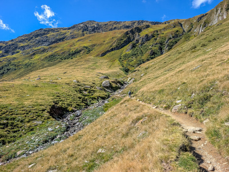
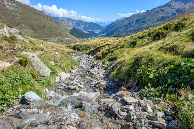
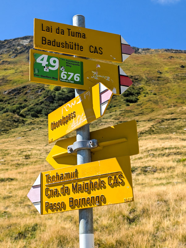
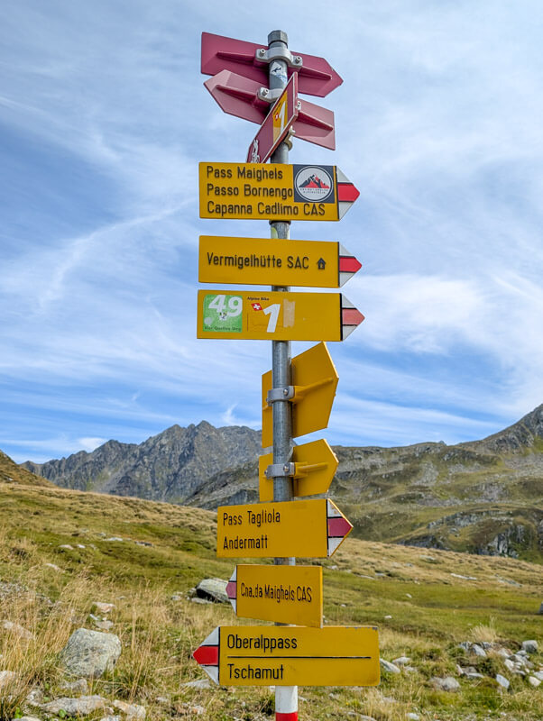
At this sign, fork right direction Lai da Tuma. You will visit the Maighels hut later.
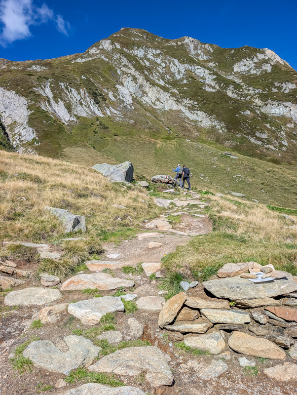
Looking back on the trail.

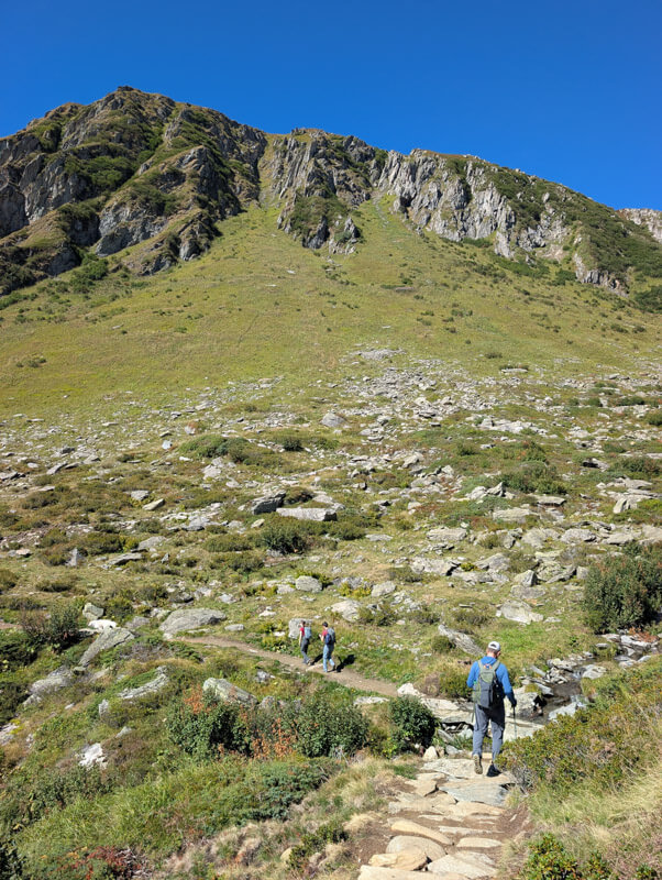
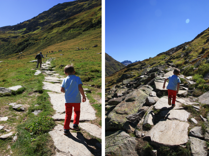
The trail gets a little rocky.
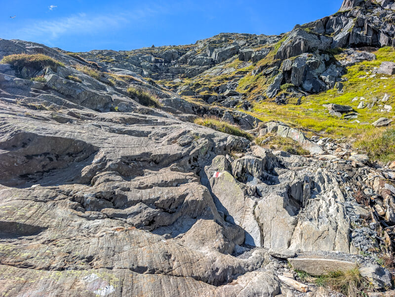
This part is just rock. It’s not dangerous, but pick your way carefully, looking for the trail signs.
Looking up the valley, you can see the Maighels hut in the distance. We’ll get there soon.
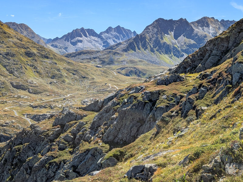
Are we there yet? Little did we know we were just a couple minutes away. We almost quit here because we didn’t know how much farther it was and our boys were pretty grumpy.
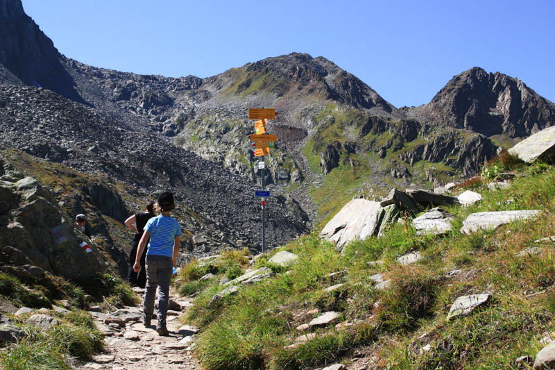
Let’s just see what’s just beyond this trail sign…
4. At the lake
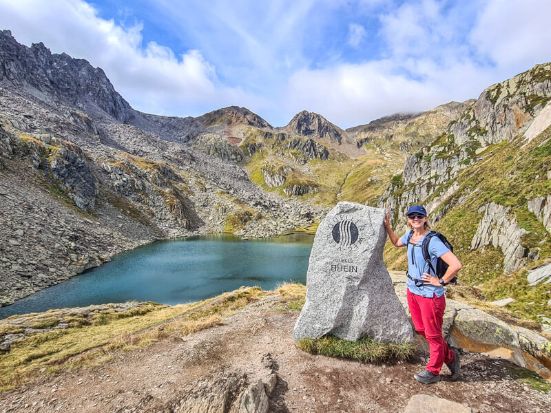
We made it!!! The source of the Rhein: Lai da Tuma (aka Tomasee).
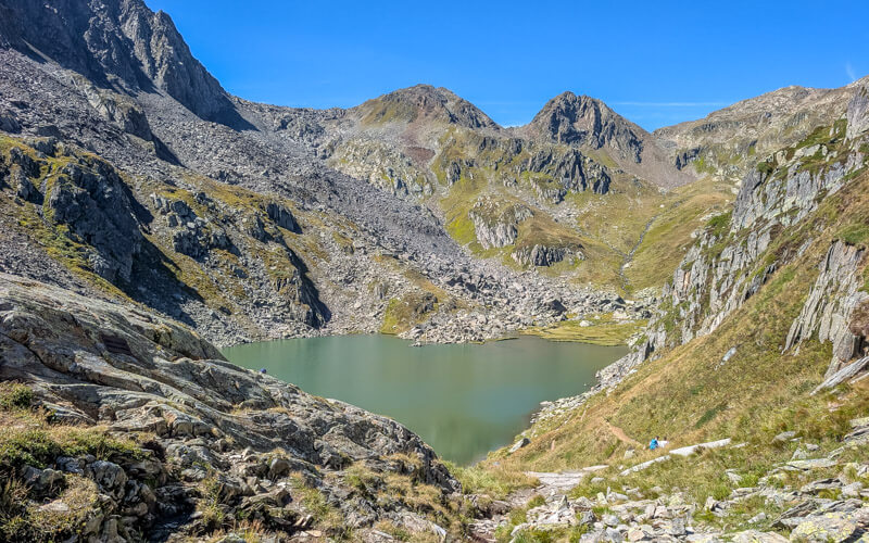
Before descending to the lake, walk up the rock at the entrance to get this view with the Rheinquelle sign.
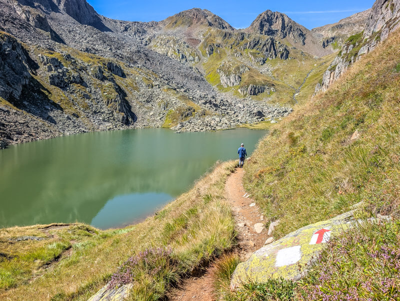
Now follow the trail down along the right side of the lake.
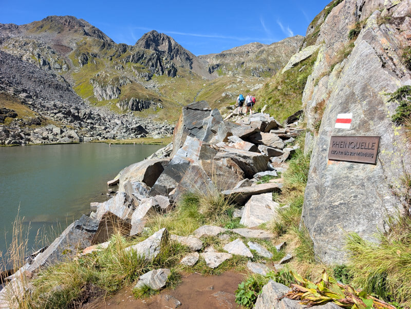
The trail gets very rocky, but not dangerous.
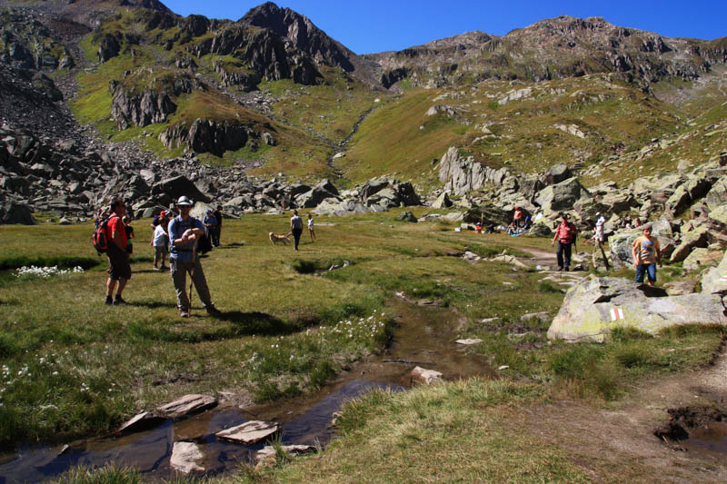
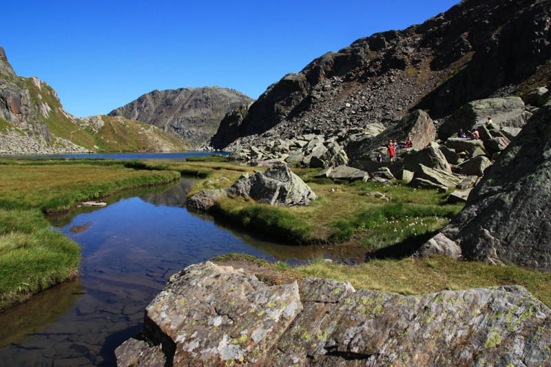
On our first visit, we were surprised to see so many people here! I was disappointed at first but it was easy to find a spot to ourselves.
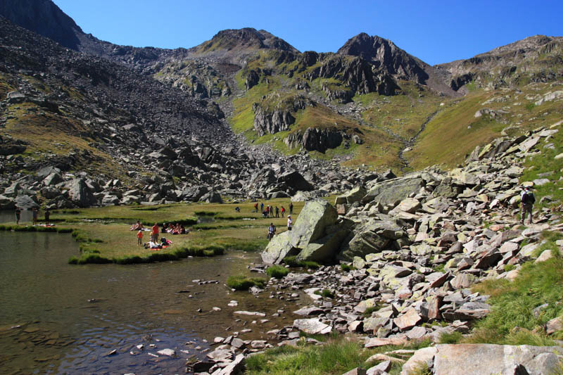
Absolutely magical.
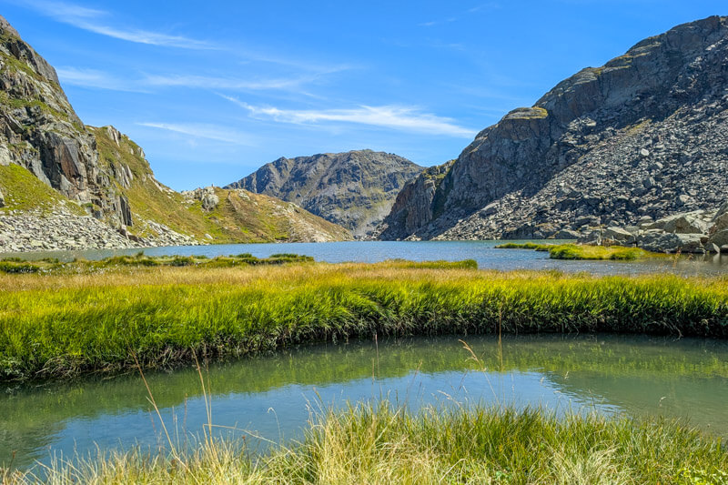
It’s a bit marshy, so waterproof shoes are helpful.
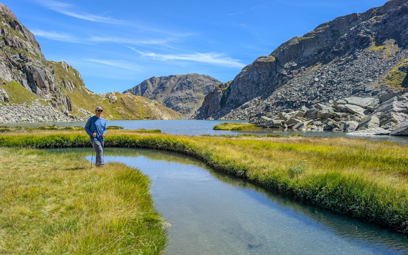
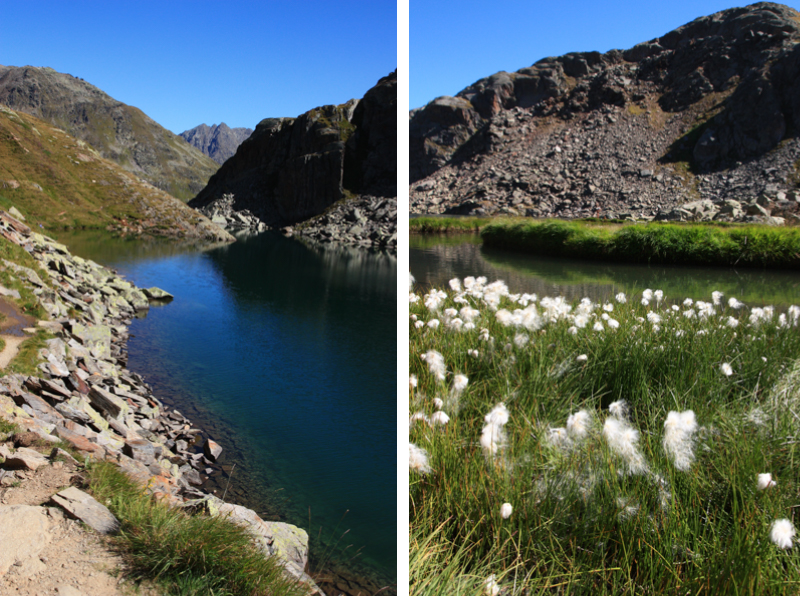
Exploring a little upstream.
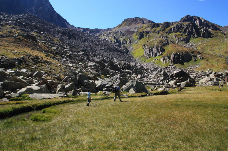
The trail continues up and over those mountains to a mountain hut and back down to Oberalppass. But we went back the way we came.
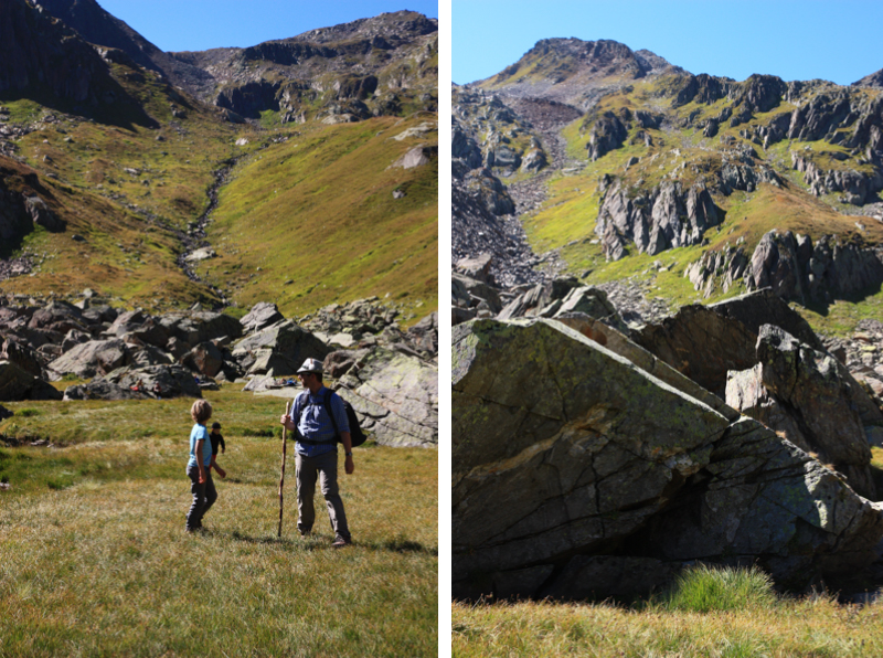
Looking for a place to ourselves.
5. Detour to Badus hut
If you are not hiking to the Maighels hut for lunch, you could hike to the Badus hut, directly above the Tomasee, about 20 mins hike (1km, 166m up).
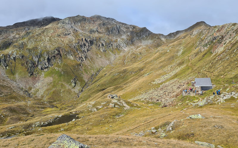
They serve light snacks and drinks (no alcohol). They also offer overnight stays. We prefer to hike to Maighels hut for lunch.
6. Hike to Maighels hut for lunch
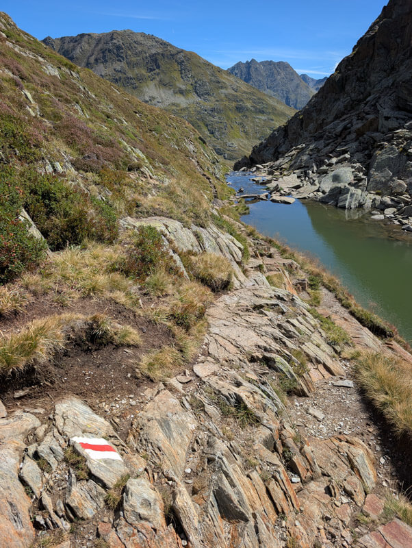
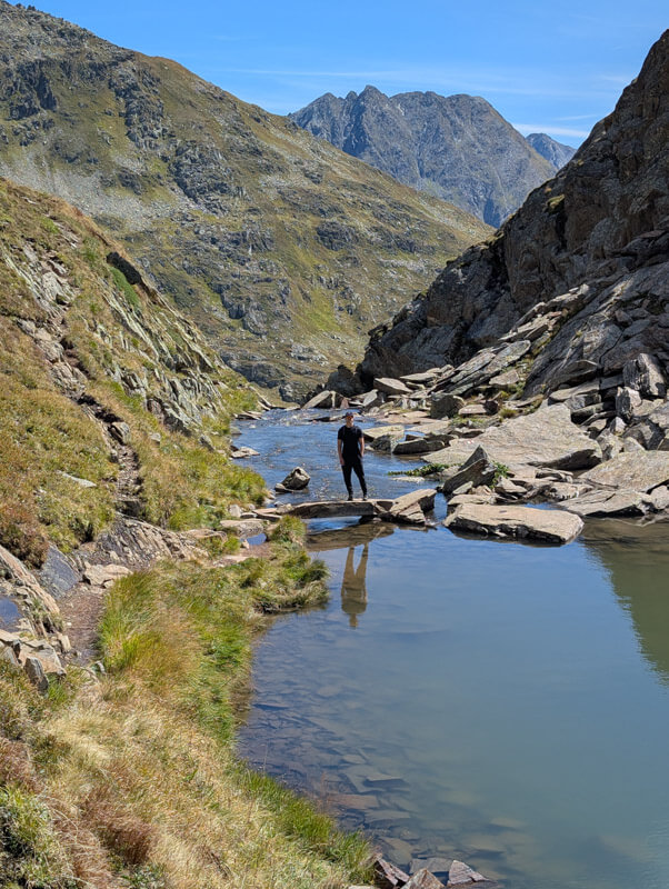
For a shorter day, simply hike back the way you came. But instead, we suggest hiking to Maighels hut for lunch. The views are fantastic and you get a very tasty Rösti.
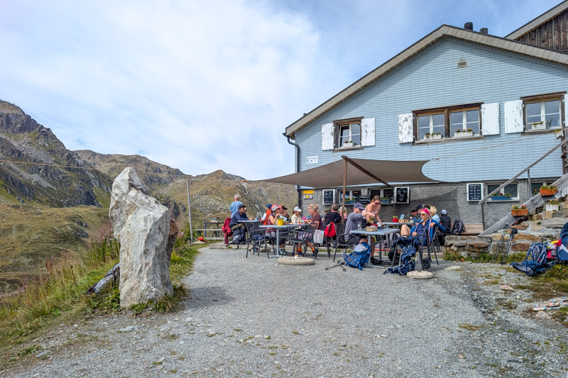
Lunch at Maighels hut
There are a bunch of tables outside the hut. On weekends, they usually take your order at the table. Otherwise, go inside the hut to order at the kitchen. There is a WC inside the hut.
We all had the Rösti, which was very tasty! I loved the homemade apfelschörle, not too sweet.
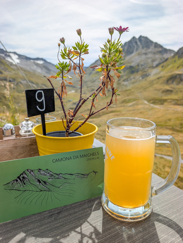
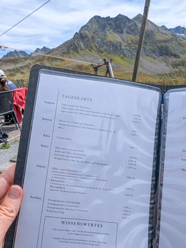

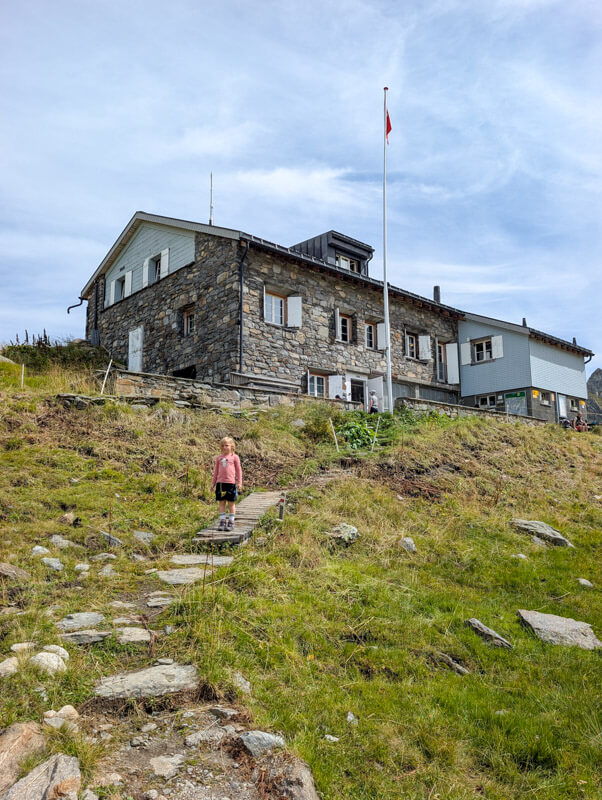
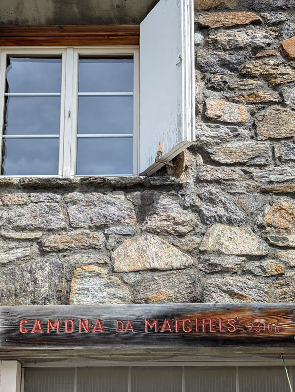
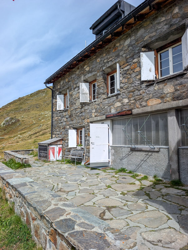
A few views of the exterior of the Maighels hut. You can stay overnight here, a good option if you are doing hut-to-hut and want a shorter hiking distance to the next hut: Cadlimo or Vermigels.
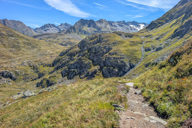
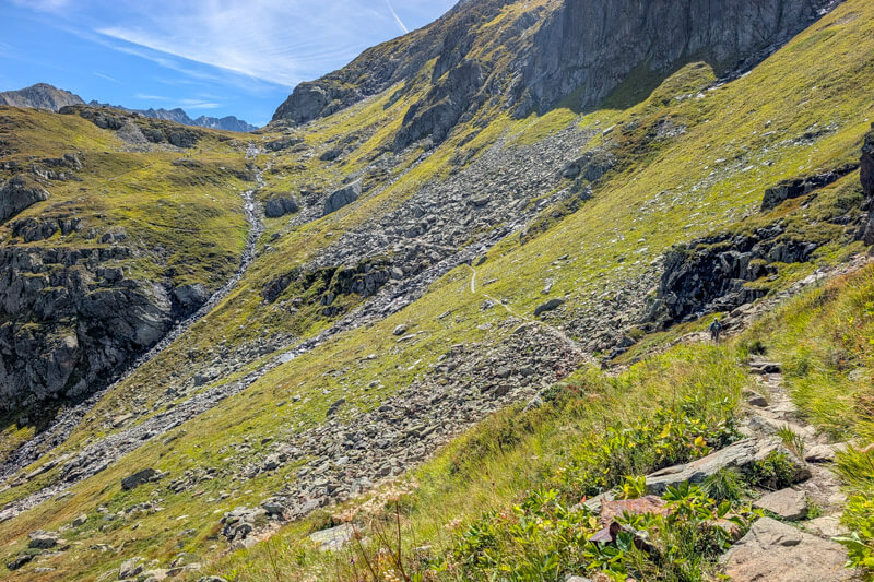
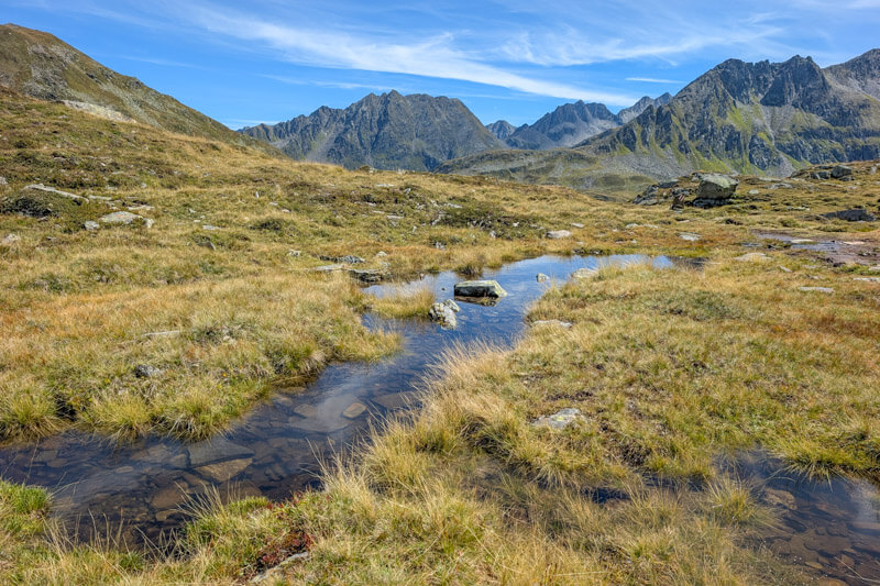
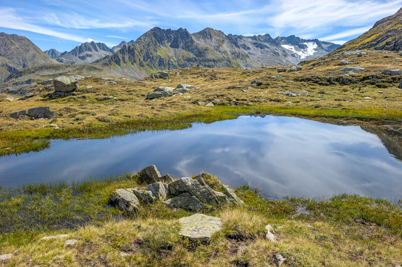
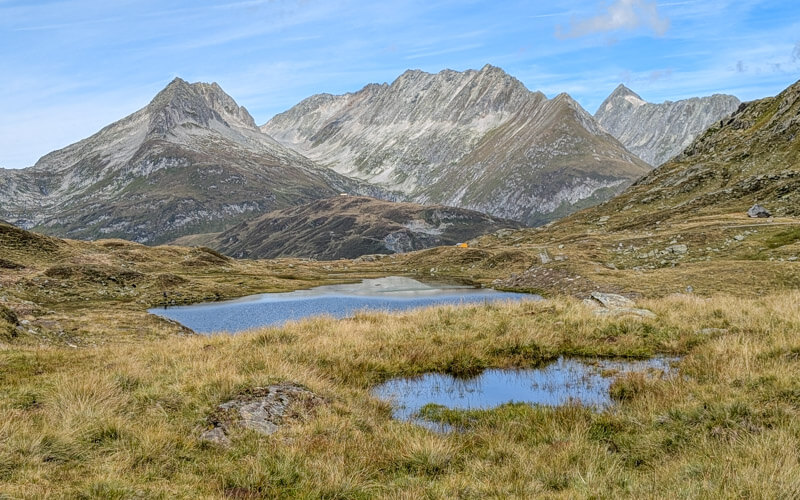
After lunch, follow signs back to Oberalppass. You’ll start on a service road, passing by these little lakes.
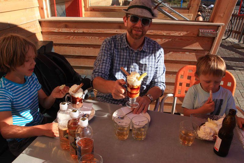
The first time we did this hike, we stopped at the restaurant next to the Oberalppass parking for ice cream sundaes as a reward for all our hard work.