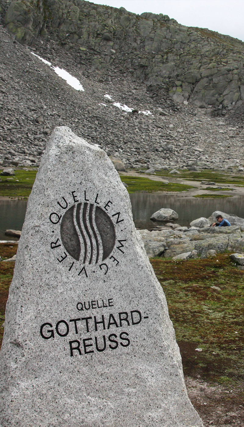
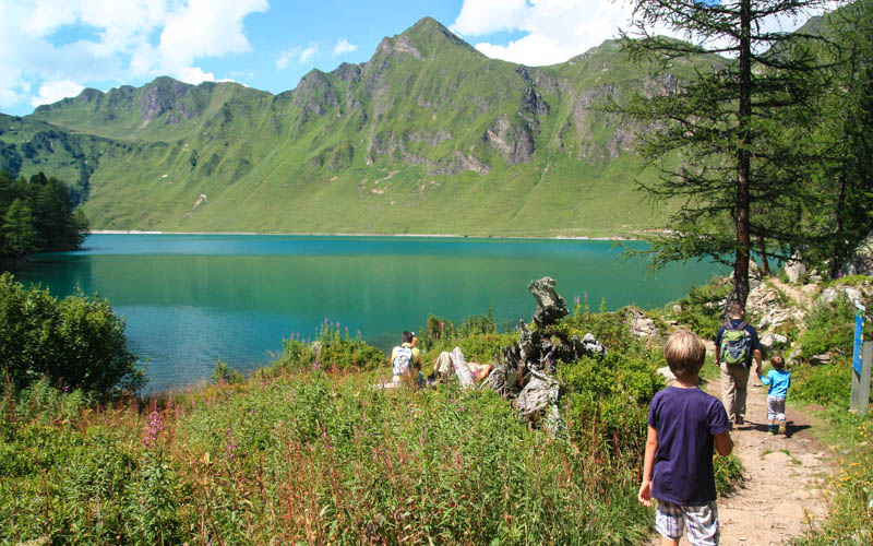
This beautiful hike near the Gotthard Pass starts along a big reservoir before heading up the rocky mountain to the source of the Rhein river, a bubbling spring nestled in the rocky peaks. It’s a nice hike with lovely scenery, a good option if you want to avoid gondolas. It was a bit long for our little kids (5 and 9 at the time), but they did fine, especially since the way back, which was mostly downhill.
This hike is part of third stage of the long distance “Vier Quellen Weg” that hikes to the source of four rivers (Rhein, Reuss, Ticino und Rhone), 86 km over 5 days. The full hikes are too long for our kids, ranging from 13 to 21 km. But you can hike each river source as a shorter day hike, which is much more appropriate for families with small children.
We have also hiked part of stage 1 to the Rheinquelle, source of the Rhein river, which we liked a bit better than this hike.
| Location: | Ticino Switzerland |
| Address: | Gotthard Pass, near Via S. Gottardo, 6780 Airolo |
| Car: | Parking GPS: 46.562663, 8.551592 ~1hr40 mins from Zurich |
| Transit: | Bus stop: to Gotthard Passhöhe 2hr45 mins from Zurich |
| Trail: | 11 km round trip, about 4 hours with kids |
| Elevation: | highest point 2480m |
| Condition: | part dirt road, part dirt mountain trail (T2) |
| Skill: | moderate, 420m elevation ascent/descent |
| Open: | July to early October, weather dependent |
| Cost: | free |
| Services: | none on trail |
| More info: |
Location
The Reussquelle is located near the Gotthard pass (see on Google Maps). The trail head accessible by car or bus.

Hiking map
My map starts at the parking near the dam. If you start at the Gotthard Pass bus stop, add
This hike starts a bit north of the Gotthard pass, at the bottom of the Lake Lucendro dam. First you hike up to lake, walk along the lake, then hike up the mountain to the spring. The first half of the hike is on a dirt road (ok for all terrain strollers) until you leave the lake, then it turns into a narrow dirt and rocky alpine trail the rest of the way to the spring.
See trail on Komoot • SchweizMobil
In this same area, you can do a loop hike to several alpine lakes above the reservoir. See Gotthard 7 Lake Hike.
Services
You should bring all the food and water you’ll need for the day. While there are restaurants at the nearby Gotthard pass, there are no services along the trail. There was one farm on the far side of the lake, but it didn’t seem to have a cafe or farm shop. We didn’t see any fountains for water. There are no trees, so no wood for a fire. We brought a mini disposable grill so we could cook our lunch at the top. But probably better to just bring a cold picnic.
When to go
Because of the high elevation, this area can have snow well into July, depending on the weather. Our first time, we tried to go in the middle of June. But when we got there, there was a meter of snow packed on each side of the road and people were snowshoeing. Whoops, we should have checked the weather report. There isn’t a webcam at the pass. But the Oberalppass webcam is nearby and similar elevation.
We came back on a sunny day in mid September and it was clear of snow, but a little cold and windy at the top. We all wished we had thicker jackets and our boys huddled under a tarp while we cooked lunch.
Here is a map of the full Vier-Quellen-Weg. This hike is part of stage 3.

How to get there
Verify that the Gotthard pass is open for driving and that the trails are clear of snow before heading out. passosangottardo.ch
By car: Drive to the Gotthard pass. Ideally you would park right under the dam as shown below (46.562663, 8.551592).
This shows the roads leading to the bottom of the dam. On the right, you can see the parking lot close to the dam and the road leading up to the dam.
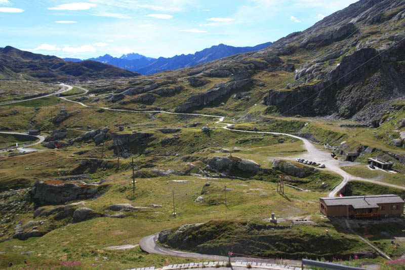
When we were there, that road way blocked. So instead we parked near Felsenhotel La Claustra, a hotel inside an underground bunker. You can’t park in their lot, but there is a dirt lot across the street (GPS: 46.562714, 8.556716). Then follow one of the footpaths that lead to the base of the dam.
By transit: Take a train to Airolo, then a bus to the Gotthard Passhöhe, then a 1.7 km walk to the dam, following trail signs to Lago di Lucendro.
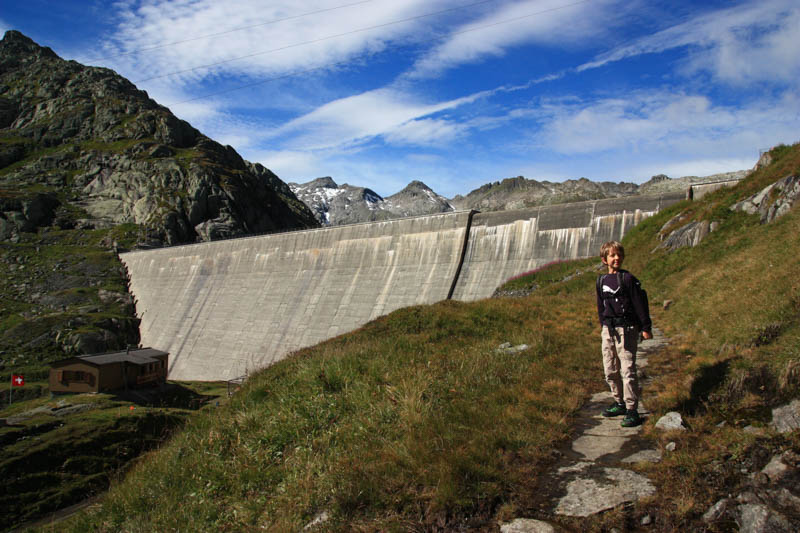
Here we are in the parking lot. From here you can follow the dirt road up to the dam or the narrow footpath that joins up with the dirt road at the top of the dam. I recommend the footpath as you get some nice higher up views of the lake than the road.
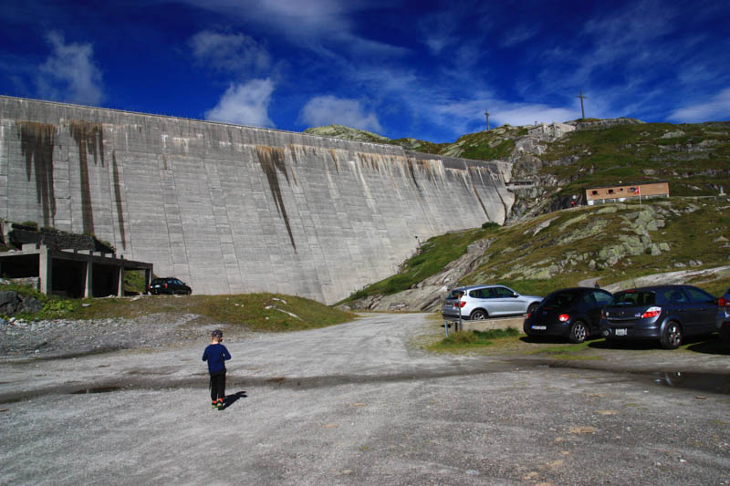
Photo story of the trail
On the footpath to the top of dam.
Lucendro Lake

Don't miss out on today's trending deals!
Join thousands of users enjoying exclusive benefits right now.
Walking on the dirt road along the lake.
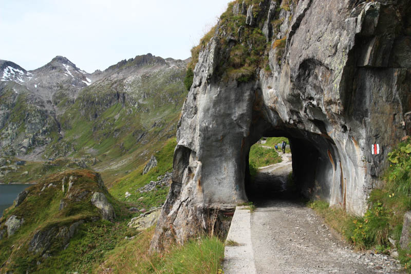
Looking back at the dam.

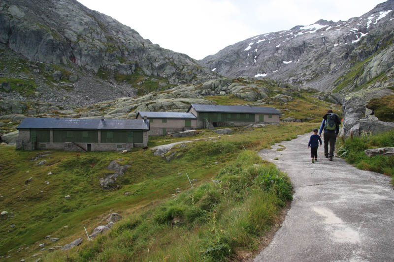
Almost to the far side of the lake.

A farm or something but all closed up. No services, at least the day we were there.
Looking back at the lake as we start to climb up.

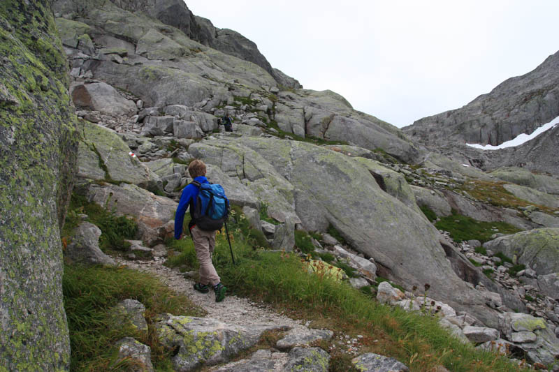
The trail narrows as you head up the mountain. This sign gives some instructions about trail etiquette when sheep herds are loose in the area, also warning that guard dogs will protect the herd if you get too close.
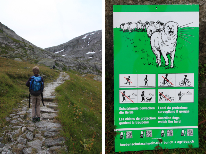
Rocky ascent.
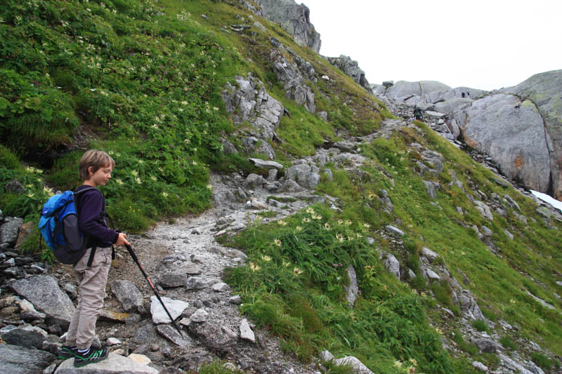
Two hours later we made it to the Reuss Quelle. Congratulations!
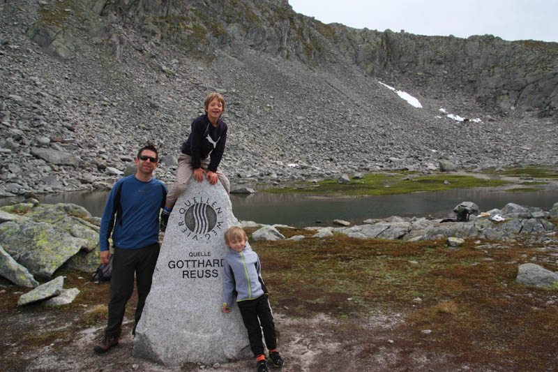
It was a calm peaceful spot, not spectacular like the source of the Rhein, but we liked it. We had our picnic here among the rocks. It was very cold and windy in this spot in mid-September. Be prepared for shifts in weather.
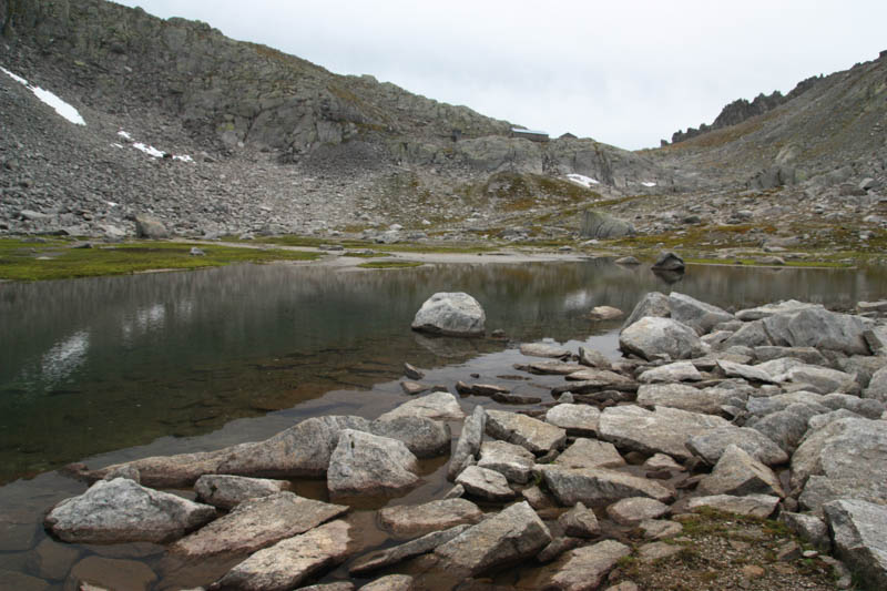
The trail continues into the mountains and on to the next river source. But we just headed back the way we came, as shown below. It was chilly up so you can see we had on double jackets, hats and gloves.

Making our way back down, happy for the sunshine.
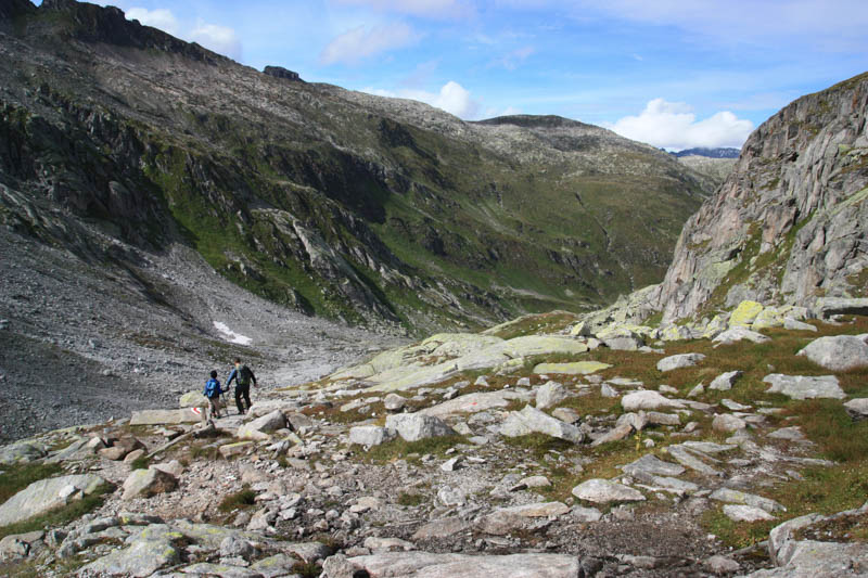
The way back was slightly faster than the way up, but not by much.

You might also like…
Hike to the Rheinquelle & Lai da Tuma
Don’t forget to Pin this for later…