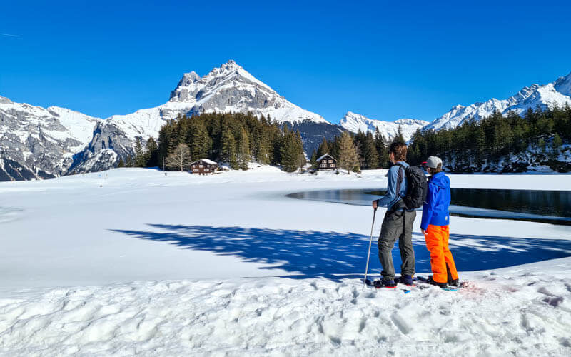
This beautiful snowshoe trail is super affordable since you can drive directly to the trailhead, no gondola required. It has a tough climb at the beginning that requires some endurance. But it’s relatively short and rewarded by a fabulous panorama view at the top. Then a mellow descent, wandering through forests and meadows, and finally joining the groomed winter walking trail that leads you back to the start.
| Region: | Mythen Region, Central Switzerland |
| Start/End: | Ibergeregg pass |
| Car: | Metered parking (47°01’02.9″N 8°44’00.2″E) about 1hr from Zürich |
| Public transport: | bus does not run to Ibergeregg in winter, alternative starting point described below |
| Trail: | 4.5 km loop, about 1hr45 |
| Elevation: | highest point 1595m |
| Skill: | moderate, about 210m up & down |
| Condition: | marked trail, snowshoes required |
| Services: | restaurants along the trail |
| Cost: | free |
| Open: | mid-December to April, snow dependent |
| More info: | www.ibergeregg.ch • webcam |
Location
This snowshoe trail starts on the Ibergeregg pass, in the mountains west of Lucerne and south of Zürich. It is accessed by narrow winding mountain road from either side of the pass. This road is regularly cleared of snow, but check the Ibergeregg website for any alerts about traffic conditions. There is a bus service in summer, but not winter.
Ibergeregg overview
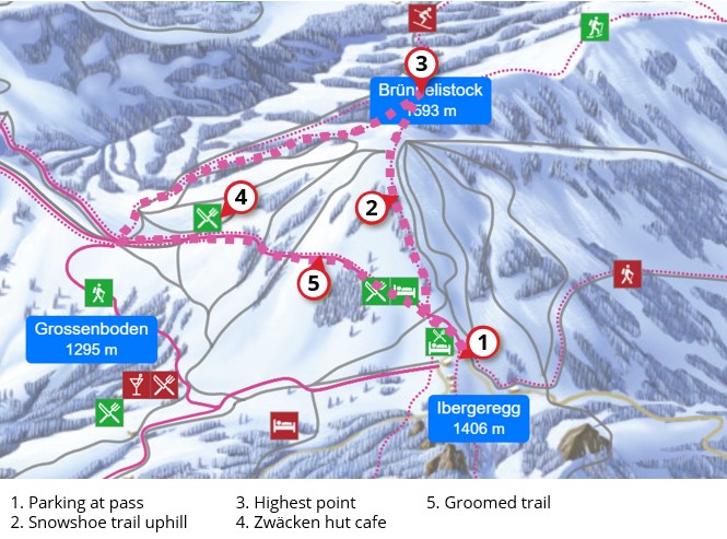
Here’s the winter map for Ibergeregg. I’ve marked our snowshoe trail with a thick dotted pink line. See an interactive map on the Mythen Region website.
Trail map
Our trail is a triangle from Ibergeregg to Brünnelistock to Müsliegg and back to Ibergeregg. The trail starts at the Ibergeregg pass and hikes up to Brünnelistock on the side of the ski piste. The snowshoe route may not exactly match my trail map below. Just follow the pink poles and signs.
If you are coming by bus, you’ll have to start hiking at the top of Holzegg and hike across to Müsliegg on the winter hiking trail before joining the snowshoe trail.
See trail map on Komoot • SchweizMobil • OutdoorActive
Getting there
By car: The trail starts at the top of the Ibergeregg pass (47°01’02.9″N 8°44’00.2″E). There is a narrow winding mountain road on either side of the pass. I find the eastern approach a bit nicer to drive. But just take whichever way is closer to you. This road is regularly cleared of snow, but check the Ibergeregg website for any alerts about traffic conditions.
At the pass, there is lots of metered parking, some along the road. Don’t forget to pay the parking fee. Since there is a small ski hill here, the parking can fill up very quickly on weekends. There is a second parking lot slightly down the hill on the west side (see on map). Parking costs CHF 3 for 3 hours, CHF 5 for 4-12 hours. You can pay with the e24 app or by SMS.
By public transport: Unfortunately, the bus does not run to Ibergeregg in winter. Instead you take a bus to Brunni-Alpthal, ride a cable car to Holzegg and start the trail there.
What to bring and wear
You’ll need snowshoes and hiking sticks with snow baskets. There is no snowshoe rental at Ibergeregg. So you’ll need to rent them before coming. You should wear waterproof hiking shoes, to which the snowshoes will attach. You should wear warm layers appropriate to the weather forecast and waterproof outer layers to stay dry in the snow.
See also What to pack & wear on a winter hike
Where to eat
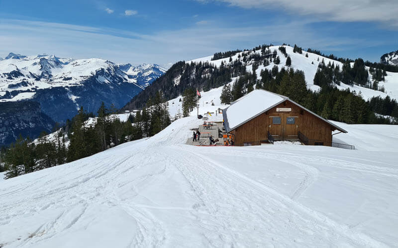
Alpwirtschaft Zwäcken (see on map) is a mountain hut cafe near the Müsliegg along the trail. The Sonnenhütte restaurant (see on map) is near the end of the trail, near the parking.
Photo story of the trail
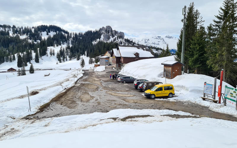
Here’s the parking at Ibergeregg pass. We did this trail on 10 April 2021, when the Ibergeregg ski resort was already closed for the season, so it was very quiet. It would be a much different experience in the middle of a busy ski day. I might suggest doing this in the afternoon, when most skiers are leaving.
The trail starts straight up the ski hill, towards Brünnelistock. This part was pretty tough, gaining about 190m over 1km.

Looking back down at the parking from the start of the trail.

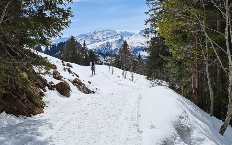
Happy to reach the top of the climb. Fantastic views from up here!

The snow was already melted in parts, but still enough snow for snowshoes.
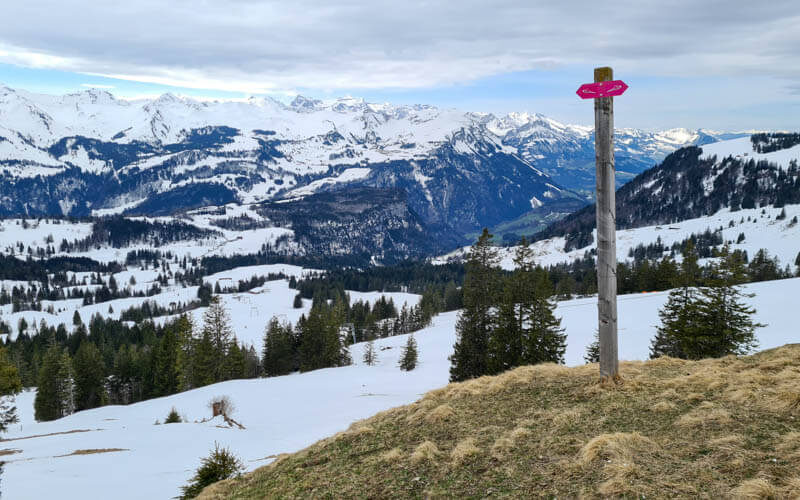
Happy to find a bench up here to rest. At the top, the snowshoe sign was a little hidden. So we had to search around a bit to find the trail.
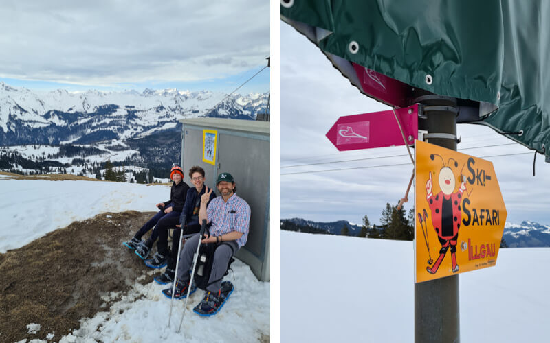
Heading across the meadows, away from Brünnelistock.

I stayed high on the ridge, while my family took the lower trail. Can you see them?
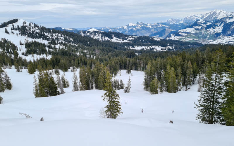
Our trails joined here. It was a little steep coming down off the ridge.
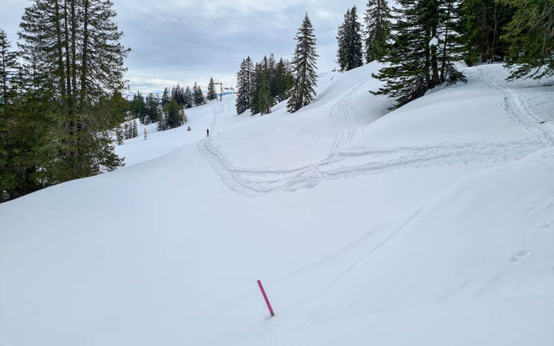
The trail winded its way through the forest.
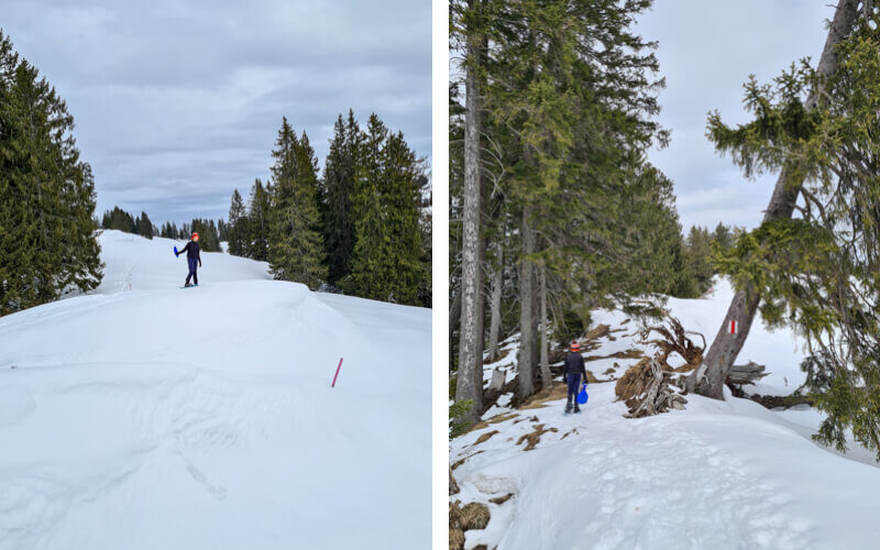
At this junction, many trails joined. I wanted to detour over to Furggelenstock but my family vetoed that idea. Instead we followed signs towards Holzegg.
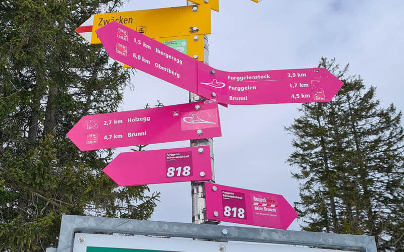
Following the pink poles. On the downhills, we sled down on our shovel sleds.
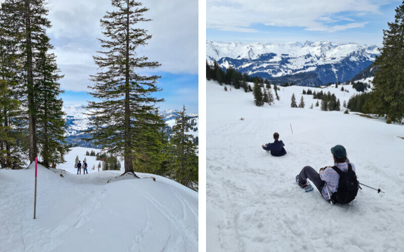
Lots of fluffy snow to walk through here.

A really mellow part of the trail, so nice.

Then a super steep part that I had a little trouble walking down. My kids sled down this, but took off their snowshoes first.
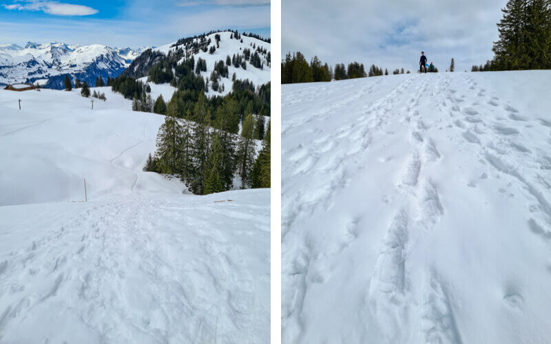
Nice views of the Grosser Mythen peak.

Here is Alpwirtschaft Zwäcken (see on map) where we turn left and head back to Ibergeregg. This restaurant is open during ski season.
Now joining the groomed winter hiking trail leading back to Ibergeregg.

Hikers and snowshoes share this part of the trail.

Easy walking on this part, very flat.
There’s a short part where you have to cross the ski piste, so watch out for skiers above you. The sign is warning you not to cross when the light is blinking because grooming machines are on the piste and its dangerous to cross.

Almost done.

The Sonnenhütte restaurant, very popular. You might want a reservation.

You’ll end the hike back at the parking. Hope you like this snowshoe hike!