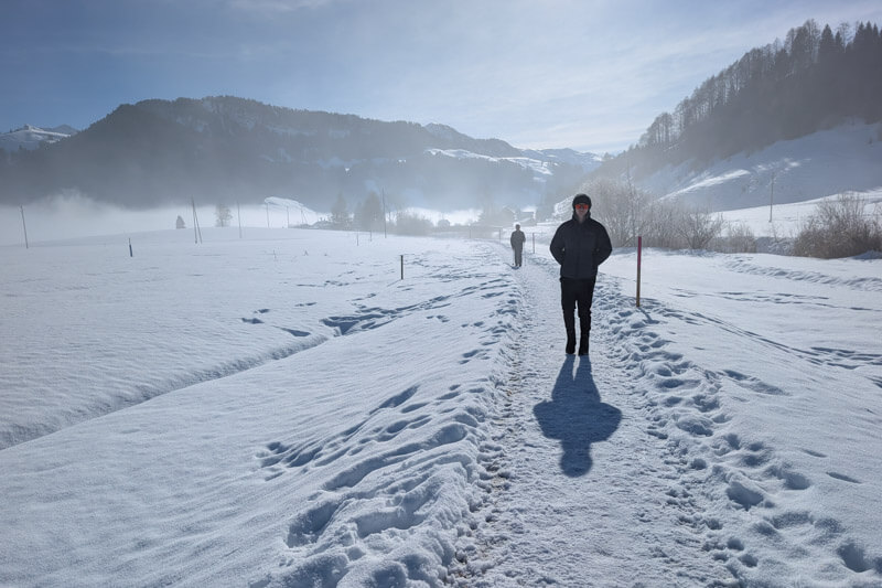
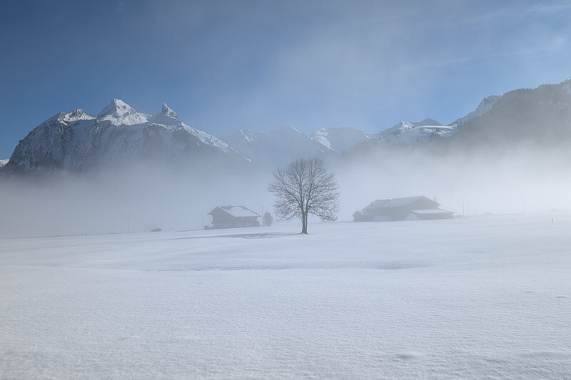
This easy winter walk wanders around wide open fields surrounded by mountains.
During winter season, the snow is groomed with machines, so you only need comfortable winter shoes to enjoy it. The trail is wide and flat, suitable even for strollers with all-terrain wheels.
It’s free and close to Zürich, a quick way to get some fresh air and sunshine with lovely views.
Quick Info
| Region | Einsiedeln, eastern Switzerland |
| Starting point: | Euthal village |
| By car: | free parking near Euthal ski lift – see on map From Zürich 45 mins, Luzern 1hr |
| By public transport: | Bus stop: Euthal, Schulhaus From Zürich 1h15, Luzern 1h40 |
| Trail: | 2h15 • ⬇️trail map |
| Distance: | 8.4 or 14 km loop |
| Difficulty: | easy • 42m up & down |
| Condition: | groomed snow, marked route |
| Elevation: | 900m |
| Open: | Dec to March |
| Cost: | free |
| Services: | toilet at Schulhaus Studen |
| More info: | Einsiedeln region • weather • Euthal webcams |
Gallery
Trail overview
This map shows an overview of the trail. If you are coming by public transport, you can start at the Euthal, Schulhaus bus stop (#1). By car, you can park a bit closer at #2 on the map.

If you are doing the shorter loop, at point #4, follow signs to Euthal. For the longer loop, follow signs to Unteriberg (#5) then loop back to #4.
Hiking map
This trail map shows the short loop, starting in Euthal. If you arrive by car, the distance is a bit shorter, starting at the parking.

See map on Komoot • SchweizMobil • OutdoorActive
The longer version is 14 km, including the second loop that leads to Unteriberg.
See full 14 km trail map on SchweizMobil • OutdoorActive
How to get there
This trail is located near Einsiedeln, southeast of Zürich. The trail starts in Euthal, a small village at the south end of the Sihlsee lake.
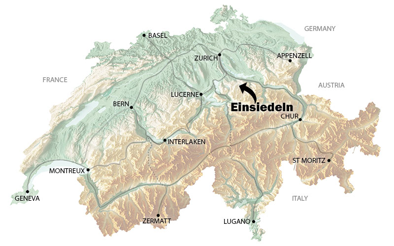
You can reach this winter hike by car or bus, no mountain transport required.
By car: After you drive through the Euthal village, there is free parking along the main road near the Euthal ski lift. See on map. I can be tricky to pull out of this parking since it’s on a curve, making it difficult to see the approaching traffic. Be careful!
By public transport: Take a train to Einsiedeln, the bus to Euthal, Schulhaus. Walk towards the lake, following the pink trail signs, direction Studen.
Planning your day
When to go
During winter (Dec – March), the snow on this winter trail is regularly groomed by machines. Outside this season, you can walk this same trail without snow.
Costs
This trail is free. It does not require mountain transport.
Services
There are no restaurants along the trail. There are a couple restaurants in Unteriberg and cafe in Euthal. But probably best to bring a picnic.
There is a public toilet in Studen (see on map) and two public toilets in Unteriberg (see on map).
Photo story of the trail
Starting the trail at the free parking.
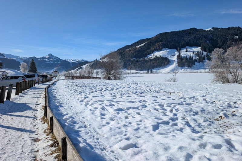
Follow pink signs for trail 560, direction Studen.

You start along the river. The first part was a private road that had been snow plowed.


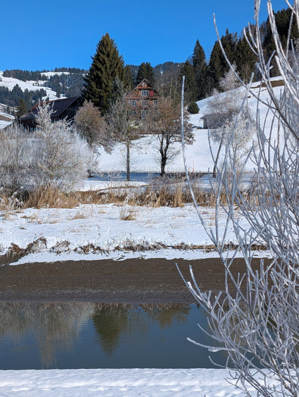

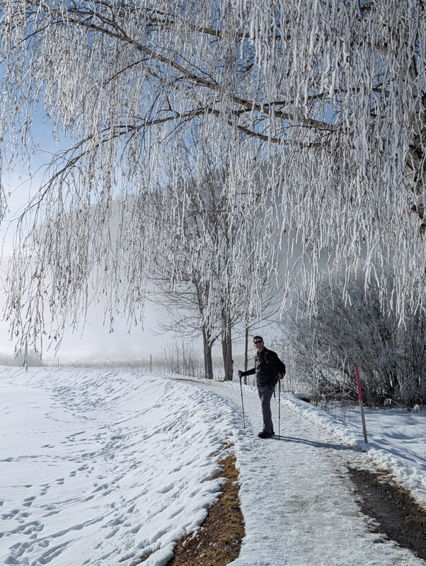
Nice section along the river with frosty trees.
AdLooking for the best online services?
Explore top-rated platforms and secure your discount before it expires.
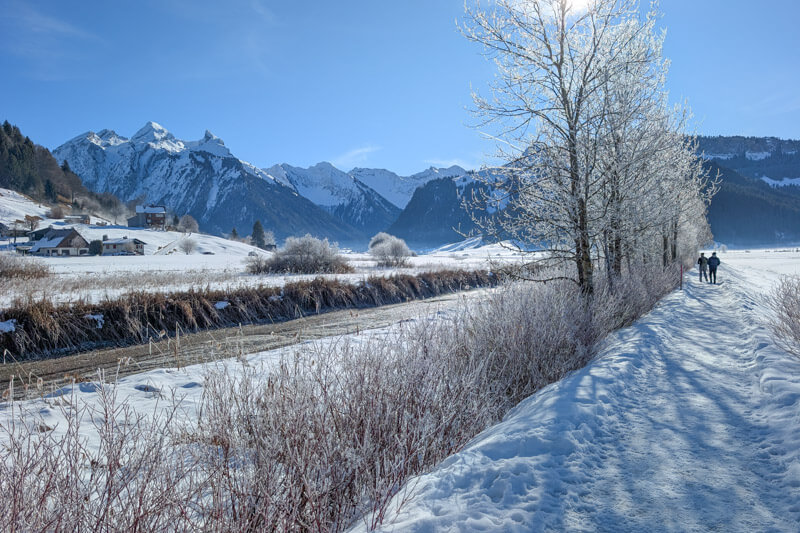
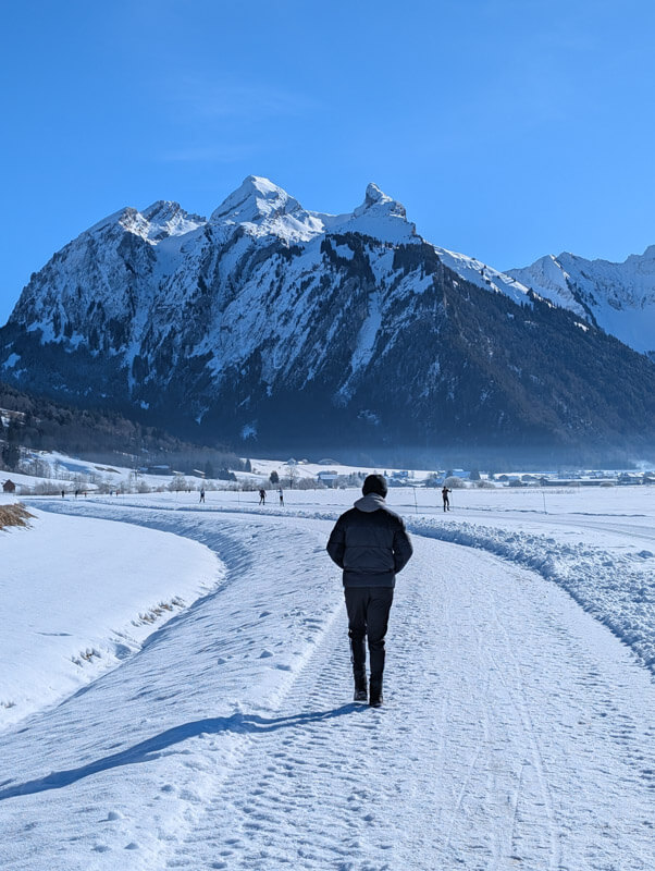
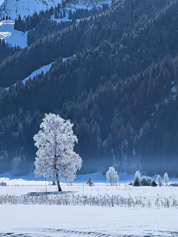
You walk next to the cross-country track for a long while.
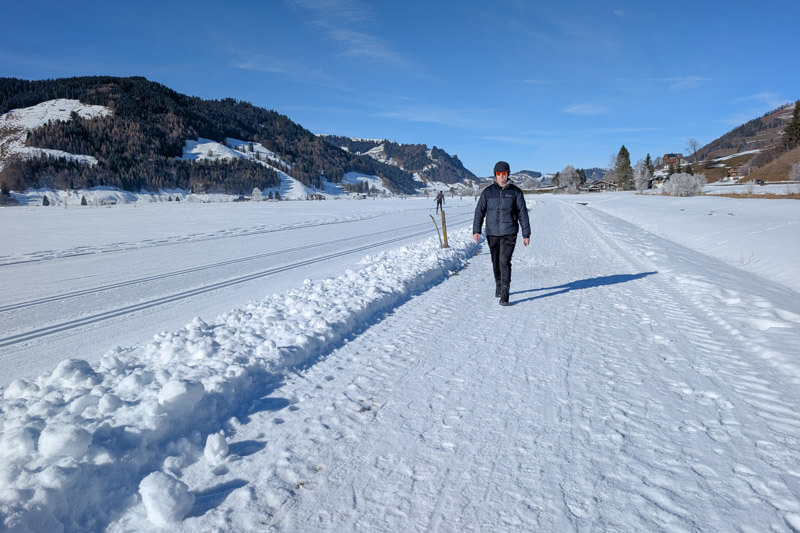
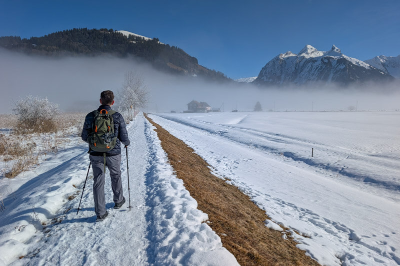
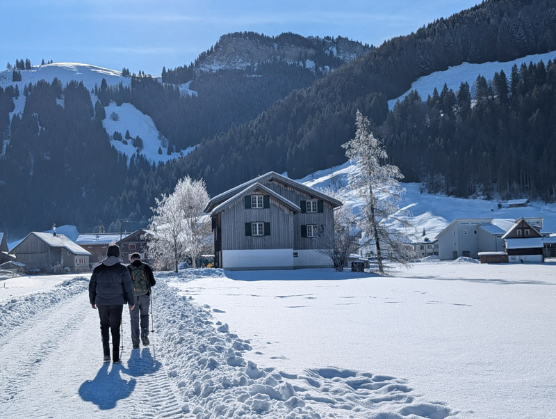
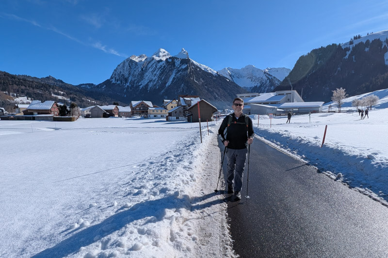
Great mountain views on this part.
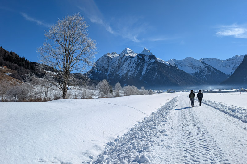
Arriving in the Studen village. We hoped to find a restaurant here, but didn’t see any near the trail.
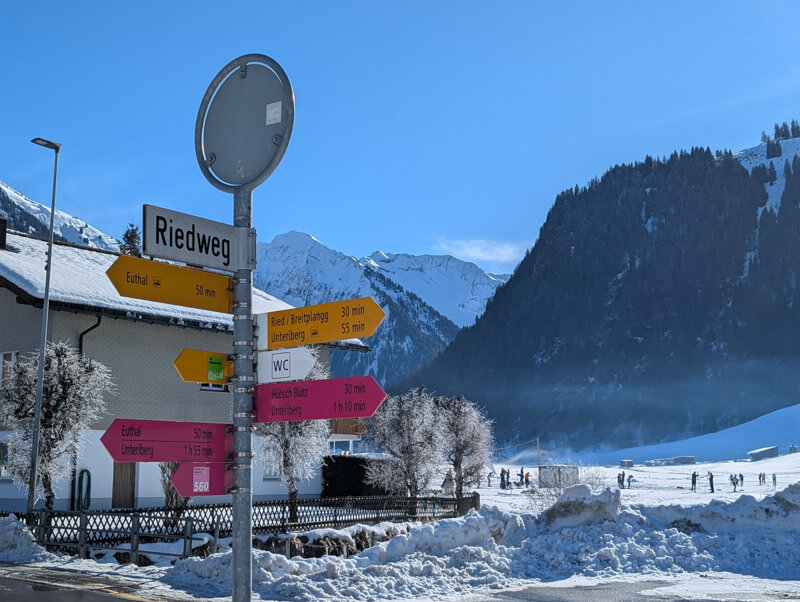
Now follow the pink signs towards Unteriberg. There is a free public toilet near here.
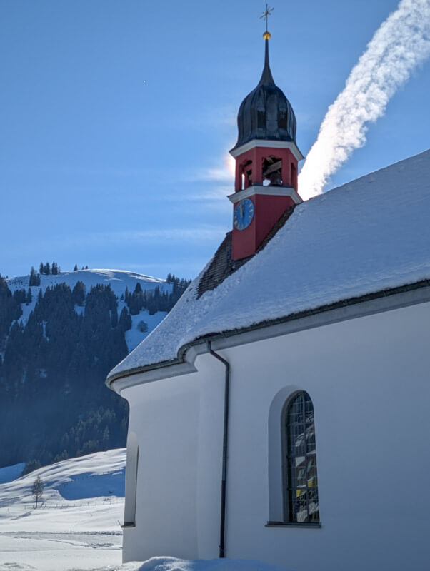
Nice church in Studen.

Leaving Studen behind.
A few minutes on a private road, with a few cars passing by.
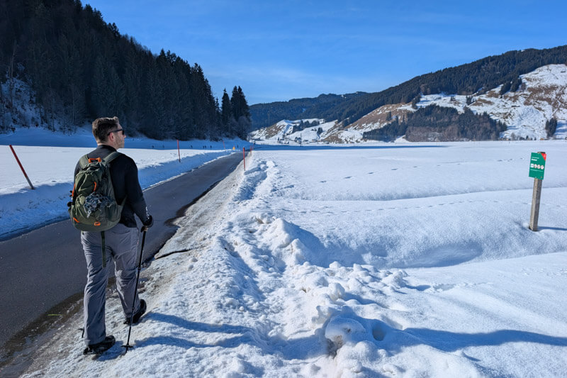
Looking down to Unteriberg
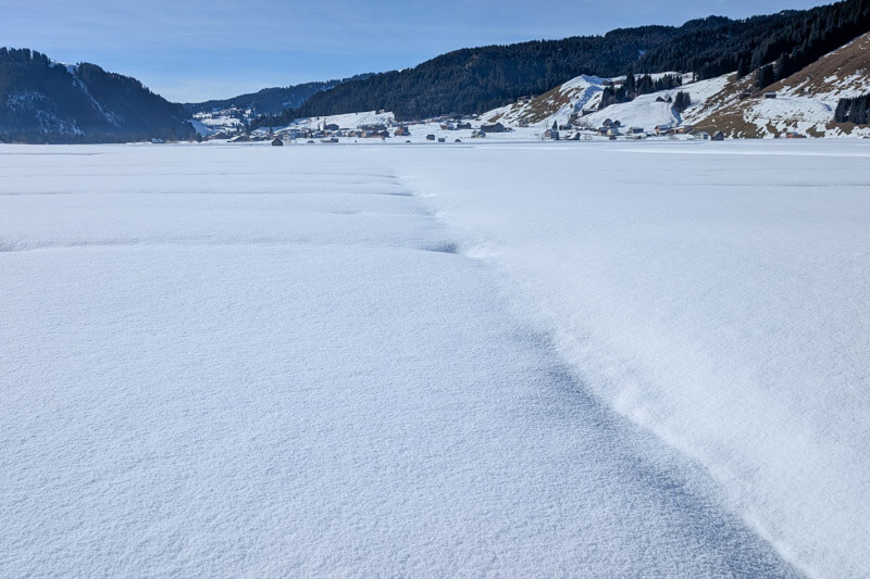
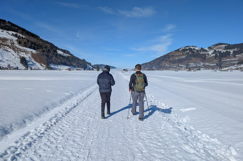
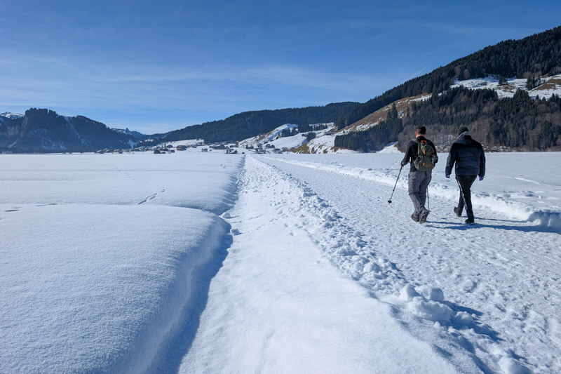
When you reach a bridge over a stream, this is your decision point. Turn right for the smaller loop and follow signs to Euthal 50mins to go back to the parking. If you want to follow the longer loop, turn left and follow signs to Unteriberg.
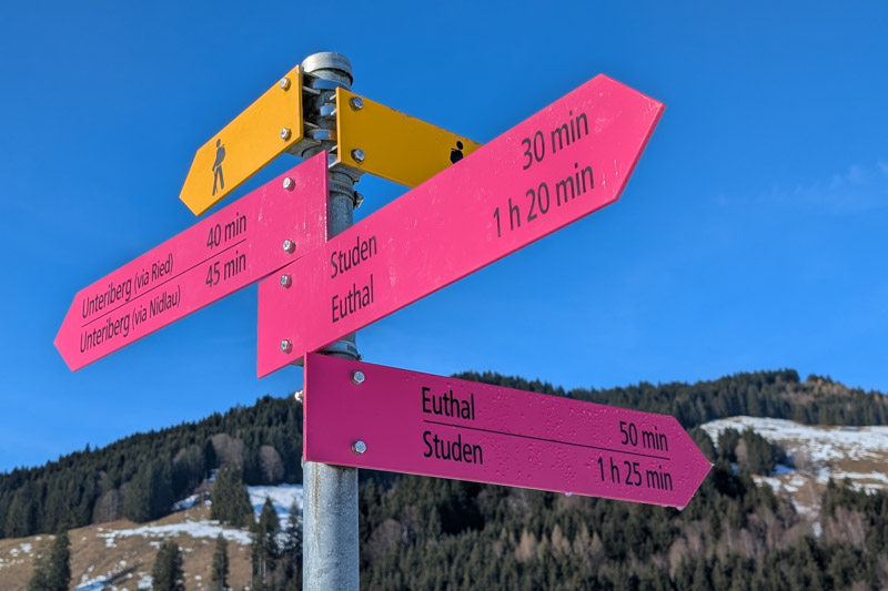
We did the smaller loop. The path follows the stream until you reach the main road.

When you reach the main road, you cross the road, then turn and walk over the bridge to continue the trail.

Now a short bit walking along the river leading to the Sihlsee lake.
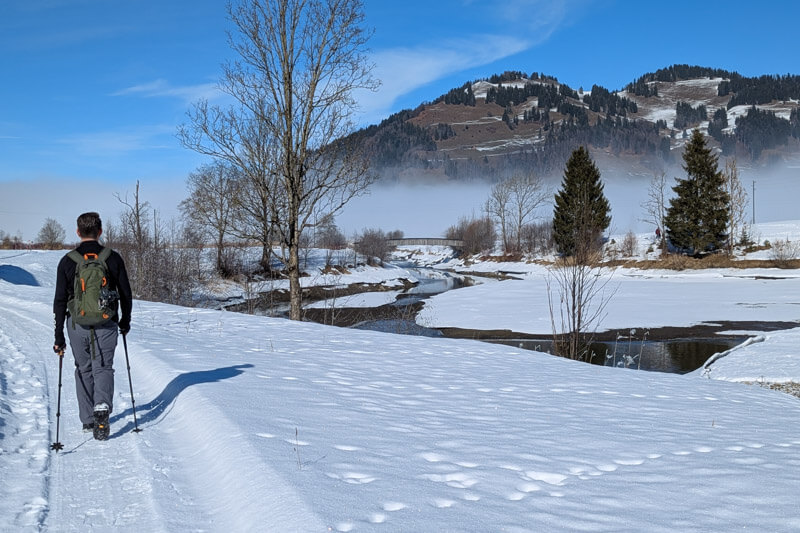
Crossing this nice wooden bridge.
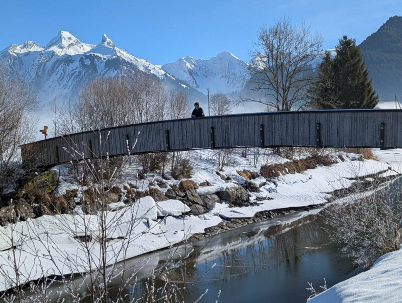
Pretty with the snow chunks breaking off into the water.

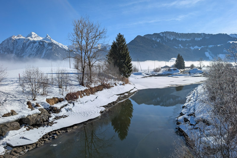
The fog creeping