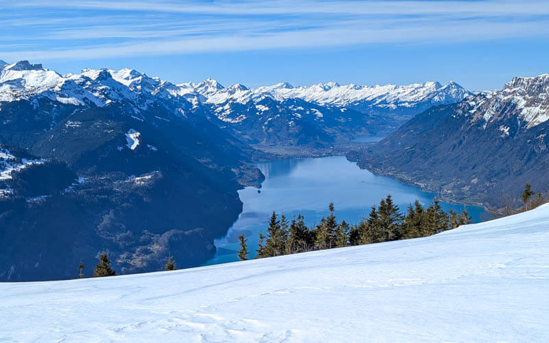
This snowshoe trail leads through sunny slopes to the Tüfen ridge, where you get a spectacular view of Lake Brienz. Then a tough climb to the Schönbüel mountain hut for refreshments before looping back to your starting point.
You reach the trail with a cable car, a quick and easy way to reach higher elevations without a winding mountain road. Since there isn’t a ski resort here, the area is very peaceful even if it is quite popular with ski tourers and winter hikers.
Quick Info
| Region | Lake Lucerne Region • Obwalden |
| Starting point: | Lungern-Türren cable car – Wichelstrasse 2, 6078 Lungern |
| By car: | Metered parking at cable car station From Lucerne 40 mins, Zürich 1hr20, Interlaken 35 mins |
| By public transport: | Train station: Lungern. Then 20 min walk to cable car station. From Lucerne 1h10, Zürich 2hr, Interlaken 1h20 |
| Trail: | 3 hour • trail map |
| Distance: | 8.4 km loop |
| Difficulty: | moderate • 608m up & down |
| Path Type: | marked snowshoe path |
| Highest point: | highest point 1980 |
| Open: | mid Dec through March • check trail status |
| Cost 2025: | Cable car return ticket – Adult |
| Discounts: | Discount 50% with Swiss Travel Pass, Swiss Half Fare Card or GA Free with Luzern Tell Pass |
| Services: | restaurants at beginning and middle of trail |
| More info: | turren.ch • webcam • weather • instagram |
Gallery


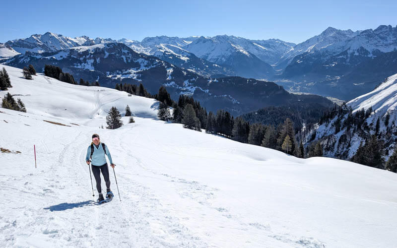
Trail overview
This is a marked snowshoe route, a loop from the Lungern-Turren cable car.
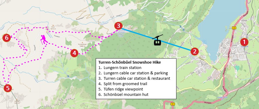
Sample itinerary
- By public transport, train to Lungern, then walk 20 mins to Türren cable car. By car, drive and park at the Türren cable car.
- Get return tickets for the cable car. Ride the cable car up to Türren.
- Follow signs to Tüfengrat, the ridge with the Lake Brienz viewpoint.
- You start on a groomed winter trail. After about 30 mins (point 4 on the above map), you fork left onto the snowshoe route.
- Follow pink poles to the Tüfengrat ridge, about 30 more mins. Don’t walk along the ridge.
- Follow pink poles back across the snow field, following signs to Schönbüel (about 40 mins). The last 15 mins to the hut has steep switchbacks.
- Enjoy a meal at Bärghuis Schönbüel (they take cards or cash).
- Then follow signs to Turren, finishing the loop back to the cable car station (about 45-60 mins).
At the cable car station, you can get a free trail map which is shown below. The trail is designed to avoid avalanche danger zones and restricted game reserve areas. Please stay on the marked route.

Trail map
The map below shows the marked snowshoe path, starting at the top of the Lungern-Turren cable car. They suggest hiking clockwise and we agree.
The path may be slightly different when you go. Make sure to follow the pink poles that indicate the official snowshoe route.
See trail map on Komoot • SchweizMobil • OutdoorActive
About the first 30 mins of the trail is groomed snow. Then the snowshoe trail forks to the left, headed to the Tüfengrat ridge.
The trail requires good fitness to manage the steep ascents. The switchbacks leading up to the hut are particularly difficult. But the trail does not have any dangerous or exposed sections.
Conditions can vary widely depending on recent snow and weather conditions. Check the Turren website for the trail status and webcams before making plans.
Shorter winter hike
For a shorter, easier day, you can walk on the groomed winter trail as far as Breitenfeld and return the way you came. This is 5km there and back, about 1h40 walking time. Learn more.
How to get there
This snowshoe route is located near the Lungern village, about halfway between Lucerne and Interlaken. You reach the trail with the Lungern-Turren cable car.

By public transport
Take a train to Lungern. Travel time from Luzern 40 mins, from Interlaken 35 mins. Train ticket free with Swiss Travel Pass, Bernese Oberland Pass, and Luzern Tell Pass.
From the train station, walk about 20 mins through the village to the Lungern-Turren cable car. Or you can book the free shuttle provided by the Turren cable car. The day before, call (041 679 01 11) to arrange the shuttle, informing them of your arrival time. Although there is no fee, they appreciate a voluntary contribution to help cover the cost of this service.
By car
The cable car is located at Wichelstrasse 2, 6078 Lungern. There is metered parking next to the cable car station.
Planning your day
Tickets
You’ll need a return ticket on the Turren-Lungern cable car. You can purchase tickets online or at the ticket office onsite.
In 2025, a return ticket costs CHF 36. See current prices.
Discount for children, Swiss Travel Pass, Half Fare Card, and GA. Free with Tell Pass.
Don’t skip the cable car: Although there are trails up the mountain from Lungern to Turren, in winter, these trails are not maintained and not recommended. Also you would have to hike up about 1800m of elevation, also not recommended.
Opening Times
Winter season is usually the third weekend of December through the end of March. Check trail status
The cable car runs daily from 9:00 – 16:00. In February and March, it runs a bit earlier and later. Check current opening times.
It leaves every 20 mins and the journey is 7 mins. In winter weekdays, it takes a lunchbreak and does not run at 12:40.
What to wear & bring
You’ll need waterproof winter hiking boots, snowshoes, and hiking sticks with snow baskets.
Dress appropriate to the weather forecast. This trail is mostly open terrain without forests. So it can be very warm on sunny days. So dress in layers so you can adjust as needed. Learn more about what to wear for a winter hike.
You can rent snowshoes from “Bürki Sport” next to the cable car valley station.
Photo story of trail
Cable car ride
This is the Lungern-Turren cable car. It fits 40 people.

This is the top of the cable car station. Start walking on the groomed trail towards the restaurant.

Follow the pink signs to Tüfengrat.

Türren Restaurant
This self-service restaurant is close to the cable car. It’s a good place to stop for a drink if you just missed the cable car and need to wait.

They have a nice terrace with a view.

This is the view down to Lungern from their terrace.

Winter trail
Here is the start of the groomed winter trail just past the restaurant. You’ll stay on this groomed trail for about 30 mins.

We suggest hiking the loop clockwise, following signs first to Tüfengrat. Then hike to the Schönbüel hut. The wooden sign at the bottom shows that the hut is open aka “offä.”

The trail climbs steadily uphill.

Great mountain views the whole time.
Rounded the corner to the snowshoe fields.

Split to snowshow route
After about 30 mins, you fork off the groomed trail onto the snowshoe route as shown here. It was old snow when we were there, so the snowshoe route was very compacted.
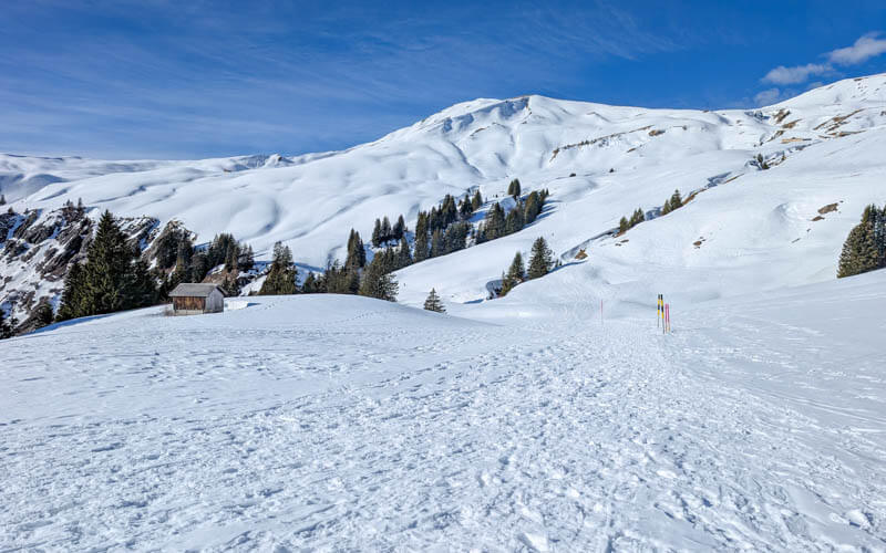
This sign is at the junction. Continue following signs to Tüfengrat.

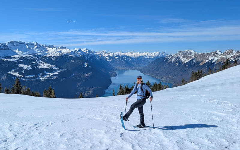
Here’s where I put on my snowshoes for the rest of the hike.
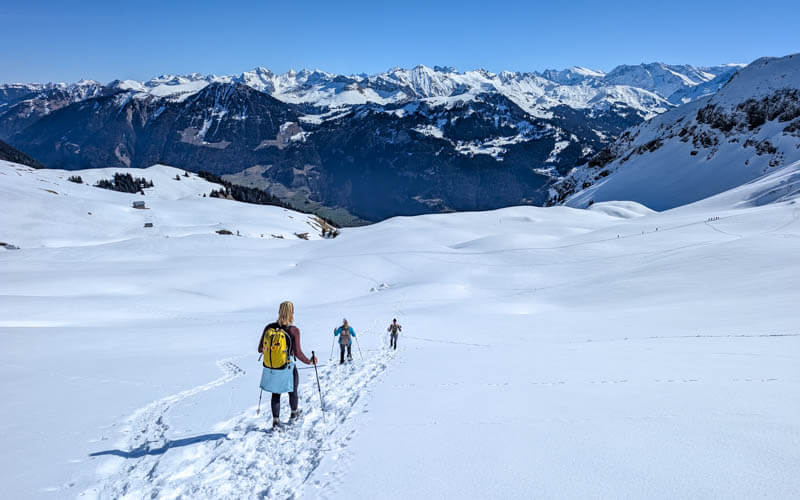
Looking back on the trail.
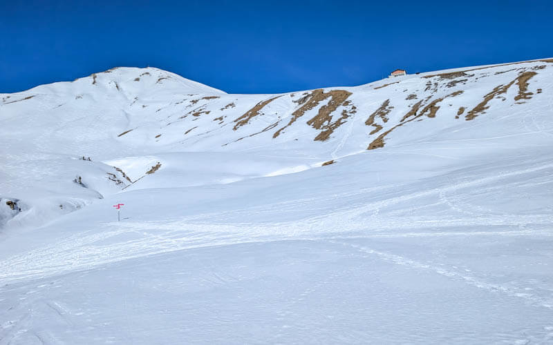
Looking up to the Tüfengrat ridge ahead of us.
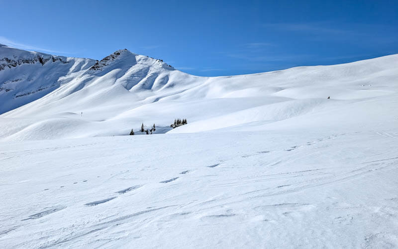
There were a couple dips into ravines.
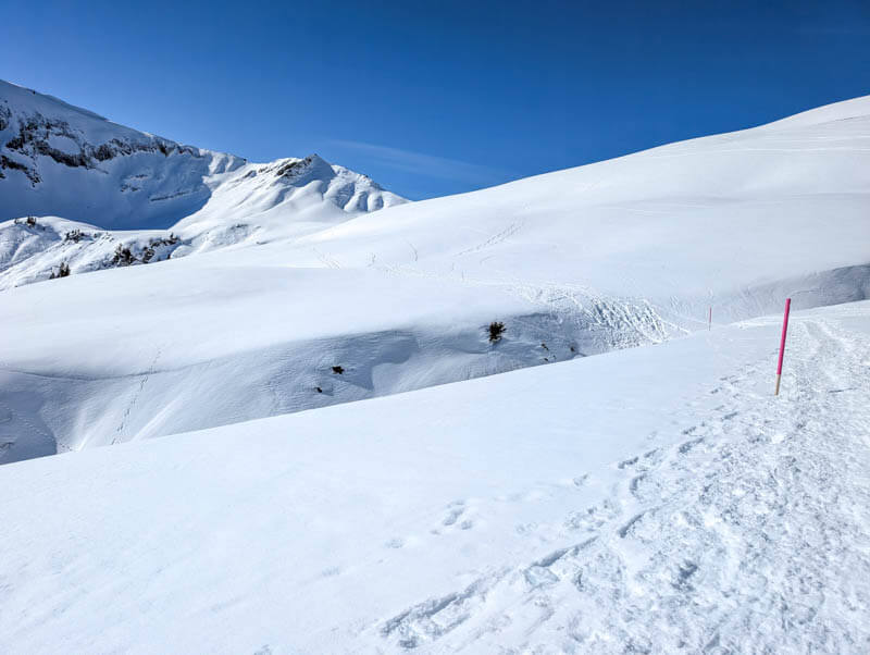
We were thankful for this short flat part before the last climb to the ridge.

Last climb up to the ridge.
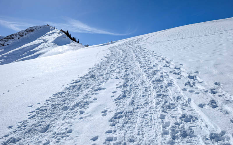
Tüfengrat ridge
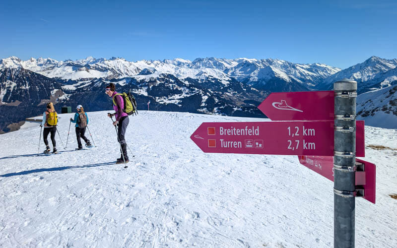
The trail drops you at this ridge near the trail sign.
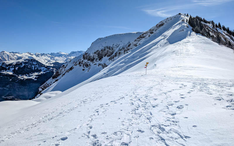
From here, you get a fantastic view of Lake Brienz, with Interlaken in the distance.
This is the trail sign on the ridge. Now you will follow signs to Schönbüel.
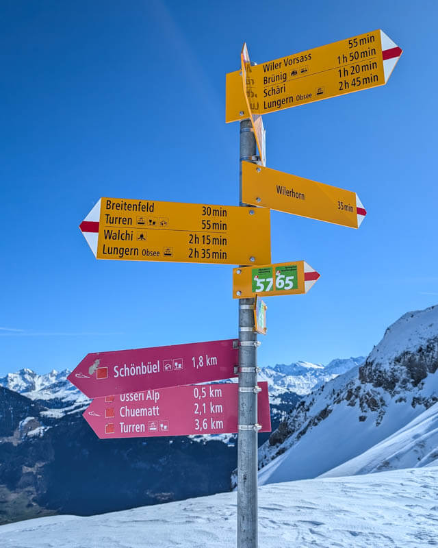
We saw tracks and people hiking up along the ridge so we were a little confused about where to go next.
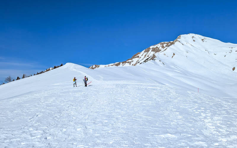
We started up the ridge to see if we could see more poles. Then we saw these pink poles crossed in a X, which usually means “don’t go here.”
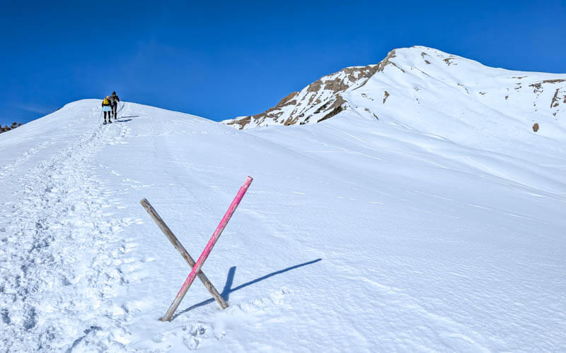
The ridge was very pretty, but we quickly turned around and found the real trail. We talked to a local and he explained that some ski tourers do go higher on the ridge, but it’s not particularly safe.
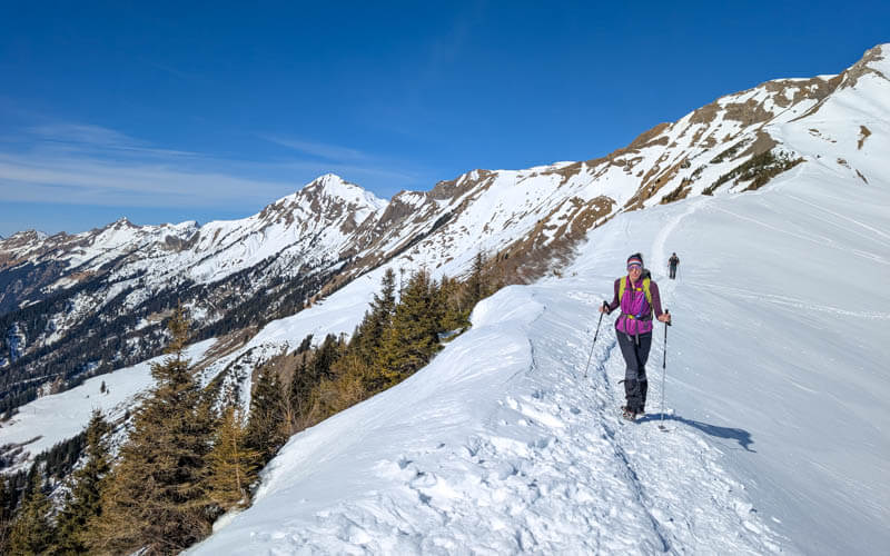
We agreed, so we headed back down to the official route.
Switchbacks up to hut
Now we headed across the snow field towards the hut that you can see at the top.
There were some tracks on a more direct route to the hut, but it didn’t look safe. So we stayed on the marked snowshoe route, which was a just little further down the mountain, away from the steeper rock faces.
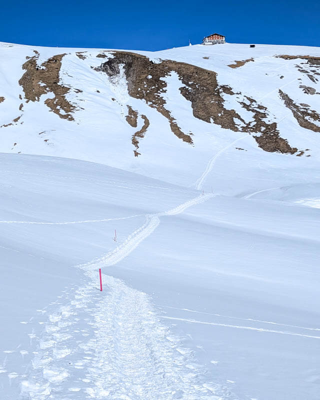
Now the switchbacks up to the hut.

This climb was exhausting and felt longer than the 15 mins it took us to reach the hut.
Sometime it was hard to get our footing since the snow was so compacted. A little slippery in these conditions.
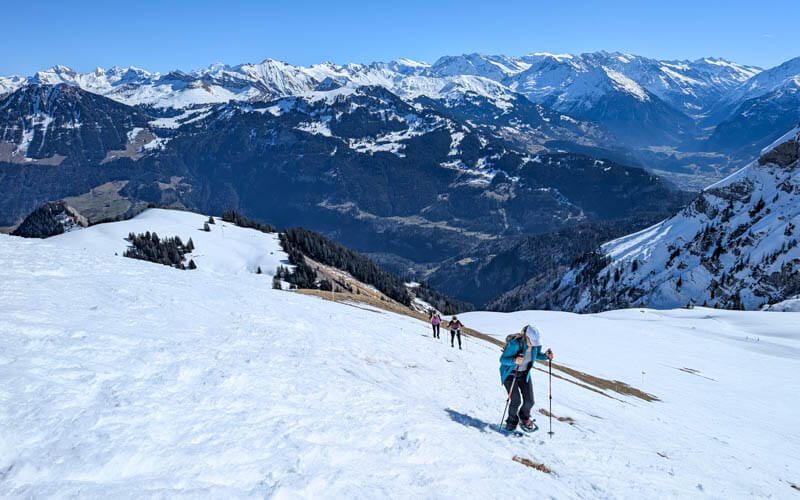
Looking back towards the ridge.

Schönbüel Mountain Hut
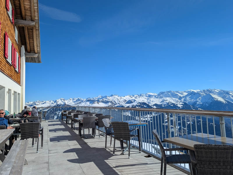
Finally arriving at Bärghuis Schönbüel, with a nice terrace with mountain views.
They make delicious versions of all the Swiss hut classics. I loved my älpermagröenen!

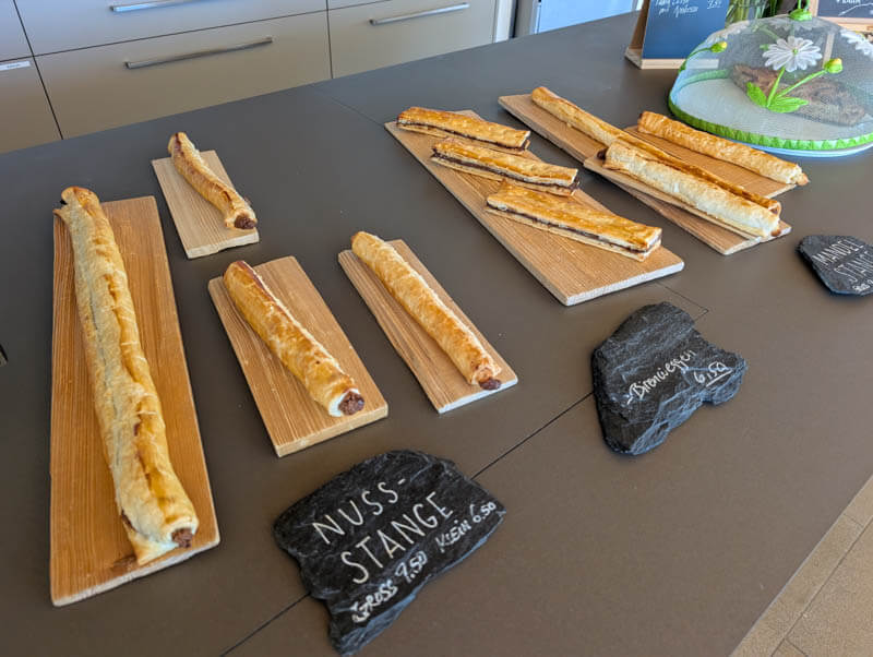
They had lots of handmade desserts and treat.
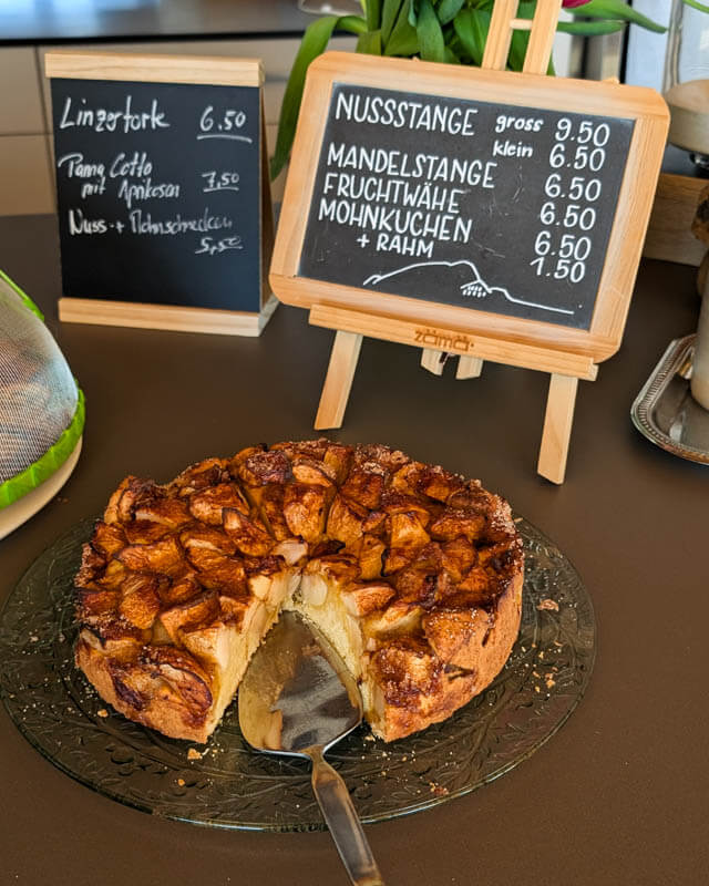
A fun selection of freshly baked pastries.
Back down to Türren
From the hut, follow signs to Turren for the cable car.
The trail descends first to Breitenfeld, the cluster of buildings you see below.
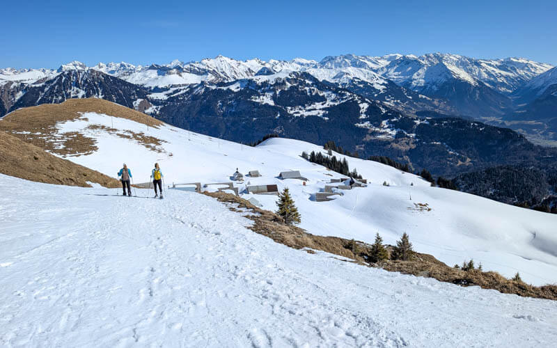
Arriving at Breitenfeld. No cafe here but they do have a portable toilet.

Cute little chapel at Breitenfeld.

At Breitenfeld, you’ll see these signs. You can hike back to Turren on the groomed winter trail. Or fork left and stay on the snowshoe route.

The snowshoe route gets a bit steep at times.
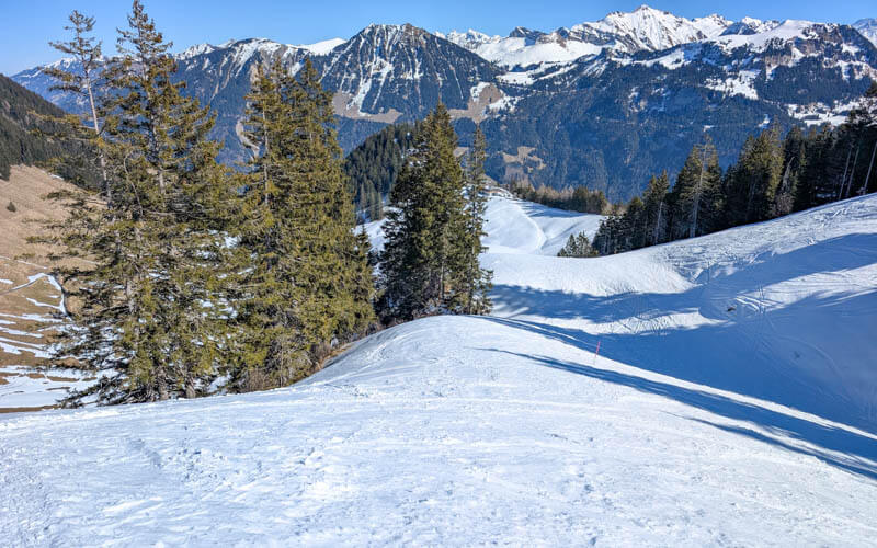
Descending into the shady part in the afternoon.

Arriving back at the Turren cable car. Climb these stairs to board the cable car (different entrance than where you arrived).

Hope you enjoy this snowshoe winter hike!



