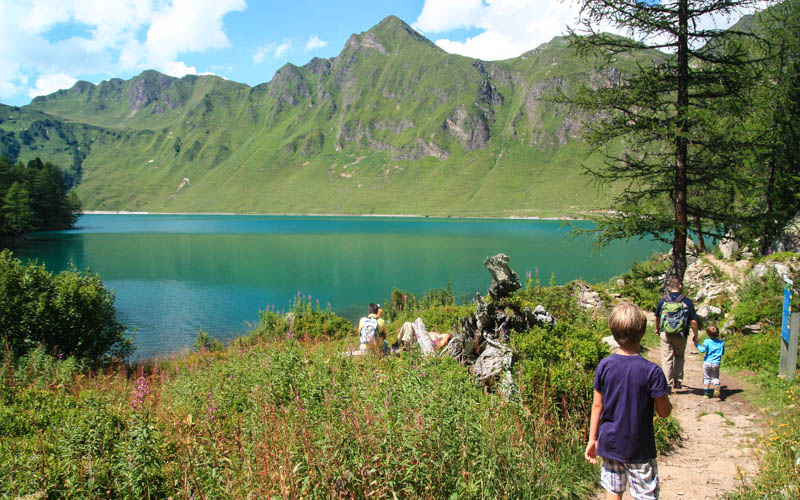
I did a lot of amazing hikes this season in Switzerland, but I think was my best hike of summer 2020. It checked all the boxes: four gorgeous alpine lakes, spiky peaks, yummy food at mountain hut, remote and quiet, big views, rivers and waterfalls. What more do you want? It’s a long, challenging hike but not particularly dangerous if you have hiking experience and come prepared. We were already catching the fall yellows, which I love. But I’ll definitely come back in late July another time to get the green hills and wildflowers.
| Region: | Ticino, Switzerland |
| Start: | Start: Rodi-Tremorgio cable car (Strada di Rodi 43, 6772 Prato) |
| End: | End: Dalpe, Villaggio bus stop |
| Car: | Parking at Strada di Rodi 43, 6772 Prato about 2hr from Zürich |
| Transport: | Rodi, Posta |
| Trail: | 16 km one way, about 6.5 hours |
| Elevation: | highest point 2425m |
| Skill: | challenging, red/white mountain trail, Swiss trail rating T3 |
| Condition: | narrow footpath, no cliff drop-offs, not suitable for strollers |
| Services: | mountain huts with food, water and WC along path |
| Cost 2020: | Cable car one way CHF 10/adult, no reductions with travel cards Bus back to starting point CHF 4.60 |
| Open: | June to mid-October, first cable car ascent 7:30 |
| More info: | cable car website |
Overview
This hike is located in Ticino in southern Switzerland near the southern side of the Gotthard tunnel.
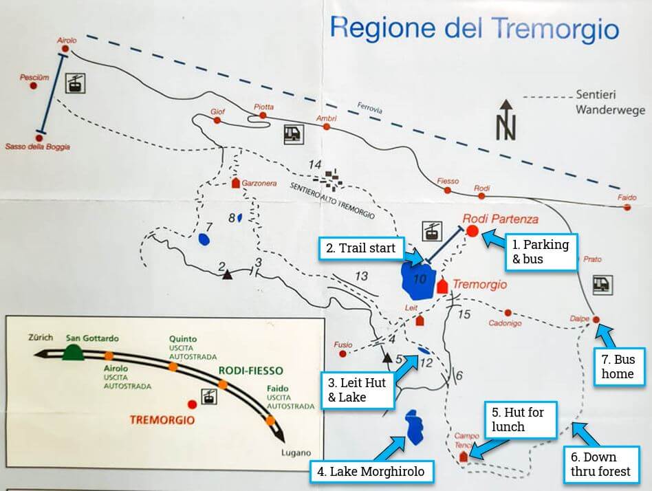
Here is the hiking map for this area. It’s a one way hike starting at the top of the Rodi-Tremorigio cable car and ending the Dalpe village where you can catch a bus back to your starting point.
Here is a view of the trail on Google Earth.

Here the detailed trail map. The trail maps says about 16 km and 6.5 hrs, which matches our actual walking time. But we were on the trail for about 8hr20 including lunch and breaks.
What to wear & bring
This is a remote mountain hike so please go prepared. Best to wear sturdy hiking shoes, preferably with ankle support. I found hiking sticks helpful, particularly on the downhill. Bring layers as weather can change quickly in the mountains. Bring a minimum 1 liter water per person. You can refill your bottles at the Tencia hut which has a fountain with drinkable water. We recommend having Rega insurance and activating their mobile app in case of emergency.
Getting There
Since this is a one way hike, you’ll need to use public transportation to return to your starting point.
By car: Drive to Rodi village and park at the Rodi-Tremorgio cable car (Strada di Rodi 43, 6772 Prato). There is a large overflow parking lot on the main road just before you get to the cable car, but hopefully you won’t need it. At the end of the hike, you’ll take the bus from Dalpe to the Rodi, Posta bus stop, which is only a 1 minute walk from the parking.
By public transport: The closest bus stop to the cable car is Rodi, Posta, about a 2 min walk from the cable car. This is accessed by bus 191 from Airolo (about 13 mins). From Zürich, it’s about a 3hr journey. There aren’t a lot of connections, so plan carefully.
The hike ends in Dalpe. You can catch bus 117 from Dalpe, Villaggio to Rodi, Posta to get your car (a 12 min ride). Or you can continue on the bus all the way to Airolo where you can catch a train back to your starting point (with some connections, you have to change buses to reach Airolo – check the schedule). In 2020, this bus leaves Dalpe at 14:03, 15:46, 16:53, 18:03, 18:33
Tickets
The cable car runs daily 7:30 to 19:00 from early June to mid-October. It fits 8 people and takes about 6 minutes to reach the top. See current news and operating times here.
You need a one-way ticket up to Tremorgio, which costs CHF 10/adult, CHF 8/child 6-17. Slightly reduced fare if you have the Ticino Ticket. No reductions for SBB Half-fare or GA or other travel cards. SBB Junior cards not accepted. You can pay with cash or card.
1. Starting at Tremorgio
At the bottom of the cable car, you wait in line to buy your tix and then get on the cable car straight away. There is a WC at the cable car, better to use this one than the one at the mountain hut at the top. After that, no WC until you reach the mountain hut about 3 hours later.
At top of the cable car, it’s a short 1 minute walk to the mountain restaurant and a view over the lake. You could start with a coffee and croissant here before starting the hike.

Start by following signs to Capanna Leit, which is the first mountain hut on the trail.

If you have time, you could take a short detour down to the Tremorgio lake, which is lovely. But you have a long hike ahead of you. So we simply admired lake #1 from above as we hiked up. We were there about 9:45 in mid-September, so the sun hadn’t full hit the lake yet.
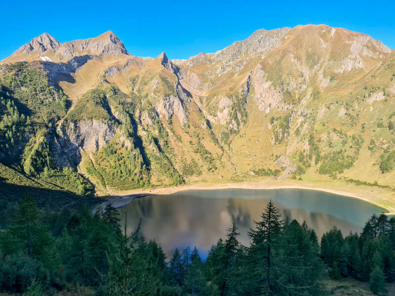
In this picture from the lake shore (from another visit), you can kinda see your trail cutting across the mountain towards top of that waterfall.

The start of the trail is on a bunch of rocky switchbacks up the mountain.
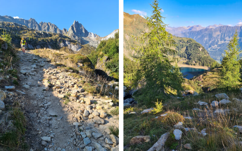
After about 30 mins, you reach this beautiful river valley.

The trail splits at the river. Go right following the path straight across this valley, continuing to follow signs to Capanna Leit.

It’s a steep rocky climb for another 30 mins up to the next hut.
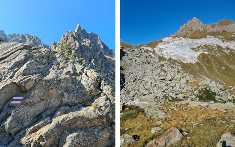
2. Arriving at Leit hut and lake
Here’s the Capanna Leit hut (at 2257m, about 3.5 km and 1h15 from the start). They serve meals and have rooms for overnight stays. But it looked all closed up and quiet when we passed it.

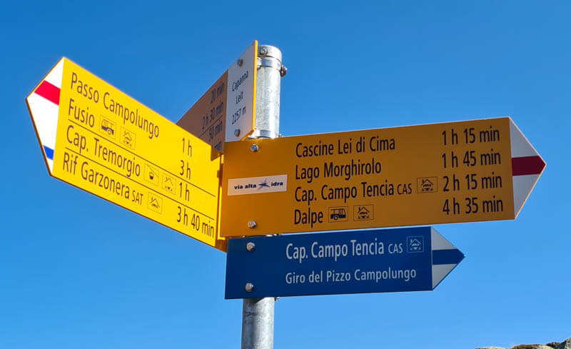
Now follow signs to Cap. Campo Tencia, the next mountain hut on your trail. You’ll be on the red/white trail, not the blue/white trail. There is another shorter trail to Dalpe, your final destination, but you want the one that visits all the lakes. So head to Camp Tencia.
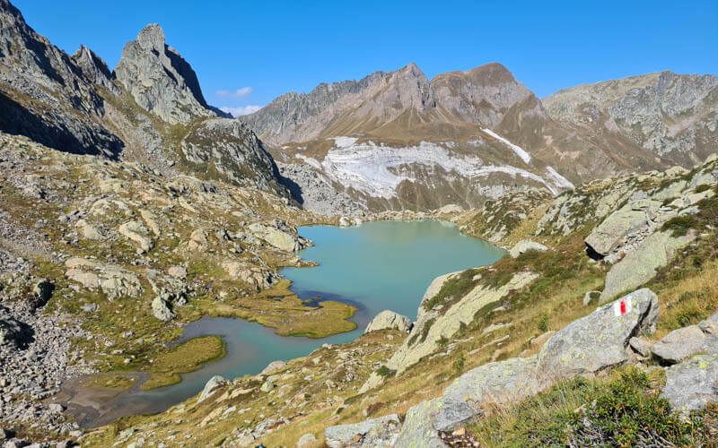
A few minutes after the Leit hut, you reach the second lake, Lago di Leit.

The trail heads straight up the mountain from the lake. But I recommend wandering along the lakeshore a bit to get some pics before heading up.

Above the lake, the trail gets really rocky, often just climbing over big rocks. I didn’t find my sticks helpful on this part, better to have your hands free. Sometimes it’s hard to see the trail and we lost it a couple times and had to get back on track. Just keep looking for the red/white markers ahead of you.

View of Lago di Leit from above. So so pretty!!!
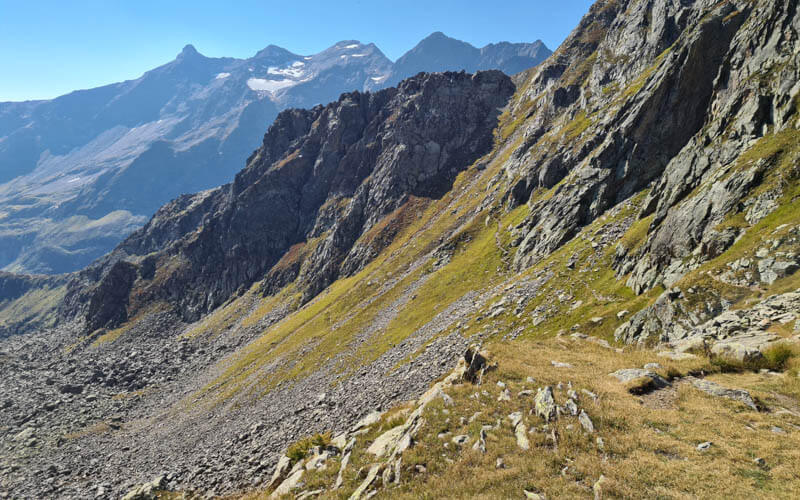
After about 30 mins of the rocky climb, you reach the top and look over to this beautiful valley. You trail cuts across the mountain to your right, going down a bit then back up, your last big climb.
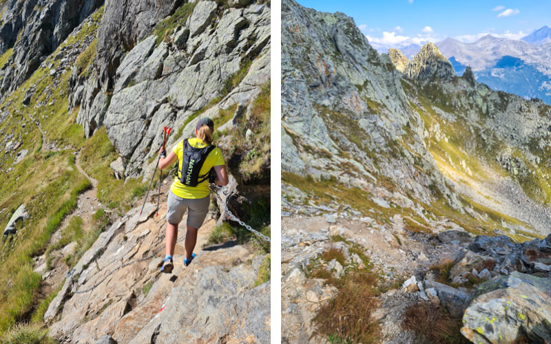
There is one short section with a cable, where you have to carefully scoot down the rocks. After that, some very steep switchbacks, please be very careful on this part. The pic on the right is looking back on the trail. You came from that peak in the middle of the photo.
Now a short grassy bit, a welcome relief after all the rocky climbing. Continue following signs to Campo Tencia.
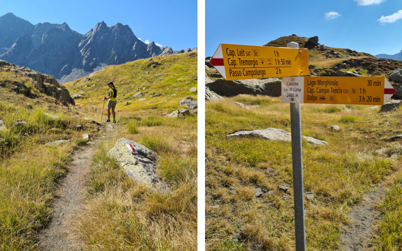
Pretty soon Lago Morghirolo comes into view.

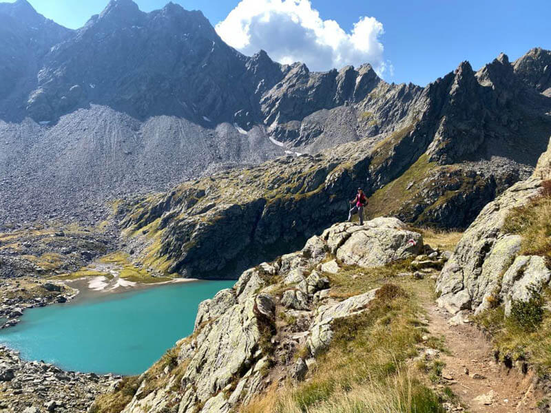
Note: On the map, the official trail heads straight down the mountain and skips the lake. We never saw that trail and instead we kept following the trail that led straight to the lake. We were worried that this wasn’t the right trail since it didn’t match the official trail map on my phone. But it had red/white markers and was a completely normal trail all the way to the lake.
I think this trail to the lake is much preferred and you should do it. Plus you get to take this pic.
4. Arriving at Lago Morghirolo
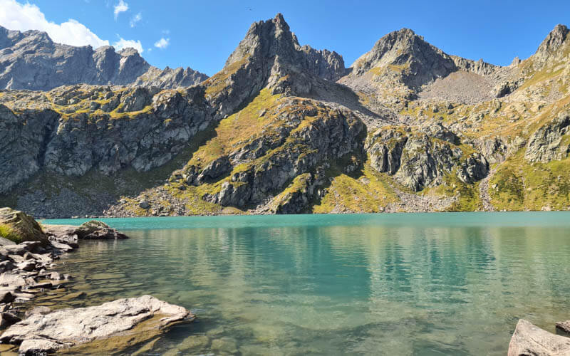
This 3rd lake is probably the best one and you should definitely take a break here. This is after 7 km and 2.5 hrs, not quite halfway. You still have about 30 mins to the Campo Tencia hut and 10 km (3hrs) to the end.

If you brought a picnic, this is the right place to enjoy it. My only regret was not bringing my swimsuit so I could jump in. It was definitely too cold but it looked so inviting.
When you are done at the lake, follow signs to Campo Tencia. You are close now.
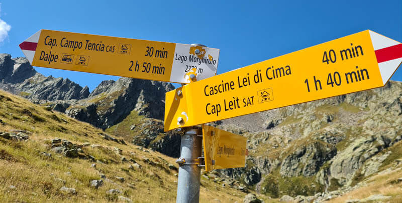
Saying goodbye to Lage Morghirolo. So sad to leave!!!

I loved this part of the trail, rolling up and down these hills along the ridge.

Right before the Campo Tencia hut, you see this final little unnamed lake with the most beautiful reflection. Just take a moment before hurrying to lunch.

Now you are only 5 mins from the Campo Tencia hut and your lunch!

5. Campo Tencia hut
Oh happy day! The Campo Tencia hut is finally in view. We arrived just after 14:00 and they had already stopped cooking lunch and had thrown out the cooking water. But they agreed to cook us up some gnocci and we were happy to have it.
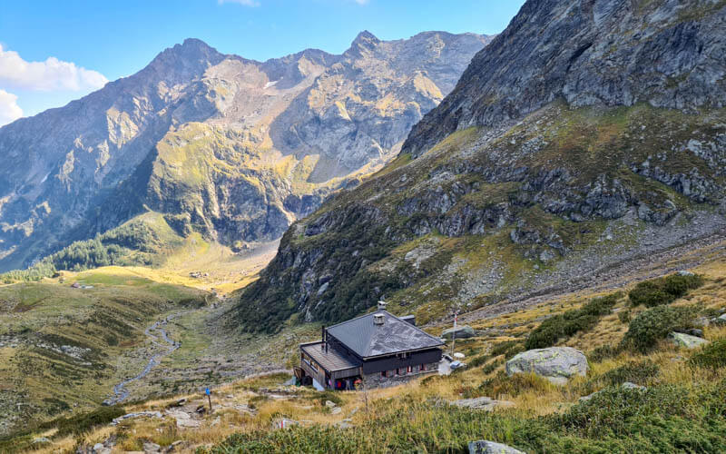
Nice terrace with views and indoor seating if it’s too cold. The fountain in the foreground has free drinkable water to refill your bottles.

Now follow signs to Dalpe, which took us exactly 2hr20 walking time as noted on the sign, but more like 3hrs with breaks.

6. Hike down to Dalpe
Now the long descent to Dalpe. You start along a rushing river and pass a few waterfalls.

The path leads down the forest.
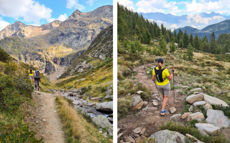
The path after lots of switchbacks the path flattens out for a bit as you approach civilization.
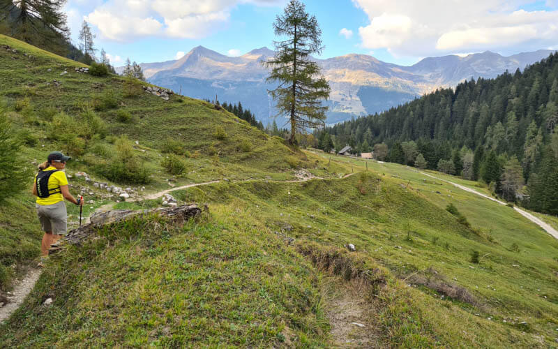
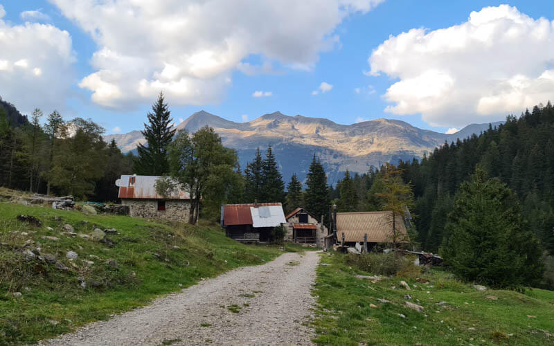
You pass a few barns here and there, quiet now that the cows were already in the valley.
Some steep bits in the forest.

If you have time, I recommend the short detour to see the waterfall. You’ll see the sign to Cascata shown below.

Follow the footpath to this lookout. This pic is from a previous visit to this falls with my kids.

The continue hiking down to Dalpe, about another 20 mins and find the bus station. I forgot to take a pic so here’s one of this town from a previous hike I did in the area with my kids.

Check the bus schedule but in 2020, this bus leaves Dalpe at 14:03, 15:46, 16:53, 18:03, 18:33. We rode it to Rodi where one of my friends got her car and I caught another bus on my way home to Zürich, a 3+hr ride.
You might also like…
Hiking around Lago Ritom across the valley