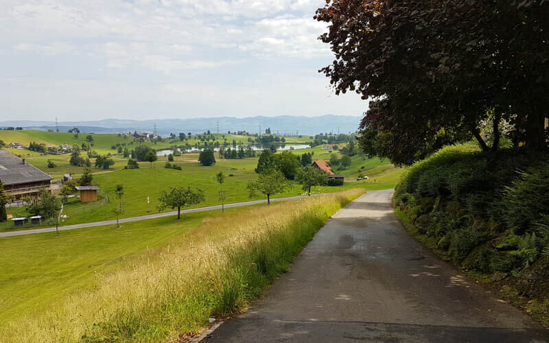
This easy walking path along the Sihl river south of Zürich is a good choice for spring. Starting in May, the trees are green again and meadows full of wildflowers. In summer, you can cool off in the river and grill a picnic by the water. It’s so close to Zürich, that you could fit this in as an evening stroll or morning jog before the kids come home for lunch.
Note: After heavy rain, the river can flood the trail. So best to wait a day or two after rain before doing this hike.
| Location: | Zürich region |
| Parking: | Sihlbruggstrasse, Neuheim, on the side of the road here: 47°12’51.5″N 8°34’50.5″E |
| By public transport: | Bus stop: Sihlbrugg, Dorf |
| Trail: | 6.2 km loop, about 2 hours (2km shorter if you drive) |
| Elevation: | highest point 745m, 150m up, 490m down |
| Trail condition: | easy, narrow dirt path with uneven terrain |
| Difficulty: | easy |
| Open: | best May to October |
| More info: | wegwandern.ch |
Location
This trail starts in Sihlbrugg, south of Zürich. You can reach the trail by car or bus.
Hiking map
We usually do the shorter version of this hike (shown on the trail map below), by crossing the bridge at the 3.5km mark and looping back, for a total of 6.2 km. If you come by car, the trail is 2 km shorter since you can park closer to the trail at 47°12’51.3″N 8°34’50.4″E.
If you want a longer hike, you just keep walking along the river until the next bridge at 5.8km. After crossing the bridge, you can walk about 500m further up river to the Sihlmatt Restaurant (open April to October, closed on Mondays). If you don’t want to eat there, then just loop back after crossing the bridge.
See tour on Komoot • SchweizMobil • Outdoor Active • All Trails
You can also do this hike as a one-way trail, ending in Hirzel, then taking the bus back. See details.
Getting there
By public transport
Take a train to Baar, then bus 31 to Sihlbrugg, Dorf. The trail starts here on the side of the Sihlbruggstrasse leading up river.
By car
The closest parking is a small dirt lot on Sihlbruggstrasse as shown below – 47°12’51.3″N 8°34’50.4″E. The path starts directly from this parking. If this is full, you can park near the Sihlbrugg bus stop and start the walk there.

Where to eat
At the far end of the loop, there is the Sihlmatt Restaurant, which is known for their river trout dishes. They are open April to October, Tues-Sun from 11:00.
There are also places to picnic along the river and build a fire (but check local notices about fire restrictions if the weather is especially dry).
Photo story of the trail
Here is the start of the trail near the parking spots.

The trail starts on a narrow dirt path in the forest.
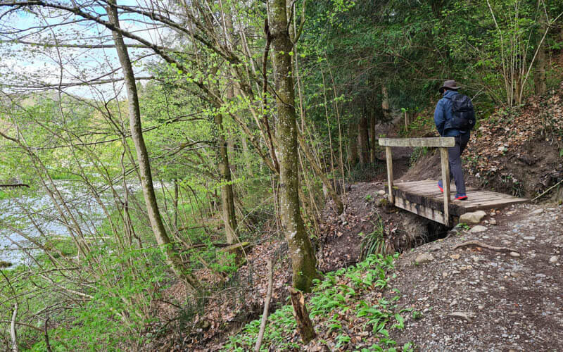
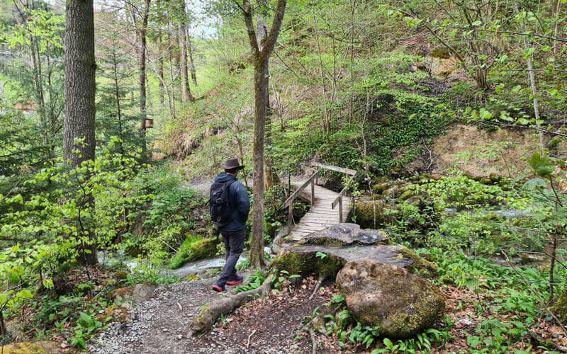
You cross a couple bridges.
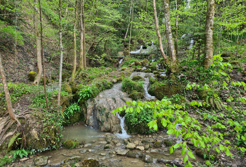
In spring, there is usually a lot of water flowing down these baby falls.
Cross this big bridge to reach the path on the other side.
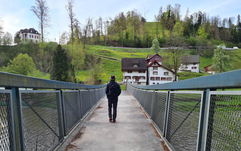
Here you can see the path along the river.
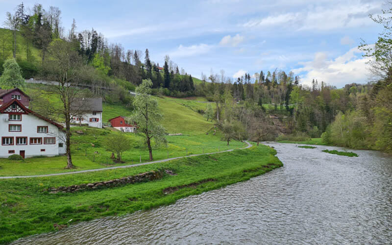
Nice wide path next to the water. After heavy rain, we’ve seen this area completely flooded and weren’t able to walk further.
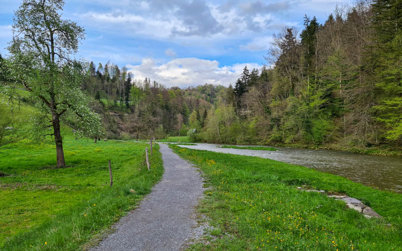
Nice wander right next to the water.

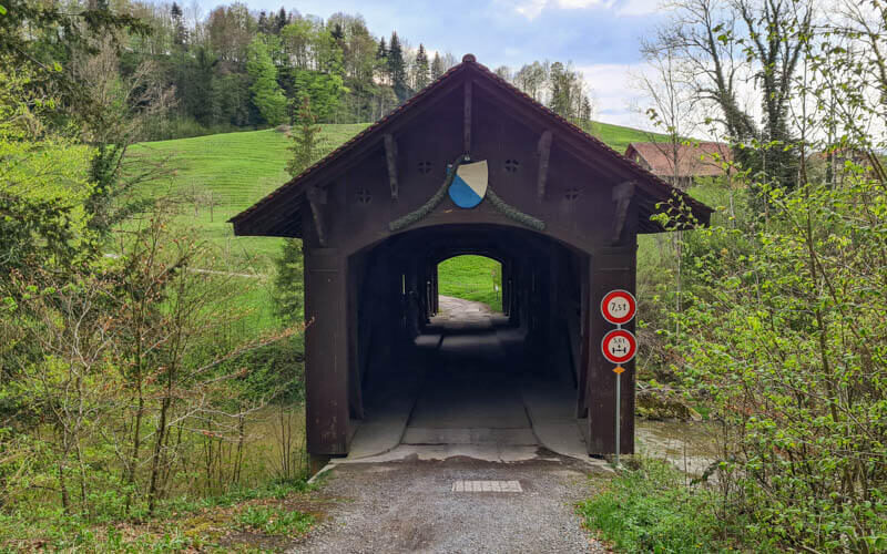
If you want the shorter loop, you will cross this covered bridge and loop back on the other side.
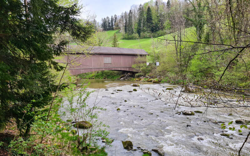
Very cute bridge.
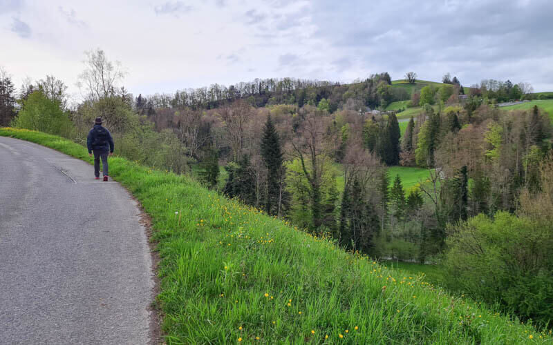
The trail loops back on a paved road that services the farms in this area.
At this junction, follow the yellow signs to the forest path that leads back to the Sihlbrugg parking and bus stop.