This trail wanders around the countryside near Richterswil south of Zurich, crossing farm fields, skirting around little lakes, dipping into cool forests and following along streams. It’s not the type of trail I usually choose, but I kept seeing it on SchweizMobil website and I was curious. So when I had a morning to myself, I gave it try and am happy to report it was full of delightful surprises.
The full trail is a bit long for most families, so I have two shorter options below (3 km and 6.3 km) that hike the best parts of the trail. There are also a couple lakes from the hike where you could basically drive right there and skip the hike. I would suggest this trail for social walking with friends or your long run on weekend, particularly in spring when higher elevation trails are closed.
| Location: | Zürich region |
| Start: | Bus stop: Schönenberg ZH, Sonne |
| End: | Train station: Richterswil Bahnhof |
| Trail: | 13.5 km, about 4 hours (shorter options below) |
| Elevation: | highest point 745m, 150m up, 490m down |
| Condition: | some dirt, some paved, no strollers |
| Skill: | moderate |
| Open: | best April to November |
| More info: | schweizmobil.ch |
Overview of trail
This trail is located south of Zürich, starting at the tiny village Schönenberg and ending at Richterswil on Zürich lake.
It’s a one way trail, about 13.5km for the full length (see shorter options below). It’s not difficult, just a lot of walking with a few ups and downs. The trail is sometimes dirt and lumpy with stairs, sometimes you are walking on a paved country road or sidewalk. There were no services along the trail until the trail passes through Samstagern, where there is a Volg grocery just off the trail (Stationsstrasse 40, 8833 Samstagern).
Shorter hike A • 3 km: Start in Schönenberg (there is parking near the bus stop) and hike to the Teufebachweiher (1.6 km to a little lake), which would be a great place for a picnic. Then continue on the trail to the Sihl river, a particularly nice part of the trail in the forest along the water. You exit the forest at the village Hütten, where you can catch the bus (stop: Hütten, Schöntal) back to Schönenberg if you parked there or to Wädenswil to catch the train.
Shorter hike B • 6.3 km: Start at the Samstegern train station (train service from Wädenswil) and follow the trail 3 km down to Richterswil, passing the nice Sternenweiher lake and finishing on the Mülibachweg, which is a little forested gorge with a stream flowing through. I think this would be a very nice option for families.
No hike: You can drive directly to two of the lakes on the hike and have a nice picnic without any hike. Huttenersee has a swimming area with nice picnic areas (Bellenstrasse, 8833 Richterswil). Sternenweiher has a couple parking spots on the side of the road and a little path around the lake (47°11’44.9″N 8°41’22.9″E).
Getting There
Since it’s a one-way trail, it’s best accessed by public transportation. If you do one of the shorter versions above, adjust your directions accordingly.
By public transport: Take a train to Wädenswil, then bus 150 or 160 to Schönenberg ZH, Sonne (about a 15 min ride). This bus runs about every 30 mins, but check the schedule carefully. The trail ends at the Richterswil train station, where there is frequent train service to take you back home.
By car: I would park in Richterswil (the end of the trail) in the long term SBB Park & Rail parking next to the train station. Then take the S2 or S8 train one stop north to Wädenswil (4 mins), then bus 160 to the trail start at Schönenberg ZH, Sonne.
Trail Signs
You will be on official walking paths following yellow trail signs. But they aren’t always labeled with your end destination of Richterswil. So I recommend downloading the trail onto a phone app (like Komoot), so you don’t take a wrong turn.
Here are the destinations in order: Teuenbachweiher – Sihlweg – Hütten – Hüttnersee – Samstagern – Richterswil.
1. Starting in Schönenberg, hiking to Teufenbachweiher
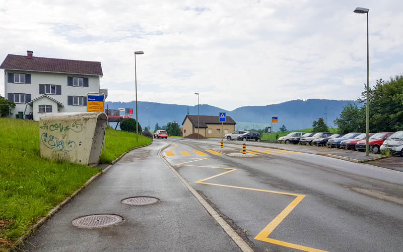
Here is the bus stop in Schönenberg. There is a bit of parking here if you want to just walk down to the first lake.
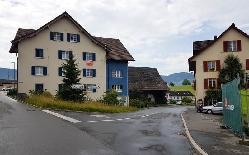
From the bus stop, walk back up the street a bit and turn on Haslaubstrasse as shown here.
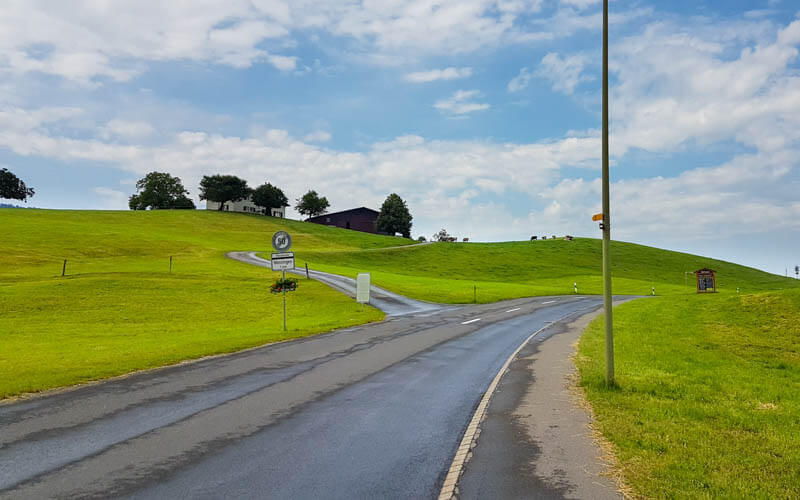
After a minute, you’ll turn left onto a farm road to your left as shown here.
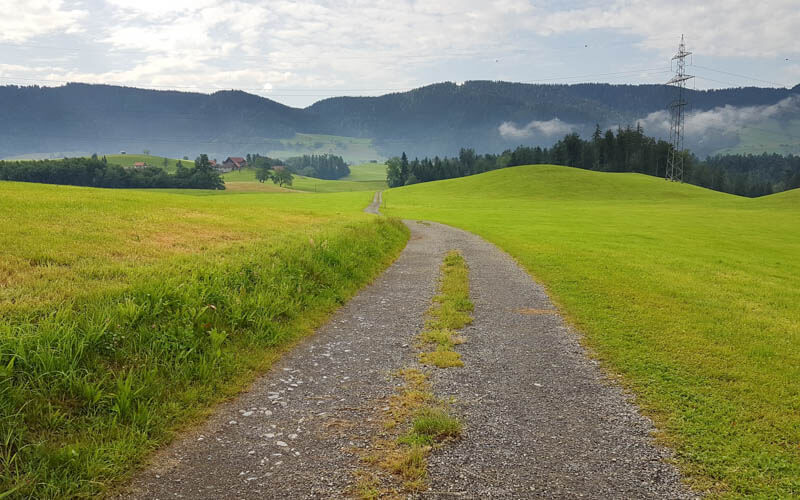
Then across the fields and down into the forest.
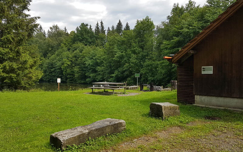
From Schönenberg, it’s about 1.6 km to the Teufenbachweiher, the little lake shown here.

There is a picnic area with a grill next to the lake.
2. Continue to Sihl River
From the lake, a short walk through the woods, then along another field.
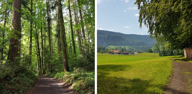
Follow the faint path in the grass on the side of the field.
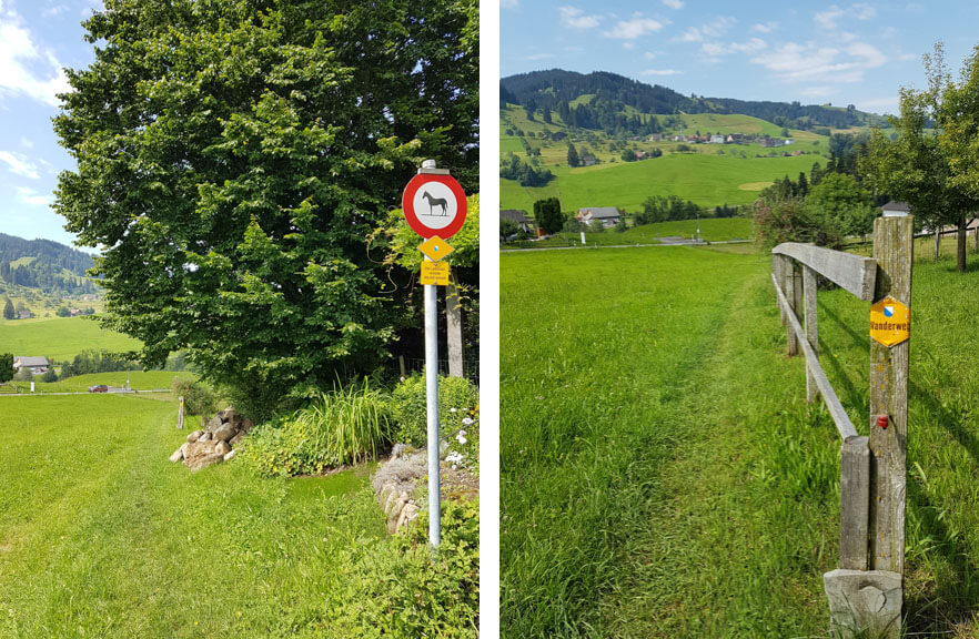
The path goes down to the road. Before the bridge, take the dirt path along the east side of the Sihl river.
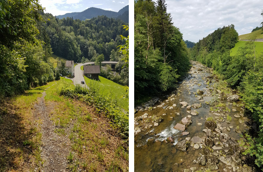
This part is easy walking on a wide dirt path, about 2 km along the river.
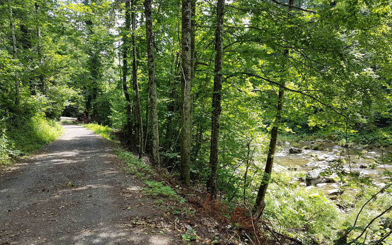
Lots of places to sit by the water.

The path ends just before a dam. Take the path that leads straight uphill, direction Hütten.
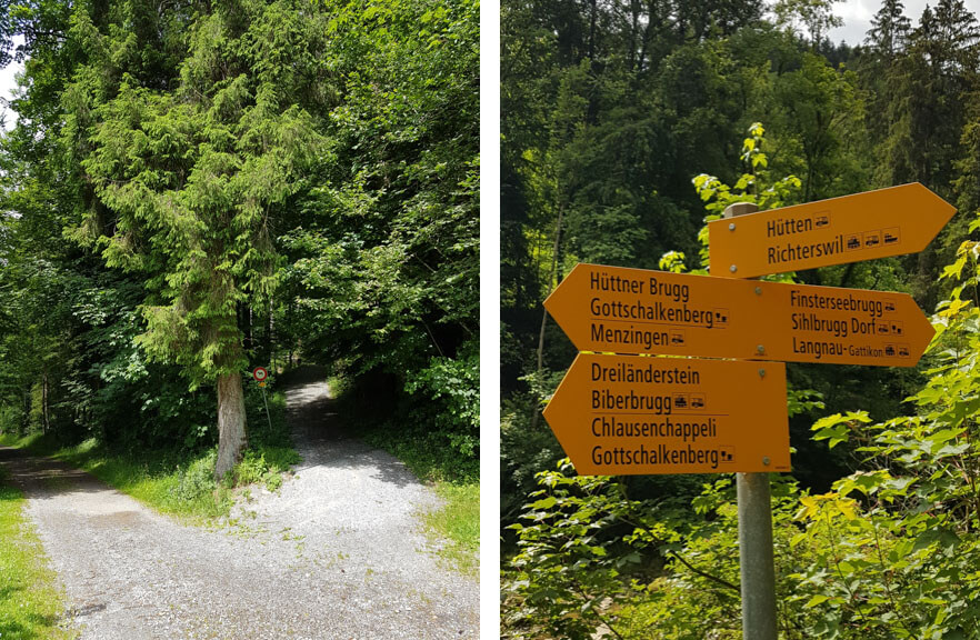
The path turns into a faint path on a grassy field. Just head to this village of Hütten.
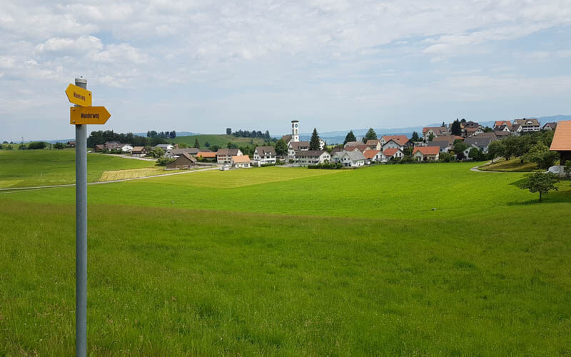
Here is Hütten. If you are doing the shorter version A, you can catch the bus here at Hütten, Schöntal back to your starting point. If you are still hiking, cross the main road and follow trail signs to Samstagern.

3. Down to Hüttnersee
From Hütten, you follow a quiet road down to the next lake.

At the fork, turn left, continuing to follow signs to Samstagern.
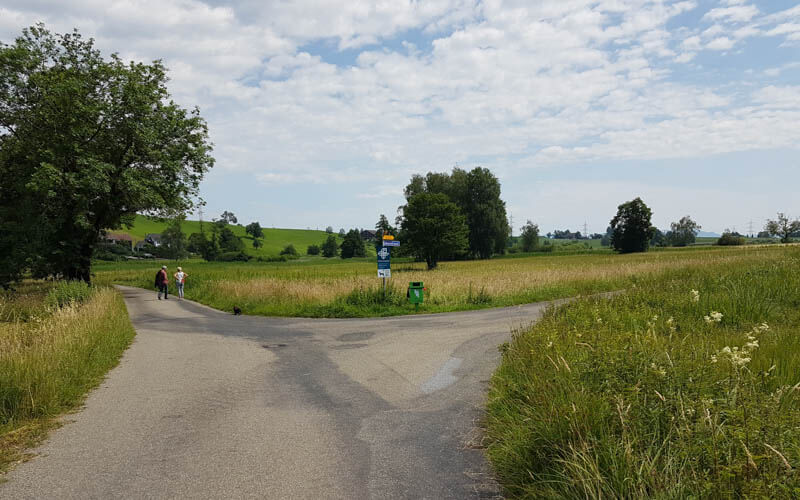
The path does not lead to the lake shore, there is no path right along the lake. Instead you are on a quiet road through these fields.
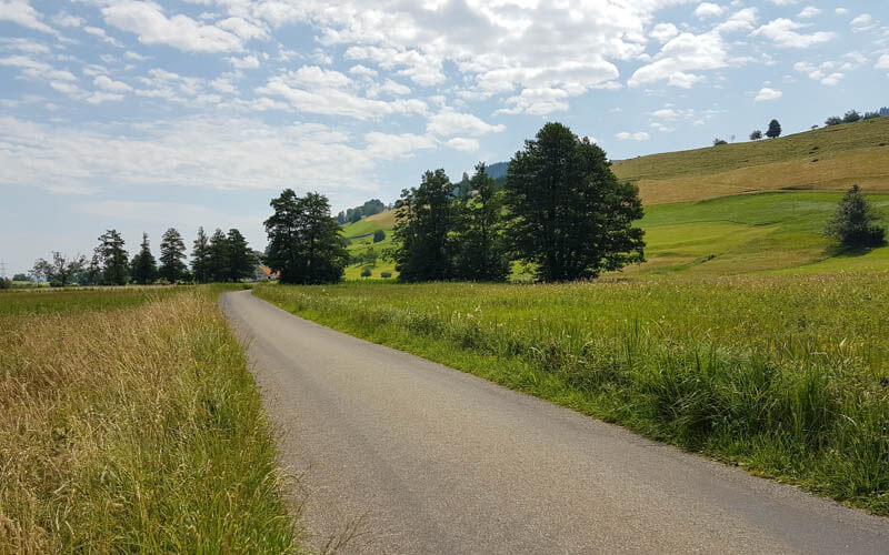
You will have nice views of the Hüttnersee lake. If you want to get close to the water, you have to walk around to the swimming area on the east side of the lake.

At the far side of the lake, the path briefly joins the busy road, then branches off on a walking path. It looks like it will lead down to the water, but it will veer to your right.
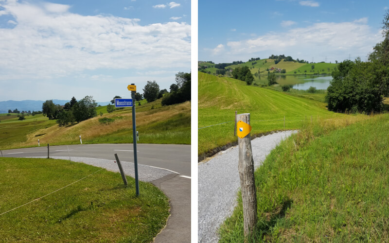
The path leaves Hüttnersee, continuing on a path that cross the main road and leads to the junction shown below. Turn left, following signs to Samstagern.
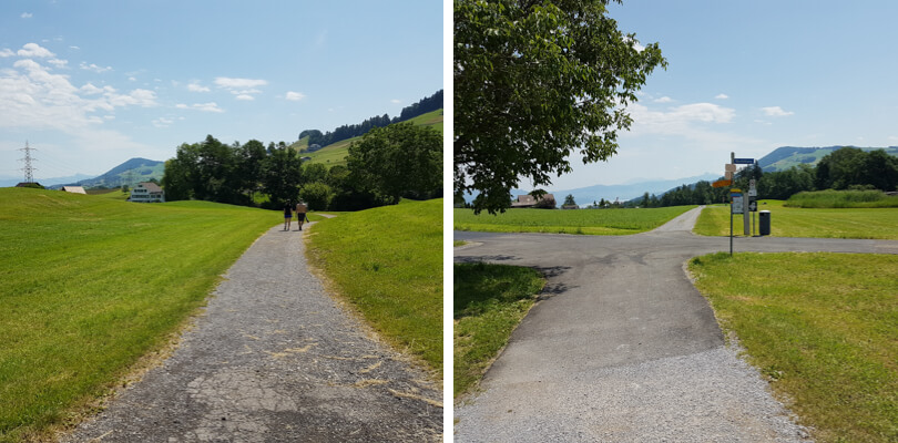
Right before you reach the next lake, Freyenweijer, the trail branches to your right down to Samstagern. But I think it’s worth taking a short detour and walking over to the lake.
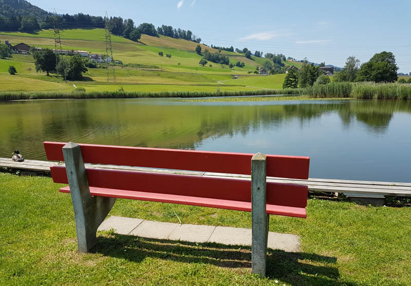
There are a couple grills. You can swim in this lake, there is a little ladder so you can easily get in and out of the water. If you need a toilet, a sign here suggests to you go to the nearby skate park, Freizeitpark Erlenmoos at Sihleggstrasse, 8832 Wollerau, but it is a 1.2 km walk to get there.
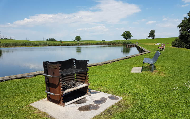
Go back to the path and follow the road down to Samstagern.

Here is the Samstagern train station. If you are doing the shorter hike version B described above, you start here.
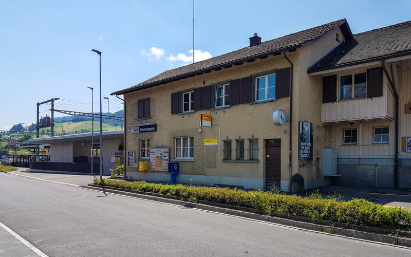
4. Continue to Sternenweiher lake
Now follow trail signs to Sternen and Richterswil.
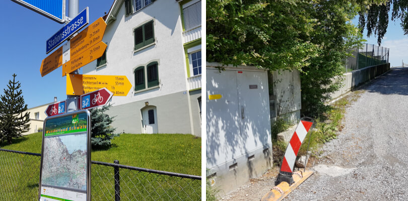
I particularly liked this field before you descend to Samstagern.
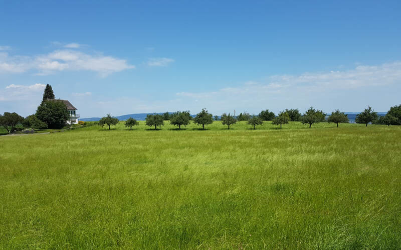
You’ll go under the train tracks through this tunnel.
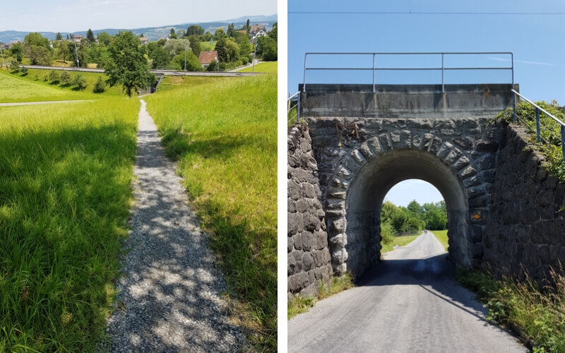
Then you reach the Sternenweiher lake. There is a small parking area at the lake.
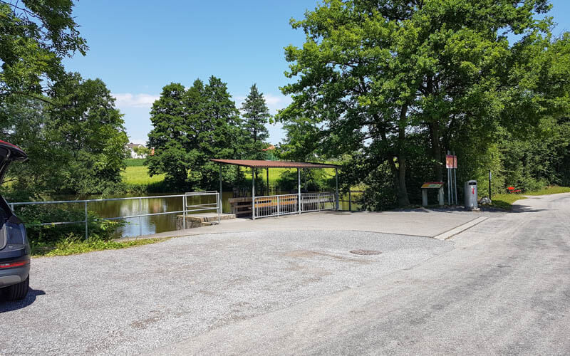
Instead of following the official trail across the bridge, you can take a short detour around the lake as shown here. Make sure to loop around to Mülibachstrasse so you can join the trail again.

Looking at Sternenweiher from the south side of the lake.

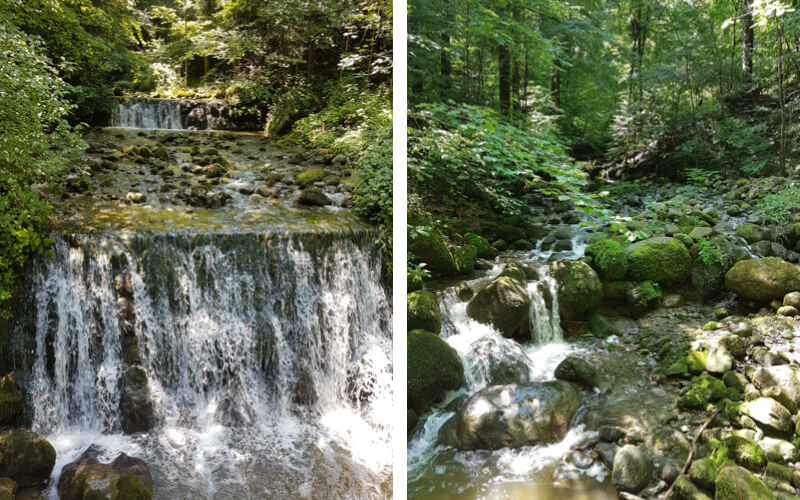
5. Down the Mülitobel
After you loop around, the trail will fork off into the forest as shown here.
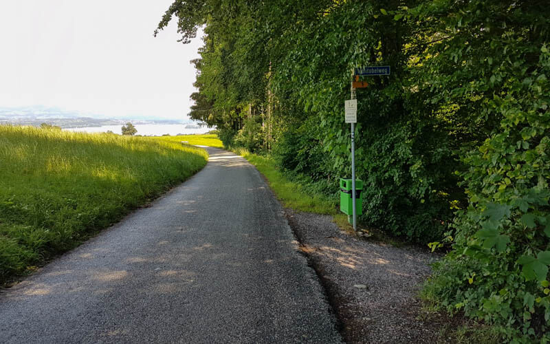
The path leads down to the river.
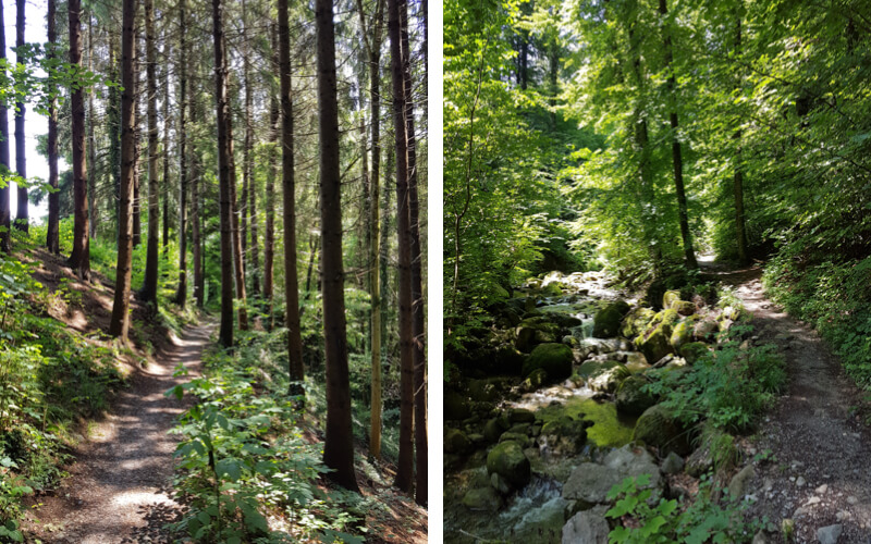
Lots of little waterfalls.
6. Ending in Richterswil
The path eventually exits the forest and heads into the Richterswil town.

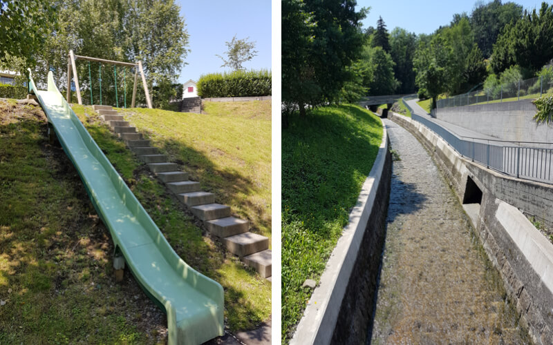
As you enter Richterswil, you’ll pass a small playground, then walk along a canal down to the Zürichsee lake.
Arriving at the Richterswil train station where you can catch a train back home.
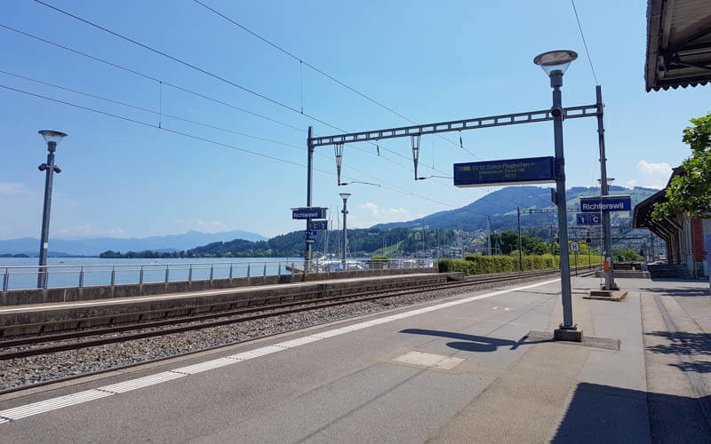
Congratulations, you made it all the way to the end!





2 responses
Thank you so much, walk looks lovely! I am having trouble seeing the embedded komoot map though, I’ve noticed that with other walks in your newsletter recently. Is it me, is there a way I can fix it somehow, as I also use the same app, and it would be fantastic if I could use your komoot tour while on the walk. Thank you for any tips!
I’m not sure why you can’t see the maps. Could you email me so we can figure it out? hello@swissfamilyfun.com