The Pfannenstiel Weg is a lovely forest trail in the hills southeast of Zürich. The first half of the trail is a wide dirt path through the forest, obstacle-free, suitable for strollers. At the half-way point, you visit a 35m tall tower, which you can climb for free and get fantastic panorama views of Zürich lake, surrounding countryside and mountains in the distance. Near the tower, there is a restaurant, playground and picnic areas with grills.
If you’re done walking, you can catch the bus home. Otherwise, continue on the second half of the trail (not possible with strollers), which descends into a beautiful forested ravine and follows a meandering stream down to Lake Zürich. This trail is possible year round but particularly lovely in fall (mid-Oct to early Nov) when the trees change color.
| Location: | Zürich region, Eastern Switzerland |
| Trail Start: | Forch train station, about 30 mins from Zürich |
| Trail End: | Meilen train station, about 30 mins from Zürich |
| Trail: | 11.3 km one way, about 3hr30 |
| Highest point: | 850m |
| Condition: | first half: wide dirt road, strollers ok second half: narrow dirt path with stairs, no strollers |
| Skill: | easy (2/5), 180m up, 430m down |
| Open: | year round |
| Prices: | free, public transportation to reach trail |
| Services: | restaurant at Vorderer Pfannenstiel |
| More info: |
Trail Map
This one way trail starts at the Forch train station and hikes through the forest to the Pfannenstiel tower. Near the tower, you’ll find a few picnic areas with grills. Just below the tower, you’ll find the Hochwacht restaurant and playground.
Then the trail descends, also through the forest, following a stream through a ravine down to the Meilen train station, near Lake Zürich. The trail on the second half is a narrow dirt path with lots of stairs, not suitable for strollers.
See trail map on Komoot • SchweizMobil • AllTrails • OutdoorActive
Stroller friendly version: The first half of the trail from Forch to the tower is possible with an all-terrain stroller. So just skip the second half and instead walk down to the Meilen, Vorderer Pfannenstiel bus stop and catch the 922 bus to the Meilen train station. This version of the trail is about 6km, about 2hrs walking. If you miss the bus, you can walk down to the Egg train station (about 40mins from the tower) and catch the train back to Zürich from there.
Getting There
This trail is located in the hills east of Zürich lake.
This trail is a one way trail best accessed by public transportation.
By public transport:
From Zürich Stadelhofen, catch the S18 train. This train leaves from Stadelhofen tram stop (next to the Migros grocery), not in the train station itself. Ride to Forch train station, about 27 mins from Zurich. On weekends, the S18 train runs every 30 mins on the xx:20 and xx:50. On weekdays, it runs every 15 minutes.
The full trail ends at Meilen train station, where you can catch a train back to Zürich. If you want to cut your hike short, at the halfway point near the tower, you can catch at bus at Meilen, Vorderer Pfannenstiel, which runs once an hour on the xx:14. This bus takes you to the Meilen train station.
By car:
If you must drive, it’s most convenient to park near Zürich Stadelhofen and following the same instructions for public transport. The closest parking garages are Parkhaus Opera (Schillerstrasse 5, 8001 Zürich) and Parkhaus Hohe Promenade (Rämistrasse 22A, 8001 Zürich). These parking garages are expensive, about CHF 4-5/hr.
Alternatively, you could park at the Meilen or Forch train station, which would be cheaper, and take the trains at the beginning or end of your hike. But you still would have to change trains at Stadelhofen. There’s no direction connection between Forch & Meilen.
You can also take the ferry home. It’s a short walk from the Meilen train station to the ferry dock. Check the ferry schedule here.
Photo Story of Trail
From the train station, follow the yellow trail markers that lead along the road. If you are there on the weekend, you’re likely to start with a bunch of other hikers that got off the train at the same time. Don’t worry, you’ll spread out soon.
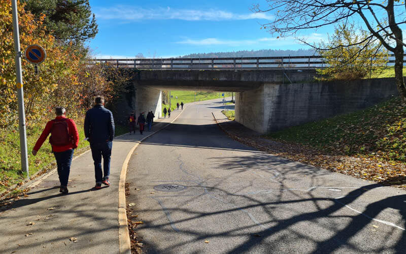
Just keep following the yellow trail markers that lead you up the road up the hill.
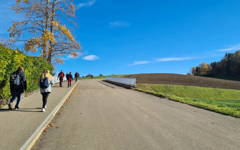
Enjoy the farmland on your way.
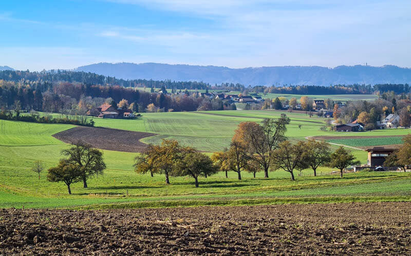
You get some nice mountain views before you enter the forest.
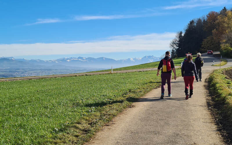
View down to the Greifensee. Maybe you’ll bike or walk around that lake next time. See details for Greifensee trail.

Now entering the forest. There are a couple roads/paths that split off in different directions. Continue following the yellow diamond trail markers.
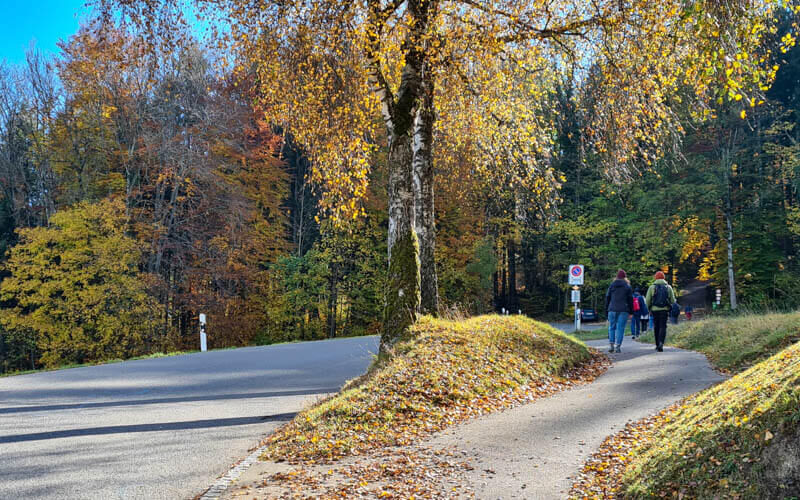
Starting in the forest
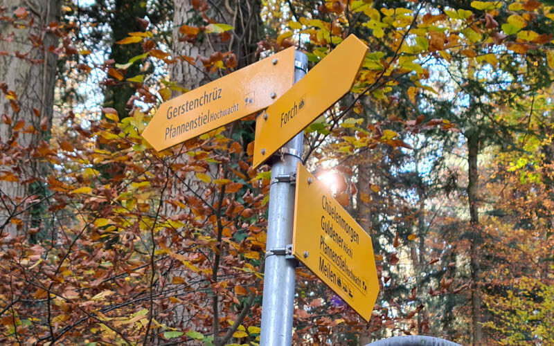
When you enter the forest, the trail splits. Go right.

At this split, both signs say Pfannenstiel, but the trail to the right is the main walking path, direction Chüelemorgen. The trail on the left mostly follows the road.
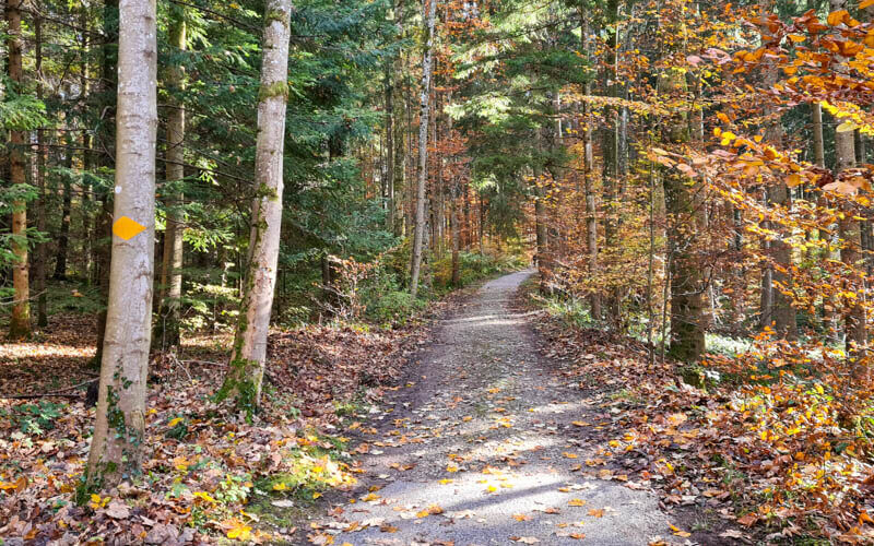
The forest path is a wide dirt path as show below. Just follow the yellow diamond mostly a dirt road, but stroller friendly, with only a couple places where the path narrows – usually you can take a short detour on the road to bypass that part. The trails are clearly marked with the typical yellow signs.

There are a lot of paths criss-crossing the forest. Just keep following the yellow diamond trail markers (shown below) and signs to Pfannenstiel.
So pretty at the end of October.
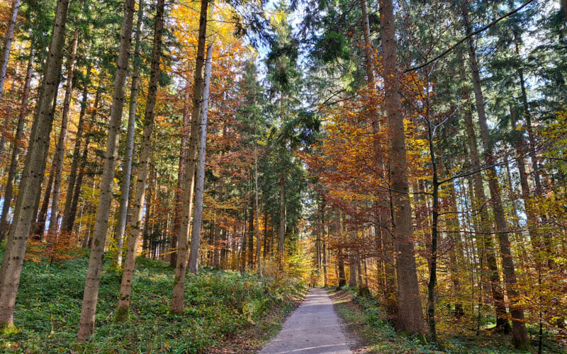
You’ll be in the forest for about 5km or maybe 90 mins. So relax and enjoy.

Arriving at the tower
Near the tower, the woods open up to a large field, which gives you a great view of the countryside, lake and alps in the distance.

There is a picnic area with tables and a grill just on the edge of the forest.

At the base of the tower, there is a picnic area with grills.

Just for laughs: here’s when I first did this trail back in 2005.

It’s 174 steps to the top of the tower. The stairs are quite narrow making it a bit difficult to pass someone. So it’s polite to wait on the in-between platforms if someone is coming the other way.

It’s a small platform at the top. On busy days, you might have to wait to get a spot with the lake view.

Loved the view from here. You can see almost the entire Lake Zurich and all the mountains from Pilatus and Rigi on the far right to the Churfirsten ranges on the far left. It was amazing!

View west towards Horgen.

View south towards Rapperswil.

Looking down to the base of the tower.

Looking back up at the tower, showing the path up.

Pfannenstiel Restaurant & Playground
Just below the tower, you’ll find the Hochwacht restaurant. As you can imagine, on sunny weekends, it can be quite busy.

There is a large grassy area in front of the restaurant with benches. Lots of people were just strolling and enjoying the view from here.

There is a small playground here.

Done hiking? Catch the bus
If you want to stop your hike here, follow trail signs to “Vorder Pfannenstiel” with the bus symbol. It’s about a 10 walk on the path down the grassy field to the Meilen, Vorderer Pfannenstiel bus stop as shown here. Rember t
Continue hiking? Start part 2 of the trail, hiking down
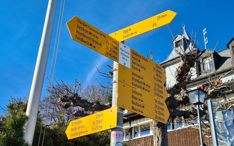
If you are continuing your hike, follow the trail signs to Meilen (bottom sign here pointing left).
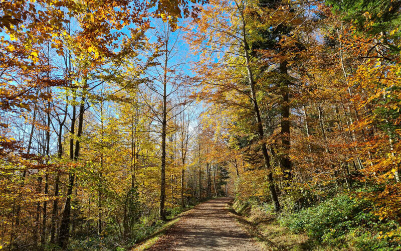
You start on the road that leads west from the restaurant, then join a path through the trees.
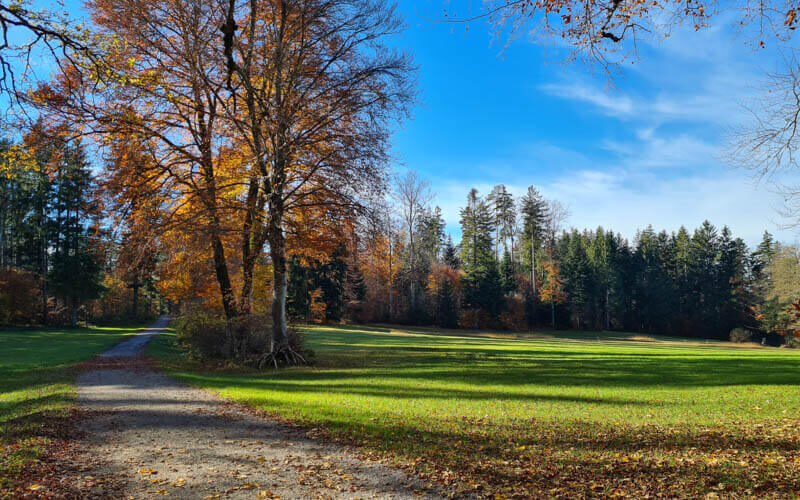
Sometimes you get a break in the trees.
Now you start the long descent, not too steep.
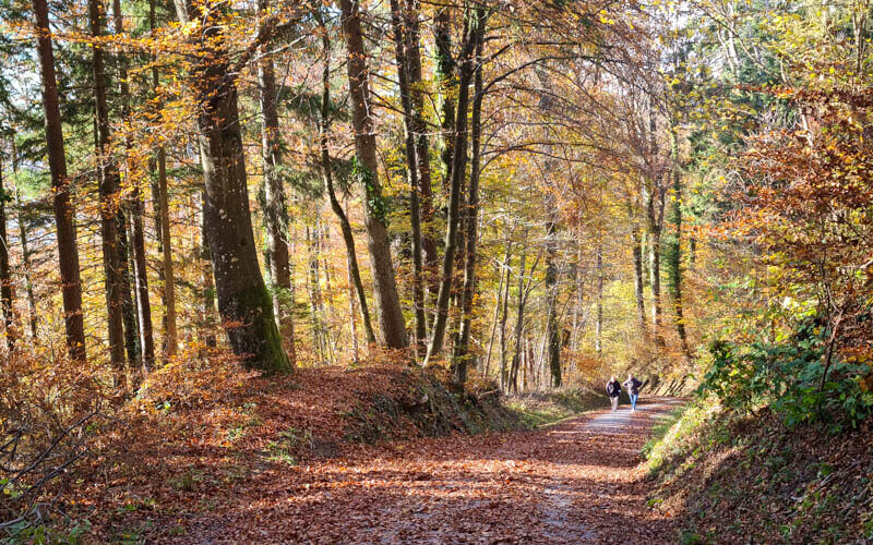
Keep following signs to Meilen.
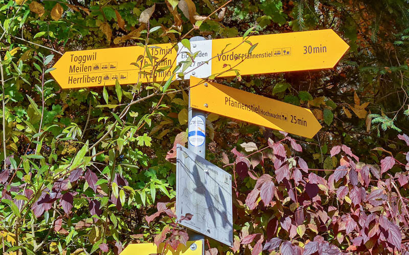
Last bit of the wide path.
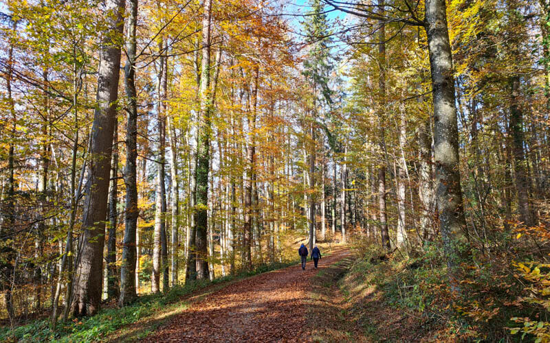
Now the trail narrows to a small footpath.
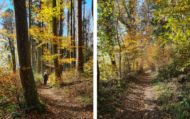
Another open view to the lake.
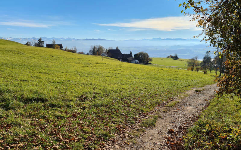
Pass through this small village. Keep following trail signs to Meilen.
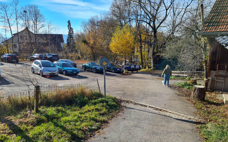
Right after passing through the parking area and crossing the road. Enter the ravine here.
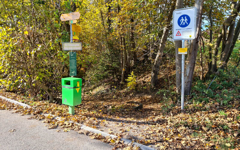
Now you follow a stream for the rest of the way. So pretty through here!!! Watch out for bikes. They are allowed on this very narrow path, which is a little crazy. The sign at the start of the ravine says that they decided to ask walkers and cyclists to respect each other on the trail instead of banning bikes. Whatever.
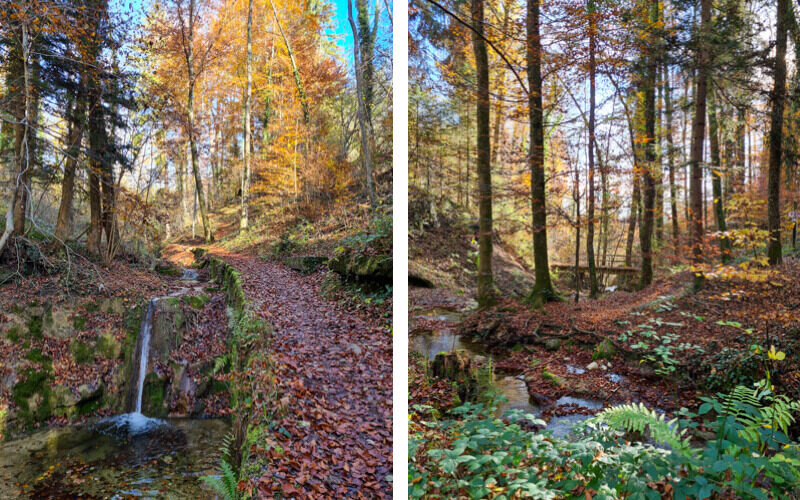
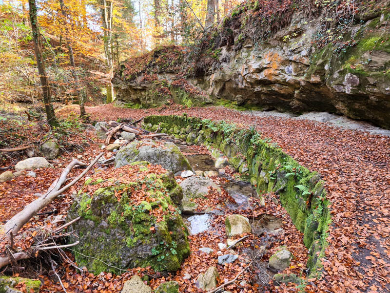
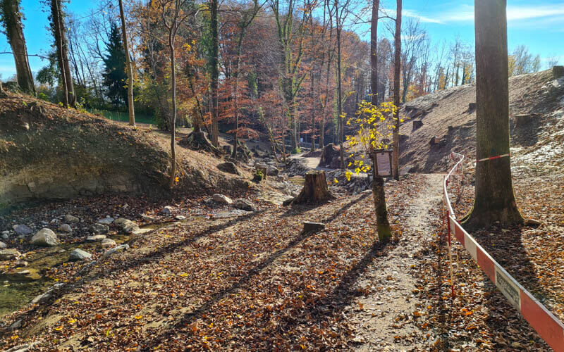
There is a short section that is under construction. But at least at the moment you can walk through here. Otherwise, they will have a marked detour around this section.
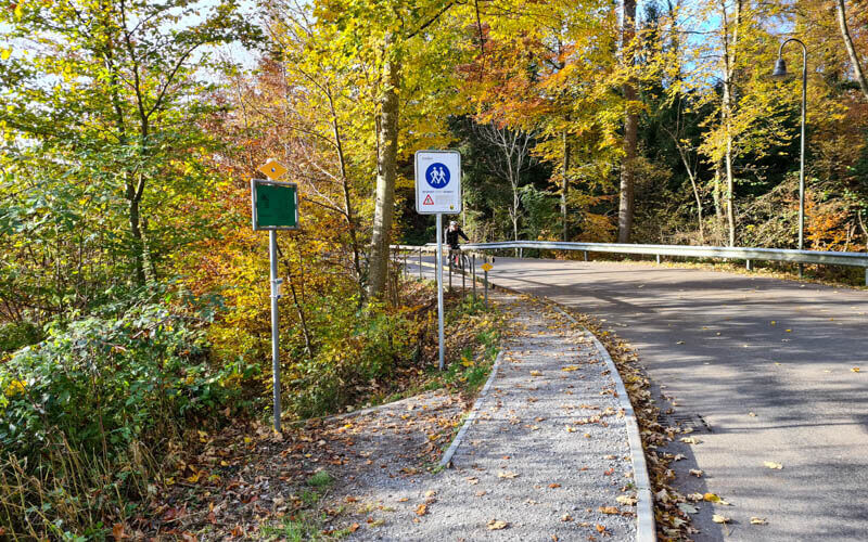
You’ll cross the road and continue on a small path down the ravine.
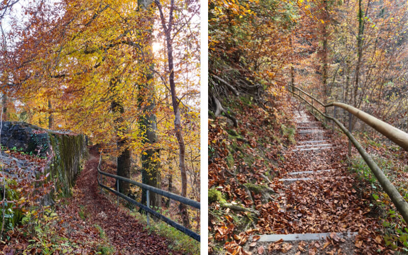
Some more stairs and then you stay high above the stream for awhile.
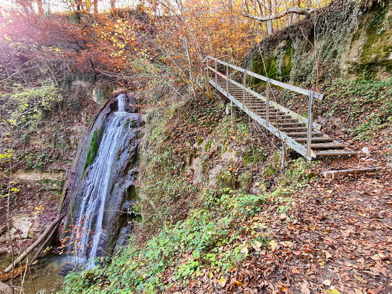
At this little pond, turn left still following signs to Meilen.
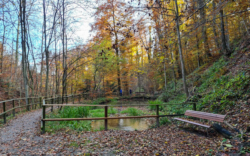
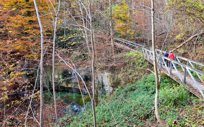
Looking back at the footbridge I just crossed after leaving the pond.
You exit the forest in the Meilen village. Sorry I didn’t take pics of this (a little boring and my phone was almost out of juice). You just walk along the road, following yellow markers and trail signs to Meilen with the train symbol.

About 10 mins after exiting the forest, you reach the train station. The train to Zürich comes about every 30 mins.

You can also take the ferry home. It’s a short walk from the Meilen train station to the ferry dock. Check the ferry schedule here.
Hope you enjoyed this little ramble!






4 responses
Thank you so much for this post! I followed all of your instructions and they were perfect! The pictures were a huge help too. Thank you for taking the time to make this such an easy experience for me being an outsider from Spain.
-kenzie
So glad you enjoyed the hike and found my instructions helpful. Yay!
Living in Feldmeilen (near the border of Herrliberg) and this is where I love to casually go for a longer walk.
For us, we skip the Forch to the tower part
instead, we take the 922 bus up from Meilen Bahnhof to Pfannenstiel Vorderer(leaving Meilen Bahnhof every xx.01).
Then a short walk up to the tower, hang out at the top for a while(grilling sausages, running around and there’s even a tiny playground at the restaurant) then walk all the way down home(until Eichholzweg, Rainstrasse then Meilen Tobel ; all the way down to Herrliberg-Feldmeilen station is also possible.).
Although, this is not at all stroller friendly trail, I’ve taken my 2 kids by myself (8&5 years old) and it’s totally doable, since there’s no overwhelming part.
My son’s class, their Götti class(in Feldmeilen Schulhaus) did that when he was in 1st grade all the way down to the school as an autumn field trip. Which was a big achievement for the little ones.
So happy to see the post about place that we like. 😉
Thanks for these helpful insider tips for this area. I can’t wait to go back and explore more.