Niederhorn is mountain near Interlaken with beautiful panoramic views over Lake Thun and the Bernese Oberland peaks. You reach the main viewpoint by riding a funicular train then gondola up the mountain.
At the top, there is a restaurant with an outdoor terrace and playground with fantastic views. Above the restaurant, there is a short fenced path along the cliffs, so you can safely enjoy the scenery. If you like to hike, you can wander along the ridge, with options from 2 to 11 km long (learn more about the trails here).
There’s also a nice picnic area and several lounge chairs in the alpine meadows where you can relax. At a lower gondola station, you can rent kick scooters.
Niederhorn is a great mountain for non-hikers to enjoy the views without much more. Niederhorn is also a good choice for spring and fall since the mountain transport here is usually open from late April to early November.
| Region: | near Interlaken, Berner Oberland |
| Address: | Beatenbuch-Beatenberg funicular train – Beatenbucht, 3658 Sigriswil |
| By car: | Parking GPS: 46°41’08.3″N 7°44’49.8″E 15 mins from Interlaken, 1hr45 from Zurich |
| By transport: | Beatenbucht bus stop 20 mins from Interlaken, 2hr from Zurich |
| Open: | late April to early November |
| Cost: | mountain transport CHF 59/adult Discount with Swiss travel cards |
| Extras: | restaurant, playground, picnic area, mountain scooters |
| More info: | website • webcam • forecast |
Gallery


Niederhorn overview
Here is the Niederhorn summer map showing the mountain transport (red line up the mountain) and hiking trails (yellow). The two mountain scooter routes are blue (A) and red (B).

How to get there
Niederhorn is in the Bernese Oberland, a bit north of Interlaken (see on Google Maps).

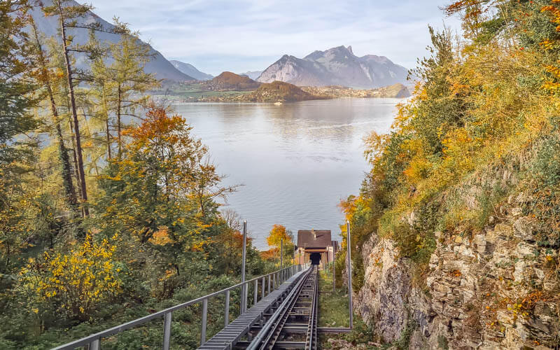
To reach Niederhorn, you take a funicular train from Beatenbucht on Lake Thun up the mountain to Beatenberg. From there you’ll take a cable car to Niederhorn. If you have time, start in Thun, then take a ferry to Beatenbucht.
By car: Drive to Beatenbucht and park in the metered lot near the funicular station. Make sure to pay for the parking.
By public transport: From Interlaken, take a bus to Beatenbucht, about a 20 min ride. From Zurich, take a train to Thun, then a bus or ferry to Beatenbucht.
Planning your day
Tickets
In 2024, a return ticket from Beatenbucht to Niederhorn costs CHF 59/adult.
Discounts for Swiss Travel Pass, GA and SBB Half-fare cards, and children 6-15. Free for Berner Oberland Pass, children under 6, and children with Junior Card.
If you are hiking, you can get a less expensive “Wanderbillet” aka hiking ticket. Just tell them where you plan to hike and they will sell you the right ticket.
Timetable
The Niederhorn mountain railways run for summer season from late April through early November. If you want to hike, the trails are usually open from June to October, snow dependant.
The mountain railways run from about 8:00 to 18:00, closting earlier in spring and fall, open later on some weekends. See current schedule.
Photo story
Riding up to Niederhorn
The pic below shows the valley station at Beatenbucht, with parking, the bus stop and a small lakeside cafe. Buy your tickets and board the funicular train, which takes you up to Beatenberg, a middle station.

The funicular has a glass ceiling, making it easy to catch the view.
In Beatenberg, switch over to the cable cars which take you to the top of Niederhorn.

Niederhorn viewpoint
The cable car drops you at the restaurant. there is a restaurant and small playground. We ate at the restaurant several years ago and really enjoyed our meal.
Above the restaurant, there is a short walk to a higher viewpoint over the cliffs. This path has a very safe fence, making it suitable for children.
View eastwards.
This picture shows the fenced viewpoint at the top of Niederhorn.
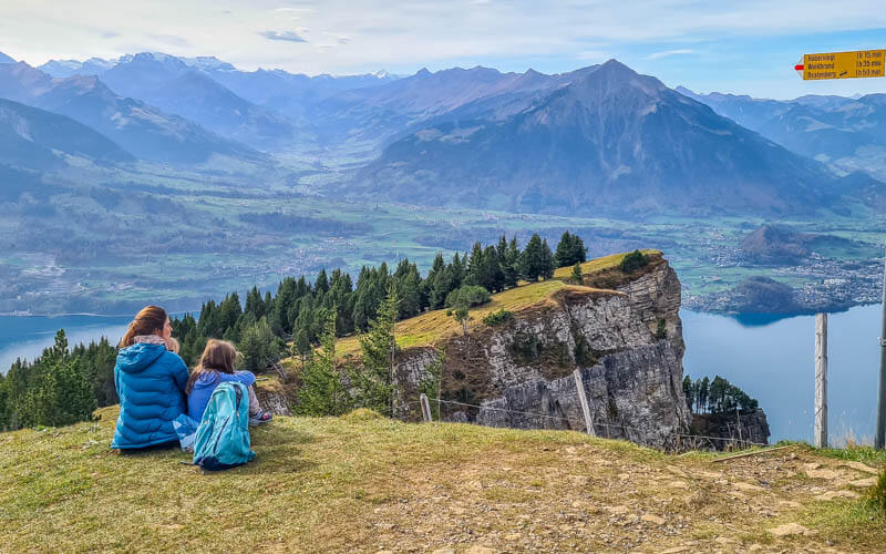
View towards Lake Thun and Mt Niesen.
In front of the restaurant, there is a playground with an obstacle course.

It also has a fun marble run.
There are a couple picnic areas with grills and lounge chairs.

Ridge Trail
The trail to starts above the restaurant and heads along the ridge to the east. It’s easy walking for about 10 mins, then it becomes a rocky trail uphill.

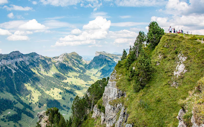
For casual hikers and kids, we suggest hiking to the Burgfeldstand viewpoint (shown below), about 2km from Niederhorn. This trail is relatively safely and not too long or difficult. After Burgfeldstand, it gets steeper and more exposed. Learn more about the ridge trail.

See more Swiss mountain viewpoints we love.



