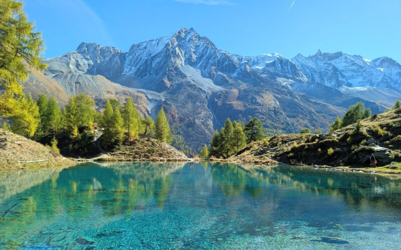
This trail leads through Europe’s oldest larch forest, located in Nendaz in southwest Switzerland near Sion. Mid October is the best time visit, when the ancient larches turn bright yellow and orange.
The route starts at a small lake that reflects the pretty trees, climbs to a panoramic summit, traverses a rocky ridge, and descends though a forest filled with many more golden larches.
Keep reading for details on hiking the Balavaux larch trail.
Quick info
| Region | Central Valais, southwest Switzerland |
| Address: | Nendaz Tracouet gondola – Route de la Télécabine 59-61, Nendaz |
| By car: | Metered parking next to gondola From Sion 30 mins, Montreux 1h, Bern 2h, Zürich 3h20 |
| By public transport: | Bus stop: Haute Nendaz, Télécabine From Sion 42 mins, Montreux 1h40, Bern 2h11, Zürich 3h15 |
| Trail: | 2h45 • ⬇️trail map |
| Distance: | 6.3 km loop |
| Difficulty: | moderate • 517 m up, 523m down |
| Condition: | dirt footpath, uneven terrain, boulders, mild vertigo |
| Elevation: | 2040m to 2460m |
| Open: | late June to late October |
| Cost: | round trip on gondola CHF |
| Discounts: | no discounts with travel cards |
| Services: | hut café near lake, restaurants at both ends of hike |
| More info: | • weather • instagram |
Gallery
Trail Overview
This trail starts at the top of the Haute Nendaz-Tracouet gondola, where you’ll find a small lake that reflects the pretty trees.
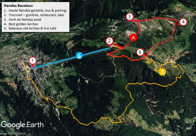
The hike starts with a steep climb to the Dent de Nendaz peak for a panorama view across the Valais valley. Then traverses a rocky ridge and descends though a forest filled with many more golden larches.
End on a service road looping back thru the Balavaux area, home to centuries old larches. Then back up to the gondola and ride down to your starting point.
If you prefer a longer hike, you can hike all the way down to Haute Nendaz. It’s mostly in the forest, so no big views. But we enjoyed it.
If you are visiting in October, it is very important to check the trail status, particularly for snow at the higher elevations.
Hiking Map
The trail map below shows the loop trail we recommend.
See trail map on Komoot • SwitzerlandMobility
Variations
The Nendaz websites recommends a different Balavaux route, which I wholly disagree with. This route skips the peak and upper larch forest, which was our favorite part of the hike.
For research purposes, we joined this “official” trail after the Balavaux hut and hiked all the way down to Tracouet. This lower section was fine and was cheaper since we only needed a one-way ticket. But it’s mostly deep in a forest with not so many larches and not so many views.
I would only do this one-way version if you wanted a longer day.
How to get there
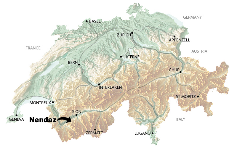
Nendaz is a mountain in southwest Switzerland, near Sion. You can reach the Nendaz village by car or bus. The hike is reached via the Tracouet gondola.
By car
From Sion, drive 30 mins up a winding mountain road to Haute Nendaz. The gondola, Télécabine de Tracouet, is located at Route de la Télécabine 59-61, Nendaz. Park in one of the metered lots next to the gondola station.
These meters do not use the popular parking apps like EasyPark or ParkingPay. So you’ll need to pay by card.
By public transport
Take a train to Sion. Then bus 362 to Haute-Nendaz, Telecabine, which drops directly in front of the cable car. Travel time from Sion about 40 mins.
Planning your day
Tickets
For this hike, you’ll need a round trip ticket for the gondola from Haute Nendaz to Tracouet.
In 2025, this ticket costs CHF 25/adult, CHF 21/youth age 18-20, CHF 13/child age 10-17, under 10 free
No discount with travel passes, Half Fare Card or Junior Travelcard.
Opening times
The gondola is open mid July to late October, daily 9:00 – 16:30.
Golden larch season is usually the second and third week of October. Check webcams for color status. Our pics here are from 10 Oct 2025.
The cable car typically runs until the last weekend of October (check status). If it’s not running, you could hike up to the Tracouet, about 2.5 hours, then do the hike (my friend did it and does not recommend it).
Where to eat
There is a self-service restaurant at the top of the Tracouet gondola.
The Cabane de Balavaux hut is on the trail (see hut location on map). It is usually open the same days as the gondola. They offer hot meals from 11:30 to 15:00 and drinks and snacks until about 16:30. They also offer overnight accommodations.
Photo Story
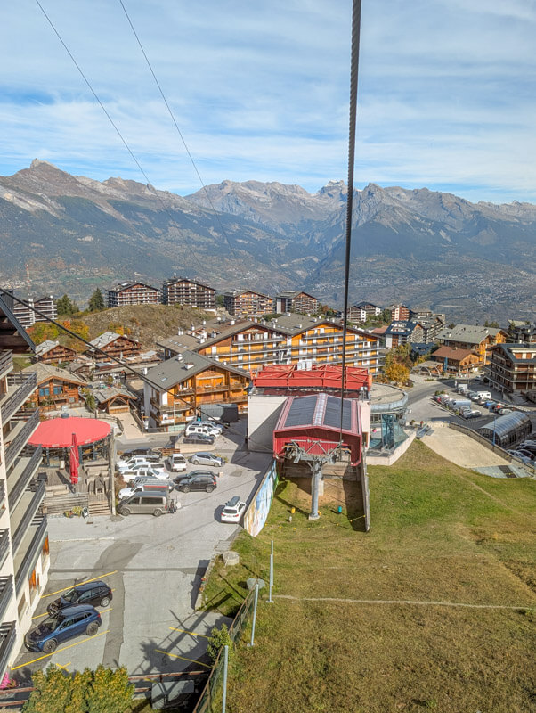
Riding the gondola
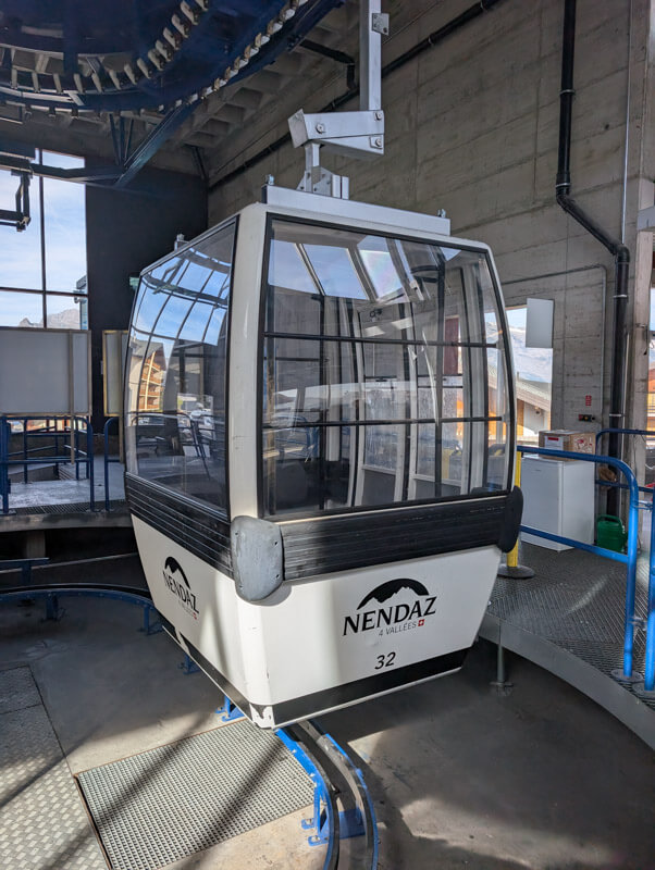
The gondola departs from Haute Nendaz. Each gondola fits 12 people. It runs continously through the day.
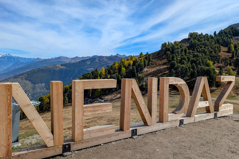
Nendaz sign at the top of Tracouet.
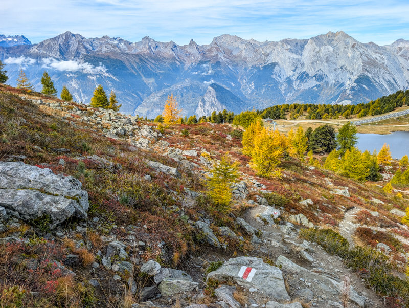
As soon as you step off the cable car, you already see beautiful larch trees next to the Tracouet lake, a taste of what’s to come.

Walk around the lake to reach the trail. You can see the Dent de Nendaz peak in the distance.

If you don’t want to do the full hike, there are trails wandering around this area, which would be delightful.

Hiking up to the peak
Now follow the trail heading straight up the mountain.

Looking back on the trail.
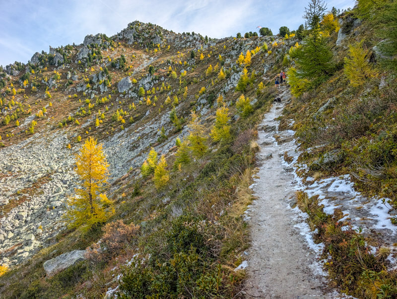
In fall, this part of the trail is very shady and can collect ice. It had snowed a few days before and it was warm enough to melt it all. But a few icy patches remained on this part of the trail and it was very slippery.
Happy to reach the sun again. The rest of the trail remained in the sun.
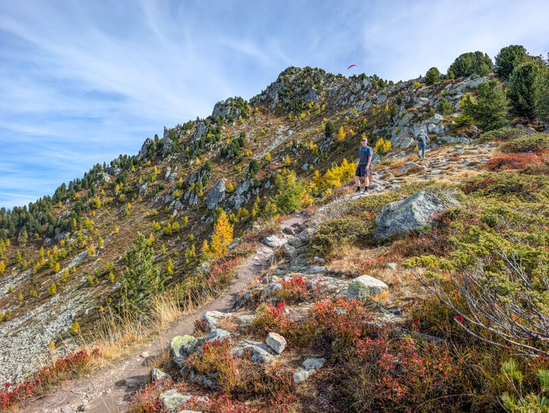
The trail traverses around the back of the mountain.
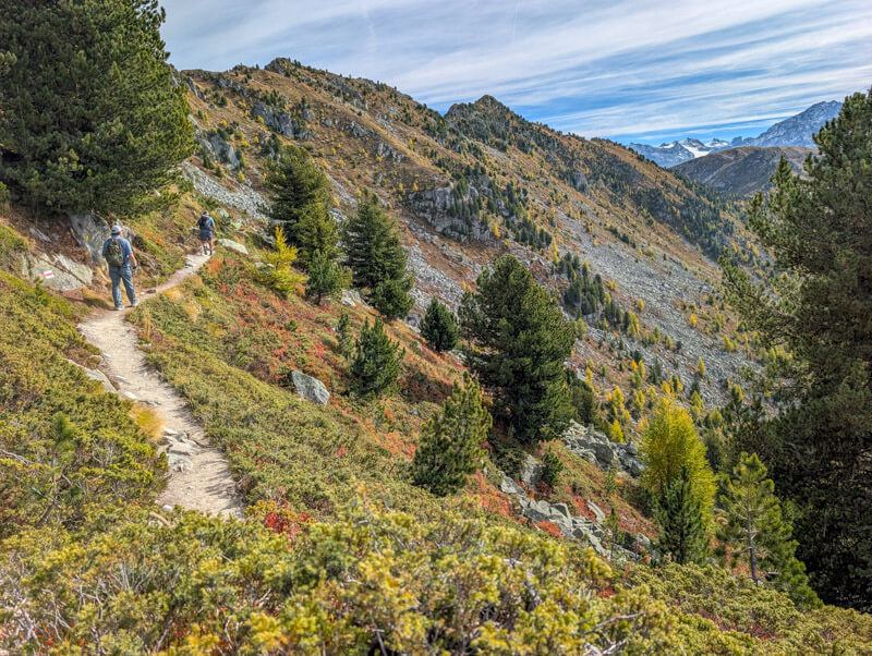
The climb feels longer than it is.

More grassy as we approach the top.
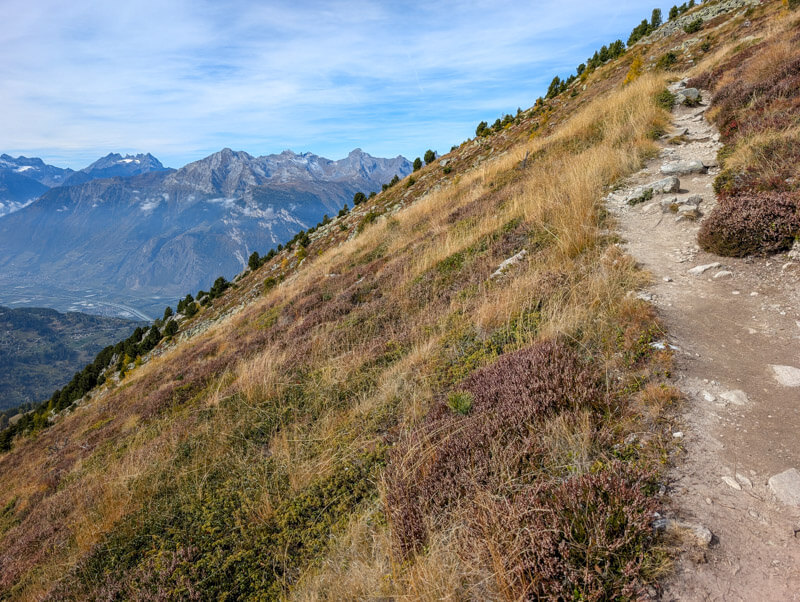
Last push to the peak.
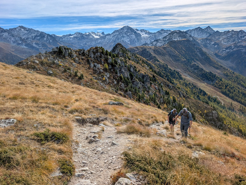
Arriving at Dent de Nendaz peak
It took about 30 mins to hike up to the peak, gaining 267m over 1.7 km.
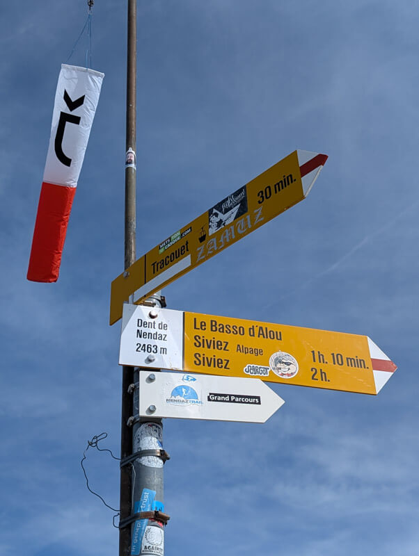

Looking down on the trail we hiked up.

Looking down at the Tracouet gondola.

Great views across the valley.
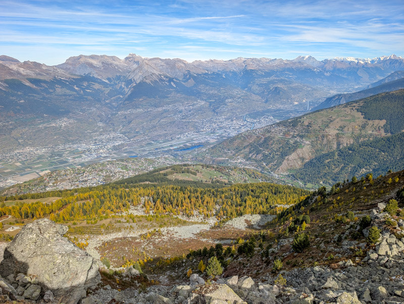
Hiking along ridge
Now follow signs towards Le Basso d’Alou and Plan du Fou, which will lead you along this ridge.
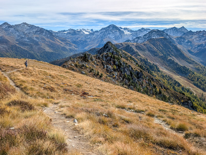
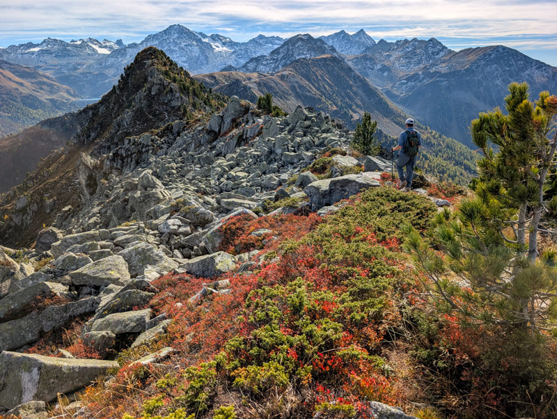
This section of the trail gets very rocky.

If you love ridges, you’ll love this part of the trail.

Looking east to the Nendaz valley.

We had to climb over many big rocks and boulders on this part of the trail.
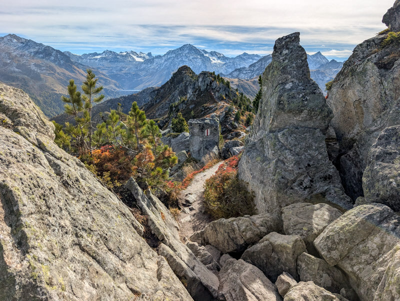
Sometimes it was a little hard to tell where the trail was. If it looks wrong, walk back a bit and make sure you are on the right path.
Down thru larch forest
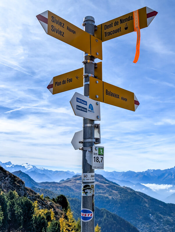
At this sign, fork right and follow signs down to Balavaux.
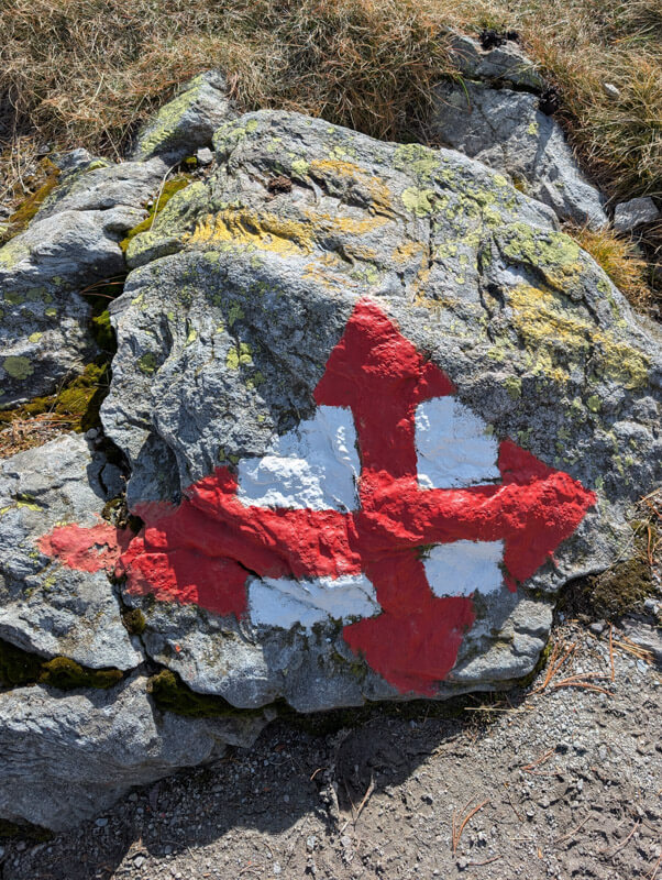
Now you descend through a beautiful larch forest, the best part of the hike!
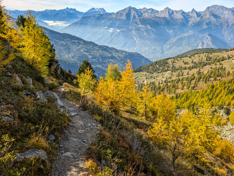

You descend about 300m on steep switchbacks, but you barely notice it because it’s so pretty.
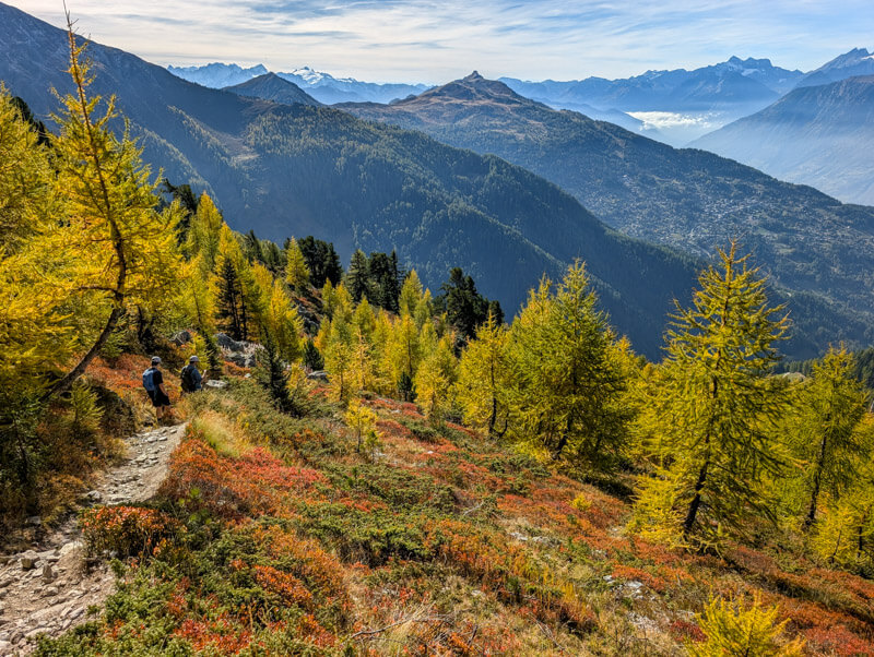

About halfway down, the path gets rocky. You have to watch your feet a bit carefully here.

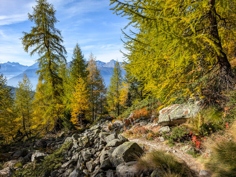
The end of the descent turns into more open meadows.
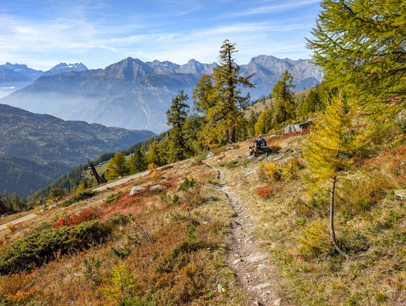
Joining service road
Here the trail joins a service road. Turn right and follow signs to Balavaux.

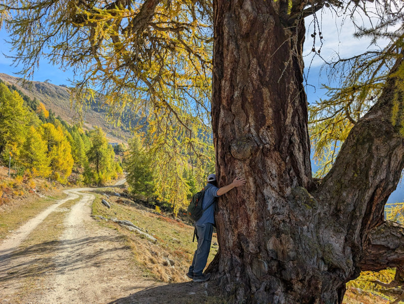
In this section, you’ll see the oldest larch trees, very thick and tall, and a little crazy looking.

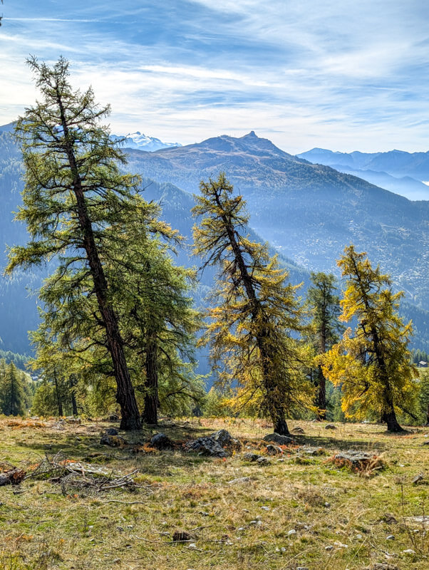
Giving the trees a little love and soaking in their energy.
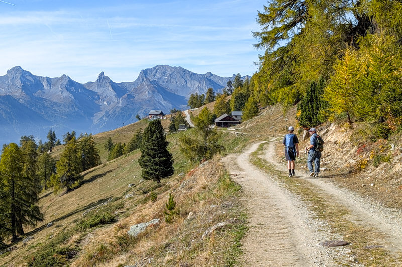
Continuing on the service road.
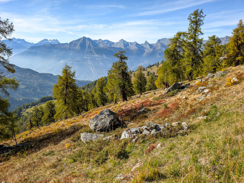
The trees lower down were still mostly green.
Arriving at Cabane de Balavaux, happy to take a break.
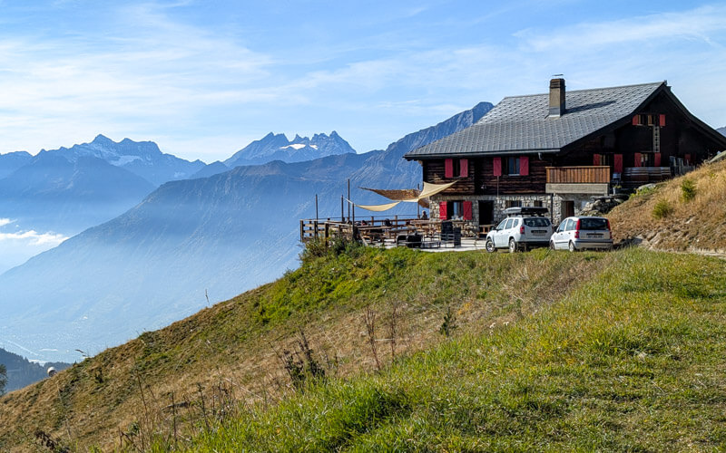
In the late afternoon, they were no longer serving hot food. But we did get delicious homemade lemon-mint iced tea and blueberry tart.
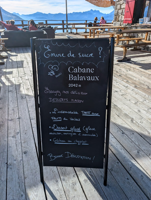

Looking back on the forest we walked through. Looks so green from this angle. It will only get more beautifully yellow and orange in the next two weeks.
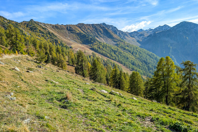
From the hut, follow trail signs to Tracouet to return to the gondola. You’ll pass through more of the old larch forest on your way.

Hope you enjoy this hike!
➡️ See more golden larch hikes.