This hikes leads to Morgartenberg, a lovely viewpoint across the countryside to the mountains beyond. It’s a quiet trail, with a few locals and no fan-fare. Just pretty views, birds singing and a few cow bells.
We love that this hike is free, no mountain transport needed. The low elevation makes this hike is perfect for spring, with flowers blooming here starting in mid to late April.
Keep reading for all the details for this hike.
Quick Info
| Region | near Einsiedeln, Canton Schwyz |
| Start/End: | Rothenthurm train station |
| By car: | Metered parking at Rotenthurm train station From Zürich 35 mins, Lucerne 1 hour |
| By public transport: | Rothenthurm train station From Zürich 1h, Lucerne 50 mins |
| Trail: | 3 h • ⬇️ trail map |
| Distance: | 9.6 km loop |
| Difficulty: | Moderate (3/5) |
| Up/Down: | +410 m / -410 m |
| Highest point: | 1243m |
| Conditions: | mixed: footpaths with uneven terrain and stairs, gravel and paved roads |
| When: | April to November |
| Cost: | parking or train to reach the trail |
| Services: | WC at train stations, restaurant in Rotenthurm village |
| More info: | schwyz-tourismus.ch • weather • webcam |
Gallery
My pics are from our hike the third weekend of May, perfect timing in my opinion.
Trail overview
This loop starts at the Rothenthurm train station. It hikes counterclockwise, reaching the Morgartenberg viewpoint in about 90 mins.
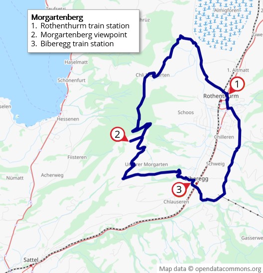
Then down the mountain to Biberegg and an easy wander through meadows back to your starting point.
Hiking map
This hiking map shows the trail in a bit more detail.
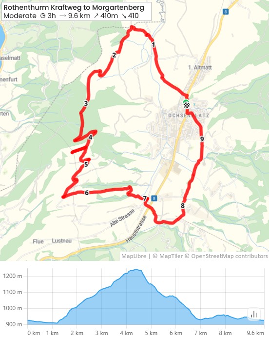
See map on SchweizMobil • Komoot • OutdoorActive
Shorter version
For shorter hike, you can end at Biberegg train station and ride home from there or to Rothenthurm to get your car. This saves you about 40 mins walking. The train comes once an hour, a bus on the half hour. Check schedule.
Longer version
For a longer hike, when you reach Biberegg, join the Mäderenweg and hike up to Mostelberg or beyond.
How to get there
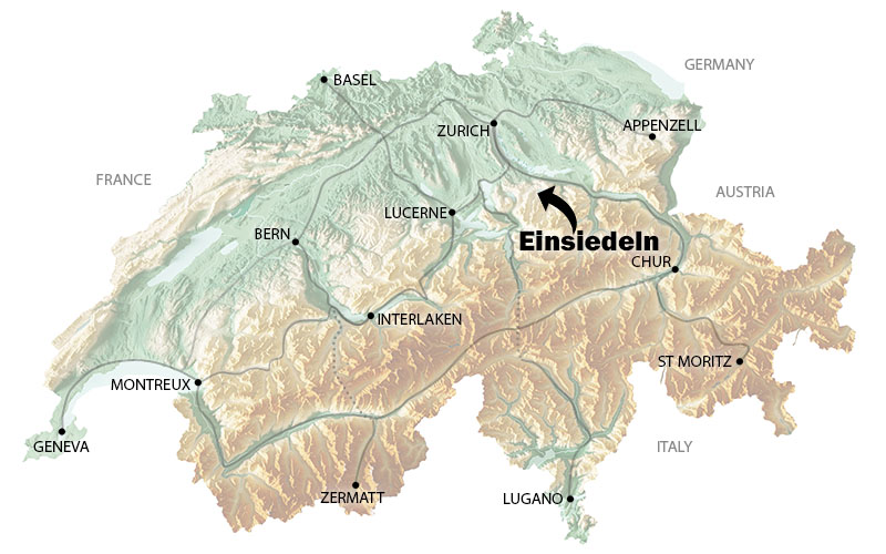
This trail is located near Einsiedeln, south of Zürich. The trail is a loop from the Rothenthurm train station
By public transport:
Take a train to Rotenthurm train station. Check schedule Luzern > Rothenthurm or Zürich HB > Rothenthurm.
By car:
There is metered parking next to the Rotenthurm train station. If that’s full, you can park in the Gemeinde Parkplatz.
Where to stay
The Schwyz and Einsiedeln-Ybrig-Zurisee regions are perfect for a spring getaway.
If you want to stay in this region, here are some places we suggest:
- Oberägeri: Hotel Ländi – lovely location lakeside and nice restaurant
- Einsiedeln: Boutique Hotel George – in the cute village center and short walk to train station.
- Zug: Hotel Löwen am See – lakeside in the old town, near train station and more services than the smaller villages
Planning your day
When to go
This hike is usually snow-free from April thru early November. If there is spring snow, you can check nearby mountains of the same elevation (like Sattel Mostelberg webcam) to see there might be snow on Morgartenberg.
We think this area is nicest starting late April the fruit trees start flowering.
Costs
Your only costs are for the train to reach the trail or parking if you drove.
Where to eat
In Rothenthurm, there are a few restaurants along the main road. For something quick, perhaps Pizza & Kebap, a short walk from the train station.
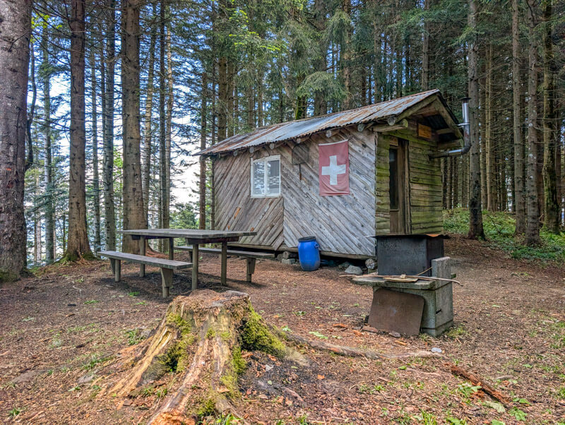
There is a Feuerstelle picnic area near the Morgartenberg viewpoint.
Photo story of trail
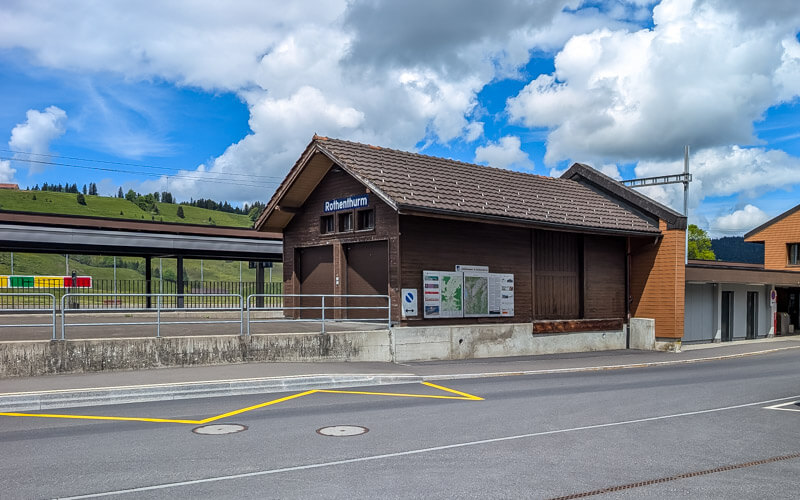
This is the Rothenthurm train station. There is a free public toilet here and a Volg grocery nearby if you need picnic supplies.
Starting the trail
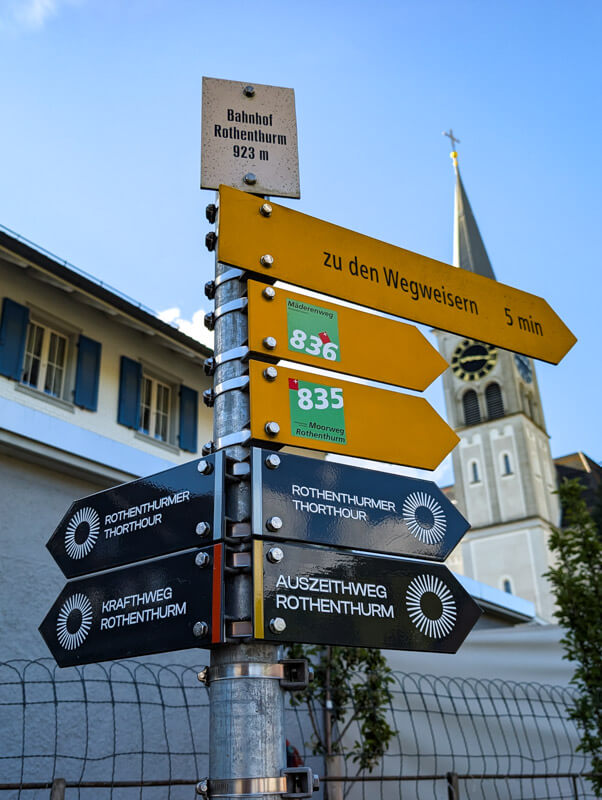
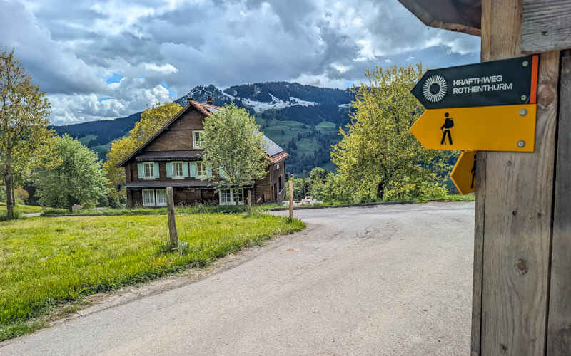
Follow the signs for “Kraftweg Rothenthurm” , walking to the main road and left to cross the train tracks.
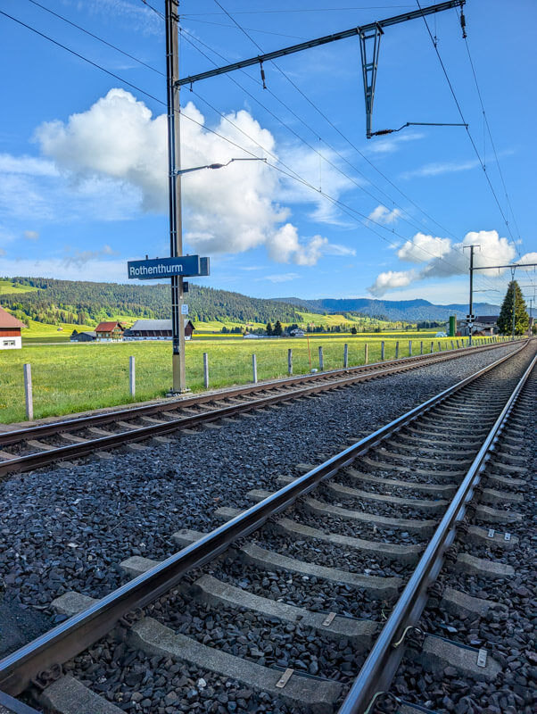
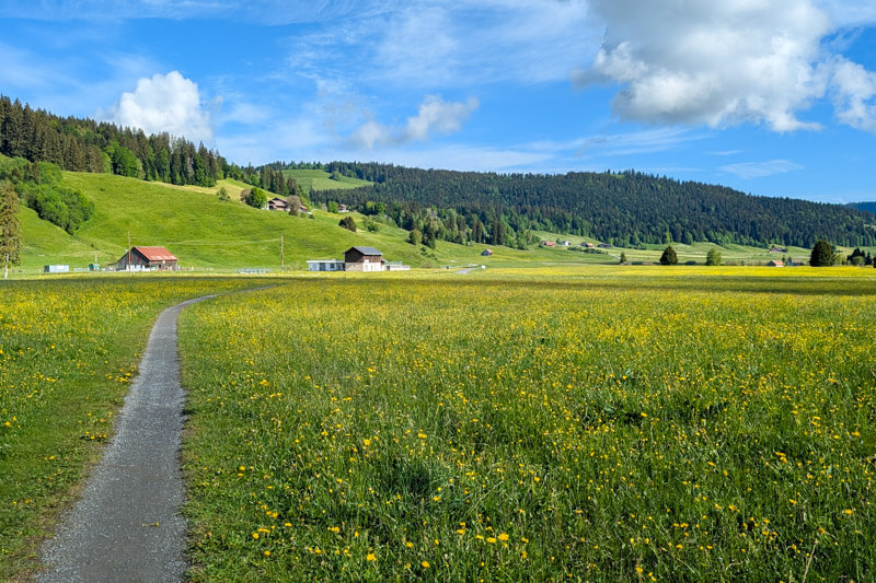
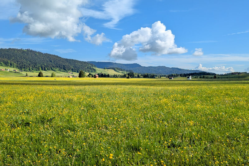
The walk starts across flat fields
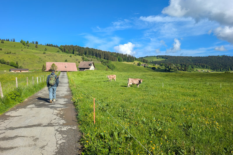
The hill you will soon climb is just to the left of you.
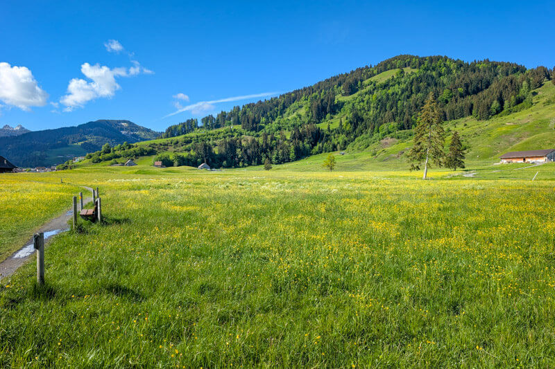
Lots of flowers in May.
Climbing the hill
Now you leave the road, following the yellow trail signs pointing up the hill.
PromotedDon't miss out on today's trending deals!
Join thousands of users enjoying exclusive benefits right now.
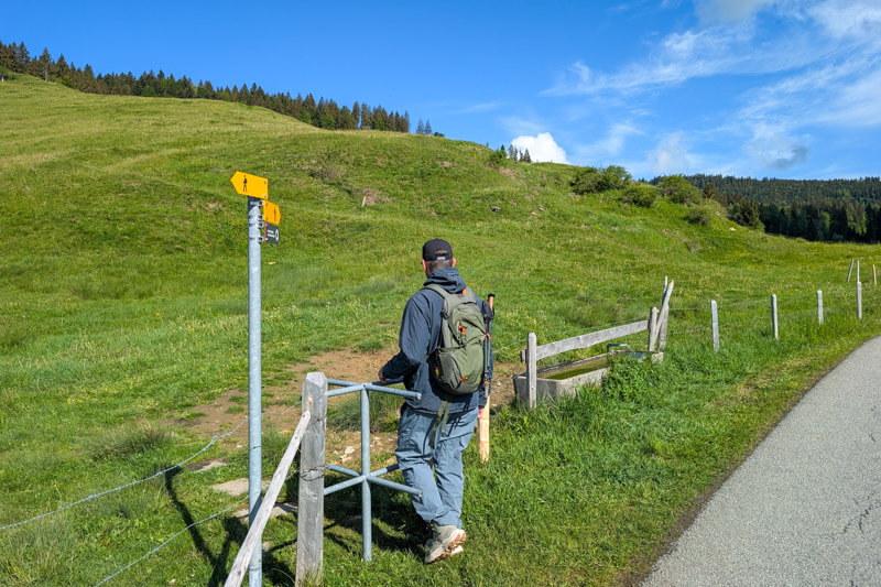
Now it’s a steady climb uphill, starting through these meadows.
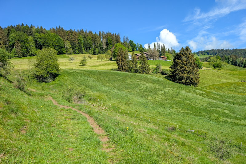
Looking back on the trail.
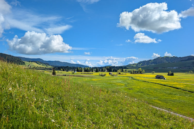
A gentle ascent at first.
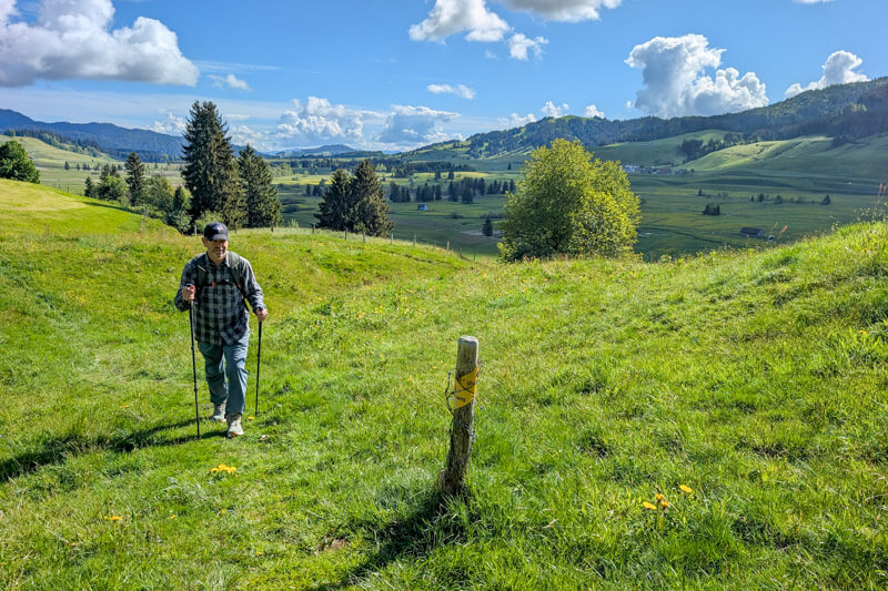
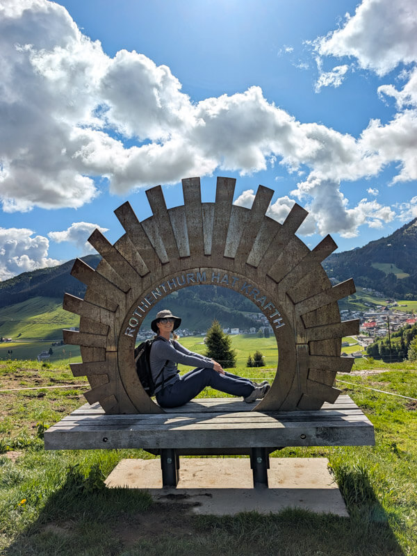
The view gets better all the time. This photo spot is associated with the trail.
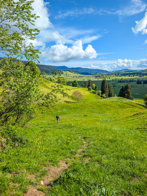
Joining a service road for a bit and passing by some cows.
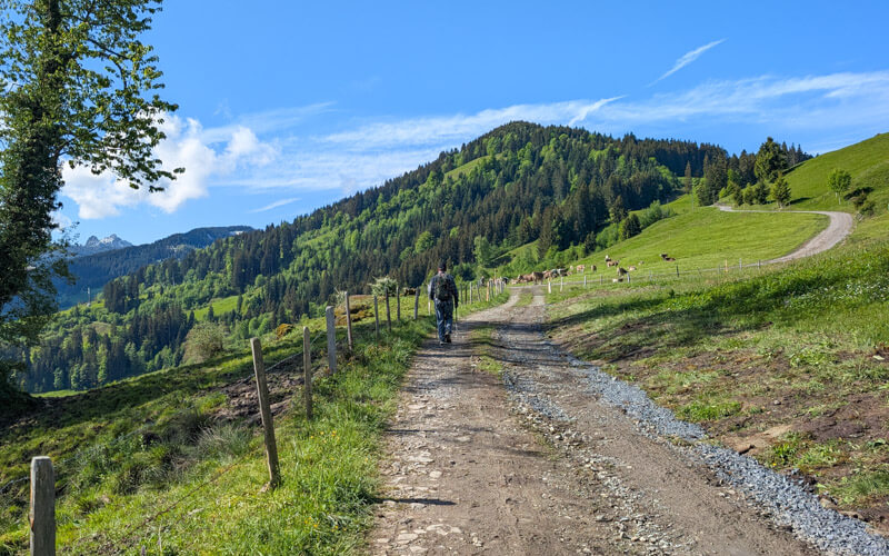
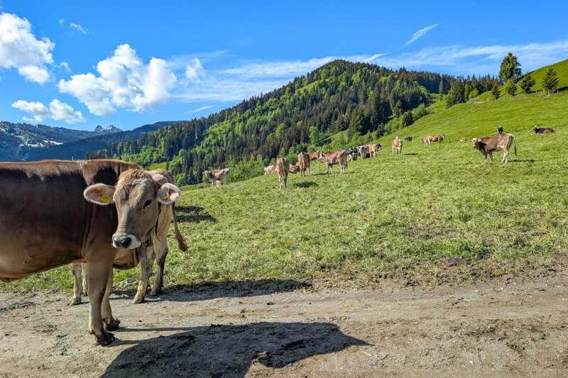
Now fork right off the road into the forest.
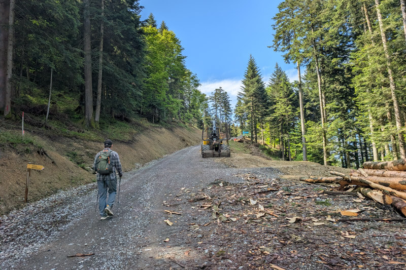
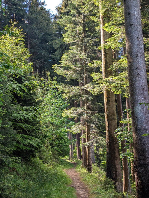
It’s nice to have the shade while you finish the climb to the peak.
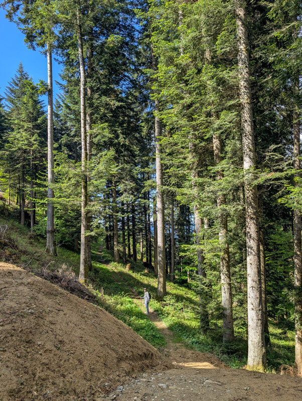
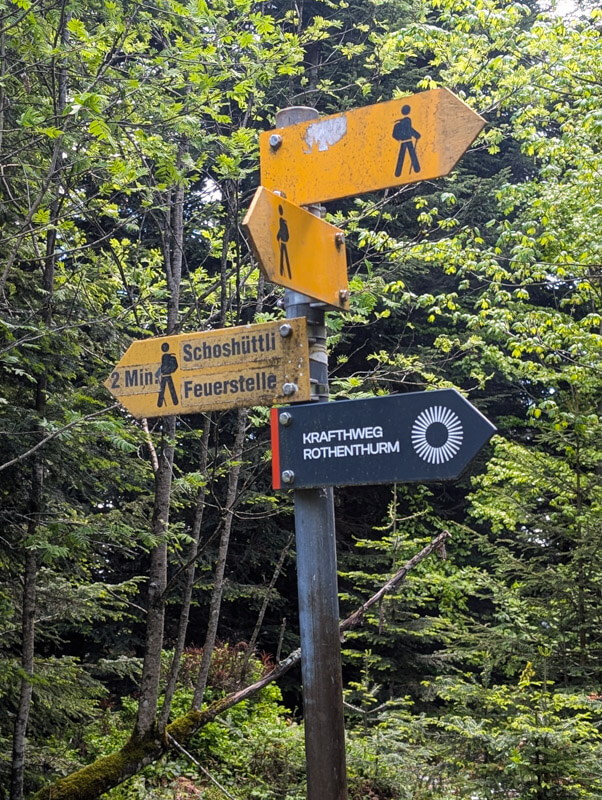
When the climb is over, you’ll see this sign. The picnic area shown below is on your left. The trail continues to your right.
Morgartenberg viewpoint
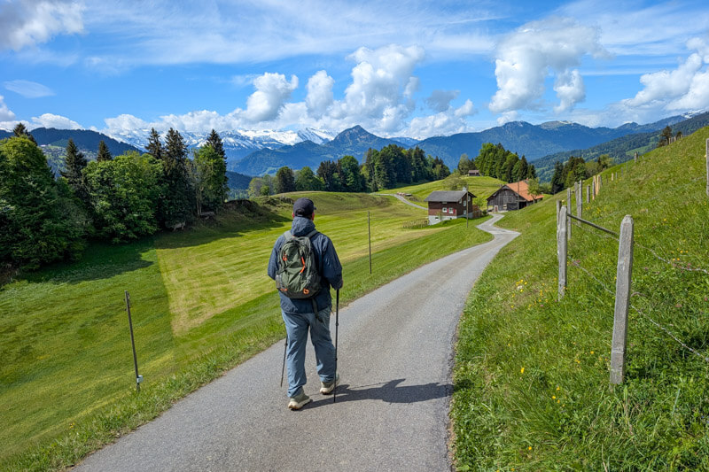
Now the most beautiful part of the trail!!!
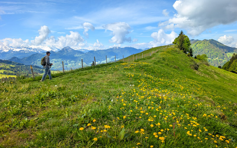

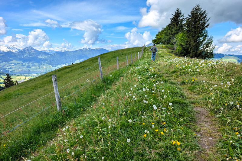
Descend to Biberegg
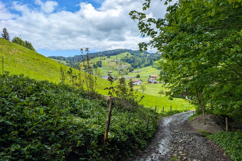
Now hiked down the mountain, about 40 mins to Biberegg in the valley.
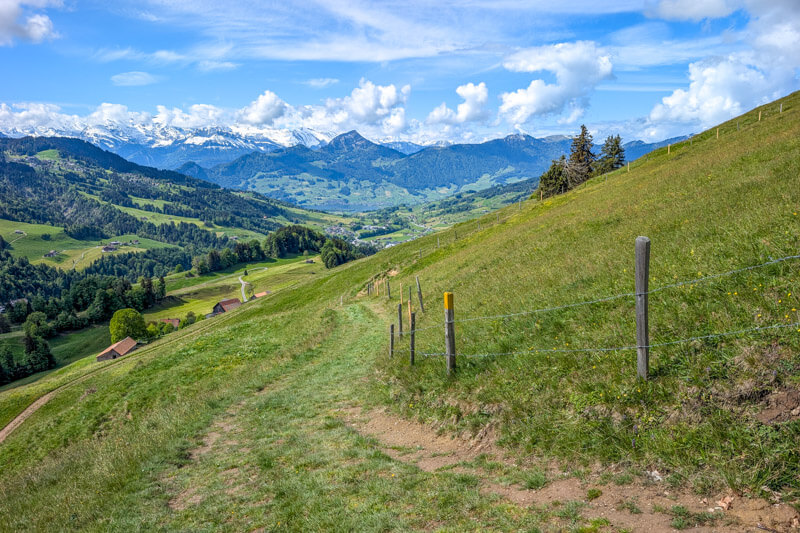
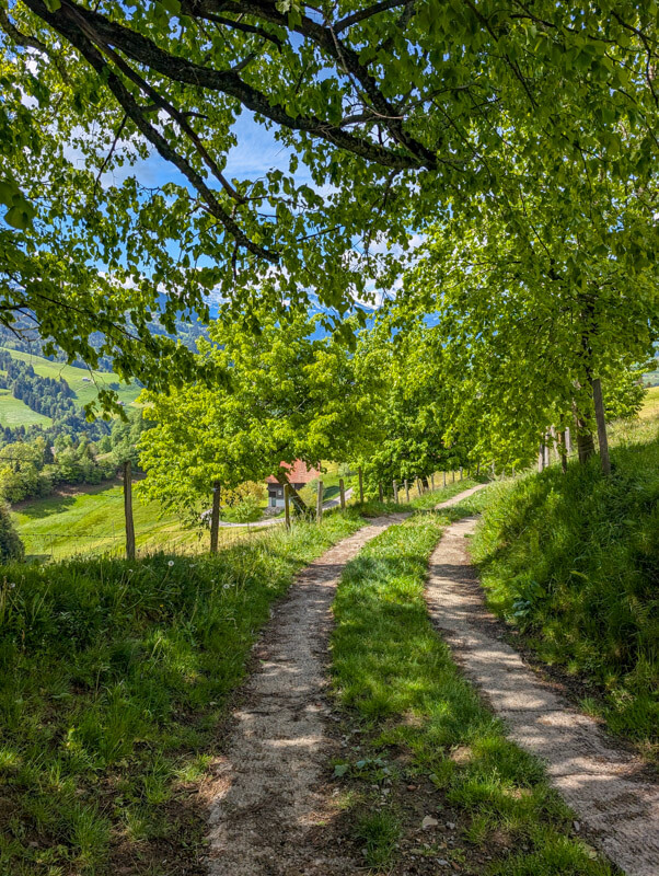
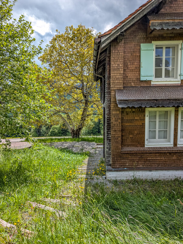
The trail zigzags a bit on the way down. Just keep following the yellow trail signs.
Last stretch from Biberegg to Rothenthurm
If you are done walking, catch the train from Biberegg to Rothenthurm or your home base.
To continue the trail, keep following the Rothenthurm Kraftweg signs, walking on this overpass over the main road.
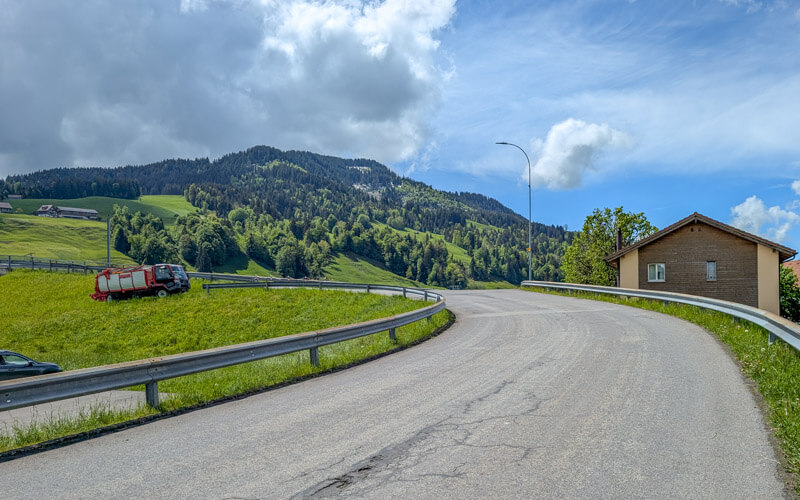
After a few minutes of noise, you’re back in the fields.
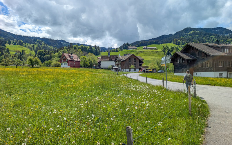
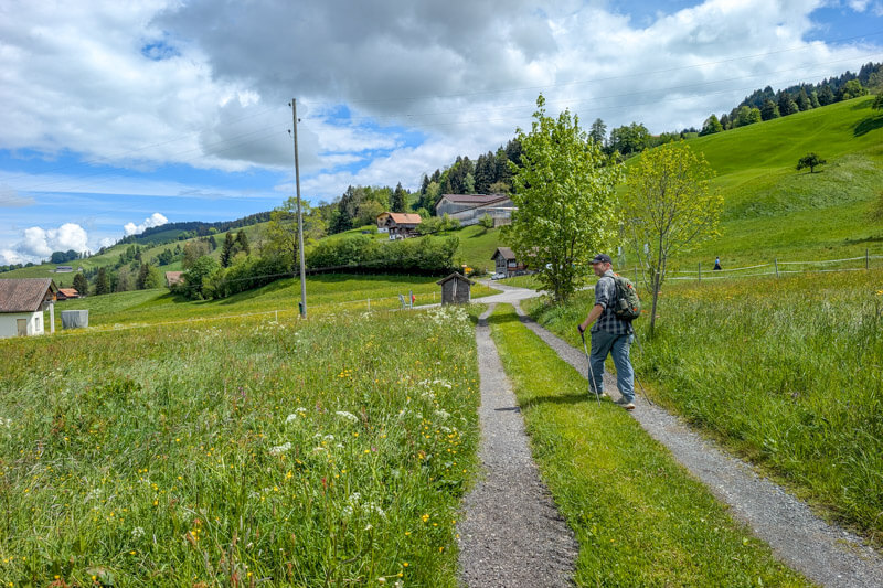
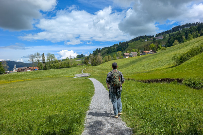
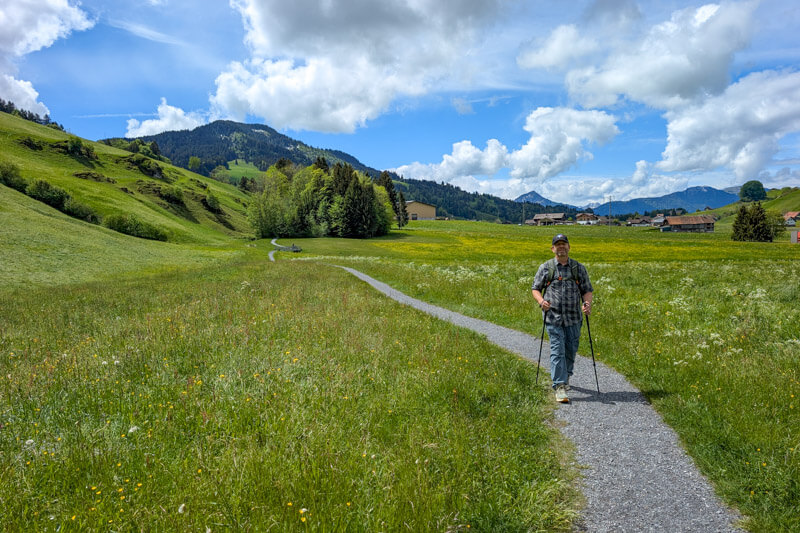
This part stays low, but was much nicer than I expected.
Hope you like this one! See more hikes in the Einsiedeln region…





