
This hike loops around the countryside surrounding Glarus, the smallest canton capital city in Switzerland. You wander through meadows and forests, passing through cow pastures and quiet country lanes.
We did this hike as backup plan when higher trails were covered with snow. I never expected to like it as much as I did, with so much quiet Swiss charm.
Quick Info
| Region: | Glarnerland, southeast of Zurich |
| Start/end: | Glarus train station |
| By car: | Metered parking at train station about 1hr from Zürich |
| By public transport: | Train station: Glarus 1h from Zürich |
| Trail: | 10 km loop |
| Time: | 3 hours |
| Difficulty: | moderate • 400m up & down |
| Condition: | mostly wide dirt path |
| Elevation: | highest point 673m |
| Open: | year round |
| Cost: | free, no mountain transport |
| Services: | restaurants, playground |
| More info: | www.ibergeregg.ch • webcam |
Gallery

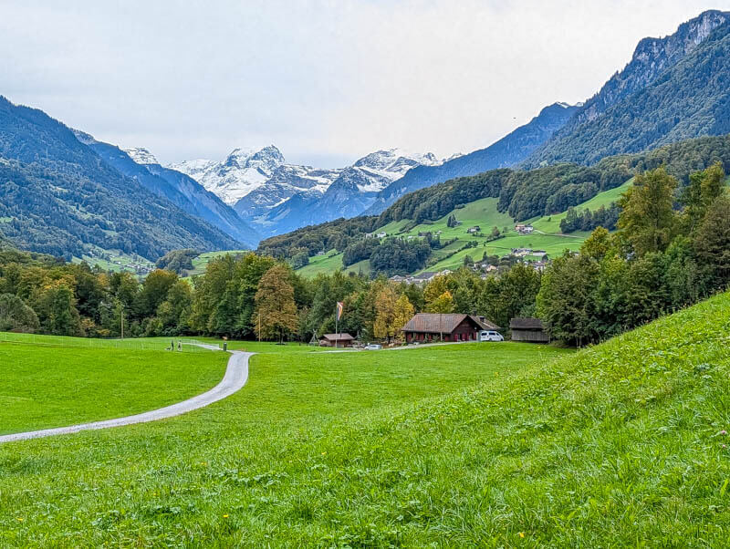
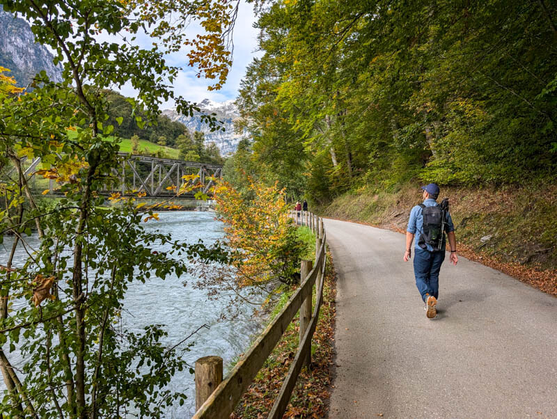
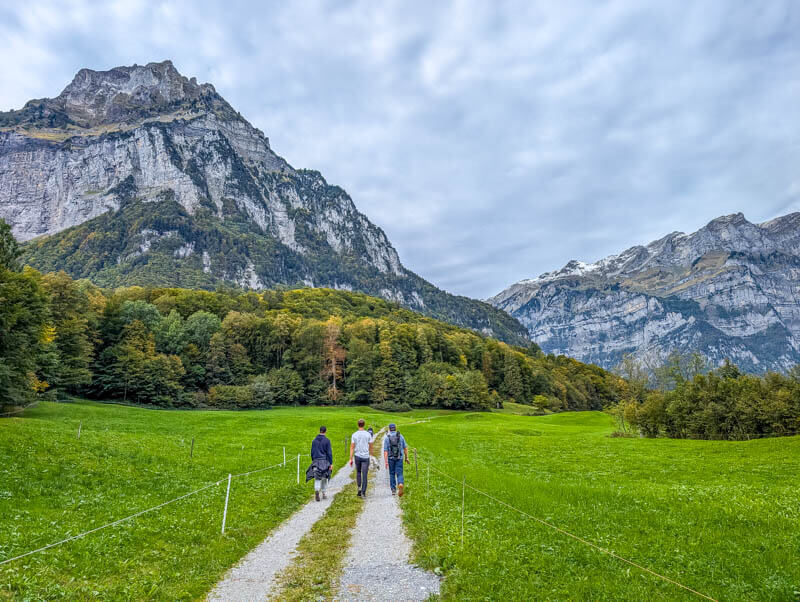
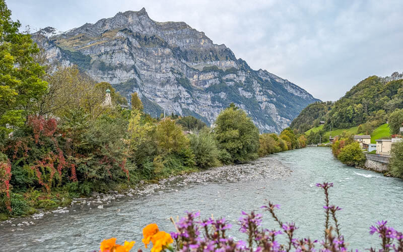
Trail overview
This trail starts at the Glarus train station in the middle of the village. We hiked the loop clockwise, but I don’t think it matters which way you do it.
The trail climbs up the hills on either side of the town, giving you a birds eye view of the area. At the halfway point, you descend to the river, cross it and ascend the hill on the other side.
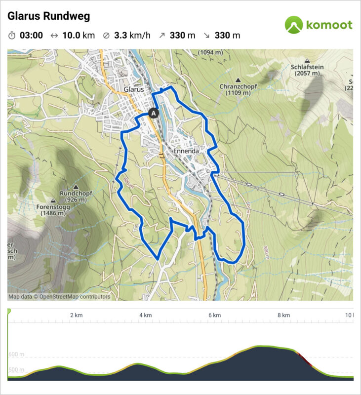
See trail map on Komoot • SchweizMobil
The path is mostly a wide dirt trail, easy walking. On the west side of the trail, there are some narrow footpaths in the forest and couple steeper parts with loose gravel and rock. It’s not super difficult, but I was glad to have my hiking shoes.
Shorter: You can easily shorten this by just hiking part of the trail, then walking back along the river.
How to get there
This trail is in Glarus, a small city southeast of Zurich.
By car
Drive to the Glarus train station. There is lots of parking at the station. Note that some spots are short term parking (only 3 hours) and some are reserved for residents.
By public transport
Ride to the Glarus train station. There are frequent connections all day long from Zürich. The journey is about 60-90 mins depending on your connection.
Planning your day
Services
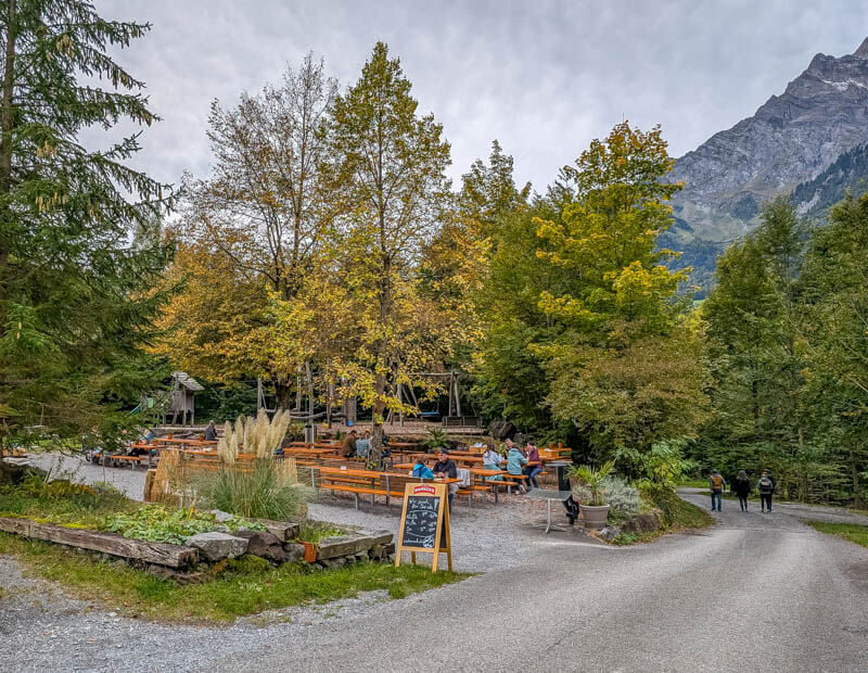
Near the halfway point, you’ll pass Restaurant Waldwirtschaft Uschenriet, which has lots of outdoor tables and nice playground near the edge of the forest. See on map. If you are doing a shorter loop, this would be a good destination, then walk back along the river.
There are lots of restaurants in town near the train station. For picnic supplies, there is a Migros grocery right next to the train station.
What to wear & bring
The terrain on this trail is quite mild, so you could do this hike in any comfortable walking shoe. Hiking sticks are not necessary.
Photo story of the trail
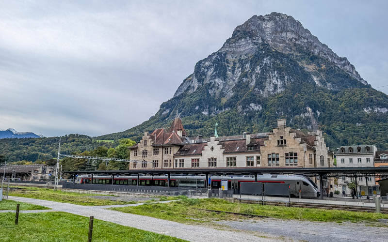
Here’s the Glarus train station.
Follow the green “Glarus Rundweg” signs. We did the trail clockwise.

Starting on the river parallel to the train station.
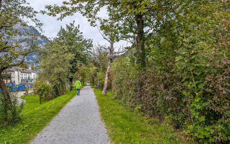
You cross the river.
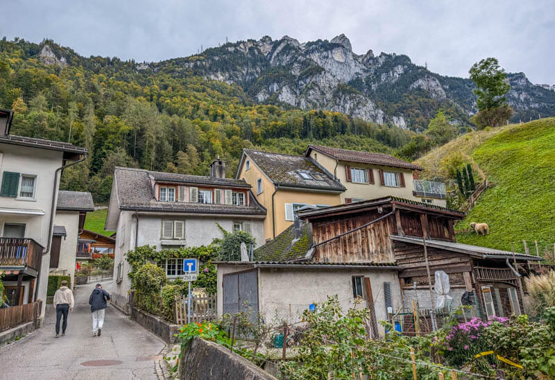
Then walk up through a quiet neighborhood.
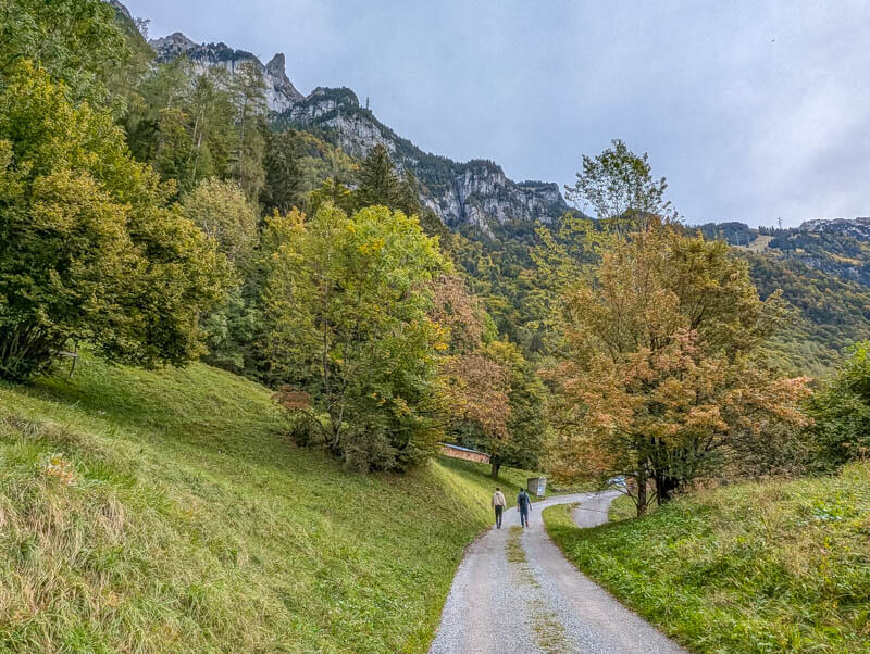
Now traversing the meadows on this wide gravel path.

In early October, some trees were starting to turn yellow and orange.
I loved these stone walls covered in moss.
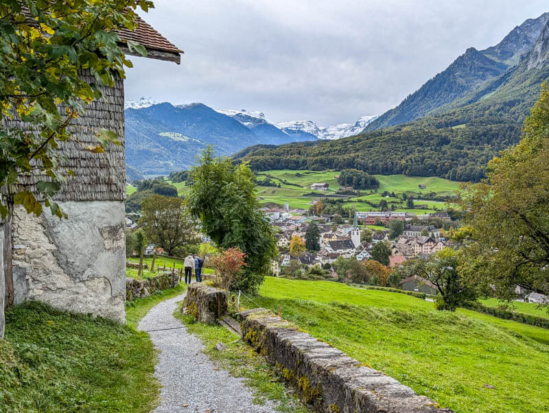
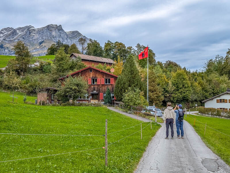
Lots of rustic barns waiting for you to take a pic.
Looking back on the trail.
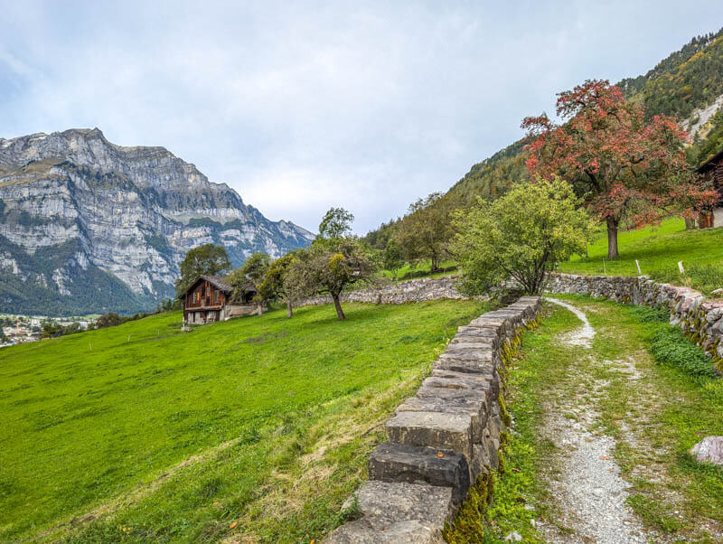
The trail is pretty mild most of the time, just wandering through meadows.
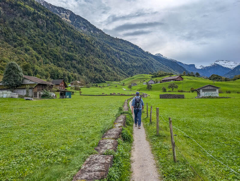
In October, most cows had been brought down from the alps. So we made a lot of friends.

A couple honesty farm shops along the way, selling cheese.
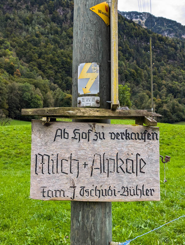
This one was also selling potatoes.

Many beautiful mountains in view during the hike.
A nice playground and restaurant with outdoor tables.
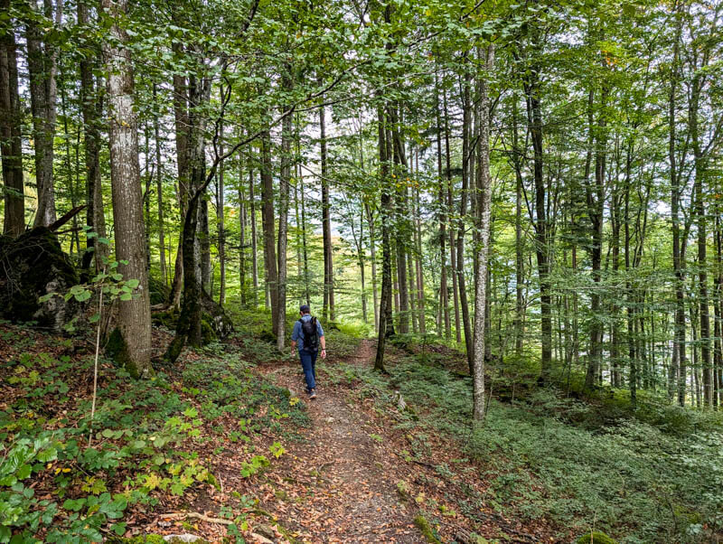
A bit through the forest as we descend to the river.
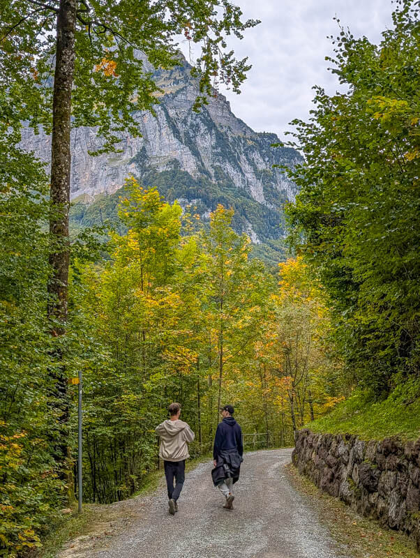
This forest would be a nice place to cool off during summer.

At the river, you circle the rock on this elevated walkway.
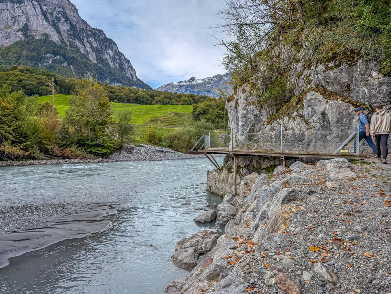
Getting closer to this peak.
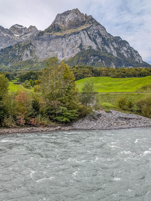
Following the river for a bit.
At this point, the signs were a little confusing. You need to cross the river and head up the hill, which was not exactly where the sign was pointing. I found it helpful to check the map on my phone to make sure we took the correct fork.
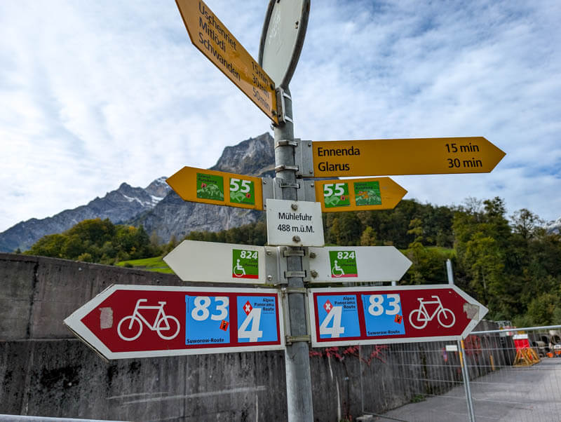
Cross this bridge.

Then up the mountain.
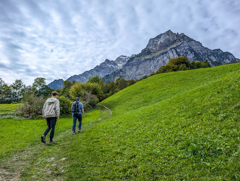
And across this meadow.
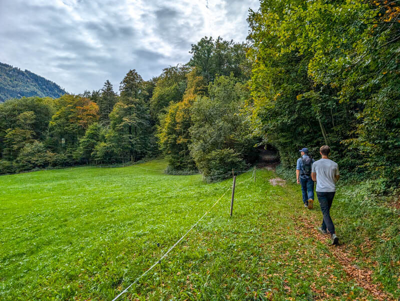
Into the forest for a bit.
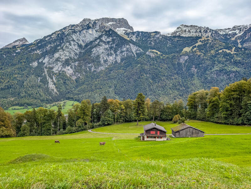
Past a few farmhouses.
View across the valley to where we were hiking earlier.
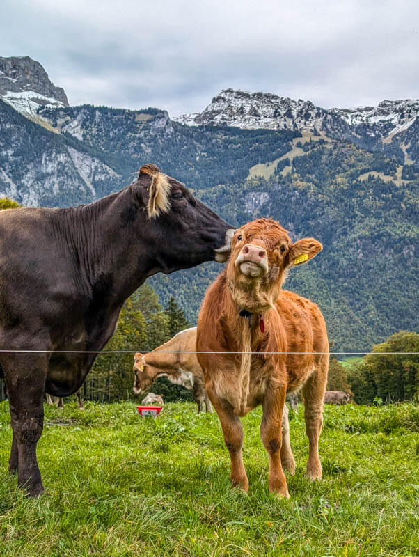
More cute cows.
Then descending through the forest. This part had a couple steeper sections, but not too difficult.
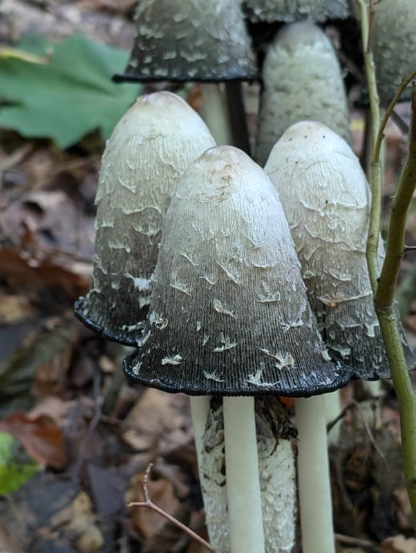
We found some large patches of gorgeous mushrooms.
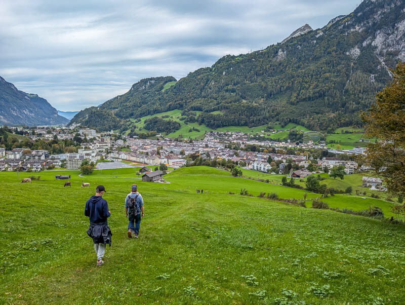
Last descent into Glarus and back to the train station.
I hope you enjoy it!
More trails we like in this region






2 responses
Maybe it was just me but I found this trail extremely difficult to find. I gave up.
Hi Rose, So sorry that you weren’t able to find the trail. I did include links to the trail map on Komoot and Schweiz Mobil. Perhaps you weren’t able to access them?