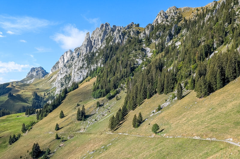
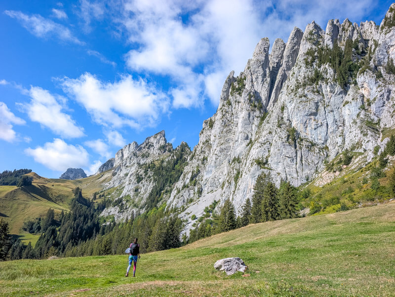
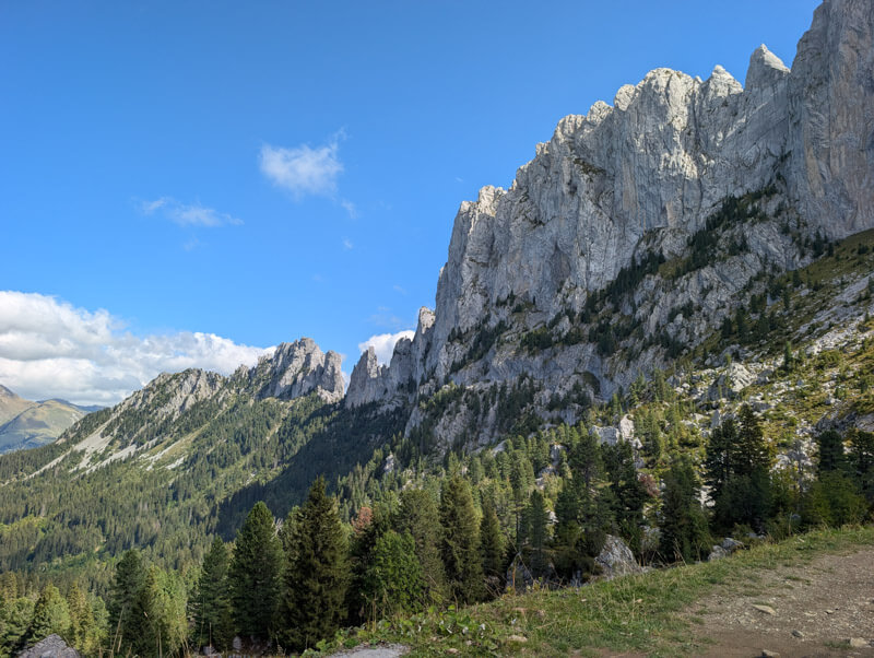
Gastlosen is a small mountain range in weather Switzerland, often called the “Swiss Dolomites” due to the similar look of the limestone peaks.
This trail loops around this mountain range, so you can enjoy the view from a variety of angles. The hike includes a steep section with exposure, only suitable for those with head for heights. See pictures below to inform yourself before heading out.
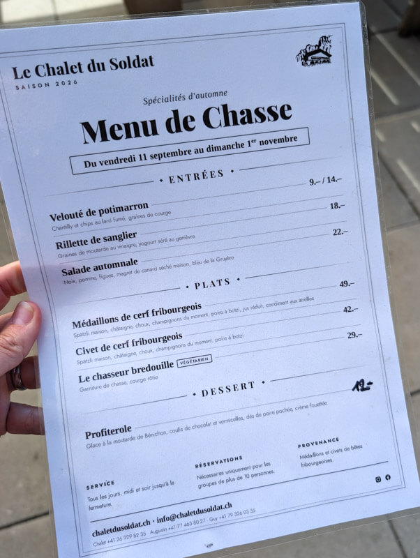
One of the nicest parts is lunch at Chalet du Soldat, which has delicious food and great views.
Below you’ll find a trail map, directions, and practical tips for planning this hike.
Quick Info
| Region | near Gruyeres • Western Switzerland |
| Location: | Gastlosen-Express chair lift – Abländschenstrasse 40c, 1656 Jaun |
| By car: | Metered parking at chair lift From Gruyeres 27 mins, Bern 1h10, Montreux 55 mins, Zürich 2h30 |
| By public transport: | Bus stop Jaun, Bergbahnen From Gruyeres 38 mins, Bern 1h50, Montreux 2h15, Zürich 2h55 |
| Trail: | 11.2 km loop • ⬇️ trail map |
| Duration: | 4h30 walking time |
| Difficulty: | moderate (3/5) • +695m -695m |
| Terrain: | Steep, rocky, difficult terrain (4/5) |
| Exposure | steep drop offs in one section (4/5) |
| Elevation: | highest point 1710m |
| Open: | June to October |
| Cost 2026: | cable car round trip CHF 22 scooter rental CHF 25 |
| Services: | two mountain restaurants along the way |
| More info: | Jaun mountain • Fribourg Region • webcam • weather |
Gallery
These Gastlosen pics are from the second week of September.
Trail Map
This loop trail starts at the top of the Gastlosen-Express chair lift.

See trail map on SwitzerlandMobility • Komoot
We hiked clockwise, so we would arrive at Chalet du Soldat around lunchtime. However, this meant that we had to descend the steep and exposed part of the trail, not ideal.
If you prefer to hike up the steep, exposed section, better to hike counterclockwise.
Our actual walking time was 3h45. Total time on trail with breaks 6h.
Terrain & exposure
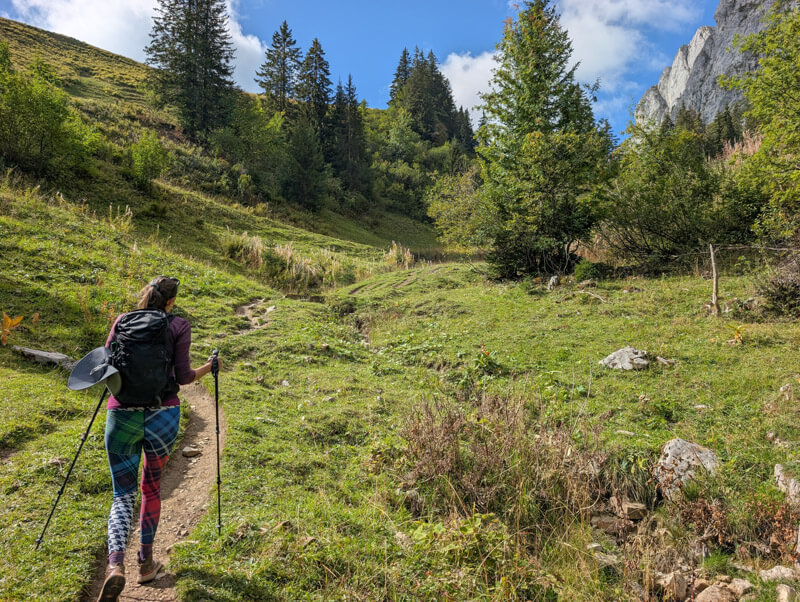
Most of the trail is a typical mountain path, with uneven rocky terrain. Hiking sticks definitely recommended.
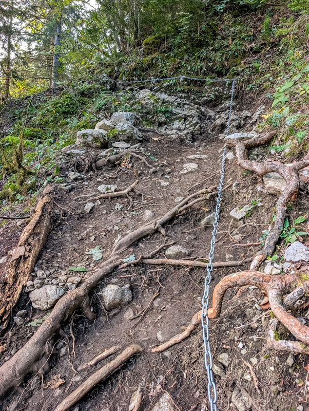
Near the Wolfsort pass, there is an exposed section with steep slopes to the side, which lasts about 20-30 mins. There is a steep rocky descent with a chain to help you manage that section.

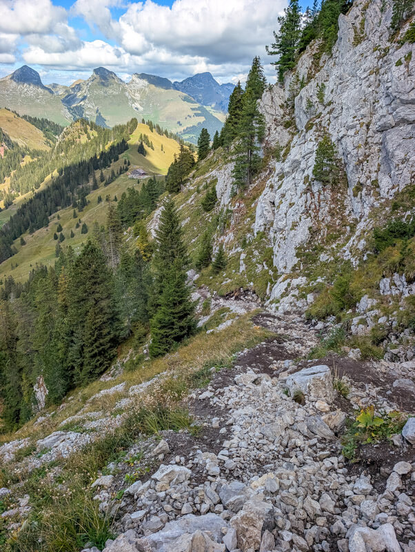
Honestly, it wasn’t as scary as I expected. Yes, there were steep slopes and you definitely need to be very careful. But the most difficult parts were set back from the edge, so not really immediate danger of falling off the mountain.
This trail is suitable for those with hiking experience, sure footing, good fitness, and head for heights. I would not take small children on this trail.
Peak ascents
There are two peaks in this range that can be ascended with defined trails, detours off the main trail. These trails are very exposed and only suitable for experienced hikers comfortable with high risk and heights. I don’t recommend them, just mention for your info.
Gastlosen peak: from Chalet Grat, you can ascend to the Gastlosen peak, about 1h round trip, +313m ascent
Wandflue: from the Wolfs Ort pass, there is a faint path leading up the Wandflue peak, about 40 mins round trip, +150m ascent. On our last visit, we chatted with a hiker who did this and described it as very dangerous.
Skip the chair lift
You can skip the chair lift by hiking directly from the Jaun village. This adds about 1h30 extra time on each end of the hike. I wouldn’t recommend it unless you prefer a much longer and more difficult hike or are on a very tight budget.
How to get there
This trail is reached from Jaun, a small countryside village in western Switzerland. It’s about half-way between Gruyeres and Gstaad.

The loop trail starts and ends at the top of the Gastlosen chair lift in the Jaun village.
By public transport
The Gastlosenexpress chair lift is near the Jaun, Bergbahnen bus stop.
The travel route varies based on your starting point. Sample travel times from:
- Montreux about 2h20
- Gstaad about 1h15
- Interlaken about 1h40 – 2h20
- Bern about 2h
- Zürich 3h
By car
The chair lift is located at Abländschenstrasse 40c, 1656 Jaun. There is metered parking at the chair lift.
Sample driving times from:
- Montreux about 1h
- Gstaad about 50 mins
- Interlaken or Bern about 1h15
- Zürich 2h30
Note: If you drive via Spiez and the Simmental, you will drive over the Jaun Pass, which is a narrow, winding mountain road.
Costs
You’ll need a round trip ticket on the Gastlosenexpress chair lift. In 2026, this cost CHF 22/adult. Check current prices.
No discount with travel passes or cards. Free with Magic Pass.
If you want to ride the mountain scooter at the end, get a one-way ticket on the chair lift. The scooter rental is CHF 25/person.
Planning your day
When to go
Gastlosen is typically ready for hiking around early June. It must be snow-free, as some parts are exposed and would be dangerous in wet or icy conditions. Check trail status.
Where to eat
We suggest eating at Chalet du Soldat (see on map), which has a fantastic view of the Gastlosen range and surrounding area. The food is quite nice, a step up from other mountain restaurant. If you hike clockwise, you’ll reach this restaurant in about 2h30. If you hike counterclockwise, about 1h.
Chalet Grat (see on map) is on the east side of the range, closer to the start of the hike. Their website says they are open daily from early May thru end of October. But they were closed on a September Friday when we hiked by.
At the top of the chair lift, there is a kiosk with drinks, snacks and simple meals. I had a coffee there before the hike, adequate.
What to wear & bring
I would bring a least 1L water/person and food to sustain you through the hike.
This mountain train is best done with sturdy hiking shoes with good tread. Hiking sticks are very helpful for the up and downhill switchbacks which have a lot of loose rock.
Make sure to check the weather and dress appropriately. Bring a swimsuit if you want to dip in the lake.
Photo story of trail
Here’s the Gastlosenexpress chair lift. It was about a 7 min walk from the bus stop.
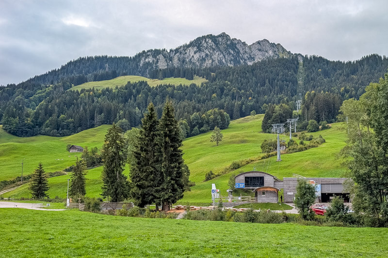
At the top of the chair lift, there is a kiosk and toilet.
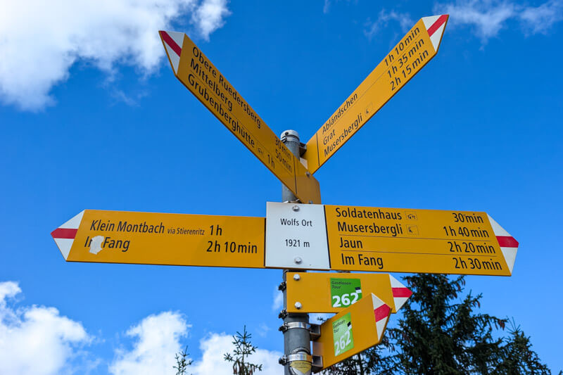
To start the hike, follow trail signs with the green 262 Gastlosen Tour label. We hiked clockwise, starting direction “Grat” passing under the chair lift.
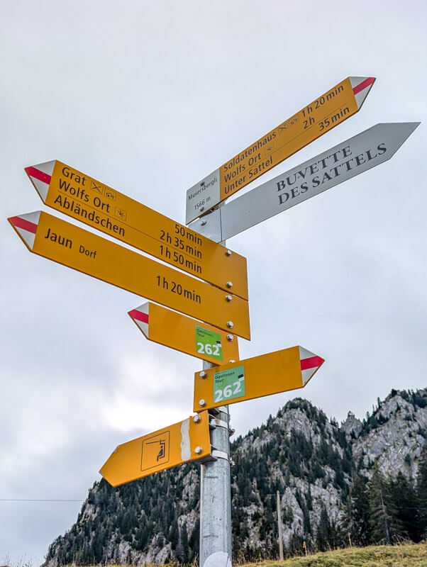
The trail starts by downhill for awhile, which was a little unmotivating. It’s in the forest for about 45 mins.
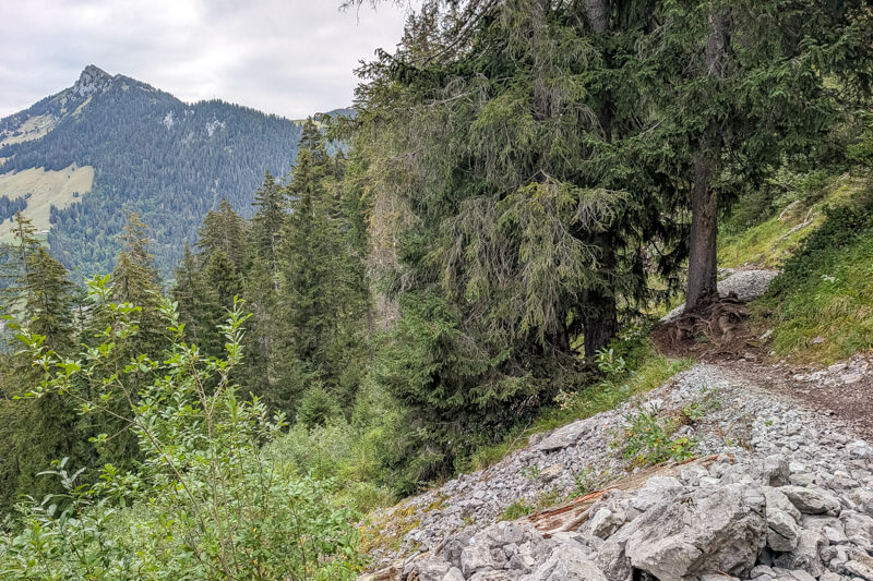
There are a couple sections that have chains to help you safely walk over steeper bits.



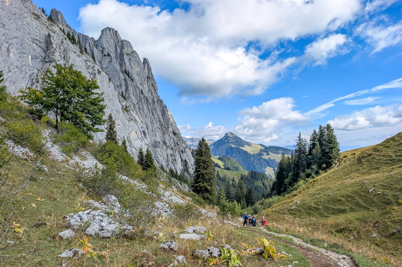
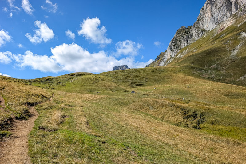


Arriving at Wolfs Ort pass

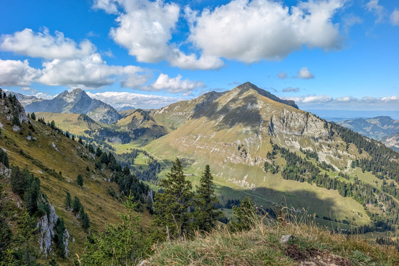

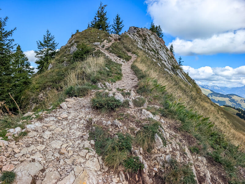
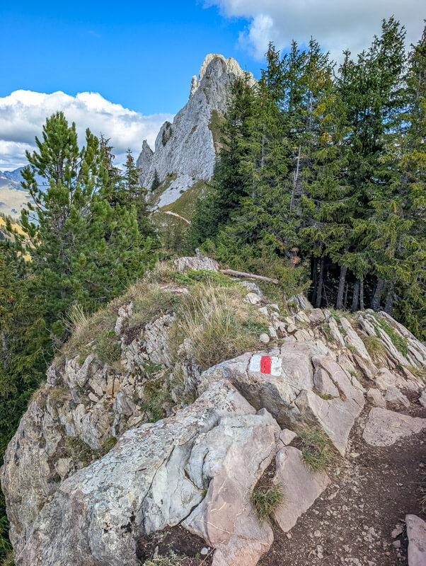

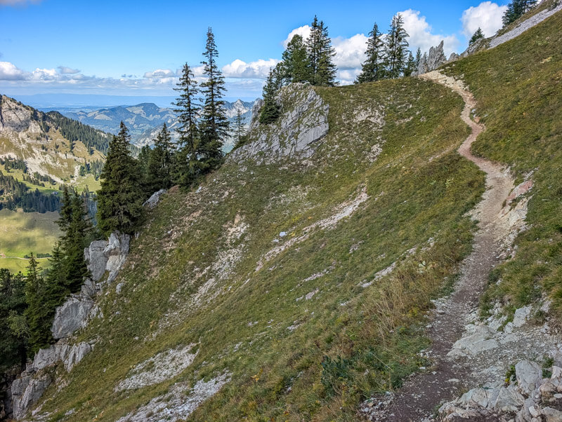


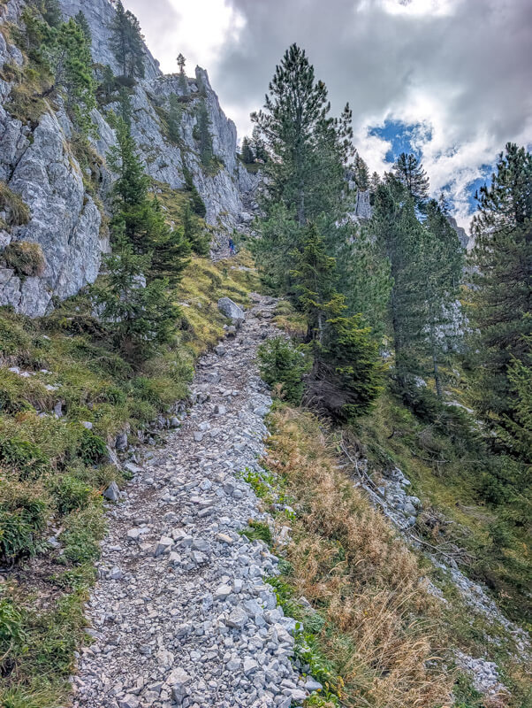

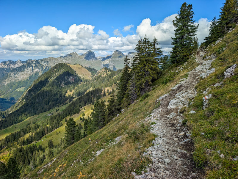
Now we can see the Chalet du Soldat, our destination for lunch.






Hike back to chair lift
From Chalet du Soldat, continue to follow the Gastlosen Tour signs to the chair lift at Muserbergli.


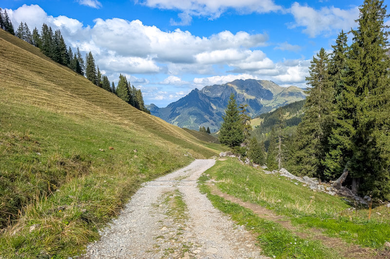
You start on a gravel service road.
Then a long while in the rocky forest.
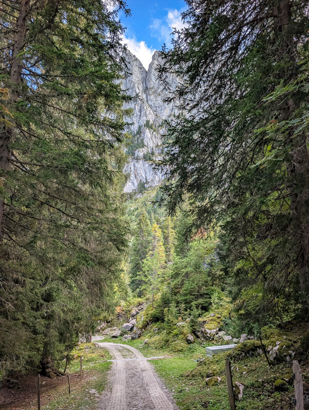

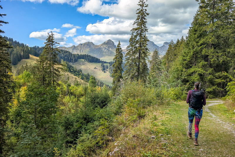
Looking back on the trail.
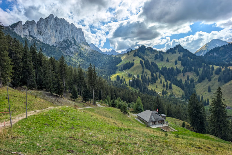
At the chair lift,, you can pick up the scooters and ride it down the mountain.