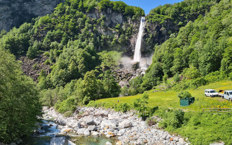
Val Calnègia is a peaceful alpine valley hidden high above the huge Foroglio waterfall. To reach the valley, it’s a steep climb up many steps and switchbacks on the side of the falls.
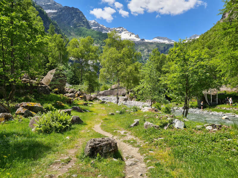
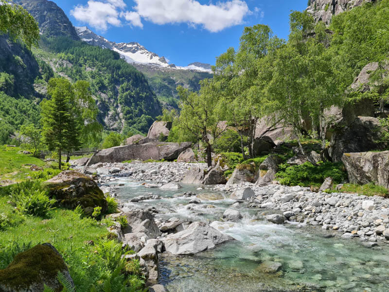
At the top of the falls, you enter a gorgeous high alpine valley, where you’ll see the beautiful stone bridge, charming stone rustico buildings, grassy meadows, rushing river, and lush forest. You can walk up the valley along the river as far as you like, finding a nice spot for a picnic. Then return the way you came.
We think it’s one of the most magical spots in Switzerland and well worth the effort.
Note: If you can’t manage the hike, you can still very easily visit the Foroglio falls, which are close to the road.
| Region: | Ticino |
| Starting point: | Foroglio, Bavona Valley |
| By car: | Parking: 46°22’24.1″N 8°32’54.3″E 45 mins from Locarno, 1hr20 from Lugano, 3hr from Zurich |
| By public transport: | Bus stop: Foroglio 1hr10 from Locarno, 1hr55 from Lugano, 3hr30 from Zurich HB |
| Trail: | 5.4 km up and back |
| Time: | about 2hr |
| Difficulty: | moderate, 360m up/down |
| Condition: | dirt footpath, stairs, rocky |
| Elevation: | highest point 1050m |
| Open: | best May to August |
| Cost: | free |
| Extras: | café next to falls, toilet at parking |
| More info: | ascona-locarno.com • nearby webcams • forecast |
Gallery


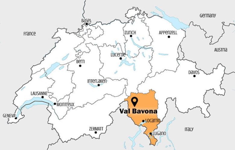
Location
The Foroglio waterfall is located in the Bavona valley, north of Locarno in southern Switzerland (see on Google Maps). The waterfall and hike are easily accessible by car or bus.
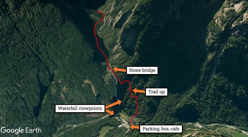
Trail overview
The red line on this map is the trail leading up the side of the waterfall to the high alpine valley. You can also do shorter walks to waterfall viewpoints near the base of the falls.
Trail map
Here is the trail map for the hike to the valley above the falls. It takes about 1 hour each way, longer if you choose to hike farther up the valley.
See trail map on Komoot • SchweizMobil • AllTrails • OutdoorActive
Shorter options
You don’t have to hike up the mountain to see the falls. You can see them directly from the village next to the parking and bus stop. There are short paths that lead to viewpoints at the base of the falls. Learn more.
How to get there
By public transport:
Ride bus 315 from Locarno to Bignasco, Posta, then bus 333 to Foroglio. This second bus only runs a few times a day, so check the schedule carefully.
The full journey takes about 1hr10 from Locarno. On weekends, these buses can get very full, so you might have to stand. Remember to check the bus schedule for the way home. In 2021, the afternoon buses are 14:07, 15:47 and 17:49 (last bus).
By car:
You can drive directly to Foroglio, about 45 mins from Locarno. There is a small metered parking lot across from the falls – GPS: 46°22’24.1″N 8°32’54.3″E. There are toilets in the parking lot.
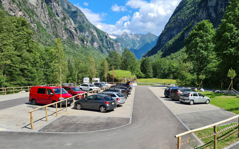
Photo story of the trail
When you arrive, you get this view directly from the road.
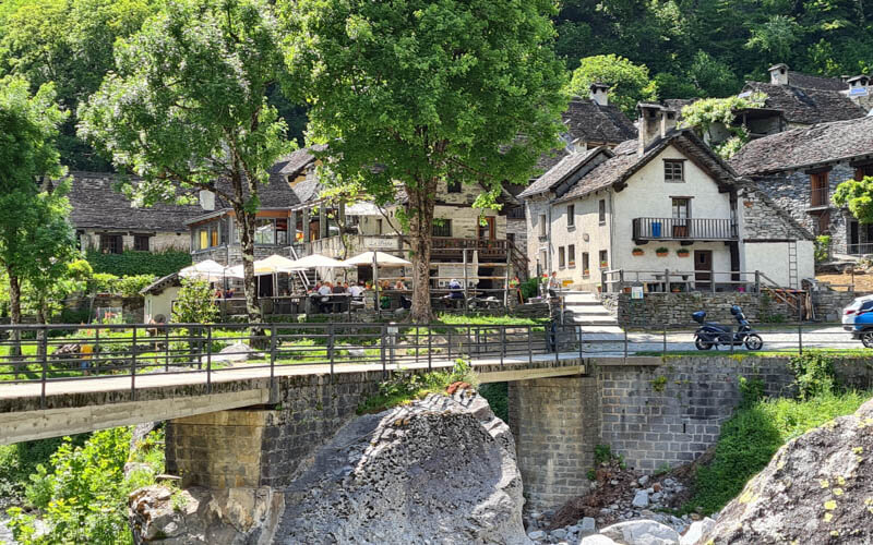
From the parking and bus stop, cross this bridge to the small village of Foroglio.
Through the Foroglio village
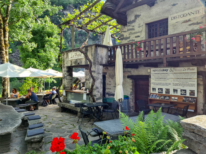
As you enter the village, you’ll pass La Froda cafe, the only place to eat in town. They serve cheese and charcuterie plates, warm dishes mostly polenta with stew, sausage or cheese, and desserts. It’s best to make a reservation because there is limited seating and this area can be quite popular. When we got there at 11:00, we told them we were planning to hike up the waterfall and eat afterwards. So we made a reservation then for 14:00. But if you want to eat at noon, make a reservation at least a day before.
To reach the hikes, you walk from the café straight through the village to the edge of the forest.
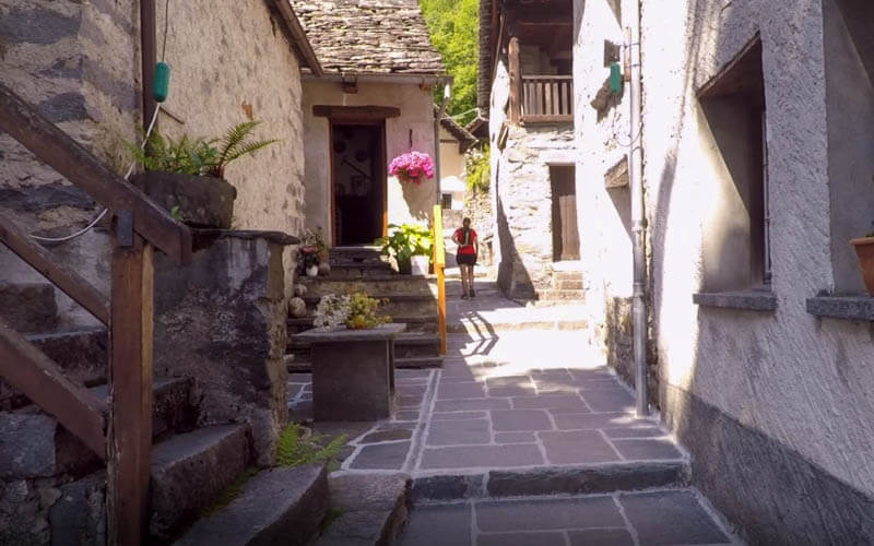
As you walk through the village, you’ll see the waterfall to your left.

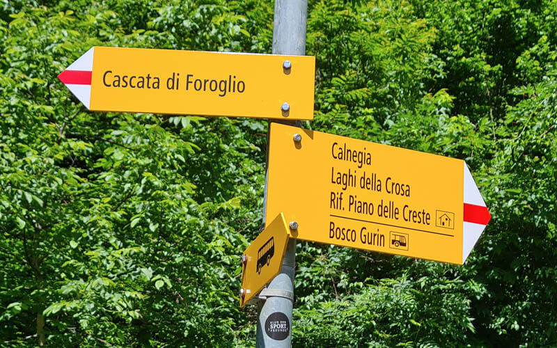
At this trail sign, go right to “Calnegia” which is the valley at the top of the falls. The trail to the left goes to a viewpoint at the base of the falls.
Up the mountain
The trail starts with lots of stairs and switchbacks.
SponsoredDiscover top exclusive offers today!
Click here to learn more and take advantage of these limited-time deals.
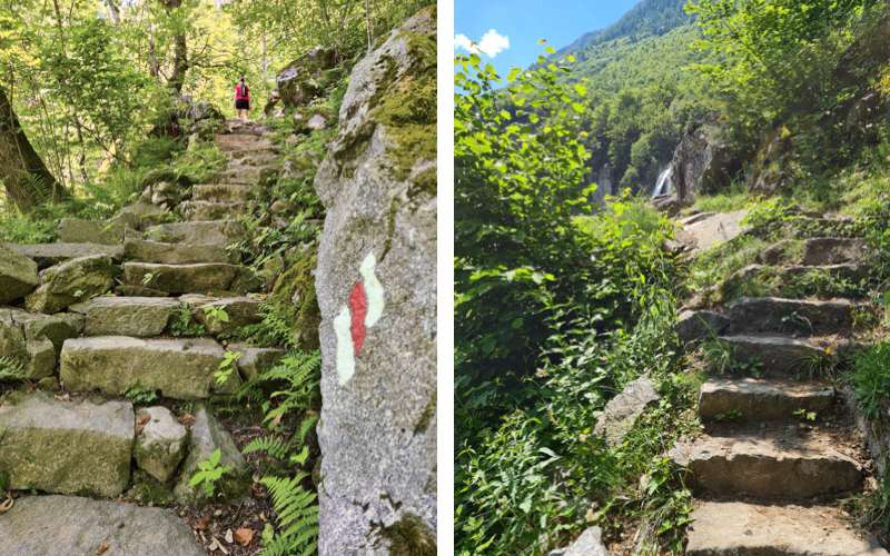
It’s mostly in the forest but you’ll get occasional views of the falls on the way, like this one.
More stairs, a very well built trail.
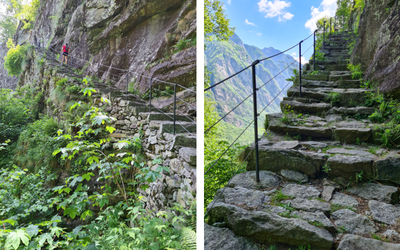
A bit on the cliffs, but there is a nice fence for safety. In general, this is a safe trail for older children.

Entering the Calnegia valley
When you reach the top of the cliffs, you exit the forest and walk next to this big river that feeds the falls. Do not go in the water here, very dangerous! There is no lookout over the cliffs as you might have expected. So don’t put yourself in danger searching for one.
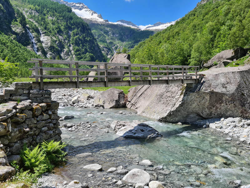
Once you leave the forest, you reach this stone bridge after just a couple minutes. Cross the bridge to continue the trail on the south side of the river.
Just follow the footpath along the river. The path isn’t by the water the whole time. Lots of the path is quite rocky in the forest. Sorry, I didn’t take any pictures of that.
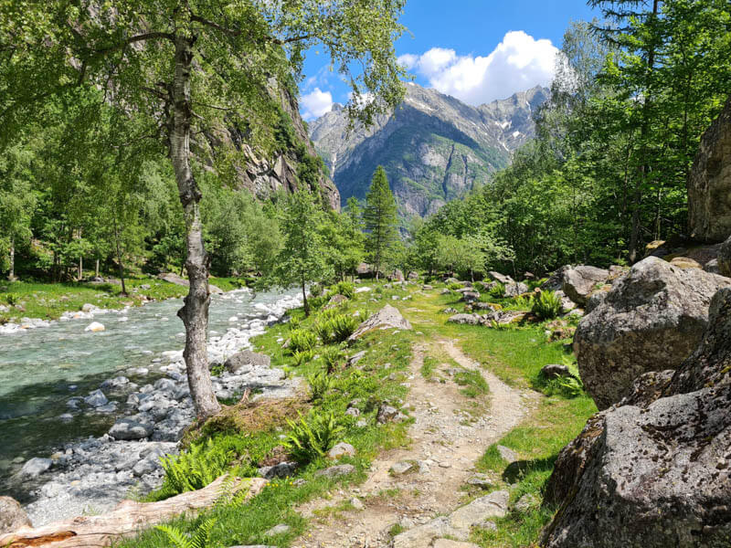
The parts by the river are the prettiest. We saw a few people splashing around in the water but it’s icy cold!
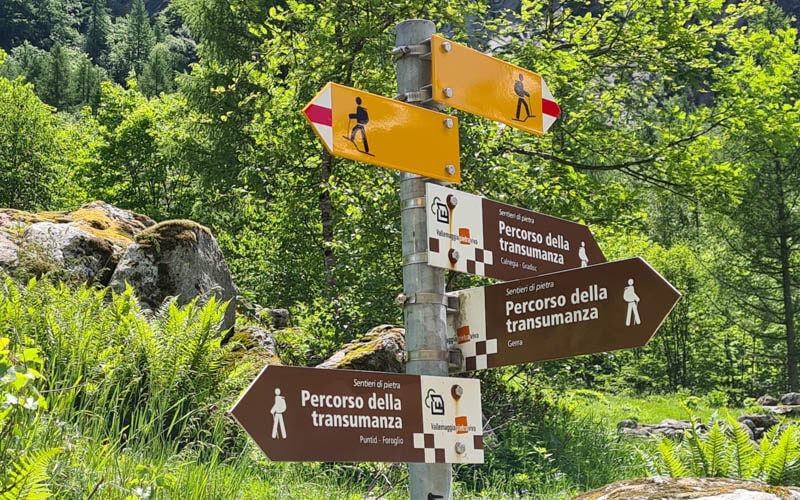
At this bridge, the real trail continues straight farther down the valley. We crossed the river and could walk for a few minutes but then the trail just ended at the river and we couldn’t continue. Maybe we lost the path?
Here’s the trail sign at the bridge telling you to walk straight. Instead we followed the brown path to the right over the bridge.
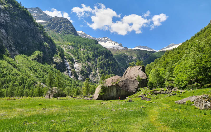
That path is very nice, heading through the grass to these boulders.
There are a few rustico houses here, nice for pictures. You can see a few waterfalls in the distance. Not sure if you can hike to them or not.

I’d suggest settling in and enjoying your picnic up here.
When you are done, retrace your steps, hiking back down the mountain to Foroglio.
I hope you enjoy this hike? Come back and leave comment and tell us what you thought.
Video of hike
Check out our video of our Foroglio hike.






2 responses
yeah, you lost the path on the photo you mentioned, should have followed the white/red/white strips Wanderweg to reach the village of Calnègia in the back of the valley. My friend read the 2hrs wrong, and we ended up in the valley after 3 hours, over very rocky parts and 3 snow landslides, once even having to cross over the river haha ( 8. April). So in total, we hiked 6hrs. Cheers
Hi Gary, I’m sorry to hear you got lost on the trail and hiked longer than intended. I’m not sure which photo in my post you are referring to. The trail map I include in my post shows an up and back trail, which if followed would not lead to such a long hike. Glad you made it safely off the mountain.