Lago di Robiei is a beautiful reservoir at the far end of the Maggia valley north of Locarno. This hike is a short loop around the reservoir, a nice way to enjoy the beauty from different perspectives.
The path starts across a big dam, enabling this lake to collect glacier water and power the hydro plants. Then you continue on a narrow dirt path around the water, often with steep slopes to the side. So be careful and watch your footing, not the best for very small children.
It only takes a little over an hour to circle the lake, so take a picnic to enjoy on the lakeshore (but no swimming! too dangerous!). Or relax at the hotel restaurant below the dam, where you’ll find a playground.
| Location: | Val Bavona, Ascona-Locarno, Switzerland |
| Address: | Robiei cable car |
| Car: | Parking in S. Carlo adjacent to cable car: 46°24’37.1″N 8°31’46.4″E 1hr from Locarno, 1hr40 from Lugano, 4hr from Zürich |
| Train: | Bus stop: S. Carlo, Funivia 1h30 from Locarno, 2hr15 from Lugano, 3h40 from Zurich |
| Trail: | 3.2 km loop, about 1hr |
| Elevation: | 60m up/down, highest elevation 1990m |
| Condition: | narrow dirt path, some steep slopes to the side, no strollers |
| Skill: | easy, but requires steady footing |
| Services: | restaurant and playground at start of trail |
| Open: | late June to mid October |
| Cost 2021: | Cable car return CHF 24/adult Discount with Ticino Ticket (not for SBB Half-fare or GA) |
| More info: | www.robiei.ch • webcam |
Trail overview
Here is the summer map for the Robiei area (Row-bee-eh). There are many lakes in this area, some accessible by paved service roads, some by hiking trails.

We went on opening day in mid June, which was a little early for this area that still had a lot of snow. We had planned to do the Basodino Glacier Trail near Lago del Zött, but it was completely covered in snow. So this was plan B, but a really nice plan B.
Trail map
Here is the trail map for the walk around Lago di Robiei. It’s a narrow dirt path, often rocky, no strollers. It’s a relatively easy trail but sometimes it has a steep slope on one side that could be dangerous if you fell. So you need to be mindful when walking on these sections.

See map on Komoot • SchweizMobil • AllTrails • OutdoorActive
Add-on: If this outing is a little too short, I suggest the easy walk to Lago del Zött, about 1.3 km on a service road to the lake from the cable car station (see trail map). This includes about 300m in a dark tunnel. You can walk on a dirt path along the lakeshore for a bit before the trail climbs up the mountain. So if you want an easy outing, just enjoy the view then walk back.
How to get there
The Robiei lake and trail are located in southern Switzerland, in the Bavona valley north of Locarno (see on Google Maps). You reach the trail with the S. Carlo-Robiei cable car, which is accessible by car or bus.

Robiei is a bit remote, so best as a day trip if you are staying in the Ascona-Locarno region.
By car: Drive up Val Bavona to the end of the road at to S. Carlo (46°24’37.1″N 8°31’46.4″E). There is a parking lot adjacent to the cable car. We took the bus, so I forgot to check if the parking is metered. Note that after passing the Bignasco village, the road is only one lane, with occasional turn outs for passing, for the last 20 mins. I was glad to be on the bus so I didn’t have to drive that part.

By public transport: From Locarno, ride bus 333 to Bignasco, Posta. Then switch to bus 315 which takes you the rest of the way to S. Carlo, Funivia, the last stop on the line. FYI, bus 315 only runs 5-6 times a day, so plan accordingly. In both directions, the bus is coordinated with the cable car schedule.
In the morning, the bus from Locarno leaves at 7:20 and arrives at S. Carlo at 8:47 in time to catch the 9:00 cable car. Or leave Locarno at 9:20 and arrive t 10:47 to catch the 11:00 cable car.
In the afternoon, the last two buses are 15:35 and 17:37. So you would need to catch the 15:15 cable car to catch the 15:35 bus. On weekends, you can catch the 17:20 cable car to catch the 17:37 bus. On weekdays, the last cable car is 16:45, so you would have a wait before the 17:37 bus.
Tickets
In 2021, a round trip ticket on the Robiei cable car costs CHF 24/adult. Discounts for children, Ticino Ticket, AHV (retired) and military. No discount for SBB GA, Half-fare or other Swiss travel cards.
Operating times
The cable car is open for summer season from mid June to early October. It runs about once an hour starting at 8:00. Last ride down from the top at 16:45 on weekdays and 17:20 on weekends and holidays. If you are taking the bus, the last bus is coordinated with the 16:45 cable car. Check current schedule here. The schedule is also printed on your cable car ticket to help you remember.
Impressions on the trail
Looking back on the cable car station and down the Balvona valley.

Here’s where you arrive at Robiei. You can see the cable car station and the hexagonal hotel. I took this pic from the dam. To be honest, this area has a real industrial feel because it was built for all the waterworks in this area, not for leisure.

To reach the lake, you walk up this paved road past the hotel.

So many directions to follow. We are following the sign to Lago Robiei 10 mins.

There is a small playground next to the hotel.

You walk across the dam to reach the trail, which is the rocky dirt path with the barrier shown on the right.

Just follow the path that circles the lake. The trail forks up to another lake, Lago Biano, but that was blocked by snow when we were there.

We were there in mid June, so there was still some snow on the trail and it was very muddy where the snow was melting.

The trail wasn’t particularly difficult, but there were some steep slopes on the side. So I wouldn’t take very small children. You don’t want to fall off the side.

Really nice mountain trail.

So many nice views as you circle the lake and get the glacier view in the distance.

Lots of rocks on the path.

Would be a nice place for a picnic.

Just showing the narrow path, not difficult at all.

As you complete the loop, you reach a grassy area, popular for fishing. There is a river rushing down the mountain here. It was a little difficult to find a place to cross. Maybe there will be a bridge when you go.


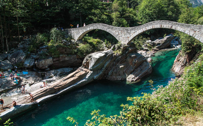
No swimming!!! There are signs on both sides of the lake telling you how dangerous it is to swim here. The water is sucked down to the bottom of the dam, where it flows into the valley. So absolutely do not go in or on the water.

Looking down from the dam to the cable car station. Make sure you check your watch so you don’t miss your ride down.

See more hikes in Ticino.