This mountain trail wanders the alps below the beautiful Eiger Glacier, hanging on to the craggy mountains above.
It’s relatively easy, mostly downhill, suitable for any casual hiker and families. If you prefer a challenge, simply it in reverse,
I have a few variations of the trail, to make it longer or shorter. Keep reading for all the info you need to plan this hike.
Contents
Quick info
| Region | Jungfrau Region |
| Starting point: | Eiger Express cable car at Grindelwald Terminal station |
| By car: | Grindelwald Terminal parking (Grundstrasse 54, 3818 Grindelwald) From Interlaken 30 mins, from Lucerne 1hr30+, from Zürich 2hr+ |
| By public transport: | Grindelwald Terminal train station From Interlaken 30 mins, from Zürich or Lucerne 2hr30 |
| Trail: | 3-4 hours • variations below |
| Distance: | 6.5 – 10.8 km one way |
| Difficulty: | moderate • 100m up, 1146m down (variations below) |
| Path Type: | typical dirt footpath uneven terrain, some stairs (T2) |
| Highest point: | highest point 2300m |
| Open: | usually July thru mid Oct |
| Cost 2025: | mountain transport – about CHF 46/adult |
| Discounts: | Discount 50% with Swiss Travel Pass, Half Fare Card, Bernese Oberland Pass, or GA Free with Jungfrau Travel Pass |
| Services: | restaurants at beginning and middle of trail |
| More info: | www.jungfrau.ch • webcam • weather |
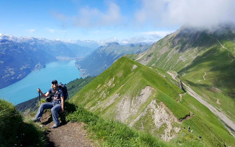
Gallery
Trail overview
This map shows the important aspects of the hike.

Step-by-step instructions
- Get to Grindelwald Terminal station
- Ride Eiger Express cable car up to Eigergletscher station (20 mins).
- Hike down to Wyssi Flue and Mettlenalp (about 2 hours).
- Join service road and hike to Allmend (about 1 hour). Restaurant here. Optionally catch mountain train here.
- Or hike to Wengen (30 more mins) and board mountain train here.
- Ride mountain train to Lauterbrunnen (11 mins). Then ride regular train back to Grindelwald or your home base.
Options:
At Mettlenalp, fork right and hike up to the Wengernalp mountain train station (25 mins uphill).
At Wengernalp, you can ride the mountain train up to Kleine Scheidegg. Or hike up to Kleine Scheidegg (40 mins uphill). Then mountain train down to Grindelwald.
Trail map
The map below shows the trail Eigergletscher – Wyssi Flue – Wengen. You can also hike it in reverse.
See trail map on Komoot • SwitzerlandMobility • OutdoorActive
If you want to end at Wengernalp or Kleine Scheidegg, use this trail map instead: Komoot • SwitzerlandMobility
Trail conditions
The trail is a typical mountain footpath with uneven terrain, loose rock and some stairs. It’s not a dangerous trail – no exposed sections or steep drop offs. It is suitable for children and casual hikers with a moderate fitness level.
How to get there
This trail is is located in the Jungfrau Region, on the mountain between Grindelwald and Lauterbrunnen.

By public transport
Take a train to Grindelwald Terminal. Ride the Eiger Express cable car to Eigergletscher to start the hike.
The trail ends in Wengen, where you can ride the train down to Lauterbrunnen. Then regular train to your home base.
By car
Park at Grindelwald Terminal and ride the Eiger Express cable car to Eigergletscher to start the hike.
The trail ends in Wengen, where you can ride the train down to Lauterbrunnen. Then regular train to Grindelwald Terminal (40 mins) to get your car.
Or instead of hiking down to Wengen, loop back to Kleine Scheidegg. Then ride the mountain train down to Grindelwald Grund and walk over to your car at Grindelwald Terminal.
Planning your day
Tickets
Your costs vary depending on which version of the hike you choose.
In any case, you start with the Eiger Express from Grindelwald Terminal to Eigergletscher. Just buy a one way ticket for this. In 2025, this costs CHF 38/adult.
At the end of the hike, you will ride the mountain train from Allmend or Wengen to Lauterbrunnen. Buy this ticket at a ticket machine at the station or one the SBB Mobile App. You cannot buy the ticket on the train.
For all tickets, discount for children, Swiss Travel Pass, Half Fare Card, and GA. Free with Jungfrau Travel Pass.
Opening Times
This trail is typically snow-free from July through mid October.
The Eiger Express cable car runs continuously, every day, starting around 7:45. Travel time 20 mins.
The mountain train from Wengen to Lauterbrunnen runs until very late. But if you are riding the mountain train from Kleine Scheidegg, the last train is around 18:30. The mountain trains run every 30 mins.
You don’t have to reserve any of these in advance. Check schedule and prices on SBB.ch.
What to wear & bring
We suggest wearing sturdy hiking shoes or boots with grippy tread and bringing hiking sticks.
Dress appropriate to the weather forecast. Although it can be very warm in summer, the trail is high elevation and this area is prone to wind, so the temperature can be colder than you can expect. We suggest bringing layers so you can adjust as needed.
Where to eat
There are no services along the trail – no huts, no water, no toilets. So bring enough water and snacks for the hike.
There are restaurants at the beginning and end of the trail at these points: Eigergletscher station, Allmend station, Wengernalp, Wengen, and Kleine Scheidegg.
Where to stay
For this weekend, we stayed at Hotel Belvedere Grindelwald, which has spectacular views of the Eiger from it’s terrace and room balconies. (Our stay was hosted by the hotel & Responsible Hotels Switzerland).

The rooms are spacious with a large balcony. All rooms have air-conditioning, not a given at other Swiss hotels. The beds are very comfortable with a nice selection of pillows. For families, they have a variety of family rooms and suites fitting up to 9 people.


We particularly enjoyed our fondue dinner in the adorable gondola. Such a memorable experience.


Their main restaurant serves delicious versions of Swiss classics and as well as dishes with Italian and Mediterranean flavors. If you feel like splurging, they have also a Michelin starred restaurant with an inventive tasting menu.


We enjoyed their nice wellness center with an indoor pool, outdoor hot tub with massage jets, sauna and steam rooms. Children are welcome during certain hours.


Thanks to Hotel Belvedere Grindelwald for hosting our recent stay.
Photo story of trail
This photo story shows our hike from September 22, 2025. We started at Eigergletscher and hiked down to Allmend. Then mountain train down to Lauterbrunnen.
1. Eiger Express cable car
Looking down at Grindelwald as we ride up the Eiger Express cable car.

The Eiger Express arriving at Eigergletscher station.

Inside the cable car station, turn left and walk past the lines for the Jungfraubahn train. Walk down the stairs (as indicated by the hiking symbol shown on the sign below) and exit the door to the outside.

2. Starting the trail
After existing the cable car station, you spill into this rocky landscape.

Follow signs to Wyssi Flue. Later down the mountain, the signs are sometimes spelled different, Weisse Fluh.

The trail starts on this scree ridge.

Looking back on the trail to the Eigergletscher station.

Keep following signs to Weisse Fluh and Mettlenalp.

The trail moving into the grassy areas.

Looking back on the trail as we descend.

Looking up at the glacier. You can also see the Sphinx Observatory at the Jungfraujoch.

Looking over to Kleine Scheidegg station.

Some of the terrain was a bit slippery with lots of loose rocks. Glad to have my sticks.


Looking across to Mürren.

At this sign, you can optionally fork right and hike over to the Wengernalp mountain train station for a shorter hike. We continued, following signs to Mettlenalp and Wengen.

Looking right to the Wengernalp mountain train station.

Dipping into the forest.


Passing a few dairy huts.


3. Fork at Mettlenalp
When your trail meets the service road at Mettlenalp, you can decide to continue to Wengen or hike up to the Wengernalp mountain train station or further up to Kleine Scheidegg.

We continued towards Wengen on the service road shown here.

At this sign, the trail forks and both lead to Wengen. We chose to stay on the road to the left. To the right, it’s a footpath, mostly through the forest.

Still on the road, easy walking, sometimes in the forest, sometimes with mountain views like this.


4. Lunch at Allmend
After about an hour from Mettlenalp, we reached this restaurant at Allmend. We decided to stop here for lunch.

From Allmend, it’s another 30 min walk to Wengen, which you can see in the distance.


5. Train to Lauterbrunnen
We caught the train from Allmend, but you could walk 30 min down to Wengen and catch the train there instead. The train comes every 30 mins. From Allmend, it takes 25 mins to get to Lauterbrunnen.