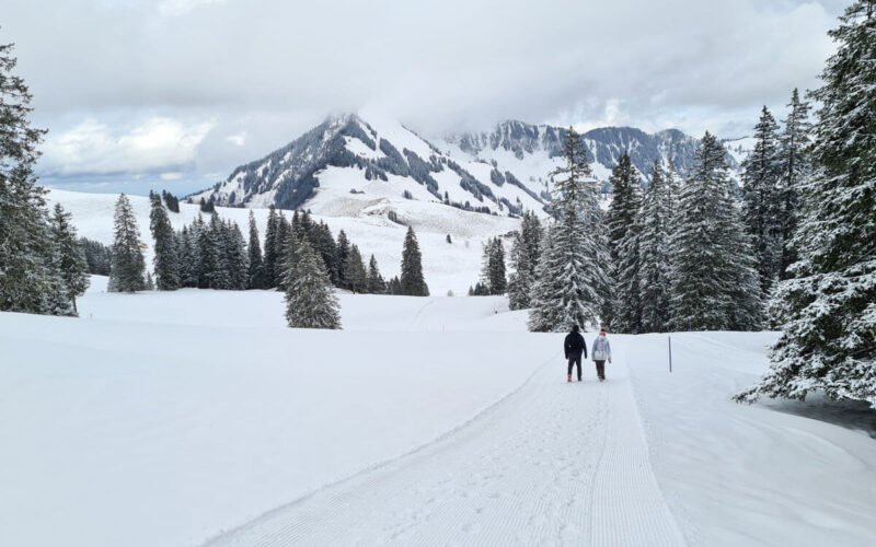
This snowshoe hike near Lucerne traverses a gorgeous mountain arena, then hikes along a ridge up to the Hüenderegg peak with panorama views. Although the trail requires a little stamina to climb the hills, it’s relatively short and not technically difficult, a good choice for families and casual hikers.
Around the halfway point, there’s a mountain café where you can lounge in the sun with big views. Our family loved this hike, one of our very favorite snowshoe hikes in Switzerland we’ve done so far.
| Location: | near Lucerne, Central Switzerland |
| Trail start: | Brügg-Ruogig cable car (Brügg 1, 6463 Bürglen) |
| Trail end: | Eggberge-Flüelen cable car (next to Flüelerstrasse 112, 6460 Altdorf) |
| Car: | Park at Eggberge cable car station: 46°53’35.8″N 8°37’37.7″E From Lucerne 22 mins, Zürich 50 mins Then bus to Brügg (Bürglen) to Ruogig cable car station |
| Transit: | Bus stop: Brügg (Bürglen) From Lucerne 1hr25, Zürich 1hr40 |
| Trail: | 5.3 km one way, about 2hr |
| Technical skill: | moderate |
| Stamina: | moderate, 130m up, 380m down |
| Elevation: | highest point 1830m |
| Cost 2023: | Cable car fee: CHF 23/adult. CHF 10.50/child No discounts for travel cards |
| Open: | mid Dec to end of March |
| Services: | restaurant along trail at Fleschsee and at trail end at Eggberge |
| More info: | www.eggberge.ch • webcams • weather • open status |
Location
This trail is located southeast of Lucerne in central Switzerland. The trail is accessed by a cable car. It’s a one-way trail, you’ll need to take a bus to return to your starting point.
Ski resort map
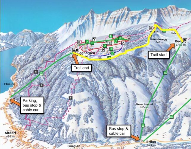
Here is the Eggberge winter map. The yellow line is the trail. There are cable cars at both ends of the trail. A public bus connects the valley stations.
Here’s the trail map from a sign on the trail. We started at point 7 and hiked to point 1.
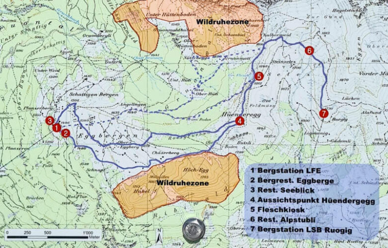
Trail map
This snowshoe hike is a one-way trail. It starts from the Brügg-Ruogig cable car and hikes to Fleschsee, where there is a mountain restaurant. Then up to the Hüenderberg peak, the highest point of the hike. Then down to the Eggberge cable car, which takes you back down to the valley.
This trail is 5.3 km. It took our family (including my 14yr old teen) about 1hr45 walking time, 2hr15 total including breaks. We hiked the direction Ruogig to Hüenderberg, because it was less elevation gain in this direction. But if you want more fitness, you can hike in the other direction.
See trail map on Komoot • Schweiz Mobil • OutdoorActive
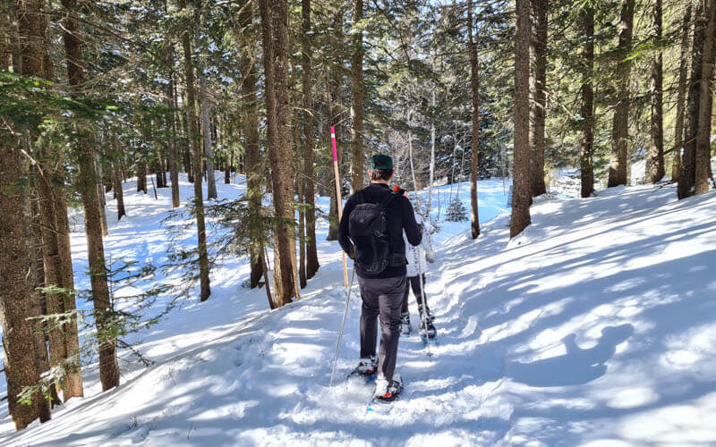
Trail condition: This is a snowshoe trail, meaning that the route is marked with pink poles. But the snow is not groomed, so you need snowshoes. If you don’t have snowshoes, you can follow the winter hiking trail instead, which leads to Fleschsee. You can see the trail on their interactive map.
Technical difficulty: The trail has a one traverse, where the trail was a bit narrow on the side of a slope, but it was not particularly dangerous. There is a short part on the ridge descending from Hüenderberg that is quite steep, but you can easily bypass this by using the wider trail on the backside of the peak (more about that below).
Getting there
This is a one way trail, so you’ll start in a different place than you end up.
By public transport: Take a bus to Brügg (Seilbahn), where you will catch the cable car to the start of the trail. The trail ends at Eggberge, where you ride the cable car down to Flüelen. You can catch at bus at the Flüelen, Eggberge Talstation stop directly outside the cable car station. Or it is a short walk to the Flüelen train station or boat dock for more options.
By car: We recommend parking at the end of the trail at the Eggberge cable car, taking a bus to the cable cat at Brügg, then hiking back to Eggberge.
So drive to Flüelen and park the metered lot next to the Flüelen-Eggberge- cable car (next to Flüelerstrasse 112, 6460 Altdorf). This main lot (circled in red below) is usually full. There is another lot at the back (circled in blue) that is kinda hidden. If both of these are full, you can next door at the indoor pool (circled in green). Last time we went, parking cost CHF 5 for the day. You can pay with cash or the EasyPark mobile app.

Then catch the bus (across the street from the parking lot, circled in yellow above) to Brügg (Seilbahn), where you will ride the cable car up to reach the hike. Bus 408 is a direct connection and runs every hour on the xx:38. But there are other bus connections about every 20 mins. Check the current schedule here.
Ticket prices
They offer a combo hiking ticket for this area, which covers the cable cars on both ends, which is slightly cheaper than buying the single rides individually. If you buy your tickets at the Brügg-Ruogig station, it’s CASH ONLY. So make sure to bring enough cash.
In 2021, this “Kombibillette” hiking ticket costs CHF 21/adult, CHF 10.50/child aged 6-15, under 6 free, CHF 6/dog. No discounts with travel cards like SBB GA, Half-fare or Junior cards. See current prices.
You can also buy a “Rundreisebillet mit ÖV” ticket that includes the bus between Eggberge and the other cable cars, CHF 25/adult. But if you have a SBB Half-fare card, the bus fare is only CHF 2.20. So it’s cheaper to pay for that separately.
Opening times
Winter season in this area is usually mid December through end of March, depending on the snow conditions.
The Brügg-Ruogig cable car runs daily, every 30 mins from 6:30 to 19:00. With at least 3 people, it will run on demand. It closes over lunch between 12:00 – 13:00. Check current schedule here.
The Eggberge cable car runs daily from 7:30 – 19:00 (a little earlier weekdays, check current schedule). It runs every 30 minutes on the xx:00 and xx:30. It usually closes over lunch between 12:00 – 13:00. On busy days, it will run on demand with at least 4 people.
What to wear & bring
You should wear warm layers appropriate to the weather forecast and waterproof outer layers to stay dry in the snow. For footwear, you should wear waterproof hiking shoes and snowshoe attachments. Bring hiking sticks for balance (best with snow baskets so they don’t sink into the snow).
Bring at least 1L water per person and snacks. See also: What to pack & wear on a winter hike.
Where to eat
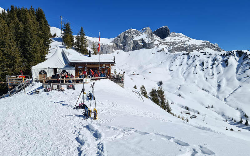
There is a mountain cafe at Fleschsee, about the halfway point near the Hüenderegg peak (see on map). They serve drinks and small meals including soup, sausage and cheese & meat platters. During winter Dec – March, they are open on Saturday, Sunday, Monday and public holidays for Canton Uri (different cantons celebrate different holidays). They are closed April through beginning of May.
At Eggberge, there are a couple restaurants including Berggasthaus Eggberge, which is next door to the cable car station.
Photo story of the trail
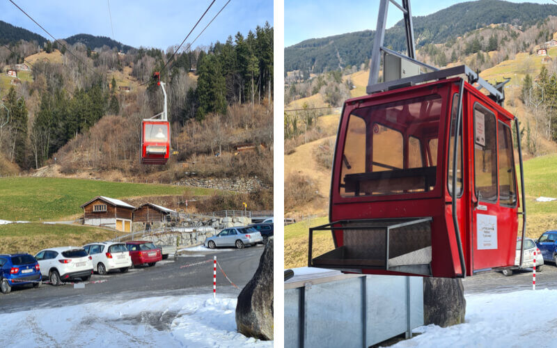
When you get off the bus at Brügg, follow signs to the Ruogig cable car (not the Biel cable car). It’s a 4 person cable car as shown here. At the middle station, you pay for your tickets – CASH ONLY. Then you board a second 6-person cable car that takes you up to Ruogig and the start of the trail.
At the top cable station, there is a toilet but no other services. From the cable car station, follow the trail straight ahead with the pink poles. There is also a groomed winter trail to your right, which leads to Biel (see details for that trail).
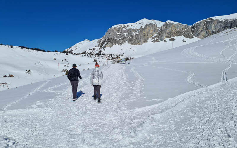
Follow the pink pole that mark the snowshoe route. Unless you are there immediately after fresh snowfall, the route will be tramped down by other hikers.

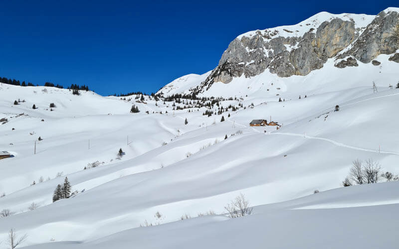
The trails starts quite easy, just traversing this mountain arena, walking up and down rolling hills.
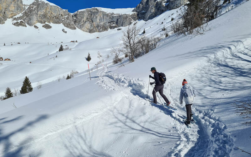
You can see our trail crossing the hill.
There is only one section that traverses a slope, where the trail can be narrow. But the slope isn’t so steep. Hiking sticks can be helpful here.

Now you start to climb.
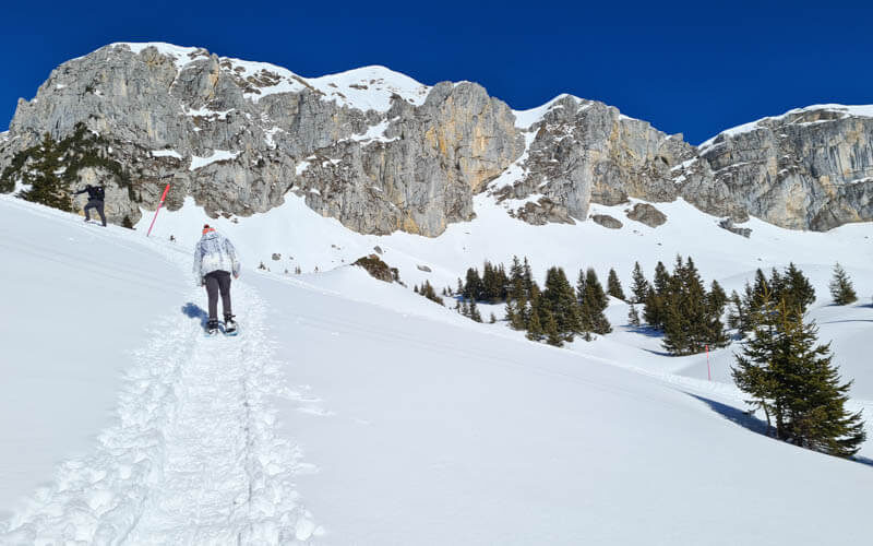
Now a steeper climb. We got a little tired here.
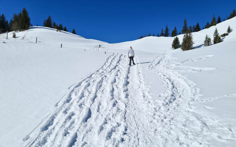
Looking back on the trail. There are actually a few snowshoe trails that criss-cross these hills, so I got a little confused when I saw pink poles far away from us. But basically, you just keep walking forward, no sharp turns. You might want to download the trail map on your phone and check it as you walk. That’s what I did.
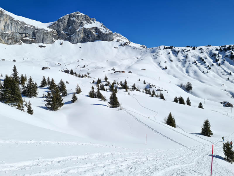
The first steep climb is over here, yay! Now we turn left at that trail sign in the shade and walk over to Fleschsee.
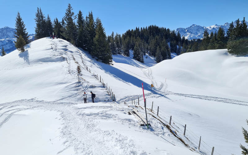
There weren’t many pink snowshoe signs. So at this yellow summer trail sign, we went in the direction Fleschsee.
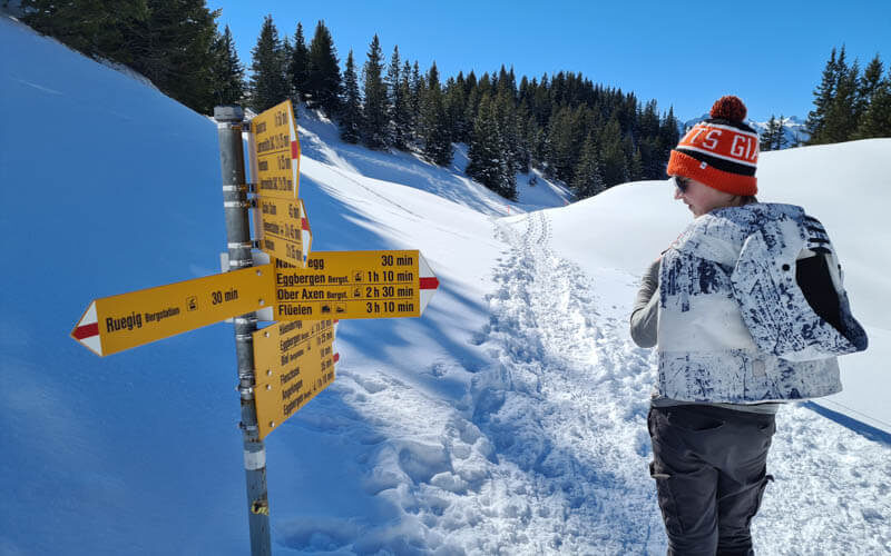
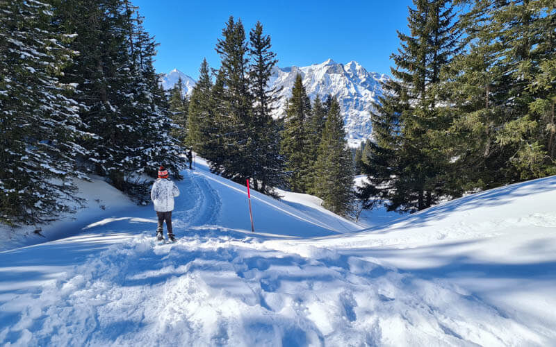
A really lovely quiet part of the trail.
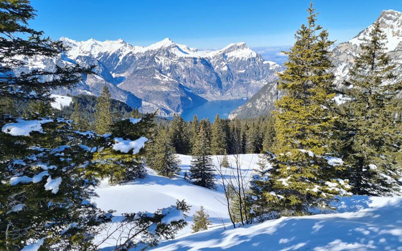
Gorgeous views down to Lake Lucerne.
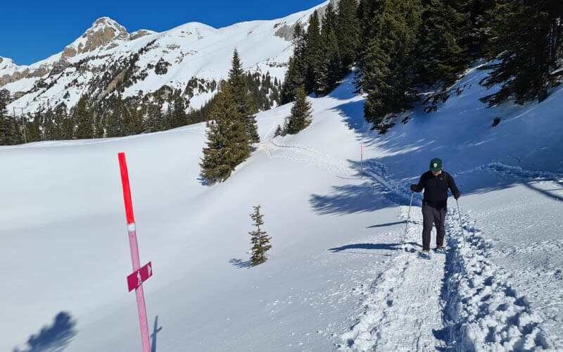
Arriving at Fleschsee
Reaching the Fleschsee lake, but it was under a lot of snow. So it didn’t look like a lake at all.
Just about the lake, you’ll find Fleschkiosk, a small mountain cafe with great views. Simple meals here. I’d bring cash just in case they don’t take cards.
Now a climb up the ridge to the Hüenderegg peak. When we were there, this section was groomed with a machine. But I’ve seen pics where this trail is not groomed.
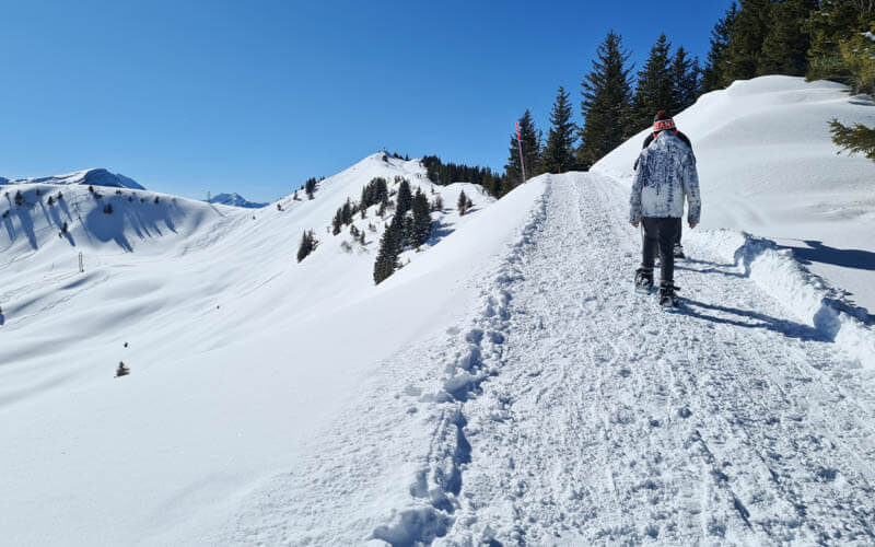
Making memories together.
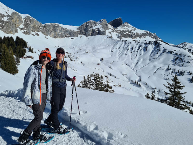
This part takes a bit of extra energy, but it’s not too long.
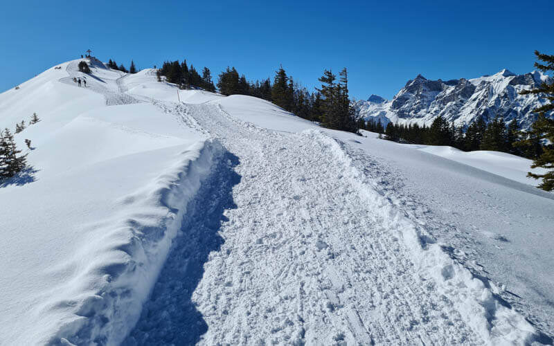
Last steep bit to the peak. We put up the heel supports on our snowshoes for this.

Hüenderegg peak
At the peak, there are couple benches. But it was so crowded, there was nowhere for us to sit. I could barely take a picture. We only stayed a couple minutes, then kept walking. You can see in the pic that some hikers skipped the peak and kept walking on the groomed trail behind the peak. You can go down there is you want to skip the steep ridge section ahead.
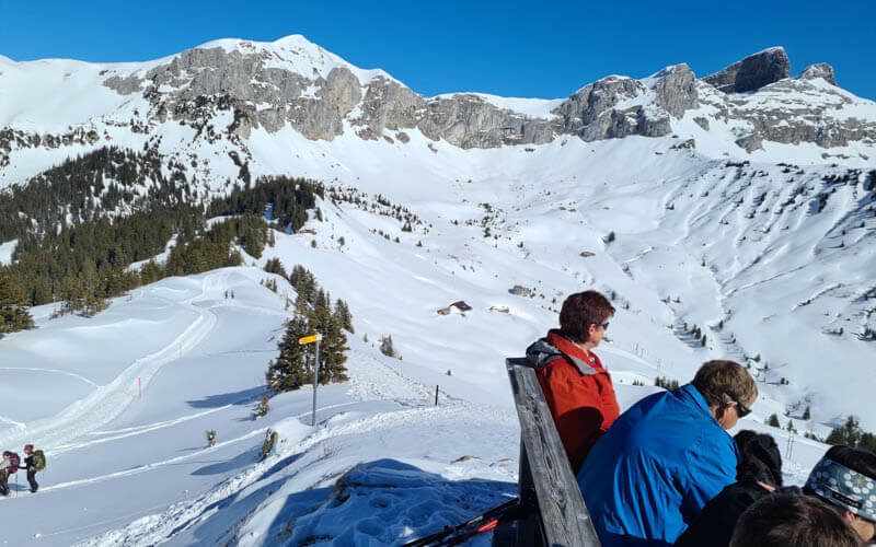
Just beyond the peak, the snowshoe trail continues down the ridge. This section was a bit steep, so my son and husband chose to take the easier trail behind the peak. But I continued down this trail for research purposes.

It was a little steep in parts, but not excessively difficult. I relied on my hiking sticks and went very slowly. This section is quite short. My son and husband were on the lower tracks to the right and we met up after only a couple minutes.

After we met up, the trail winds through the forest a bit.
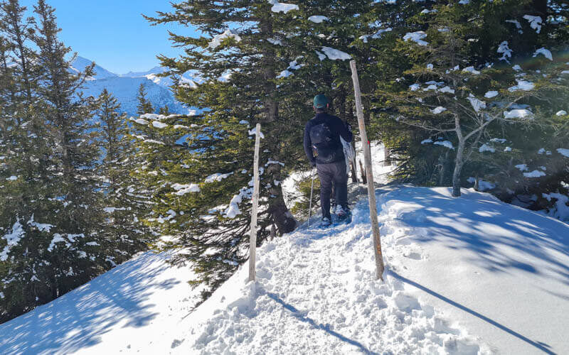
Then down some big fields. Sometimes it was a bit steep and we slipped and fell in the snow, but nothing dangerous.
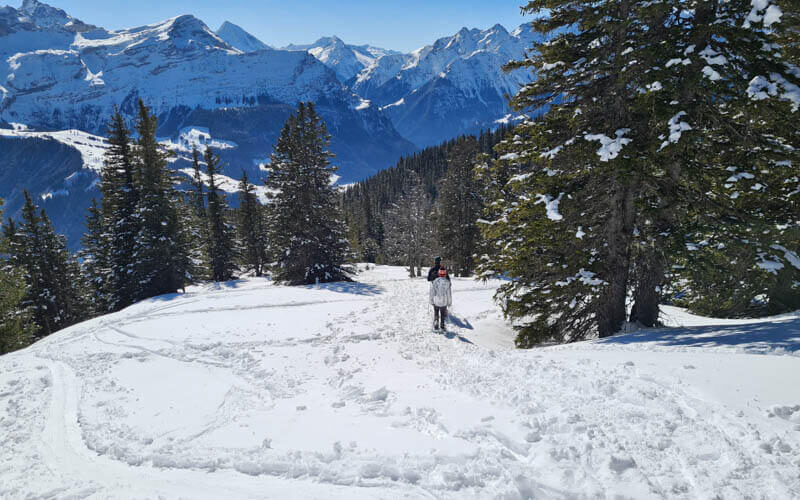
Lots of tracks criss-crossing these fields. So keep an eye on those pink poles so you head in the right direction.
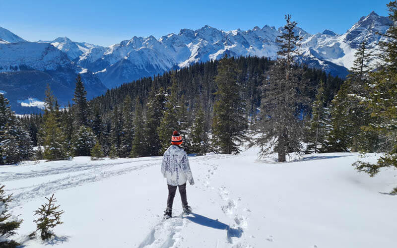
Now a long flat section.

Easy walking here, following the power lines to the alpine village.

More pink poles.
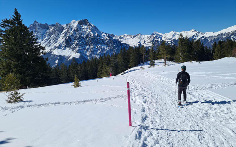
A cold bit through the forest.
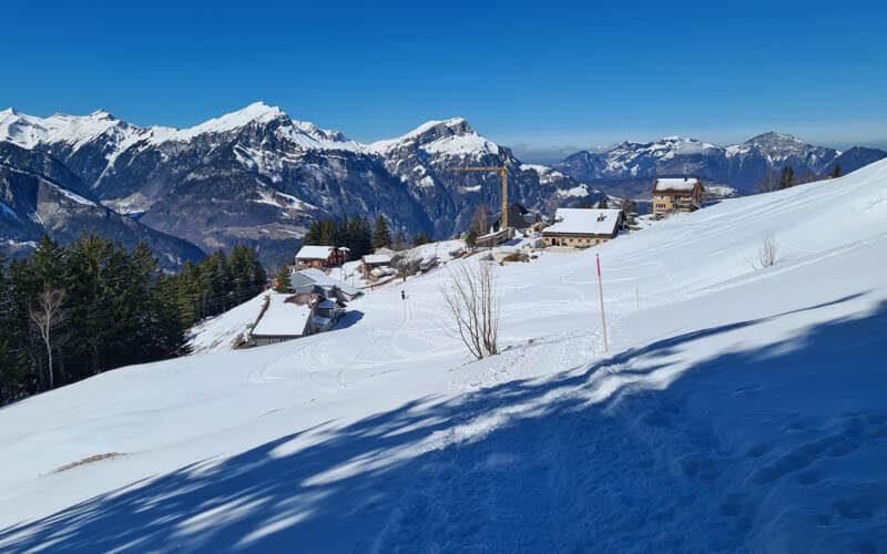
Arriving at Eggberge
The trail leads you to the Eggberge village shown here. The cable car is straight ahead to your left.
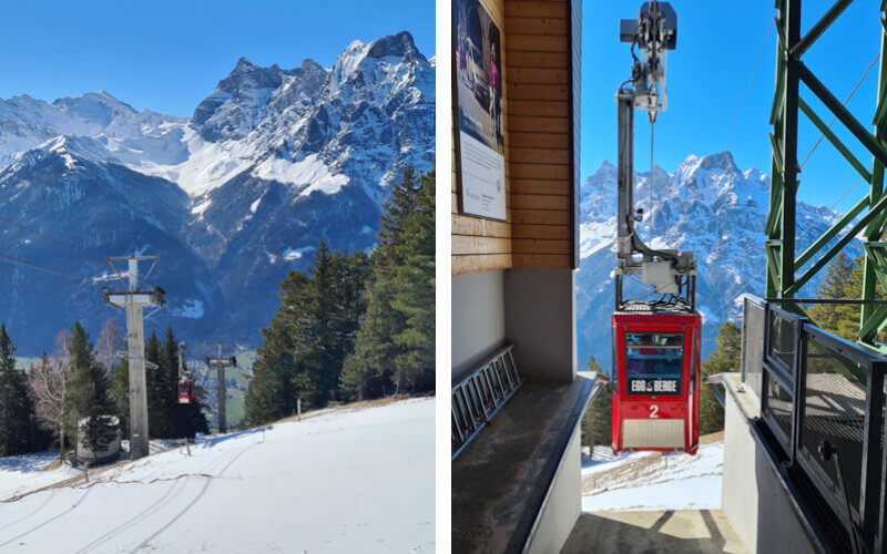
It’s another small cable car that fits about 15 people. I think it runs on demand with at least 4 people. You show your ticket at the valley station.
I hope you enjoy this snowshoe hike!