This ridge trail near Davos showcases some of the best views in the region. Starting with the Jakobshorn cable cars, you hike along a rugged ridge to the Jatzhorn peak for a sweeping panorama view.
Continue the ridge to the Tälli pass, then wander down through a high alpine valley sprinkled with wildflowers and rambling streams.
The trail ends in the picturesque Dischma valley, where you can catch a bus back to Davos.
The terrain is very rocky, often with steep slopes to the side. Best for those with steady feet and a head for heights, but not particularly dangerous.
Keep reading for all the info you need to plan this hike.
Quick Info
| Region | Davos Klosters • Graubünden • southeast Switzerland |
| Start: | Jakobshorn cable car – Brämabüelstrasse 11, 7270 Davos |
| End: | Davos Dischma, Teufi bus stop |
| By car: | Parking near Jakobshorn cable car – Skistrasse 22, 7270 Davos Platz From Zürich 2h |
| By public transport: | Davos Platz train station From Zürich 2h30 |
| Trail: | 3h • ⬇️ trail map |
| Distance: | 9.3 km round trip |
| Difficulty: | moderate • +264m -1131m |
| Condition: | uneven rocky terrain and dirt footpaths |
| Elevation: | highest point 2681m |
| Open: | late May to October |
| Cost: | one way cable car + bus to return to Davos |
| Discounts: | bus included with Swiss Travel Pass, Saver Day Pass, Davos Day Pass (VBD), GA cable car discounted by Davos Premium Card |
| Services: | restaurant at start and end of trail |
| More info: | davos.ch • Jakobshorn webcam • forecast |
Gallery
These pics on the Jatzhorn ridge trail are from the second week of July.
Trail Overview
Starting at the top of the Jakobshorn cable car, the trail follows the ridge to the Tälli pass. Then down to the Dischma valley, ending at the Teufi bus stop.
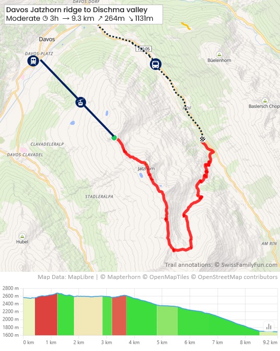
See trail map on SchweizMobil • Komoot
It took us 2h48 walking time, about 4h30 on the trail with a few stops and picnic.
Trail conditions
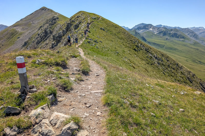
The trail starts on a rocky ridge with very uneven terrain and tall steps. Best with sturdy hiking shoes with good tread and hiking sticks.
The second half of the trail is through alpine meadows on a dirt path, easier walking on this section. Last section is on a steep dirt service road with lots of loose rock.
Shorter hike
If you want a shorter hike, less downhill, and/or easier logistics, hike along the ridge to the Jatzhorn peak, then back the same way. About 1 hour round trip.
Longer trail
If you want to hike more, from Teufi, you can keep following the trail all the way to Davos, about 1h20 to the Davos Dorf train station.
How to get there
This trail is located in Davos, in the Graubünden region of southeast Switzerland.

You reach the one way trail with a cable car. The trail ends at a bus that takes you back to Davos.
Start with Jakobshorn cable car
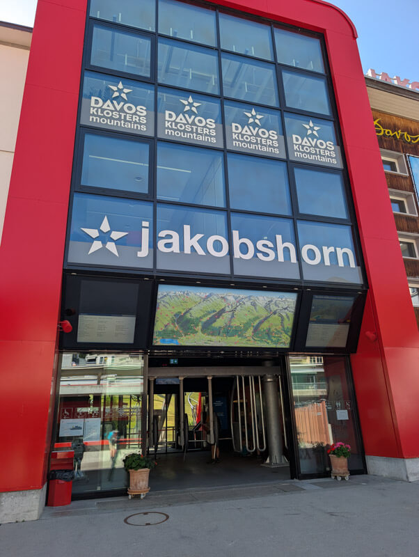
You start by riding the Davos-Jakobshorn cable car up the mountain. The Jakobshorn cable car is a 2 min walk from the Davos Platz train station.
If you come by car, you can park in the large metered parking lot next to the Jakobshorn cable car – see on map.
Return to Davos via bus
The trail ends in the Dischma valley, where you can ride a bus to the Davos Dorf train station.
Bus timetable: Davos Dischma, Teufi > Davos Dorf, Bahnhof
If you need to return to your car, ride the train or bus to Davos Platz train station, which is a 2 min walk from the Jakobshorn parking.
Costs
You’ll need a one-way ticket on the Jakobshorn cable car to reach the trail. Plus a one-way bus ticket from Dischma Teufi back to Davos.
Jakobshorn cable car ticket
In 2026, a one-way ticket on the Jakobshorn cable car costs CHF 30/adult. See current prices.
Discount for youth (13-17), children (6-12), and families. Children under 6 ride free.
No discount for Swiss Half Fare Card, Swiss Travel Pass, GA. The SBB Junior Card and Swiss Family Cards are not valid.
Bus ticket
In 2026, the bus fare from Teufi to Davos costs CHF 7.80/adult. Discount 50% with Swiss Half Fare Card and for children (6-15).
Best to purchase tickets on SBB.ch shortly before your journey, not on the bus.
The bus to Dischma valley is regular public transport, so free with Swiss Travel Pass, Saver Day Pass, GA. Also free for children with SBB Junior Card or Swiss Family Card.
Davos Premium Card Discount:
If you are staying overnight in the region, you get the Davos Premium Card.
With the card, you get a discount on the Jakobshorn cable car. Show your card at the ticket office to get the discount.
The card covers local buses in Davos, but not the full journey in the Dischma valley. You will need to buy a ticket from Teufi to Abzw. Büelen, which is the border of Zone 400 Davos.

Planning your day
When to go
This trail is possible as soon as the snow is melted. Since it is at a high elevation, this usually happens around mid June. Check webcams.
Where to eat
At the start, there is the Sun Peak restaurant at the top of the Jakobshorn cable car. At the end of the trail, there is Restaurant Teufi across from the bus stop.
Otherwise, no services along the trail.
What to bring
Since there are no services on the trail, bring at least 1L of water per person plus snacks.
The rugged terrain is best done with sturdy hiking shoes with good tread. Hiking sticks are very helpful.
We suggest downloading the trail on your phone as you may not have mobile service on the trail.
Where to stay
This hike is closest to Davos, a convenient base for exploring this region.
We enjoyed our recent stay at Hotel Waldhuus Davos (4-stars), which has a quiet location. Our beds were very comfortable and we love the beautiful mountain views from the balcony.


Their breakfast is generous with a nice selection of local cheese and freshly cooked omelets. Their restaurants serves elevated versions of Swiss classics, very tasty.
This hotel is especially family-friendly, with a spacious family suites, supervised kids club, playground, indoor pool, mini golf and game room.


Note: our recent stay was hosted by Hotel Waldhuus. As always, all opinions are our own.
Photo story of trail
Riding up the mountain
We started in Davos, riding the Jakobshorn cable car up the mountain. It usually departs every 30 mins, but can go every 15 mins on weekends and busy days.
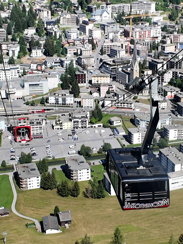
View of Davos from the top of the cable car.
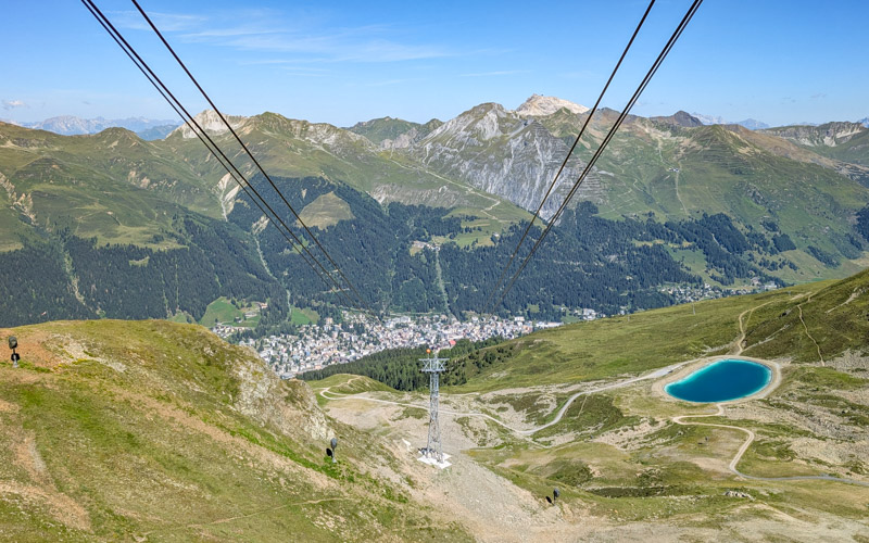
There is a restaurant and toilets at the top of the cable car, last services till the end of the trail.
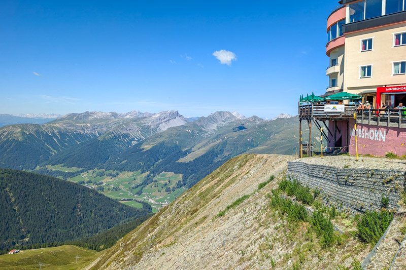
Starting the hike
From the cable car station, follow signs to Jatzhorn, starting on the wide flat path you see below.
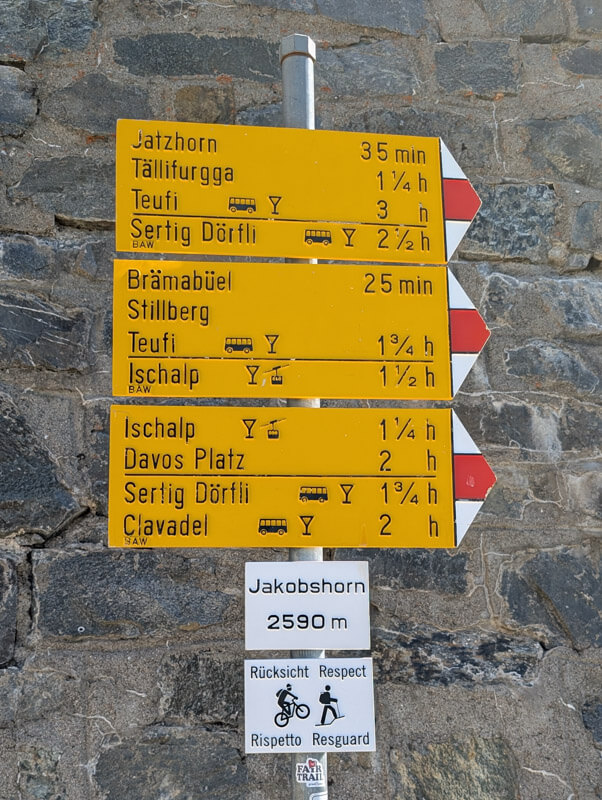
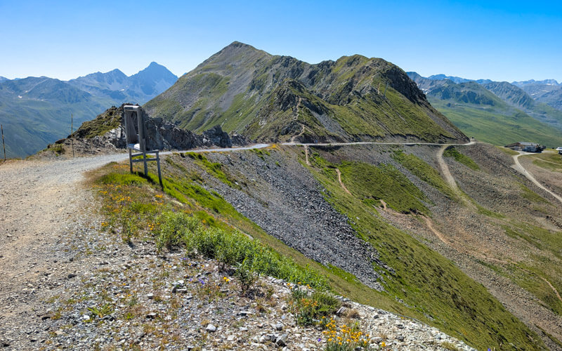
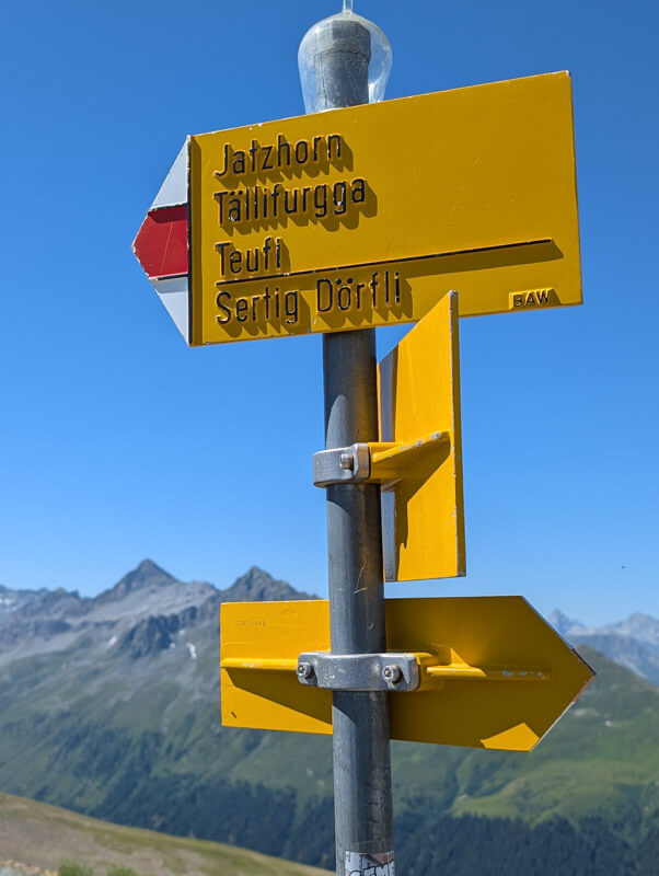
After a couple minutes, follow the sign towards Jatzhorn and Tällifurgga, branching onto this footpath headed up the ridge.
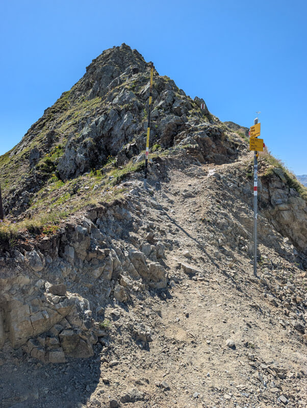
The terrain looks a little intimidating at first, but it’s not that difficult.
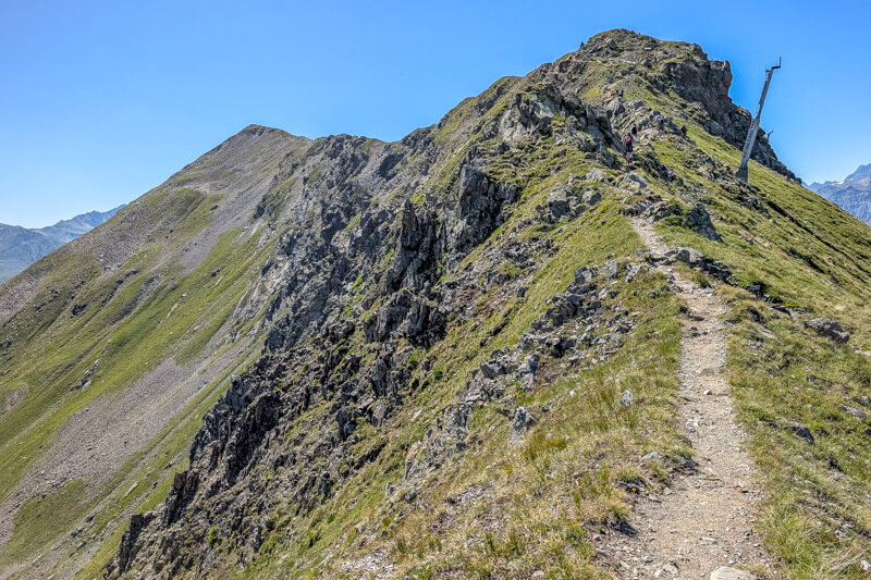
Looking back at the start of the trail.
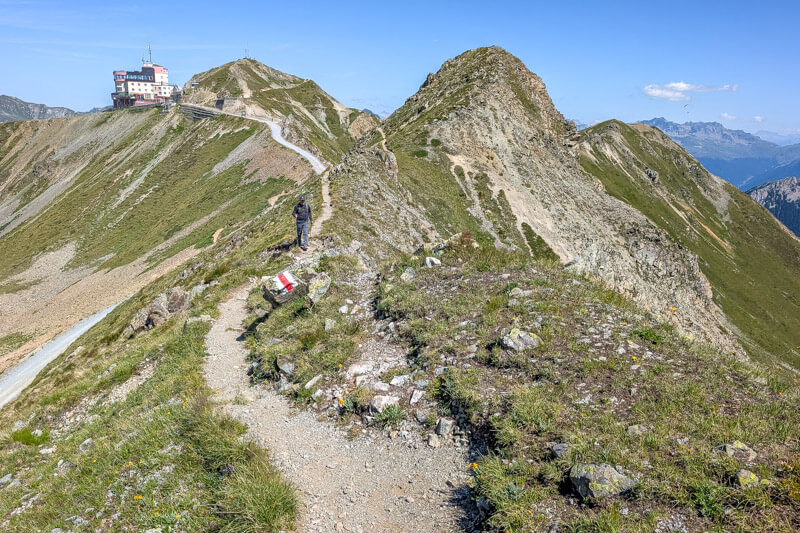
View of the ridge you’ll be hiking across.
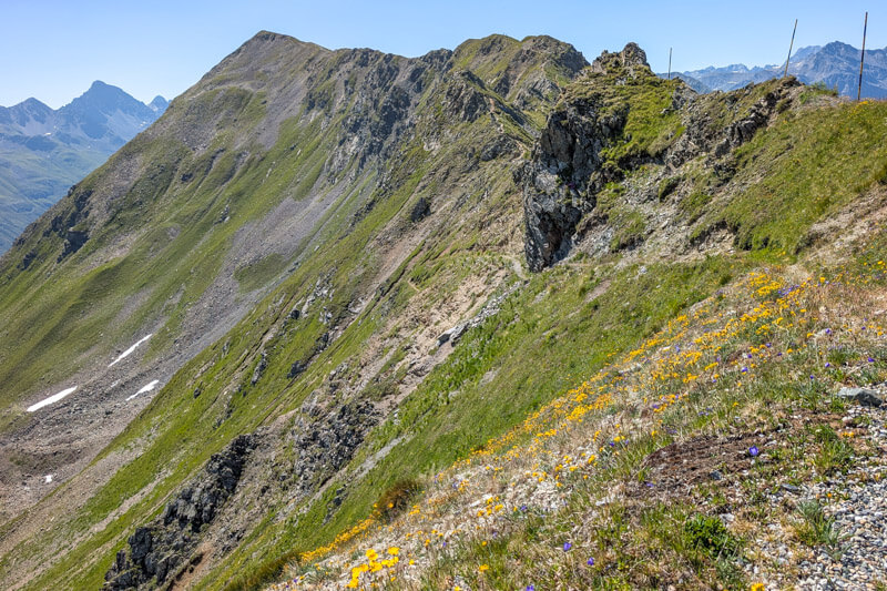
Up to the Jatzhorn peak
The trail was much easier than I expected, not dangerous.
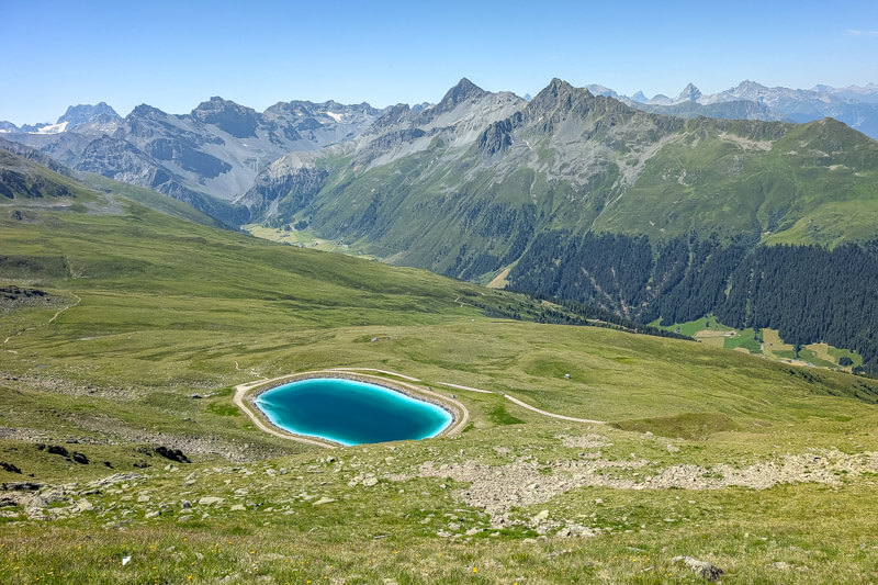
View down to Sertig valley below.
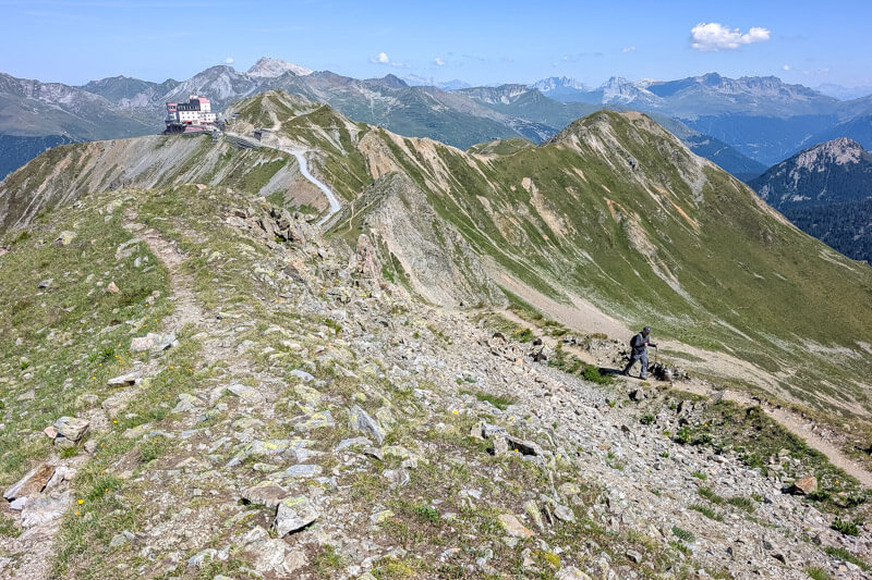
Looking back again to our starting point.
Fun to see the whole region from this vantage point.
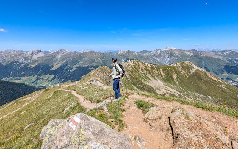
After about 15 mins of hiking, you reach the Jatzhorn peak. If you want a short day, you can just turn around and hike back to the cable car.
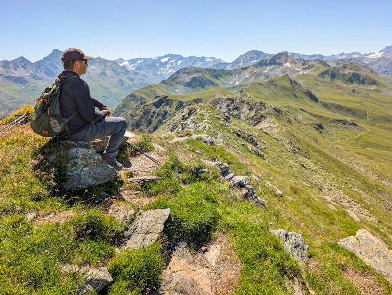
The trail was surprisingly quiet for a sunny Sunday in July. We saw only about two dozen other hikers over the whole hike.
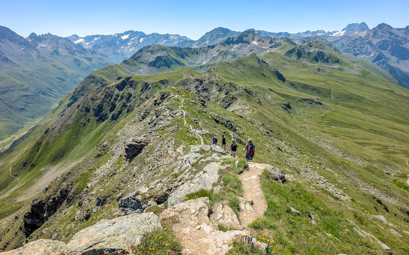
Continuing along the ridge
Along the ridge, there is a lot of up and down, but not a lot of elevation gain.
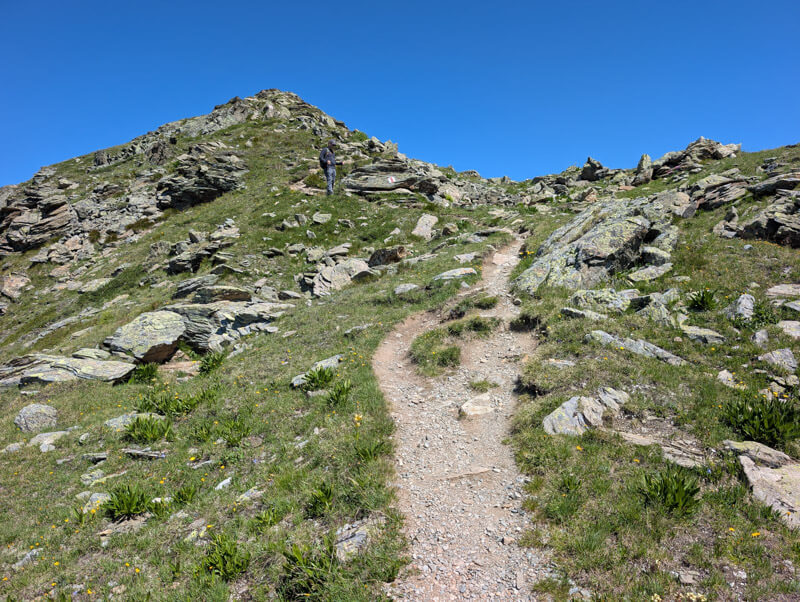
I just love this craggy look.
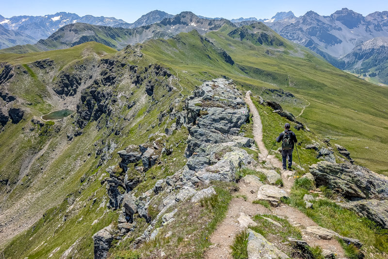
Some sections were super easy and flat.
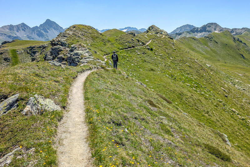
Looking back on the trail.
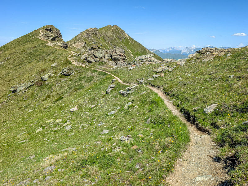
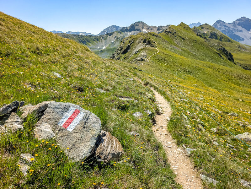
A couple sections had steep slopes to one side. You should be careful but it wasn’t particularly dangerous.
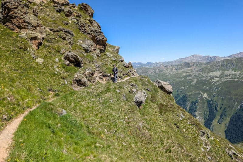
Looking back on the trail.
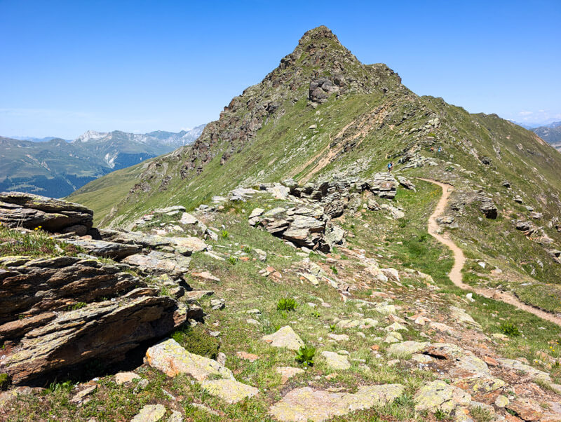
Almost to the pass.
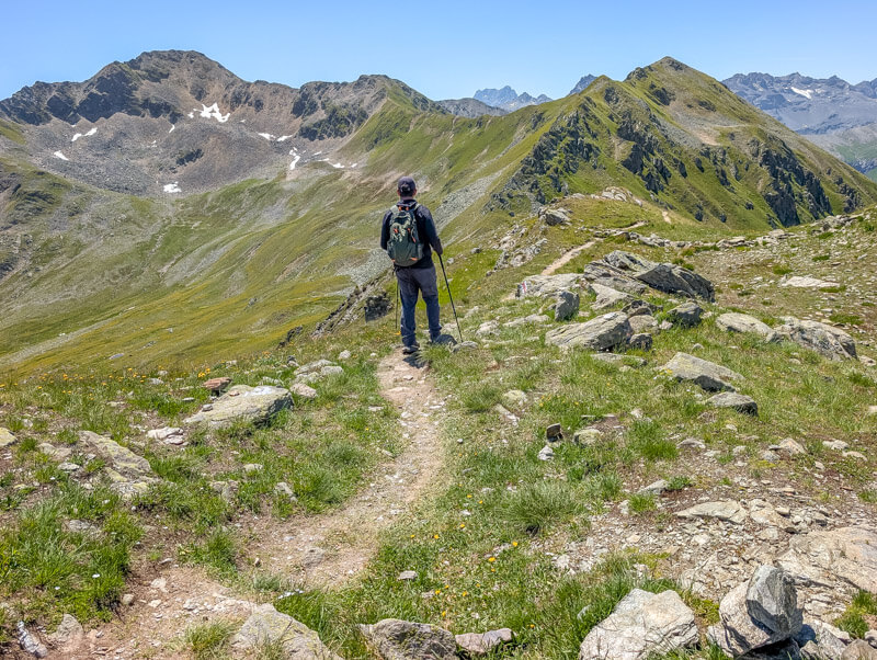
Down the Rüedisch valley
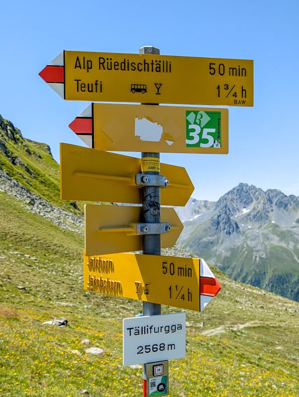
After about 1 hour hiking, you reach the Tälli pass. Fork left, following signs to Alp Rüedischtälli and Teufi (end of your hike).
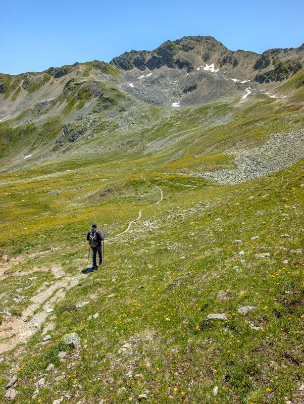
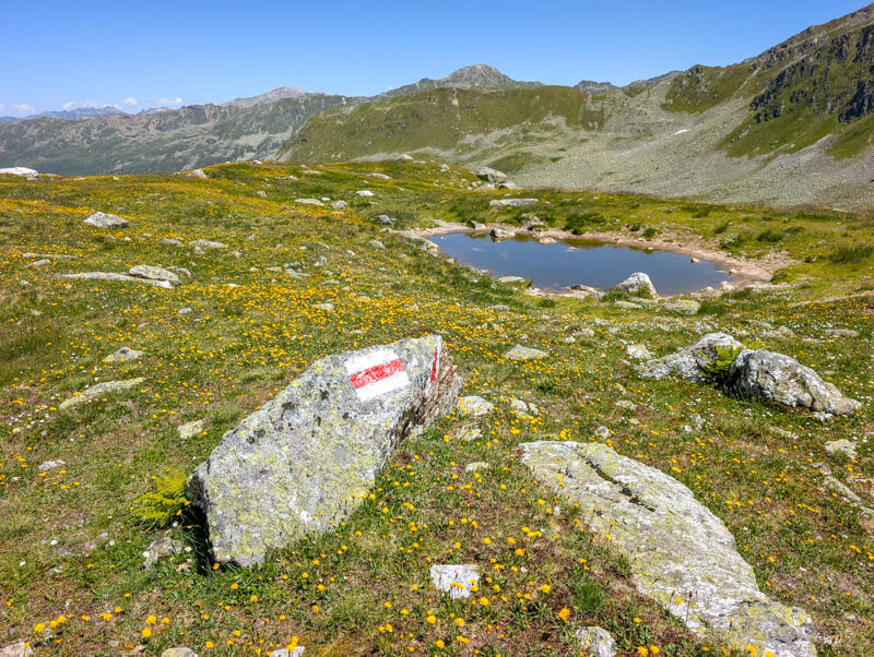
Now a pretty mild descent through alpine meadows lots of flowers and rocks.
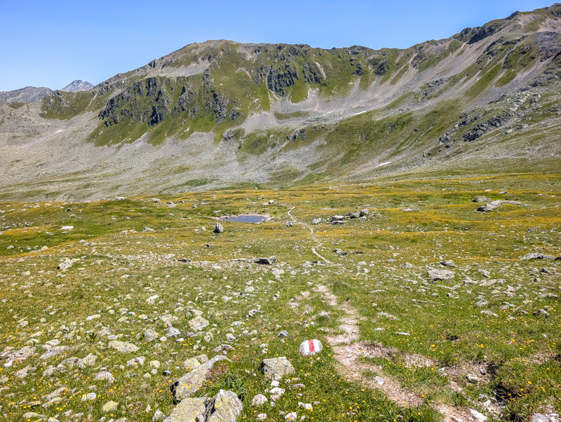
A cute little pond but not much of a reflection.
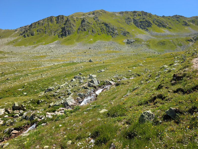
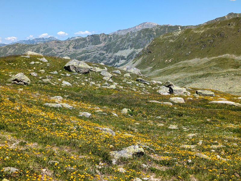
Looking up at the ridge we hiked across earlier.
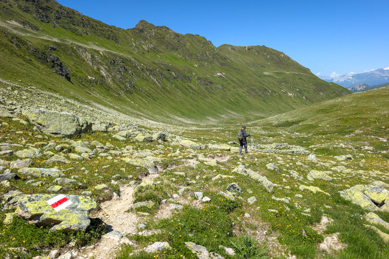
Following the stream down the mountain.
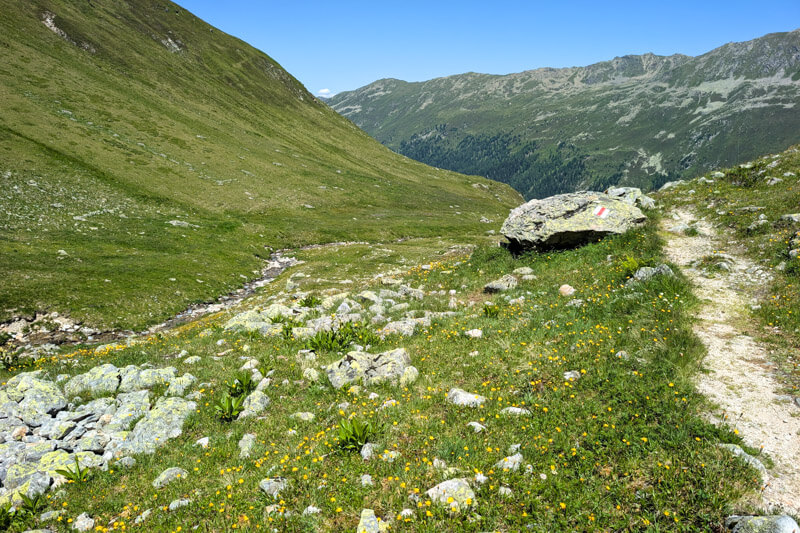
This is Alprüedisch, nothing happening here, no services. Just turn left and follow the service road down the mountain.
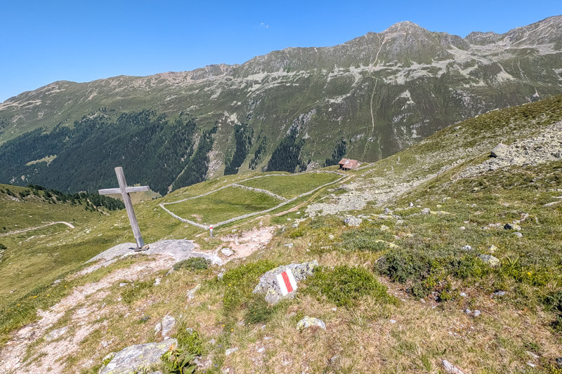
You start by crossing a bridge over the river. We stopped here for our picnic and cooled our feet in the water.
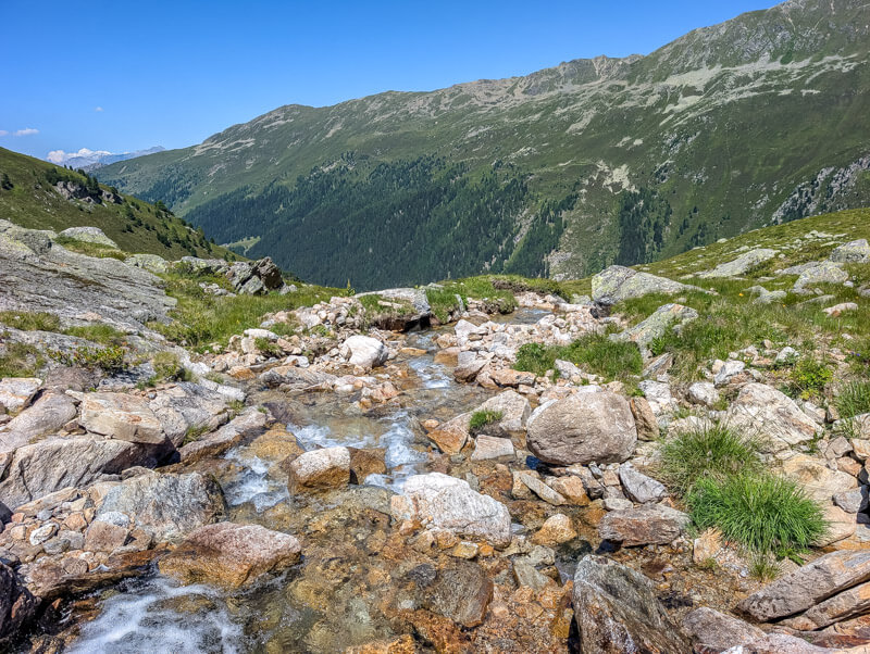
Down the service road
Now walk down on a steep dirt service road for about 45 mins. Honesty, a bit miserable. Just take it slow.
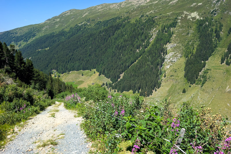
We slipped a lot on this part, so many loose rocks. Hiking sticks saved us so many times.
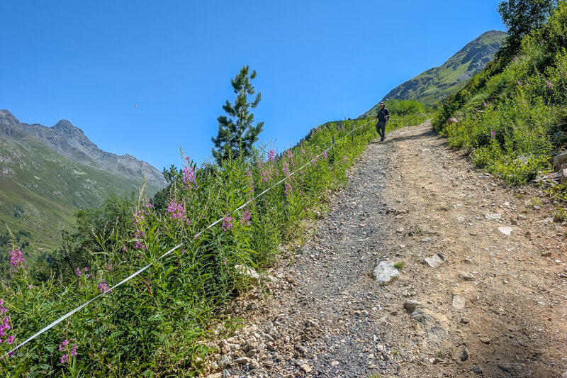
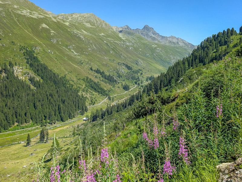
So happy to see the valley and almost be done with the descent.
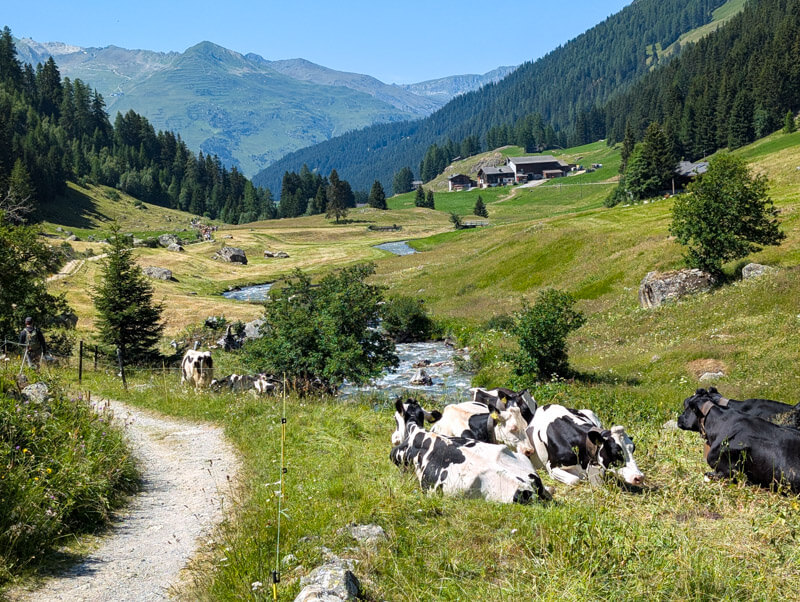
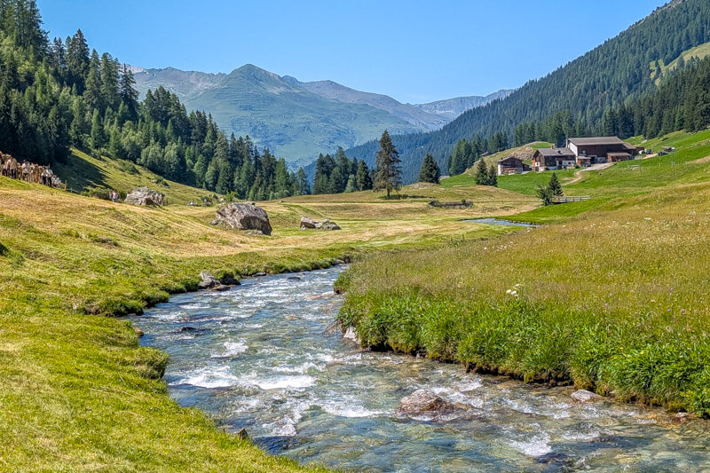
Once you reach the valley, it’s about a 8 min walk along the river to Teufi, where you’ll find the bus stop.
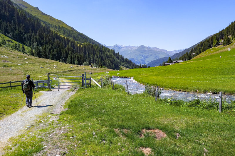
This part is very lovely. If you want to hike more, you can keep following the trail all the way to Davos. From Teufi, it’s about 1h20 to the Davos Dorf train station and pretty flat.
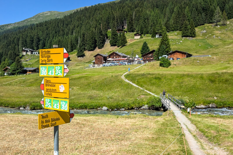
Turn here to reach the Teufi bus stop and restaurant.
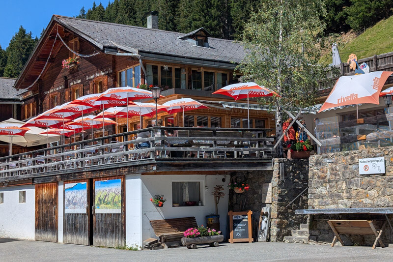
We can recommend Restaurant Teufi for good hearty Swiss food.
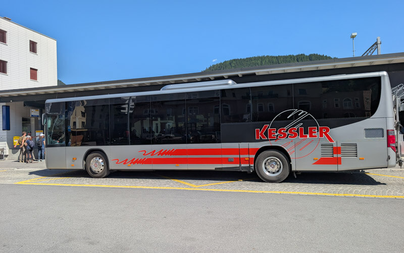
The bus departs about once an hour, but quite irregular. So check the timetable carefully and keep an eye on your watch: Davos Dischma, Teufi > Davos Dorf, Bahnhof.
It’s a big bus, but on weekends, it can be quite full bringing people back from farther up the valley.
I hope you enjoy this hike!




