The easy trail hikes up and over the Katzenstrick hill, which overlooks the Einsiedeln village. This hike can be done year round, but is particularly nice in winter, when everything is covered in snow. The path is mostly on a country road, which is lightly used by residents and farm vehicles. So even though the snow is not groomed, the cars tamp down the snow enough that you usually only need regular hiking shoes. Besides the gorgeous mountain views, we like this trail because it’s super close to Zürich and you don’t need to pay for a gondola.
| Location: | near Einsiedeln, central Switzerland |
| Address: | Trail start: Katzenstrickstrasse 8, Altmatt Trail end: Einsiedeln train station |
| Car: | Parking: Biberbrugg train station, then train or bus to Altmatt 40mins from Zürich |
| Transit: | Bus stop: Altmatt bus stop 1hr45 from Zürich |
| Trail: | 4.4 km one way, about 1hr15 |
| Difficulty: | easy, snow not groomed on trail |
| Elevation: | highest point 1050m, 120m up, 160m down |
| Cost: | train fare about CHF 11/adult (SBB discounts apply) parking fee, if applicable |
| Open: | year round, weather dependent |
| Services: | restaurant at end |
| More info: | www.eyz.swiss • webcams |
Location
This trail is located near Einsiedeln, a small town south of Zürich. You can access this trail by train or car. But since it’s a one-way trail, you will need to take public transportation to connect the ends of this trail, as described in detail below.
Trail Map
Here is the trail map for the Katzenstrick winter hike (fyi, sometimes it is spelled “Chatzenstrick”). This one-way trail starts at the Altmatt bus stop, hikes up and over the Katzenstrick hill, and ends in Einsiedeln. There are train and bus stops at both ends. The path is mostly on a country road, lightly used by residents. I chose to hike in the direction from Altmatt to Einsiedeln because it meant we had a longer mild uphill instead of a short steep uphill. Plus we would end in Einsiedeln, where we could easily lunch at a café.
In winter, snow is not always cleared off snow, but local traffic will tamp down the snow. We were able to walk it with regular hiking shoes, not snowshoes. There is a short section that follows a walking path instead of the road, where the snow may be deeper. If you can’t manage it, you can continue on the road instead and join the trail again after a few minutes.
See trail map on Komoot • Schweiz Mobil • OutdoorActive
Longer options: If you want to walk longer, you can continue walking through the Einsiedeln village and join Winter Trail 555.
Getting there
This winter hike is a one-way trail, so you’ll need to use public transportation to return to your starting point.
By car: drive to the Biberbrugg, Bahnhof train station (47°09’21.9″N 8°43’22.2″E) and park in a metered spot. You can pay the meter in cash or with the EasyPark app. Take the S31 train to Altmatt, a 4 min ride. It runs hourly on the xx:38. Or you can take bus 507 from Biberbrugg to the Rotenthurm, Altmatt Bahnhof bus stop. The trail starts next to the Altmatt bus stop.
By transit: take a train or bus to Altmatt to start the trail. The trail ends in Einsiedeln, where you can catch a train home.
The trail ends in Einsiedeln, where you can catch a train back to Biberbrugg or your starting point. Trains for this connection run about every 15-20 mins. Check the current schedule.
Note: Trains do not automatically stop at the Altmatt station. You have to request it by pushing the Stop button on the train, shown below at a table near the seats. When the train stops, push the button to open the door and exit carefully as there is no platform. You just walk across the tracks.

Prices
Your cost for this hike is the public transportation to access the hike and parking fees, if applicable. If you are arriving by public transportation, your cost will vary based on where you start your journey. If you are traveling by car, expect to pay CHF 5 for the parking and about CHF 11/adult for the train fare (regular SBB travel card discounts apply).
Opening times
This area is rather low elevation, so it doesn’t necessarily have snow all winter. If there is heavy snow, you’ll need snowshoes. If there is light or no snow, you can do this trail with regular hiking shoes, any time of year. Check a nearby webcam to see the current snow situation.
What to wear & bring
You should wear warm layers appropriate to the weather forecast and waterproof outer layers to stay dry in the snow. For footwear, you should wear waterproof hiking shoes or snow boots with good traction. You don’t need snowshoe attachments. If you have traction cleats, bring them just in case parts of the trail are icy. I would bring hiking sticks for balance (best with snow baskets so they don’t sink into the snow).
It’s a short hike with restaurants at the beginning and middle. But I would still bring water and snacks. See also: What to pack & wear on a winter hike.
Where to eat
There are no services along the trail. Near the end of the trail, there is a self-service farm shop with some snacks and drinks. You can pay with cash or Twint. Once you reach Einsiedeln, there are many restaurants, cafes, and grocery stores. There is public toilet at the Biberbrugg and Einsiedeln train stations.
Photo story of the trail
Arriving in Altmatt
We took the train from Biberbrugg to Altmatt, the train station shown here. From the train station, walk out to the main road and turn left.

Or maybe you got off the bus at the Altmatt bus stop, shown here. The trail starts near the bus stop on the other side of the street.
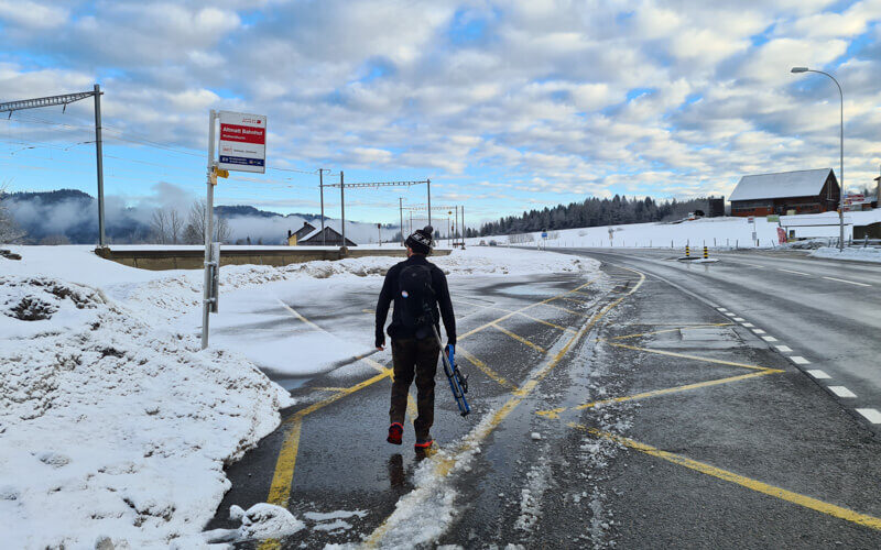
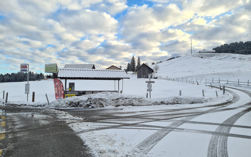
Here is that other bus stop and the trail starts going up that road on the right.
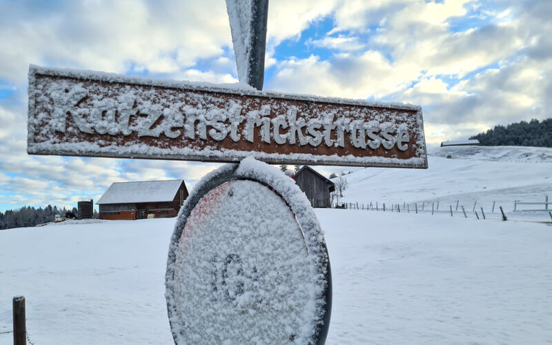
You are walking on the street called Katzenstrickstrasse, after which this trail is named.
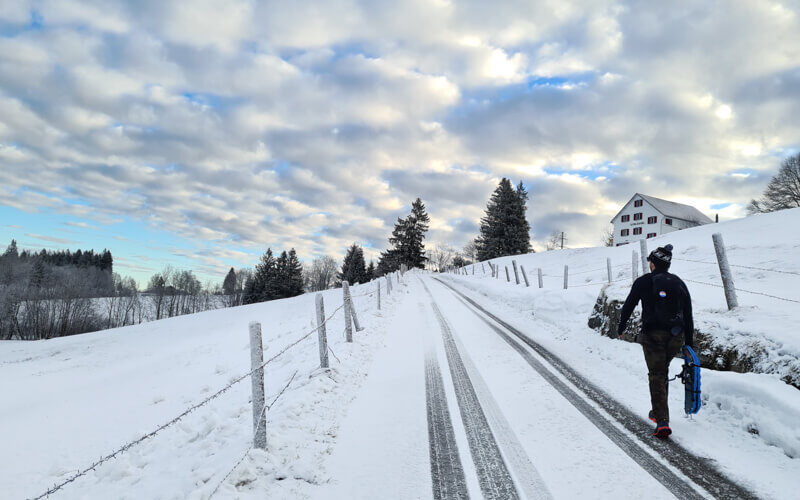
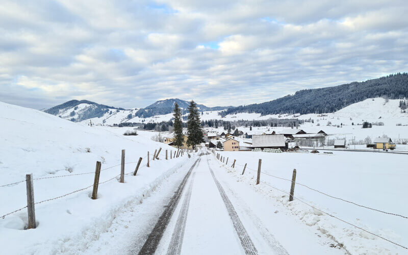
You walk on this road most of the time. Three cars passed us over the duration of the hike.
Looking back down the trail to Altmatt.
Don't miss out on today's trending deals!
Join thousands of users enjoying exclusive benefits right now.
After a few minutes, the road has more snow. It seemed that maybe they plowed the road to this point, then stopped.
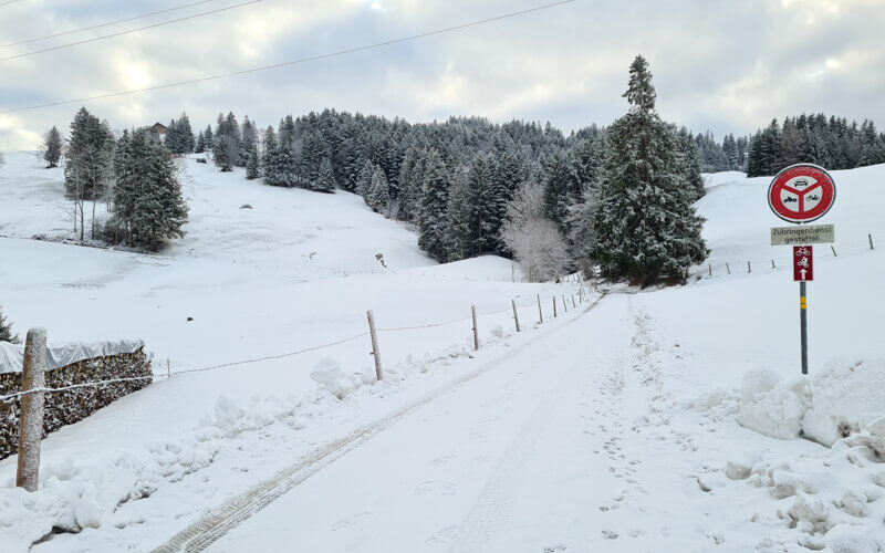
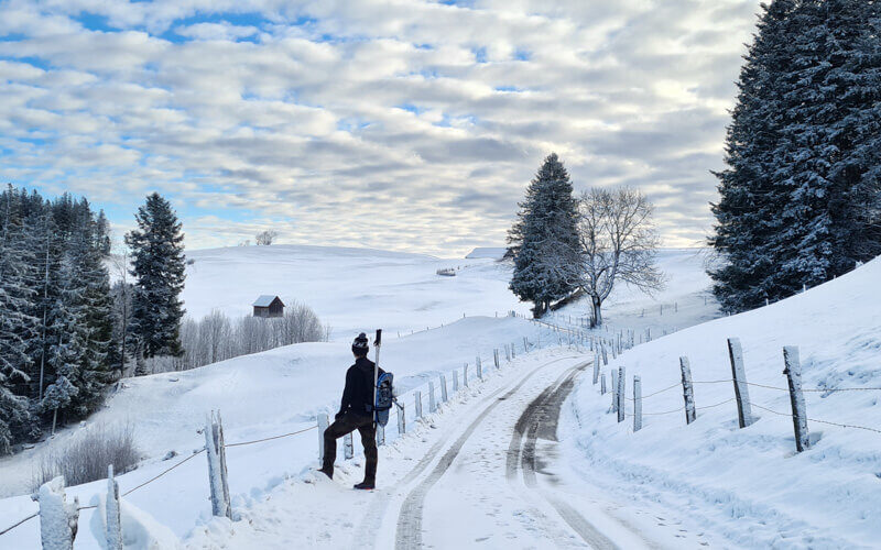
It’s a mild uphill going in this direction. You hardly notice it.

Just gets prettier the longer you walk.
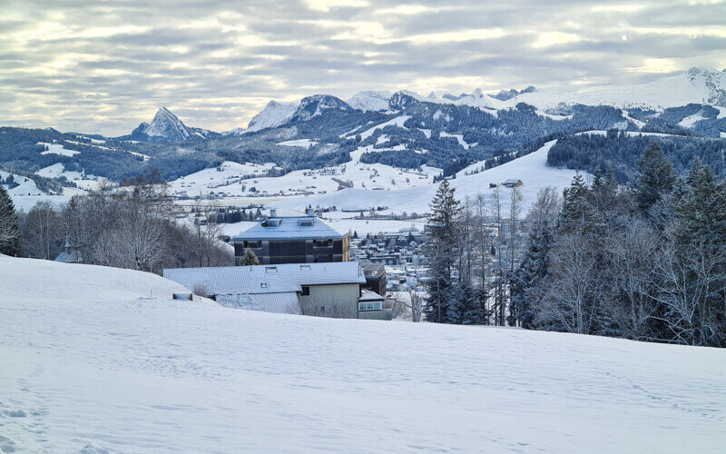
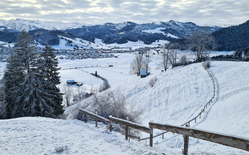
Coming over the top of the hill and now we can see Einsiedeln.
Still on the road for a bit.
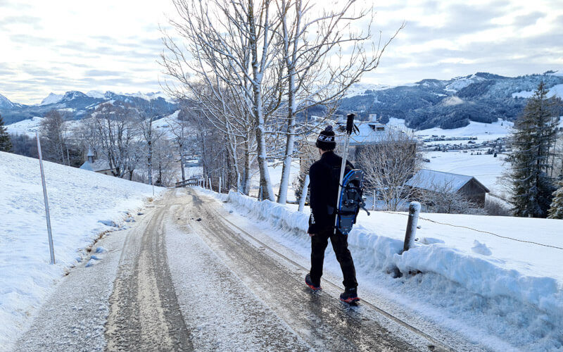
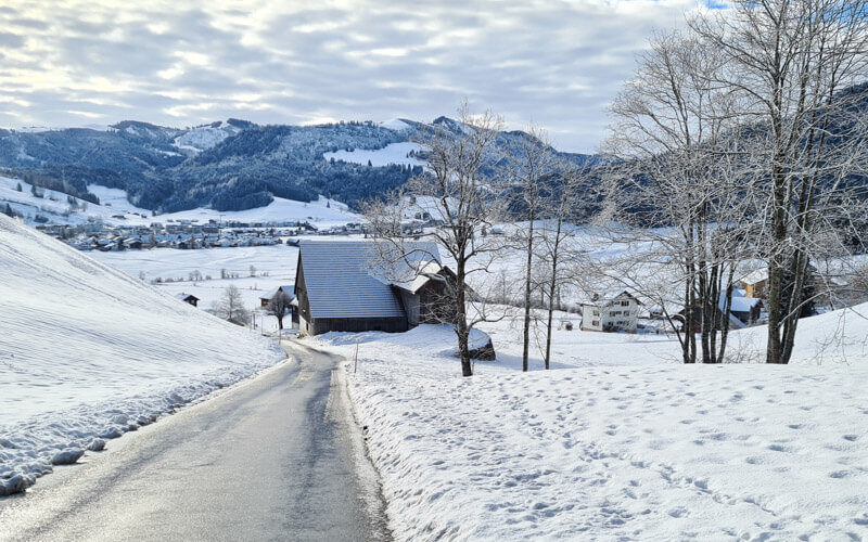
Pretty mountain views and rolling countryside.
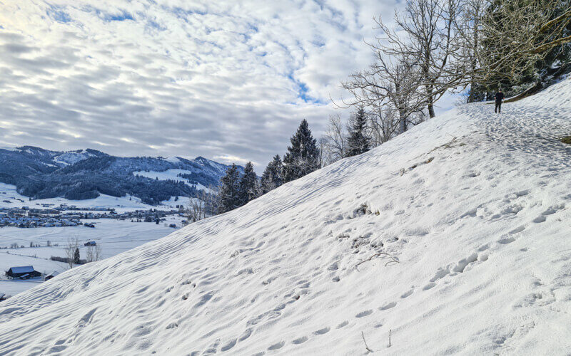
Now a short section diverts from the road and follows a footpath. The snow was not deep when we were there, so we had trouble on this part with just hiking shoes. My husband used his traction cleats. It’s a little steeper here, so we were glad to have hiking sticks for balance.
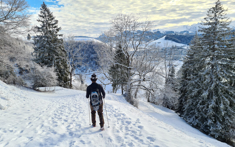
In this photo, on the right, you can see my husband walking down a slightly steep part.
Crossing a small stream in the forest.
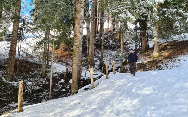
Leaving the footpath and rejoining the road.
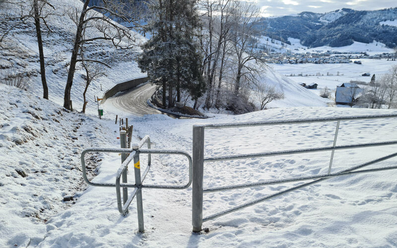
Continuing on the road all the way back to Einsiedeln.
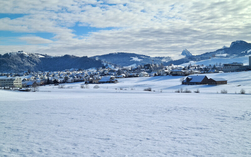
Big flat field, full of cross-country skiers.
A small honesty farm shop here with cakes, yogurt, eggs, etc. You can pay with cash or Twint.

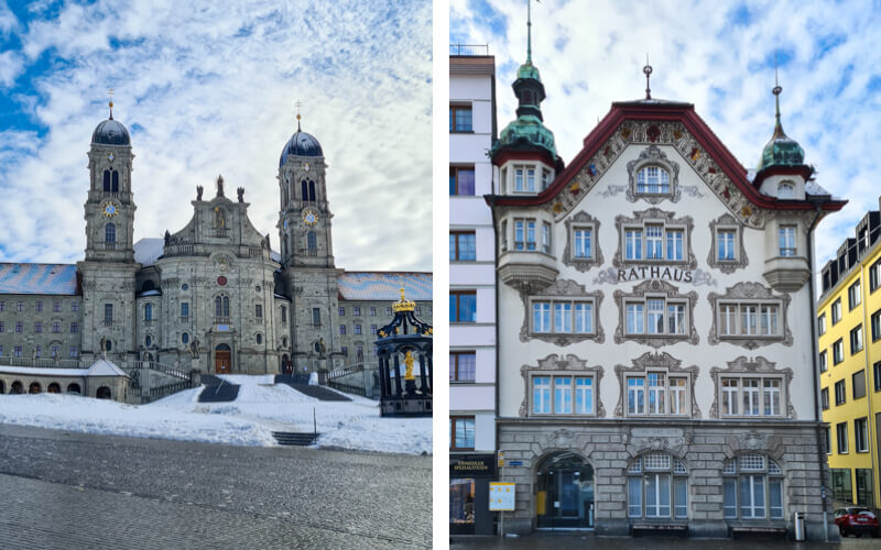
Once we reached Einsiedeln, we walked a bit more into town to see the famous monastery and eat lunch at a café. I suggest you do the same.
I hope you enjoy this hike! Should be nice in spring too.




