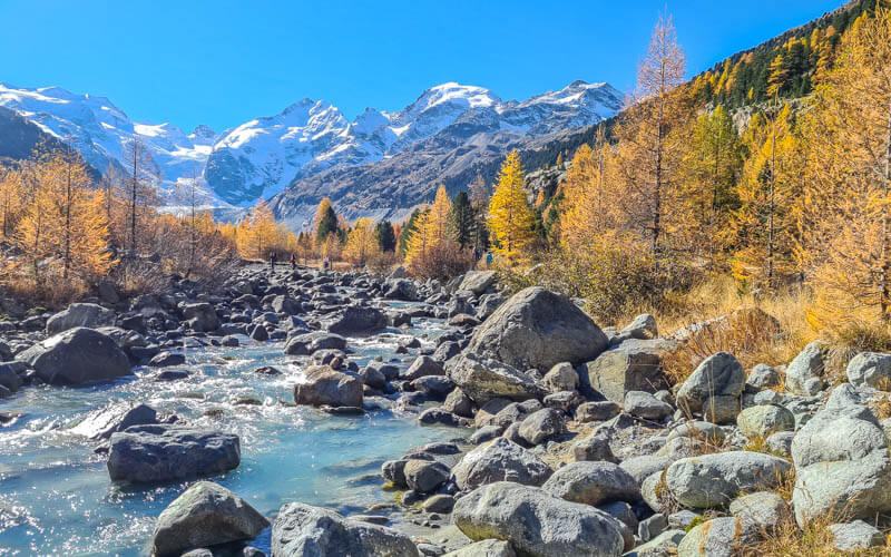
This trail in the Atzmännig mountains near Zürich has fabulous panorama views and a lush forest, particularly nice in October with the fall colors. It’s a moderate loop accessed by a chairlift, with a restaurant at the halfway point for refreshments. For a treat, you can add on a variety of amusements including an alpine slide and ropes course.
| Location: | Eastern Switzerland |
| Address: | Atzmännigstrasse, 8638 Goldingen SG-CH |
| By car: | Parking GPS: 47°16’58.3″N 8°59’37.3″E 1hr from Zurich |
| By transport: | Bus stop: Atzmännig, Schutt 1hr20 mins from Zurich |
| Trail: | 6.9 km loop, about 2hr30 |
| Elevation: | 190m up, 520m down, highest point 1290 m |
| Condition: | dirt footpath, stairs, no strollers |
| Difficulty: | moderate (3 of 5), suggested for ages 7+ |
| Open: | May to October |
| Cost 2023: | chair lift one way CHF 9.50/adult, CHF 5.50/child No discounts for travel cards. |
| Services: | restaurant at halfway point, alpine slide, ropes course and other amusements |
| More info: | www.atzmaennig.ch • webcam • weather |
Hiking map
Atzmännig is an arena, with mountains circling around the valley. This trail hikes along the tops of the mountains, also in a circle. The path starts at the top of the Atzmännig chairlift and hikes along the ridge up to Twerlpspitz, then down to Chrüzegg, where you’ll find a restaurant and toilets. Then you continue wrapping around the mountains and finally a long descent down to the Atzmännig parking.
Important note! During fall, there are designated shooting days in a small part of the Atzmännig hills. On these days, you must skip Tweralpspitz and take the detour below it through the forest. On the trail, there are clear signs with the shooting schedule and detour. More details below.
See trail map on SchweizMobil • Komoot • AllTrails • OutdoorActive
The trail is a dirt footpath with lots of obstacles including stairs. It’s not particularly difficult or dangerous but for those with sure footing. It’s suitable for children but not for strollers. You can rent a baby carrier here for CHF 8.
Shorter option: With smaller kids, you may prefer the Spatz Männi Adventure Trail, which is 1hr walking time all downhill, with 8 interactive stations along the way.
Longer option: Skip the lift and hike up instead.
Detour during shooting practice
From September to November, there is a small area at Atzmännig where they do military shooting practice. During designated shooting days/times, you must take a detour around this area, skipping the Tweralpspitz part of the trail. We’ve taking this detour both times we’ve hiked this trail and never made it to Tweralpspitz. The detour is super nice and you’re not missing anything if you happen to be there on a shooting day.
At the top of the chair lift, you’ll see a sign like the one shown below that shows the shooting schedule. Look for your day and see if there is shooting on that day. If there is, just take the detour, which occurs after 1 km on the trail. At the split, you’ll see shooting sign again – fork left for the detour and right for Tweralpspitz.
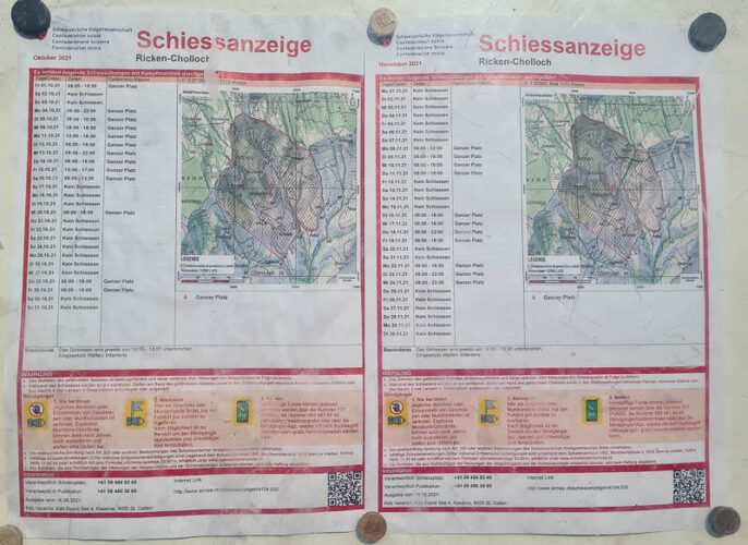
The sign also warns that if you find any unexploded ammunition along the Tweralpspitz section (outside shooting practice times obviously), don’t touch it and report it.
How to get there
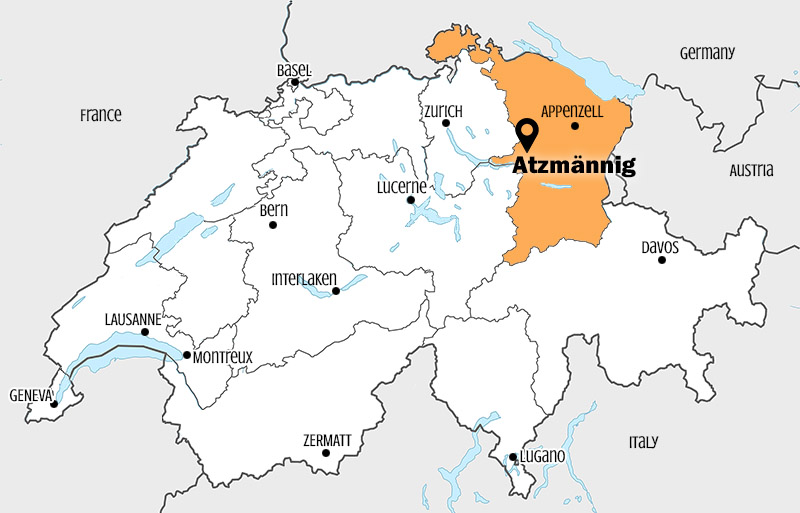
Atzmännig is located in the foothills east of Zürich, easily accessible by car or bus. See on Google Maps.
By public transport:
Take a train to Rüti ZH, then buses to Atzmännig, Schutt, which is directly at the mountain resort. Your exact bus connection will depend on where you are traveling from.
By car:
The official address is Atzmännigstrasse 1, 8638 Goldingen. If it doesn’t come up in your GPS, use these coordinates: 47°17’05.0″N 8°59’43.6″E .
We suggest driving via Goldingen. Otherwise, your navigation may direct you onto a one-lane country road, which is a bit stressful as you deal with oncoming traffic.
The parking lot is metered, make sure to pay the fee. The lot is very large and has a dirt lot that extends towards ropes course. I’ve never had problems parking there but on a sunny Sunday, you may want to arrive earlier than 10:00 to avoid long waits for the amusements.
Planning your day
Ticket prices
For this hike, you need a one-way ticket on the chair lift to reach the trail. In 2021, this costs CHF 9.50/adult and CHF 5.50/children 6-15. Small dogs ride free, large dogs CHF 4.25. No reductions for travel cards.
Operating times
Atzmännig is typically open for summer season from late April through late October.
In summer, the chair lift runs daily from 9:00 – 17:00. On weekdays, it closes during lunchtime, 11:45 – 13:15. It may close due to bad weather. Check the current operating times on their website.
Photo story of the trail
Starting in Atzmännig
Riding up the chair lift. It’s a slow one, so just relax and enjoy the ride. Don’t get off at the middle station, that’s only for those riding the alpine slide.
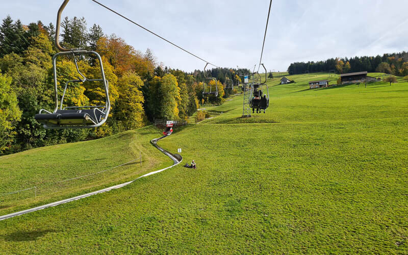
Beautiful views just from the chair lift.
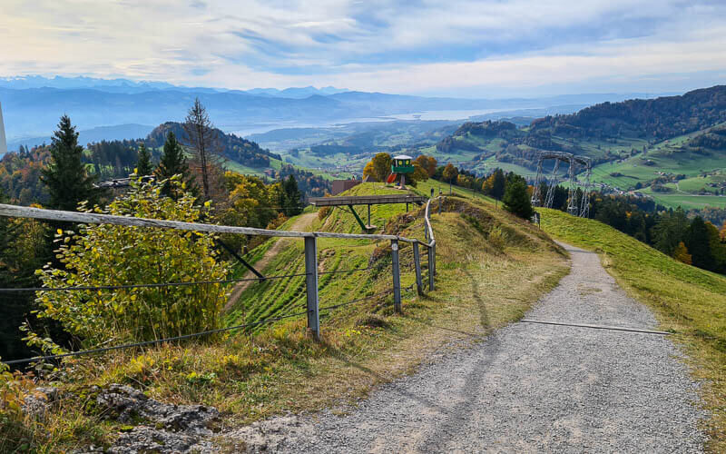
View from the top of the lift. That’s Zürich lake in the distance. This path leads to Trail #1, the shorter theme trail for children that hikes down the mountain through the forest.
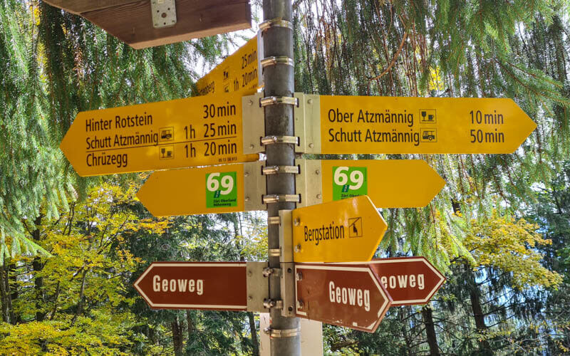
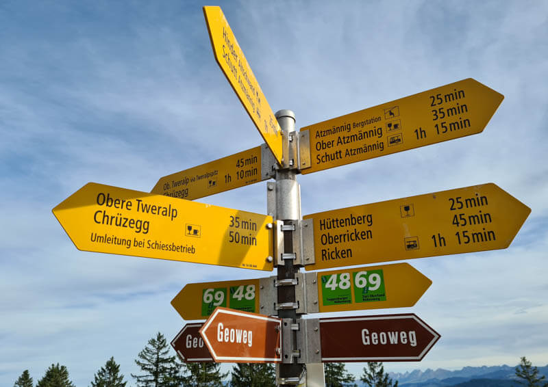
To reach our trail, instead follow the path to the left through the trees. After one minute, you’ll reach this trail sign. Go direction Chrüzegg.
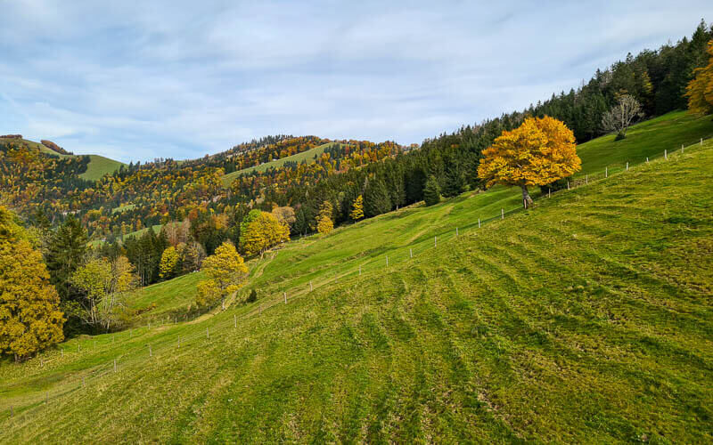
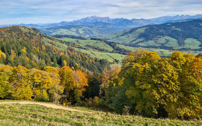
After just a short climb, you get this amazing panorama view.
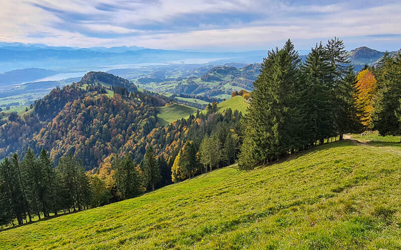
View down towards Walensee.

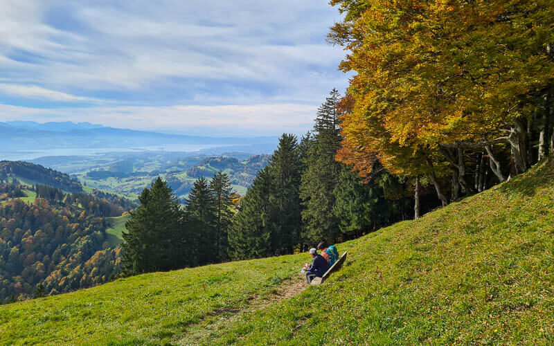
There are a few benches here, a great place for a picnic even if you aren’t doing the hike.
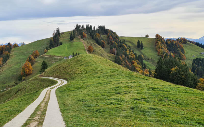
Trail leading up the ridge.

Easy part of the trail, traversing the mountain.
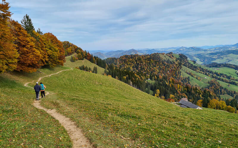
View to the mountains as you walk along the ridge.
Approaching the trail split, where we take the detour to the left.

Detour for shooting days
Here is the sign at the detour, labeled “Umleitung bei Schiessbetrieb” direction Chrüzegg. You must take this detour on shooting days. Both times we’ve hiked this trail, we’ve had to take this detour. So unfortunately, I can’t show you pics of Tweralpspitz. Hopefully next year!
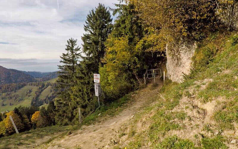
The entrance to the detour path. It starts with a climb on a lumpy path.
SponsoredDiscover top exclusive offers today!
Click here to learn more and take advantage of these limited-time deals.
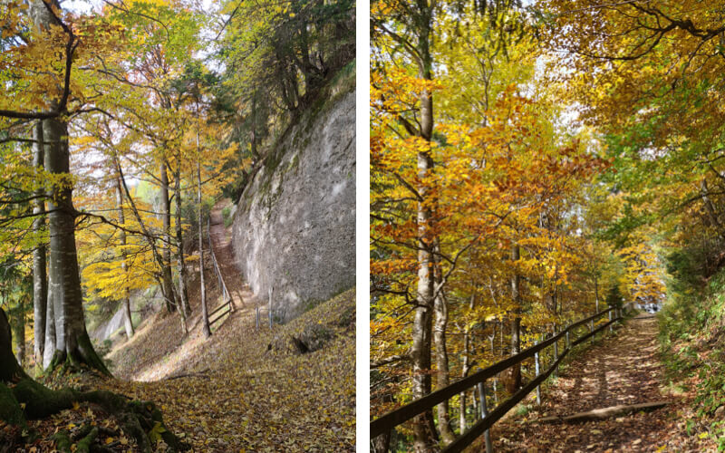
Some stairs through the forest.

You’re not in the forest the whole time on this detour. You get frequent breaks in the trees.

Pretty little house along the way.

Some nice bits in the forest.
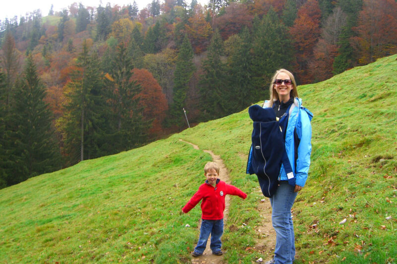
Just for kicks, here’s a pic of us doing this trail way back in Oct 2007.
Last climb up this road to Chrüzegg.
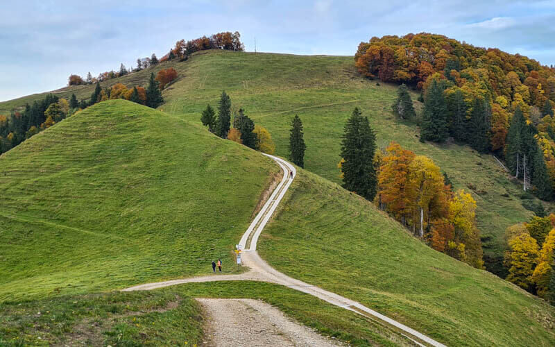
Looking back at the trail. Tweralpspitz is the highest point. You can see our detour trail cutting across below that.
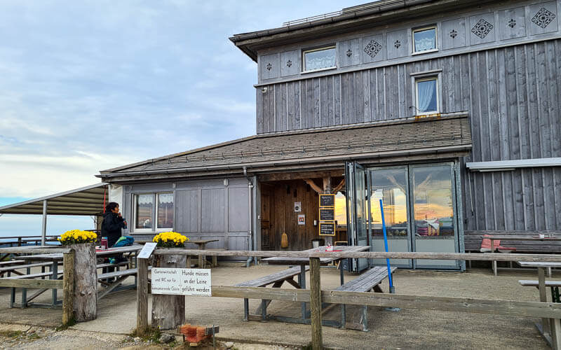
Arriving at Chrüzegg
Restaurant at Chrüzegg. They serve a typical Swiss menu with hot meals, sausage, cheese plates, desserts and drinks. There is indoor and outdoor seating. Toilets inside.
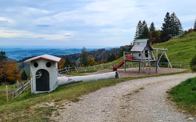
Playground behind the restaurant.
Looping down to Atzmännig
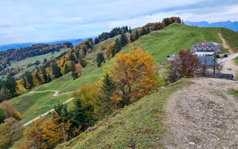
From the restaurant, it’s a short climb up this hill to the cross.
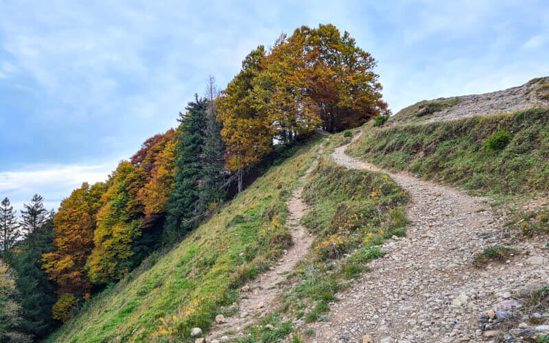
Looking back at the restaurant as you climb.
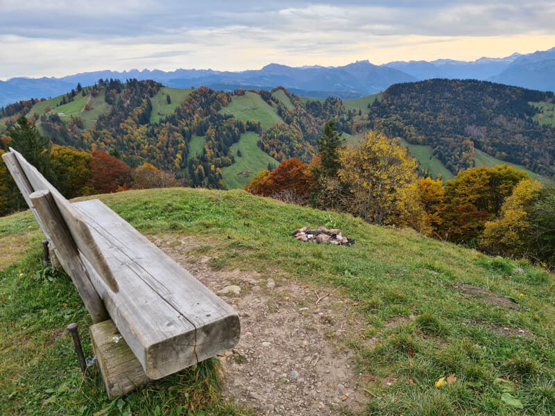
At the top of this little hill, you’ll find a bench with a fab view.
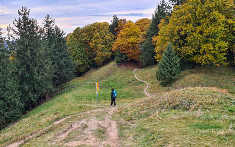
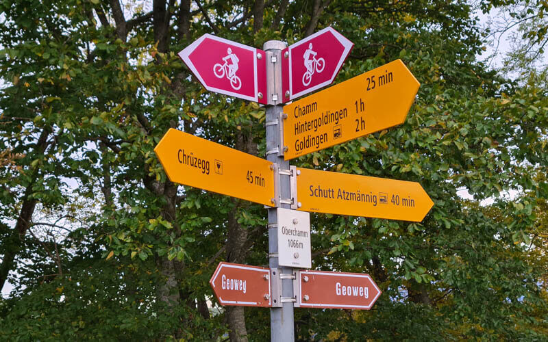
Walk down the other side of this little hill. At this trail sign, take the left fork to Schutt Atzmännig.
A steep slippery bit in the forest, then you spill onto a grassy ridge.

So pretty around sunset, about 17:00 in mid October.
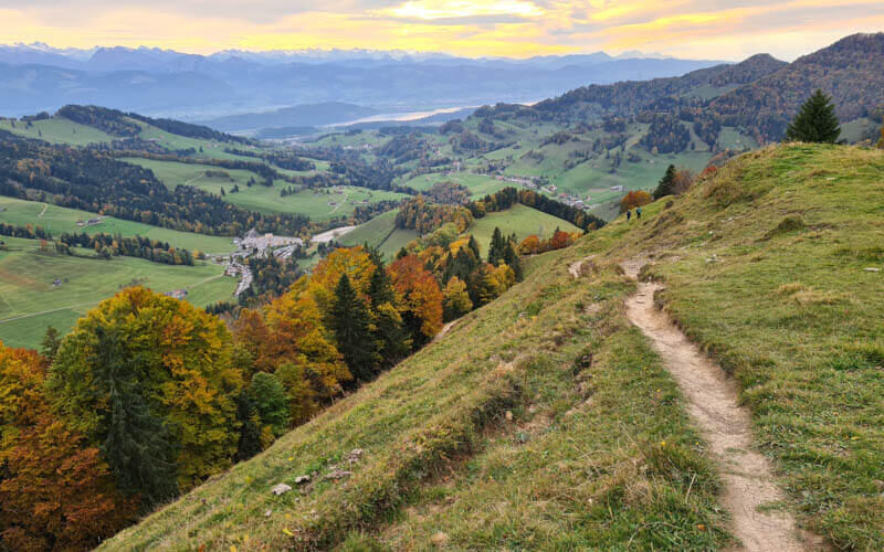
A couple times the path seemed to continue straight down the grassy hill. But we later realized there was a proper dirt path that circled around. Dealer’s choice.

Continue following trail signs to Schutt Atzmännig.
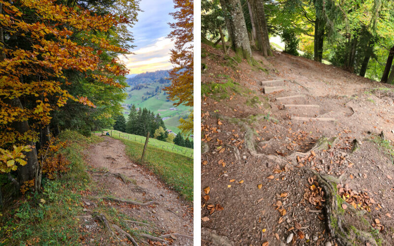
Dipping in and out of the forest, lots of tree roots and some stairs.
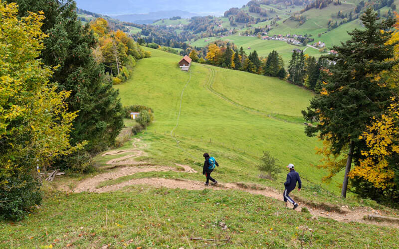
Some switchbacks.
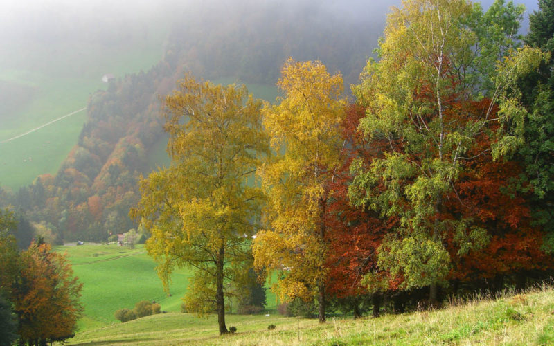
Even nice on a foggy day.
Last steps.
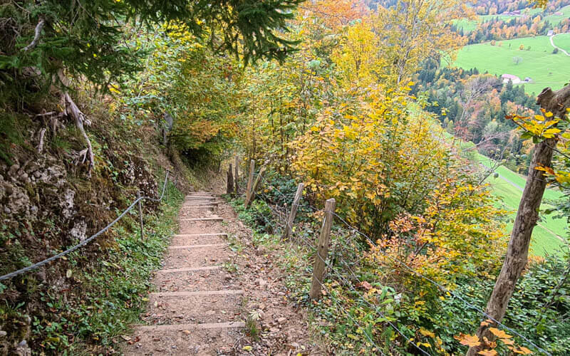
Last descent into the valley, where you join a paved road (low traffic) that leads you back to the Atzmännig parking lot.
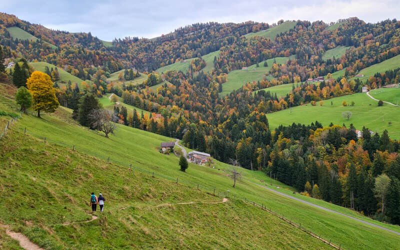
I hope you love this trail as much as we did!