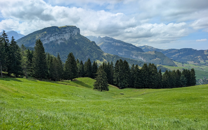
This quiet trail traverses high alpine meadows with spectacular views of the Alpstein mountain range near Appenzell.
The views get increasingly dramatic as you get closer to the jagged peaks and ascend steeply over the Bogartenlücke saddle.
On the other side, the trail changes to an easy stroll through Rheintaler Sämtis pastures, leading to the peaceful Sämtisersee lake.
The hike ends at the Ruhesitz guesthouse, where you can stop for a hearty lunch before renting mountain scooters for a fun ride down the mountain.
While the Alpstein region has become more popular in recent years, Alp Sigel remains relatively unknown and more affordable, a nice alternative to busier, pricey mountains elsewhere in Switzerland.
Keep reading for directions, trail map, and practical tips for planning this hike.
Quick Info
| Region | Appenzell region • Eastern Switzerland |
| Location: | Alp Sigel cable car in Brülisau |
| By car: | Parking at Brülisau cable car – Dorf 22, 9058 Rüte From Zürich 1h20, Chur 1h10 |
| By public transport: | Brülisau, Kastenbahn bus stop From Zürich 2h06, Chur 2h30 |
| Trail: | 4h • ⬇️ trail map |
| Distance: | 11.5 km |
| Difficulty: | difficult • +453m -797m |
| Terrain: | T2 • mountain trail with uneven rocky terrain |
| Elevation: | highest point 1710m |
| Open: | June to October |
| Cost 2026: | cable car one way CHF 18 optional scooter rental CHF 16 |
| Services: | restaurant at end, a few alp huts with refreshments along the way |
| Where to stay: | Hotel Appenzell (3*) • Hotel Säntis (4*) • Gasthaus Rössli Brülisau (budget) |
| More info: | Alp Sigel • Appenzell Region • region webcam • Brülisau weather |
Gallery
These Alp Sigel pics are from the third week of August.
Region overview
Alp Sigel is a mountain in the middle of the Appenzell mountains, as shown in this map.
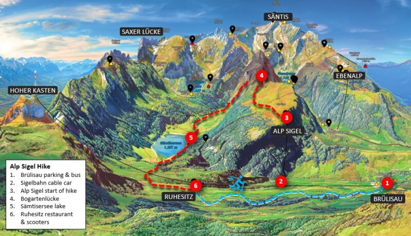
It’s close to all the other Appenzell mountain areas like Hoher Kasten, Ebenalp, Kronberg, and Säntis. See our Appenzell Guide for our favorite hikes in this region.
Trail Map
This hike starts at the top of the Alp Sigel cable car.
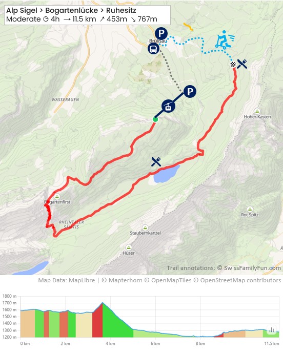
See trail map on SchweizMobil • Komoot
From Alp Sigel, the trail traverse the mountain to the Bogartenlücke. Then descends to the Sämtisersee lake.
This trail ends at the Ruhsitz mountain restaurant, where you can rent a scooter to ride the last 3 km back to Brülisau. Or hike down if you prefer.
Our walking time was 3h45. Total time on trail with breaks 6h.
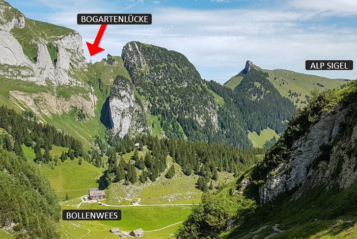
This pic gives a little perspective of where you are hiking.
Shorter
From Alp Sigel, there are two trails that lead directly down to the Sämtisersee lake, skipping the Bogartenlücke. This would reduce your hiking time by an hour or more.
Trail conditions
The first half of the trail includes some rugged terrain, particularly the switchbacks up and over the Bogartenlücke pass. Important to have sturdy hiking shoes with good tread.
No exposed sections, but a few areas do have steep slopes to one side.
How to get there
This trail is located in the Appenzell region in eastern Switzerland. You use the Sigelbahn cable car in Brülisau to reach the trail.

By public transport
Take a train to Appenzell, then bus to Brülisau, Kastenbahn. Then walk about 15 mins to the Sigelbahn cable car.
Check timetable Appenzell > Brülisau, Kastenbahn. Travel time 13 mins.
By car
We suggest parking at the Brülisau cable car (Dorf 22, 9058 Rüte), since you’ll end the day here with the mountain scooter ride. From that parking, it’s about a 15 min walk to the Sigelbahn cable car.
Or you can park at the Alp Sigel cable car parking lot. The last part of the road to the cable car is one lane, so drive carefully.
Costs
You’ll need a one-way ticket on the Sigelbahn cable car. In 2026, this cost CHF 18/adult.
No discount with travel passes or cards, also not included in the Appenzell or Oskar holiday guest cards.
If you want to ride the mountain scooter at the end, this costs CHF 16/person, pay fee at Alpruh restaurant (cash or card).
Planning your day
When to go
Alp Sigel is not too high elevation, so often ready for hiking by late May. But check trail conditions as any snow or ice would make the switchbacks over Bogartenlücke too dangerous.
This area is lovely in fall, with the trails usually open through October.
Where to eat
No services on Alp Sigel or near the cable car. After you descend to the alpine valley, there are a few mountain restaurant options. I’ve listed them in the order you reach them on the hike.
- Alp honesty stop (45min) – right before you start the climb to Bogartenlücke, you’ll pass an alp hut that has a cooler with drinks. Pay with cash.
- Alp Rheintaler Sämtis (2h) small dairy hut serving drinks and cheese, no full meals. Cash only. They have a pit toilet.
- Plattenbödeli (2h45) the restaurant at this mountain inn is open all day, serving typical Swiss dishes. It’s a about a 10 min detour off our trail. After the restaurant, make sure to follow signs to Alp Soll to continue the trail described in this post. www.plattenboedeli.ch
- Alp Soll (3h30) – small alp dairy where you can buy their cheese and other dairy products. They also offer overnight stays. www.alpsoll.ch
- Berggasthaus Ruhesitz (4h) – Your hike ends at this restaurant, where we suggest you have lunch. Typical Swiss menu and a few regional specialities. Nice ice cream sundaes. You rent the mountain scooters here. www.ruhesitz.ch
Extra credit: After you finish the steep descent from Bogartenlücke, you can detour to Berggasthaus Bollenwees (30 mins, 172m up) for the best Rösti in the alps plus a fantastic view of the Fälensee lake. It’s a popular stop so you may have to wait awhile.
Picnic: There is a grill spot near the Sämtisersee lake with a fire pit. But check the current fire restrictions. If it’s a hot dry summer, there is often a fire ban.
What to wear & bring
No water on the trail. I would bring 2L water/person and food to sustain you through the hike.
This mountain train is best done with sturdy hiking shoes with good tread. Hiking sticks are very helpful for the up and downhill switchbacks which have a lot of loose rock.
Make sure to check the weather and dress appropriately. Bring a swimsuit if you want to dip in the lake.
Where to stay
If you are exploring the Appenzell region, we think it best to base yourself near the Appenzell train station, which has convenient public transport connections to the various mountain areas.
Near the Appenzell train station, we love Neuhof Gäste & Schokohaus, which has an excellent breakfast buffet. In the center of the village, we suggest Hotel Appenzell or Hotel Adler Appenzell, both traditional Swiss hotels with country charm. For self check-in, Alte Metzg – Boutique Pension is still close to the village center.
If you want to stay on the mountain, our top pick would be Bollenwees, which would be a half-way.

Photo story of trail
These pictures are from our hike in late August 2026.
Riding Alp Sigel cable car
Although there is parking next the Alp Sigel cable car, we parked at the nearby Brülisau cable car, since we will end there with the mountain scooters at the end.
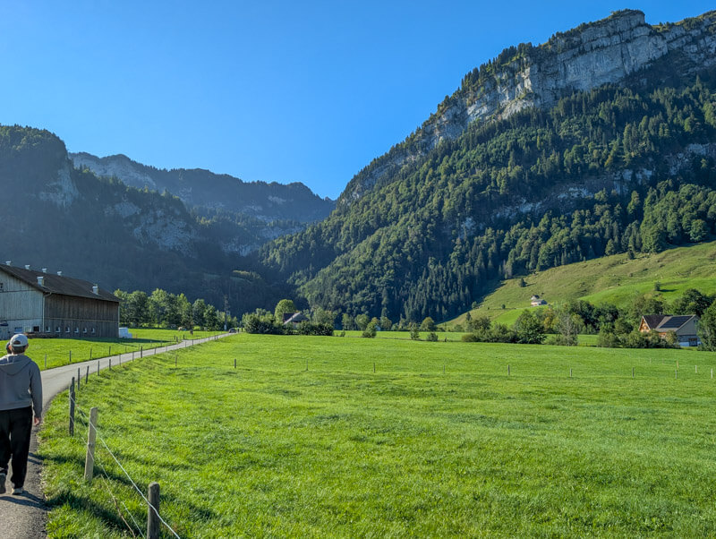
From the Brülisau parking, it’s about a 15 min walk on this road to the Alp Sigel cable car.
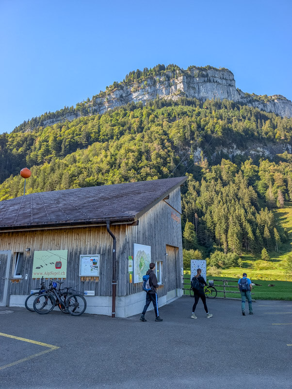
Here’s the cable car station. You buy tickets at a machine using a credit card. The cabin fits 6 people.
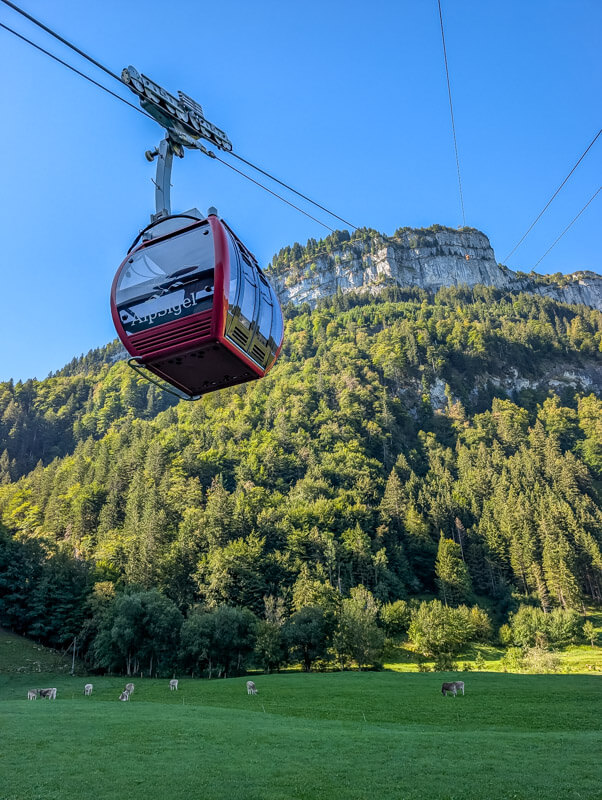
You get a nice view of the Appenzell region as you ride up.

Starting the hike
No services at the top, no cafe, no WC. Better use the toilet at the valley station before coming up.
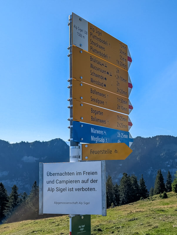
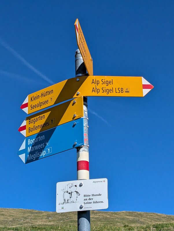
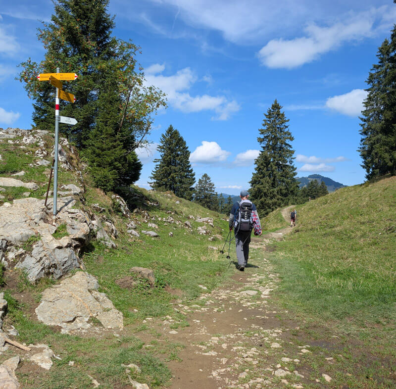
There’s just one trail at the start. Follow yellow signs to Bogarten. You will see blue signs also pointing to Bogarten, but don’t worry – we’re not taking the blue trail (blue trails are more dangerous and exposed).
AdLooking for the best online services?
Explore top-rated platforms and secure your discount before it expires.

You’ll see this map of the area at the cable car station.

Trail starts out nice and easy, wandering over the alpine meadows on this gravel path.
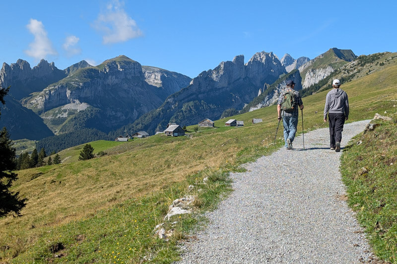
Very quiet up here, not many people on this part.
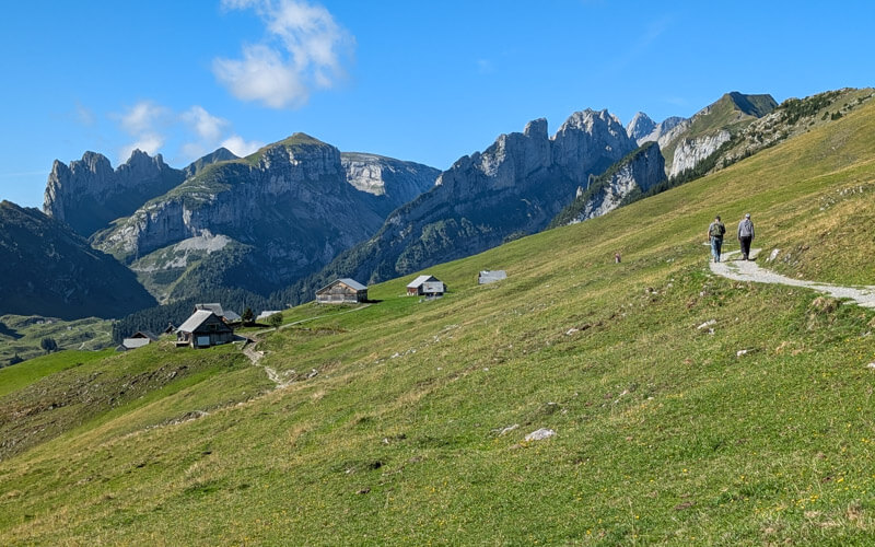
You’ll pass by a few barns and huts. None of these have services.

At this sign, go direction “Zum Hauptwegweiser” (aka “to main trail sign), walking by more buildings.

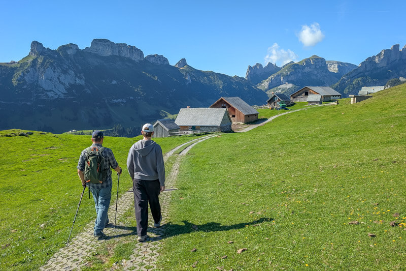
A couple mins later you reach the main sign and fork in the trail. Our trail forks slightly to the right, following signs to Bogarten, traversing the mountain as shown below.
If you want a shorter hike, fork left and descend, following signs to Plattenbödeli, which is near the Sämtisersee lake.
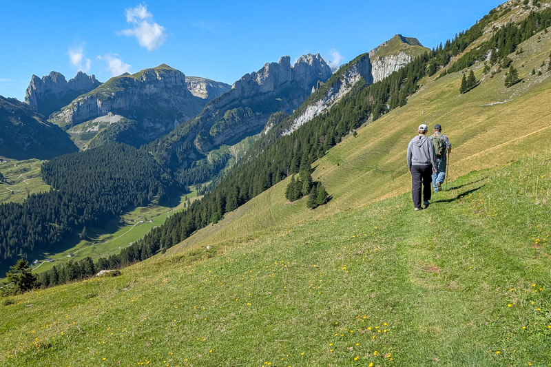
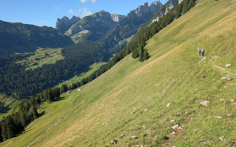
Staying on the trail to Bogartenlücke, the slope gets steeper as you traverse, but not dangerous.
A short bit thru a forest. The path is quite rugged here with some slippery rock surfaces.


Now you turn left and head over to the other side of the mountain.
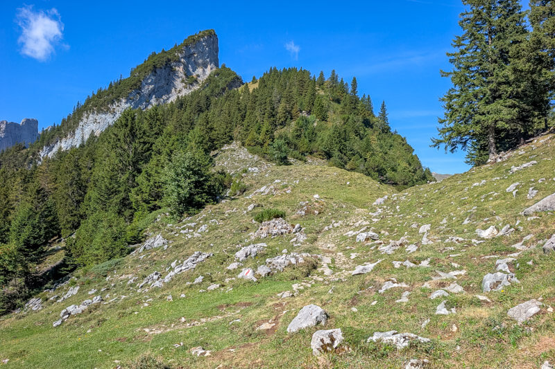
A little easy walking before the climb.
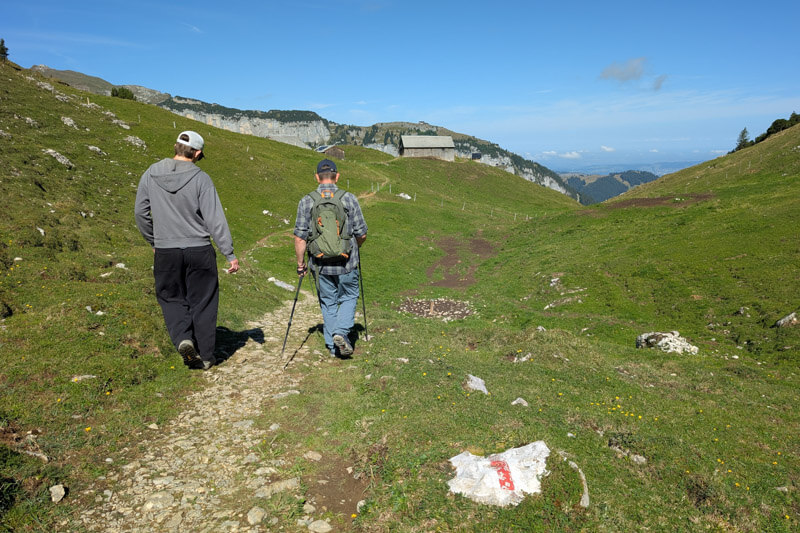
This hut has a cooler with drinks. You can pay with TWINT or cash.

Trail wraps around to the northside of the mountain.
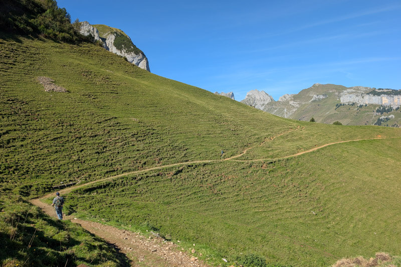
Up to the pass
Now you can see Ebenalp and Schäfler mountain areas across the valley, an interesting perspective.
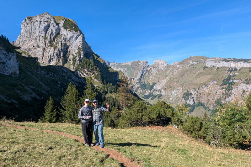
Now the steep climb up to the Bogartenlücke saddle.
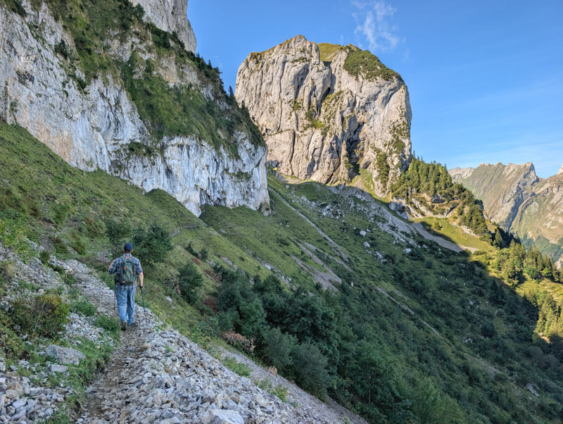
It has lots of switchbacks leading to the gap between these two peaks.
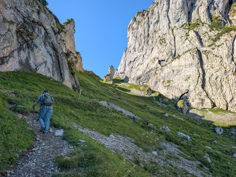
Looking back down towards
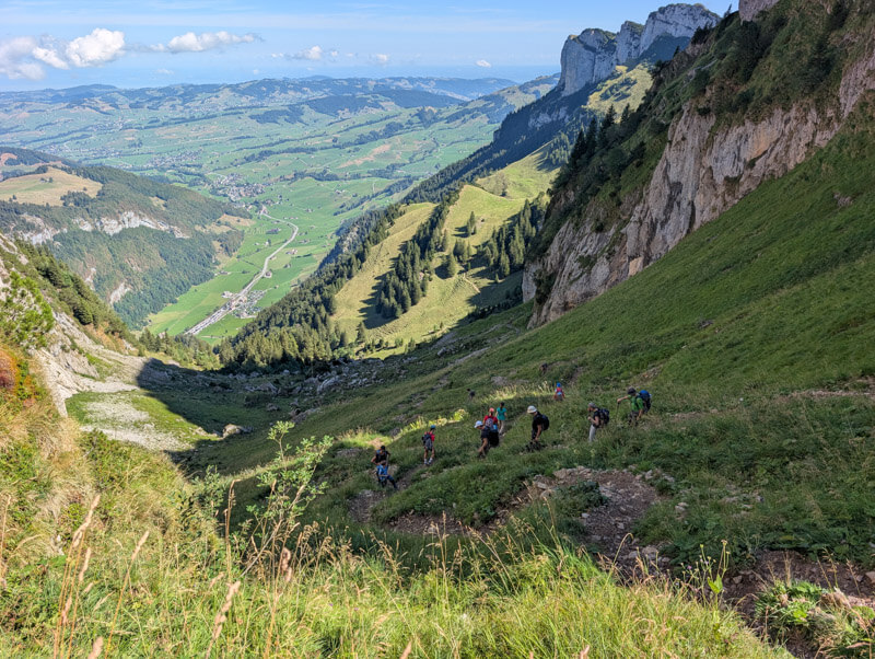
Down to the valley
When you reach Bogartenlücke, you return to a view of the same valley you were looking at earlier. Now your trail descends steeply to the valley.
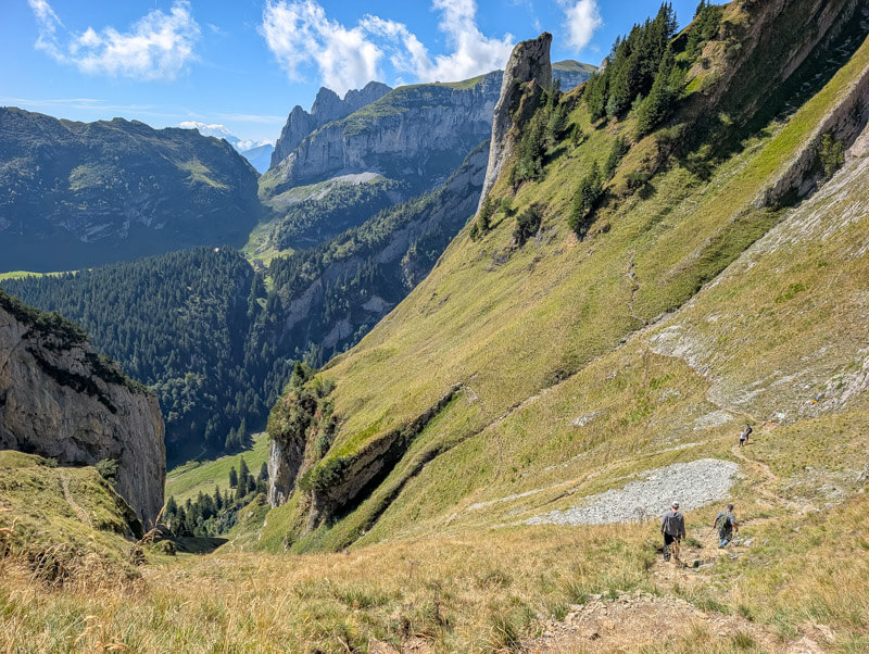
At this sign, the blue trail forks to the right. Stay on the “red white” trail, direction *Rheintaler Sämtis.”

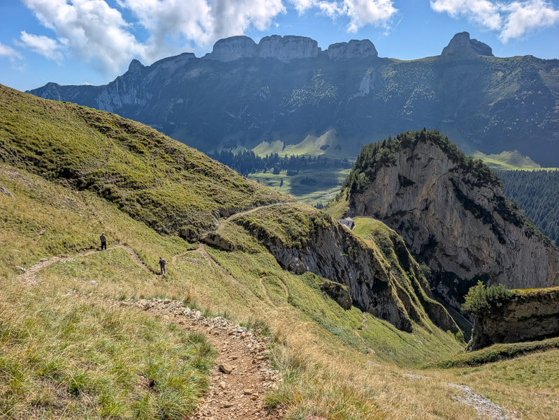
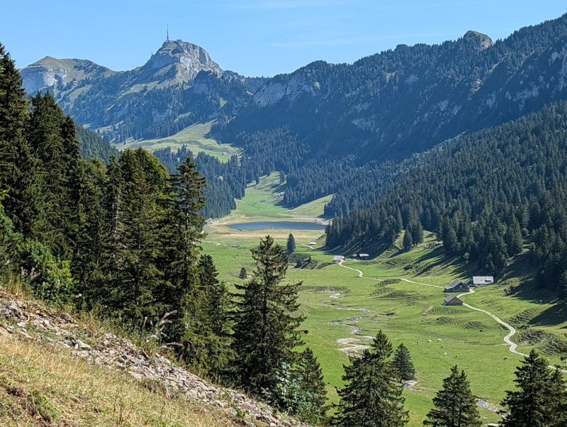
Now you have a great view of the Rheintaler Sämtis valley, with the Sämtisersee lake in the distance. You’ll be walking thru this valley soon.
We were lucky to see these autumn crocus (aka “Herbstzeitlose”) sprinkled along the trail. The other pic is looking back up to Bogarten as we descend.


The descent is a little tedious at times, but not too long.


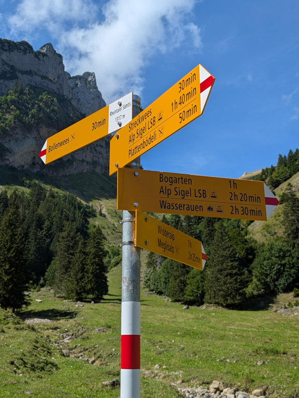
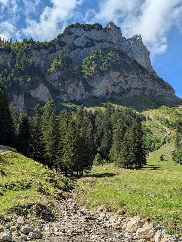
Now follow signs to Streckwees. If you wanted to detour to Bollenwees, you can do that here, about 30 mins up to that mountain restaurant. Then you can hike back the same way and rejoin this trail.
Thru the Rheintaler Sämtis valley
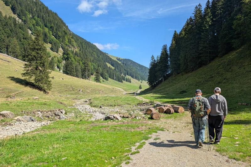
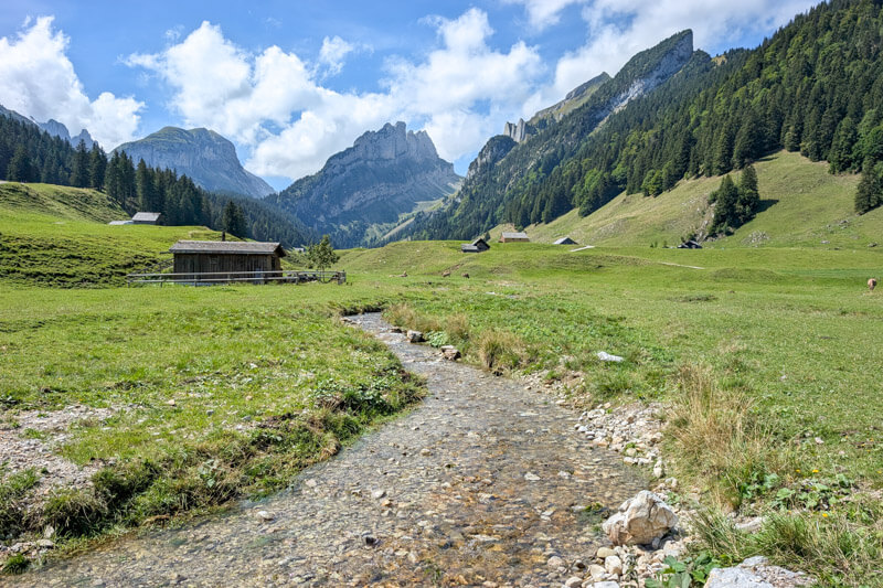
Now it’s super easy for a long while, strolling thru the valley.
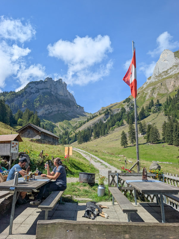
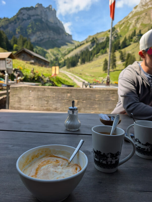
We stopped at this little hut for drinks. They don’t have much food, just cakes and cheese and meat platter. But they offered yogurt, so I had to have it, drizzled with apricot puree, delicious!

Continuing walking to the lake.

Looking back on the trail.
Sämistersee lake
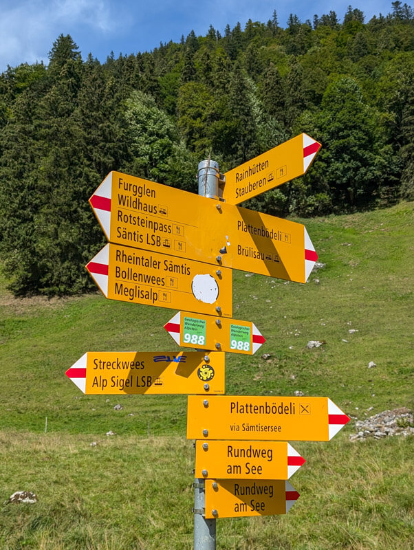
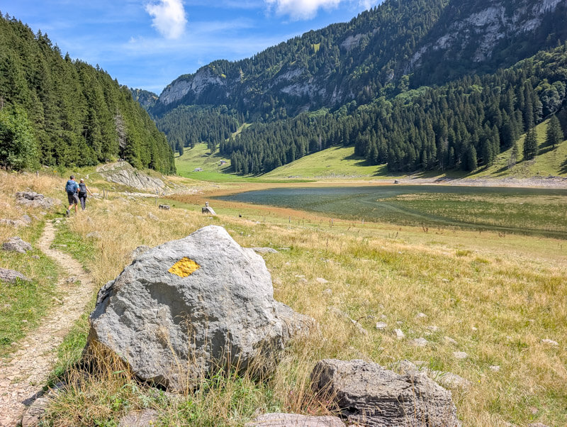
Just before you reach the lake, you’ll see this sign. If you want to eat at Plattenbödeli, stay on the gravel path to the left. To continue our trail, branch right on the dirt footpath that leads closer to the lake.
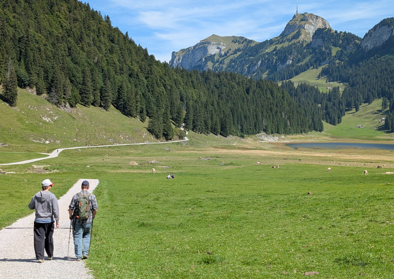
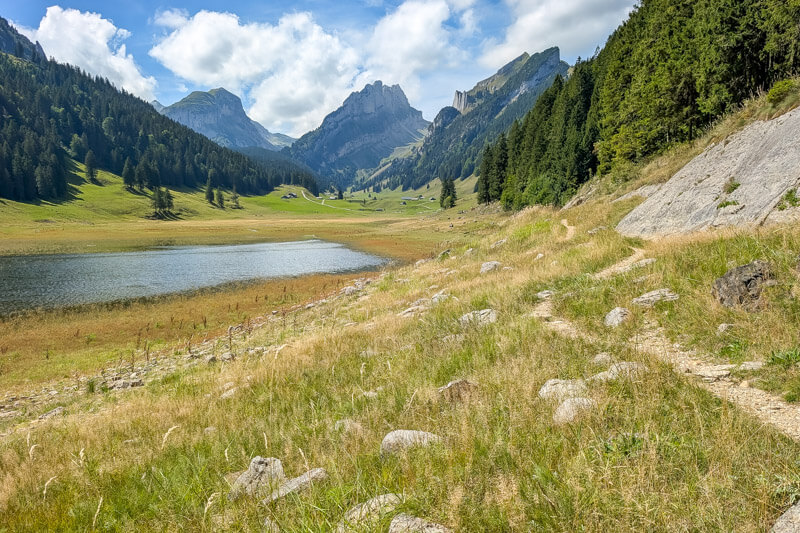
The water level was soooooo low this year but still very pretty.
The lake is a popular spot for picnics. There is one grill spot here, but no fires this summer due to the heat wave.

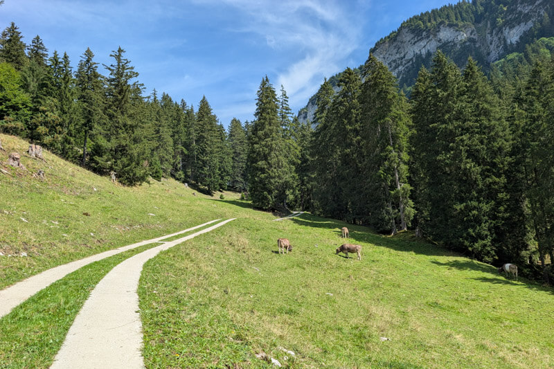
Up to Alp Soll
After the lake, you have to hike up this service to join the main trail.
Looking back on the road.
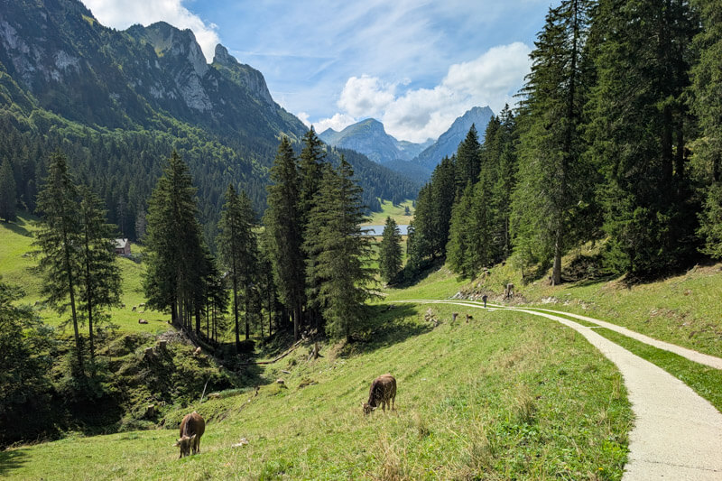
When you reach this sign, fork right off the service road to the footpath. Now follow signs to Ruhsitz, via Alp Soll.

You’ll pass the Alp Soll dairy, where you can buy their cheese. The other pic is looking back at the Alp Soll hut and, on the right, where we started at Alp Sigel.

Near the end of the hike, you pass under the Hoher Kasten peak. You can visit that next time!

Lunch at Ruhesitz guesthouse
Trail ends at here at Gasthaus Ruhesitz. Even on a sunny Sunday, we easily got a table and service was quick. A Swiss yodeling group was having lunch there and sang a few songs, such a treat.

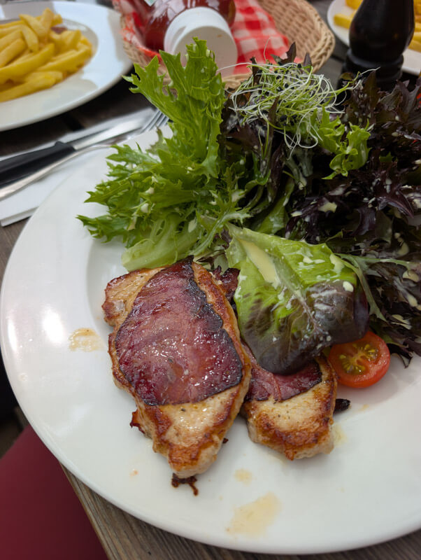
Typical Swiss menu. I tried a regional specialty, with Mostbröckli (sliced air-dried beef) wrapped around thin pork schnitzel. Pretty tasty.

View of Alp Sigel from the restaurant.
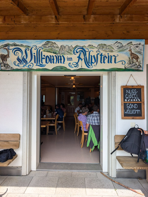
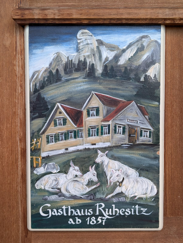
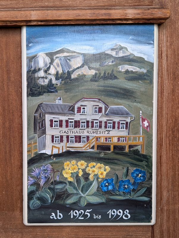
I loved these cute paintings of the guesthouse.
Riding mountain scooters down
You can rent mountain scooters at the Ruhesitz restaurant. You can pay with your food or just pay separately at the bar. The scooters are all the same size. In 2026, it costs CHF 16/person, which includes the helmet.


Last time we went it was a busy Sunday and lots of people were using the scooters. But a truck was just continually bringing the scooters back up the mountain. We didn’t have to wait at all.

If you want to skip the scooters, just follow signs to Brülisau, about one hour back to the parking and bus.
Hope you enjoy this hike!