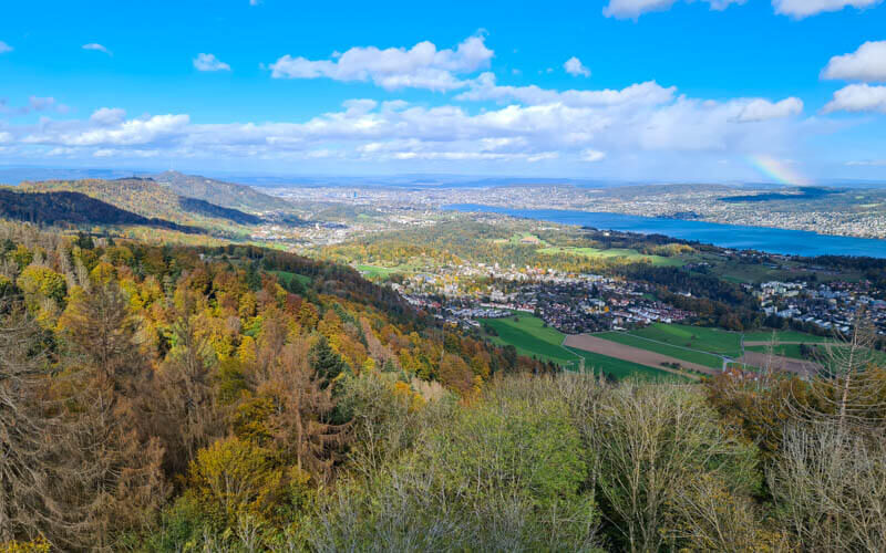
It’s an easy short walk through the forest and along the Albisgrat ridge to reach this observation tower. Then climb 152 steps up this 33 m tall tower to get a beautiful panorama view across Zürich canton, at an elevation of 877m. There is a picnic area at the base of the tower and another in the woods, so you can make a day of it. This path is also possible in winter, even in the snow.
| Location: | Zürich, Eastern Switzerland |
| By car: | Albispass, Albisstrasse, 8135 Langnau am Albis GPS: 47°16’34.6″N 8°31’12.5″E 20 mins from Zürich center |
| By transport: | Bus stop: Langnau a.A., Albispasshöhe 35 mins from Zürich |
| Trail: | 3.2 km out and back, about 1hr |
| Elevation: | 70m up/down, highest point 1944 m |
| Condition: | wide dirt road, possible with all-terrain strollers |
| Difficulty: | easy (1 of 5) |
| Open: | all year, weather dependent |
| Cost: | free |
| Services: | fire pits along trail • restaurant, water fountain and toilet near parking |
| More info: | webcam |
Location
This trail is located south of Zürich, easily accessible by car or bus. No mountain transport required.
Trail Map
This trail starts at the Albispass and continues through the forest until you reach the tower. It’s an easy wide dirt path, possible with all-terrain strollers. There is one picnic area with a fire pit near the entrance to the forest and another picnic area right below the tower.
See trail map on Komoot • SchweizMobil
Longer option: You can continue walking along the ridge to Albishorn, where you’ll find a restaurant with a panorama terrace. It’s 8 km there and back. See trail map.
Getting there
By public transport: Take the S4 train to Langnau Gattikon. Then take bus 240 to Langnau a.A., Albispasshöhe.
By car: Drive to the Albispass (47°16’34.6″N 8°31’12.5″E) and park in the free parking along the main road. There is also a parking lot at Birrwaldstrasse 21, 8135 Langnau am Albis.
Photo story of the trail
The trail starts along the edge of the forest on this wide path.

Looking back down the trail, with Zürich in the distance.

Most of the trail is in the dense forest, particularly nice in fall when the trees change color.
PromotedDon't miss out on today's trending deals!
Join thousands of users enjoying exclusive benefits right now.
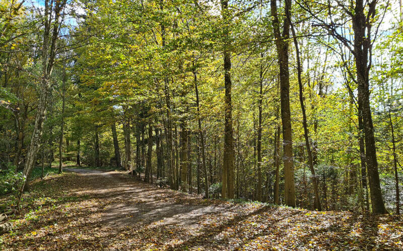
After about 30 mins, you reach the tower. There is a firepit and bench at the base of the tower.
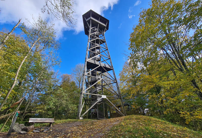
It’s 152 steps to the top, where there is an enclosed observation deck with a roof.

View looking southeast down Zürich lake.
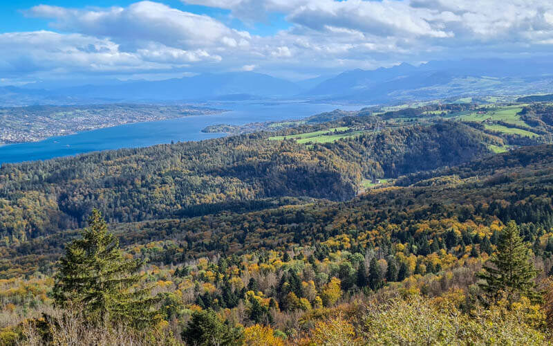
View west towards Zug, with Mt Rigi visible on a clear day.
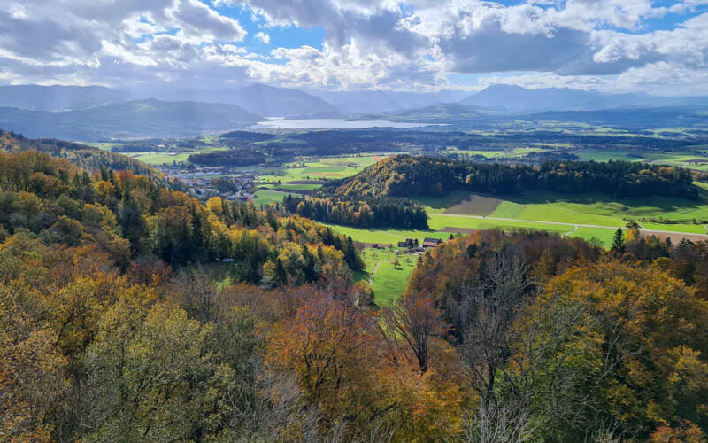
View north toward Zürich city.
After enjoying the view, climb back down and follow the same path back to your starting point.





