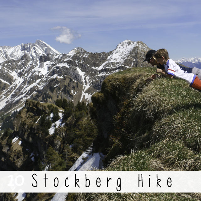
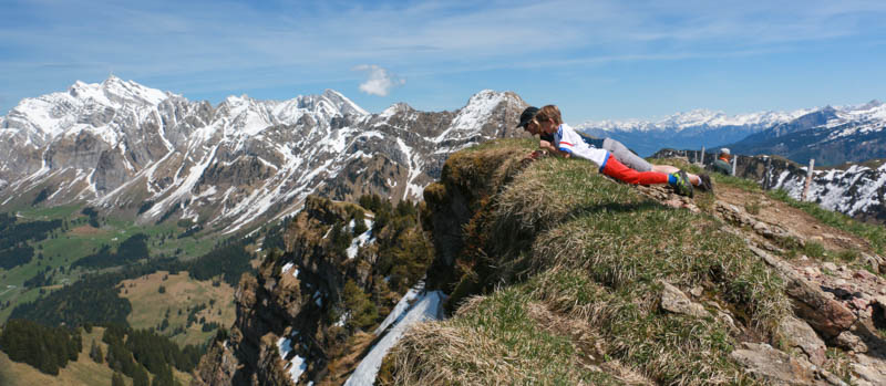
You’ll have to work a little bit to get this view, but it’s worth it! After driving up a private mountain road, it’s a steep but thankfully short hike up to the top of Stockberg, where you are rewarded with a breathtaking 360 degree view of eastern Switzerland. The kids like to lay down on their tummies and peer over the cliff. No strollers here, but kids with hiking experience should be fine. Pick a sunny clear day – the view is everything on this one.
| Location: | Eastern Switzerland |
| Address: | Near Stein, Canton St. Gallen, Switzerland GPS: 47.218939, 9.247850 |
| Car: | 1hr20 from Zurich |
| Train: | not possible |
| Trail: | 1.7 km each way, about 45 mins one way |
| Elevation: | 1762m |
| Condition: | alpine trail, steep and tricky footing in parts, no strollers |
| Skill: | moderate, 300m up/down |
| Open: | hiking best May through October |
| Prices: | small fee for private road |
| Services: | restaurant |
| More info: | none |
Overview
This hike is located in eastern Switzerland near Toggenburg.
To access this hike, you will drive up a private mountain road to Risipass at 1469m. Then you hike on a narrow alpine trail up to Stockberg at 1782m. It took us about 50 mins one way, walking slow with two kids.
Services
There are no picnic areas, but there were a few old fire rings at the top. From Risipass, you can walk on another path about 1 km toward Säntis to a restaurant, Alp Leser (no website). My friends who live nearby really like the restaurant and said we should definitely check it out. There’s no website but I found an advertisement that said early June through September, they are open on weekends. July 1 through August 15, they are also open on weekdays.
Getting There
You cannot access this trail by bus.
By car: Drive toward 9655 Stein in Canton St. Gallen, using the map below.

Just before reaching the town of Stein, you will turn left on Breitenau, and immediately right on Sonnenhalb.
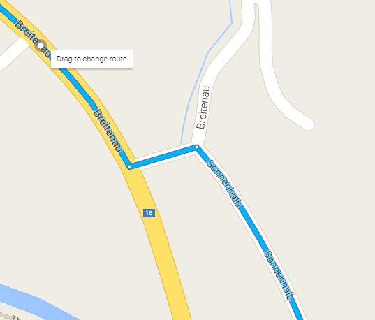
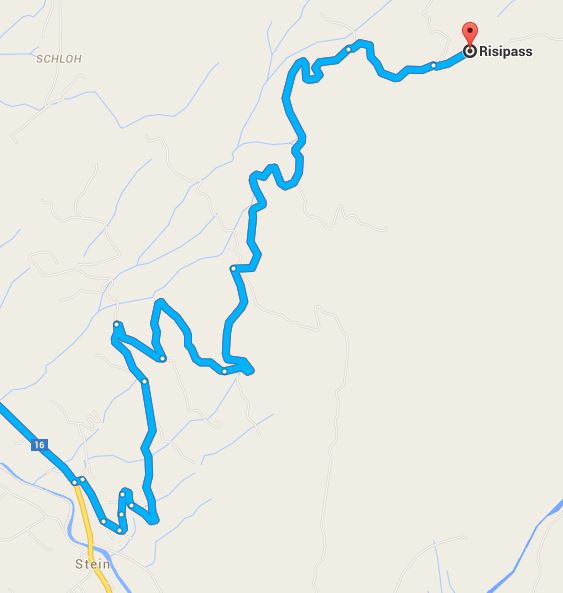
Follow this road all the way up the mountain to Risipass.
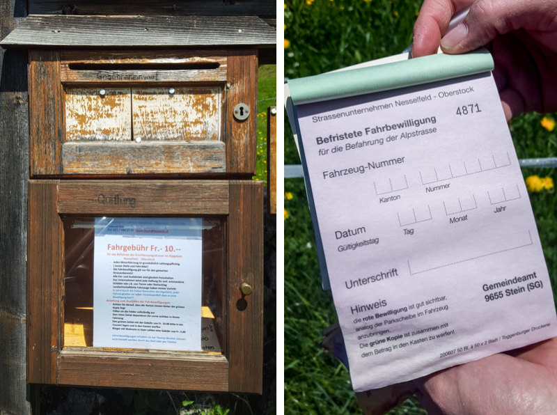
Halfway up this road, you will reach a pay station for the private road. Fill out the form and put one copy in your window, dropping the other copy with 10 CHF in the dropbox.
It is not practical to access this hike by public transport as there is no bus service to Risipass. Of course, you could walk up from the valley but that would take all day.
Trail Details
We parked here on the grass at Risipass (you’ll see a small sign with “Risipass” on it). The road continues up a bit to a couple farms but we’re not sure parking is allowed further up. So best bet to park here.
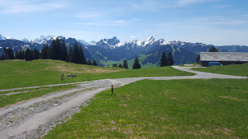
Start by walking across the grass toward the service road.
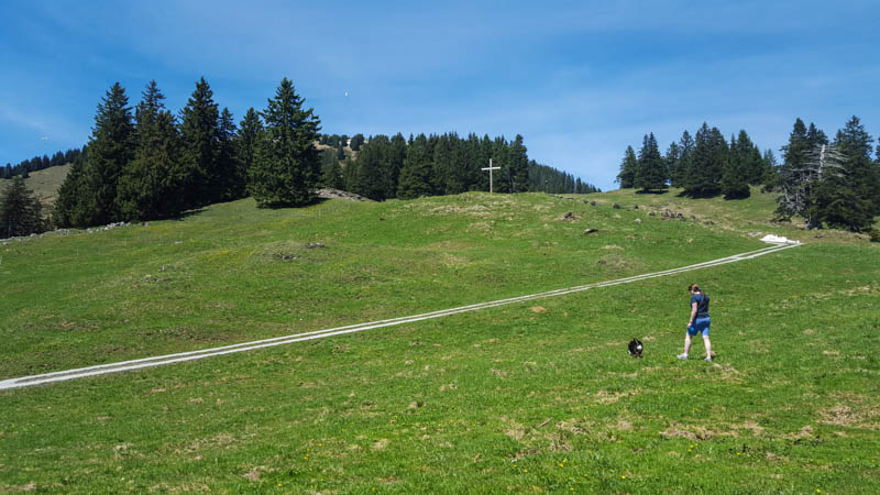
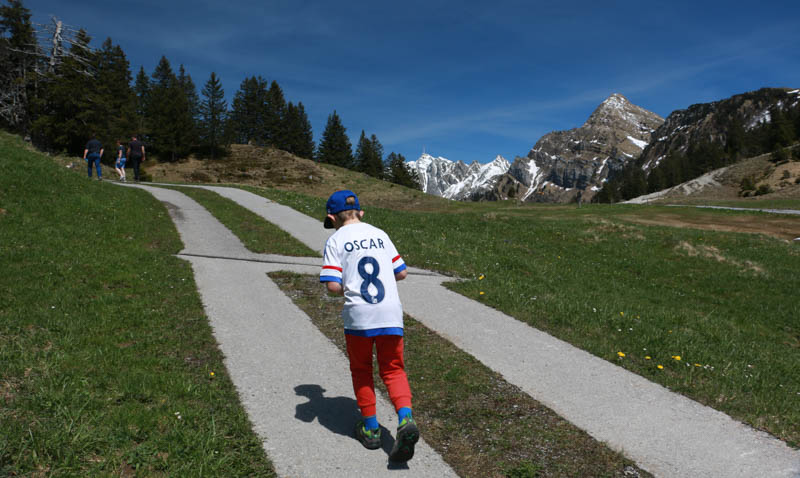
Follow the service road up the mountain for a few minutes.
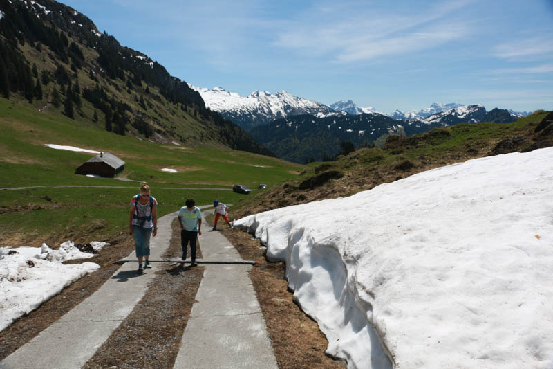
There was still some snow in late May.
The hiking path leaves the service road here. Follow signs to Stockberg.
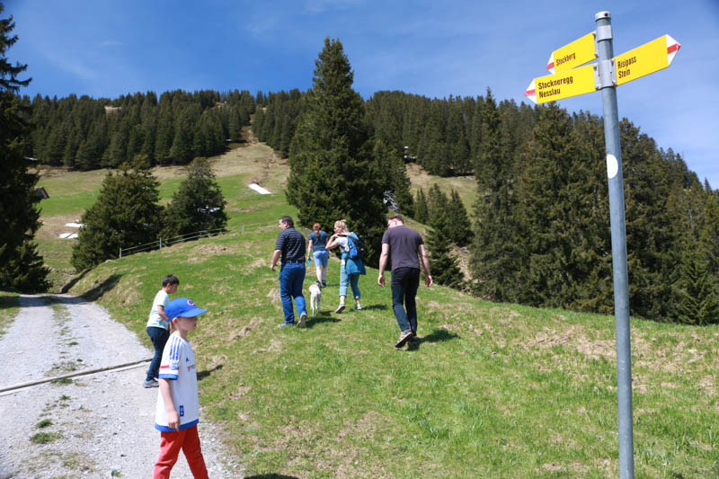
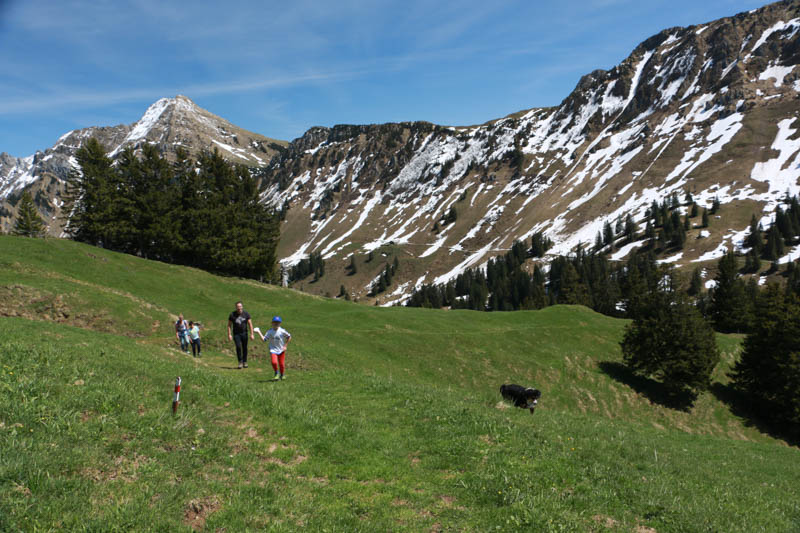
The hiking path cuts through the fields.
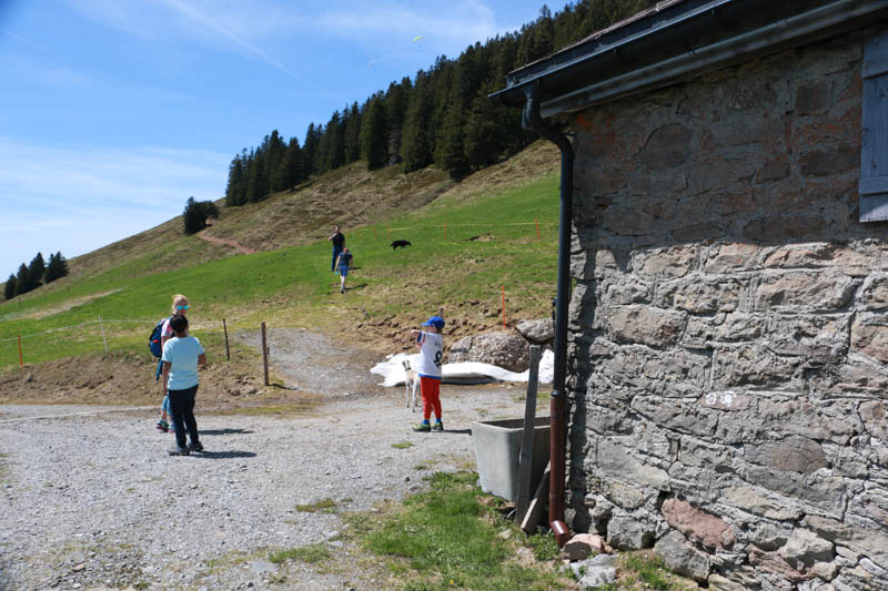
The path passes this farm/cow shed. Walk through the cow gate and continue on the path through the field.
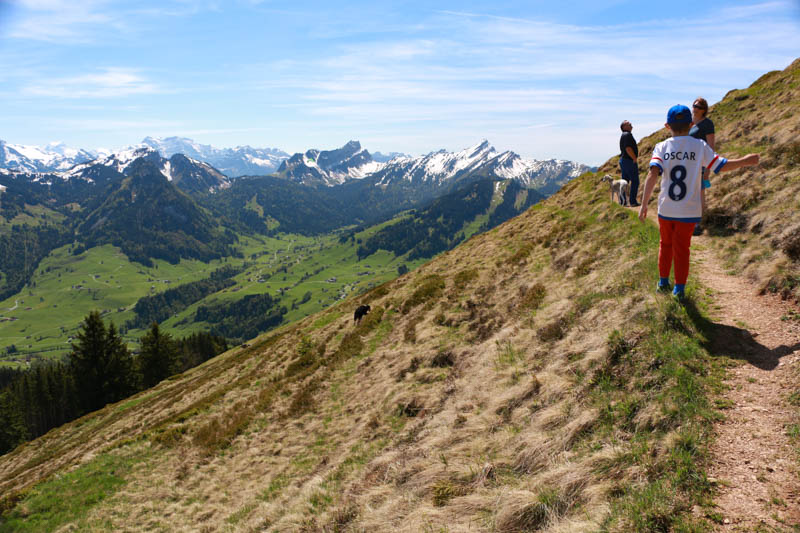
The path cuts across the side of the mountain.
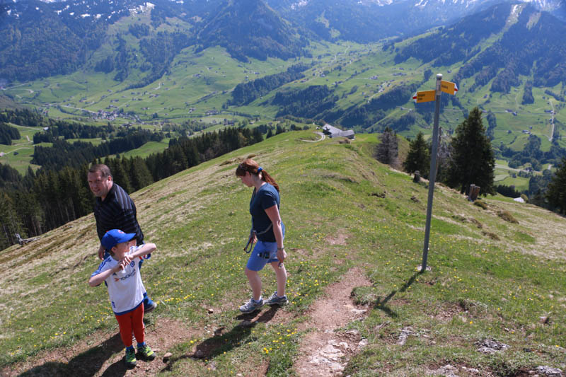
At this sign, you will take a hard right and start the steep climb to the top. In this pic, we are walking back down, so don’t get confused by the direction we are walking. On your way down, you will take a left turn.
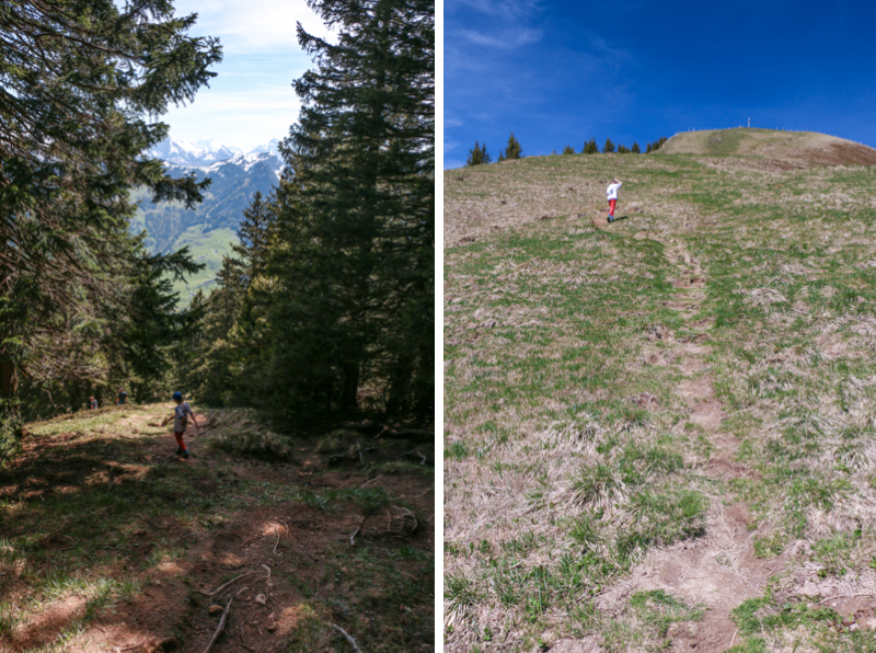
Some pics of the steep part of the trail. It’s a tough climb, but only about 20 minutes.
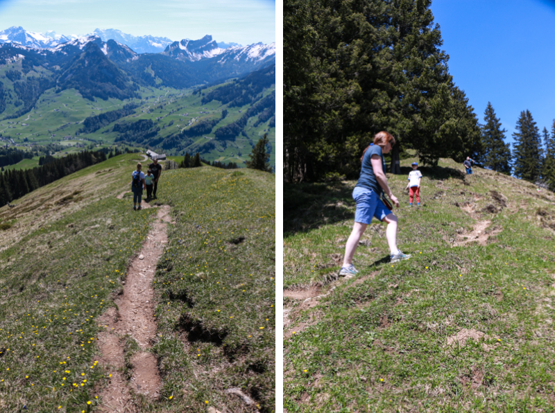
Often you are walking in deep ruts, over tree branches and lumpy earth. I would recommend walking sticks in this section.
View back to our car, down by the structures on the left.
Our friends coming up the trail behind us.
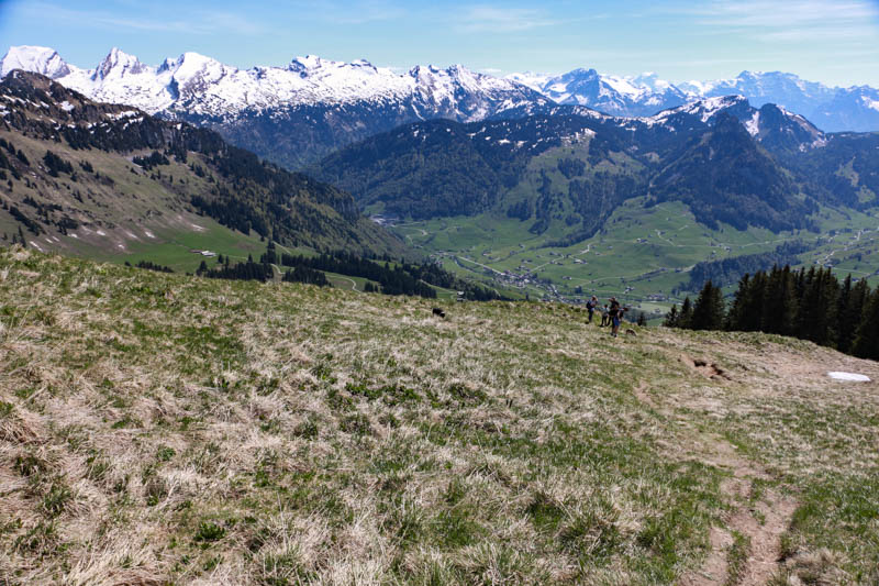
Finally at the top and a well deserved rest with a view.
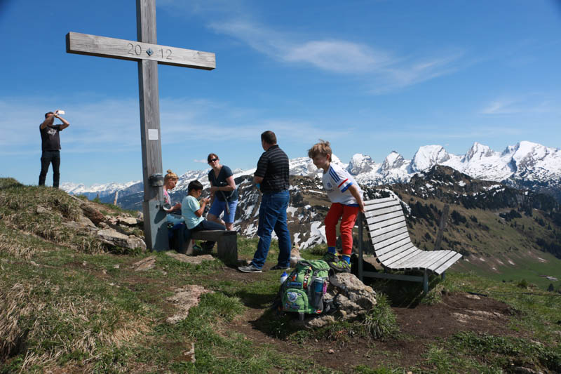
View toward Säntis, the money shot.
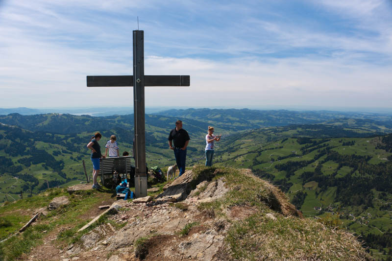
View north toward Zurich. You can see Zurich lake in the distance on the left.
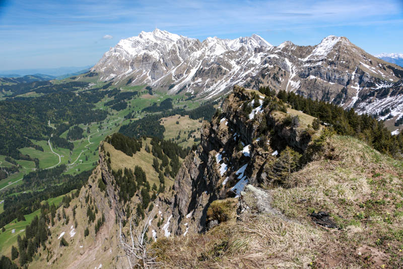
We crawled out on our tummies to peer over the edge and get this fun. Be careful!!!
Now we just have to walk back down.
Don’t forget to Pin this for later…