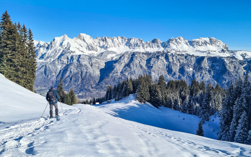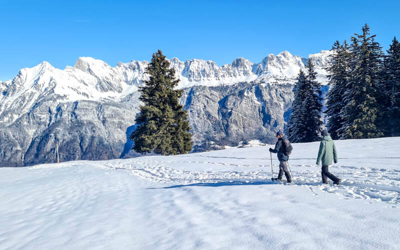
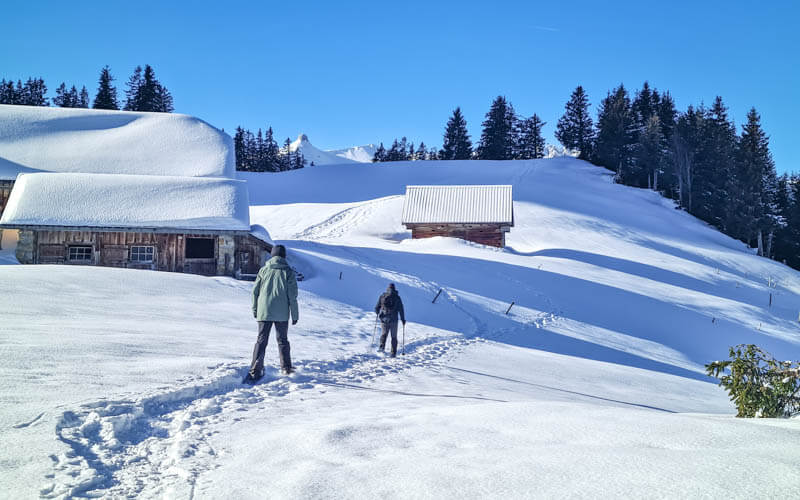
This snowshoe trail is pretty and peaceful, in an mountain area used only by winter hikers and ski tourers, no busy ski lifts. So quiet I even saw a white snow bunny hop past, so cute!
The marked loop starts in the forest and emerges into beautiful snow meadows surrounded by tall mountain peaks. The trail loops through snowy meadows and forests, up and down a few hills.
This trail is short and not very difficult, a good one for curious snowshoe beginners.
Quick Info
| Region | Heidiland, Eastern Switzerland |
| Address: | Schönhalden cable car |
| By car: | Street parking near cable car From Zürich 1hr10 |
| By public transport: | Bus doesn’t run on weekends |
| Trail: | about 90 mins • ⬇️trail map |
| Distance: | 3.6 km loop |
| Difficulty: | moderate • 230m up & down |
| Condition: | marked snowshoe trail |
| Elevation: | 1490 – 1650m |
| Open: | mid Dec to mid March, assuming snow |
| Cost 2025: | Cable car round trip CHF 26. |
| Discounts: | No discounts with travel passes |
| Services: | restaurant at start/end, no services along the trail |
| More info: | Schönhalden website • weather • webcam |
Gallery




Trail map
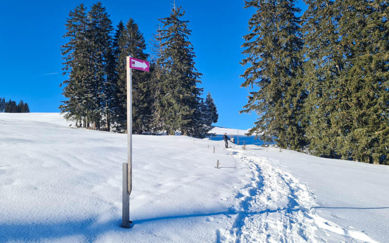
At Schönhalden, there are two snowshoe routes marked with pink poles. Route A – Gampergalt is the shorter, easier loop (Schweiz Mobil Route 705).
See trail map on SwitzerlandMobility • Komoot.
If you want a longer, more difficult trail, try Route B Mädems, which we also like.
How to get there
The trail is at the top of the Schönhalden cable car – Kleinbergstrasse 1752, 8894 Flums
By car: There are parking spots on the street across from the cable car station and in a small lot down the road. Best to arrive early before it fills up.

There are two small parking lots of the Schönhalden hotel down the road a bit at the curve, as shown on the map.
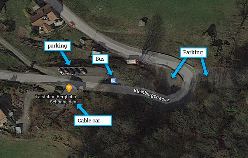
By public transport: The Flumserberg Saxli, Saxlirank bus stop is next to the cable car station. But it doesn’t run on weekends and only infrequently on weekdays. Check schedule on SBB.ch.
The tiny cable car takes up 8 people at a time, so sometimes there can be a wait. Best to go early, perhaps by 9:30am.
Planning your day
Tickets
In 2025, a round trip cable car ticket costs CHF 26, cash or card. No discounts for SBB travel cards.
You can rent snowshoes and hiking sticks on site.
Opening times
The cable car is usually open for winter season from the first week of December through March.
It runs daily from 8.00 to 18:00 (20:00 on weekends). It departs every 30 mins. If you are 4+ people, you can call and it will go immediately. See current operating times.
NOTE: If you want to go down between 14:00-17:00, you need to sign up for specific a return timeslot with the cable car operator.
Services
There’s a restaurant at the top of the cable car, great place to warm up after the hike.
Photo story of trail
1. Riding up the Schönhalden gondola
Here is the Schönhalden cable car station. There is no attendant. You must call the operator using the provided phone and tell them you are ready to go. Get in the gondola, close the door and wait. When you get to the top, you pay for your tickets.

It has two cars, each fitting 4 people. It normally runs every 30 minutes, but will run on demand if you have at least four people.


At the top of the gondola, you arrive at the Schönhalden hotel & restaurant. There are toilets through the door directly opposite of the gondola.
The hotel has a small patio where they were serving coffee and takeaway food like sausages and sandwiches.

2. Starting the snowshoe trail
At the backside of the hotel, you’ll see the snowshoe trail signs. Turn right to follow Route A.

The trail starts quite easy and flat.
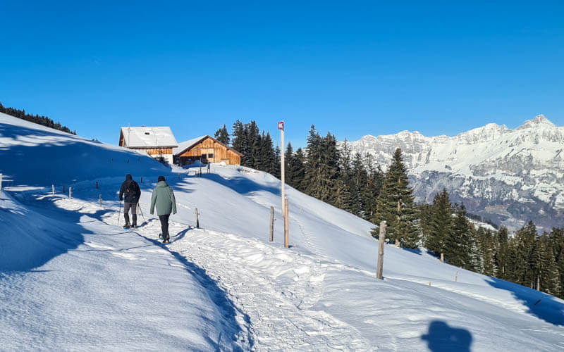
Traversing the alp in the sunshine.
Looking back on the trail.
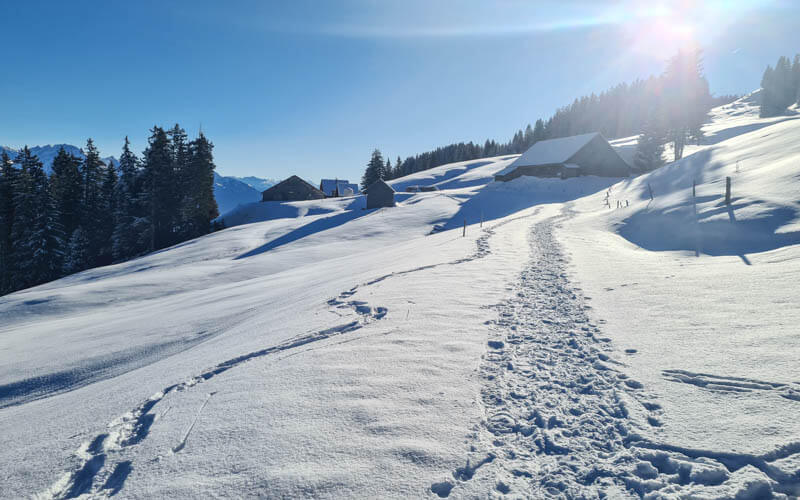
3. Heading uphill
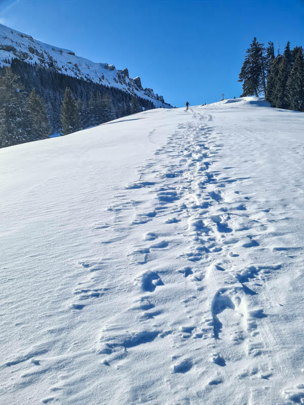
Now hiking uphill. It’s not a long stretch, only about 15 mins. But it can feel tiring.
Looking back.


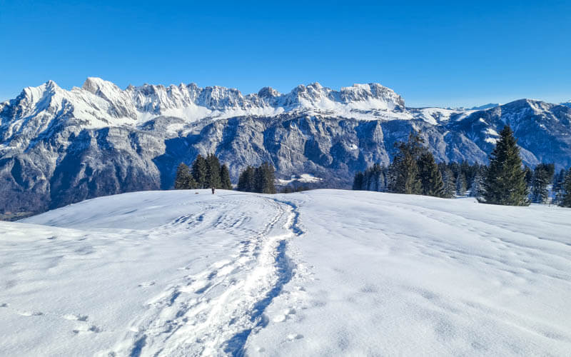
4. Shady forest
Now we leave the sunshine for awhile and loop back through a forest. It can get quite chilly in this part.
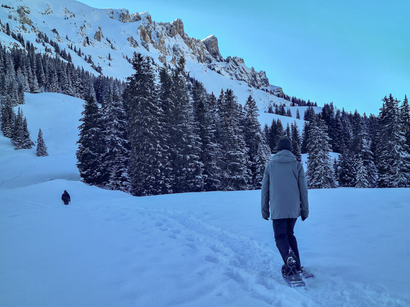

Now about 15 mins through the forest.

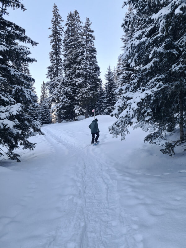
Keep an eye out for the pink snowshoe poles and trail signs.
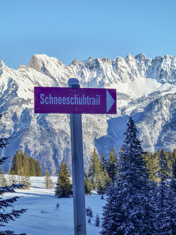

Emerging into the sun for a bit.
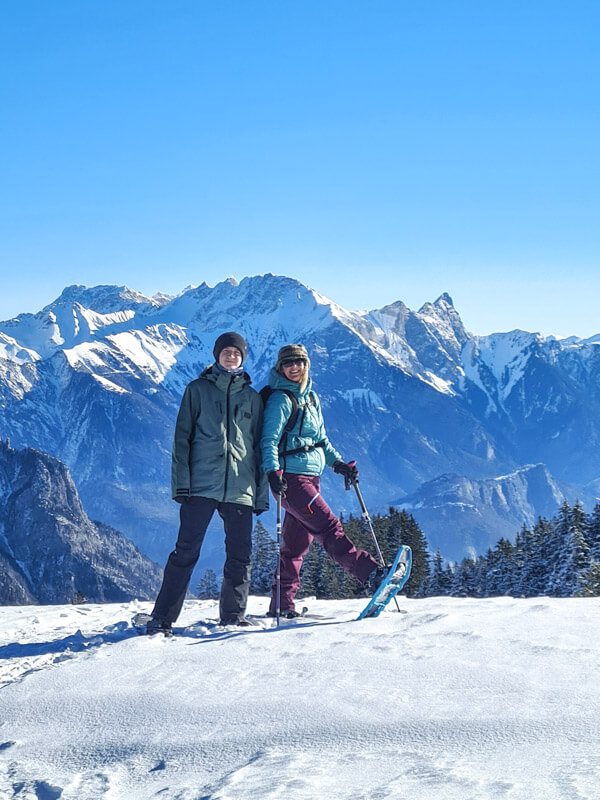
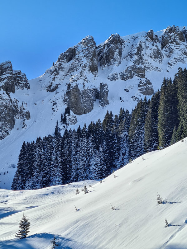
Down into the forest again.
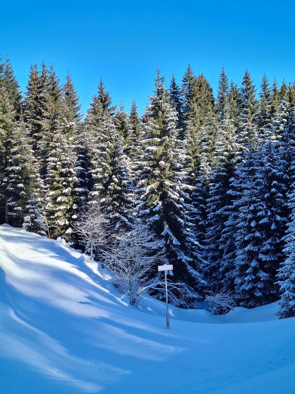
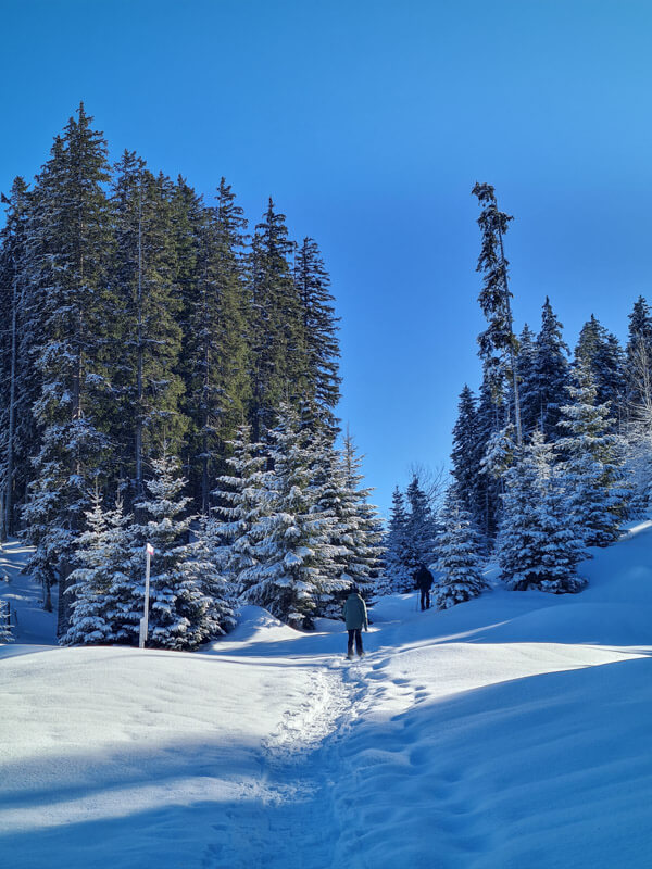
One last uphill.

5. Downhill finish
Now it’s downhill the rest of the way back to the cable car.

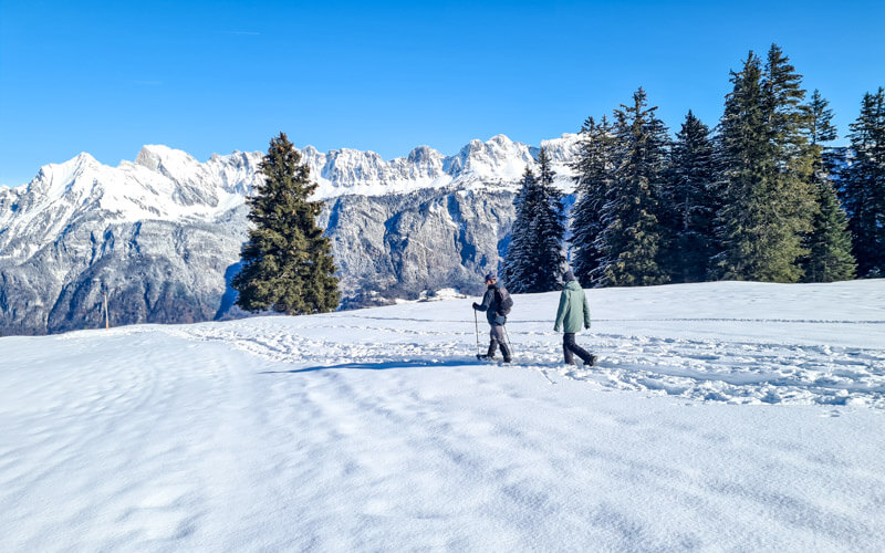
I hope you enjoy it! See more Swiss snowshoe trails we recommend.