The seven Churfirsten peaks are a beloved challenge for many mountain hikers, some trying to summit all seven in one day (not advised!). My good friend climbed all of them individually over a summer and I joined her on one of the easier ones, Schibenstoll, which still is a bit scary with some steep scrambling on a couple bits. But the satisfaction of reaching the top and the epic views down to the blue Walensee lake below were well worth the effort.
This hike is only for experienced hikers with steady footing, using extreme caution. Most of the hike is regular hiking, but to reach the summit, you have to navigate some steep switchbacks that could be dangerous if you slip. I would not take my children on this hike.
| Location: | Toggenburg, Eastern Switzerland |
| Address: | Alt St Johann – Sellamatt gondola: Ochsenwis 418, 9656 Alt St. Johann |
| Car: | Parking at gondola: Ochsenwis 418, 9656 Alt St. Johann 1hr30 from Zurich |
| Train: | Bus stop: Haute Nendaz, Télécabine 1hr50 from Zurich HB |
| Trail: | 9 km there and back, about 4hr30 |
| Condition: | narrow dirt mountain trail, some steep drop offs |
| Skill: | challenging, only experienced hikers, no small children |
| Open: | late June to October |
| Cost 2021: | CHF 24/adult SBB GA and Half-fare discounts apply |
| More info: | chaeserrugg.ch • webcam |
Overview
This trail is located in the Toggenburg area in eastern Switzerland near Liechtenstein.
Here is the summer map for the Chäserrugg area. The trail starts at the top of the Alt St Johann-Sellamatt gondola, though you could skip the gondola and hike up instead.
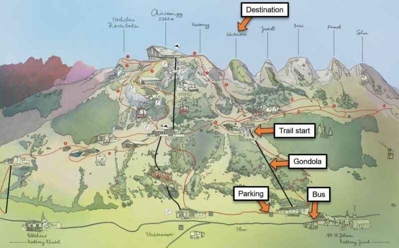
This is an “out and back” trail, hiking up to the cliff overlook and back the way you came. The last km to the top is a bit tricky, with a very narrow trail under some cliff walls. For a short section, there is a drop off on the side and you have to scramble a bit with your hands – I felt a little nervous on this part. But after that, it smooths out and you walk up a field to the cliff’s edge and peer over. It’s not excessively dangerous, but I wouldn’t feel comfortable taking my kids on this trail.
See hike on Komoot • SchweizMobil • AllTrails • OutdoorActive
Safer option: You can climb up (or ride the cable car up) the neighboring peak Chäserrugg. See those trails here.
Getting There
By car: Drive to Alt Sankt Johann and follow signs to the Sellamattbahn. It does not have an address but the parking is on the road Ochsenwis 9656 Alt St. Johann (GPS: 47°11’37.3″N 9°17’12.0″E). There is free parking along the road leading to the gondola and a large parking lot a bit past the lift.
By public transport: Take a train to Wattwil or Nesslau Neu St Johann, then a bus to Alt Sankt Johann, Dorf. The bus stop is a short 3 min walk from the gondola station; you can see the gondola from the bus stop. Check bus schedule.
Tickets & Operating Times
The trail starts at the top of the Alt St Johann – Sellamatt gondola. In 2021, a return ticket on this gondola costs CHF 24/adult. SBB GA and Half-fare get 50% discount. Children with a Junior card ride free.
This gondola runs daily 08.30 – 17.00 from late May to late October. It may close in bad weather. Check current prices and operating times on the Chaeserrugg website.
Impressions from the trail
Here is the restaurant at the top of the gondola. There are no services on the trail. So grab some food and drinks if necessary and use the WC before starting the trail.

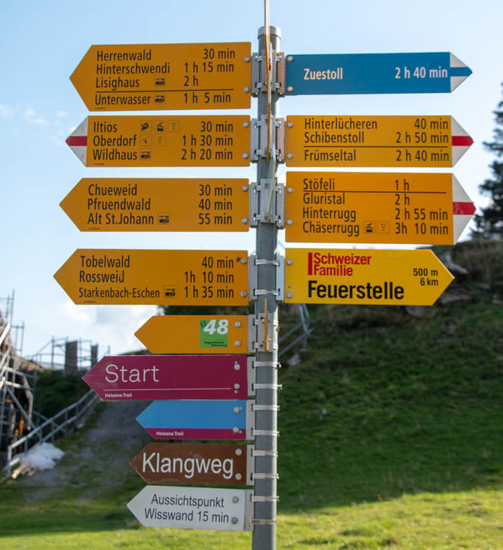
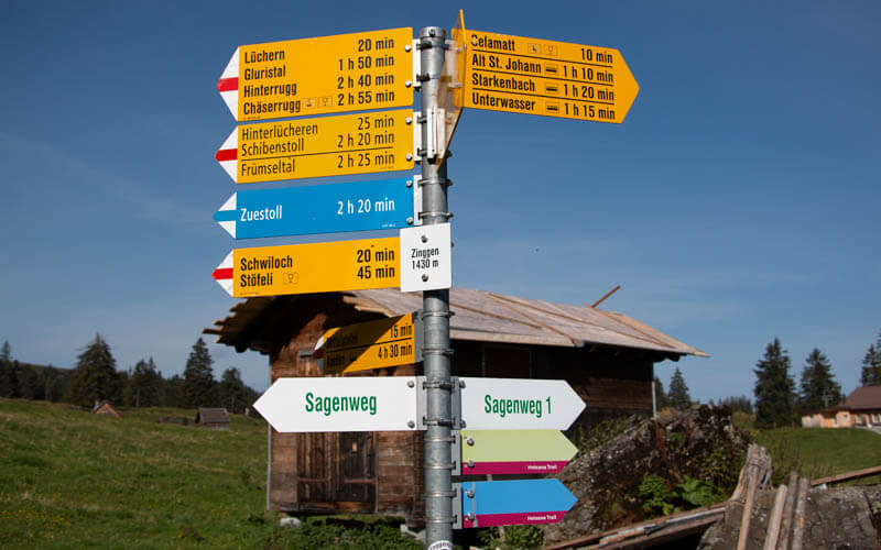
Follow trail signs to Schibenstoll as shown here.
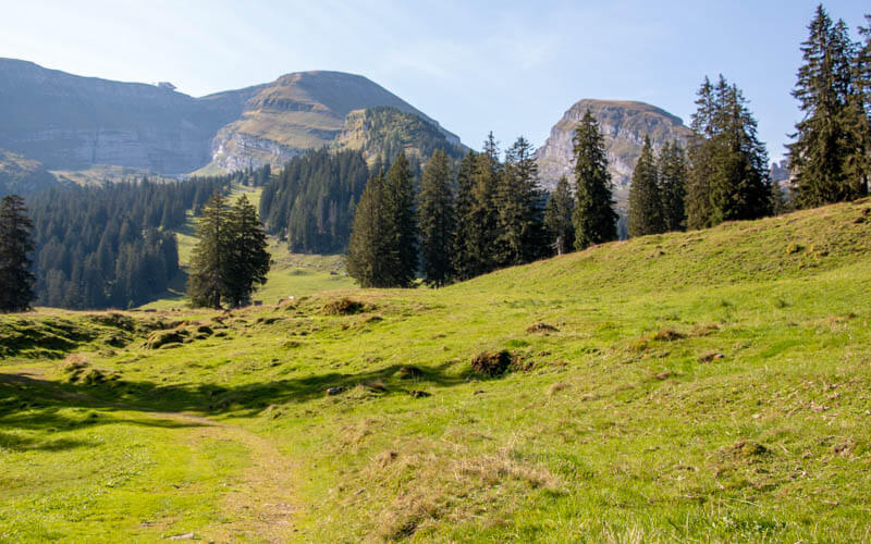
You’ll head out on this grassy path toward the peaks.
Views behind you toward Säntis – see the tower on the left.

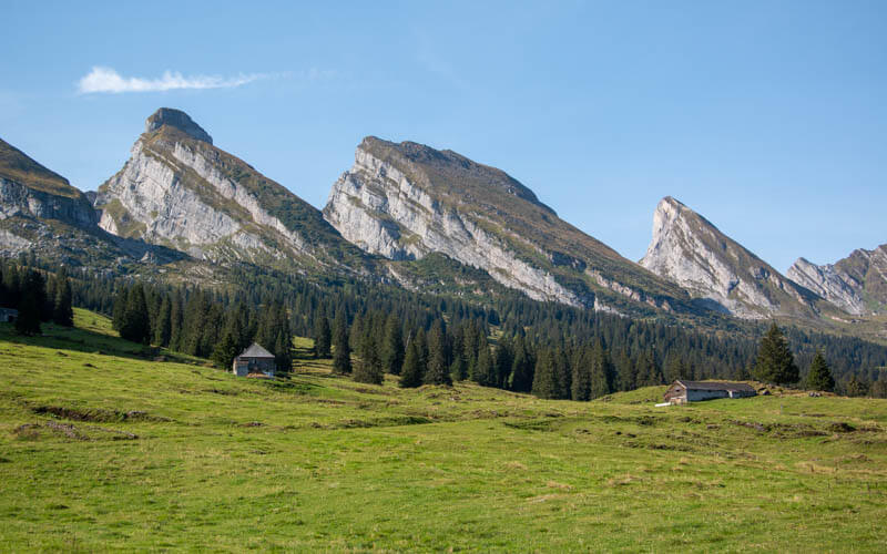
Some of the seven Churfirsten peaks you can climb. Our peak is out of the frame to the left.
As you near the peaks, you’ll see a couple more trail signs. Just keep following signs to Schibenstoll.
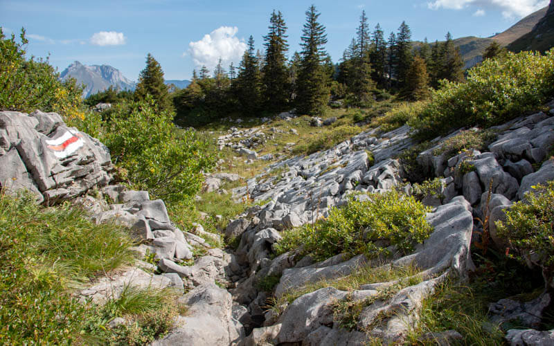
Now the trail starts to head up the mountain, starting in these limestone fields. Very rocky terrain here. Make sure to follow the red/white markers, not the blue/white which lead to the Zustoll peak.
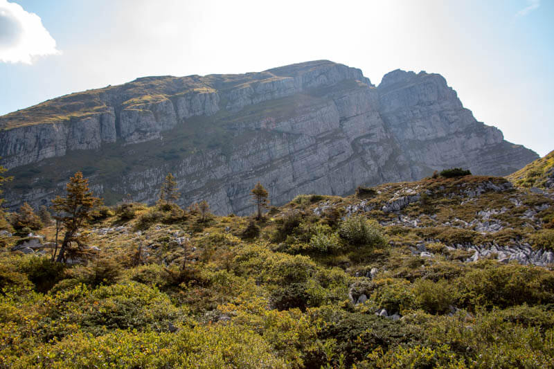
That’s our peak, Schibenstoll. From here, I wondered how we would make it up there.
This is the neighboring peak Zustoll, which is a blue/white trail. My friend did this trail and said it was the most difficult of all seven peaks, with some chains to climb the very steep parts. I think I’ll skip this one.

Looking back down the trail, such pretty views around here.
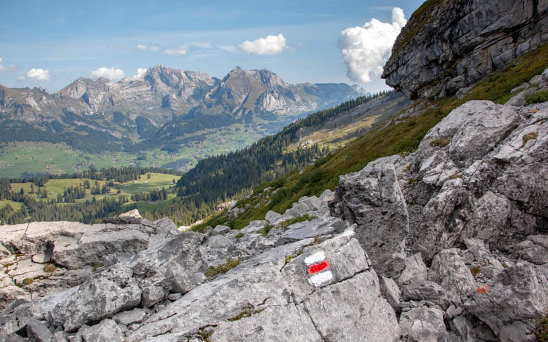
Now the trail narrows as you skirt under the cliff walls. It slopes quite steeply off one side, but not exactly a cliff. You have to be extra careful on these parts.

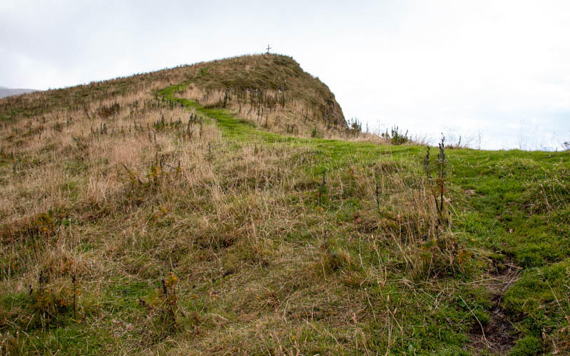
After the scary part, you reach this safe part, basically a big slanted field leading up to the cliff edge, near that cross in the distance. It was hard to see the trail sometimes, but it doesn’t matter so much. Just walk up to the cross.
Looking back towards Toggenburg valley.

Now on the cliff’s edge, your reward for all that hard work. Absolutely spectacular up here. One of my most favorite views in Switzerland.

To our left is the neighboring peak Hinterugg, which is connected to Chäserrugg, where get these views the easy way by simply ride a cable car to the top. There some nice hiking for kids that starts from there, including the Chäserrugg panorama trail.

Enjoy the view, have your picnic, sign the Gipfelbuch, then head back down the way you came. And stay safe!
See more challenging ridgeline hikes




