This panorama trail wanders through alpine pastures in the Entlebuch region near Lucerne. Start by riding a gondola up the mountain and an optional go cart ride before starting the hike. The trail leads close to the Schrattenfluh mountain range, where you’ll find an alpine dairy for refreshments. Then down the mountain and catch a bus back to your starting point. A nice day with long views of mountains and rolling countryside.
| Region: | Entelbuch Luzern region, Central Switzerland |
| Starting point: | Marbachegg cable car |
| By car: | Parking: Dorfstrasse 61, 6196 Marbach From Lucerne 1hr, Zürich 1hr30 |
| By public transport: | Bus stop: Marbachegg, Talstation From Lucerne 55 mins, Zürich 1hr40 |
| Trail: | 7.8 km one way |
| Time: | 2hr30 |
| Difficulty: | easy • 150 m up, 610 m down |
| Condition: | first half on service road, second half narrow dirt footpath with uneven terrain (no strollers) |
| Elevation: | highest point 1450 m |
| Open: | end of May to mid-October |
| Cost 2022: | CHF 22/adult, discounts for travel cards, free with Tell Pass |
| Extras: | restaurants, picnic areas with fire pits, mountain carts, bike park |
| More info: | marbachegg.ch • webcam • forecast |
Location
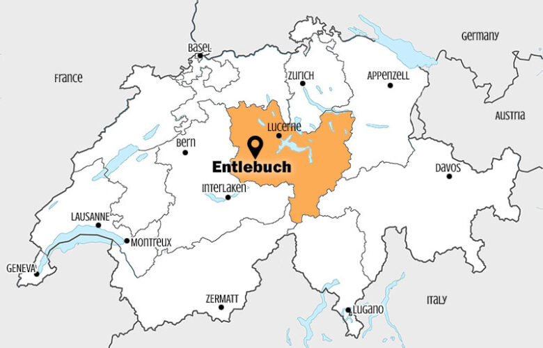
Marbachegg is a mountain resort in the Entlebuch region, southwest of Lucerne (see on Google Maps).
Hiking map
The trail starts at the top of the Marbachegg gondola and ends at Kemmeriboden, where you can ride a bus back to Marbachegg. The first half is on a service road, sometimes paved, sometimes gravel.
The second half is a footpath on grass and dirt, leading through meadows and forest. There are a few steep descents but mostly easy walking. There is one short section with a sign warning of possible falling rocks. Just walk quickly through here and don’t stop.
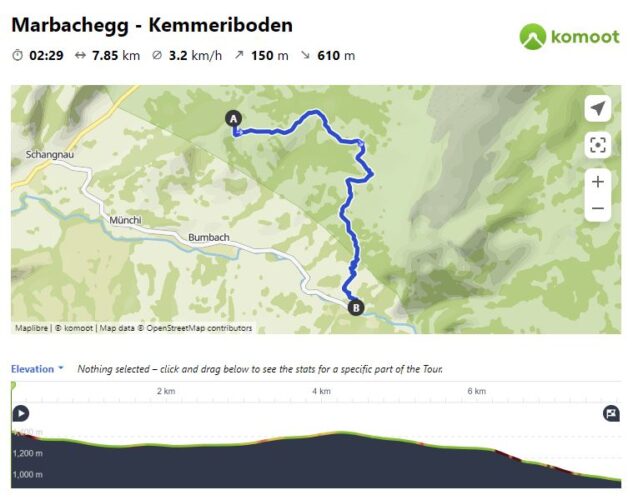
View interactive trail map, download GPX, and print map on Komoot • SchweizMobil • OutdoorActive
Stroller option
The first half of the trail to Imbrig is a wide road and possible with a sturdy stroller. But note that the first downhill part near the gondola is rather steep and I think would be difficult with a stroller, even though they suggest that. In any case, you cannot do the second half the trail from Imbrig to Kemmeriboden with a stroller as it is a narrow footpath. You would simply return the way you came, back to Marbachegg.
How to get there
By car
Drive to Dorfstrasse 61, 6196 Marbach and park in the free parking lot adjacent to the cable car. The road leading here from Lucerne is two lanes, but well built and easy to drive.
By public transport
Take a train to Escholzmatt, Bahnhof, then bus 251 to Marbachegg, Talstation, which drops directly at the gondola station. There are hourly connections from Lucerne.
Bus shuttle back to start
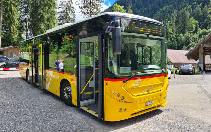
Since this is a one-way hike, all hikers will need to take bus 251 from Kemmeriboden (Schangau) back to Marbachegg, Talstation, about a 20 mins ride. This bus runs rather infrequently, so check the schedule carefully to avoid long wait times.
On weekend in 2022, the 251 bus picked up at the following times: 9:40, 9:55, 11:40, 11:55, 12:55, 13:40, 14:40, 14:55, 15:55, 16:40, 17:40. Check current schedule.
Ticket prices
For this one way hike, you need a one-way ticket up the gondola and a bus ticket back to Marbachegg. You can buy this combo ticket at the Marbachegg ticket office, called a Rundreisebillet Kemmeribodenbad. In 2022, this costs CHF 22/adult, CHF 19/youth 16-19, CHF 12/child 6-16, under 6 and Junior Cards free.
Discounts with GA, Half-fare, Swiss Travel Pass, and SBB Day Passes. Free with Tell Pass. See current prices.
If you plan to ride the Mountain Carts, you can buy a combo ticket with one-way gondola and 2 cart rides for CHF 25, which is a bit less than buying them separately.
Opening hours
The Marbachegg gondola is open for summer season from late May through mid October. If there is warm spring weather, it may open for weekends and holidays in early May. The gondola runs daily 8:30 – 17:30, opening at 8:00 on Sundays. See website for current operating times.
Mountain Cart
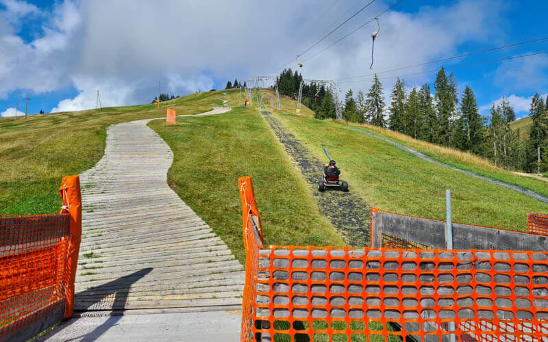
At the top of Marbachegg, you’ll find the mountain carts, which is a three wheel go cart with hand brakes. You ride down a track lined with wooden slats. After the ride, a drag lift returns you and the cart to the starting point. You can do this before the hike. Children 11+ can ride on their own. Under 11 can ride with an adult, but it can be tricky riding double on these.
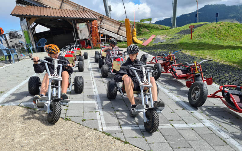
One ride costs CHF 5. You can purchase a 5 or 10 pack for a slight discount. They provide helmets free of charge. If you pay at the cart station, you must pay in cash. If you buy a combo ticket with your gondola ticket, you can pay with card or cash.
Where to eat
At the top of the Marbachegg gondola, there is Berggasthaus Marbachegg with lots of outdoor seating. After an hour or so, there is Alp Imbrig, an alpine dairy with a cafe, just off the trail, where you can buy refreshments (closed Tuesdays). At the end of the trail, there is Hotel Landgasthof Kemmeriboden Bad, which has a restaurant. However, it was heavily damaged by a flood on 4 Juli 2022 and it is closed indefinitely as they rebuild.
Along the first half of the trail, there are several picnic areas with fire pits and tables. I would suggest the picnic area just after Imbrig (1hr15 of hiking), which has some shade and a nice view of the mountains. At the top of the gondola, you can purchase a fire making kit (including matches and kindling). In 2022, there is a fire ban due to the drought.
Photo story of trail
1. Riding up gondola to Marbachegg
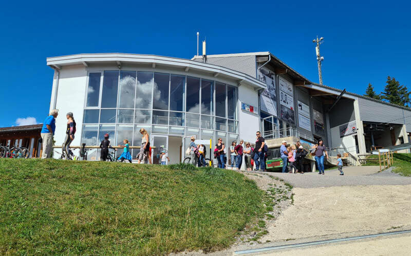
Here is the Marbachegg gondola stations. Buy tickets here.

Four people fit in each gondola car. It’s a short ride to the top.
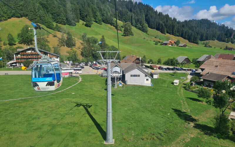
The gondola station at the top.
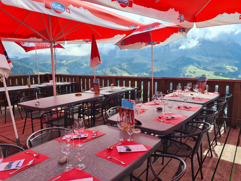
Restaurant at the top of the gondola. We had a quick coffee/cocoa & croissant before heading on the trail.
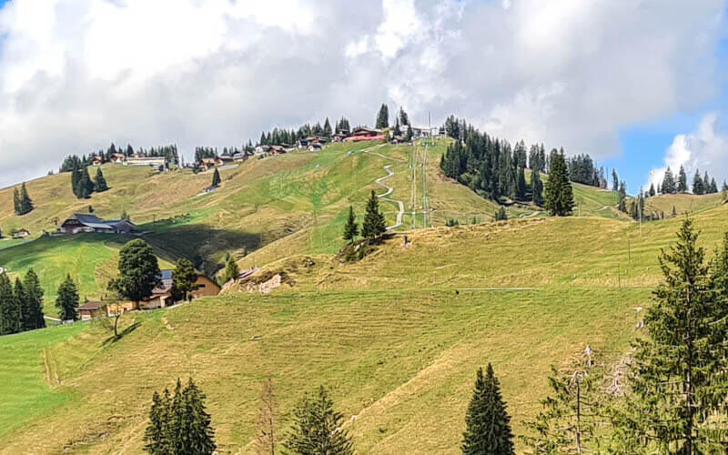
Here’s what the gondola station looks like after you are on the hike. It’s at the top of the lift.
2. Riding the Mountain go-carts
Right at the gondola you’ll find the go-carts. We paid here in cash for one ride each.
Here is the wooden track you ride down.
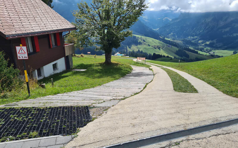
The track gets quite steep at times so stay in control.

At the bottom of the track, you get off your cart. The attendant sets the cart in the correct position then you get on the cart again. The attendant hooks the tow bar to your cart and you hold the handlebars as you ride to the top.
3. Starting the trail
Near the carts and gondola station, you’ll see this trail sign. Follow signs to Imbrig and Kemmeriboden Bad. You are also on the green 65 Grenzpfad Napfbergpfad.

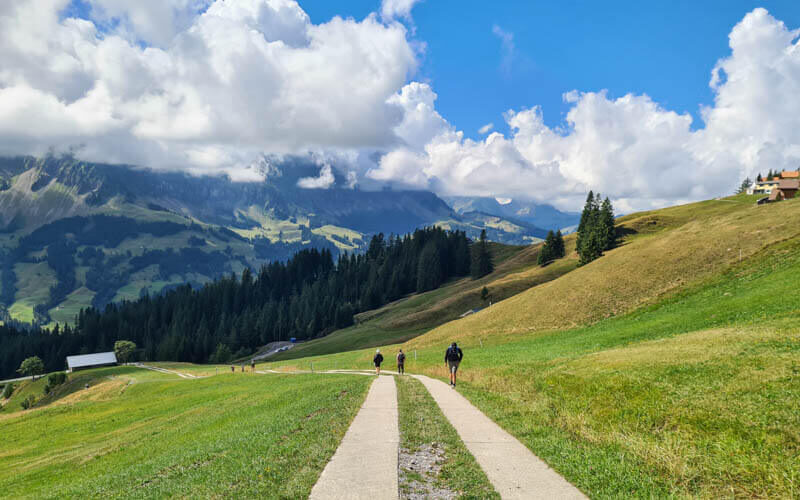
The trail starts on this “road”.
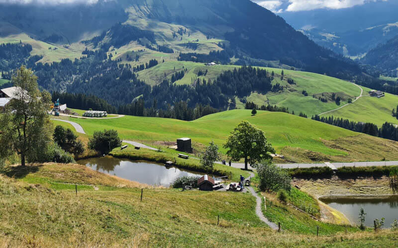
The path descends these stairs to the first picnic area near that little pond.
Now down a big grassy hill.

Looking for the best online services?
Explore top-rated platforms and secure your discount before it expires.
Looking back up to Marbachegg.

Join the road and turn left following the road.
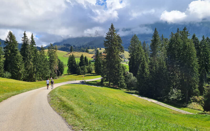
At this farm, the trail branches left off the road for a bit. We missed this turn off and continued on the road. Don’t worry if you miss it too because the trail joins back with the road after a few minutes.

Lovely views down the valley.

Passing by adorable farm houses.

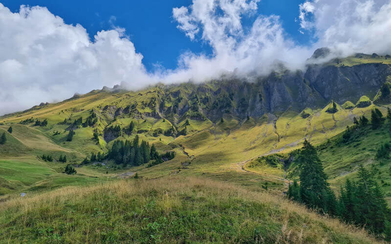
The road is leading close to those peaks, the Schrattenfluh range.
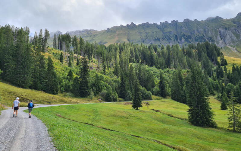
Now very close to the peaks. Take lots of pics here.
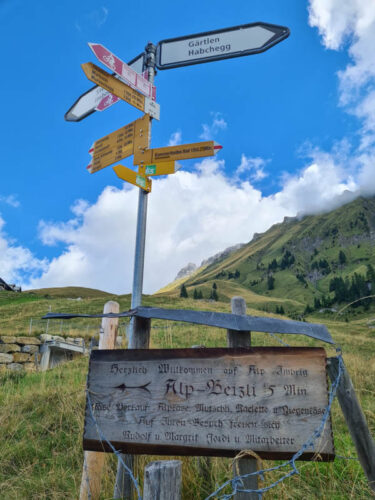
You’ll see this sign for Alp Imbrig. It’s a five min detour uphill to the alpine dairy, which has a cafe selling hot and cold food. There’s a menu posted on the sign to help you decide.
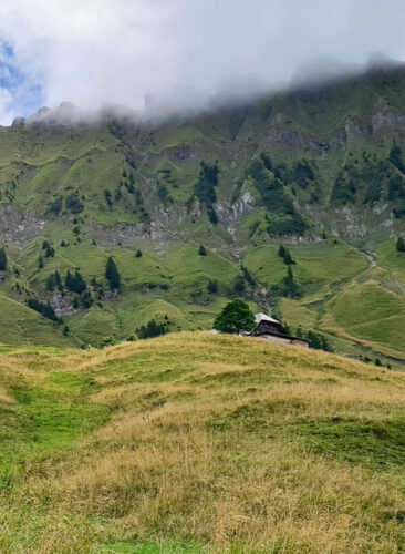
To continue hiking, keep following the road as it curves to your right.

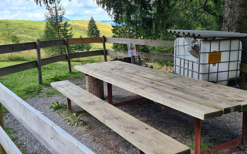
You’ll pass another picnic area in a shady spot. It has a nice view the other direction
4. Footpath down to Kemmeriboden
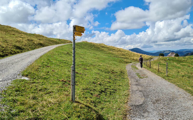
At this fork, go right following signs to Kemmeriboden Bad.
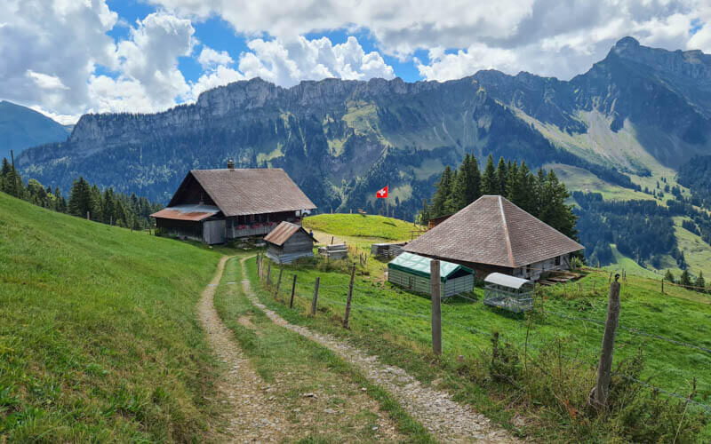
After this farm, you leave the road and follow a footpath for the rest of the way down the mountain.

Traversing and slowly making your way down.
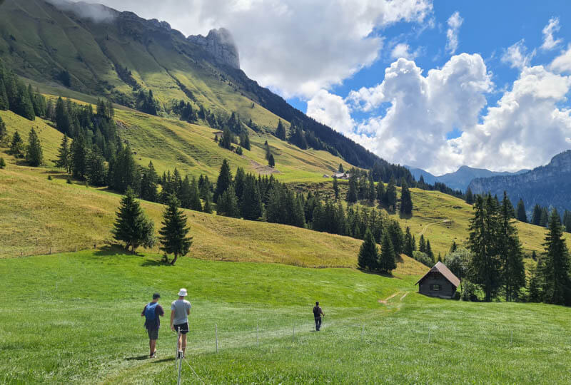
You will pass through a few farms on the way.
At this section, you’ll see a Danger sign warning of you possible falling rocks over a short section. Just walk quickly through and don’t stop or linger in this section.

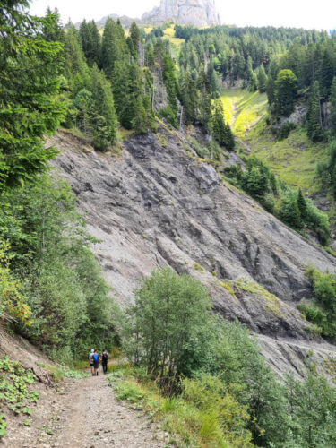
There are some steep slopes to the side but the trail is wide and well built.
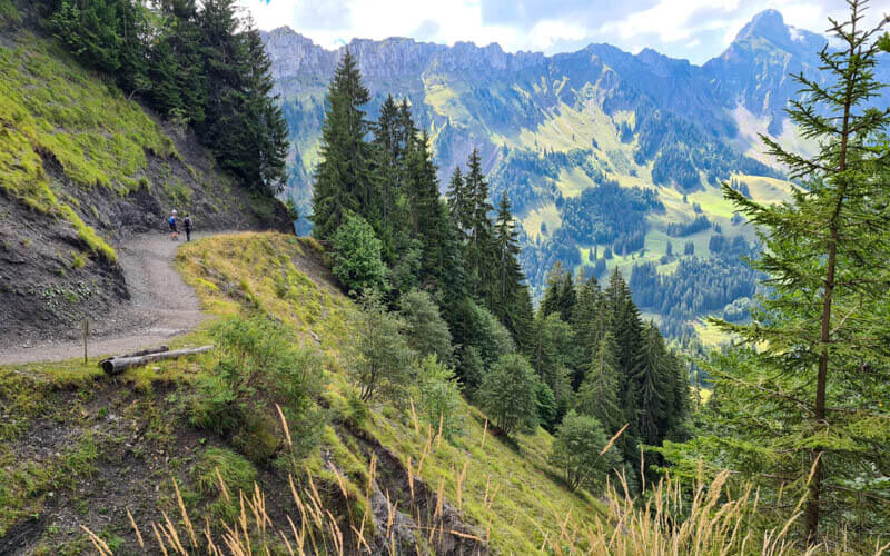
Despite the number of meters you have to descend, the walk down was milder than expected.

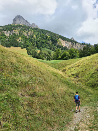
Almost down with the peaks getting farther away.
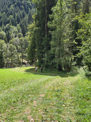
Emerging from the forest at this parking near the Kemmeriboden bus stop.
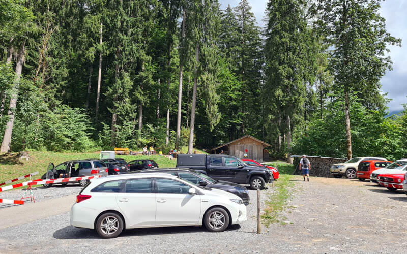
If you already have a ticket, just get on the bus. If you don’t have a ticket, you can buy one with coins from the driver. It’s about a 20 mins drive back to the gondola station. If you came here by public transportation, you can stay on this bus to the Escholzmatt, Bahnhof train station. Although the trail was empty, the bus was very crowded on the Sunday afternoon we went, presumably people doing other trails in the area.
FAQ
Can you take dogs on this trail?
Yes, dogs are welcome on this trail and ride free on the gondola. You are expected to keep dogs on the leash, particularly around cattle and other hikers. Please clean up after your dogs waste.
What to wear
This is a mountain hike, so weather and temperatures can change quickly. Dress appropriate to the weather forecast, bringing layers like a fleece and windbreaker/rain jacket as needed. Most of the trail is quite wide and away from tall grass. So for hot days, it’s ok to wear shorts.
Although much of the trail is on a road, the second half is on a dirt footpath with uneven terrain. So I suggest hiking shoes with good tread. I found hiking sticks helpful on the steep downhill sections on the last few km of the hike.
For sunny days, make sure to bring sunscreen, sun hat, and sunglasses. Bring at least 1 L of water per person. There are no fountains but you can buy drinks at the mountain restaurants.
What to bring
Although you can buy refreshments at the restaurants along the way, I suggest bringing minimum 1 L of water per person and snacks.





