
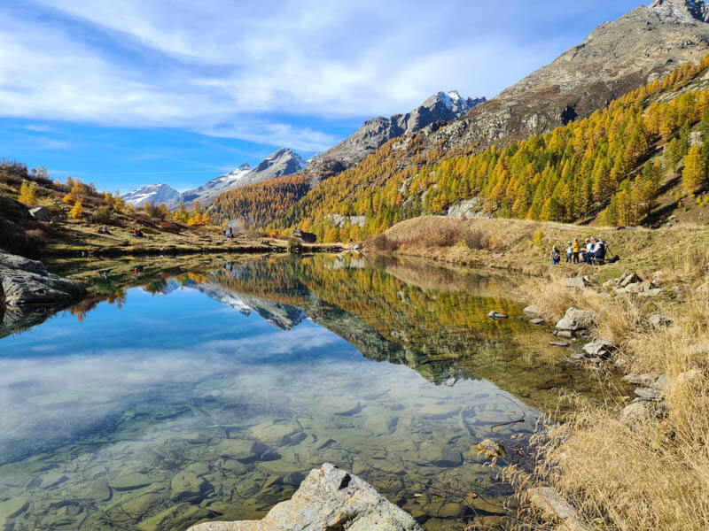
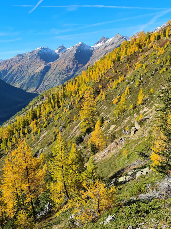
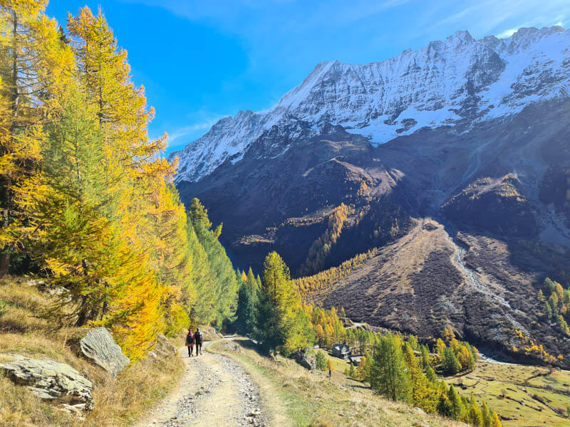
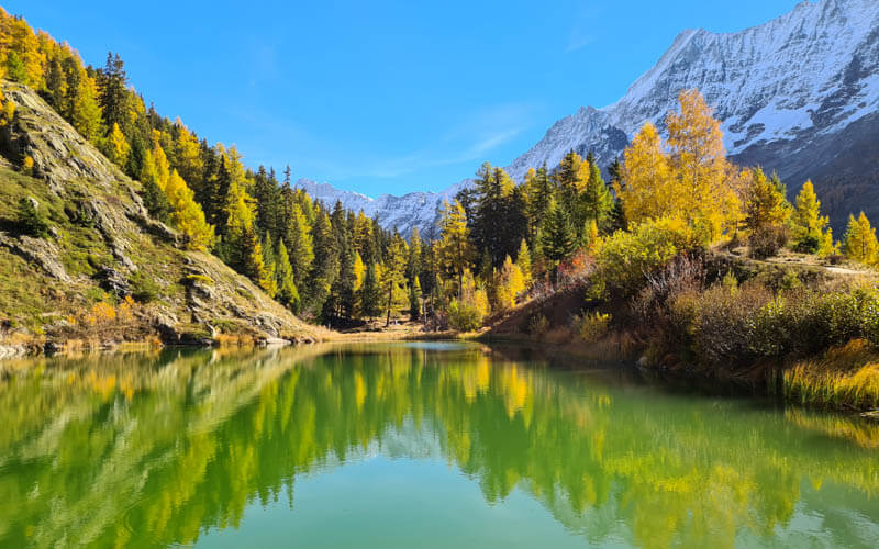
The Lötschental Höhenweg trail leads through a remote valley surrounded by mountains. The trail visits three alpine lakes along the way, where you can picnic. In late October, the larch trees turn bright and orange, a really special experience.
It’s relatively easy walking, but I have even easier and shorter options below if you need them.
NOTE: In May 2025, this valley was sadly devastated by an enormous landslide, which destroyed the Blatten village. Reconstruction efforts are underway, but are expected to take 3-5 years. In the meantime, you can enjoy golden larches in many other parts of Switzerland, particularly the St Moritz Engadin region.
| Region: | Valais, southern Switzerland |
| Start point: |
Lauchernalp cable car – Dorfstrasse 80, 3918 Wiler (Lötschen) |
| End point: | Fafleralp parking & bus stop |
| By car: | Parking at Fafleralp: 46°26’03.2″N 7°51’40.8″E From Interlaken 1hr45, Bern 1hr55, Zürich 3hr30 |
| By public transport: | Bus stop: Fafleralp From Interlaken or Bern 1hr40, Zürich 2hr40 |
| Trail: | 11.5 km one way |
| Time: | about 3.5 hours |
| Difficulty: | easy/moderate, 240m up, 410m down |
| Condition: | wide dirt path, no strollers |
| Elevation: | 2055m |
| Open: | mid June to October, weather dependent |
| Prices: | cable car CHF 18/adult discounts for Swiss travel cards |
| Extras: | mountain restaurants and picnic areas |
| More info: | website • webcam • forecast |
Gallery




Trail description
The hike starts at the top of the Lauchernalp cable car and leads to the Fafleralp bus stop. Or you can do the hike in reverse. About 2 hours into the hike, you reach the Schwarzsee lake, where many people picnic. After about 3 hours, you reach the Fafleralp parking and bus stop, where there is a kiosk and Hotel Fafleralp, with a self-service restaurant.
From the parking, keep hiking up the valley about 15 mins to reach the Grundsee lake, where you can also picnic with a fire. Then retrace your steps to the parking where you can catch the bus.

Hiking map
The trail is pretty easy, much of it downhill if you start at the top of the cable car. The path is mostly a wide dirt path, sometimes with rough uneven terrain. But it is not particularly difficult or dangerous. It is suitable for children and anyone comfortable walking on mountain trails.
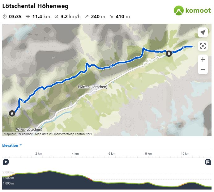
View interactive trail map, download GPX, and print map on Komoot • SchweizMobil • OutdoorActive
Shorter hike options
With small children, I suggest starting at the Fafleralp parking lot and doing a short 15 mins walk up to the Grundsee. This section is gorgeous with lots of larch trees. You’ll feel like you got the whole experience without a long hike. At the Grundsee you can picnic with a fire. Then just walk back the way you came. This hike is not suitable for strollers.
If you want to see the Schwarzsee lake, we saw many families hiking up from the Fafleralp parking, which is only 2.5 km to the lake, about 70 m of elevation. So pretty easy. Then just walk back the way you came, which is mostly downhill.
Longer hike options
If you want a very long hike, you could combine this trail with the Fafleralp Rundweg, which is a loop trail leading to the Anenhütte at the far end of the valley. That loop is 11 km, 660m up/down. So combined this would be about 22 km. If the mountain hut is open, you could sleep there overnight and hike back to Fafleralp the next day. This would make your day one distance about 15 km. Learn more about this route.
Another popular route is starting in the Gasteretal valley and hiking over the mountain to the Lötschental valley. This trail is about 10 km to the top of the Lauchernalp cable car (with 1300m elevation gain), where you can continue the panorama trail described above. Read more about this route.
Adjustment for late October & early November
If you visit after the third week of October, the bus no longer runs as far as Fafleralp. Instead it only goes as far as the Blatten (Lötschen), Dorf bus stop.
In this case, you will continue hiking from Fafleralp down to Blatten for the bus. It’s 4.2 km, about 1 hour. It’s easy walking and all downhill. Current current PostAuto bus schedule.
How to get there
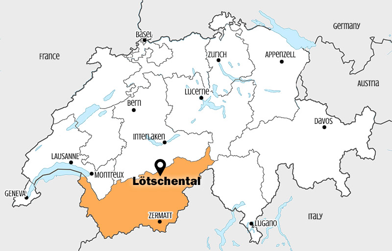
The Lötschental valley is located in southern Switzerland in the Valais canton. See on Google Maps. This area is easily accessed by car or bus.
By public transport
Take a train to the Goppenstein train station. Then take bus 591 to Wiler (Lötschen), Talstation, which drops off directly at the Lauchernalp cable car station. From Goppenstein, this bus runs hourly on the xx:03 (see current schedule). It’s an 11 min ride.
The hike ends at the Fafleralp bus stop, where you can catch the bus back to Goppenstein. This bus runs hourly on the xx:18, first bus 8:18. See current schedule.
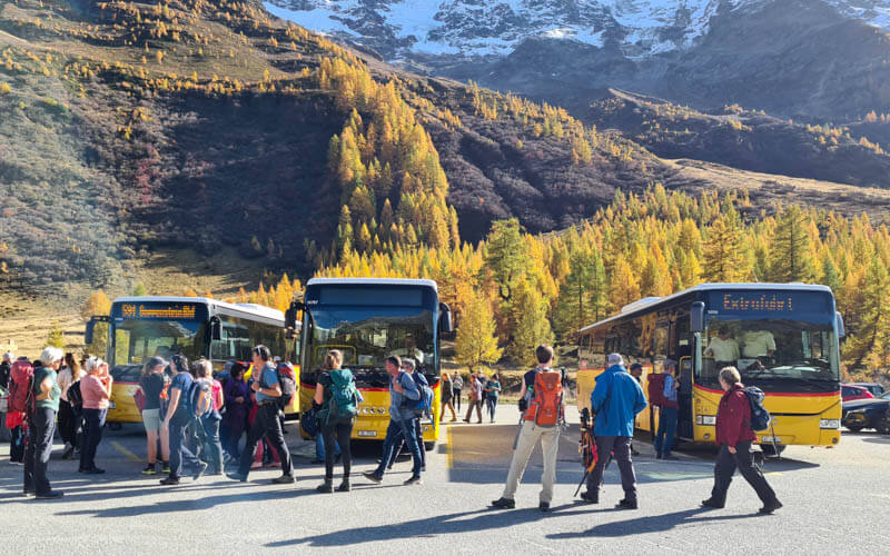
On busy days, they will run more than one bus to accommodate the rush. Often there is an express bus that only stops at the Goppenstein train station, Wiler (Lötschen), Talstation and Fafleralp parking. If you need to specific stop, verify with the bus driver before getting on the bus.
By car
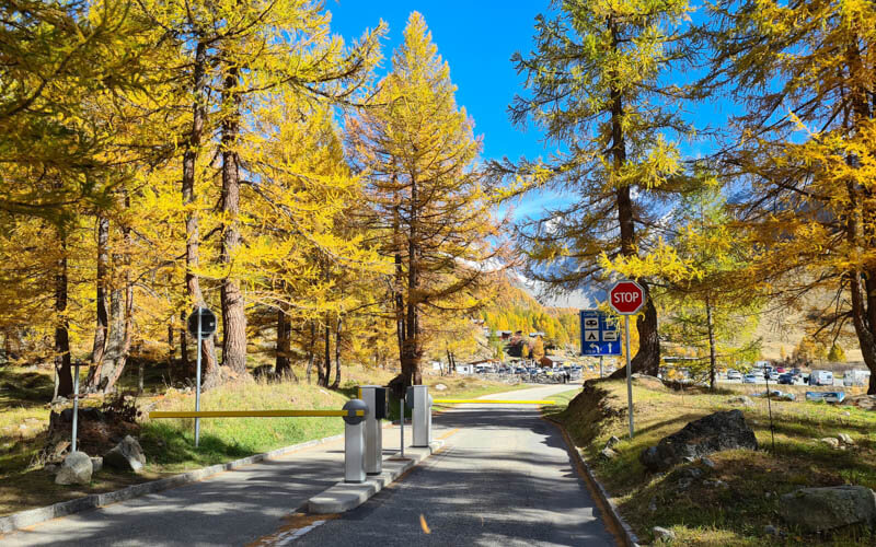
We suggest parking at Fafleralp, the end of the hike, and taking a bus back to the cable car for the hike. There is a large metered parking lot (maybe 100 spaces) at the end of the valley road, near Camping Fafleralp Lötschental (see on map). In 2022, it costs CHF 1/hr, CHF 7/24 hours.
From the Fafleralp parking, ride bus 591 to Wiler (Lötschen), Talstation, which is directly at the Lauchernalp cable car station. This bus runs hourly on the xx:18, first bus 8:18. See current schedule. The hike ends at the Fafleralp parking.
As you enter the valley, there are signs indicating which parking areas are already full (red lettering “Besetzt” means full). If you cannot park at Fafleralp, then park at the cable car station and adjust your travel plans accordingly.
Planning your day
Ticket prices
This hike requires a one-way ticket on the cable car. In 2022, this costs CHF 18/adult. Discounts for children, SBB GA & Half-fare cards. Large dogs require a ticket, same fare as children. SBB Junior cards are not valid. See current prices.
You can purchase this ticket on the SBB Mobile App. This is helpful for busy days because you can skip the ticket office line and go directly to the cable car line.
When to go – Opening hours
The main summer hiking season is from early June to late October. During this time, the cable car runs every 30 mins on the xx:25 and xx:55. First car up at 8:25 (earlier in summer) and last car down at 18:25.
The best time to see the golden larch trees is late October to early November. During this time, some or all services may be closed in the area. So check carefully the cable car and bus schedules and opening times for restaurants.
In November and April, the cable car runs a limited schedule, only 5-6 times a day. See current schedule.
Important: If you visit after the third week of October, the bus no longer runs as far as Fafleralp. In 2022, the last day for the bus to Fafleralp is 23 Oct 2022. Instead it only goes as far as the Blatten (Lötschen), Dorf bus stop. In this case, you will can hike from Falfleralp to Blatten, about 4.2 km and 1 hour. It’s easy walking and all downhill. Current current PostAuto bus schedule.
Sample schedule
We visited Lötschental on Wednesday 19 Oct 2022. We caught the train at the Zürich HB at 6:32 and arrived at the cable car at 9:15. We were on the mountain by 9:30. We hiked rather slow, stopping to take a lot of photos along the way. We arrived at the Schwarzsee at 11:50. We arrived at Fafleralp at 13:00.
We spent another 50 mins hiking up to Grundsee and back, taking lots of pics. Then lunch at the Fafleralp kiosk. We caught the 15:18 bus at Fafleralp and were back in Zürich at 18:28.
The buses were packed and we had to stand. The evening train from Bern to Zürich was also very full with commuters and many people had to stand.
Where to eat
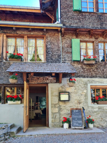
We ate at the kiosk at the Fafleralp parking. They had a few warm dishes including sausage and stew with spätzle. There is a self-server restaurant at Hotel Fafleralp, about a 5 mins walk from the Falferalp parking.
At about the half-way, there is a mountain cafe at Tellialp (show on Google Maps). There are a couple restaurants at the top of the Lauchernalp cable car.
Where to stay
There are several hotels in this valley in the various villages. If I went back, I’d try to stay at Hotel Fafleralp, which is near the parking at the end of the valley. In warmer temps, you could stay at Camping Fafleralp, also located near the parking. It would also be fun to stay at the Anenhütte mountain hut, which is a 2.5 hour hike from the parking. The hut is open June through early October.
Photo story of trail
All pictures are from our visit on 19 Oct 2022.
Riding up the cable car
Here’s the Lauchernalp cable car station. You can buy tickets with card or cash at the ticket office. You can also buy tickets with the SBB Mobile App and skip the ticket line.
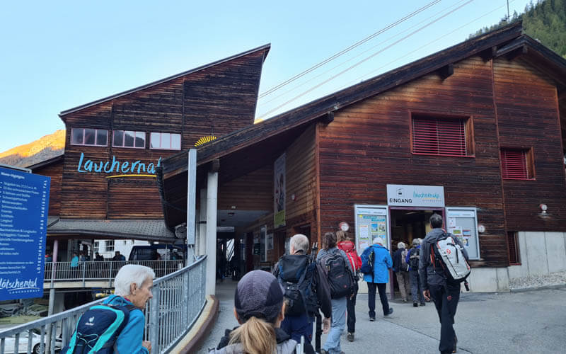
It’s a large cable car that fits about 100 people.
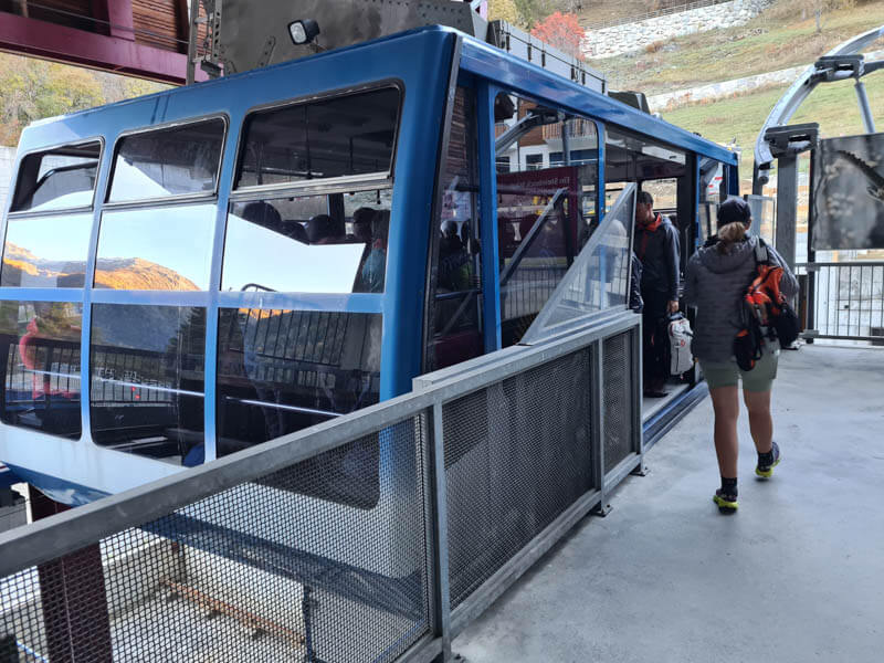
Arriving at the mountain station. There are toilets here next to the exit and more at the self-serve restaurant downstairs.
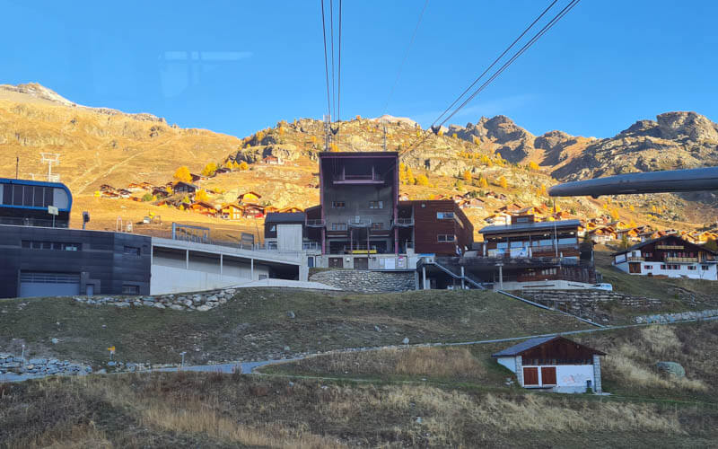
Starting the trail
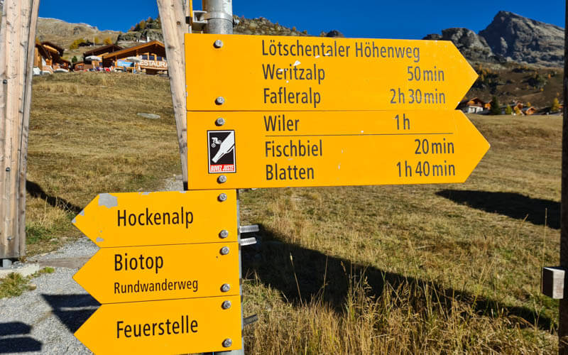
Follow the “Lötschentaler Höhenweg”trail signs towards Fafleralp.
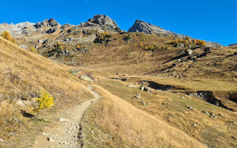
The trail is a well-defined dirt footpath as shown here.
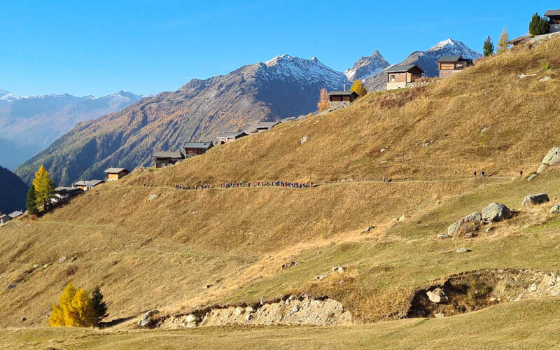
See the long line of hikers on the trail. That made me nervous but actually we found the actual trail rather quiet.
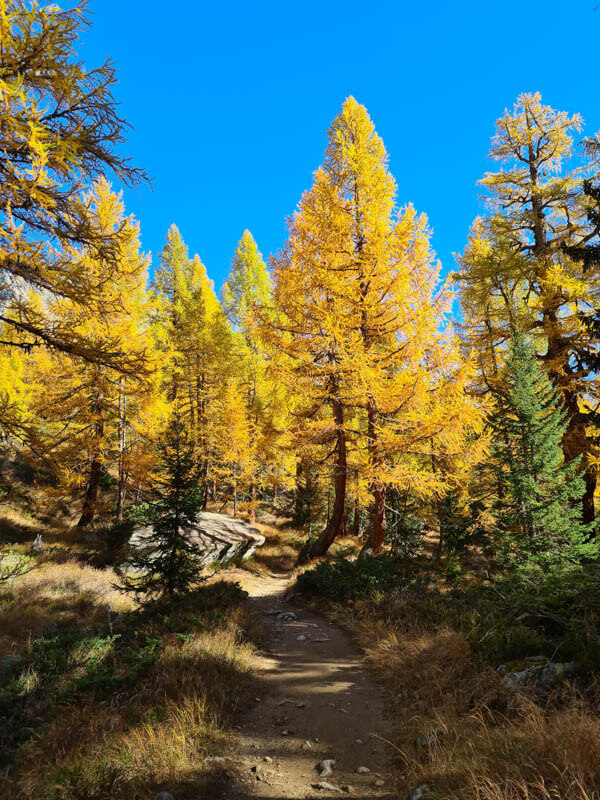
Lots of yellow trees on the trail.
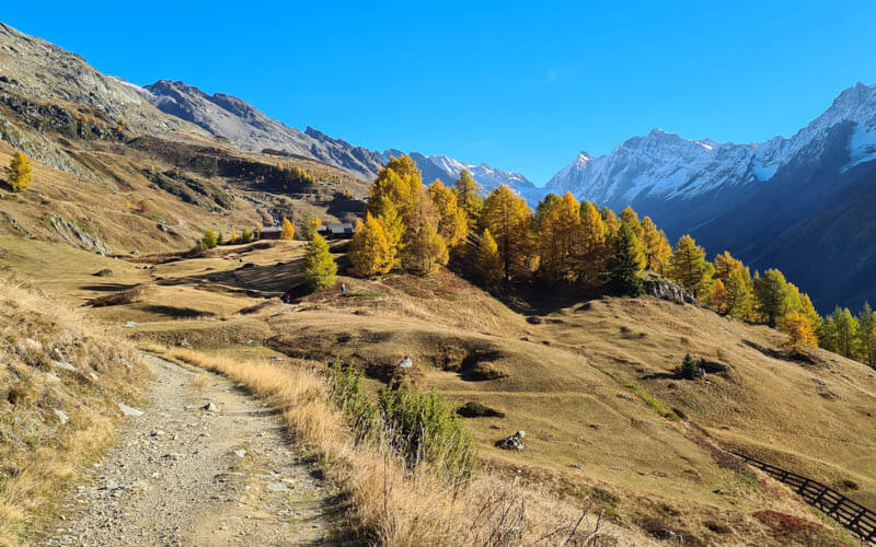
So pretty on this sunny October day.
Some parts are in the shady forest.
Some parts have long views down the valley.
Tellialp restaurant
After about 90 mins walking, we reached the Tellialp mountain restaurant. We didn’t stop here. Online reviews seem positive about the food and service. But toilets are for customers only unless you pay a small fee.
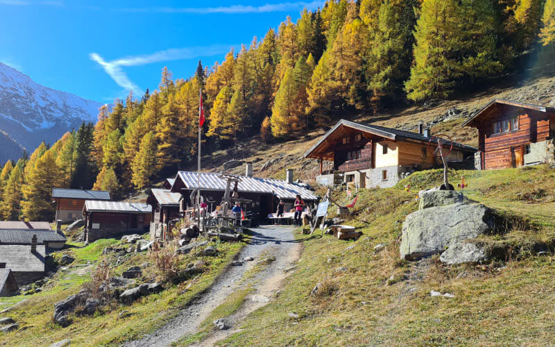
Lovely section of the trail after Tellialp before reaching the Schwarzsee.
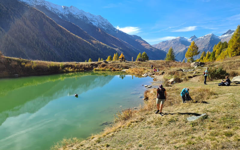
Schwarzsee lake
After another 25 mins of walking, you’ll reach the Schwarzsee, a highlight of the hike.
Lots of people stop here for a break and picnic.
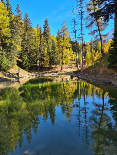
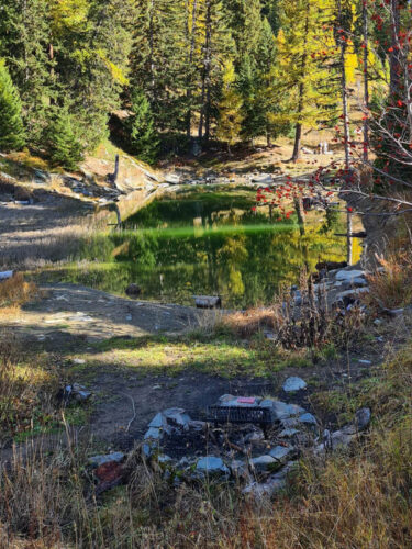
Just beyond this lake, there is a second smaller pond. I suspect they are just one bigger lake when the water level is higher. Next to that second lake in the forest, there is a Schweizer Familie fire pit.
Hiking down to Fafleralp
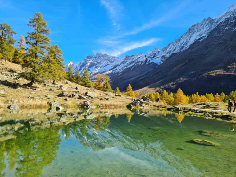
From the Schwarzsee, it’s about an hour walking down to Fafleralp.
You’ll pass another small unnamed lake a few minutes before reaching Fafleralp.
Hike to Grundsee
From the Fafleralp parking, walk on the dirt path up the valley, as shown here. Follow signs to Grundsee.
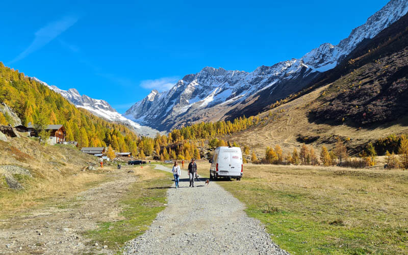
First view of the Grundsee.
It’s a small lake but still room to spread out along the lake shore. A couple people had campfires going.
Eating at Fafleralp
After visiting the Grundsee, we walked back to the Fafleralp parking and ate at the kiosk there.
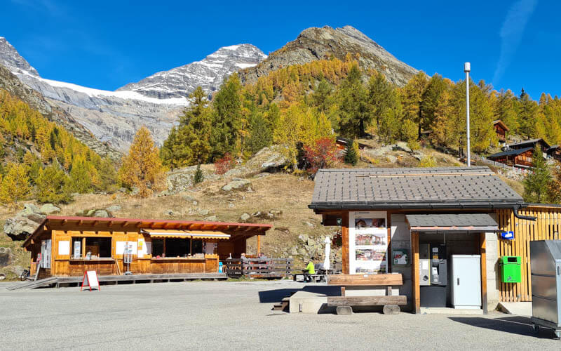
Next to the kiosk, there is outdoor seating, a small playground and WC.

They have a typical Swiss menu with cheese, preserved meats, sausage, rösti, fries, etc. I got the “wild” special of venison stew with spätzle and cabbage.
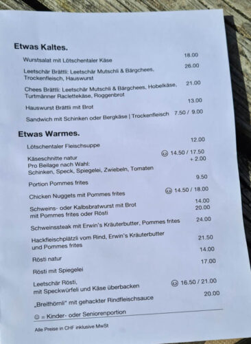
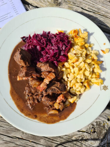
There is also a self-service restaurant at Hotel Fafleralp, about a 5 mins walk from the Falferalp parking. The day we were there, they were serving warm food until 14:30, then drinks and snacks after that.

Riding bus home
The buses pick up in the Fafleralp parking. Even on a Wednesday, it was super crowded. They ran three buses that day to accommodate the crowds. We rode on the Express Bus that didn’t stop until the Goppenstein train station.
FAQ
Can I bring dogs on this trail?
Yes, we saw several dogs on the trail. Please keep them on the leash for the safety of other hikers and the dog and clean up the waste, per usual.
Can I bike on this trail?
Yes. This trail is multi-use for both walkers and mountain bikes. Please be courteous on the trail and give walkers warning when you want to pass, preferably with a bell.
What to wear and bring
This hike is best done with hiking shoes with good tread, though you would probably be fine with comfortable walking shoes. I didn’t find hiking sticks necessary.
This is a mountain hike, so weather and temperatures can change quickly. Dress appropriate to the weather forecast, bringing layers like a fleece and windbreaker/rain jacket as needed. For hot days, shorts would be fine as there isn’t tall grass directly on the trail.
Make sure to bring sunscreen, sun hat, and sunglasses. Bring at least 1 L of water per person as there no fountains along the trail. You can buy drinks at the mountain restaurants at the start, middle and finish of the hike.






2 responses
Thank you so much for this extremely detailed description of the trail!!! Wonderful work, it’s so helpful.
Yay! I loved this hike so much and glad you found this post helpful.