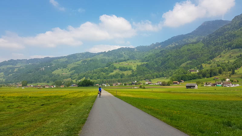
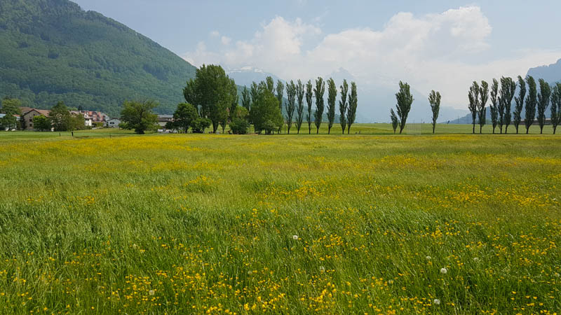
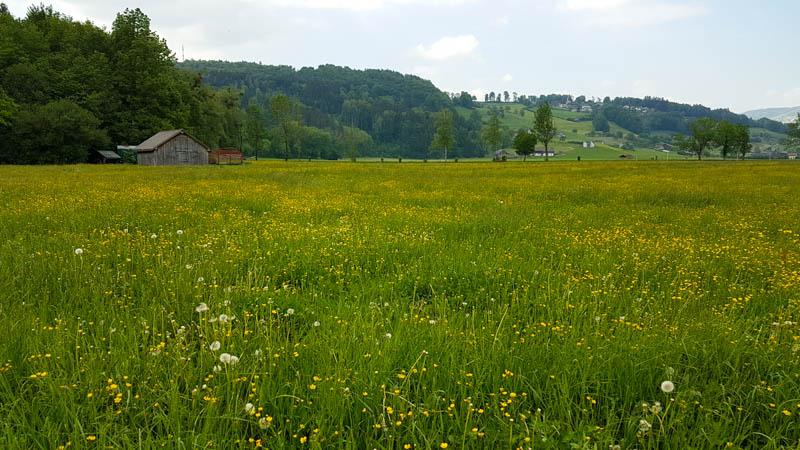
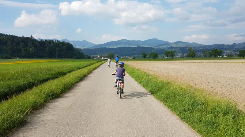
We loved this easy bike ride through farm fields southeast of Zürich lake, with views of beautiful mountains on all sides. We went in early May, which was a lovely time to go when the hay fields are full of wildflowers, a great option for springtime.
This is a good one for families because the path is quite safe, on separate bike lanes and low traffic country roads. It’s also very easy riding with no big hills. There is a very nice playground at the half-way point, also with fire pits, a good place for a long break or lunch.
This path is also designated for inline skating, which means the surface is paved and smooth.
| Location: | Zürich Region |
| Start & End: | Uznach train station Bahnhofstrasse 10, 8730 Uznach |
| By car: | 45 mins from Zürich Parking GPS: 47°13’26.6″N 8°58’55.7″E |
| By public transport: | 1hr from Zürich HB to Uznach, Bahnhof |
| Trail: | 23 km loop |
| Condition: | paved, obstacle-free |
| Skill: | easy |
| Open: | year round, weather dependent |
| More info: |
First a little video of our ride. Please subscribe to our channel so you don’t miss upcoming videos.
Overview
This path is located in the Linthebene, a wide flat valley southeast of Zürich. We suggest starting at the Uznach train station (shown on the map below), though you can start anywhere along the loop.
The official route, Seen #9 on Veloland, starts in Uznach then loops back on other roads to return to your starting point. We followed this Route on GPS Tracks which was designed for inline skating.
Here are some of the waypoints on the route.

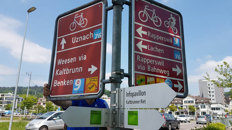
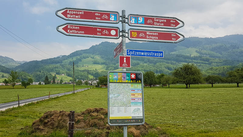
In general, you will follow the bike route signs. On the first half on your way to Schnänis, follow the blue Seen #9 signs as shown below, direction Weesen and Ziegelbrücke, until you reach the playground.
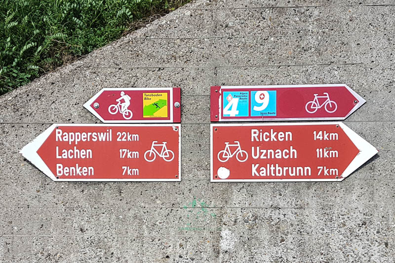
On the way back to Uznach, you’ll mostly follow these maroon bike path signs, but you’ll need to check the map a bit more carefully if you want to follow the exact route I’ve marked out above. Here is the sign near the playground where you turn back to your starting point, following signs to Rapperswil, which will loop you back to Uznach.
We mostly followed this Route on GPS Tracks and I was a bit skeptical as it slightly deviated from the marked bike route on the second half of the ride. But we kept following the map I printed out and in the end, it made sense why the route was designed in this way and I would recommend following my route as marked above.
Getting There
We started and ended in Uznach, parking at the train station there (bring change for the meter, about CHF 4 for several hours). You could also take the train to Uznach with your bikes.

Rentals for Bikes & Inline Skates
If you need to rent bikes or inline skates, you can do that at IBS Inline Shop located on the route Linthbettstrasse 6, 8717 Benken (not in Uznach). They also rent child bikes, but best to call ahead to make sure they have the size you need. They are open from March through mid-November in dry weather on Mon-Fri 14:00 – 19:00 and Sat/Sun 11:00 – 17:00. Contact: birchler@ibs-inlineshop.ch or 079 432 25 13
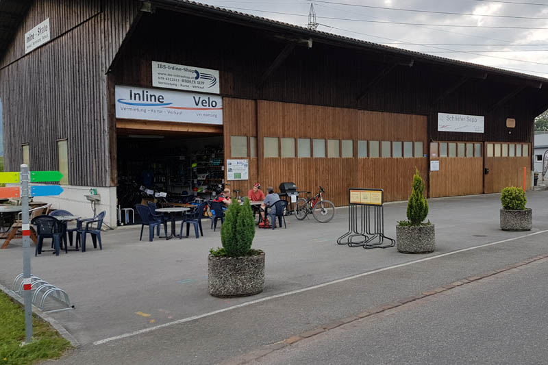
If you rent here, just start you ride here instead of in Uznach. There is a parking lot directly across from the skate shop. The nearest bus stop is Benken SG, Giessen, which is accessible by bus from the Ziegelbrücke train station.
Safety & Courtesy
Most of the ride is on low traffic country roads. Occasionally a car, tractor, or moto would go by but there was plenty of room for passing and we had plenty of warning as you could hear the cars approaching.

Actually, we had a bit more trouble with the bike traffic, which can be fast and silent. There are some serious bicyclists on this route, going very fast. My kids tend to weave when they ride and often stop in the middle of the trail no matter how many times I tell them to pull to the side. So a couple bicyclists yelled as us as they sped by and we had to keep reminding our kids to ride close to the right.
On the bike route
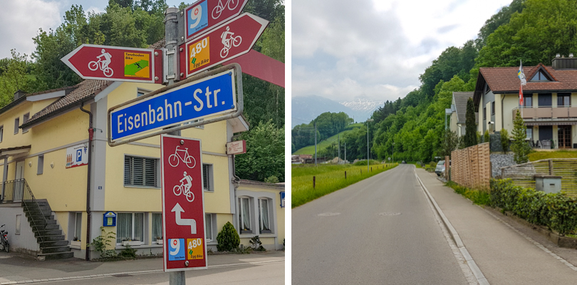
From the train station, ride west across the tracks, then turn left on the bike route marked by this sign, following route blue #9 toward Weesen.
The route starts on a bike path separate from the road.
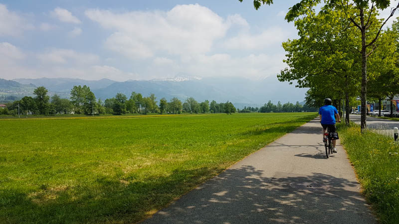
This is a long straight stretch, following signs to Ziegelbrücke.

When you cross the street, keep following the blue #9 sign. The yellow trails are for mountain bikes.
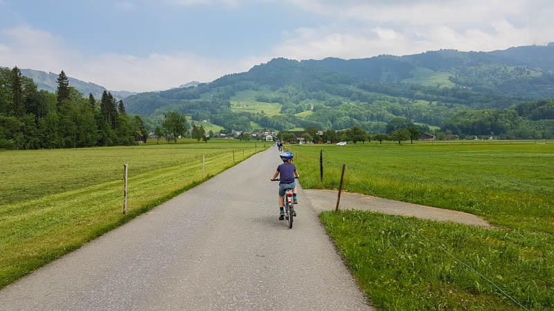
Through more fields.
Turn right again following blue #9 toward Schänis.

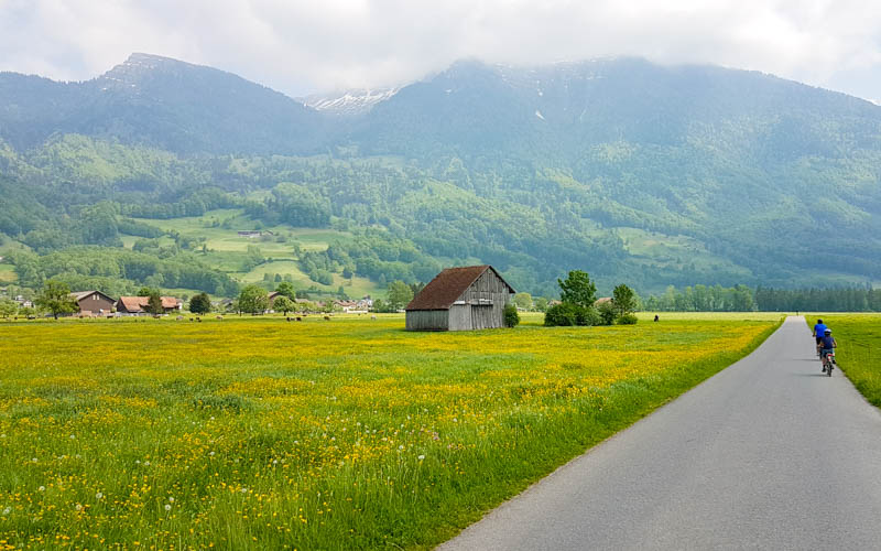
Some of the fields were being cut the day we were there in early May. This prompted lots of sneezing from our hay fever affected family members.
Playground at halfway point
This bridge marks the halfway point. You turn right after this bridge to continue the loop back.

But first make a stop at the playground near the bridge.
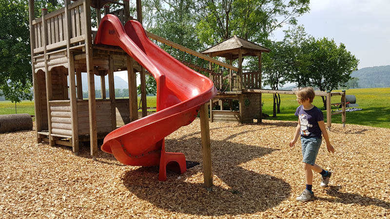
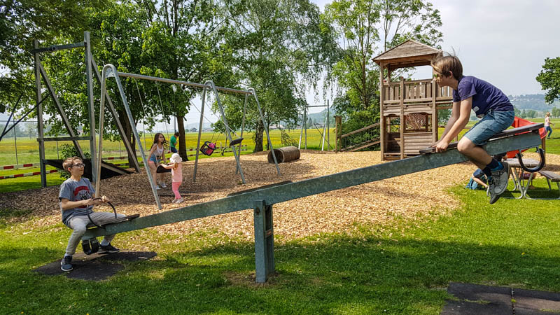
Swings, slides, zip line, see saw and two fire pits with wood.
Nice benches with a view.

The playground is in the cluster of trees, such a pretty spot.
Looping back to Uznach
When you are ready to get back on the trail, go back to the bridge and turn north, following the red signs to Benken. Keep following the little red bike path signs, not the blue or yellow signs.

You’ll pass the rental shop shown below. If you need to rent gear, you can start your ride here instead.
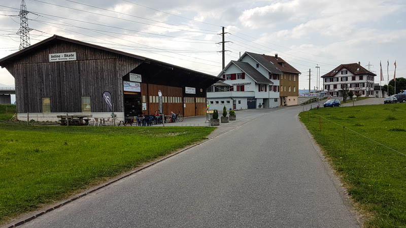
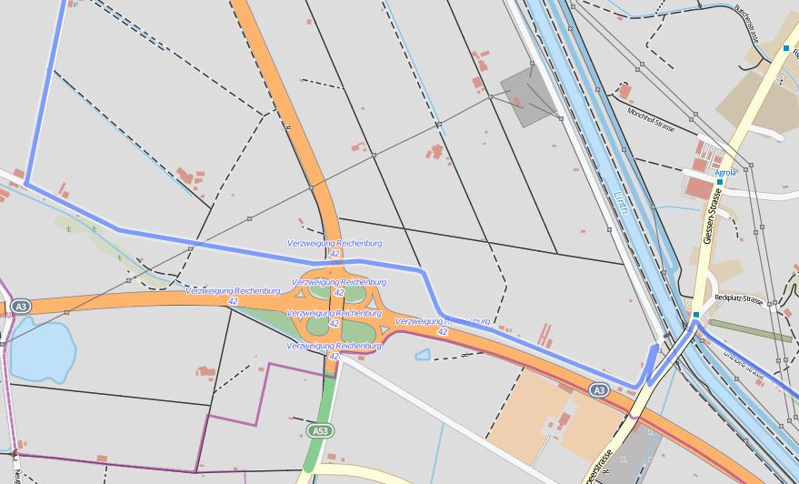
After the skate shop, you turn left and cross the bridge. After the bridge turn right and ride down the access road that parallels the main road, as shown below. You leave the bike route signs for a bit here, so you might need to consult the map. It’s not complicated, but without the bike route signs, I wasn’t exactly sure I was going the right way without looking at the map. But after you turn right/north at the end of this access road, it’s a straight shot back to Uznach, joining back up with the official bike routes eventually.
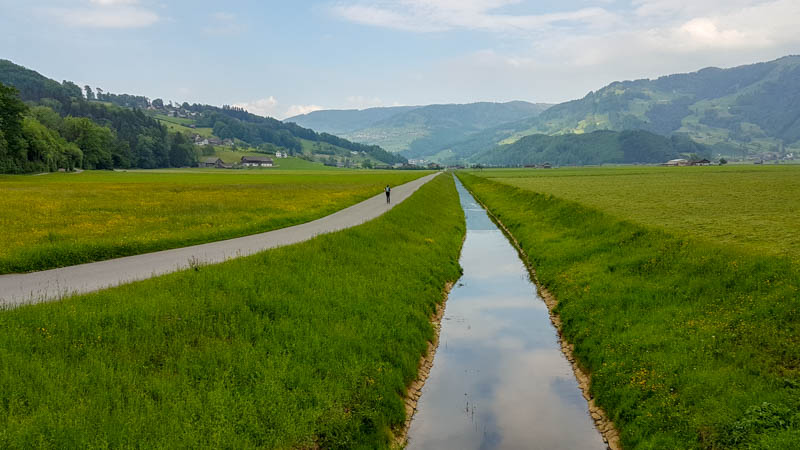

Turn right at the castle and ride on the separated bike lane back to the Uznach train station.
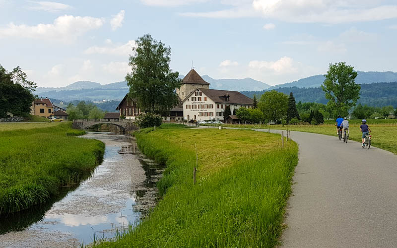
Here’s the bike route sign at the castle, follow blue route #99 direction Rapperswil.

One last pretty view before ending the ride.
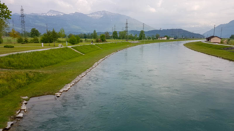
I hope you enjoy this ride! Leave me a comment if you do the ride and let me know how you liked it.
Don’t forget to Pin this for later






2 responses
I just have to know how you got the signs onto the ground! We’re going to try this ride this weekend. As always, a HUGE thank you for all your effort.
I hope you enjoy the ride! I’m not sure what you mean about the signs on the ground? I’m so curious!