Jonental is a pretty forested valley close to Zurich, good for a short outdoor break with the kids if you live nearby. This easy stroller-friendly walk meanders along a little stream, dipping in and out of the forest, with plenty of opportunities to throw rocks, gather sticks and other simple pleasures.
The path passes by several picnic areas and fire pits, some with tables. I’ve been in spring and fall and it was lovely in both seasons with the spring wildflowers and fall colors.
[]toc
| Location: | Zürich Region |
| Trail Start: | near Obschlagenstrasse 53, 8916 Jonen |
| Car: | about 30 mins from Zurich center Parking GPS: 47°17’55.2″N 8°23’54.3″E |
| Train/Bus: | 25 mins from Zürich HB to Hedingen, Bahnhof |
| Trail: | about 6 km one way, return with bus or walk back |
| Condition: | dirt, ok for all-terrain strollers |
| Skill: | easy, elevation gain 40 m |
| Open: | year round, weather dependent |
Location
This trail is located in in the forests west of Zürich.
Trail map
My maps shows a one way trail from the Hedingen train station, through the Jonental valley, ending in follows a small stream, the Jonen village.
If you are coming by car, you can start in Jonen, walk into the forest as far as you like and return the way you came. I would turn back before you pass under the freeway, making the round trip about 6km. If you are coming by public transportation, I suggest you walk one way from Hedingen to Jonen and return by bus. Directions for both methods below.
The main trail is a wide dirt path suitable for strollers, except one section where I’ve marked the stroller alternative in red. Bikes share sections of the path, so keep very little kids close by so you can warn them if a bike comes zooming by.
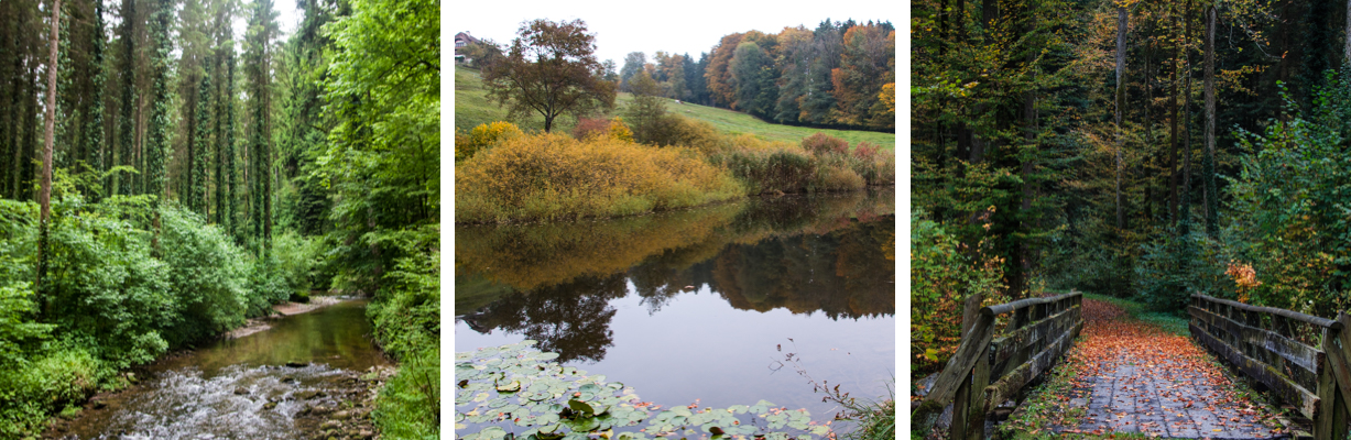
There are several picnic areas with fire pits along the trail. At the forest hut, aka Waldhut Jonen, near the chapel, there is a big picnic area, firepit and water. I didn’t see wood stocked at the fire pits we used, but there is plenty of fallen wood to use.
If you are interested in longer walks from this area, see Die Freizeitfreunde.
Getting There
The Jonental valley is easily accessible by car or bus.
By car: Drive to Jonen, southwest of Zurich. Once in Jonen, follow brown signs to the Jonental on Obschlagenstrasse. There is a small parking lot at the trail head, GPS: 47°17’55.9″N 8°23’55.7″E You can start and end your hike here.
By public transportation: it’s easiest to take a train to Hedingen (S5 and S14), then walk to the trail one way and return by bus from Jonen. From Hedingen, it’s about 1.5 km walk along quiet country roads and paths to reach the trail head near Zwillikon, as shown on the trail map above. I’ve done it and it was a nice walk.
To return from Jonen, you would take bus 215 to Affoltern a.A. Bahnhof (runs about every 30 mins, 8 min ride), then catch a train to your starting point.
Trail Impressions
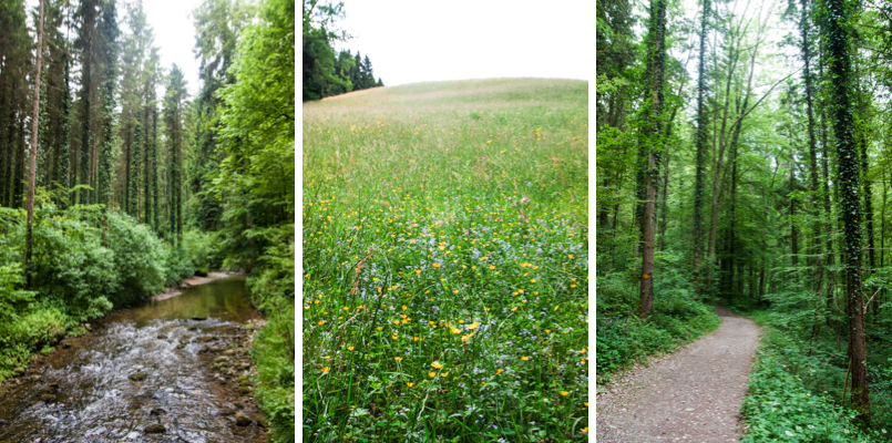
Here is what the trail looks like in May, very lush with lots of wildflowers.
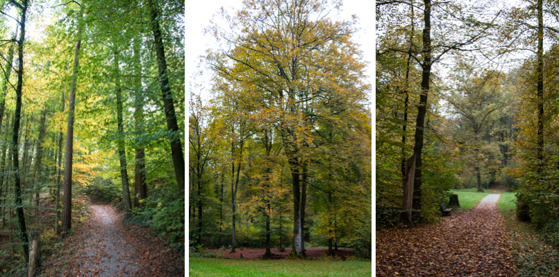
This is what it looks like in early October, lots of fall colors.
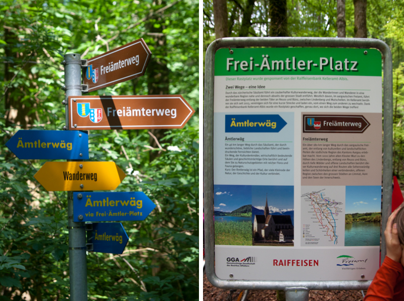
Here are some of the trail signs you’ll see. In general, follow the yellow Wanderweg sign.
I’ll be showing the photos a little out of order. I’ve hiked both directions on this hike, in spring and fall, so the photos are all over the place.
On the Trail – Starting in Jonen
If you are parking in Jonen, you will start walking northwest on the road, shown on the left. You’ll pass a couple houses and farms then the trail will lead along the stream to your right. If you take the forest trails on your right, you will hike up the hill into the forest, away from the river.
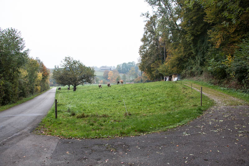
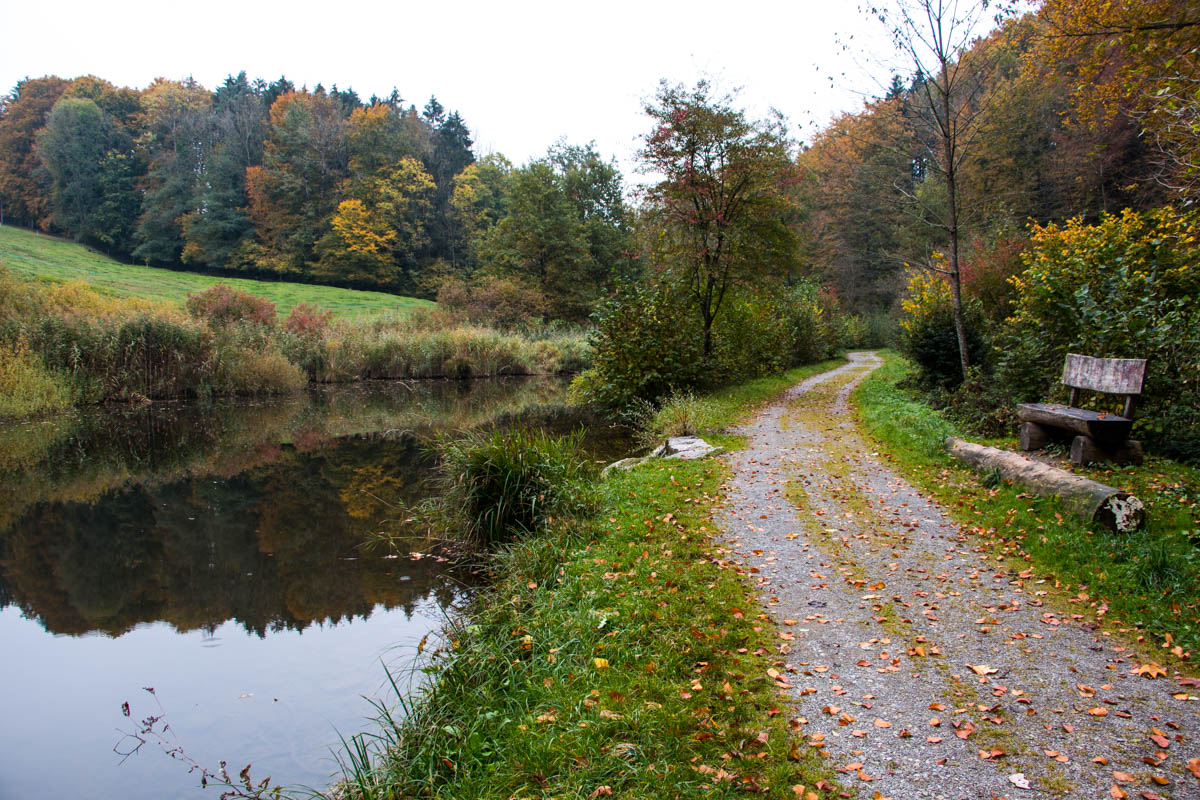
After you leave the houses, you’ll pass by this little pond, so lovely with fall colors n early October.
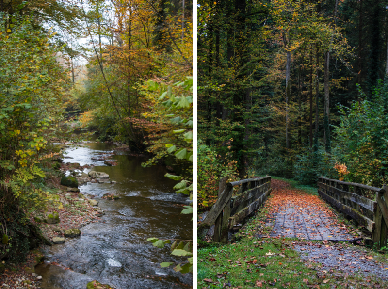
When you see the little bridge on the right below, strollers will need to take this path (same as bikes) to detour around the section that is too narrow and bumpy for strollers.
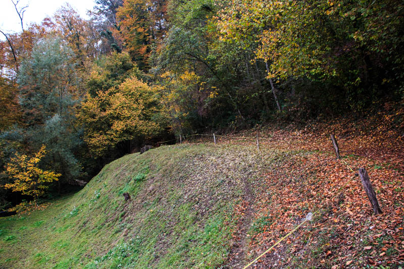
The non-stroller path looks like this, leading to the chapel.
Looking for the best online services?
Explore top-rated platforms and secure your discount before it expires.
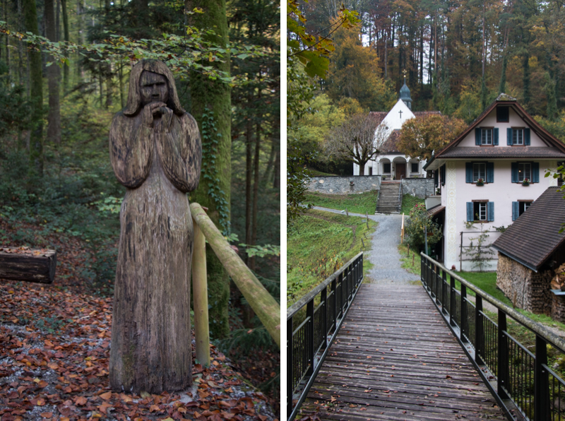
Here’s looking back at the chapel after crossing the big bridge. You can walk straight up the hill (past the statue shown below) to rejoin the wider stroller path and reach the forest hut shown below.
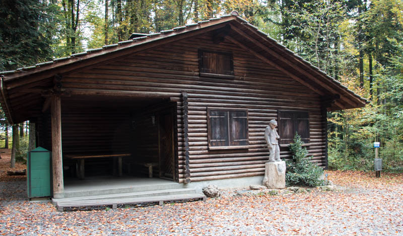
Here is the forest hut, with covered picnic tables, a fire pit with grill, and water.
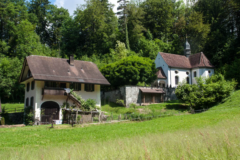
Back to the chapel along the river. A couple was getting married there the day we were hiking.
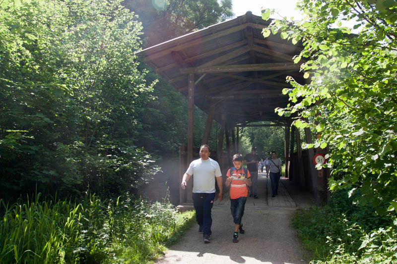
From the chapel, you can keep walking along the river. You’ll have to walk along this funny wood walkway.
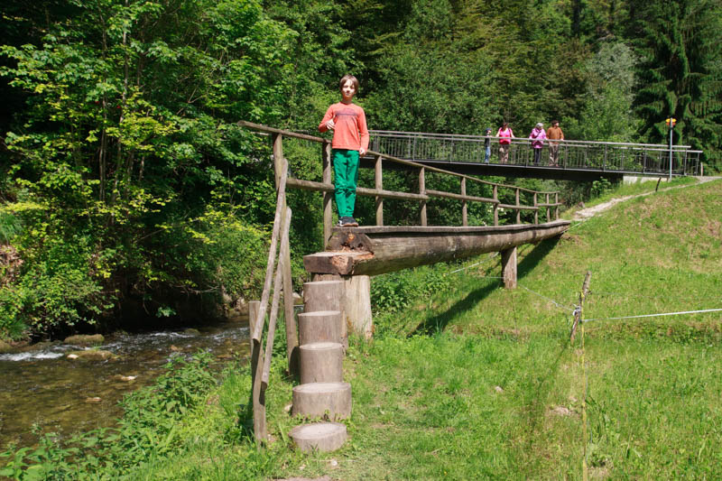
More of the fun narrow path before you connect back with the stroller-friendly path.

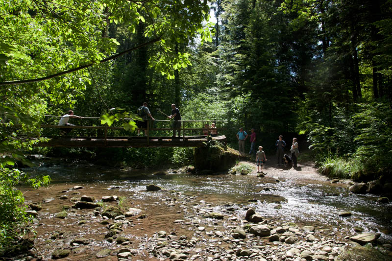
This bridge is near where the stroller path converges with the narrow path along the river. There are some fire pits here, a nice place for a picnic. Kids can easily wade in the water and explore the riverbank.
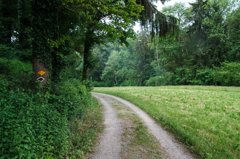
Back on the stroller-friendly trail. Sometimes the trail borders wide open fields.
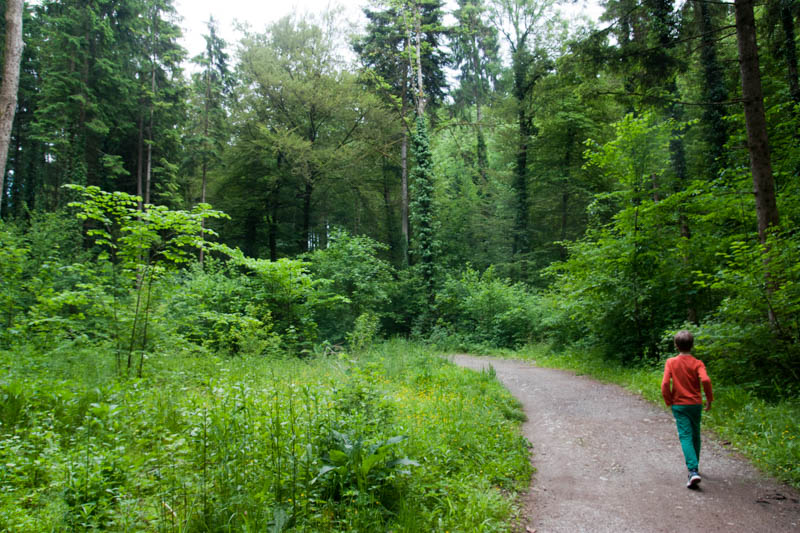
Sometimes headed into the shade.
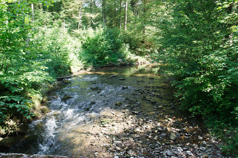
Always near the stream.
One of the picnic areas. To reach this one, you cross a little bridge to the other side of the stream.

On the trail – Starting from Hedingen
If you are walking from the train station in Hedingen, you will walk through a little neighborhood, by the stream shown below.
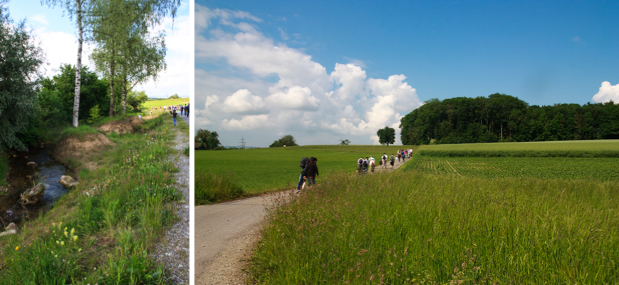
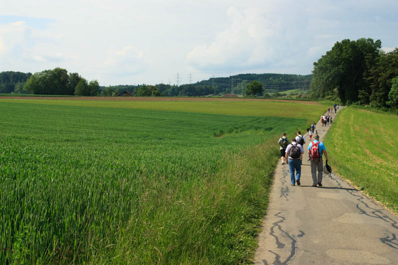
Then along quiet country roads, following the bike path and yellow hiking signs to Jonen and Kappelle Jonental. The pic on the right shows where you take a hard right to start down into the Jonen valley.
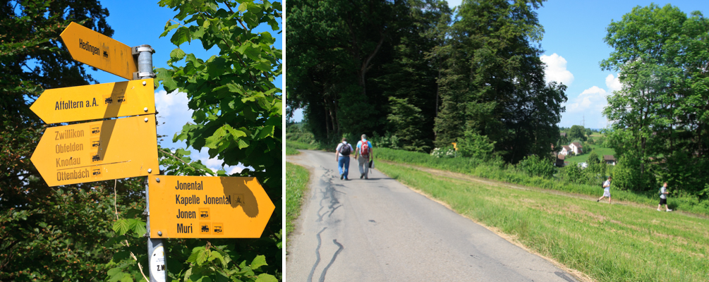
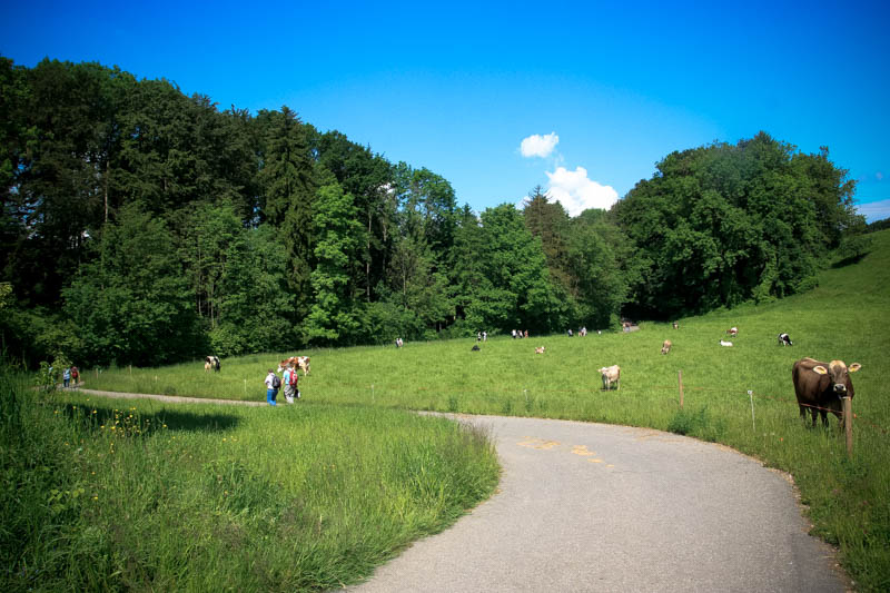
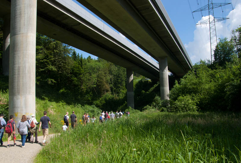
After you walk under the freeway, you enter the forest of the Jonen valley.
For more forest walks near Zurich, see our post Easy Nature Walks near Zurich





15 responses
I had a little trouble following the indications but I think it’s me (I need a vacation). I have sent these informations to a friend : “Walk into the forest as far as you like and return the way you came. I would turn back before you pass under the freeway, making the round trip about 6km.” I misread and thought we had to continue. Actually we finally turned back since we didn’t like the area after the freeway and needed a feuerstelle urgently :D.
Sorry my instructions weren’t more clear. I’ll think about how to make them better.
We did this hike yesterday with friends but we decided to turn back after the highway and the big factory because everybody wanted to go back in the forest (less windy / more grillspots) and I had no motivation to take a bus. It was nice with many spring flowers along the way and manageable with a stroller.
Agreed, much better before you reach the freeway, only necessary if you are determined to do a one-way hike.
Great little walk! Just did it with my younger son and we stumbled upon a local farm selling gorgeous pumpkins for a sliver of the price we normally see in Zug. Good find!
I remember that pumpkin stand. Glad you had a nice time.
Thanks for sharing this walk! In the “By public transportation” section there is still a mention of Affoltern a.A. which is probably incorrect.
Thanks. I reworked the public transport directions for this hike that hopefully make more sense now, starting in Hedingen, ending in Jonen, then returning by bus to Affoltern.
Thanks so much for your incredible blog! I’m planning a trip to Switzerland this fall and this has provided some very helpful info. We really want to see the beautiful leaves! The dates we are looking at are Oct 17 -24. Do you feel that colors will still be at peek? Or will we have missed it? Thanks!
The leaves should be perfect that week! Wishing you a great trip.
I, sorry, can’t find Oberstrasse, Hausen am Albis on Google maps. Is that correct?
No, the parking address is Obschlagenstrasse 53, 8916 Jonen. Where did you get the Oberstrasse, Hausen am Albis address? It was mentioned in a comment as incorrect and has since been fixed in my post. Sorry for the confusion.
Thank you very much for your blog. It is awesome and much more practical than the super complicated national tourism website: MySwitzerland.com
This trip is a very good tip and is quite relevant for April/May walks, before the higher altitude trails open up. It is quite a scenic walk. However, I doubt this is 4KM one way.
You may want to edit the address: Oberstrasse 14, Hausen am Albis, Canton Zurich, Switzerland. It does not make sense.
Thanks for your helpful comment! You are correct, the address is wrong – I accidentally copied it from another post. I’ve made the correction, now stating the correct address of the parking area in Jonen where the trail starts.
According to my mapping application, the trail is 4.5 km from the parking in Jonen to the bus stop in Zwillikon. Of course, the hike would be twice that if you chose to walk back instead of ride the bus back to Jonen. I’ll use GPS tracking next time I do the trail to see if this is accurate.
I hope you enjoy the trail and thanks again for pointing out these mistakes in my post. I really appreciate it!
Thank you, we will try this route today!