Looking for an easy nature walk near Davos? We think you’ll love the Ducan waterfall, tucked into the peaceful Sertig Valley.
After a short drive or bus ride from Davos, it’s a relaxing stroll on a wide flat path along the river to reach the waterfalls. Along the way, you’ll find plenty of spots by the water for a picnic or just relaxing with the alpine scenery.
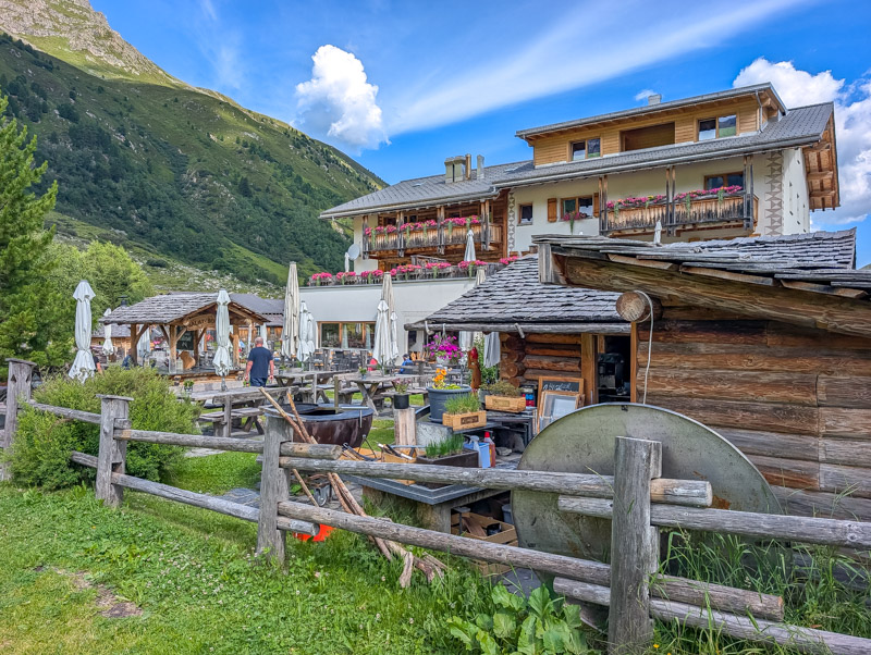
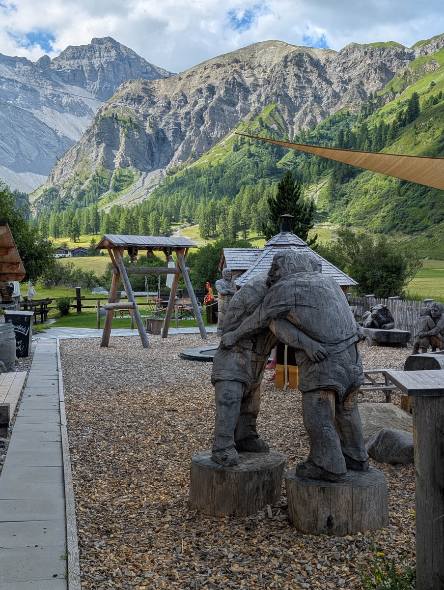
On the way back, stop at the Walserhuus restaurant for lunch on their sunny terrace while the kids enjoy the playground.
This outing is a great choice for families with younger children, those with limited mobility, or anyone looking for beautiful mountain views views with minimal effort.
Quick Info
| Region | Davos Klosters • Graubünden • southeast Switzerland |
| Start: | Sertig, Sand bus stop |
| By car: | Parking near Davos Platz train station. Then bus to trail head at Sertig, Sand bus stop. From Zürich to Davos 1h45, then 23 min bus ride |
| By public transport: | Sertig, Sand bus stop From Davos 23 mins, Zürich 2h42 |
| Trail: | 45 mins • ⬇️ trail map |
| Distance: | 2.9 km round trip |
| Difficulty: | easy • +68m -68m |
| Condition: | wide dirt footpath, strollers ok |
| Elevation: | highest point 1925m |
| Open: | late May to October |
| Cost: | parking fees or bus fare to reach trail head |
| Discounts: | bus to trail included with Swiss Travel Pass, Saver Day Pass, Davos Day Pass (VBD), GA bus partially covered by Davos Premium Card, see details below |
| Services: | restaurant at start of trail |
| More info: | davos.ch • Sertig valley webcam • forecast |
Gallery
These pics on the walk to Ducan Falls are from the second week of July.
Trail Overview
This trail starts at the end of the road in the Sertig valley, at the bus stop and parking. You walk out to the falls, then back the way you came.
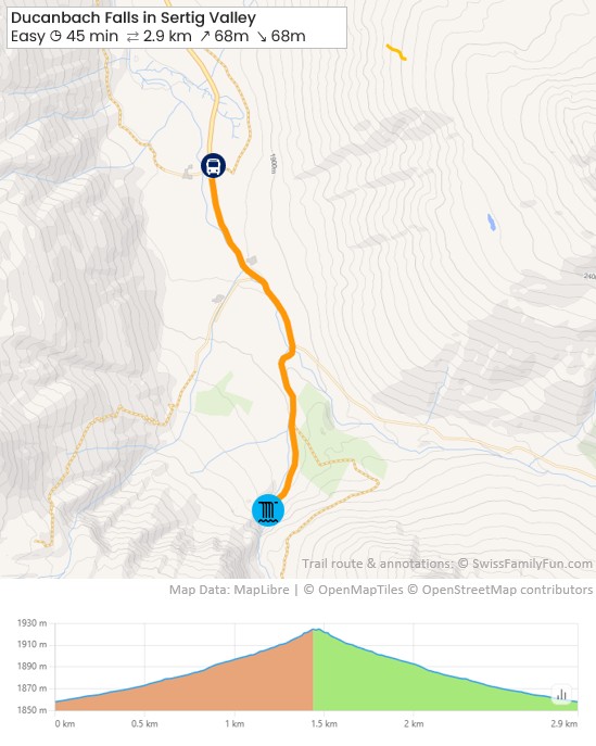
See trail map on SchweizMobil
Trail conditions
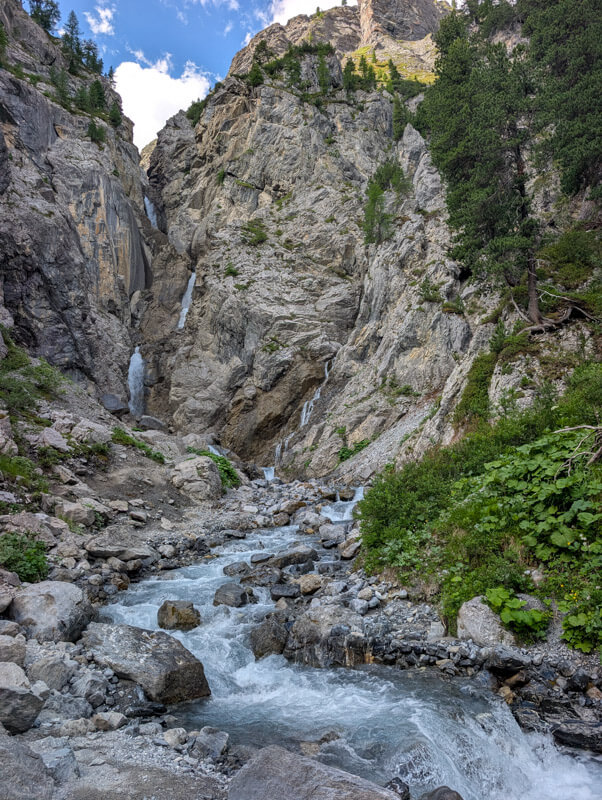
The trail is a wide dirt path until the last minute close to the waterfall, where it becomes a dirt foot path and a bit rocky. You could bring a stroller on the main path.
How to get there
This trail is located in the Sertig valley near Davos, in the Graubünden region of southeast Switzerland.

The trail does not require mountain transport. You start walking directly from the parking and bus stop.
By public transport:
From Davos Platz train station, ride bus 308 to Sertig, Sand bus stop. Travel time 23 mins. The bus travels on a winding mountain road.


The bus generally departs every 30 mins.
- Timetable Bus 308 – Davos Platz, Bahnhof > Sertig, Sand
- Timetable Bus 308 – Sertig, Sand > Davos Platz, Bahnhof
By car:
You can drive to the start of this trail at Sertig Sand. There is a metered parking lot at the start of the trail near the Walserhuus Sertig hotel. See on map.
However, the road up the valley is mostly a winding one-lane mountain road, with only occasional passing areas. You may prefer to park near the Davos Platz train station and take the bus, as described above. There is a large metered parking lot just a 2 min walk from the train station – see on map.
Planning your day
When to go
This trail is possible as soon as the snow is melted. Since it is at a high elevation, this usually happens around late May. Check webcams.
Costs
Your only costs are for parking or bus fare to reach Sertig.
Parking can be paid with a parking app like EasyPark or ParkingPay.
Bus tickets:
In 2026, bus fare from Davos costs CHF 16 (adult full fare, round trip). This is the same as the Davos region day pass (“VBD”), which gives you unlimited use of public transport in all zones of the area.
Best to purchase tickets on SBB.ch shortly before your journey, not on the bus.
Travel Pass Discount: The bus to Sertig valley is regular public transport, so free with Swiss Travel Pass, Saver Day Pass, GA. Also free for children with SBB Junior Card or Swiss Family Card.
Guest Card Discount: If you are staying overnight in the region, you get the Davos Premium Card, which covers local bus transport near your hotel.
But the guest card doesn’t cover the Sertig valley unless you are staying in that valley. So check the zone plan carefully to see what your card covers.
For example, if you are staying in Davos, your card covers the bus as far as the Davos Clavadel, Klinikstrasse stop. You would need to purchase a ticket (on SBB.ch) for the remainder of the journey to Sertig, Sand.
Where to eat
Next to the bus stop and parking, you’ll find Walserhuus Sertig, which has a restaurant with a large outdoor terrace overlooking the view.
Near the waterfall you can picnic along the river.
Where to stay
We suggest staying in nearby Davos, which is a convenient base for this hike and exploring other parts of this region.
We enjoyed our recent stay at Hotel Waldhuus Davos (4-stars), which has a quiet location. Our beds were very comfortable and we loved the beautiful mountain views from the balcony.


Their breakfast is generous with a nice selection of local cheese and freshly cooked omelets. Their restaurants serves elevated versions of Swiss classics, very tasty.
This hotel is especially family-friendly, with a spacious family suites, supervised kids club, playground, indoor pool, mini golf and game room.


Note: our recent stay was hosted by Hotel Waldhuus Davos. As always, all opinions are our own.
Photo story of trail
We took the bus from Davos, dropping us off at the Walserhuus hotel & restaurant.

From here, you start the walk on the service road.

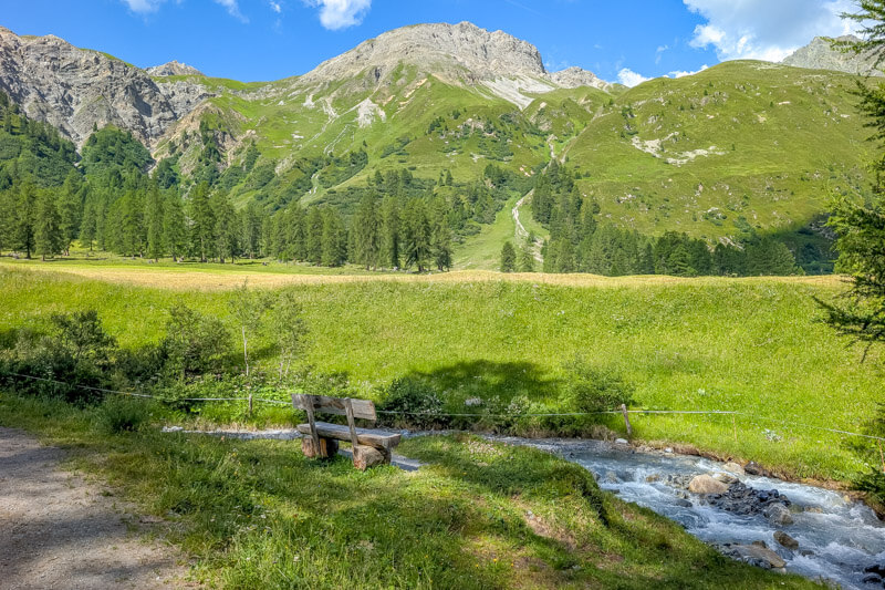
A few benches along the way.
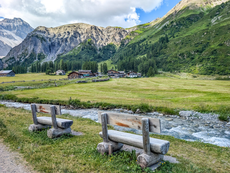
You can’t get lost. Just follow the river.
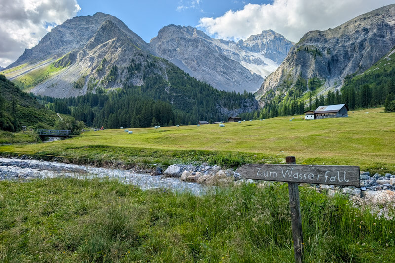
After about 10 mins, the trail splits. Keep right following signs to Wasserfall. You’ll pass another river flowing into the main river.


Continue along the forest.
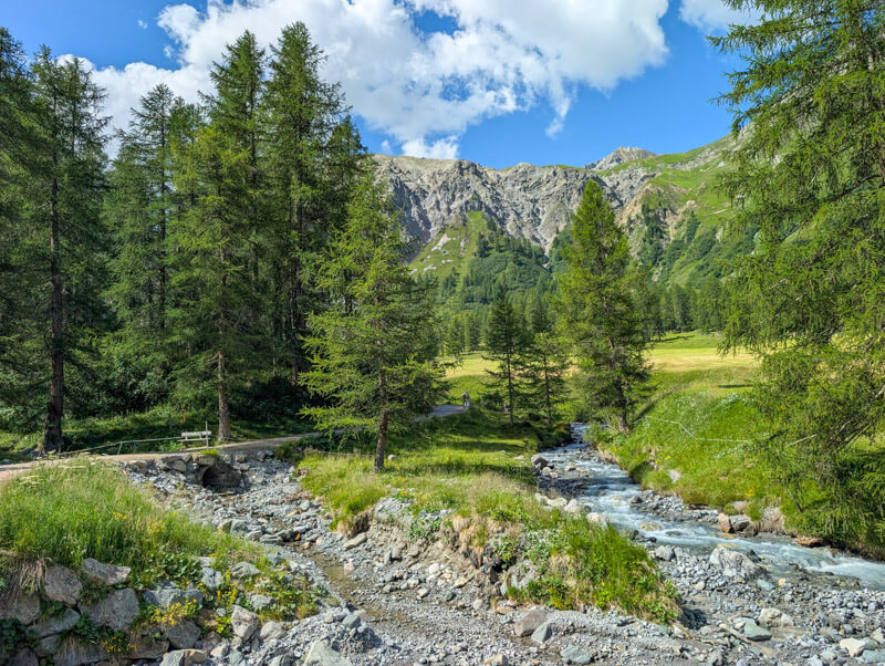
More benches.
Still cool in the shade around 10:30am.
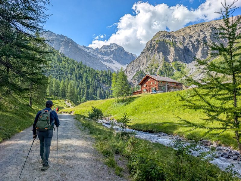
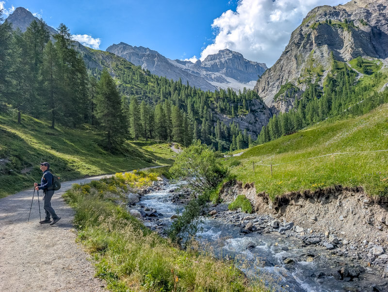

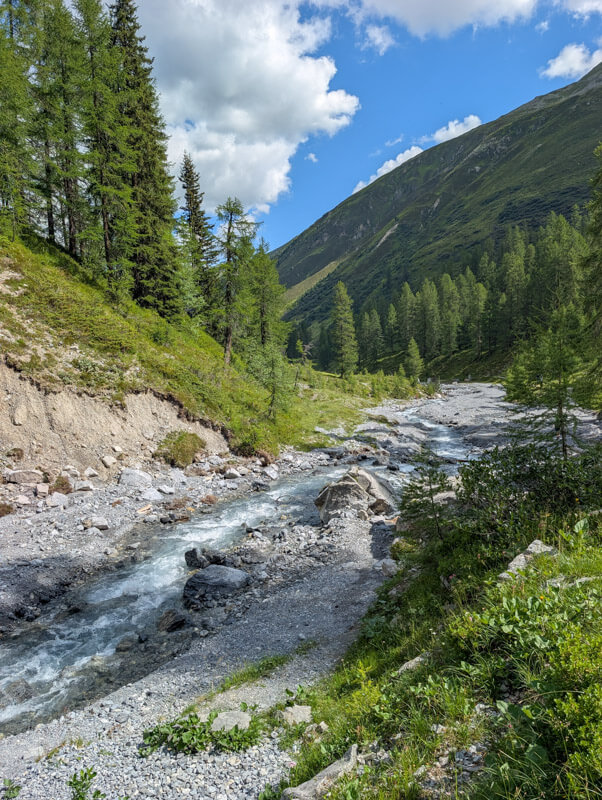
Keep right at the next split in the trail. The much longer Walserweg trail starts to your left.
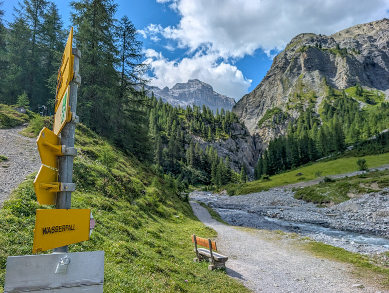
Getting close to the waterfalls.
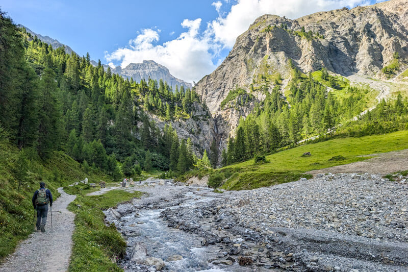
For the last minute, the path gets a little rocky as you approach the falls.
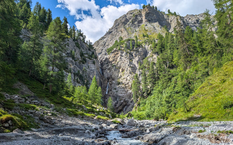
You can ramble quite close to the water. No pools for swimming here.
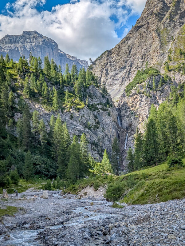
Then walk back to the Walserhuus for lunch with a view and fun playground for the kids.
Hope you enjoy this walk!




