This lovely walk through the Areuse gorge takes you through forests and meadows along the river, with several narrow sections with dramatic cliff walls. It’s a long hike at 11km, but mostly downhill and not difficult. We saw many families with toddlers walking on their own.
Even though it’s a popular hike, you can easily separate yourself from the crowds and with many peaceful picnic spots along the way. Also, it’s a good option for the shoulder seasons when mountain trails are covered in snow and mountain transport is closed. We heard this is a great spot for fall colors, so maybe we’ll come back in October.
| Location: | near Northwest Switzerland |
| Trail Start: | Noiraigue train station Place de la Gare 2, 2103 Val-de-Travers, Switzerland |
| Car: | 2hr from Zurich to Boudry, gare train station then 25 min train ride to trailhead |
| Train: | 2hr from Zurich HB to Noiraigue |
| Trail: | 11.5 km one way, about 3 hours |
| Condition: | dirt and paved |
| Skill: | easy |
| Open: | March through November |
| More info: | www.neuchateltourisme.ch |
Hiking Map
The hike from Noiraigue to Boudry is just over 11km, following the Areuse river as shown on the map below. The trail is mostly easy terrain, with dirt and gravel paths, some stairs, some narrow sections with guardrails, and some paved roads.
The trail is suitable for families with small children, but not suitable for strollers.
Shorter alternative
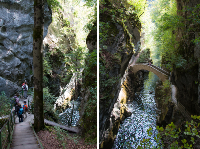
You could take the train to Champs du Moulin instead of Noiraigue and hike down from there, which is only 6 km. The lower half of the trail is probably the most impressive so it would still be worth your time even if you didn’t want to hike the whole trail. However, the pretty stone bridge is 2 km up-river from this halfway point, so you’ll miss that.
Even shorter alternative
If you just want to see the bridge, take the train to Champs du Moulin or drive and park at Restaurant de la Truite (Champ-du-Moulin-Dessus 7, 2149 Champ-du-Moulin) next to the river. From there, hike 2 km up river to see the bridge, then turn around and hike back to your starting point.
Getting There
This trail is located in northwestern Switzerland in the Jura & Three Lakes region, near Neuchâtel, about an hour west of Bern. This is a one way trail, downhill from Noiraigue to Boudry, both locations accessible by train.
By car: If you are driving, you can use the train to shuttle yourself to the top of the trail. Drive to Boudry, gare train station and park at the station. Last time we were there, the parking was free and not metered.
This may seem complicated, but it’s the best way. From Boudry, take a train to Auvernier (direction Neuchâtel, every hour on the xx:38), then change to another train to Noiraigue (direction Buttes). Total travel time 25 mins from Boudry to Noiraigue. Your hike ends back at the Boudry train station where your car is parked.
By public transport: Take the train to Noiraigue (via Neuchâtel) and start the hike there. End your hike at the Boudry, gare train station and catch a train to Neuchâtel (runs every 30 mins), then your final destination.
Photo story
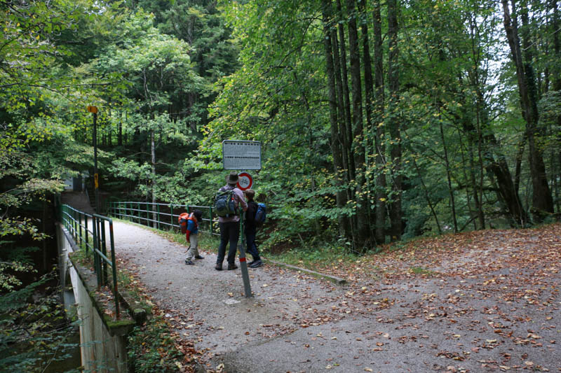
From the Noiraigue train station, follow yellow trail signs to Gorges de l’Areuse and Boudry. Throughout the trail, look for the yellow diamond hiking symbols, which indicate where the hiking path diverges from the road and bike path. It’s easy to follow.
The trail starts on a paved path along the river and gradually descends into the gorge.
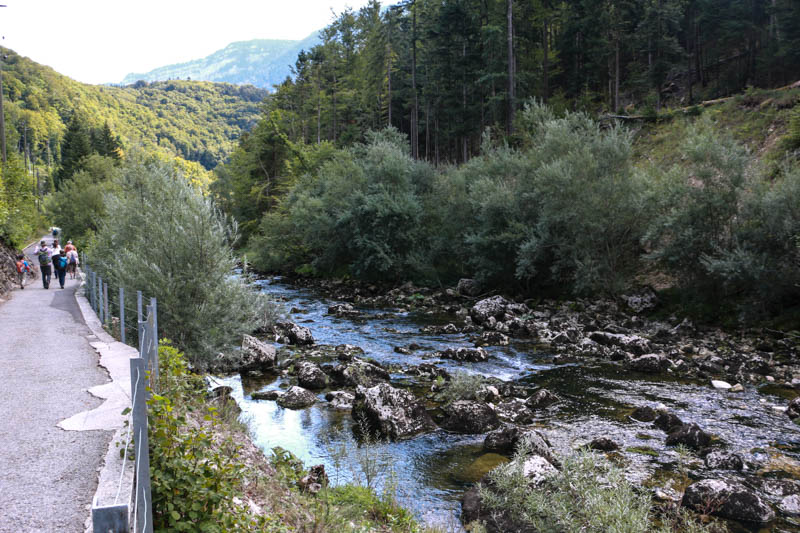

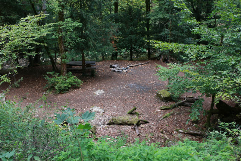
We passed a few picnic areas along the way.


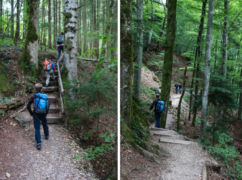
As the gorge narrowed, the path became more rustic.
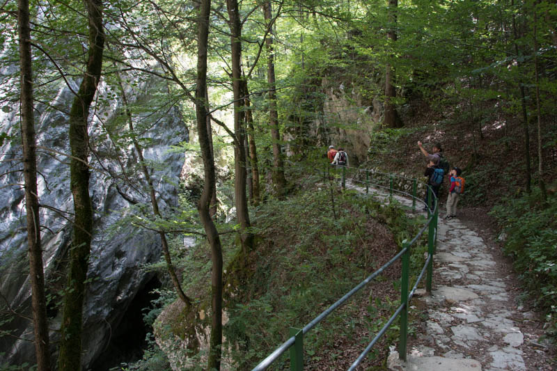
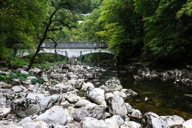
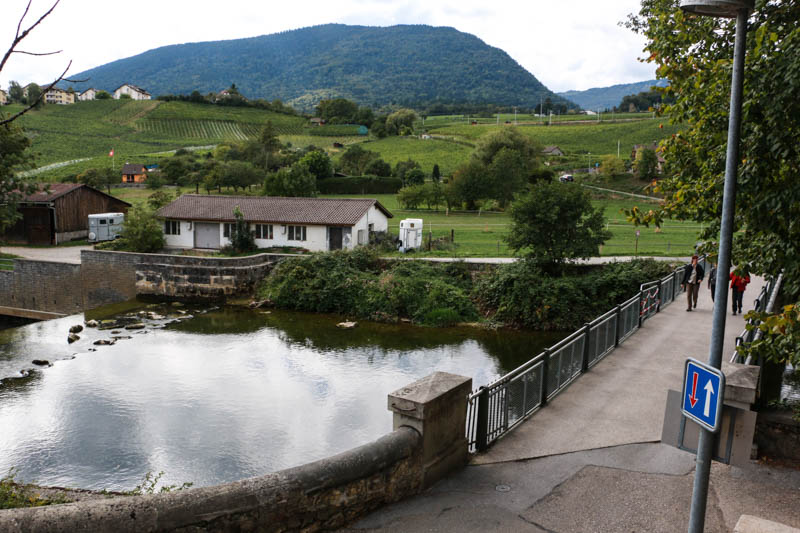
Stairs lead to the famous bridge in the middle of the trail.
A cafe in the middle of the trail, near Champs du Moulin.




We had our picnic here on the river bank rocks.

Nice view from our picnic spot.
A waterfall along the trail.


Picnic area.
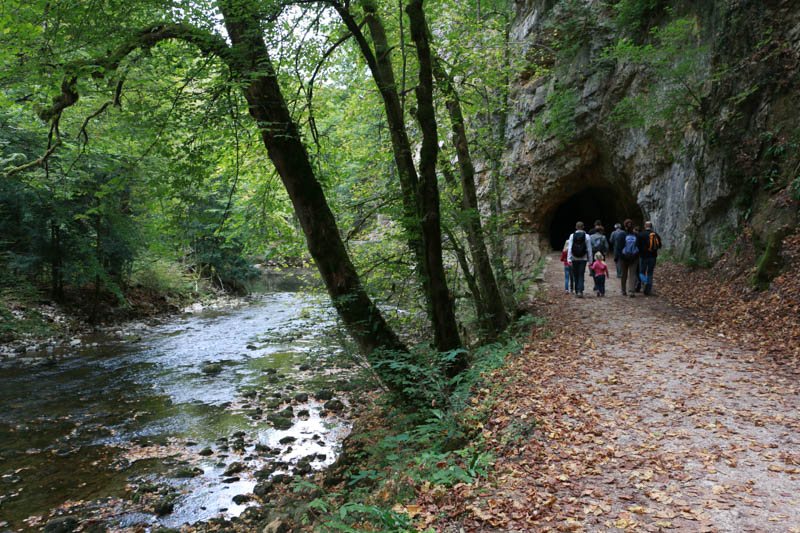
The trail leaves the gorge at Boudry. It’s a short walk uphill to the train station.
Don’t forget to Pin this for later…






7 responses
Hi Tanya,
Thanks for this great piece. My wife and I are hoping to visit the Areuse Gorge this May. If the weather holds we would do the whole walk from Noiraigue to Boudry. However, if we do want to do a shorter version if it’s bad weather would it be possible to start at Noiraigue and stop at Champs du Moulin? How long is that?
Also, is their any ticket that needs to be purchased for the gorge? Thanks and looking forward to hearing from you. I read your piece on the Burgenstock trip. All planned for June when it’s slightly warmer.
Thanks and best,
Sri,
Basel
The trail from Noiraigue to Champ du Moulin is 4.77 km, plan for at least 90 mins. It’s free to walk through the gorge, no ticket required. Hope you enjoy it.
Hi,
Thank you so much for sharing your adventures. Thanks to you my family and I just booked our first trip to Switzerland! I had a question about Areuse Gorge and I was hoping you could help me 😉
We are going to rent a car from Geneva and drive to Grindelwald to do your best hike #4 and I was thinking it would be nice to stop to see the Areuse Gorge on the way. You wrote that it was possible to do half the trail and stop at champs du Moulin. But can we reach that by car? or do we have to take a train? I appreciate any tips you got;)
Thanks,
Gen and company!
Glad you are finding the blog helpful! The Areuse Gorge is rather out of the way if you are going in Grindelwald. I’d recommend swapping that for something in the Jungfrau region. But if you really want to go to the Areuse Gorge… Yes, you drive directly to Champs du Moulin and walk to the pretty bridge and walk back to your car (here’s a pin for where to park: https://goo.gl/maps/My5yxRpZVH5Ajr4z7). That would be a rather short walk, just to see the bridge. Or you could park in Noiraigue and take the train to Champs du Moulin and hike back to Noiraigue where your car is. But again, I think you would have a much better time by staying in the Jungfrau region, maybe visit the Grindewald Gorge instead?
I loved this hike. Planning to go again with some camping stuff.
Thanks Debbie. I'm glad you had a good time and that my post was helpful. I still need to add some captions on the pics in this post. Whoops! You reminded me. Happy hiking!
My husband, daughter, and I just did this walk yesterday! The fall colors were beautiful. You're explanations and advise were spot on! Thank you for a great destination! Keep 'me coming, please. 😀