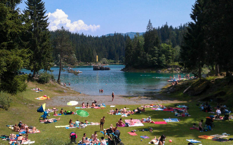
One of our spring traditions is visiting Lag da Pigniu in Graubünden, an alpine lake west of Flims/Laax. The loop trail around the lake leads to two dramatic waterfalls.
One side of the trail is a wide dirt road suitable for strollers, the other side a narrow footpath. Near the waterfalls, there is a picnic area with tables and a fire pit. We love this in late May when the yellow dandelions are out and the lake level is low so we can play in the riverbed.
Contents
| Location: | Graubünden |
| Address: | , Surselva, Switzerland |
| Car: | Parking GPS: 46°49’25.6″N 9°06’40.6″E 1hr45 from Zurich |
| Train: | Closest bus stop: Pigniu, then 2km walk to dam 2h45 from Zurich |
| Trail: | 4 km loop, about 2 hours |
| Elevation: | 1490m |
| Condition: | one half smooth dirt road, suitable for strollers other half narrow dirt path |
| Skill: | easy |
| Open: | best May through October |
| Cost: | free |
| More info: | www.surselva.info |
Hiking map
The below map shows the loop trail around the lake. You park below the dam, walk up to the dam, then follow the trail around the lake.
Note: the bridge on the far end of the lake is taken down during winter and rebuilt sometime in early June. So you may not be able to walk the full loop during spring. We still go here in May and just make the best of it, which often means staying on the east side of the trail and climbing over some debris on the trail.
See trail on Komoot • SchweizMobil • OutdoorActive
At the north side of the lake near the waterfalls, there is a picnic area with tables and fire pits at the north side of the lake. There is sometimes wood at the picnic area, but not always.
Stroller version:
If you have a stroller and small children, stay on the east side of the lake, where you walk on a wide dirt service road. The west side of the lake is a narrow footpath, not possible with strollers.
How to get there
Pigniu reservoir is located in Graubünden in southeastern Switzerland, about 50 mins west of Chur. See on Google Maps.

By car:
Put the town of Pigniu in your GPS, which is a tiny village in the alps. The lake is 2 km past this town on a narrow one lane mountain road.
From Zürich, drive south past Chur on the A13. Take exit 18-Reichenau towards Flims. Follow this road for about 25 mins, turning off on a tiny mountain road when you see a sign for Pigniu. It’s a few minutes up the mountain on a one-lane road (with lots of turn outs for oncoming traffic).
Drive through tiny Pigniu and then a few minutes further on a lumpy dirt road to the dam. It might look like you shouldn’t drive on this road, but it’s fine. People here speak Romansch, so even if you understand German, don’t expect to be able to read most of the signs here.
Here’s the parking area next to the dam. It’s free, not metered. If this is full, we’ve seen cars on the side of the road below the parking.

By public transport:
This is a bit difficult to access by public transport because you can only take the bus as far as the town of Pigniu, then you must walk on the dirt road 2 km to reach the dam.
First take a train to Ilanz in the valley. Then bus 423 to Pigniu, Vitg (19 min ride). The bus runs infrequently, so check the schedule beforehand.
Then walk 2.4 km on the dirt to road toward Lag da Pigniu, takes about 40 mins. It’s not a super hard walk. We did it with a 4 and 7 year old. You just need to watch for cars.

Photo story of the trail
Arrival at dam
You park at the base of the dam, then follow a path through the wildflowers to the top of the dam. this is the only elevation gain of the trail. This pic was in mid-May when the dandelions are usually out, but sometimes they mow them.

By the first week of June, the flowers have changed to white daisies and lots of other varieties.

Walk up to the dam either on the small footpath or the road if you have a stroller.

Starting the hike
Here is a view of the reservoir from the dam. The waterfalls are on the far side of the lake, about 2 km from the dam, about 30 min with little kids walking. The trail on the east side is a dirt road, good for little kids and strollers, shown below.


Here’s the picnic area at the far end of the lake.

Picnic Area
At the far side of the lake, you reach a river flowing from the waterfall above. The fire pit and picnic tables are on the far left of this picture. Usually we have to gather driftwood for the fire.

Sometimes the water level is very low end of April and beginning of June, as shown below.

When the water level is low, many rocks are exposed. We like to build our fire here.

When the water is low, we also like to play near the icy river. It’s usually too deep and cold and moving to fast to wade around in the water. But we build dams and float sticks. Careful in the lake bed mud, which is spongy and can feel a little like quicksand. My boys shoes got stuck in the mud and they came running back in muddy socks asking me to dig out their shoes.

Northeast waterfalls
Right behind the picnic area you’ll see a set up waterfalls on the cliffs above feeding the river that flows into the lake. You can scramble up the hillside to get a closer look but there’s no defined trail and it can get slippery and steep. We did it anyway and got a very nice view.


Continue loop to second waterfalls
To continue the loop trail, you have to cross a river on a bridge, which is perfectly fine in summer, as shown on left below. However, this bridge is taken down during winter and not rebuilt until summer season. So if you go in early spring, don’t plan to do the loop trail. We’ve gone many times in May and never seen the bridge. We’ve gone twice the first week of June and the bridge was there.

Warning: One time when there was no bridge, we walked through the river, which was icy and about 20 cm deep, with fast moving water. We carried our kids and stroller over the river, not recommended. Sometimes there is an ice pack over the river and hikers use this as a bridge. Not a good idea. I was terrified that we would crack through and fall into the river. Instead, my foot cracked through the icy surface and dropped down several cm into the snow pack, twisting my ankle and had to wear a brace for several weeks after. Don’t do that. Just turn around and walk back the way you came.
If you cross the bridge, you get a closer view of the bigger waterfalls on the northwest side of the lake. Here’s a view from the trail and second bridge.

You can scramble up the grassy hillside to get an even closer view of the falls and nice overview of the lake. It’s steep with a small footpath, but our little kids had fun doing it. Just stay from the river’s edge, which is dangerous. One time we had our picnic up there.

Continue the loop on west side
The west side of the trail is a narrow foot path, not particularly long or difficult. But it is not suitable for strollers.

There is one part with some stairs and a steep drop to the side.

This part of the trail seems to change each year based on erosion.


Warning about visiting off season
The best time to visit Pigniu is June to mid September. Here are a few things to know if you visit outside this season.
Here’s what the lake looks like the first week of May, with a much lower water level and not green yet.

In summer, the trail is obstacle free. But in spring, the trail hasn’t been cleaned up yet and any debris accumulated during winter may still cover the trails, as shown below with a landslide still blocking the trail the last week of May. We just climbed over it.

In early spring, the west side often has big snow packs covering the trail. In mid-May, our trail was covered three times by a huge patch of snow (it’s covered with dirt, but it’s still about a meter of snow under there). It was a little tricky to cross and I was nervous about breaking through the crusty surface. Not recommended. Better to do this part of the trail in summer season.

Either go later in the season or stay on the east side of the lake and you’ll be fine.
Video of the trail
Here’s a video of one of our hikes around Lake Pigniu.


4 responses
Hi Tanya. Do you know if it makes sense to go there in the beginning of August? We are staying nearby next week and could use the opportunity. Thanks!
Sorry I’m replying so late. Yes, absolutely go there in August. Should be beautiful! Let me know if you go and what you think.
Made an attempt at this hike yesterday after finding it on your blog. Looks like the area suffered some major landslides over the winter. I got about a quarter of the way along the trail on the eastern side of the lake only to find it totally blocked and workers in the process of clearing it.
I walked back to the dam and went up the western trail, and looking across the lake to the other side there are still a number of other landslides that they haven’t got to yet. The bridge is also out, but I guess that is to stop people walking down the eastern side from the other end.
And to cap it all, in the hour that I was at the waterfalls, on the way back down to the dam, the western trail had been completely blocked by landslide debris that they were digging out of the lake on that side. Just about managed to scramble over it on my own, but it would have been impossible with small kids or a pushchair.
I’m so sorry to hear this and thanks for letting us know. We have also had problems with landslides blocking the trail on previous May hikes there, but never as bad as you describe. The bridge has always been out when we’ve gone in May. But when we went on 3.June 2017, the bridge was up and the town was having a big celebration there. So perhaps opening day is next week and that’s why all the workers were there. I will make stronger warning about that in my post and reconsider including this my spring recommendations.
I did a little research and found the following page that has the status of the trail. I will include this link with my post.
https://www.surselva.info/Media/Attraktionen/Feuerstelle-Grillplatz-Lag-da-Pigniu-Wasserfaelle
It says that at the moment, the trail is not passable because they are rebuilding the bridge. However, it says that the trail to the picnic area is possible with wheelchairs and strollers, which when you went, it clearly was not.
I hope you were still able to enjoy the waterfalls and I wish you better luck on your next outing!